Elevation of Turkewadi, Maharashtra, India
Location: India > Maharashtra > Kolhapur >
Longitude: 74.3308864
Latitude: 15.8794348
Elevation: 727m / 2385feet
Barometric Pressure: 93KPa
Elevation Map:
Satellite Map:
Related Photos:
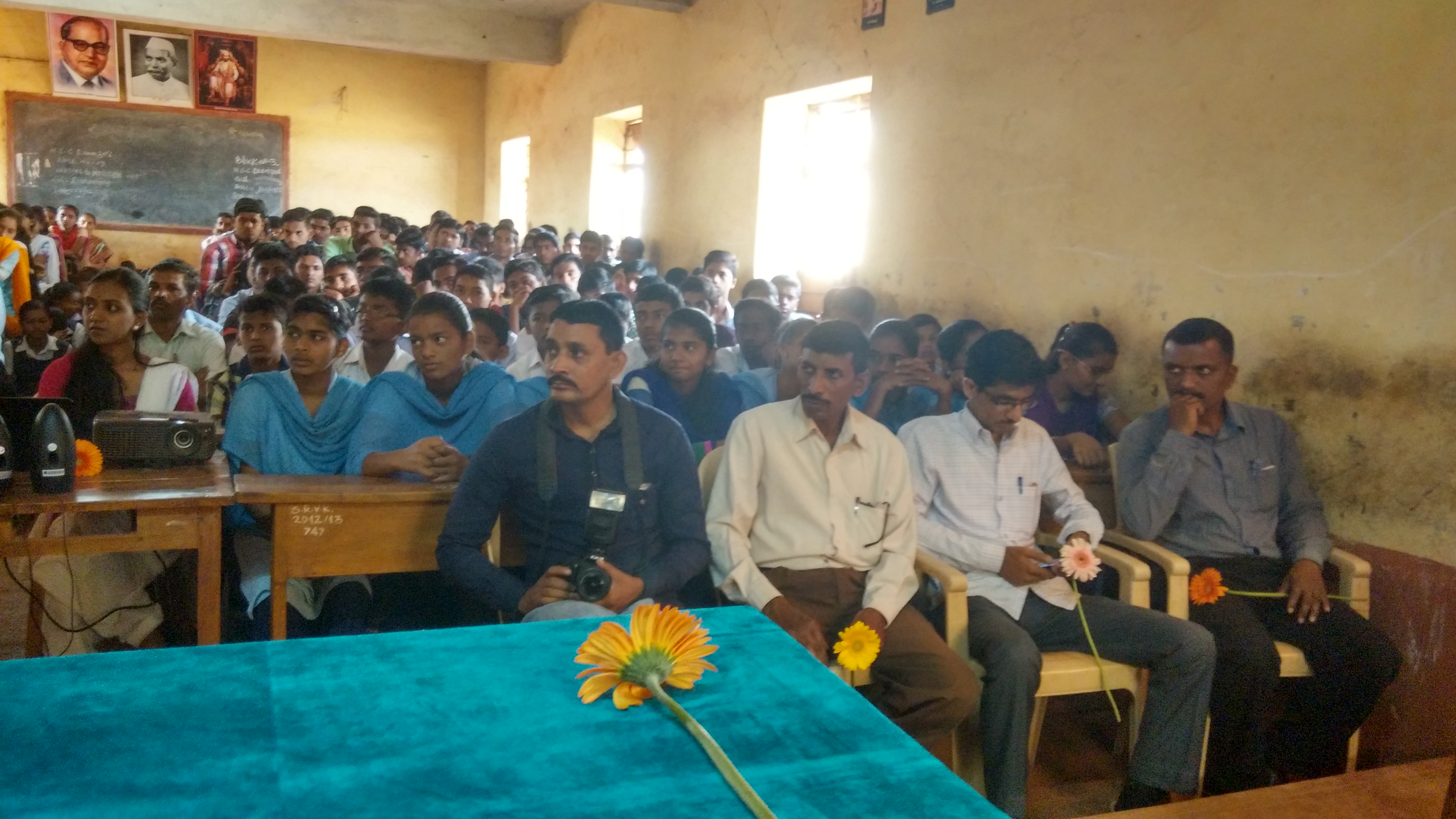
Lecture on National Science Day at Nool, Kowad, Kolhapur for student & teachers. All Lectures since 26-02-2016 are organised by Marathi Vidnyan Parishad, Gadhinglaj

Lecture on National Science Day at Nool, Kowad, Kolhapur for student & teachers. All Lectures since 26-02-2016 are organised by Marathi Vidnyan Parishad, Gadhinglaj

Lecture on National Science Day at Nool, Kowad, Kolhapur for student & teachers. All Lectures since 26-02-2016 are organised by Marathi Vidnyan Parishad, Gadhinglaj

Crazy Yatra

@natgeo pnya photographer sesat kt India. XD

@idayahkapi kata "beburung berkicauan"

Lets call it a day. CFCS intervention session in Kinaye is finally over. Thanks everyone! :)

Baby Bulbul in our garden.
Topographic Map of Turkewadi, Maharashtra, India
Find elevation by address:

Places near Turkewadi, Maharashtra, India:
Murkutewadi
Vaitakwadi
Mathoshree Hospital, Majare Karve
Supe
Mauje Karve
Tavarewadi
Dhekoli
Gaulwadi
Mandedurg
Dhumadewadi
Humbarwadi
Devarwadi
Dholagarwadi
Shri Sateridevi Temple
Surute
Mahipal Gad
Bagilage
Tambulwadi
Marathi Vidya Mandir Kadalge Khurd
Sundi
Recent Searches:
- Elevation of Falling Spring Rd, Clyde, NC, USA
- Elevation of Kingsfield St, Castle Rock, CO, USA
- Elevation of AMELIA CT HSE, VA, USA
- Elevation of Abbey Dr, Virginia Beach, VA, USA
- Elevation of Brooks Lp, Spearfish, SD, USA
- Elevation of Panther Dr, Maggie Valley, NC, USA
- Elevation of Jais St - Wadi Shehah - Ras al Khaimah - United Arab Emirates
- Elevation of Shawnee Avenue, Shawnee Ave, Easton, PA, USA
- Elevation of Scenic Shore Dr, Kingwood Area, TX, USA
- Elevation of W Prive Cir, Delray Beach, FL, USA