Elevation map of Kenora, Unorganized, ON, Canada
Location: Canada > Ontario > Kenora District >
Longitude: -89.14786
Latitude: 54.7821676
Elevation: 127m / 417feet
Barometric Pressure: 100KPa
Elevation Map:
Satellite Map:
Related Photos:

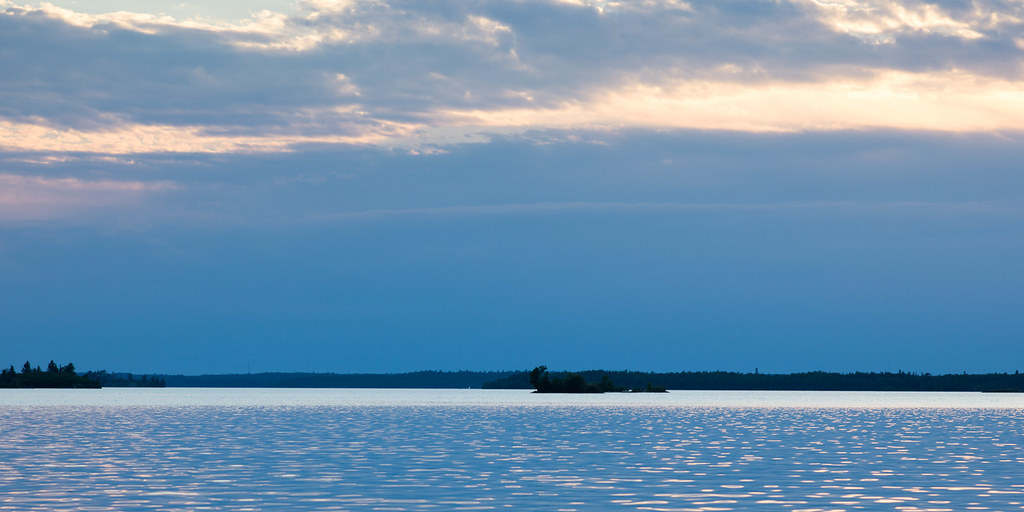
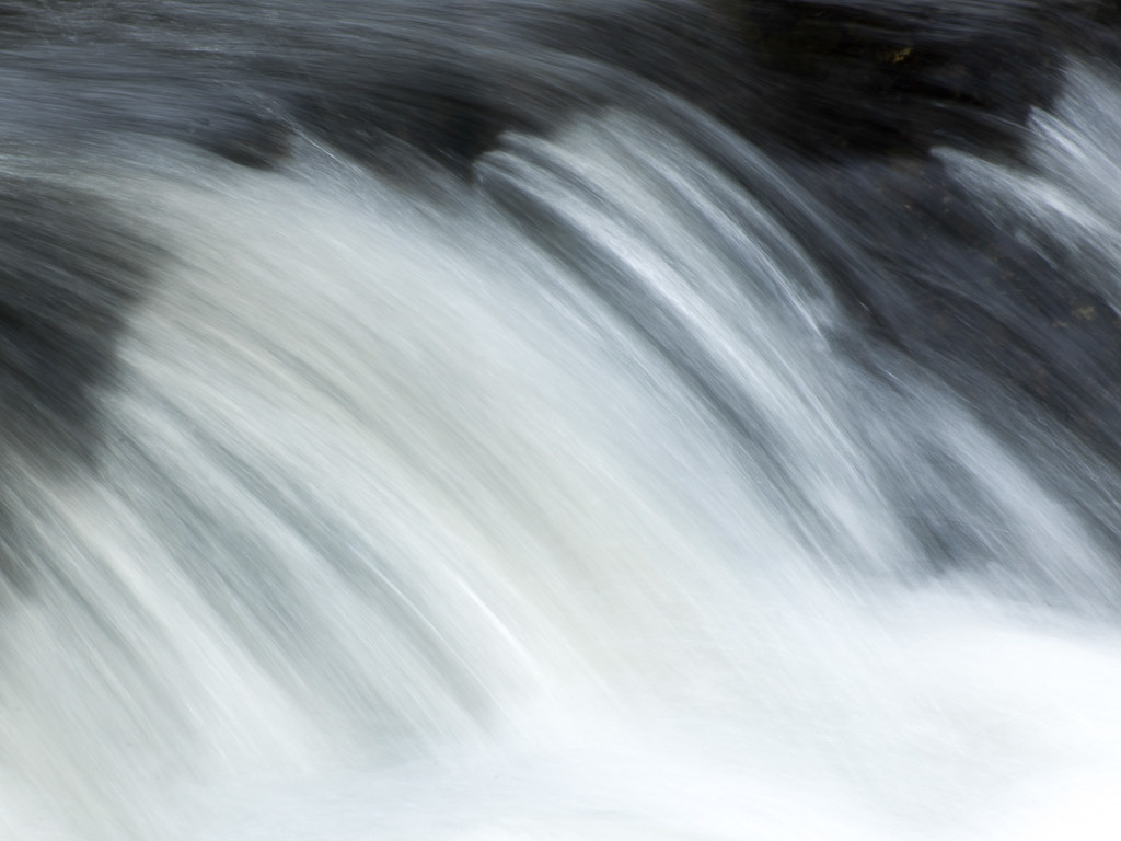
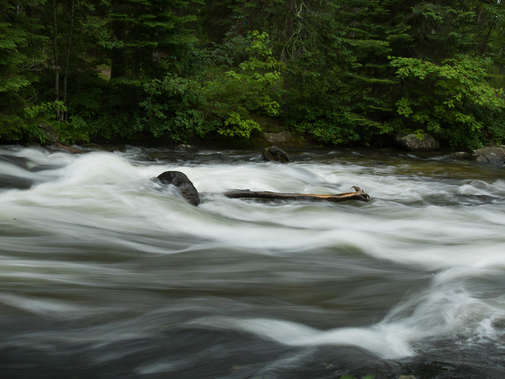
Lake of the Woods 2012

Lake of the Woods-5.jpg

A_08657.jpg

B_01351.jpg

A_08634.jpg

Lake of the Woods-22.jpg

DSC_0417.jpg
Job_0054.jpg
A_08625.jpg
Manomin Lake Canoe trip 2013-11.jpg
A_08647.jpg
A_08642.jpg

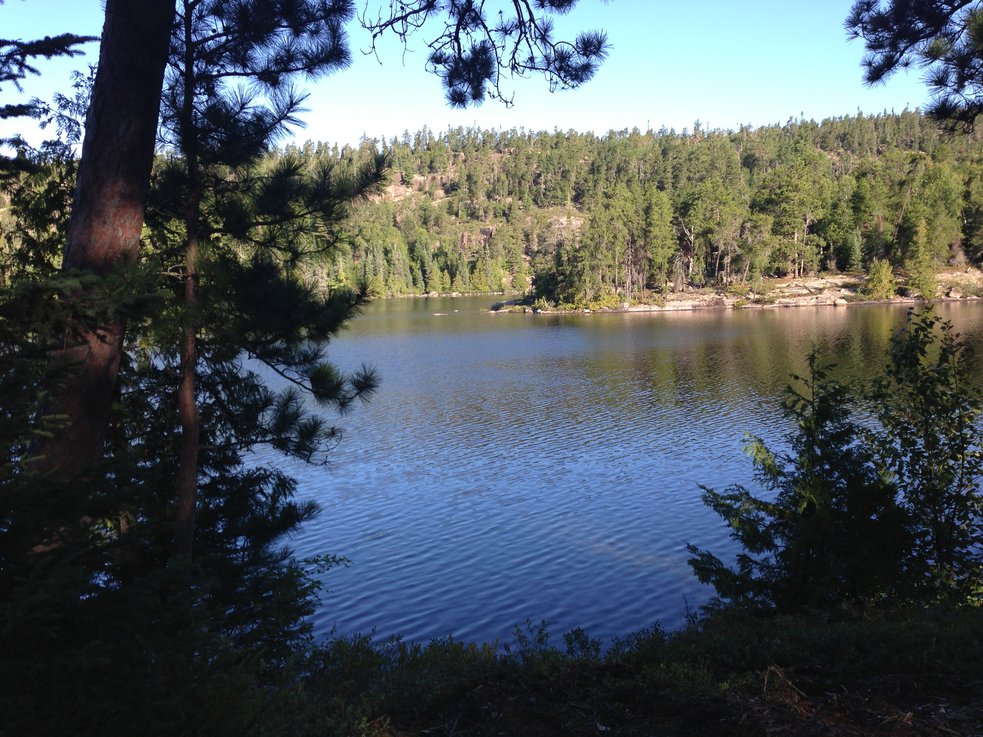
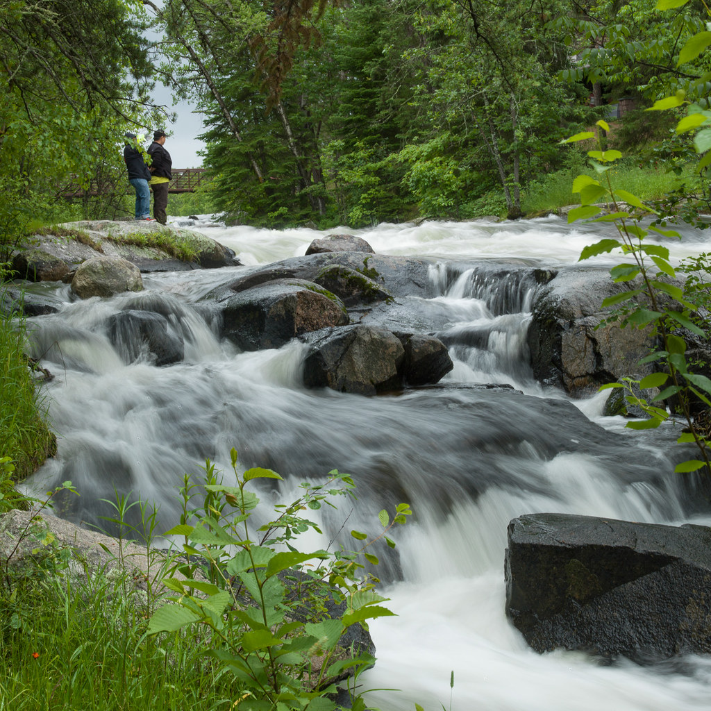
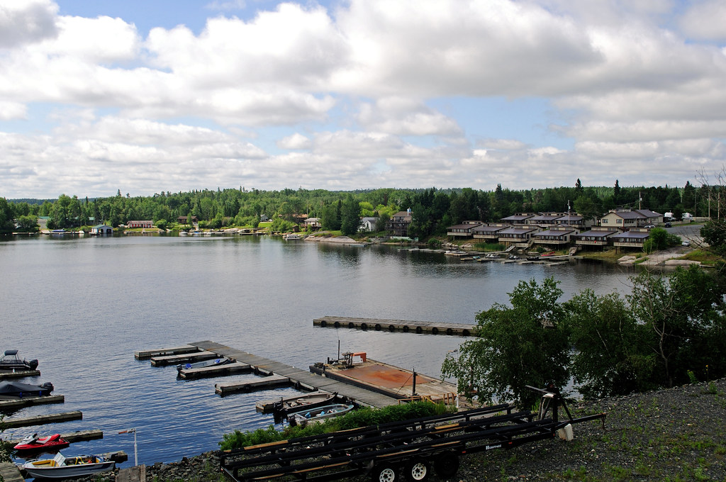
Lake of the Woods 2015

lake-123.jpg
Minaki, ON

lake-51.jpg

lake-12.jpg

lake-89.jpg
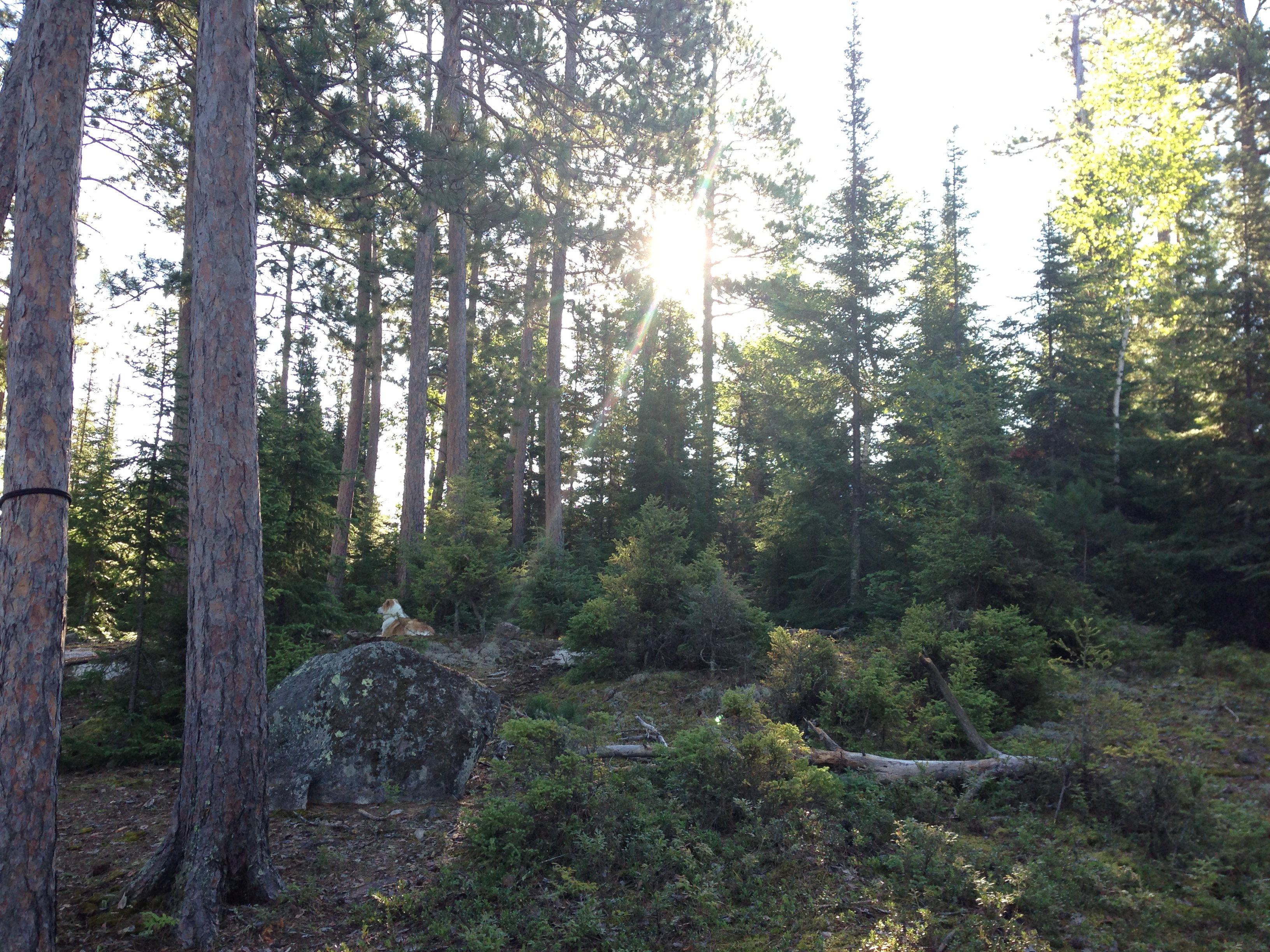
Manomin Lake Canoe trip 2013-13.jpg

A_08672.jpg
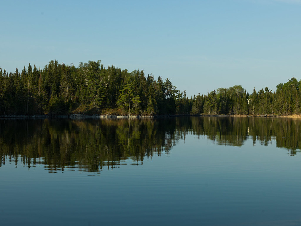
Lake of the Woods 2015
Lake of the Woods-30.jpg
Topographic Map of Kenora, Unorganized, ON, Canada
Find elevation by address:

Places in Kenora, Unorganized, ON, Canada:
Ingolf
Trans-Canada Hwy, Kenora, Unorganized, ON P0V, Canada
Clearwater Bay
Muskrat Dam
Shoal Lake
Summer Beaver
Recent Searches:
- Elevation of Dog Leg Dr, Minden, NV, USA
- Elevation of Dog Leg Dr, Minden, NV, USA
- Elevation of Kambingan Sa Pansol Atbp., Purok 7 Pansol, Candaba, Pampanga, Philippines
- Elevation of Pinewood Dr, New Bern, NC, USA
- Elevation of Mountain View, CA, USA
- Elevation of Foligno, Province of Perugia, Italy
- Elevation of Blauwestad, Netherlands
- Elevation of Bella Terra Blvd, Estero, FL, USA
- Elevation of Estates Loop, Priest River, ID, USA
- Elevation of Woodland Oak Pl, Thousand Oaks, CA, USA