Elevation of Trans-Canada Hwy, Kenora, Unorganized, ON P0V, Canada
Location: Canada > Ontario > Kenora District > Kenora, Unorganized >
Longitude: -93.288190
Latitude: 49.8240074
Elevation: 390m / 1280feet
Barometric Pressure: 97KPa
Elevation Map:
Satellite Map:
Related Photos:

Female Eastern Bluebird

Morning view from our deck

Male Eastern Bluebird on 3-Burl Perch

Male Eastern Bluebird with a Grasshopper

Blue. #lasthurrah

Northwest Ontario sunrise. #athousandglorioussunrises #viewfrommyofficewindow #transcanadahighway #trucking #truckinglife #rsa_rural #roadscenes #rsa_nature #rebel_scapes #ruralontario #royalsnappingartists #iphoneonly #igerscanada #infamous_family

Canadian Arborvita
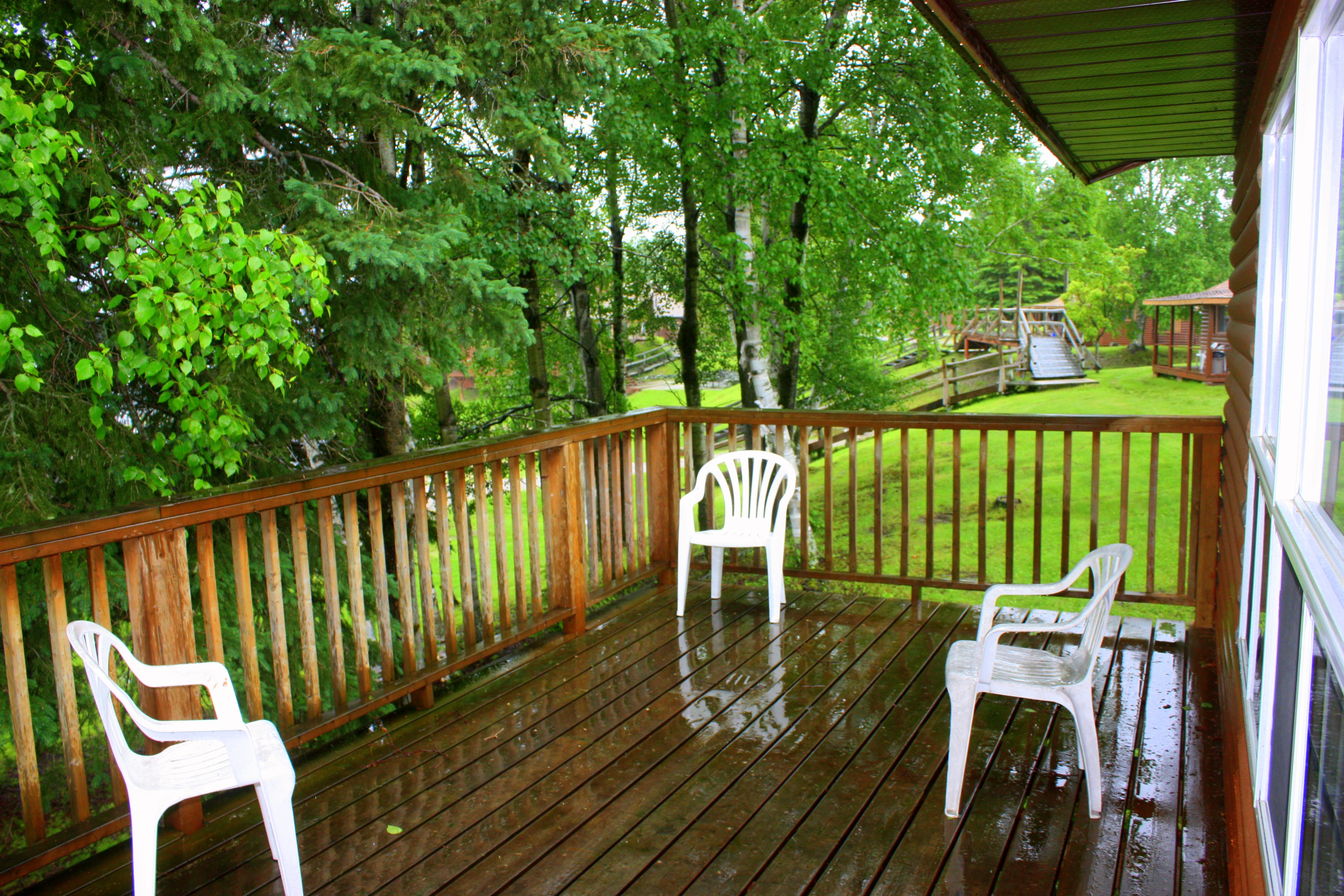
Rainy Day In Camp

Canadian Roadtrip (100)
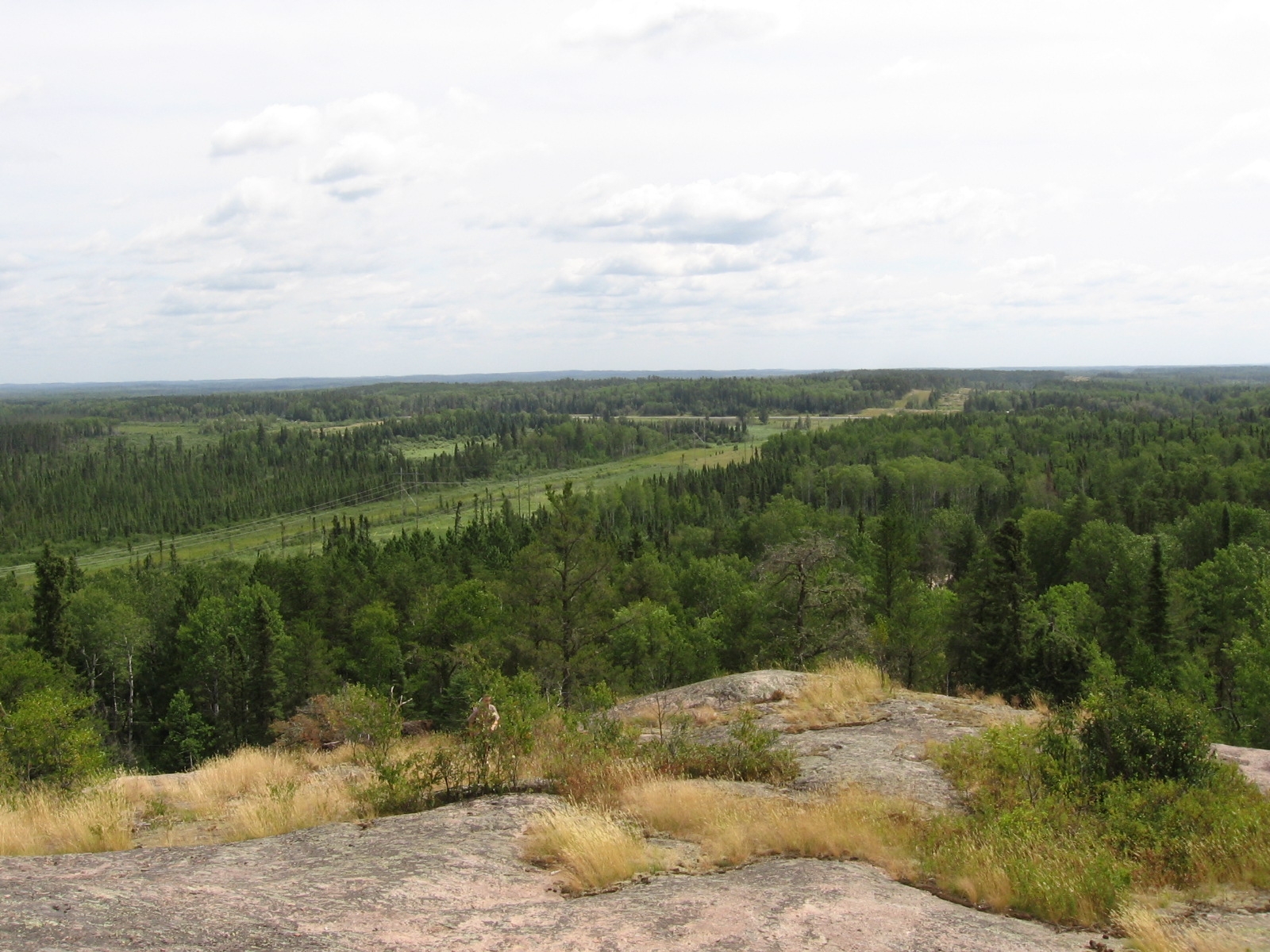
101.Landscape, Vermilion Bay
Topographic Map of Trans-Canada Hwy, Kenora, Unorganized, ON P0V, Canada
Find elevation by address:

Places near Trans-Canada Hwy, Kenora, Unorganized, ON P0V, Canada:
Recent Searches:
- Elevation of Rojo Ct, Atascadero, CA, USA
- Elevation of Flagstaff Drive, Flagstaff Dr, North Carolina, USA
- Elevation of Avery Ln, Lakeland, FL, USA
- Elevation of Woolwine, VA, USA
- Elevation of Lumagwas Diversified Farmers Multi-Purpose Cooperative, Lumagwas, Adtuyon, RV32+MH7, Pangantucan, Bukidnon, Philippines
- Elevation of Homestead Ridge, New Braunfels, TX, USA
- Elevation of Orchard Road, Orchard Rd, Marlborough, NY, USA
- Elevation of 12 Hutchinson Woods Dr, Fletcher, NC, USA
- Elevation of Holloway Ave, San Francisco, CA, USA
- Elevation of Norfolk, NY, USA