Elevation of Kayapa Proper East, Kayapa, Nueva Vizcaya, Philippines
Location: Philippines > Cagayan Valley > Nueva Vizcaya > Kayapa >
Longitude: 120.898694
Latitude: 16.2983599
Elevation: 1574m / 5164feet
Barometric Pressure: 84KPa
Elevation Map:
Satellite Map:
Related Photos:
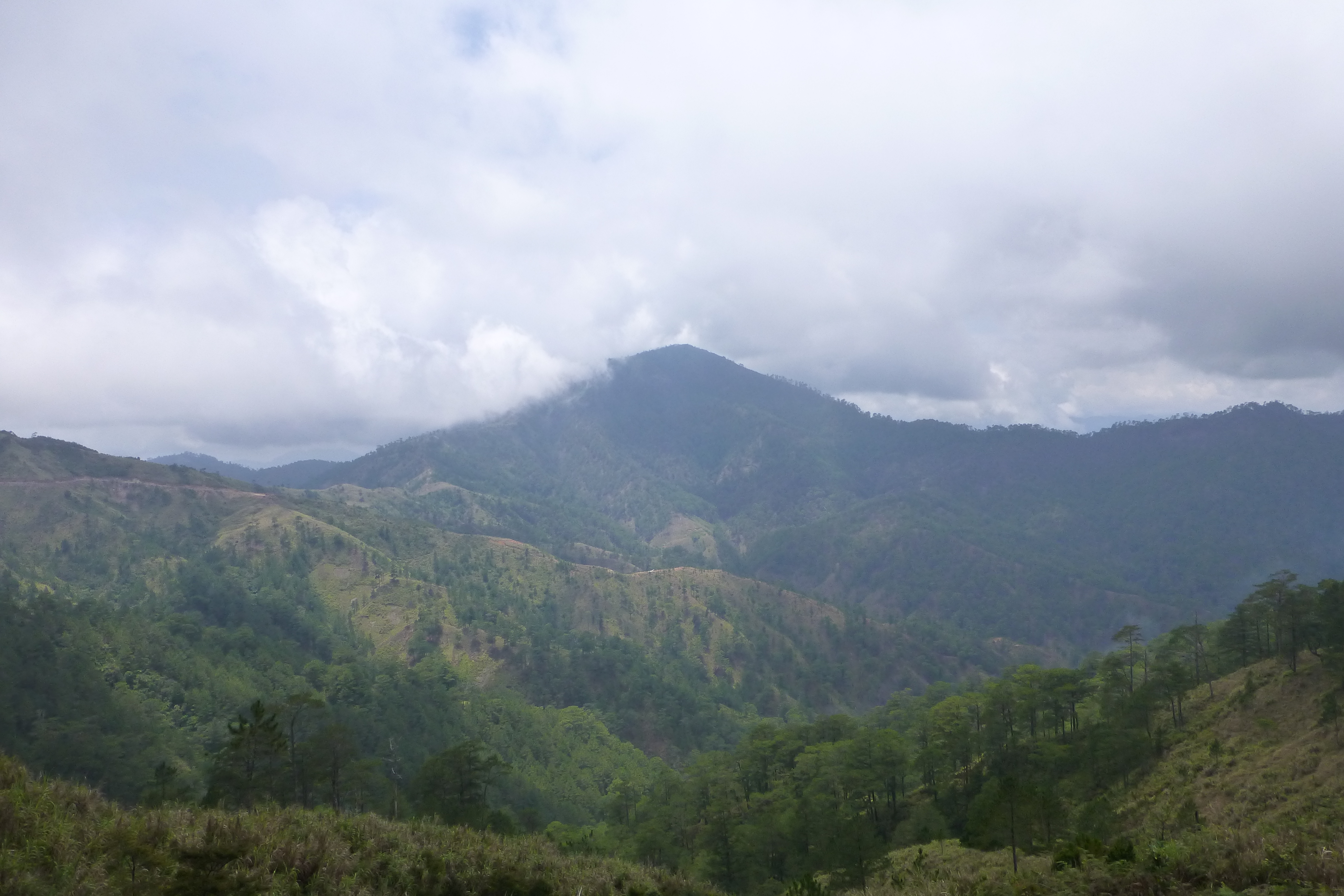
View of Mt Ugo
View of Mt Ugo
The Summit
down to Domolpos village

walking on the bunds
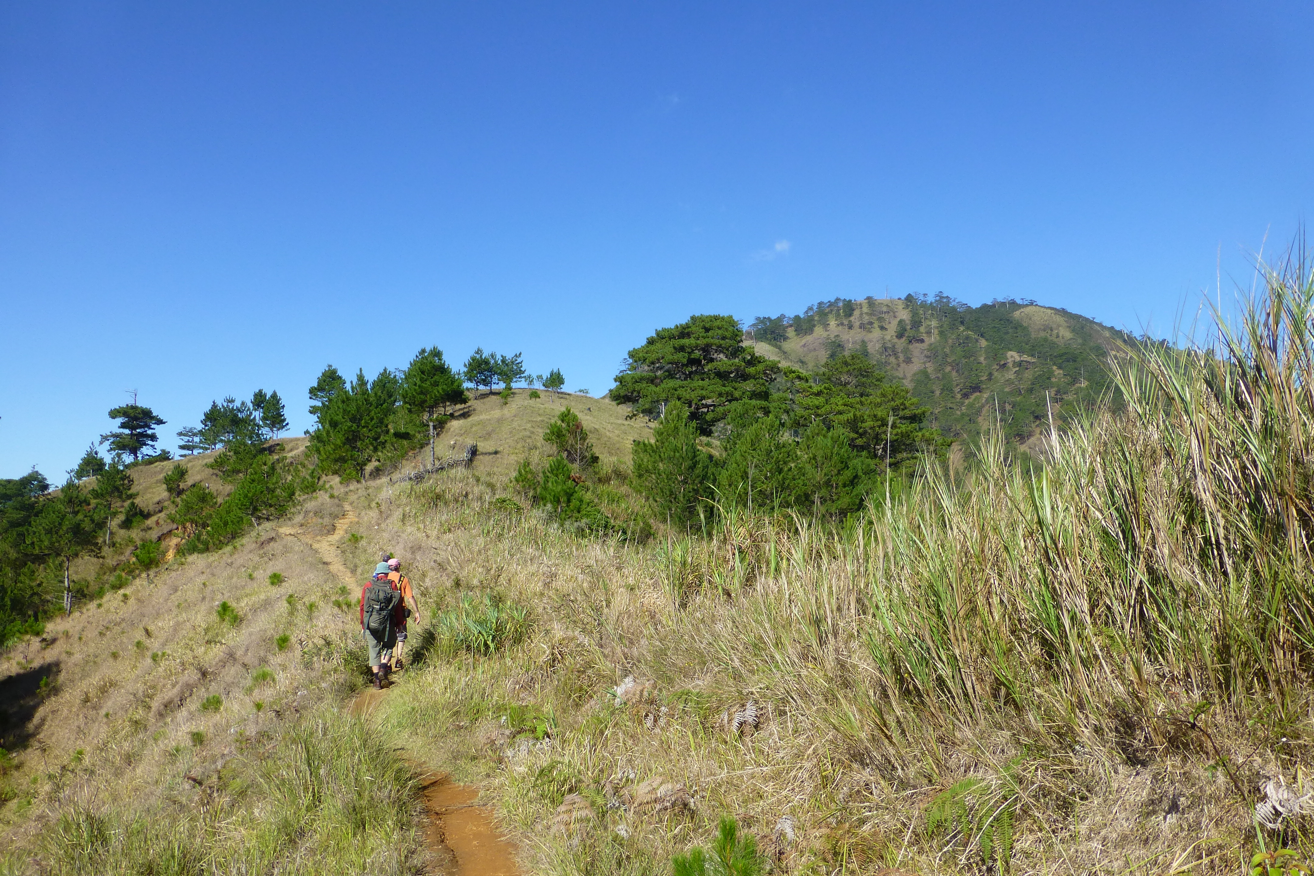
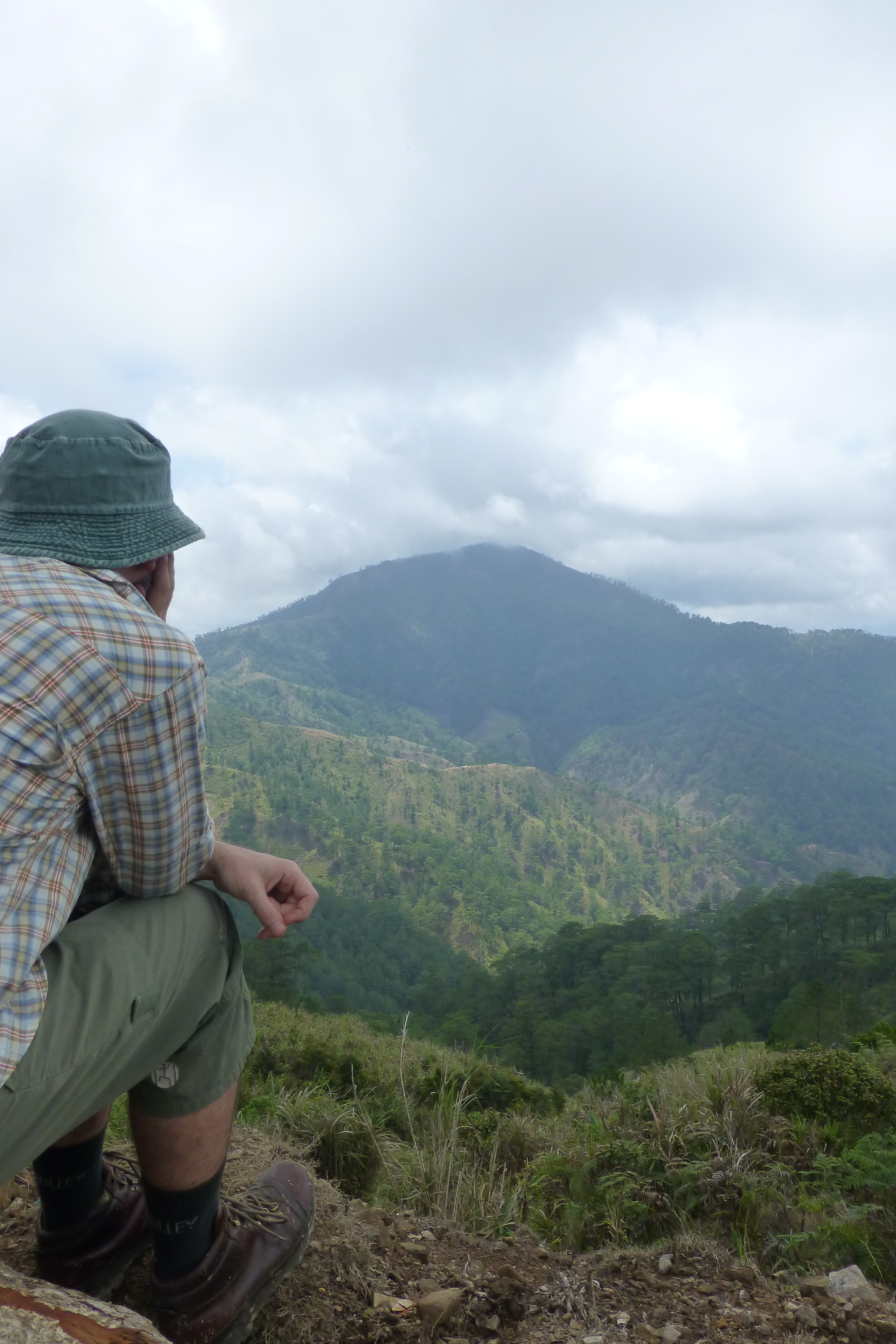
Towards Mt Ugo
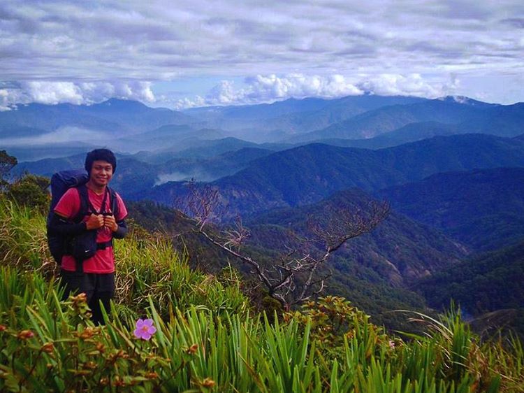
What a wonderful world... #nuevavizcaya #iphoneshot #photoftheday #picoftheday #igers #igdaily #igersoftheday #byaheniyecky #panorth #phototrip #yearenderphototrip #yecky #photogyecky
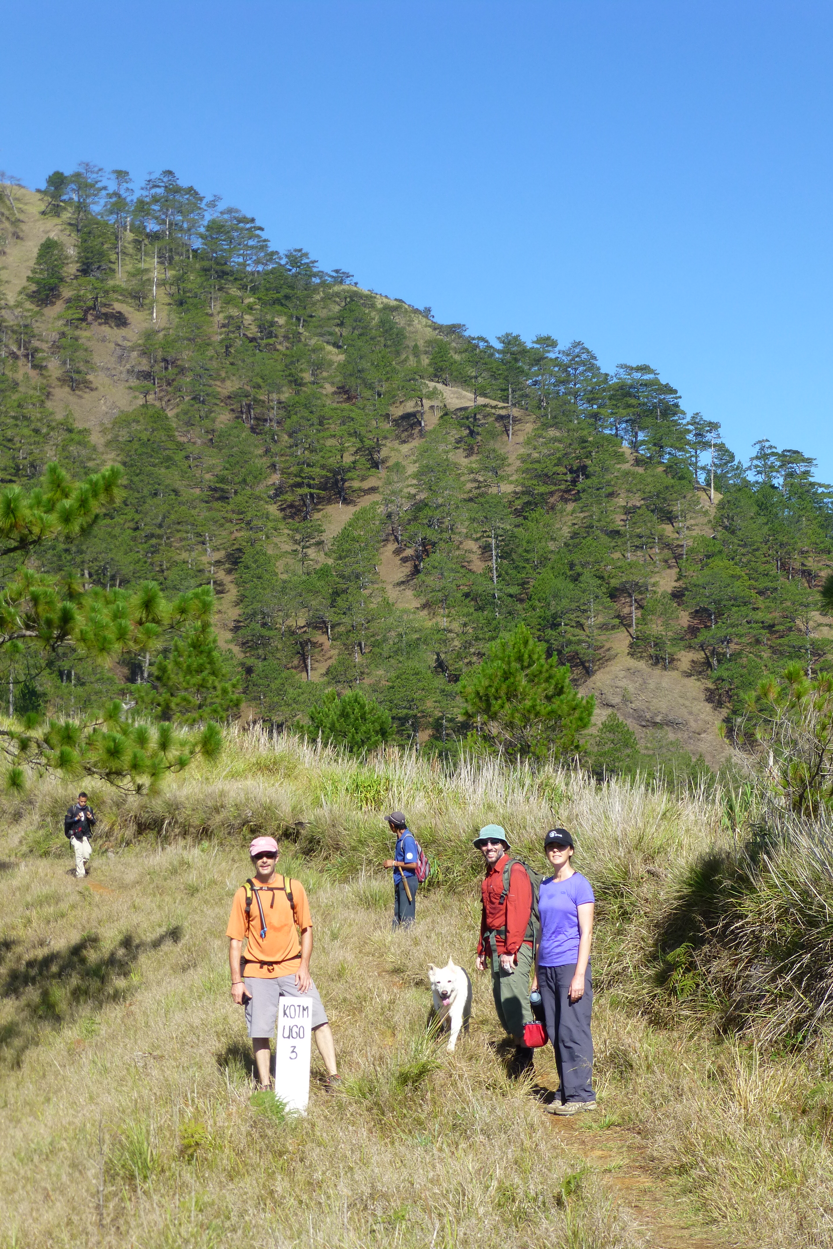
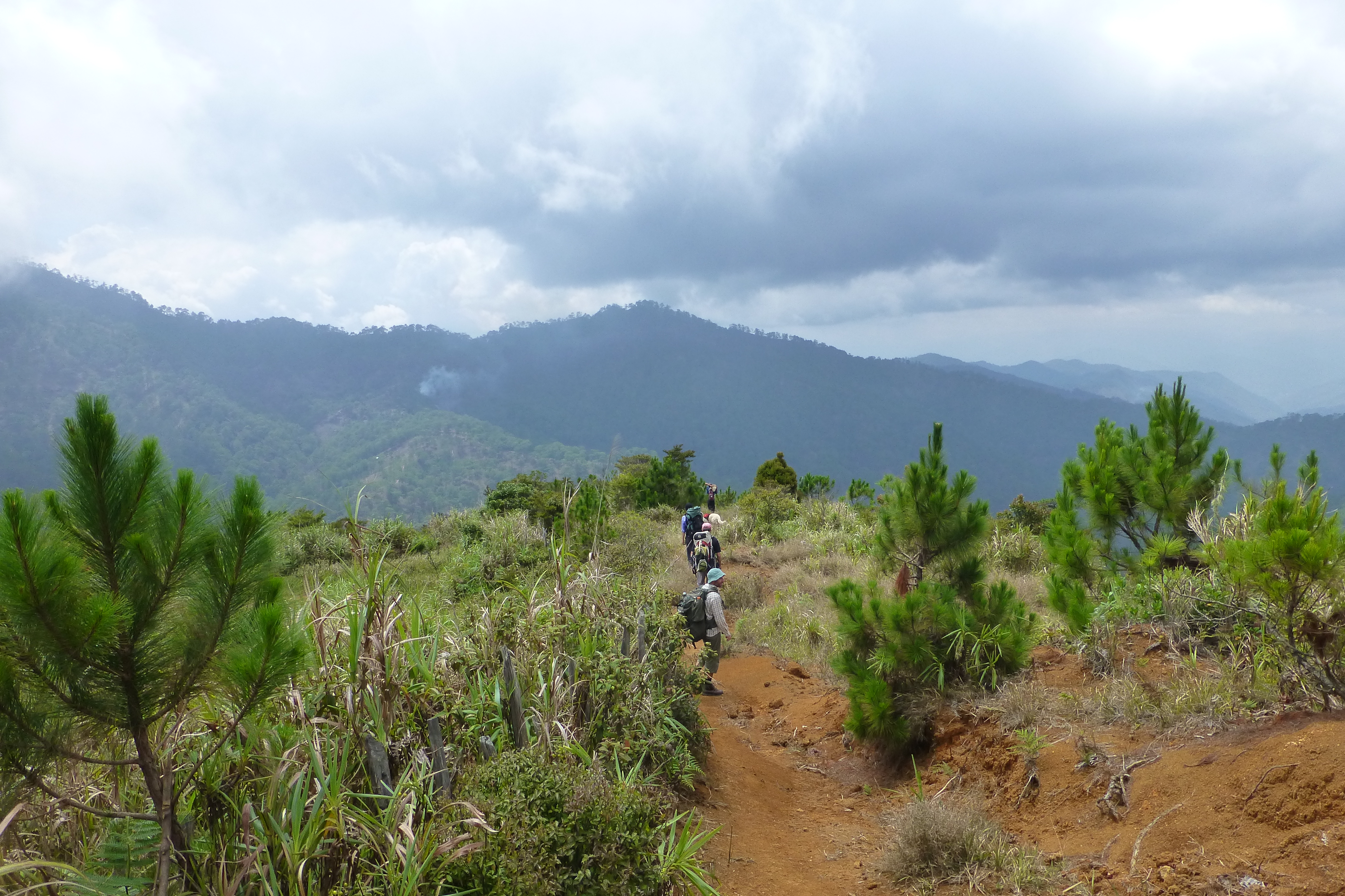
3km to go to Mt Ugo

Phlpn-3737--20190115
Phlpn-3738--20190115

GV Florida Transport F18
Philippines 2015
Philippines 2015
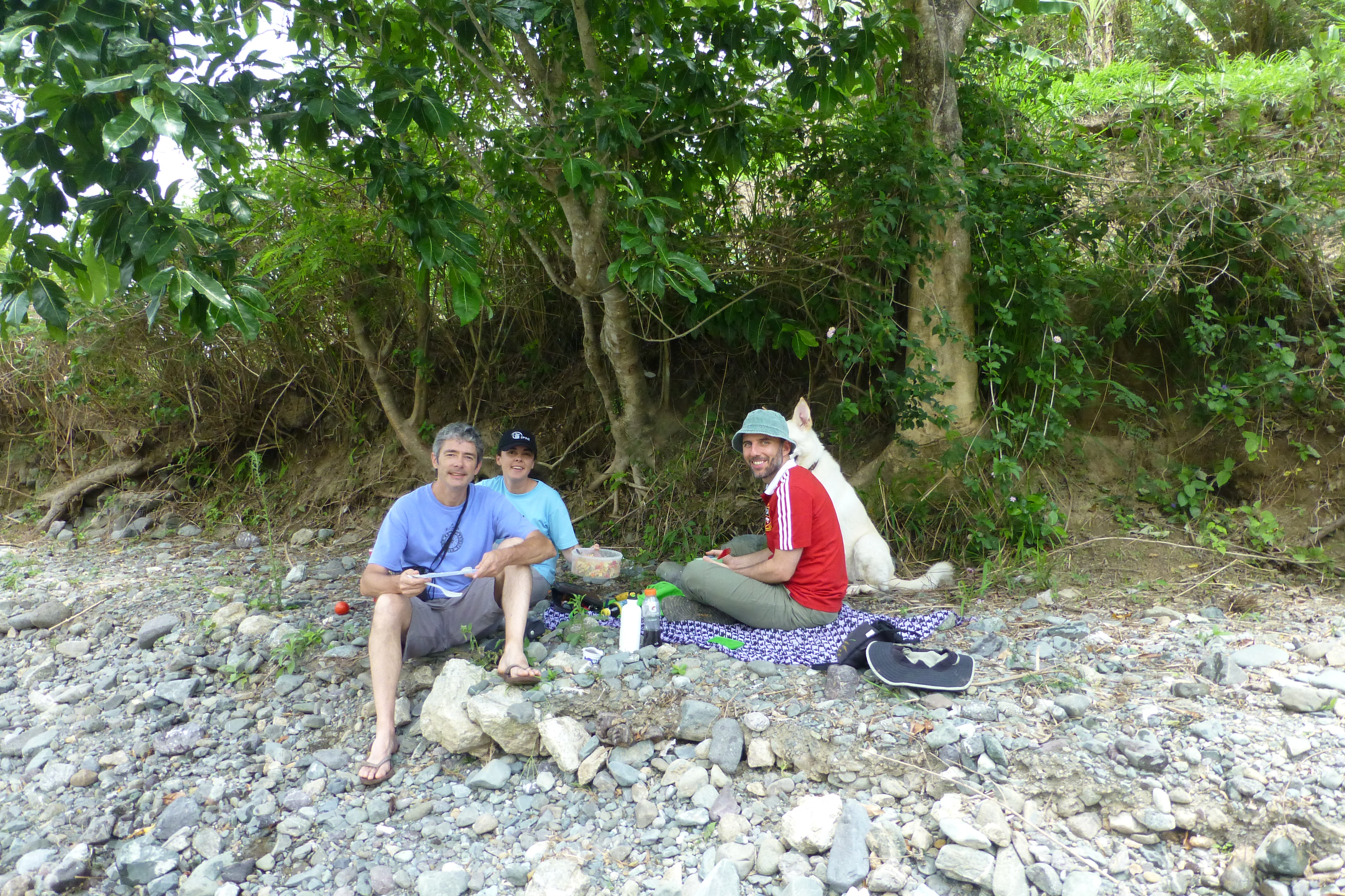
Lunch spot

Our Story Teller / Champion District Level

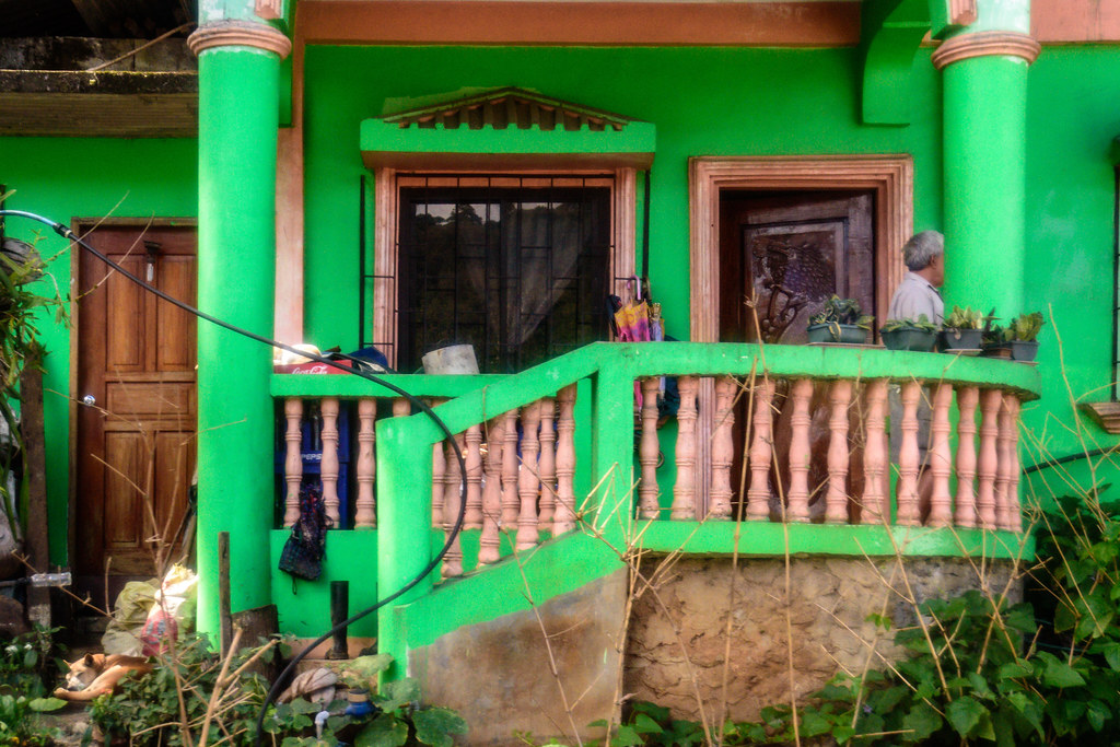
Pink Pantry in Aritao, Nueva Vizcaya
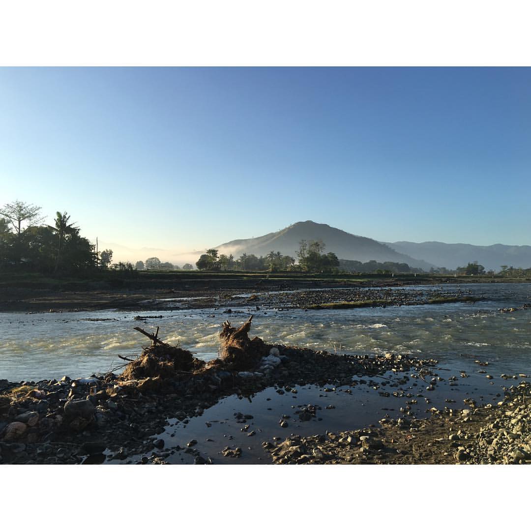
The Philippines

near crash site PAL plane 1987
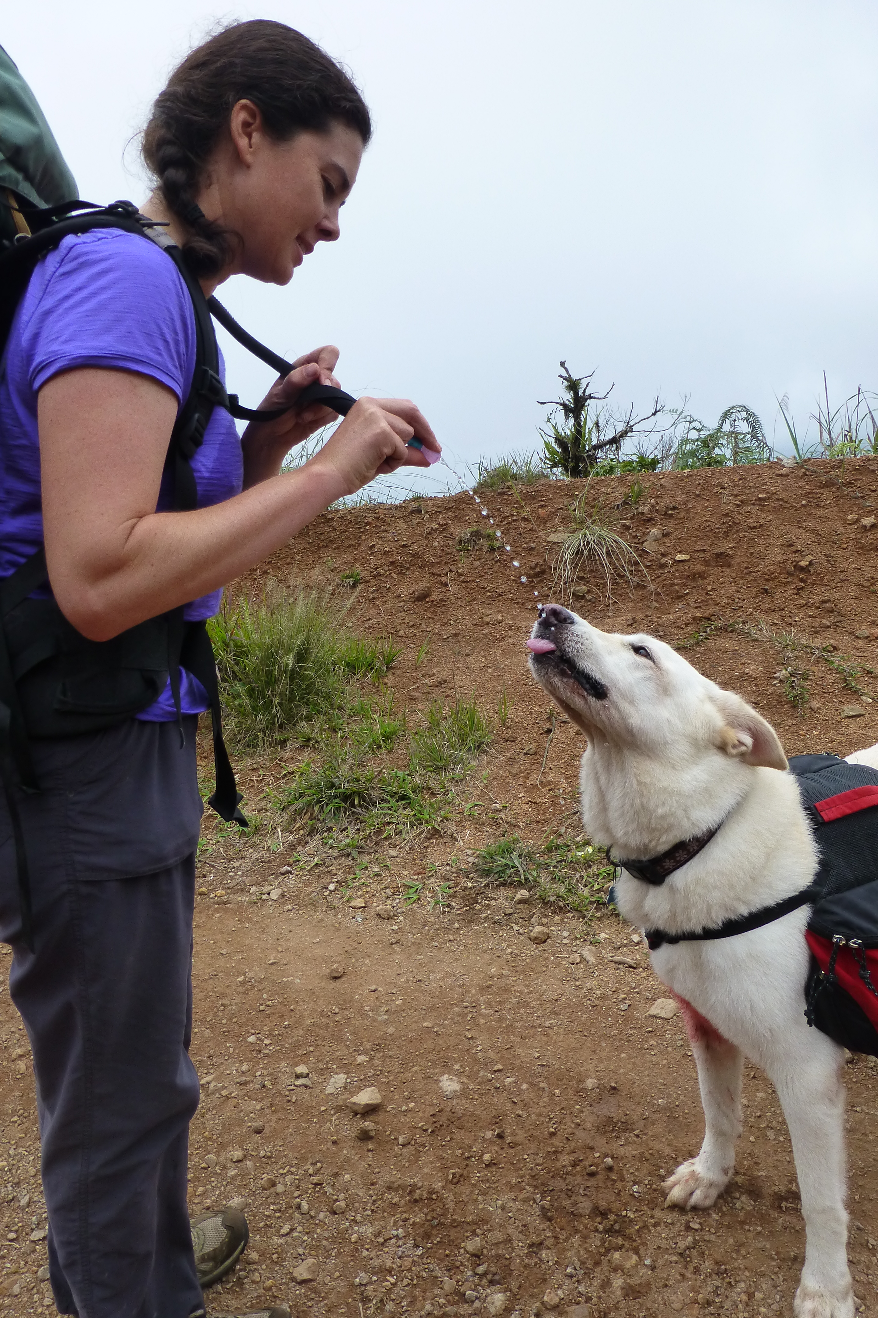
Luka being thirsty
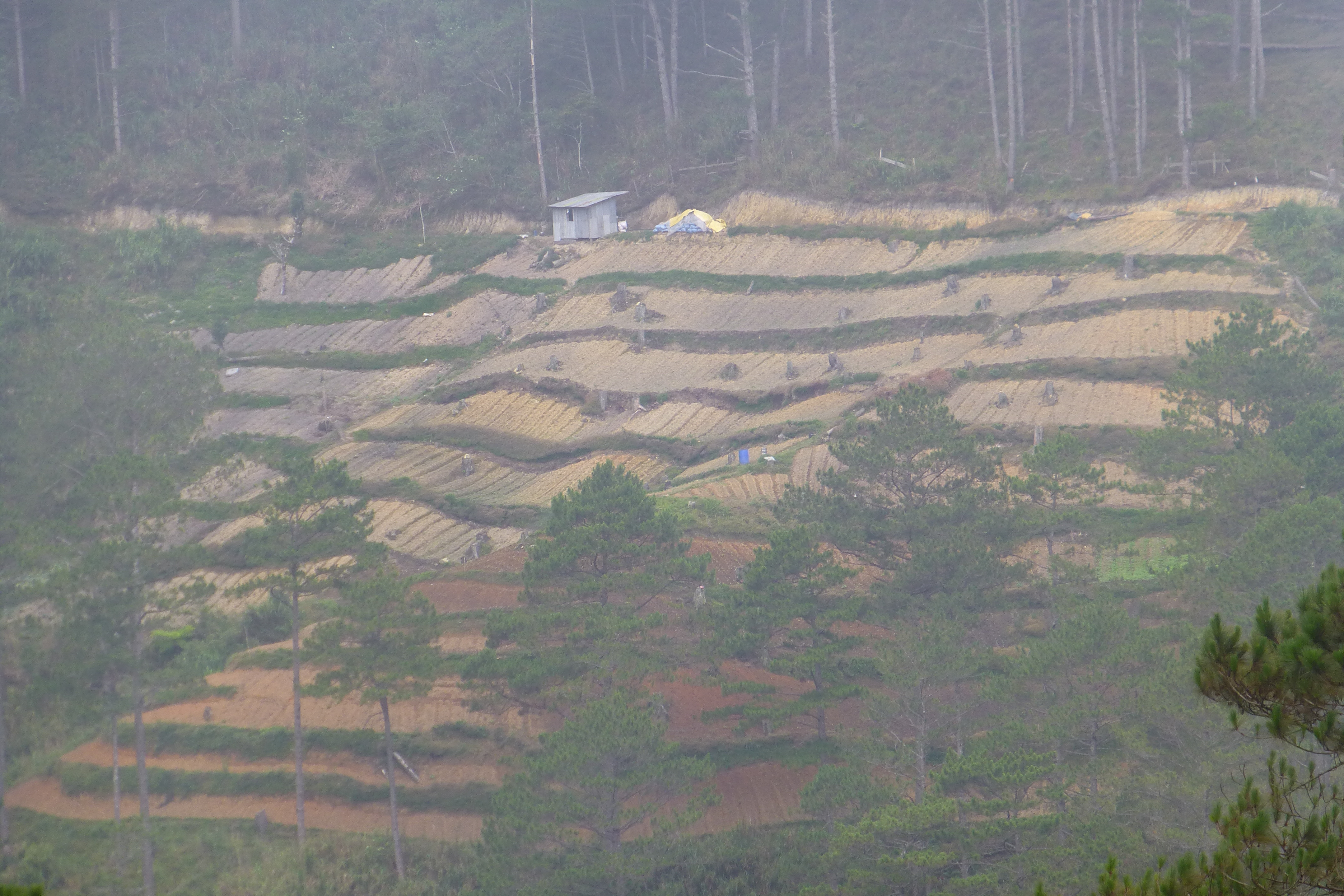
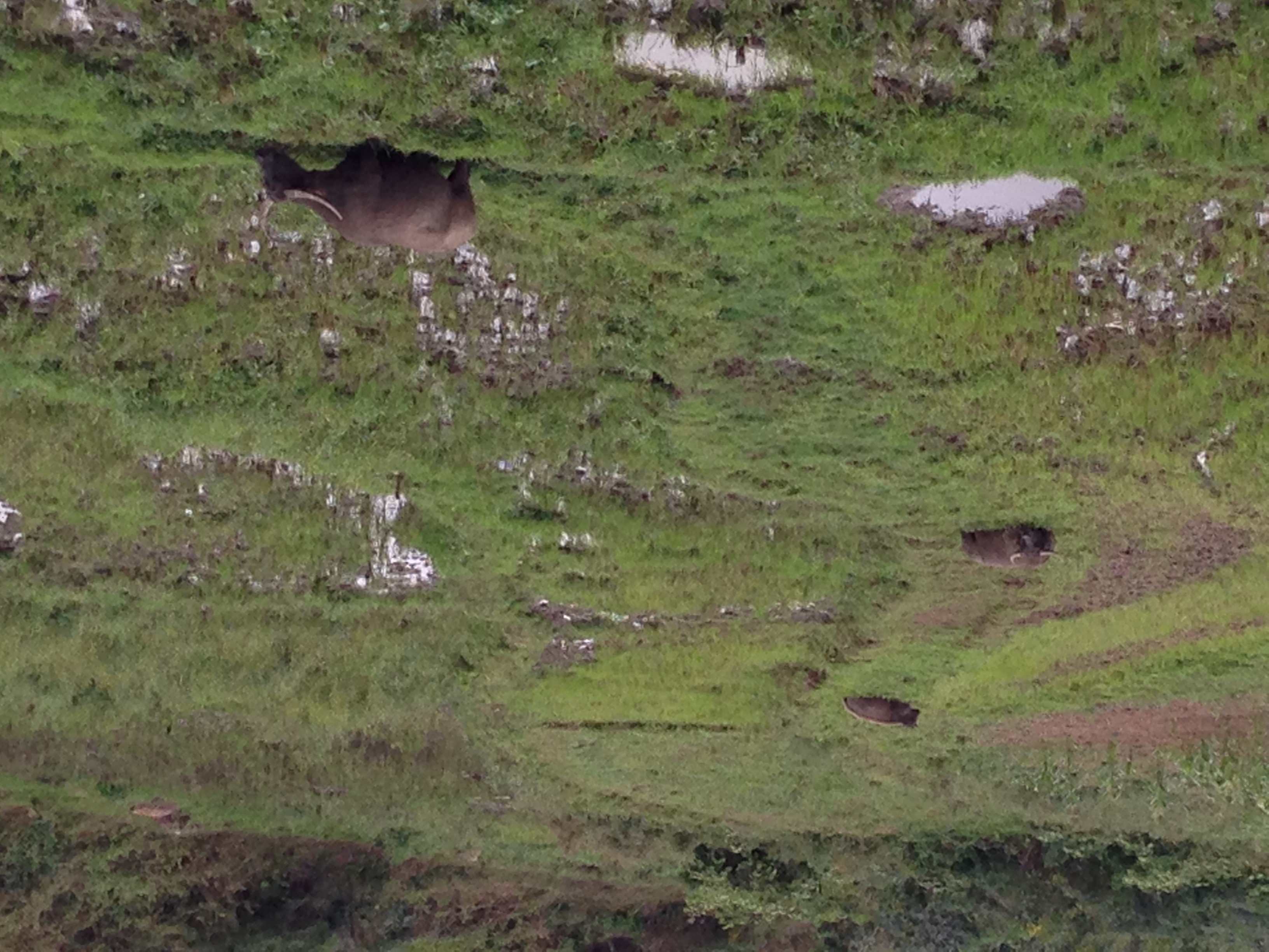
Rolling terraces
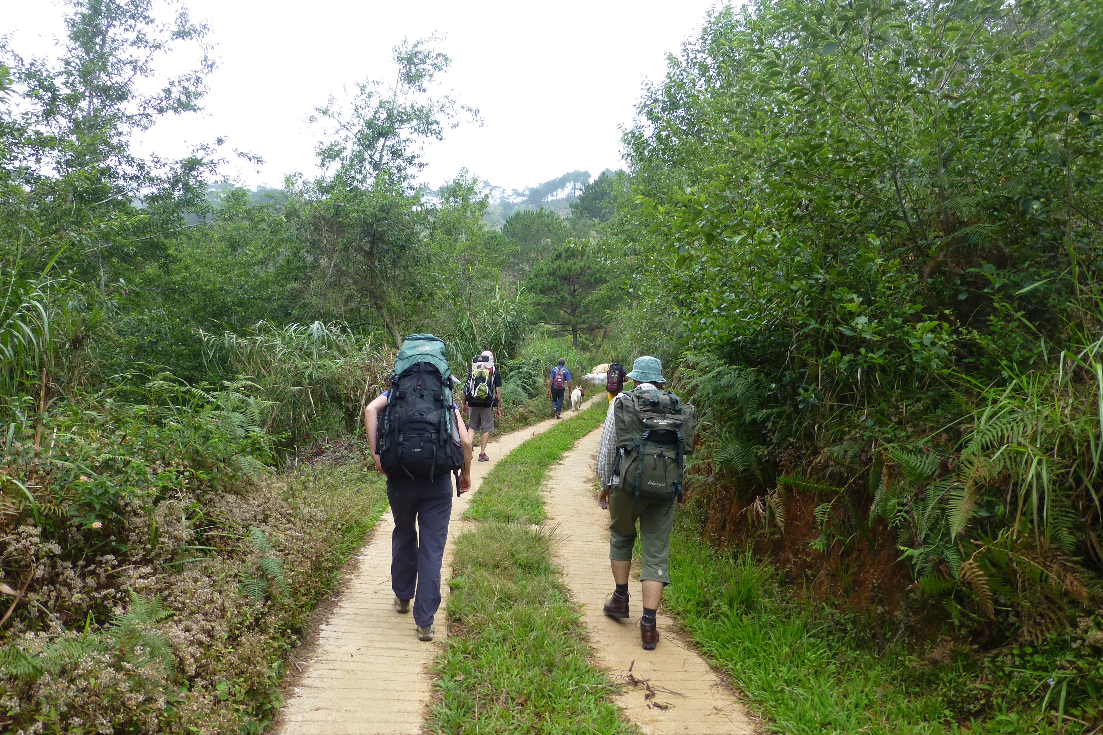
On the way to Domolpos
Topographic Map of Kayapa Proper East, Kayapa, Nueva Vizcaya, Philippines
Find elevation by address:

Places near Kayapa Proper East, Kayapa, Nueva Vizcaya, Philippines:
Amilong Labeng
Binalian Integrated School
Castillo Village
Santa Fe
Malico
Poblacion
Malico
Dalupirip
Tinongdan
Dalupirip Barangay Hall, Itogon, Benguet
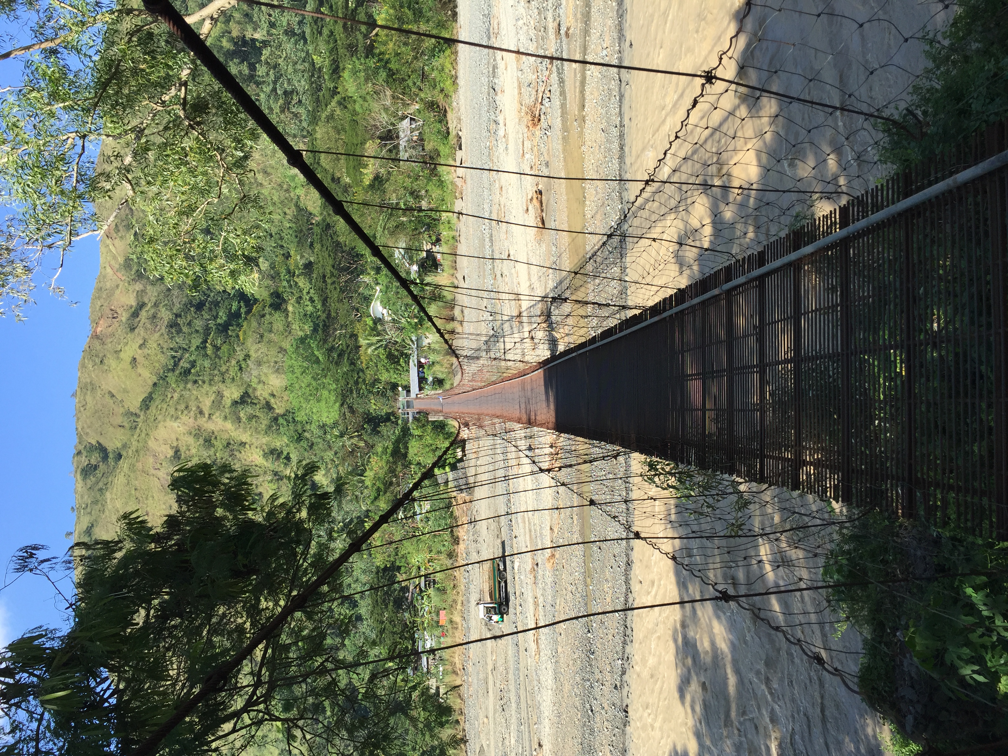
Moatong Bridge
Tinongdan Barangay Hall
Bokod
Bokod Municipal Office
Daklan Elementary School
Bangen Elementary School
San Nicolas
Itogon
Karao
Ambuklao Dam
Recent Searches:
- Elevation of Congressional Dr, Stevensville, MD, USA
- Elevation of Bellview Rd, McLean, VA, USA
- Elevation of Stage Island Rd, Chatham, MA, USA
- Elevation of Shibuya Scramble Crossing, 21 Udagawacho, Shibuya City, Tokyo -, Japan
- Elevation of Jadagoniai, Kaunas District Municipality, Lithuania
- Elevation of Pagonija rock, Kranto 7-oji g. 8"N, Kaunas, Lithuania
- Elevation of Co Rd 87, Jamestown, CO, USA
- Elevation of Tenjo, Cundinamarca, Colombia
- Elevation of Côte-des-Neiges, Montreal, QC H4A 3J6, Canada
- Elevation of Bobcat Dr, Helena, MT, USA