Elevation map of Kawich Peak, Nevada, USA
Location: United States > Nevada > Tonopah >
Longitude: -116.46116
Latitude: 37.9618814
Elevation: 2798m / 9180feet
Barometric Pressure: 72KPa
Elevation Map:
Satellite Map:
Related Photos:
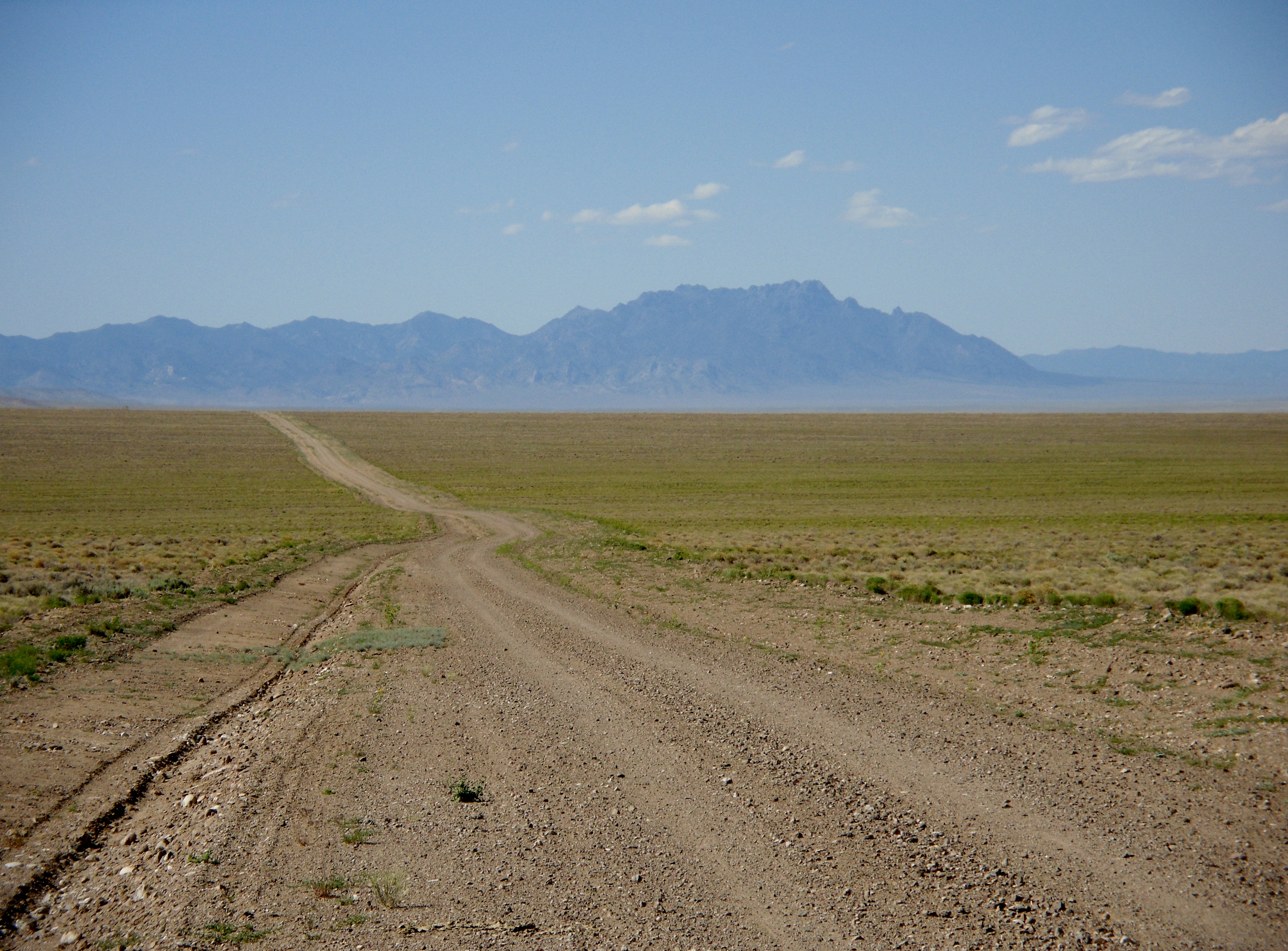
Reveille Valley heading north to Warm Springs, Nevada west of NV 375
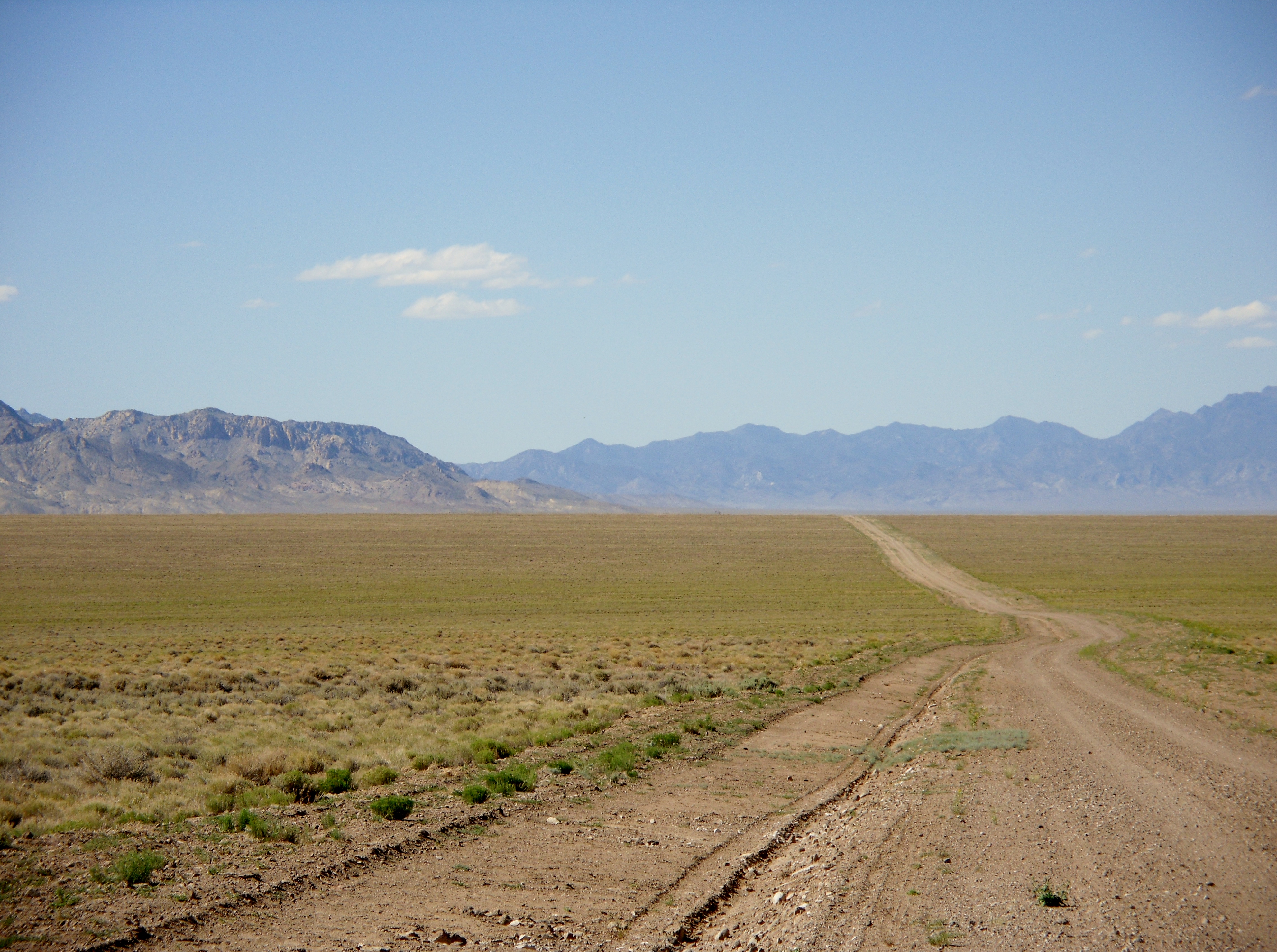
Reveille Valley heading north to Warm Springs, Nevada west of NV 375
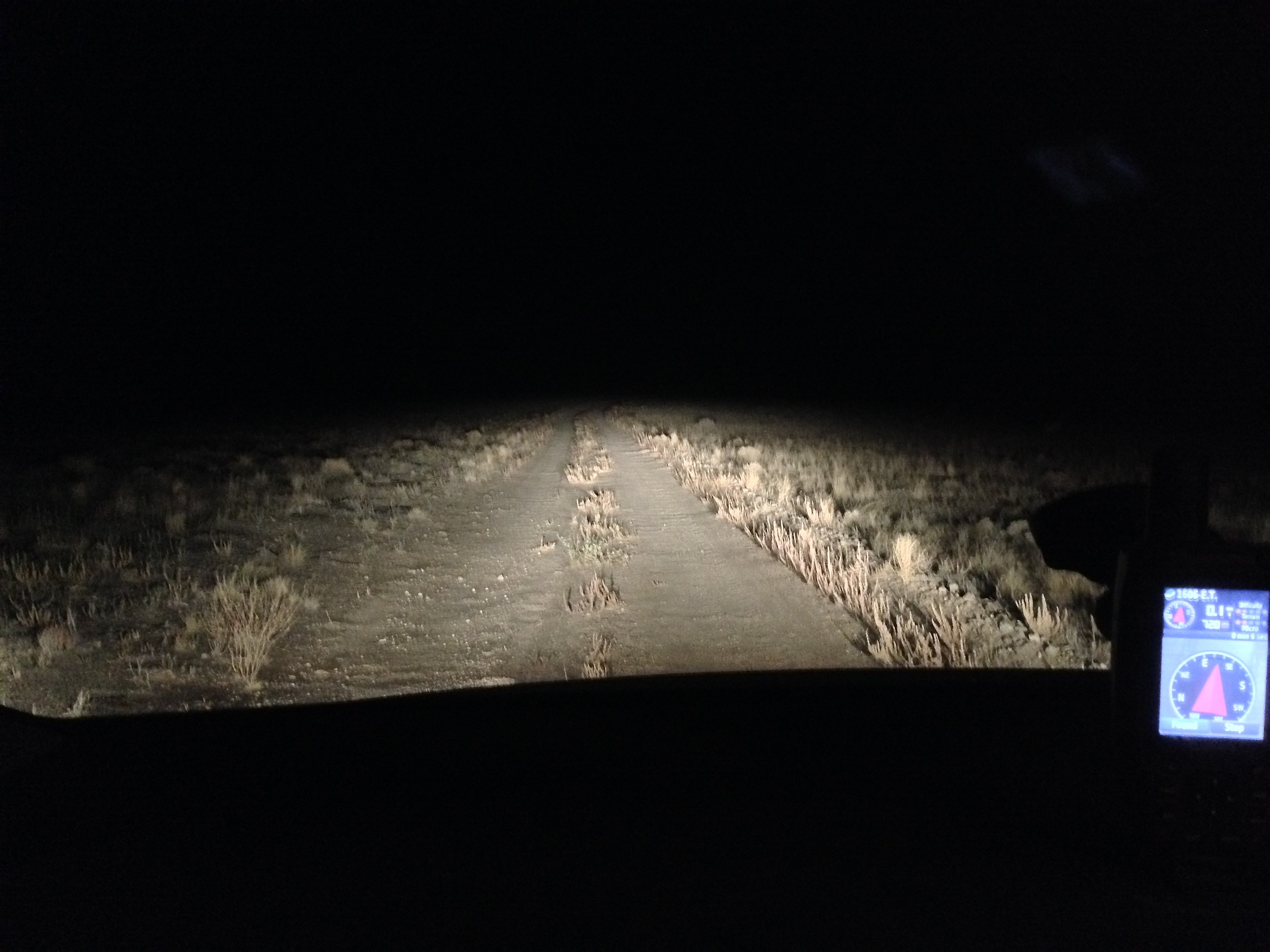
Night caching on the E.T. Highway
Topographic Map of Kawich Peak, Nevada, USA
Find elevation by address:

Places near Kawich Peak, Nevada, USA:
Belted Peak
Belted Range Hp
Wheelbarrow Peak
Chalk Mountain
Rainier Mesa
Worthington Peak
Pahute Mesa Airstrip
Meeker Peak
Bald Mountain
Groom Lake
Homey Airport
Area 51
Yucca Mountain
Amargosa Valley
Area 51 Alien Center
Mercury
1871 Farm Rd
Creech Air Force Base
Indian Springs
Recent Searches:
- Elevation of Corso Fratelli Cairoli, 35, Macerata MC, Italy
- Elevation of Tallevast Rd, Sarasota, FL, USA
- Elevation of 4th St E, Sonoma, CA, USA
- Elevation of Black Hollow Rd, Pennsdale, PA, USA
- Elevation of Oakland Ave, Williamsport, PA, USA
- Elevation of Pedrógão Grande, Portugal
- Elevation of Klee Dr, Martinsburg, WV, USA
- Elevation of Via Roma, Pieranica CR, Italy
- Elevation of Tavkvetili Mountain, Georgia
- Elevation of Hartfords Bluff Cir, Mt Pleasant, SC, USA