Elevation map of Belted Peak, Nevada, USA
Location: United States > Pahrump >
Longitude: -116.07643
Latitude: 37.5691137
Elevation: 2441m / 8009feet
Barometric Pressure: 75KPa
Elevation Map:
Satellite Map:
Related Photos:
IMG_0411.jpg

Ethan Hsu

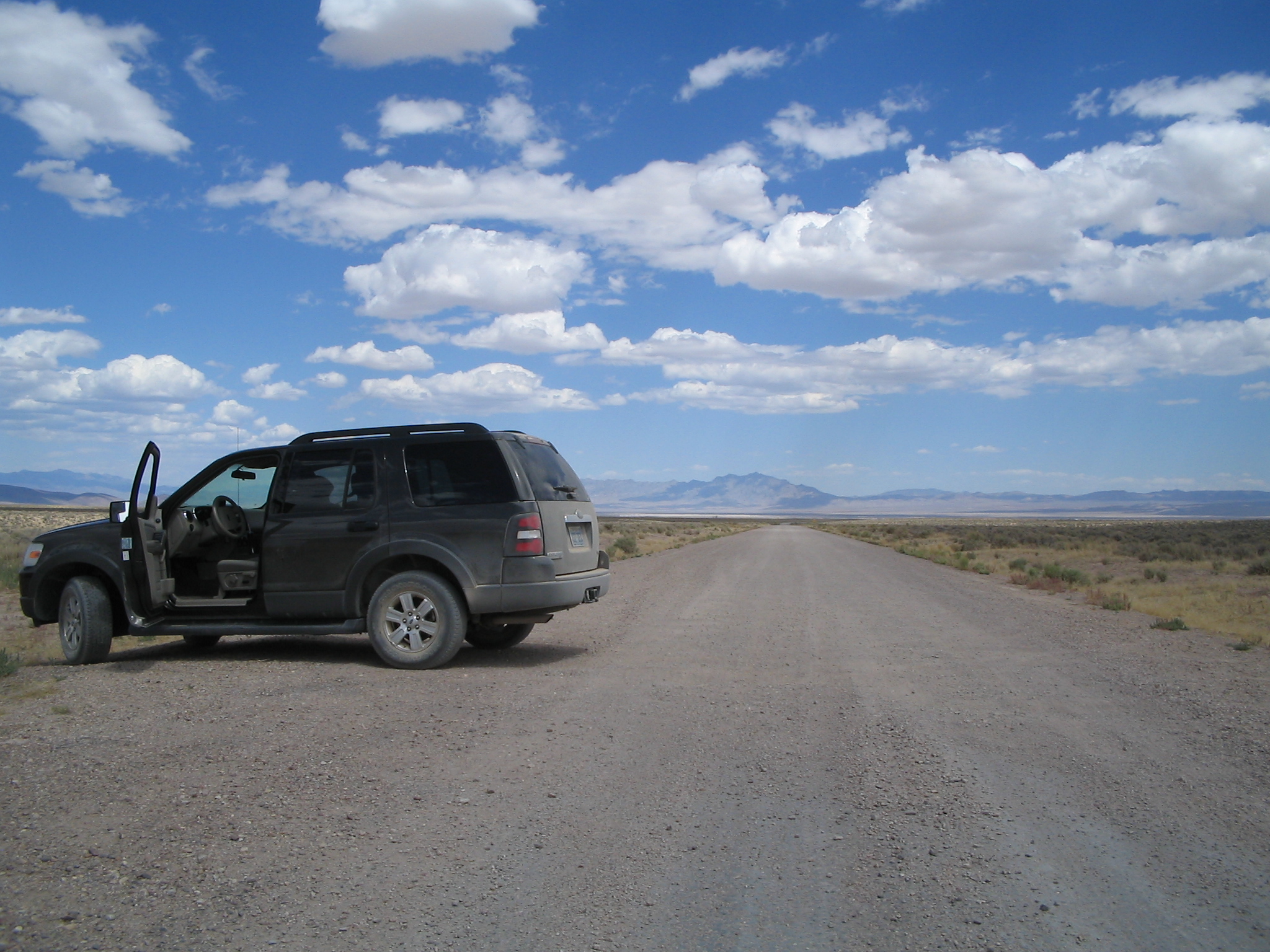
Approaching dreamland
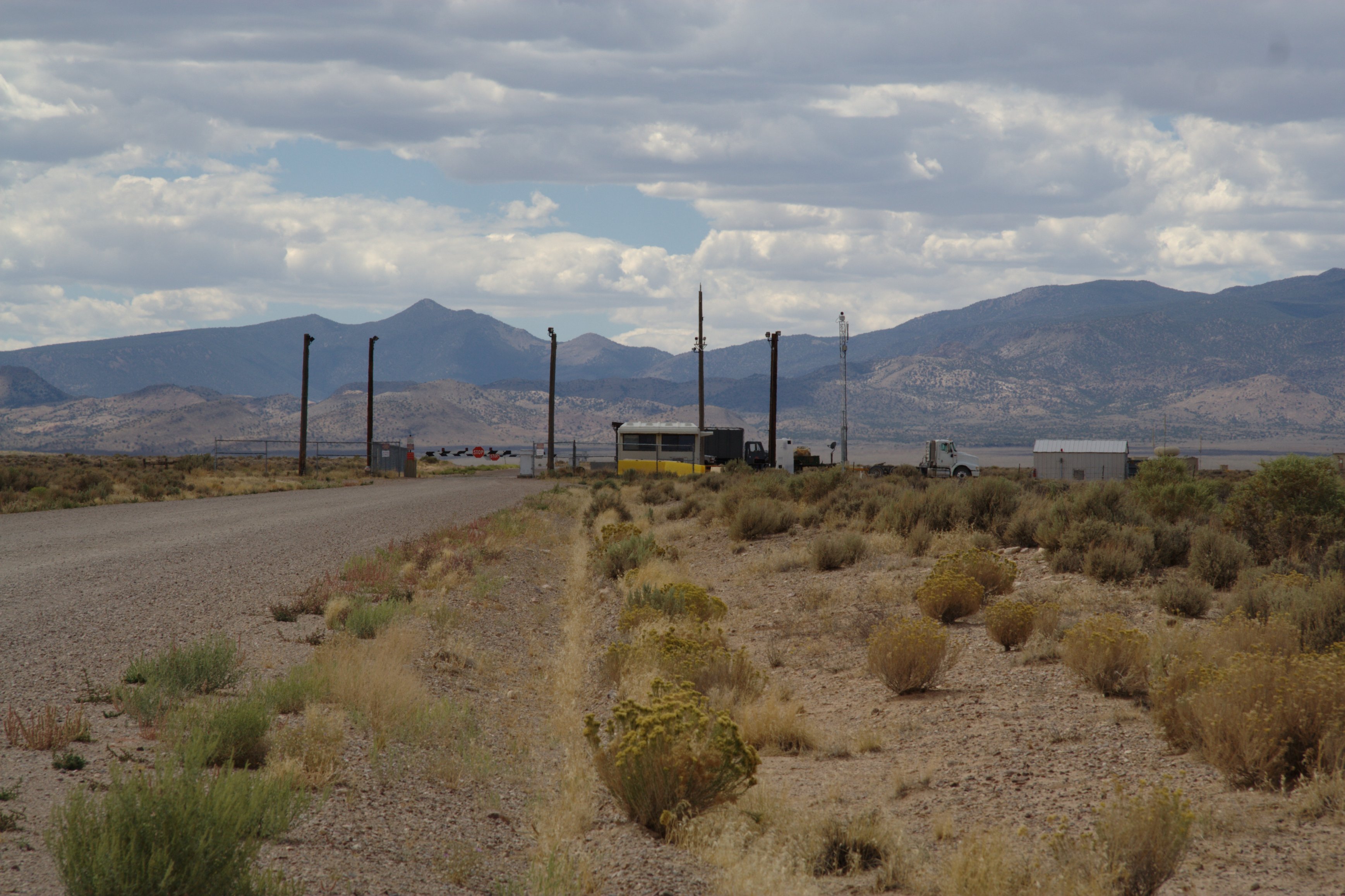
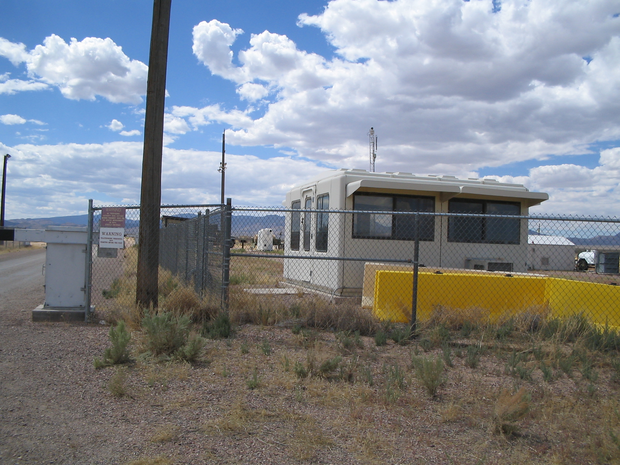
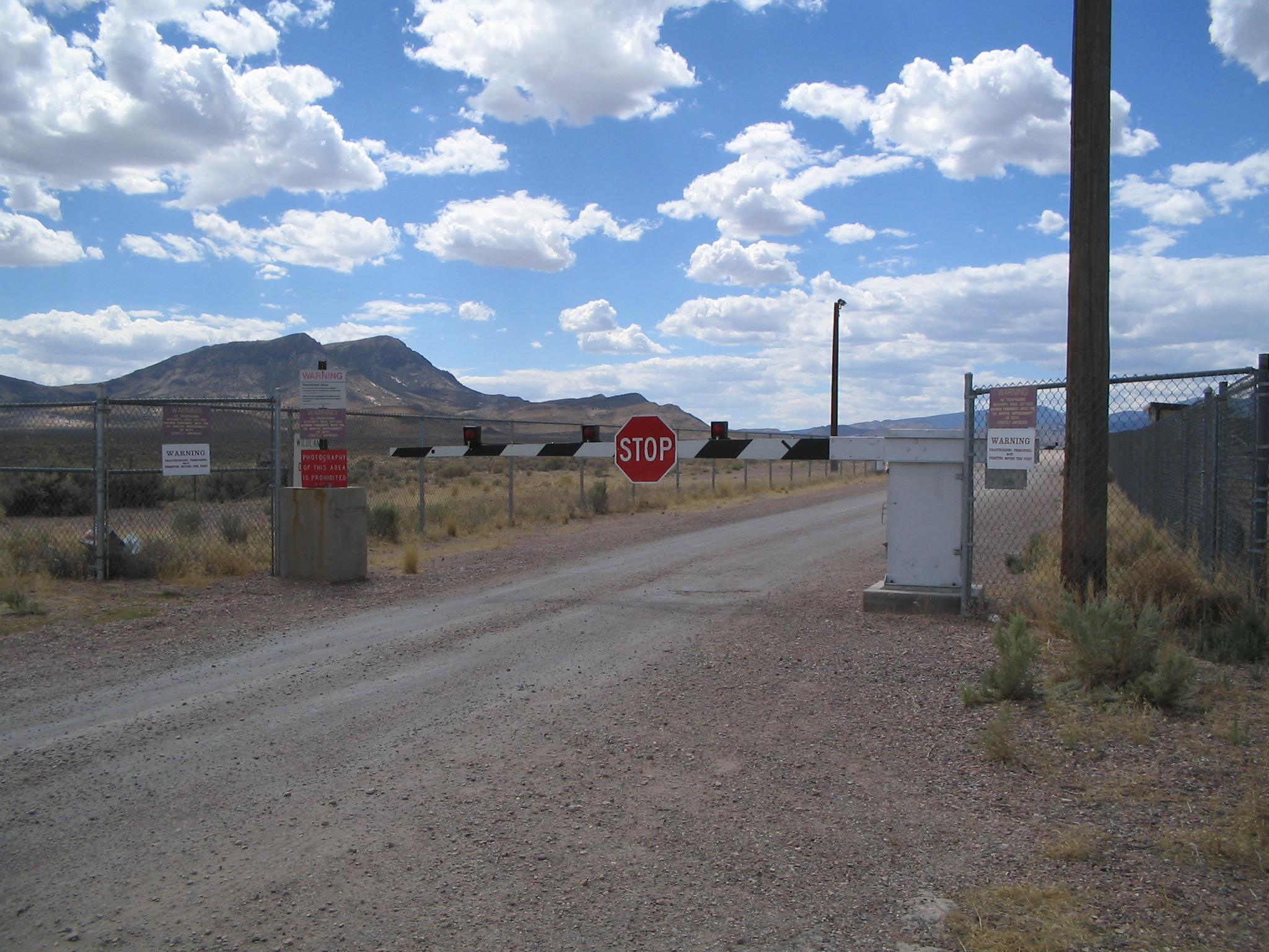
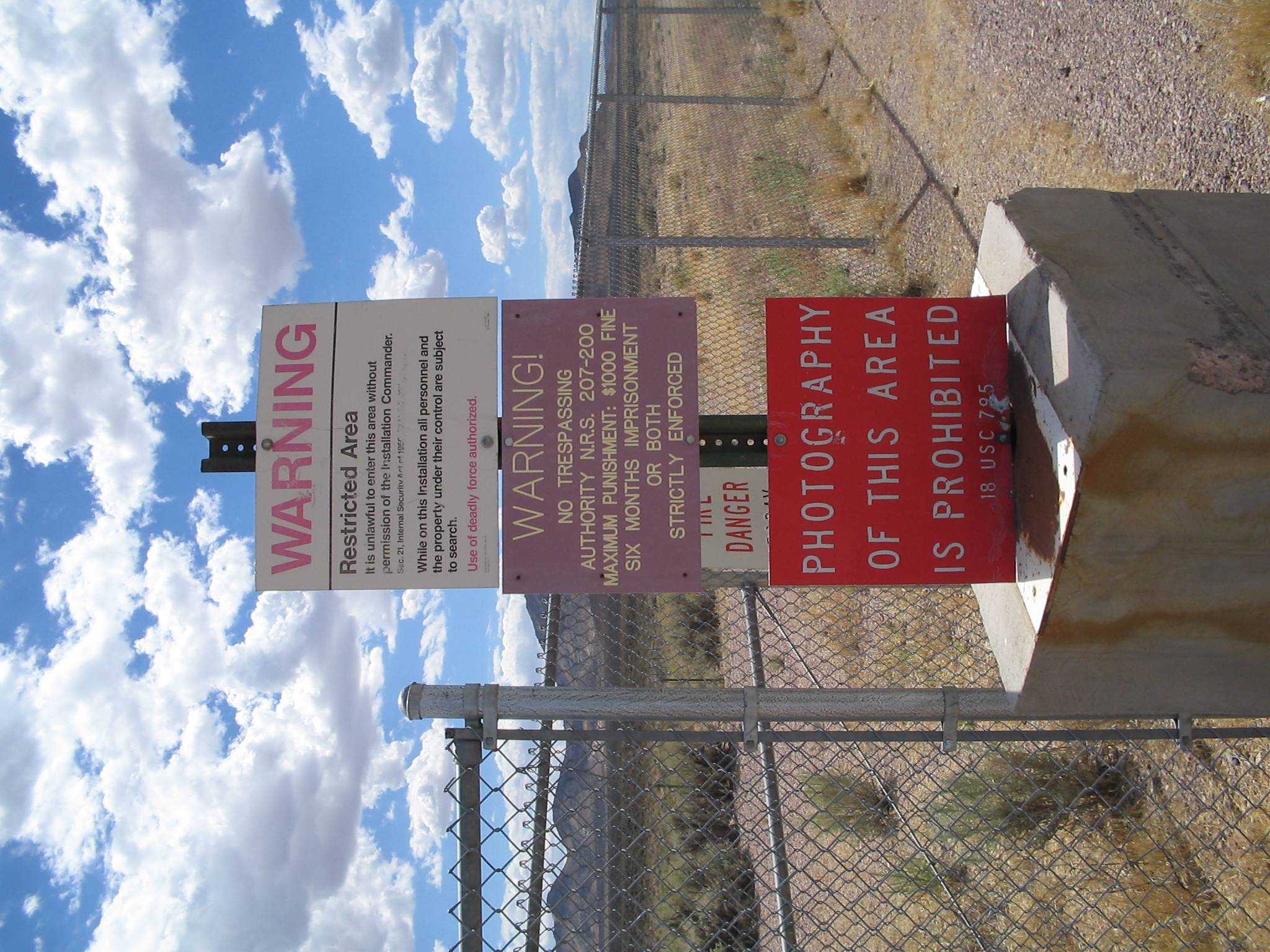
Back gate | Area 51

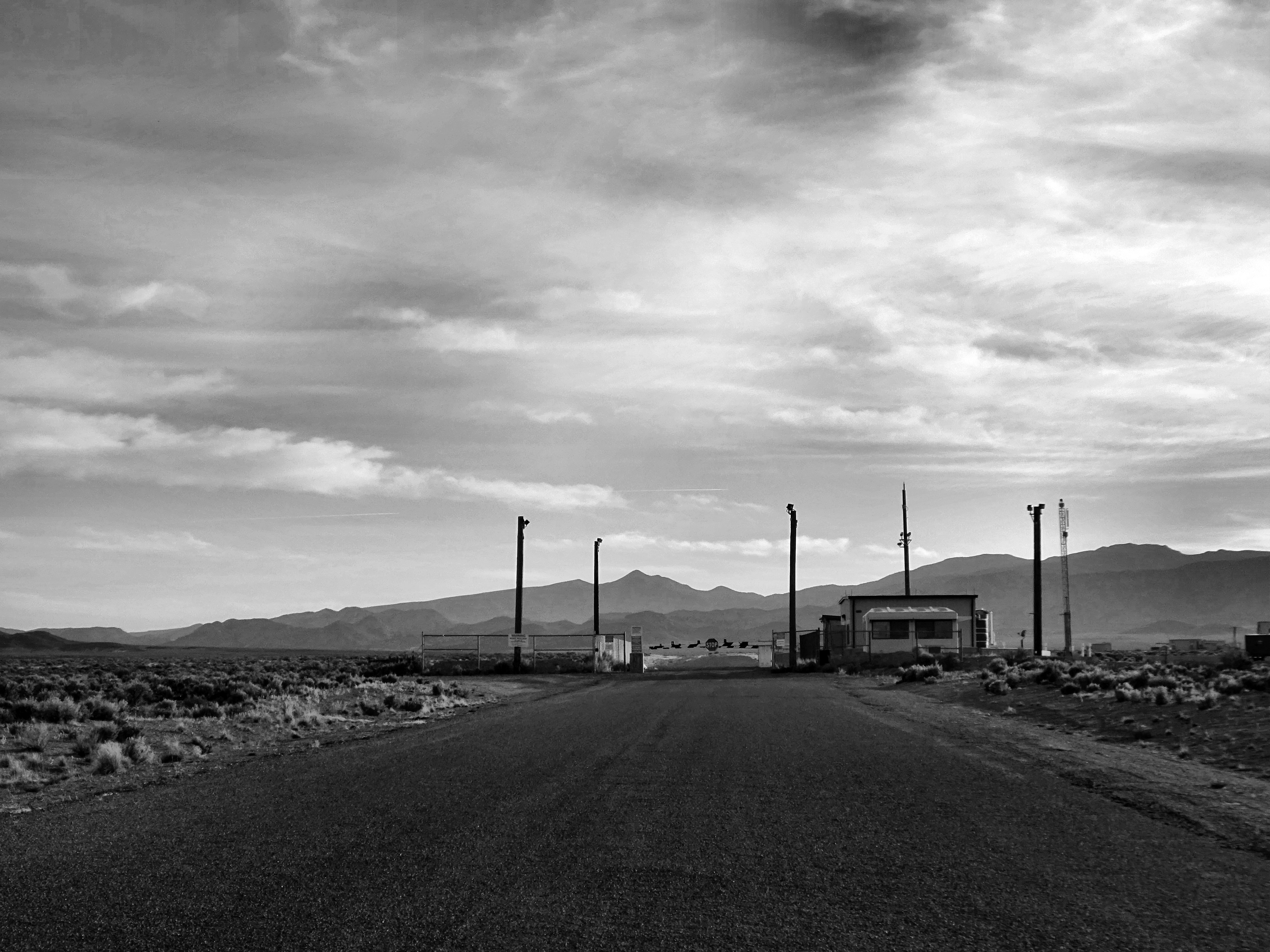
Rachel, Nevada

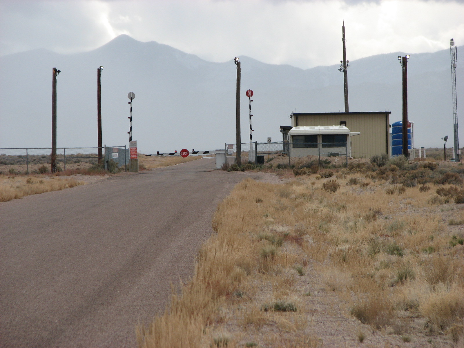
Rachel, Nevada
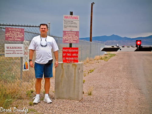
Rachel, Nevada

photo.JPG
DSCF0661-Edit-Edit-2.jpg
IMG_1285.JPG
IMG_1284.JPG
IMG_1283.JPG
IMG_1282.JPG
Topographic Map of Belted Peak, Nevada, USA
Find elevation by address:

Places near Belted Peak, Nevada, USA:
Belted Range Hp
Wheelbarrow Peak
Chalk Mountain
Bald Mountain
Rainier Mesa
Groom Lake
Homey Airport
Area 51
Pahute Mesa Airstrip
Meeker Peak
Kawich Peak
Worthington Peak
Yucca Mountain
Mercury
Area 51 Alien Center
Amargosa Valley
1871 Farm Rd
Creech Air Force Base
Indian Springs
Recent Searches:
- Elevation of Corso Fratelli Cairoli, 35, Macerata MC, Italy
- Elevation of Tallevast Rd, Sarasota, FL, USA
- Elevation of 4th St E, Sonoma, CA, USA
- Elevation of Black Hollow Rd, Pennsdale, PA, USA
- Elevation of Oakland Ave, Williamsport, PA, USA
- Elevation of Pedrógão Grande, Portugal
- Elevation of Klee Dr, Martinsburg, WV, USA
- Elevation of Via Roma, Pieranica CR, Italy
- Elevation of Tavkvetili Mountain, Georgia
- Elevation of Hartfords Bluff Cir, Mt Pleasant, SC, USA