Elevation of Kavakçalı, Ula/Muğla, Turkey
Location: Turkey > Muğla Province > Ula >
Longitude: 28.6381471
Latitude: 37.11425
Elevation: 530m / 1739feet
Barometric Pressure: 95KPa
Elevation Map:
Satellite Map:
Related Photos:

Onychogomphus forcipatus

Onychogomphus forcipatus

Toparlar waterfall pool
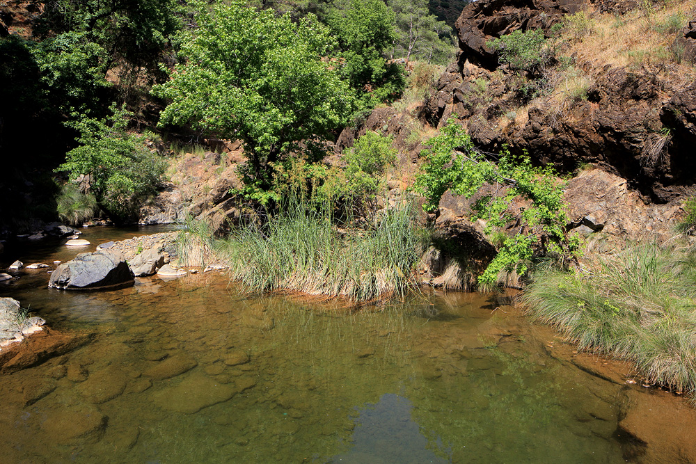
Toparlar waterfall pool
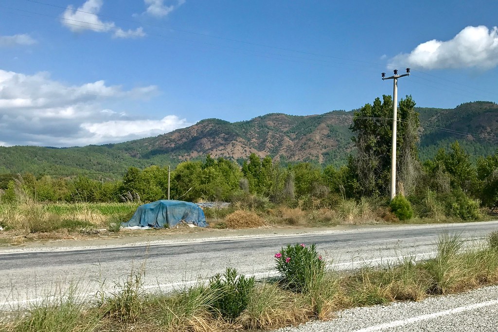
Blue tarp in landscape
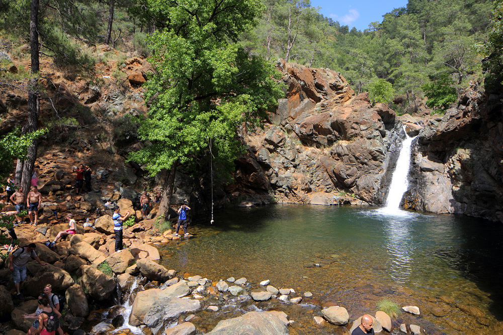
Toparlar waterfall

Toparlar waterfall

Toparlar waterfall

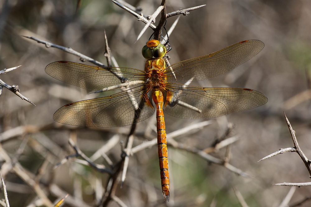
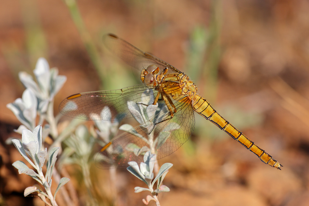
Sympetrum striolatum

Taxi ride to Dalaman
Aeshna isoceles
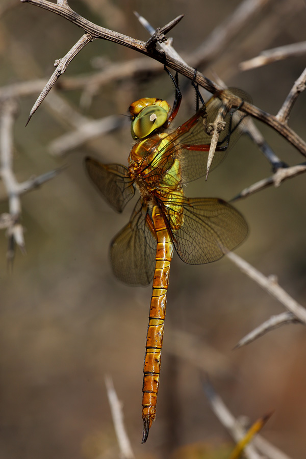
Aeshna isoceles

Orthetrum coerulescens

Onychogomphus forcipatus

Libellula fulva

Aeshna isoceles

Orthetrum coerulescens

Stenopogon sp

Libellula fulva

Libellula fulva
Orthetrum coerulescens

Orthetrum coerulescens

Choerades sp

Vanessa cardui

Robberfly with true bug

Orthetrum coerulescens

Orthetrum chrysostigma

Orthetrum chrysostigma
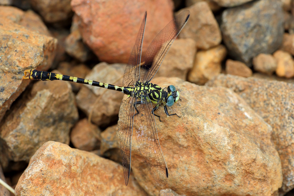
Onychogomphus forcipatus
Topographic Map of Kavakçalı, Ula/Muğla, Turkey
Find elevation by address:

Places in Kavakçalı, Ula/Muğla, Turkey:
Places near Kavakçalı, Ula/Muğla, Turkey:
Kavakçalı
Arıcılar
Arıcılar
Balcılar
Turgut
Balcılar
Turgut
Yaylasöğüt
Kıyra
Yaylasöğüt
Kıra
Namnam Kasrı
Gölcük
Gölcük
Armutçuk
Armutcuk
Karabörtlen
Köyceğiz
Köyceğiz Yayla Köyü Ağla Mesire Yeri
Çiçekli
Recent Searches:
- Elevation of Općina Šodolovci, Croatia
- Elevation of Šodolovci, Croatia
- Elevation of Old Clairton Rd, Jefferson Hills, PA, USA
- Elevation of st Ave SE, Lisbon, ND, USA
- Elevation of Steamboat Island Road Northwest, Olympia, WA, USA
- Elevation of Kootenai Trail Rd, Bonners Ferry, ID, USA
- Elevation of Hickory Blvd, Bonita Springs, FL, USA
- Elevation of Lalagbene, Bayelsa, Nigeria
- Elevation of Ogbosuware Health Centre, 2WWJ+4PJ, Lalagbene, Bayelsa, Nigeria
- Elevation of Duckhorn Ct, Las Vegas, NV, USA