Elevation of Kavakçalı, Ula/Muğla, Turkey
Location: Turkey > Muğla Province > Ula > Kavakçalı >
Longitude: 28.63697
Latitude: 37.102561
Elevation: 428m / 1404feet
Barometric Pressure: 96KPa
Elevation Map:
Satellite Map:
Related Photos:

Onychogomphus forcipatus

Onychogomphus forcipatus

Toparlar waterfall pool
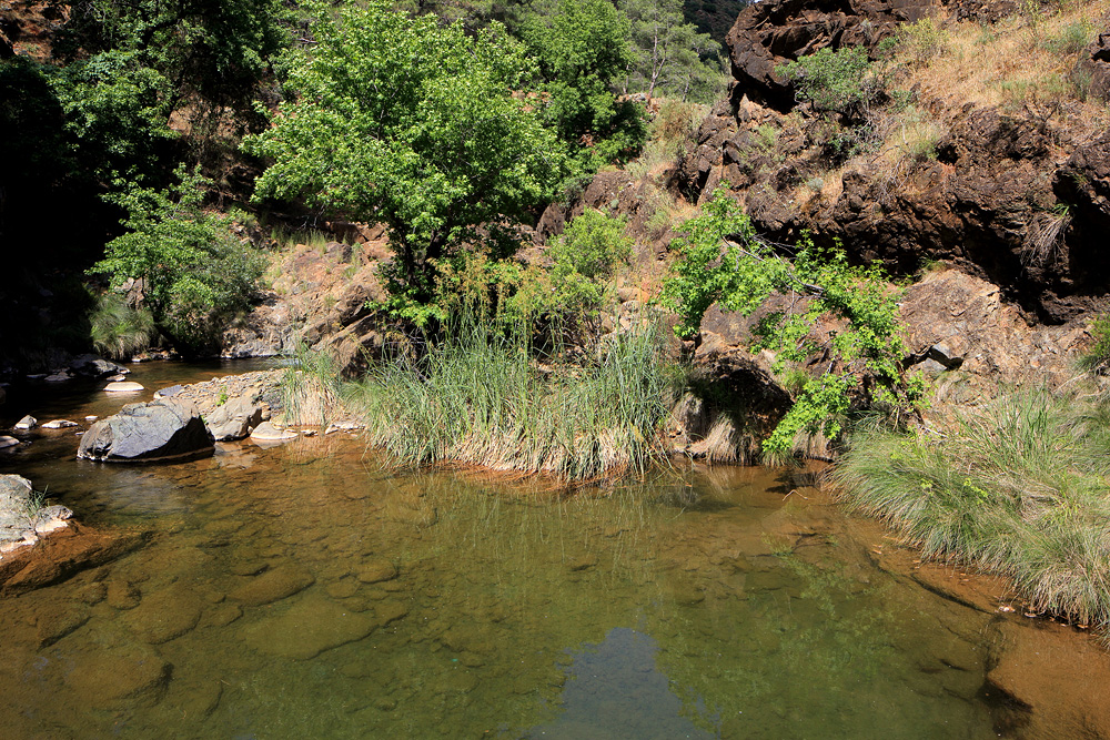
Toparlar waterfall pool
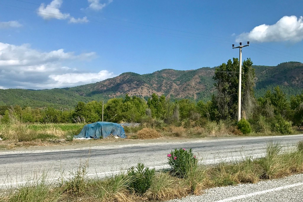
Blue tarp in landscape
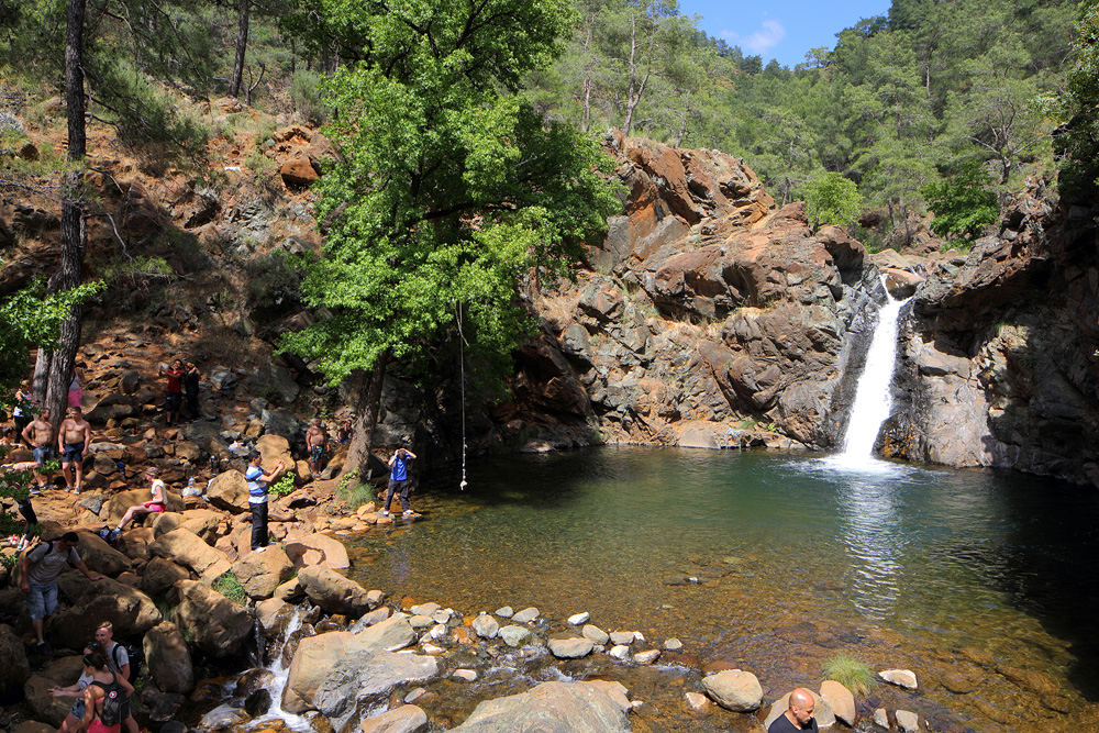
Toparlar waterfall

Toparlar waterfall

Toparlar waterfall

Sympetrum striolatum

Turkey-20131101-00613(iPhone 5)
Topographic Map of Kavakçalı, Ula/Muğla, Turkey
Find elevation by address:

Places near Kavakçalı, Ula/Muğla, Turkey:
Kavakçalı
Arıcılar
Balcılar
Arıcılar
Balcılar
Turgut
Turgut
Yaylasöğüt
Kıyra
Namnam Kasrı
Kıra
Yaylasöğüt
Gölcük
Gölcük
Karabörtlen
Köyceğiz
Armutçuk
Armutcuk
Köyceğiz Yayla Köyü Ağla Mesire Yeri
Çiçekli
Recent Searches:
- Elevation of 15 Victory Ave, Greenville, SC, USA
- Elevation of Kota Ternate Utara, Ternate City, North Maluku, Indonesia
- Elevation of Allon St, Oceanside, NY, USA
- Elevation of Carroll Creek Rd, Custer, SD, USA
- Elevation of Lust Road, Lust Rd, Florida, USA
- Elevation of Pleasant Valley Rd NW, Adairsville, GA, USA
- Elevation of Općina Šodolovci, Croatia
- Elevation of Šodolovci, Croatia
- Elevation of Old Clairton Rd, Jefferson Hills, PA, USA
- Elevation of st Ave SE, Lisbon, ND, USA