Elevation of Katipunan, Zamboanga del Norte, Philippines
Location: Philippines > Zamboanga Peninsula > Zamboanga Del Norte >
Longitude: 123.281256
Latitude: 8.3968825
Elevation: 212m / 696feet
Barometric Pressure: 99KPa
Elevation Map:
Satellite Map:
Related Photos:
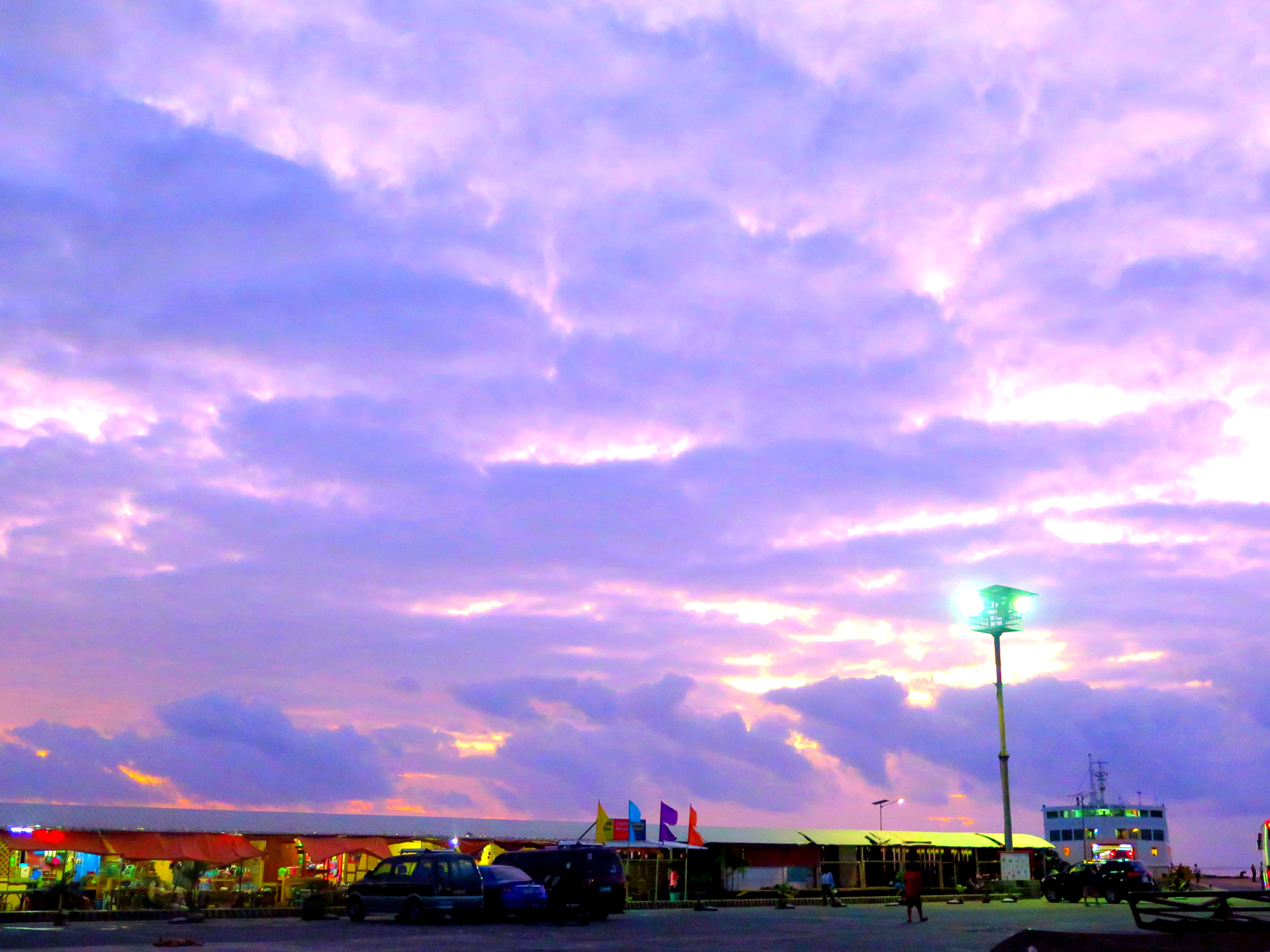
Sunrise at Port of Roxas Oriental. #view #sky #clouds #streetlight #canonG16 #yesfilter
Topographic Map of Katipunan, Zamboanga del Norte, Philippines
Find elevation by address:

Places in Katipunan, Zamboanga del Norte, Philippines:
Places near Katipunan, Zamboanga del Norte, Philippines:
Zamboanga Del Norte
Dumingag
Mutia
Zamboanga Peninsula
Disud
Josefina
Concepcion
Sindangan
Sibukang Elementary School
Don Victoriano Chiongbian
Mount Malindang
Tambulig
Misamis Occidental
San Antonio
Tipan Bike Park
Ozamis - Pagadian Road
Aurora - Ozamis City Road
Hoyohoy View Deck
Matugnaw
Hoyohoy Highland Resort
Recent Searches:
- Elevation of Calais Dr, Del Mar, CA, USA
- Elevation of Placer Mine Ln, West Jordan, UT, USA
- Elevation of E 63rd St, New York, NY, USA
- Elevation of Elk City, OK, USA
- Elevation of Erika Dr, Windsor, CA, USA
- Elevation of Village Ln, Finleyville, PA, USA
- Elevation of 24 Oakland Rd #, Scotland, ON N0E 1R0, Canada
- Elevation of Deep Gap Farm Rd E, Mill Spring, NC, USA
- Elevation of Dog Leg Dr, Minden, NV, USA
- Elevation of Dog Leg Dr, Minden, NV, USA