Elevation of Karoi, Zimbabwe
Location: Zimbabwe > Mashonaland West Province > Hurungwe >
Longitude: 29.6904746
Latitude: -16.815509
Elevation: 1260m / 4134feet
Barometric Pressure: 87KPa
Elevation Map:
Satellite Map:
Related Photos:
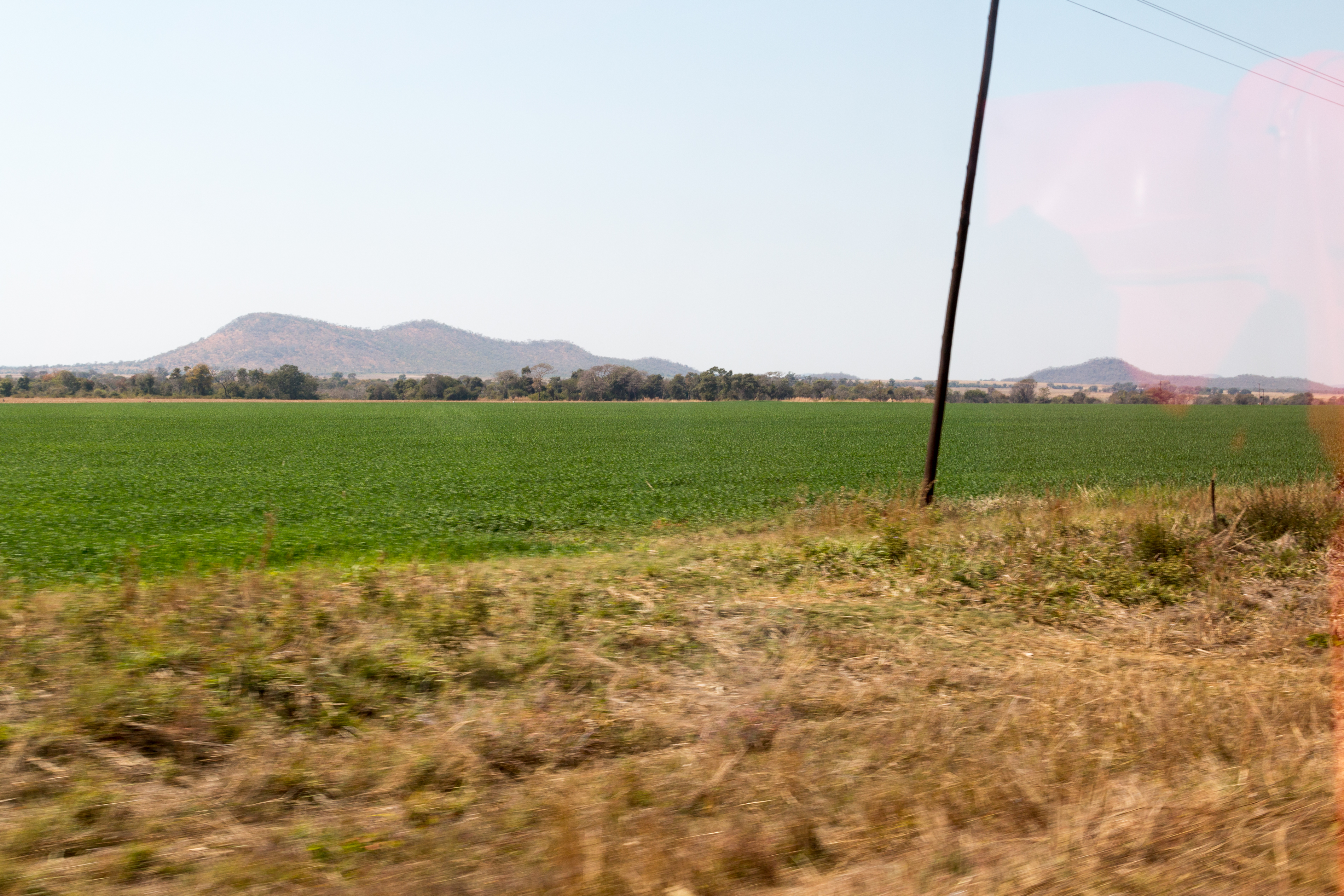
IMG_8336.jpg
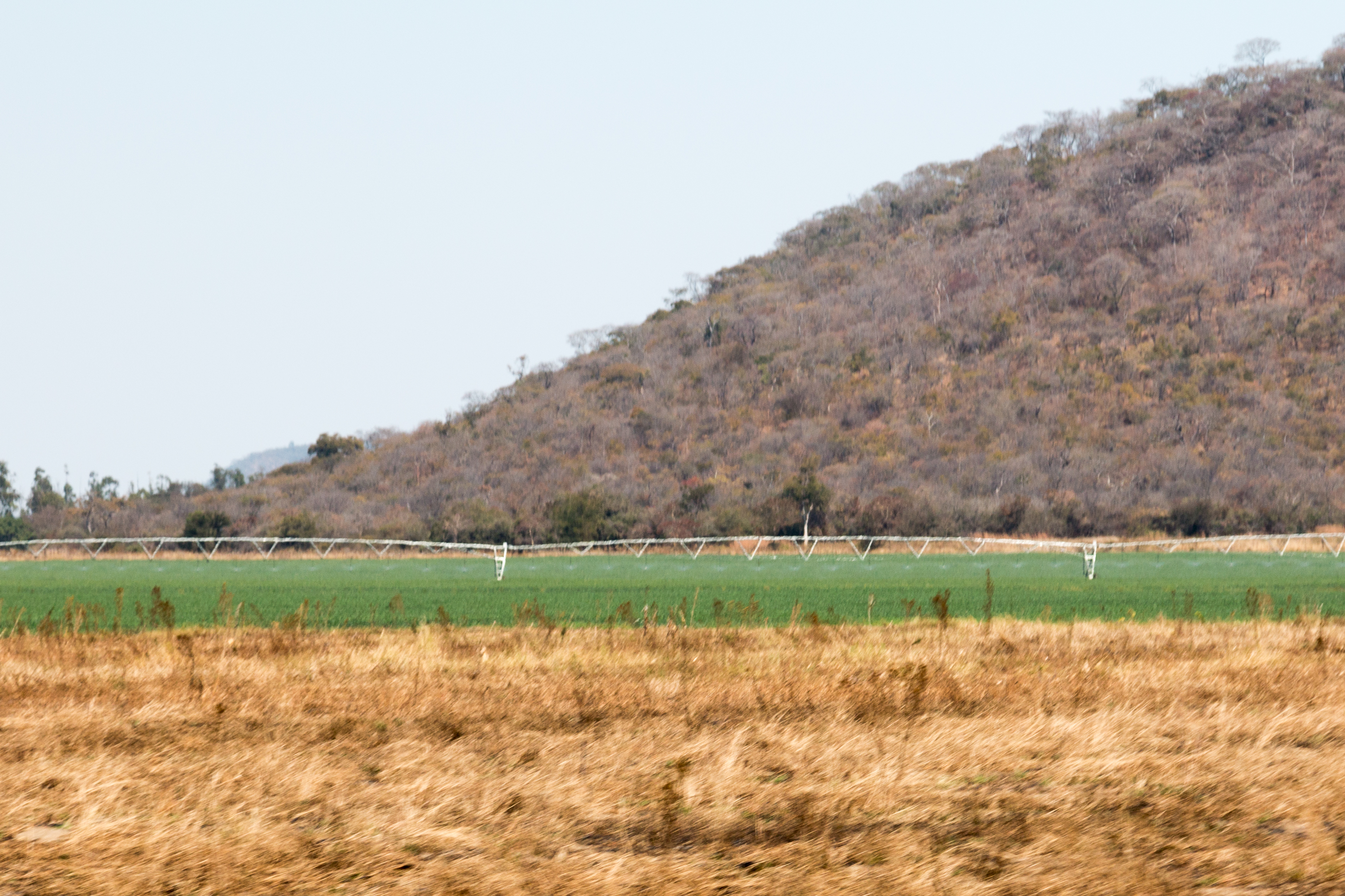
IMG_8340.jpg
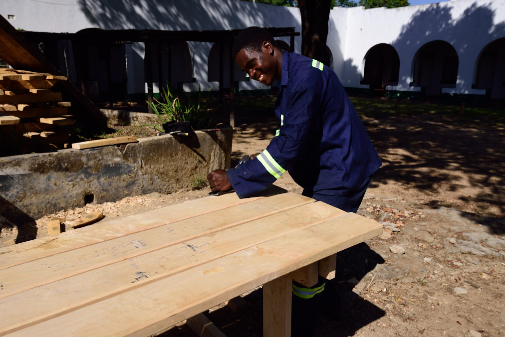
Tischler baut Tisch

Meine neue SIMkarte wird eingerichtet
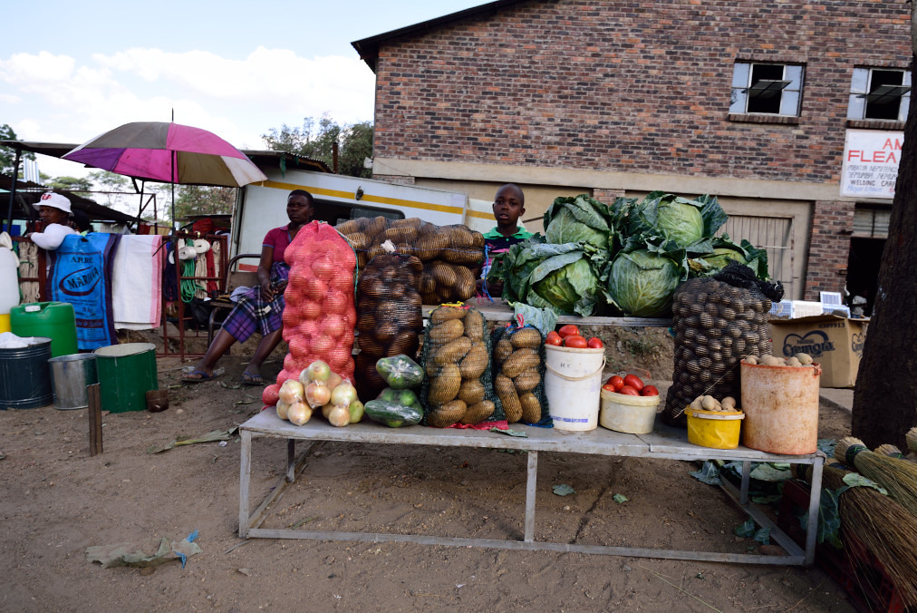
Die größten Kartoffeln...

Gekühlte Schokoriegel zum Verkauf

Im Angebot gebrauchte Handys
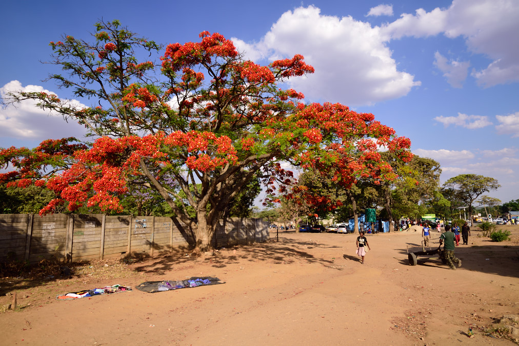
Rot blühender Baum in Karoi

Madeline Murambwi's tobacco crops on her 32-hectare farm in Zimbabwe's Mashonaland East province. She is one of this southern African nation's emerging female tobacco tycoons. Credit: Jeffrey Moyo/IPS

1995.34

Rendezvous at Karoi
IMG_8343.jpg
Topographic Map of Karoi, Zimbabwe
Find elevation by address:

Places near Karoi, Zimbabwe:
Recent Searches:
- Elevation of Calais Dr, Del Mar, CA, USA
- Elevation of Placer Mine Ln, West Jordan, UT, USA
- Elevation of E 63rd St, New York, NY, USA
- Elevation of Elk City, OK, USA
- Elevation of Erika Dr, Windsor, CA, USA
- Elevation of Village Ln, Finleyville, PA, USA
- Elevation of 24 Oakland Rd #, Scotland, ON N0E 1R0, Canada
- Elevation of Deep Gap Farm Rd E, Mill Spring, NC, USA
- Elevation of Dog Leg Dr, Minden, NV, USA
- Elevation of Dog Leg Dr, Minden, NV, USA