Elevation map of Kara-Suu District, Kyrgyzstan
Location: Kyrgyzstan > Osh Province >
Longitude: 72.9932969
Latitude: 40.4122845
Elevation: 1849m / 6066feet
Barometric Pressure: 81KPa
Elevation Map:
Satellite Map:
Related Photos:
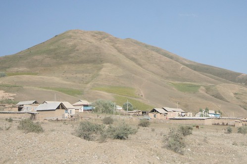
Village of Mady

En Route to Panaskoye Reservoir

Osh around Mouth of the Ak-Bura River

Alay Mountains
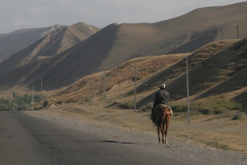
Road to Gulcha
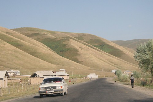
The road outside of Mady

Papanskoye Water Reservoir

Alay Mountains

Papanskoye Reservoir

Alay Mountains

Papanskoye Reservoir
Topographic Map of Kara-Suu District, Kyrgyzstan
Find elevation by address:

Places in Kara-Suu District, Kyrgyzstan:
Places near Kara-Suu District, Kyrgyzstan:
Kok-bel
Osh
Gora Sulayman-too
Jany-aryk
Khodjaobad
Osh Province
Tepe-korgon
Sary Mogul
Tulpar Lake
Chatyndy
Daroot-korgon
Chong-alay District
Fergana
Alay Mountains
Kadamzhai District
Recent Searches:
- Elevation of Tenjo, Cundinamarca, Colombia
- Elevation of Côte-des-Neiges, Montreal, QC H4A 3J6, Canada
- Elevation of Bobcat Dr, Helena, MT, USA
- Elevation of Zu den Ihlowbergen, Althüttendorf, Germany
- Elevation of Badaber, Peshawar, Khyber Pakhtunkhwa, Pakistan
- Elevation of SE Heron Loop, Lincoln City, OR, USA
- Elevation of Slanický ostrov, 01 Námestovo, Slovakia
- Elevation of Spaceport America, Co Rd A, Truth or Consequences, NM, USA
- Elevation of Warwick, RI, USA
- Elevation of Fern Rd, Whitmore, CA, USA