Elevation map of Kadamzhai District, Kyrgyzstan
Location: Kyrgyzstan > Osh Province >
Longitude: 71.7622481
Latitude: 39.9814297
Elevation: 2001m / 6565feet
Barometric Pressure: 0KPa
Related Photos:
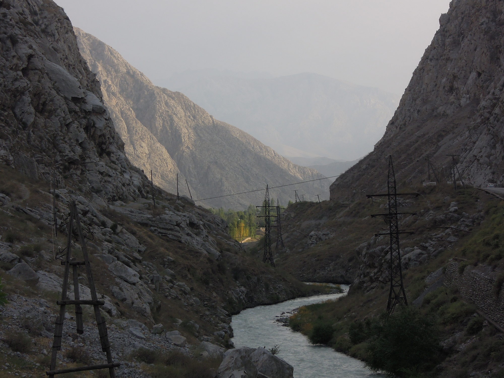
Tal des Ак-Суу, Blick nach Süden
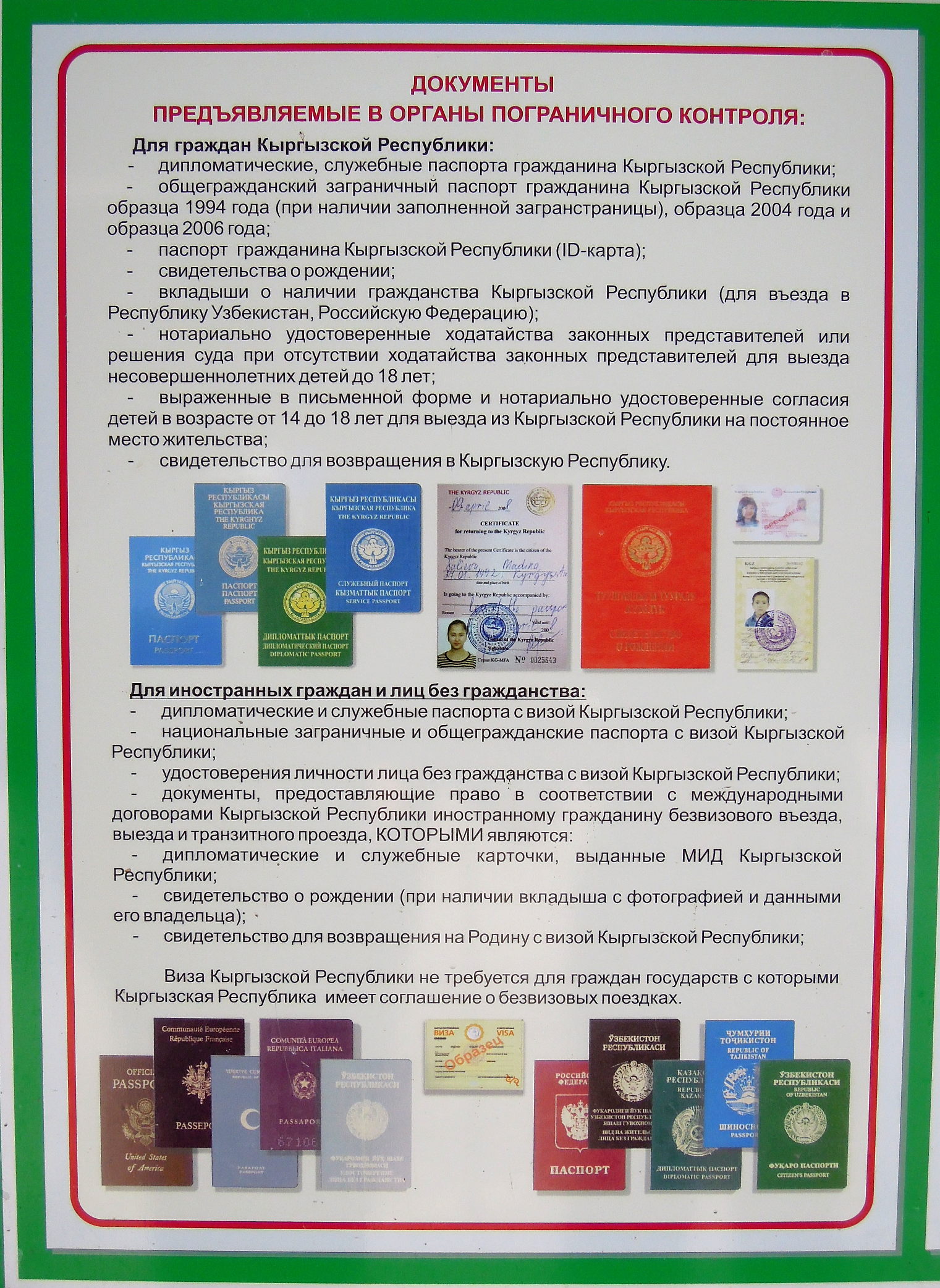
Musterblatt mit erlaubten und nicht erlaubten Ausweisen an diesem Grenzposten
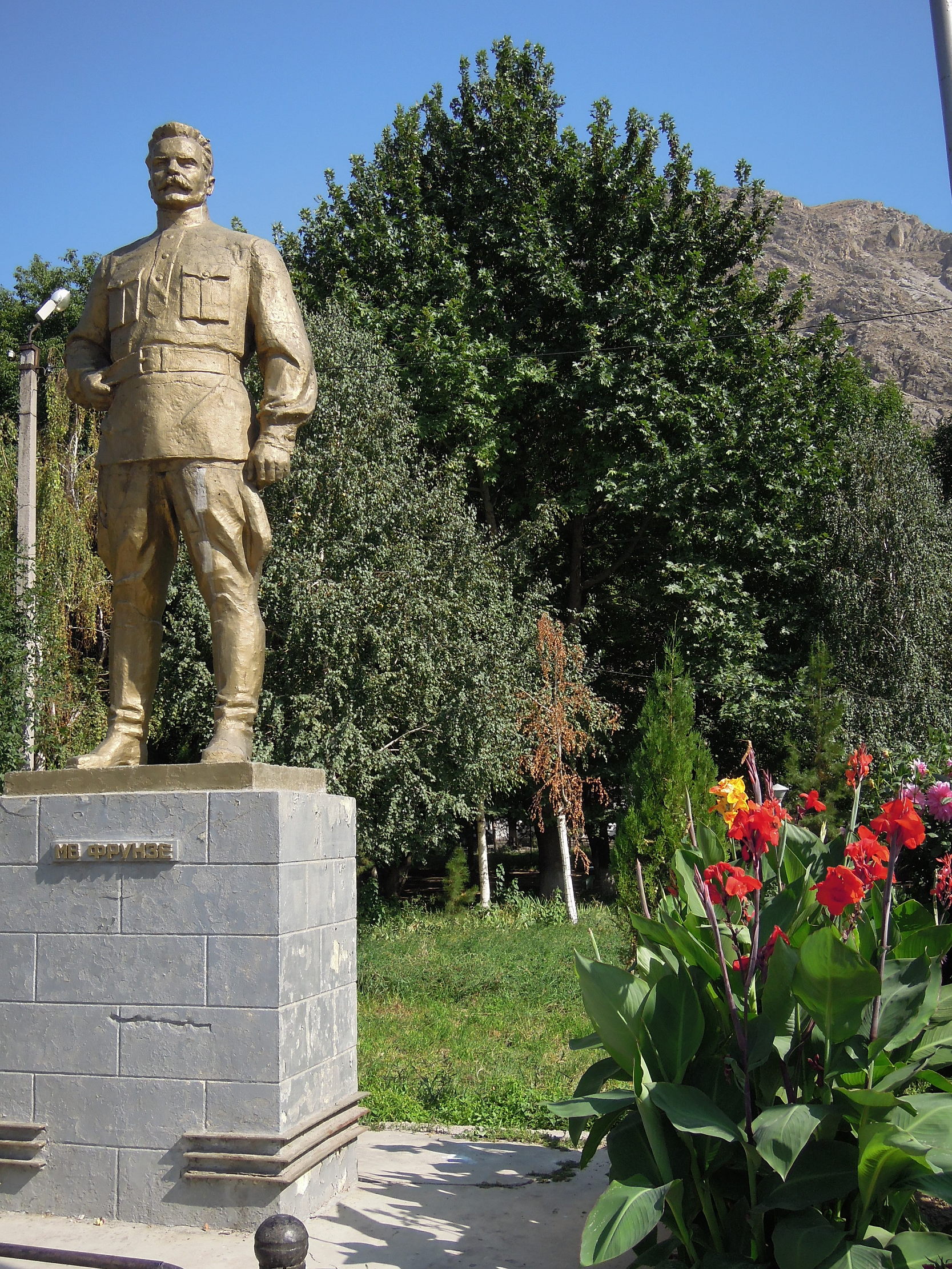
Frunse-Denkmal vor dem metallurgischen Kombinat
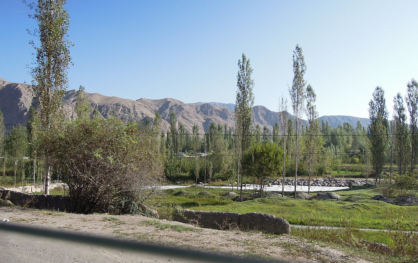
bewässerte Ebene
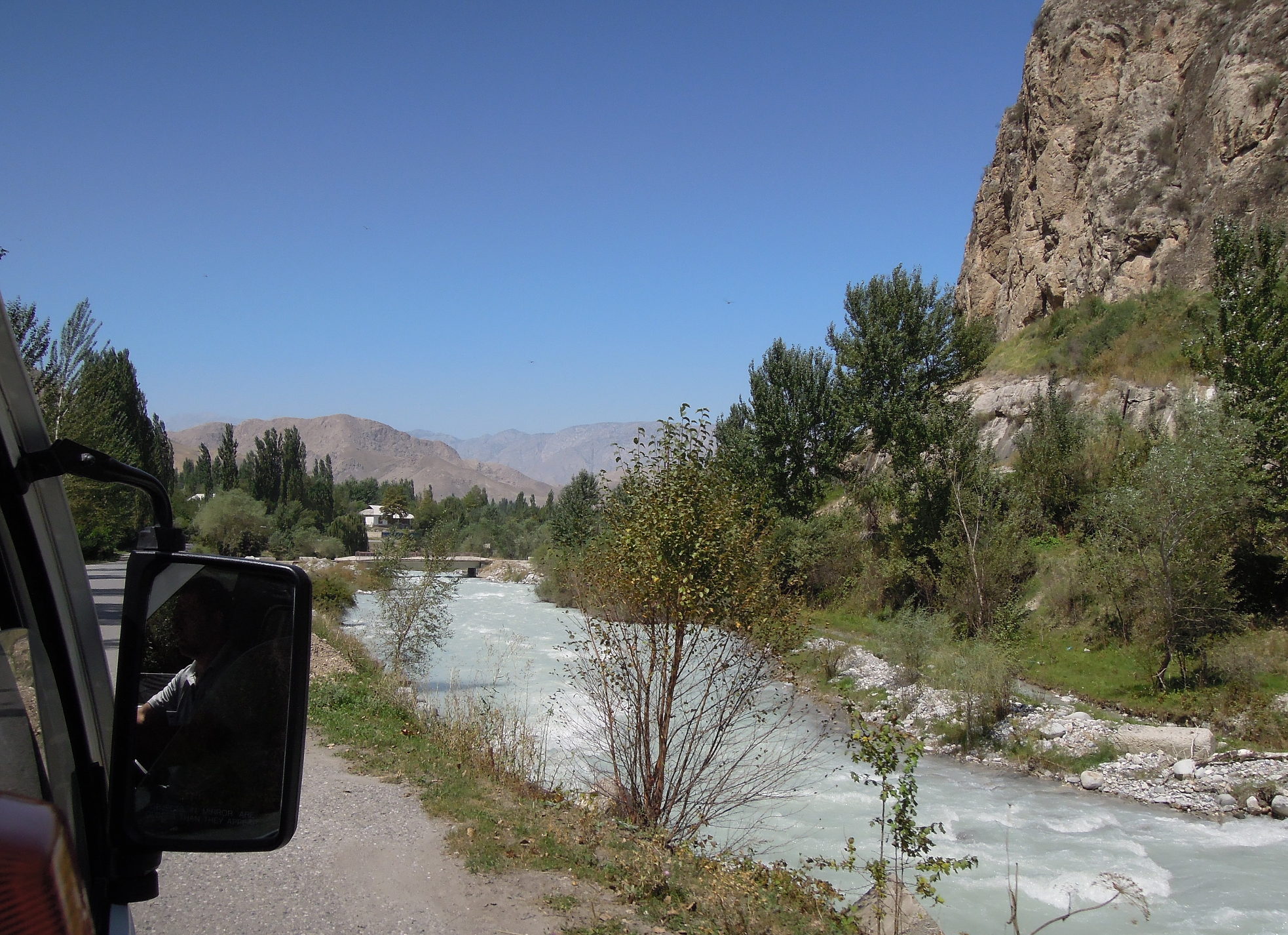
Flußtal
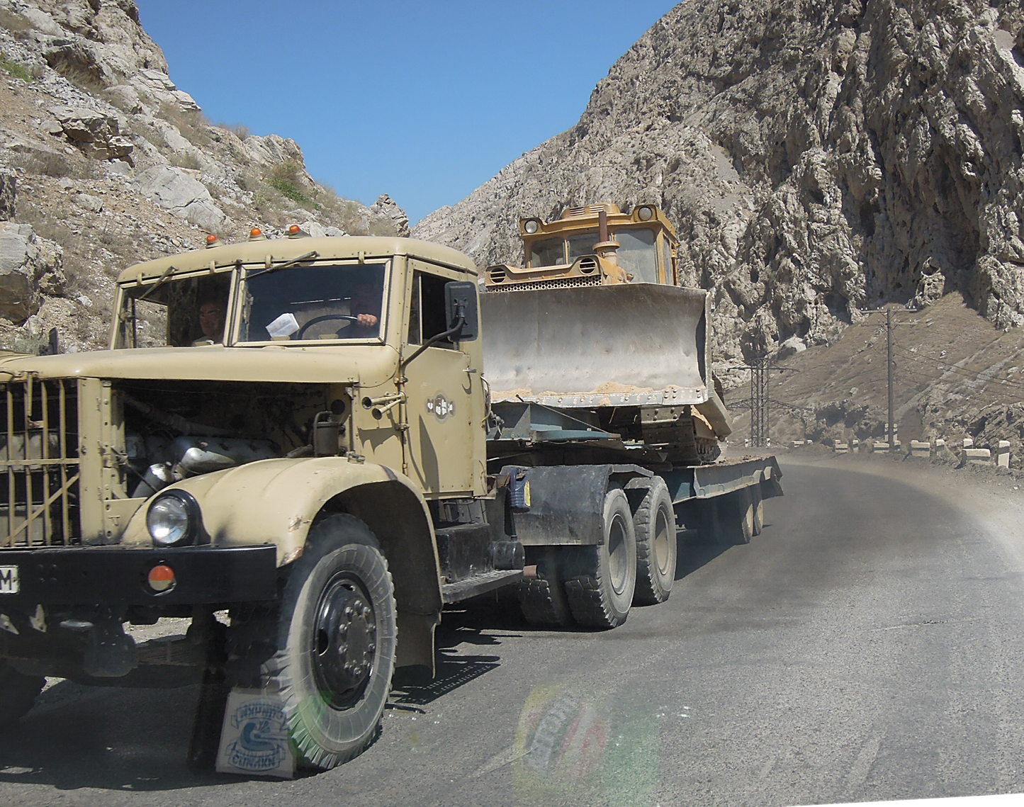
Planierraupe auf Tieflader
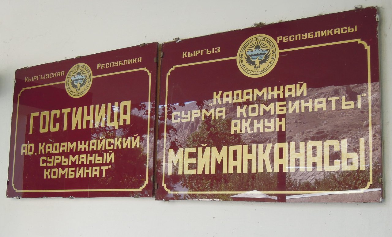
Gostiniza (Гостиница) "Kombinat"
Topographic Map of Kadamzhai District, Kyrgyzstan
Find elevation by address:

Places in Kadamzhai District, Kyrgyzstan:
Places near Kadamzhai District, Kyrgyzstan:
Alay Mountains
Fergana
Chatyndy
Daroot-korgon
Chong-alay District
Tepe-korgon
Khodjaobad
Osh Province
Gora Sulayman-too
Sary Mogul
Osh
Kok-bel
Tulpar Lake
Kara-suu District
Jany-aryk
Recent Searches:
- Elevation map of Greenland, Greenland
- Elevation of Sullivan Hill, New York, New York, 10002, USA
- Elevation of Morehead Road, Withrow Downs, Charlotte, Mecklenburg County, North Carolina, 28262, USA
- Elevation of 2800, Morehead Road, Withrow Downs, Charlotte, Mecklenburg County, North Carolina, 28262, USA
- Elevation of Yangbi Yi Autonomous County, Yunnan, China
- Elevation of Pingpo, Yangbi Yi Autonomous County, Yunnan, China
- Elevation of Mount Malong, Pingpo, Yangbi Yi Autonomous County, Yunnan, China
- Elevation map of Yongping County, Yunnan, China
- Elevation of North 8th Street, Palatka, Putnam County, Florida, 32177, USA
- Elevation of 107, Big Apple Road, East Palatka, Putnam County, Florida, 32131, USA
- Elevation of Jiezi, Chongzhou City, Sichuan, China
- Elevation of Chongzhou City, Sichuan, China
- Elevation of Huaiyuan, Chongzhou City, Sichuan, China
- Elevation of Qingxia, Chengdu, Sichuan, China
- Elevation of Corso Fratelli Cairoli, 35, Macerata MC, Italy
- Elevation of Tallevast Rd, Sarasota, FL, USA
- Elevation of 4th St E, Sonoma, CA, USA
- Elevation of Black Hollow Rd, Pennsdale, PA, USA
- Elevation of Oakland Ave, Williamsport, PA, USA
- Elevation of Pedrógão Grande, Portugal