Elevation of Kalutara, Sri Lanka
Location: Sri Lanka > Western Province >
Longitude: 80.1428584
Latitude: 6.6084686
Elevation: 147m / 482feet
Barometric Pressure: 100KPa
Elevation Map:
Satellite Map:
Related Photos:
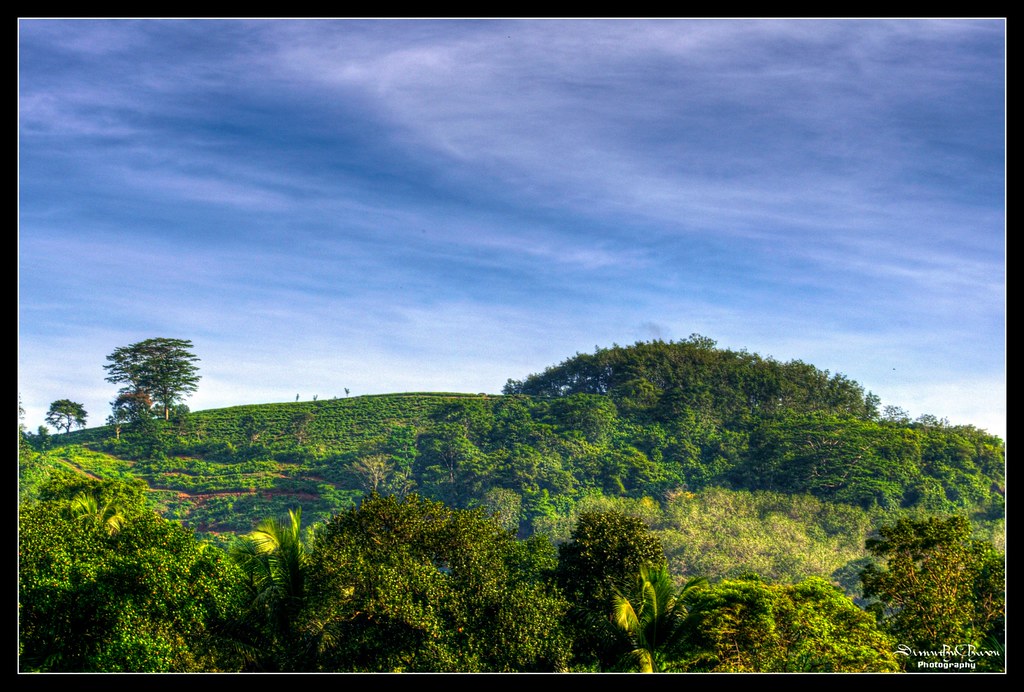
A view from my home
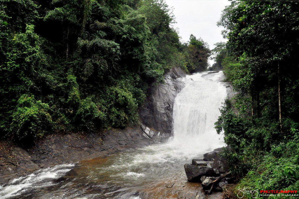
Makeli Falls
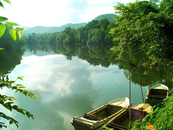
Kalu ganga
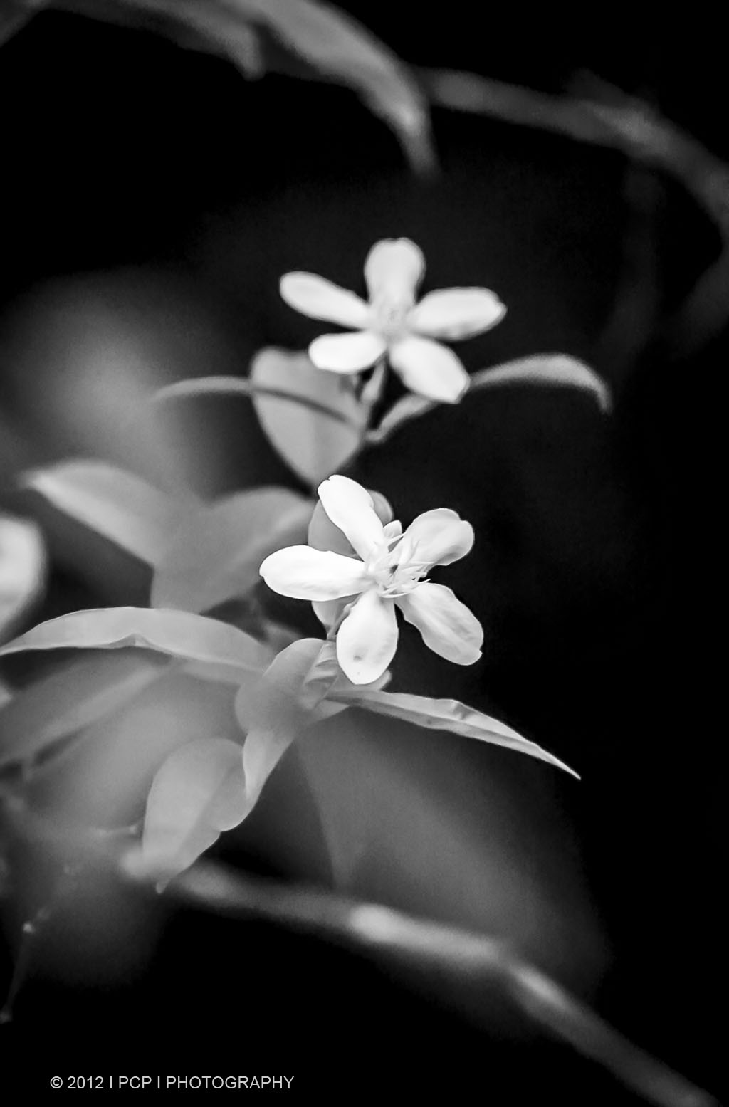
Temple Flowers

Refreshing morning

Two Horses having breakfast

Beautiful Morning

Beautiful Monrning

Beautiful Morning
Topographic Map of Kalutara, Sri Lanka
Find elevation by address:

Places in Kalutara, Sri Lanka:
Beruwala
Panadura
Kalutara
Horana
Baduraliya
Molkawa
Wadduwa
Palindanuwara
Athweltota
Kalukandawa
Matugama
Gavaragiriya
Places near Kalutara, Sri Lanka:
Matugama
Horana Bus Station
Horana
Uggalbada East
Uggalboda - Duwegama Road
Kalutara
Saint Sebastian Road
Wadduwa
Beruwala
Pamunugama
Horana Road
Bentota
Panadura
Padukka
Meepe
Colombo
Pinnawala
Homagama
Habarakada
Kottawa Town
Recent Searches:
- Elevation of Vista Blvd, Sparks, NV, USA
- Elevation of 15th Ave SE, St. Petersburg, FL, USA
- Elevation of Beall Road, Beall Rd, Florida, USA
- Elevation of Leguwa, Nepal
- Elevation of County Rd, Enterprise, AL, USA
- Elevation of Kolchuginsky District, Vladimir Oblast, Russia
- Elevation of Shustino, Vladimir Oblast, Russia
- Elevation of Lampiasi St, Sarasota, FL, USA
- Elevation of Elwyn Dr, Roanoke Rapids, NC, USA
- Elevation of Congressional Dr, Stevensville, MD, USA