Elevation of Horana, Sri Lanka
Location: Sri Lanka > Western Province > Kalutara >
Longitude: 80.0646682
Latitude: 6.7229806
Elevation: 91m / 299feet
Barometric Pressure: 100KPa
Elevation Map:
Satellite Map:
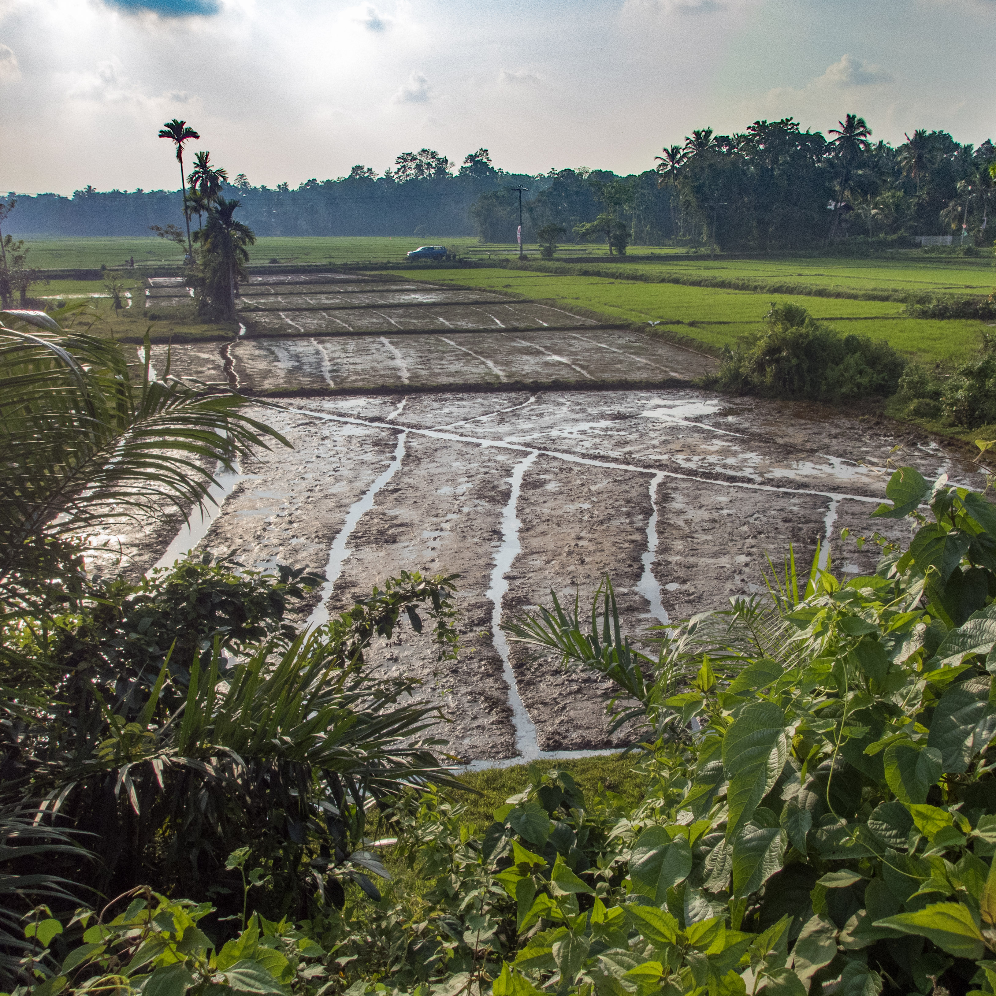
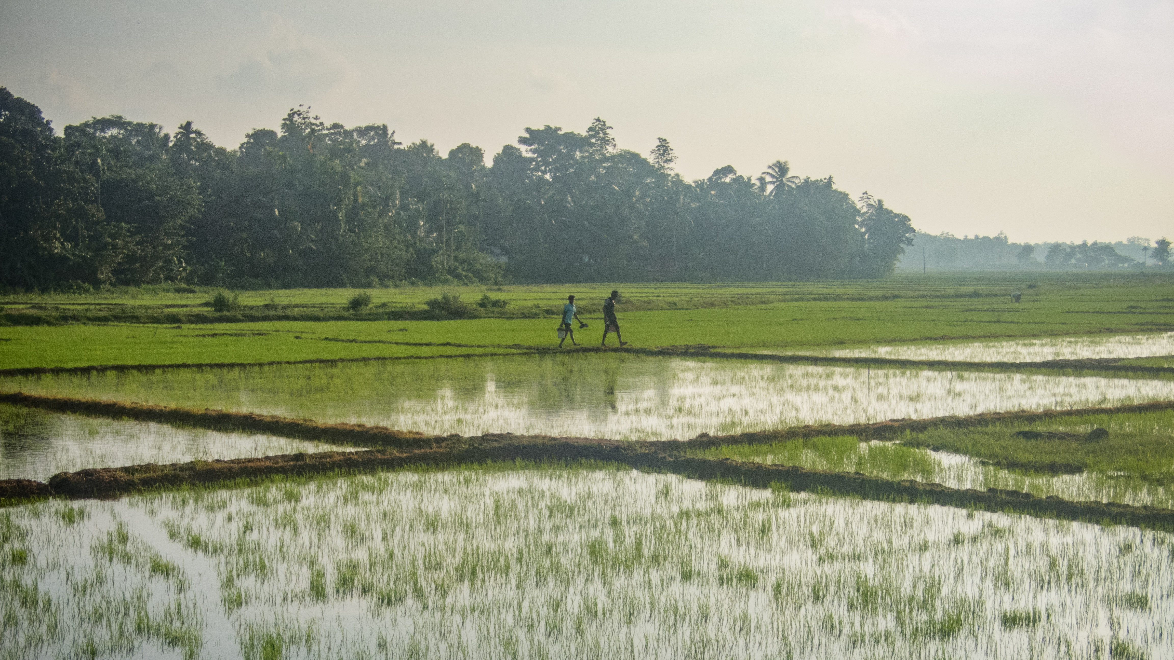
Related Photos:
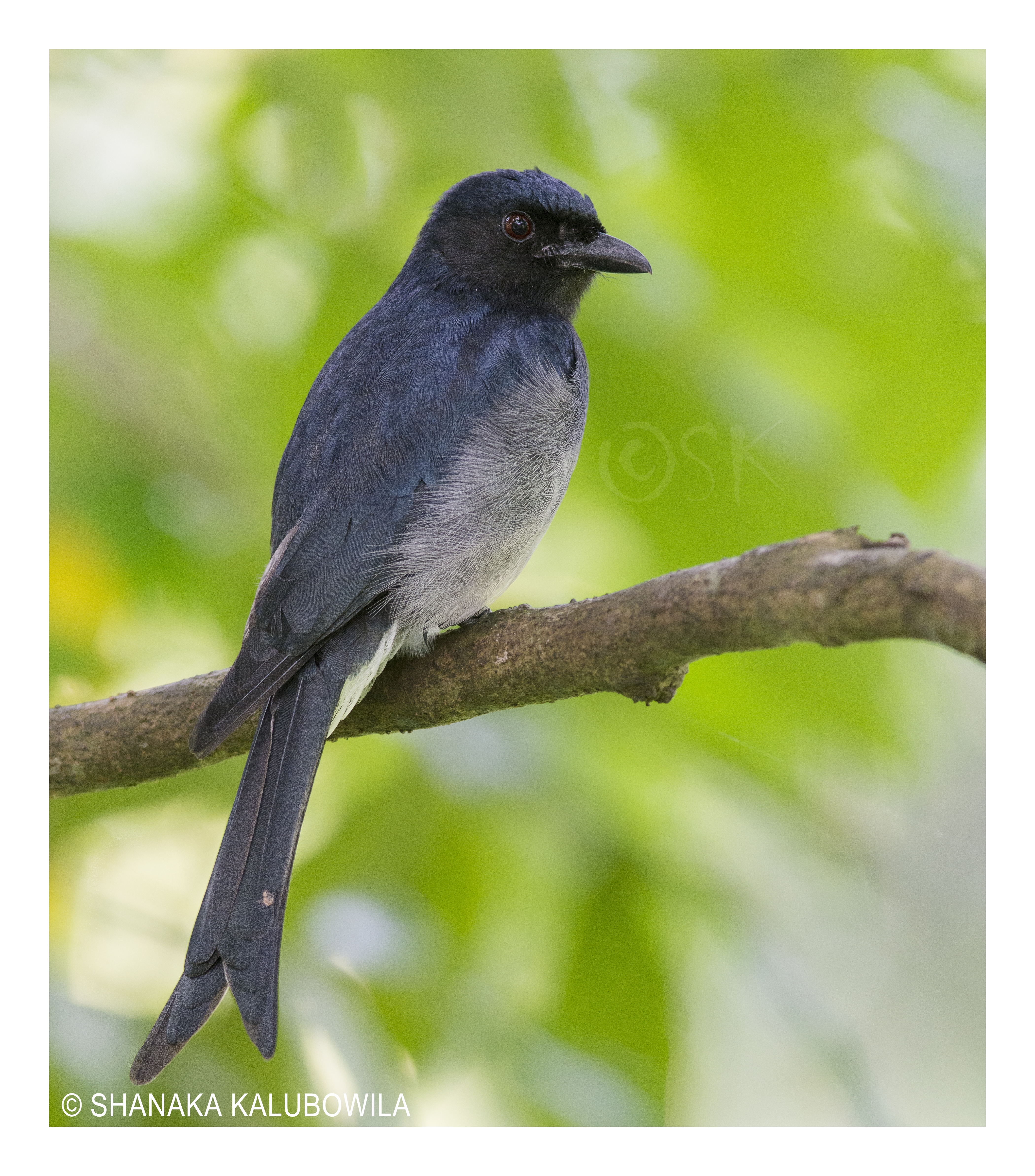
White-bellied drongo

Purple Rumped Sunbird

කොළඹ දසුන්...

Colombo at dusk

කොළඹ දසුන්...
PB144970.jpg

DSC_8144-2
PB144986.jpg
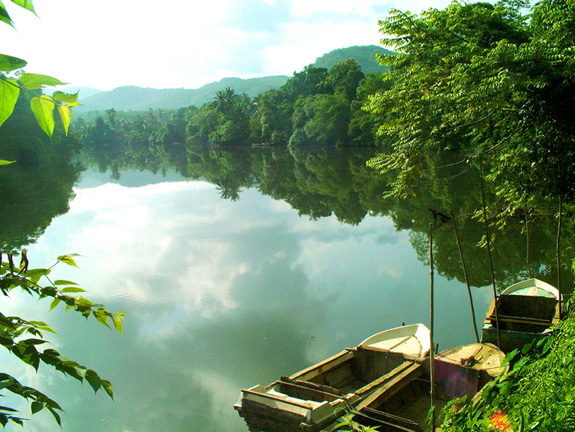
බොල්ගොඩ වැව bolgoda lake

බොල්ගොඩ ගඟ

කන්දෙ විහාරේ...
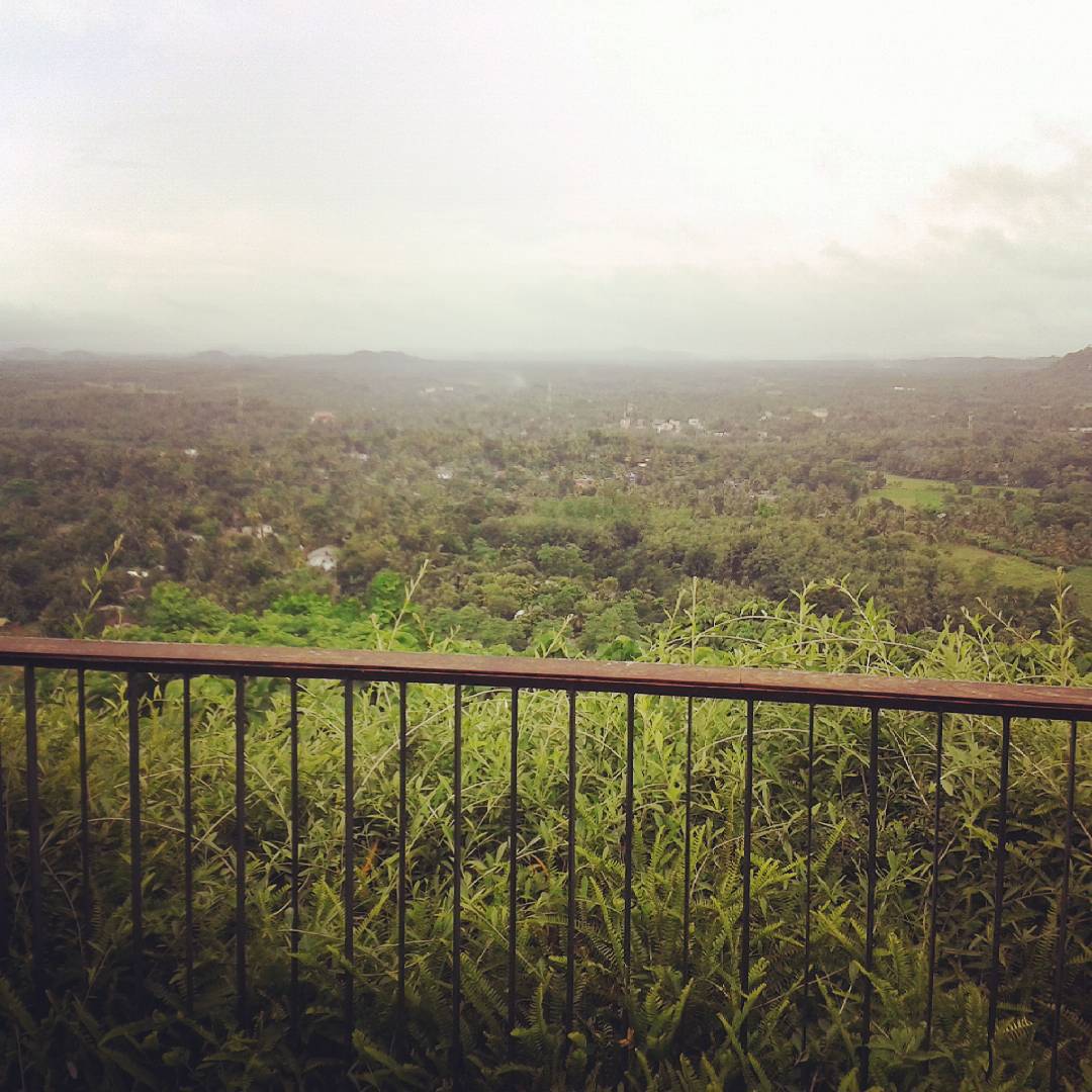
Over the fance

නිඳි කුම්බා අත්ත හයියයිද මන්ද?
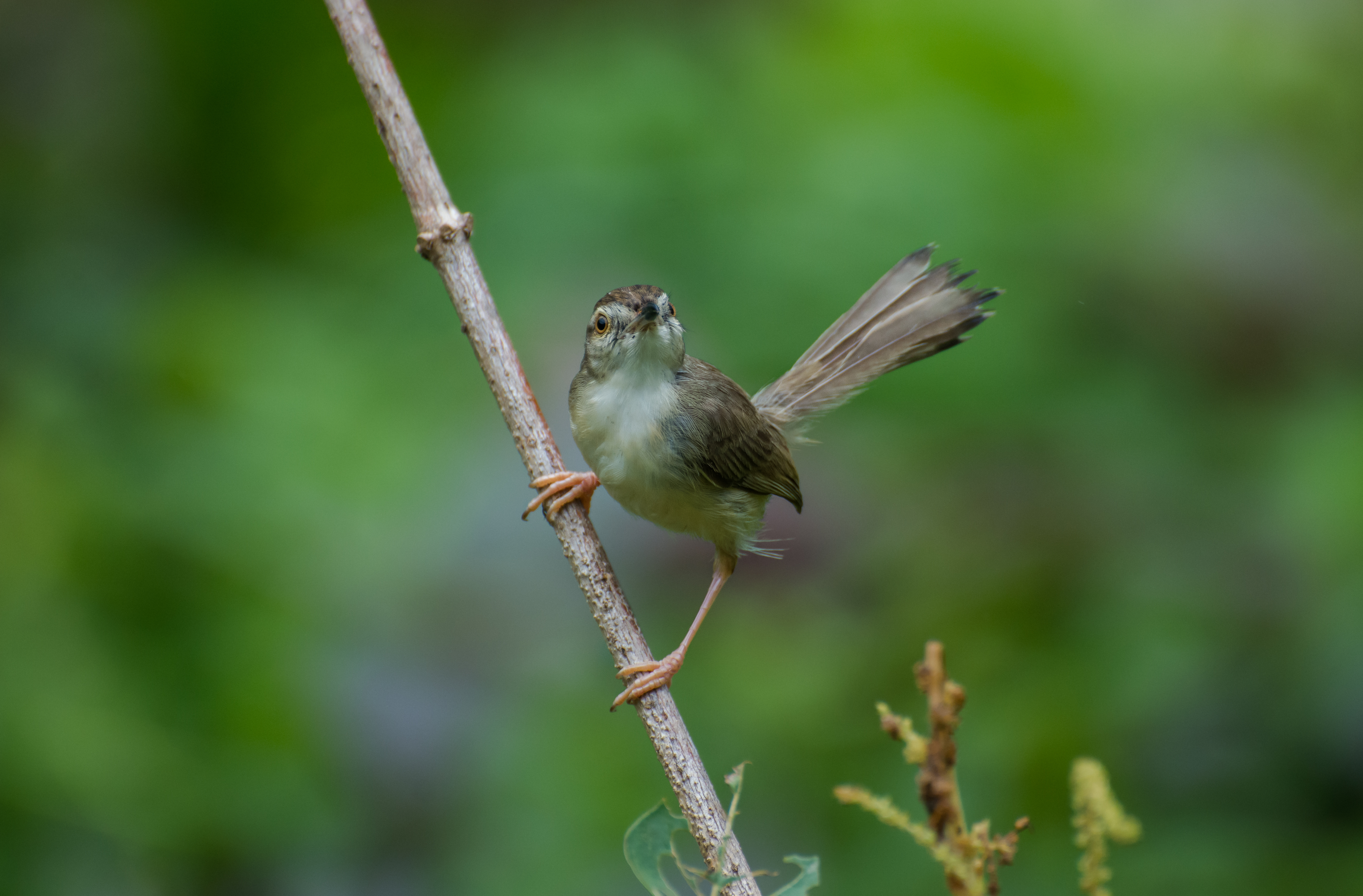
Jungle Prinia
Kalu ganga
Topographic Map of Horana, Sri Lanka
Find elevation by address:

Places near Horana, Sri Lanka:
Horana Bus Station
Pamunugama
Horana Road
Padukka
Panadura
Homagama
Meepe
Uggalbada East
Uggalboda - Duwegama Road
Colombo
Kalutara
Wadduwa
Habarakada
Kottawa Town
Piliyandala
Pinnawala
Pannipitiya
Kalutara
Moratuwa
Western Province
Recent Searches:
- Elevation of N Railroad Ave, West Palm Beach, FL, USA
- Elevation of 55 Cassick Valley Rd, Wellfleet, MA, USA
- Elevation of Ironwood Dr, Minden, NV, USA
- Elevation of 高尾山口駅, Takaomachi, Hachioji, Tokyo -, Japan
- Elevation of 15 Victory Ave, Greenville, SC, USA
- Elevation of Kota Ternate Utara, Ternate City, North Maluku, Indonesia
- Elevation of Allon St, Oceanside, NY, USA
- Elevation of Carroll Creek Rd, Custer, SD, USA
- Elevation of Lust Road, Lust Rd, Florida, USA
- Elevation of Pleasant Valley Rd NW, Adairsville, GA, USA