Elevation of Këlcyrë, Albania
Location: Albania > Gjirokastër County >
Longitude: 20.1893997
Latitude: 40.313567
Elevation: 176m / 577feet
Barometric Pressure: 99KPa
Elevation Map:
Satellite Map:
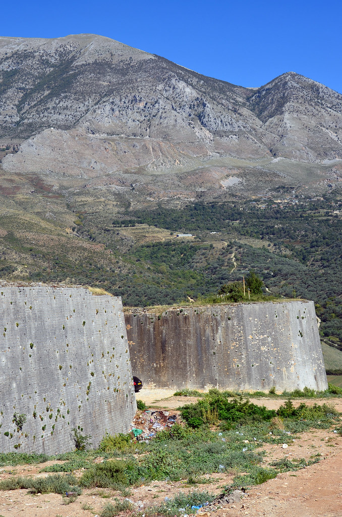
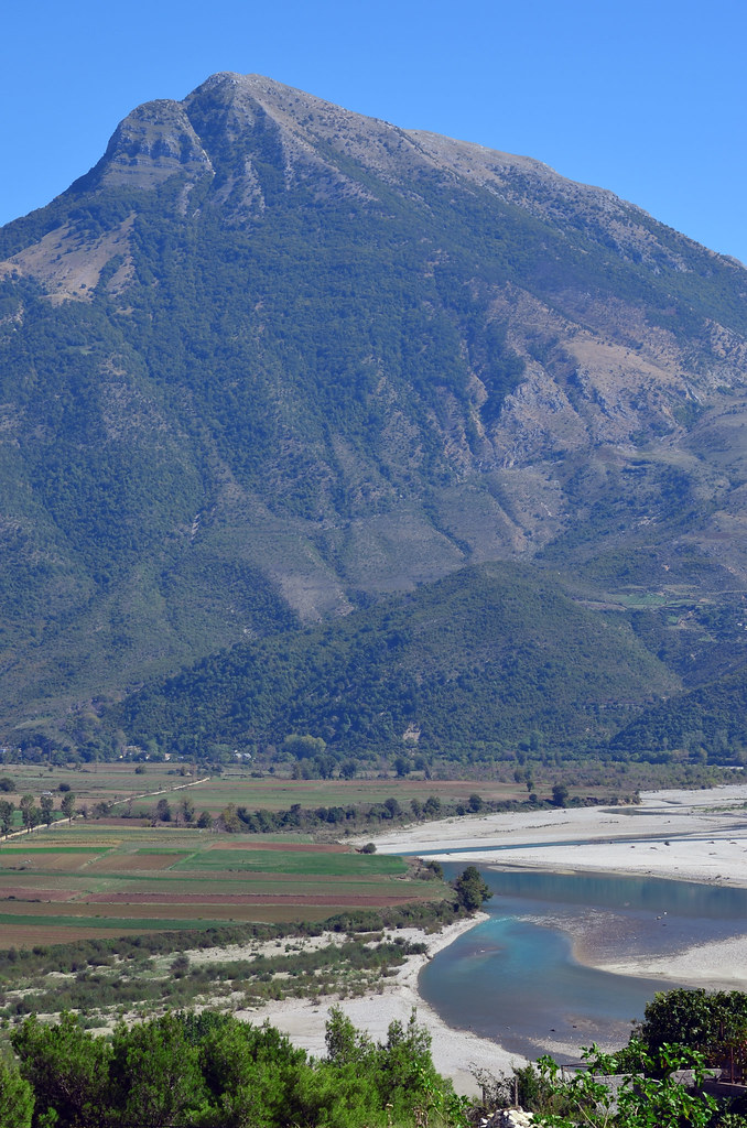
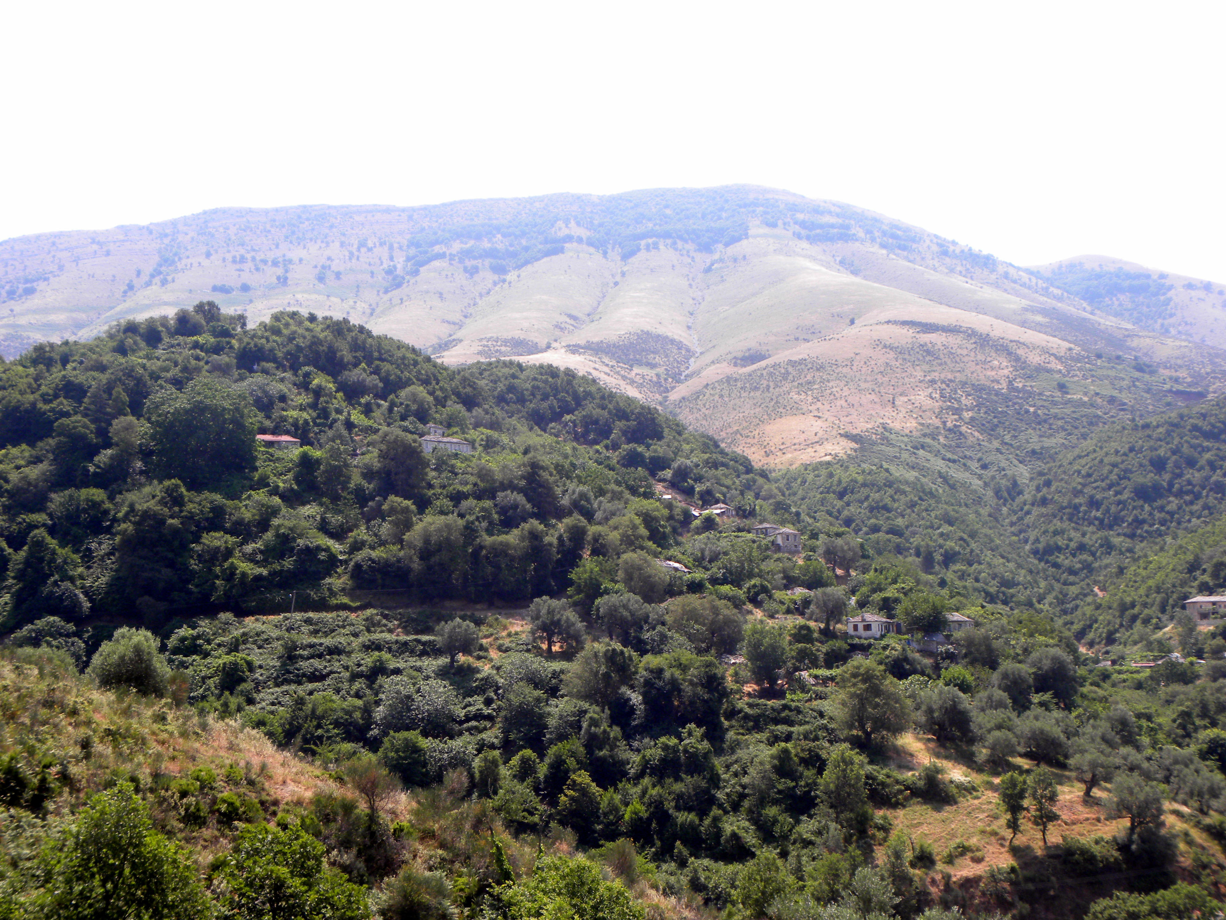
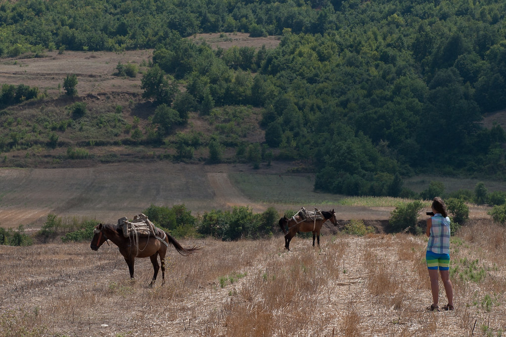
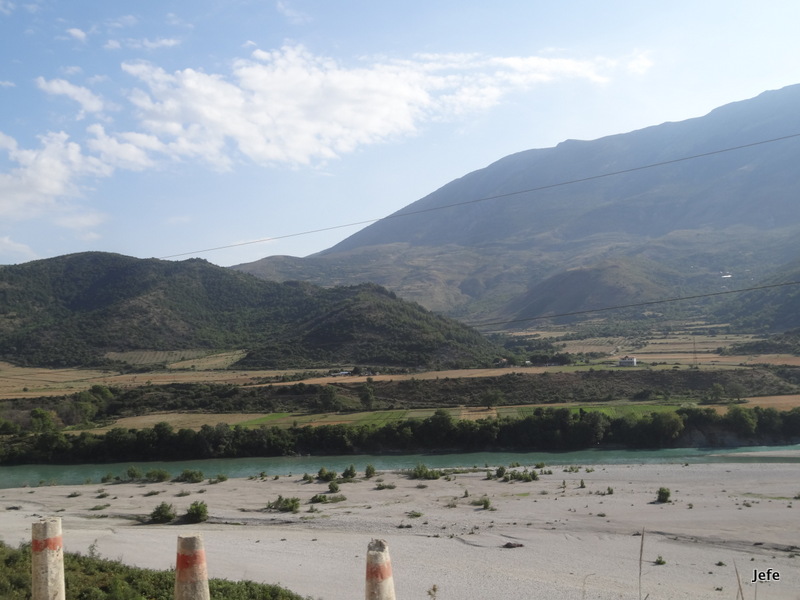
Related Photos:
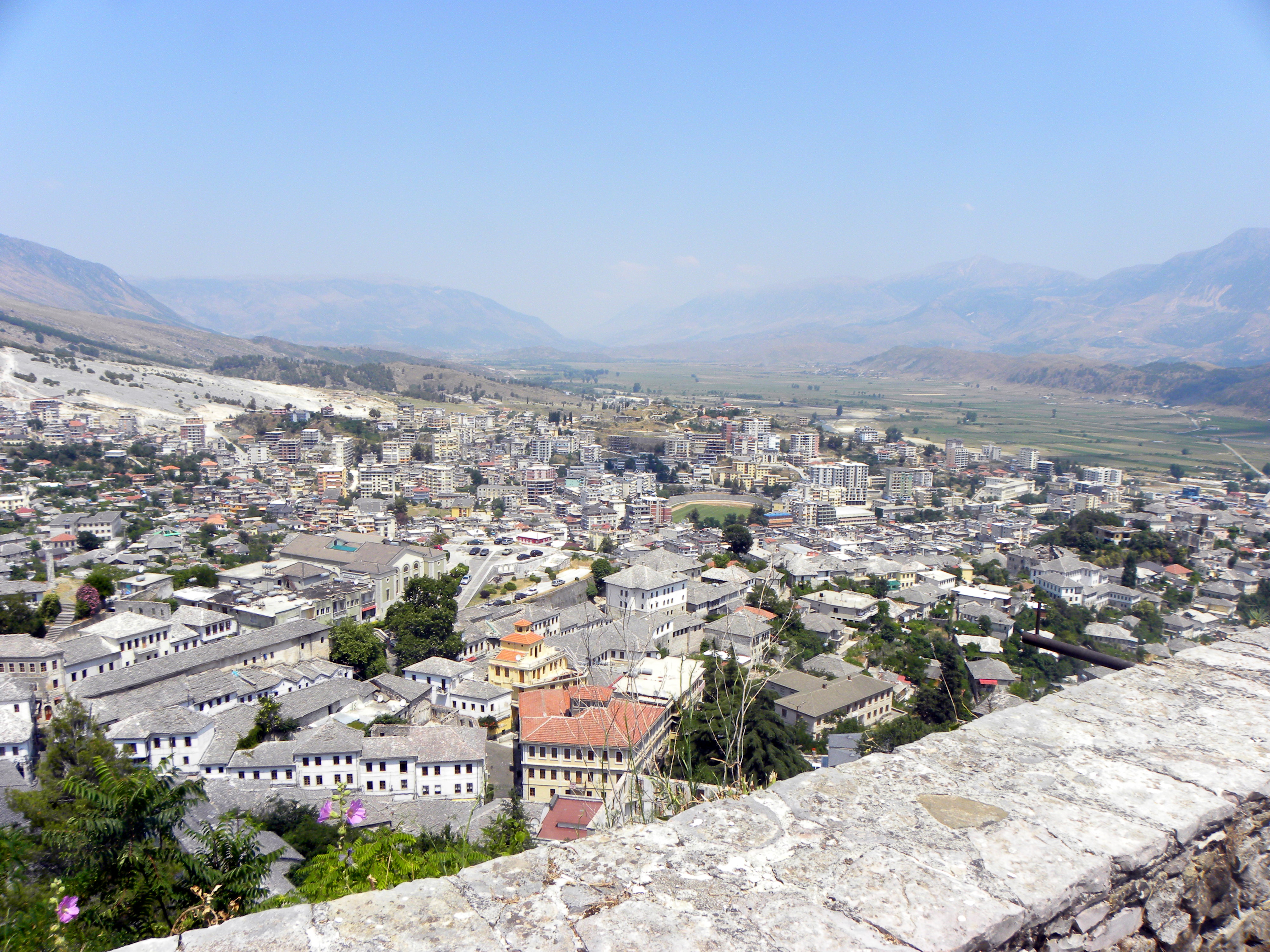
View from Gjirokastër Castle
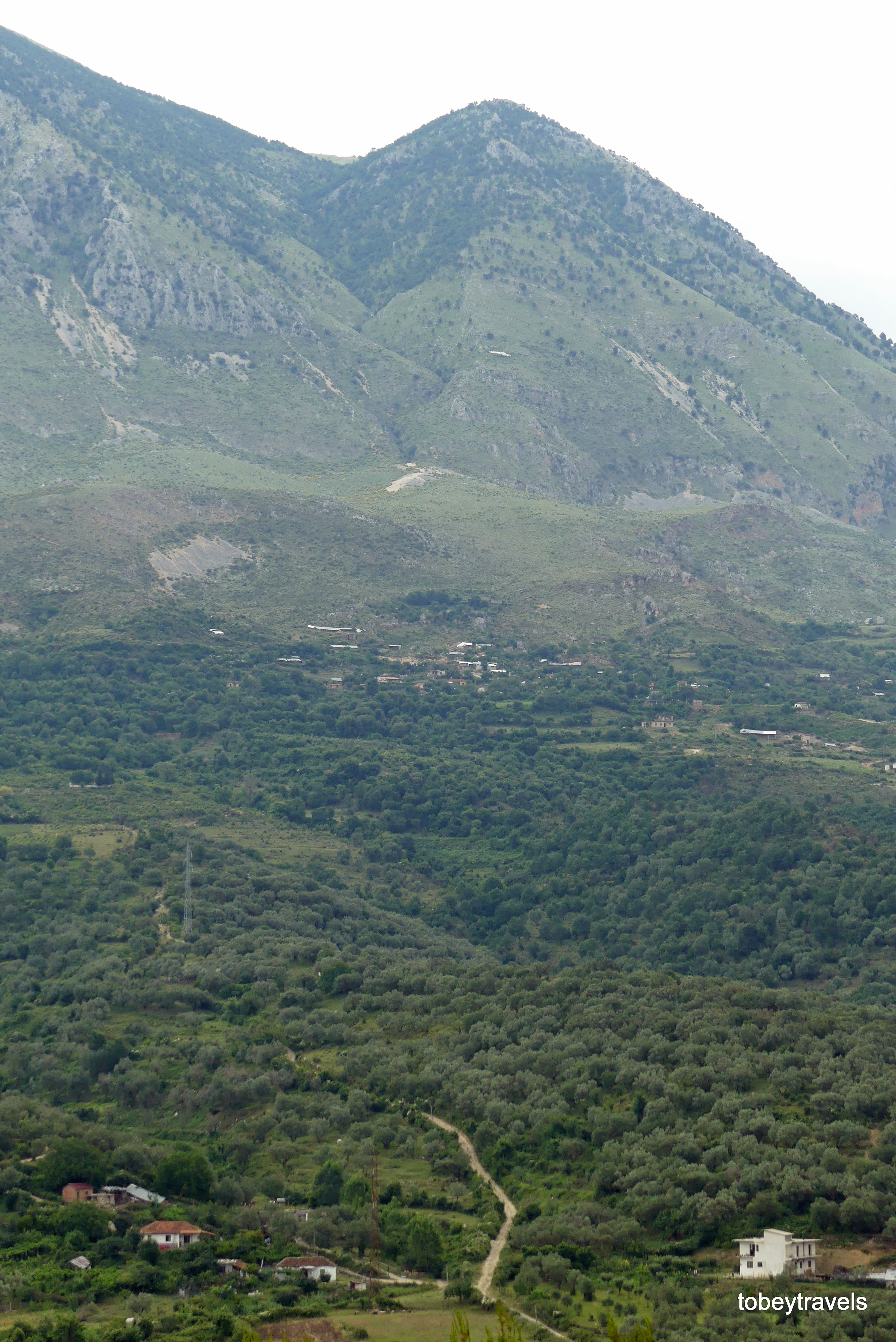
0017 Tepelene, View to Vjosa Valley (3)

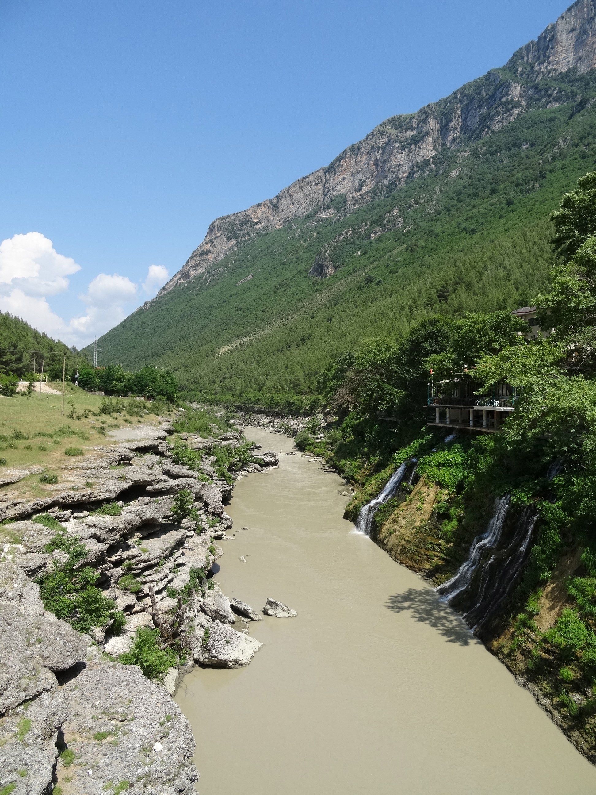
Gryka e Kelcyres
Albanië - Këlcyrë
11 002 M
09 Tepelena 003

11 001 Këlcyra

Albanien Panorama 2
09 Tepelena 008
Southern Albania

09 Tepelena 010
06082013-DSC_1015.jpg
007-Crossing Albania....

Tepelene--morning coffee
Topographic Map of Këlcyrë, Albania
Find elevation by address:

Places near Këlcyrë, Albania:
Gjirokastër County
Bënçë
Çorovoda
Çorovoda
Tepelenë District
Rruga Syrja Kasi
Progonat
Vlorë County
Mavropoulo
Rruga Fan Noli
Moglice Power Plant
Ano Pogoni
Pogoni
Sarandë
Vasiliko
Epar.Od. Vasilikou - Delvinakiou, Vasiliko 06, Greece
Korçë County
Korçë District
Buthrotum
Aristi
Recent Searches:
- Elevation of 24 Oakland Rd #, Scotland, ON N0E 1R0, Canada
- Elevation of Deep Gap Farm Rd E, Mill Spring, NC, USA
- Elevation of Dog Leg Dr, Minden, NV, USA
- Elevation of Dog Leg Dr, Minden, NV, USA
- Elevation of Kambingan Sa Pansol Atbp., Purok 7 Pansol, Candaba, Pampanga, Philippines
- Elevation of Pinewood Dr, New Bern, NC, USA
- Elevation of Mountain View, CA, USA
- Elevation of Foligno, Province of Perugia, Italy
- Elevation of Blauwestad, Netherlands
- Elevation of Bella Terra Blvd, Estero, FL, USA