Elevation of Jumla, Nepal
Location: Nepal > Western Region > Karnali >
Longitude: 82.12784
Latitude: 29.2787765
Elevation: 2560m / 8399feet
Barometric Pressure: 74KPa
Elevation Map:
Satellite Map:
Related Photos:
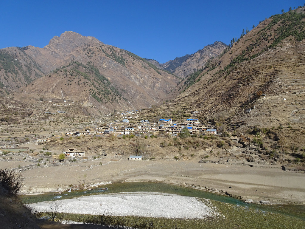
Mugu_2680 Tallo Lorpa
Extremely outstanding
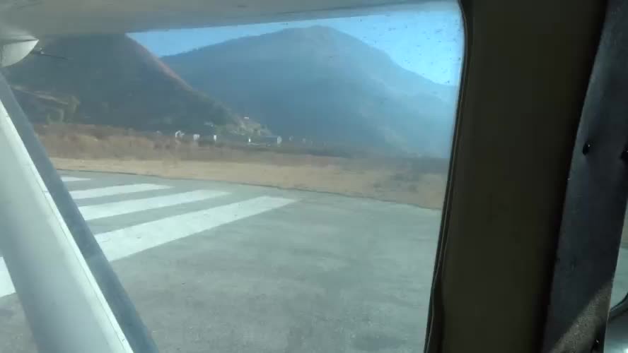
Mugu_2686 Take-off from Jumla

Mugu_2679 Woman carrying Winter Feed
Gallows traction

_DSC2924.jpg
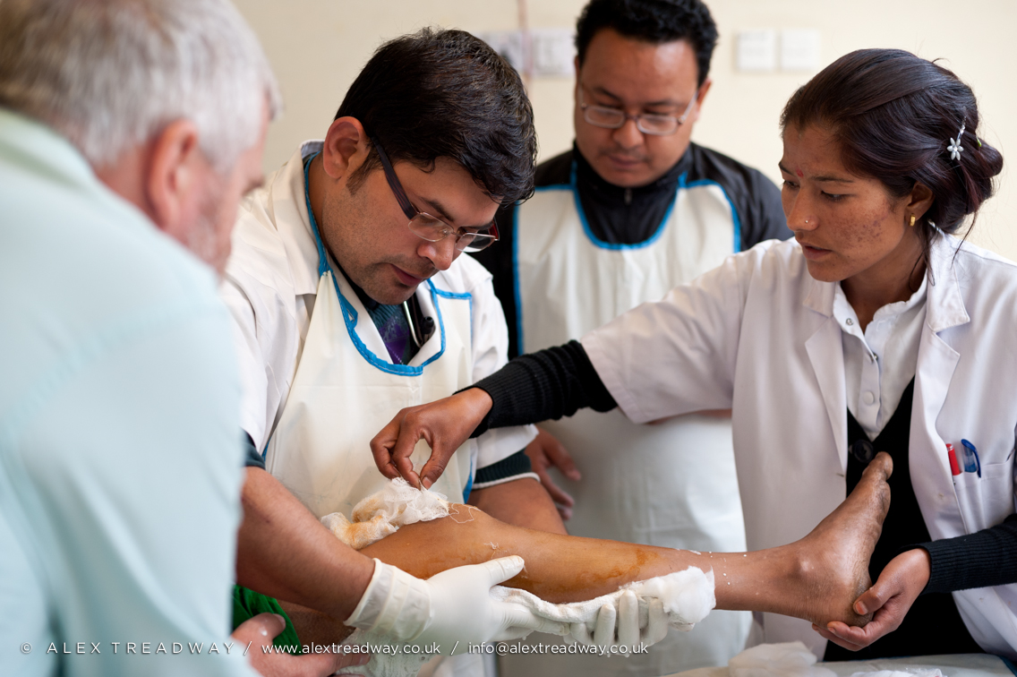
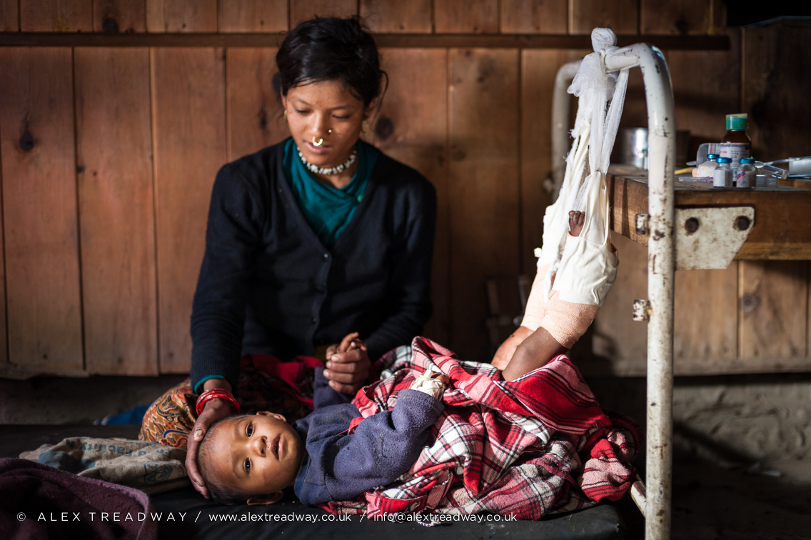
Infected Patella

_DSC2726.jpg

Gallows traction

_DSC2681.jpg
Topographic Map of Jumla, Nepal
Find elevation by address:

Places near Jumla, Nepal:
Sanigaun
Tatopani
Sinja Valley Hotel, Narakot
Lihi
Mugu
Nagma Bazar
Rowa
Rara Lake
Rara
Phoi Mahadev
Karnali
Chilkhaya
Mid-western Region
Sarmi
Rimi
Narku
Salleri
Manma
Kaigaun
Kotbada
Recent Searches:
- Elevation of AMELIA CT HSE, VA, USA
- Elevation of Abbey Dr, Virginia Beach, VA, USA
- Elevation of Brooks Lp, Spearfish, SD, USA
- Elevation of Panther Dr, Maggie Valley, NC, USA
- Elevation of Jais St - Wadi Shehah - Ras al Khaimah - United Arab Emirates
- Elevation of Shawnee Avenue, Shawnee Ave, Easton, PA, USA
- Elevation of Scenic Shore Dr, Kingwood Area, TX, USA
- Elevation of W Prive Cir, Delray Beach, FL, USA
- Elevation of S Layton Cir W, Layton, UT, USA
- Elevation of F36W+3M, Mussoorie, Uttarakhand, India