Elevation of Chilkhaya, Nepal
Location: Nepal > Western Region > Karnali >
Longitude: 81.8442934
Latitude: 29.1001022
Elevation: 2605m / 8547feet
Barometric Pressure: 74KPa
Elevation Map:
Satellite Map:
Related Photos:
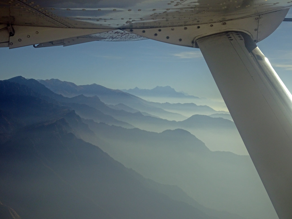
Mugu_2697 Flight from Jumla to Nepalgunj

Blood pressure
Topographic Map of Chilkhaya, Nepal
Find elevation by address:

Places near Chilkhaya, Nepal:
Phoi Mahadev
Nagma Bazar
Lihi
Salleri
Manma
Tatopani
Dailekh
Sinja Valley Hotel, Narakot
Kotbada
Sanigaun
Jumla
Mathillo Dungeshwor Bazar, Dailekh
Mugu
Rara
Rara Lake
Mid-western Region
Rowa
Surkhet
Bheri
Rukum Chaurjahari Airport
Recent Searches:
- Elevation of Fern Rd, Whitmore, CA, USA
- Elevation of 62 Abbey St, Marshfield, MA, USA
- Elevation of Fernwood, Bradenton, FL, USA
- Elevation of Felindre, Swansea SA5 7LU, UK
- Elevation of Leyte Industrial Development Estate, Isabel, Leyte, Philippines
- Elevation of W Granada St, Tampa, FL, USA
- Elevation of Pykes Down, Ivybridge PL21 0BY, UK
- Elevation of Jalan Senandin, Lutong, Miri, Sarawak, Malaysia
- Elevation of Bilohirs'k
- Elevation of 30 Oak Lawn Dr, Barkhamsted, CT, USA