Elevation of Josephburg, AB T8L, Canada
Location: Canada > Alberta > Division No. 11 > Strathcona County >
Longitude: -113.08170
Latitude: 53.7265447
Elevation: 629m / 2064feet
Barometric Pressure: 94KPa
Elevation Map:
Satellite Map:
Related Photos:
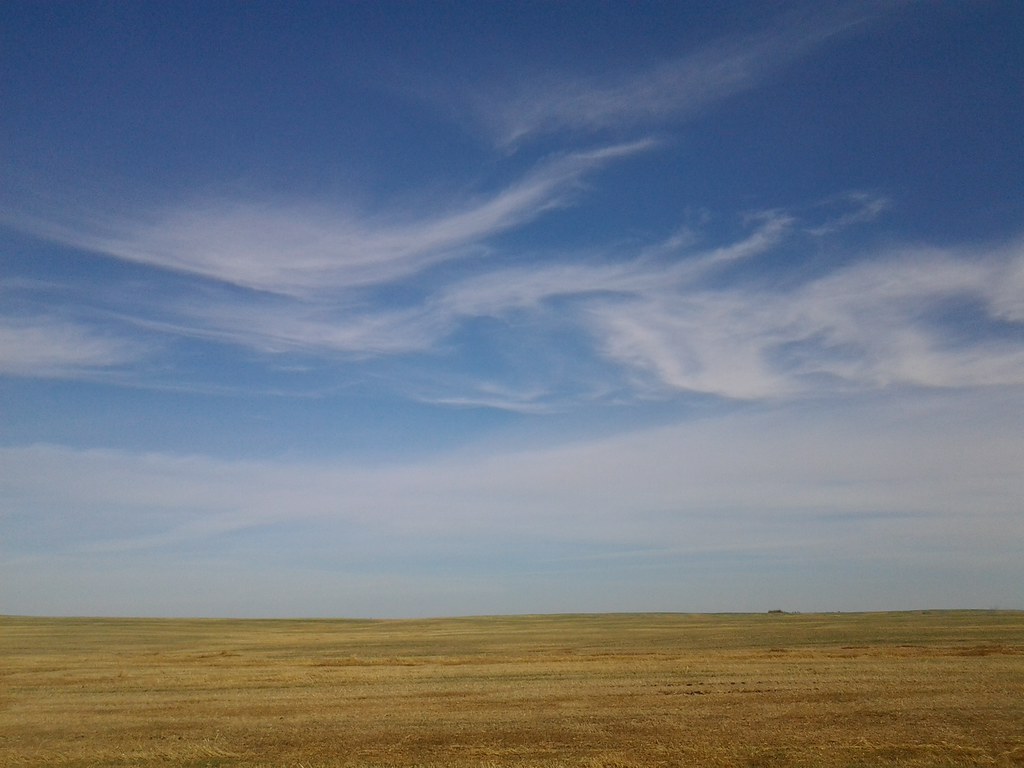
Big Sky
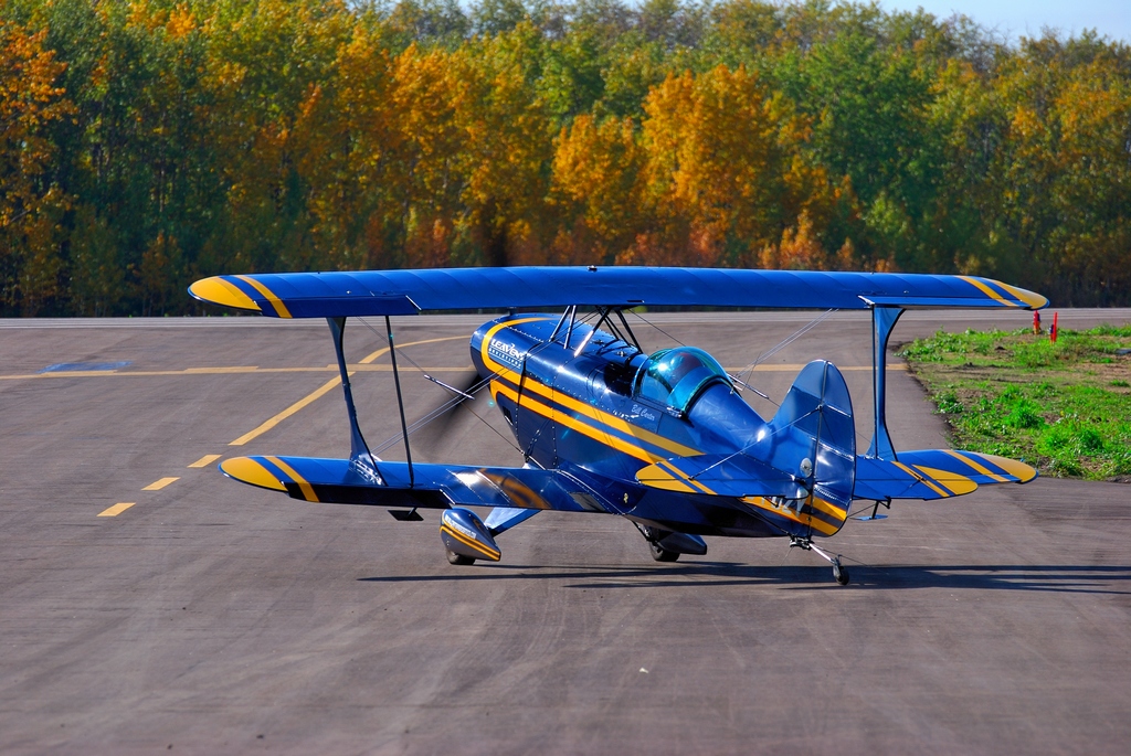
Pitts Special S2S
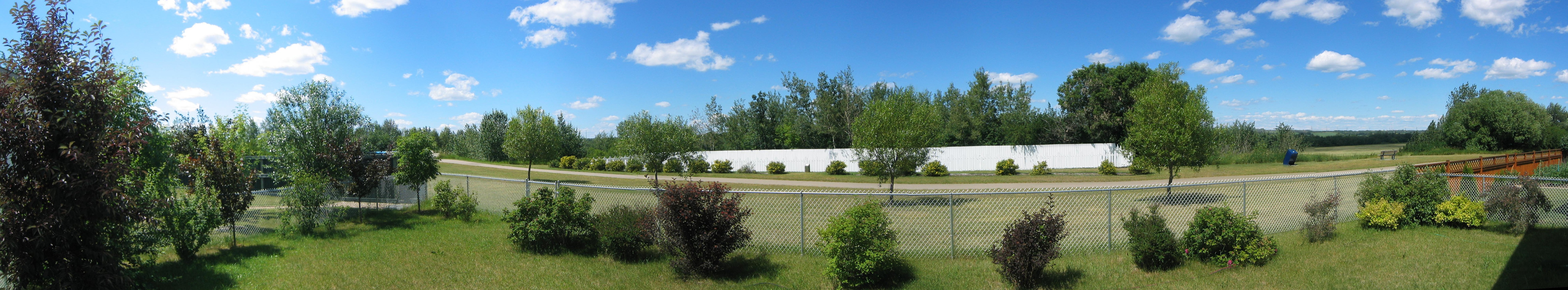
Panorama off the Back Deck
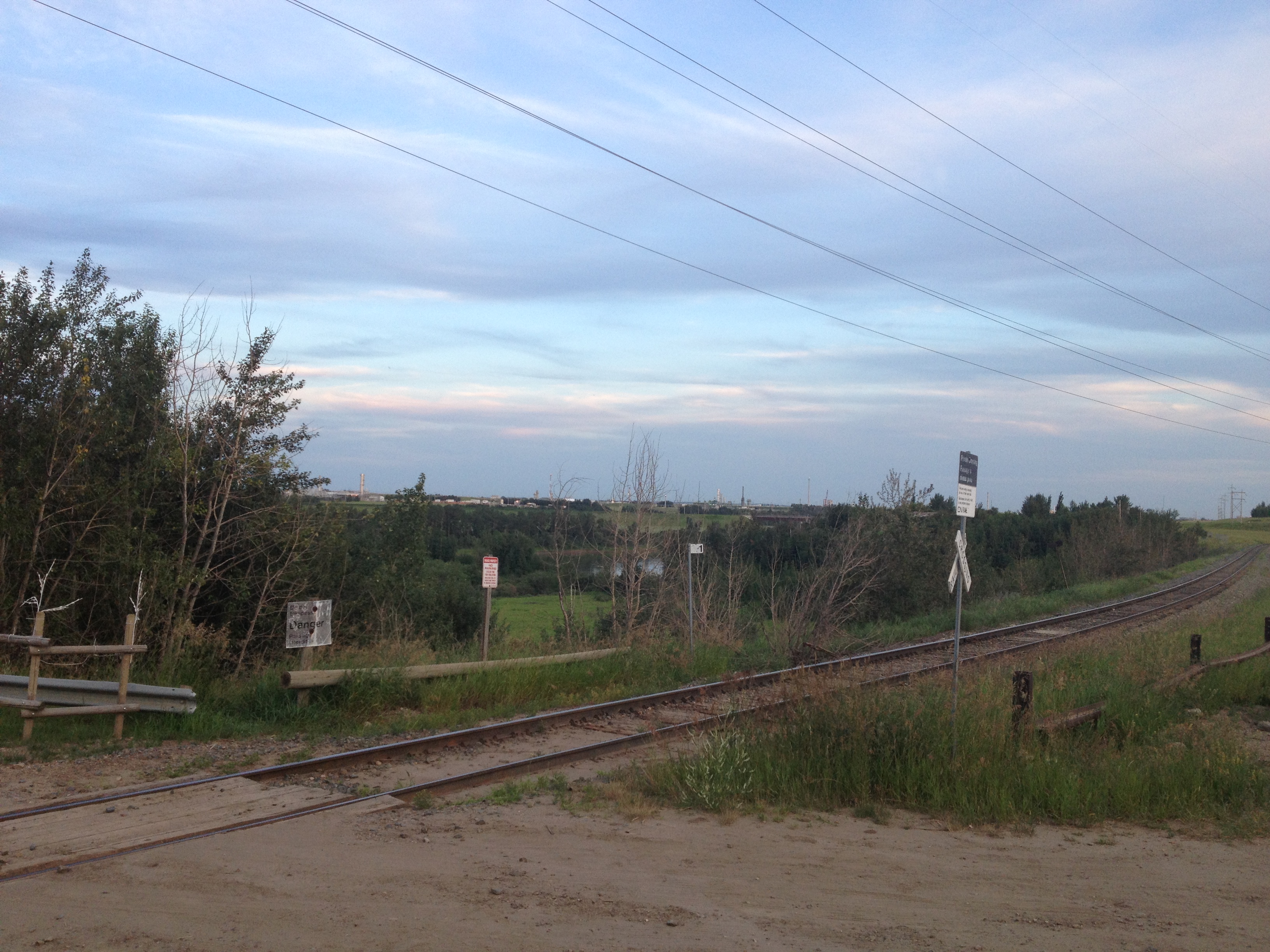
CN Beamer Spur 14/7/2014
CN Beamer Spur 14/7/2014
Le temps des semences
The Herd
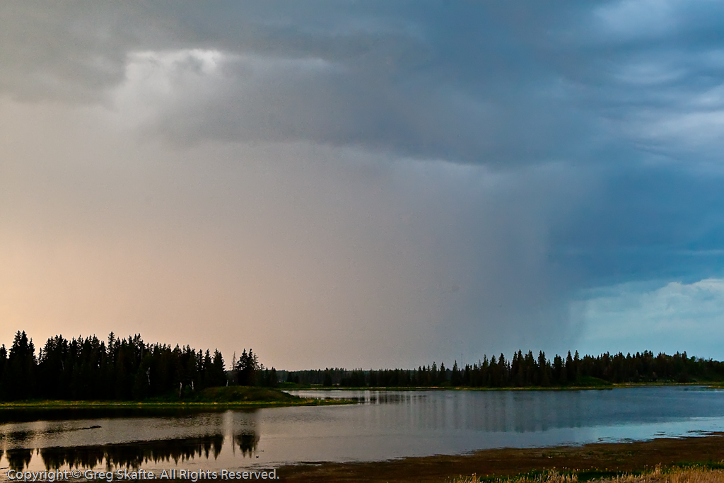
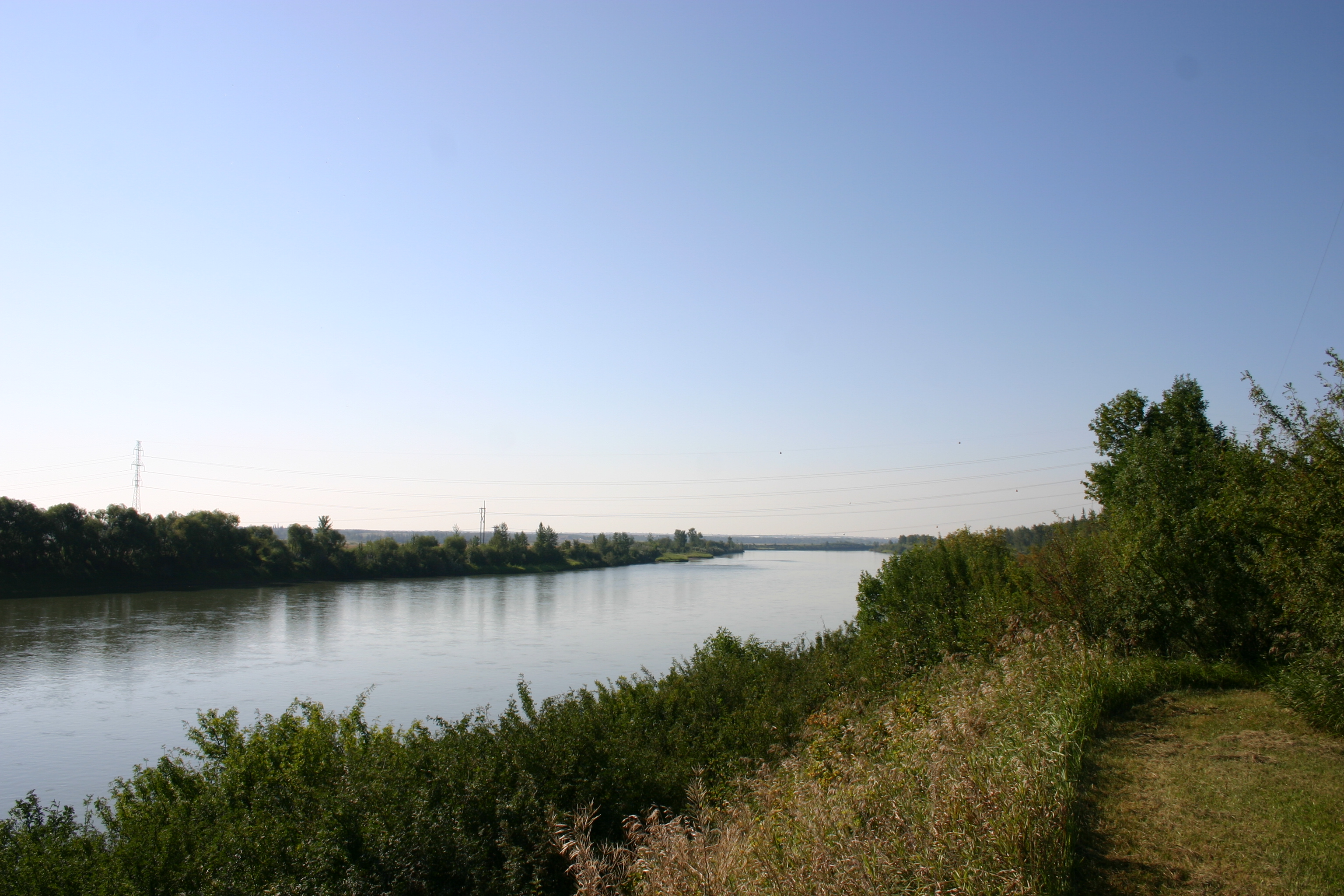
Sunset North Sask River_2409
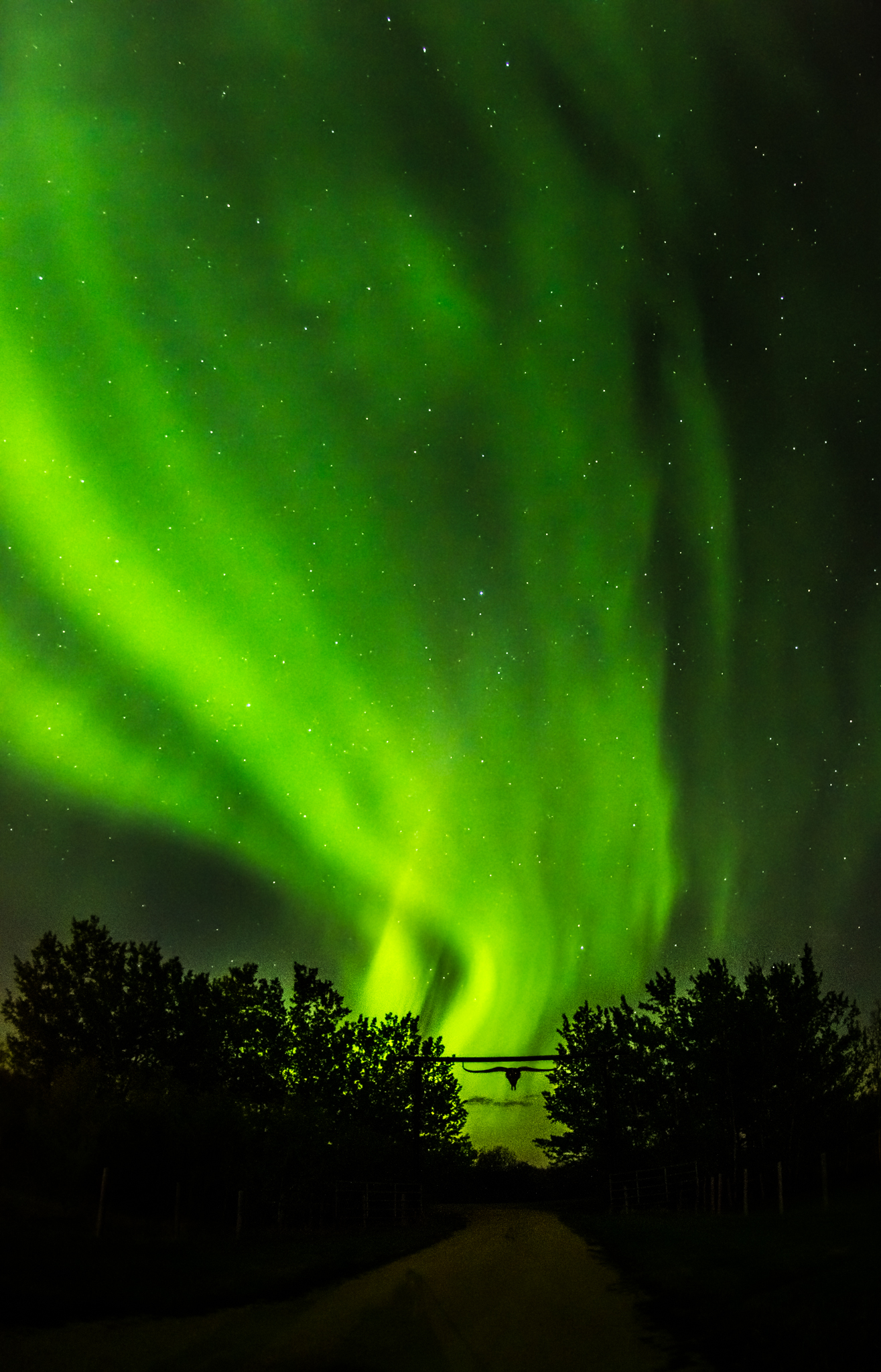
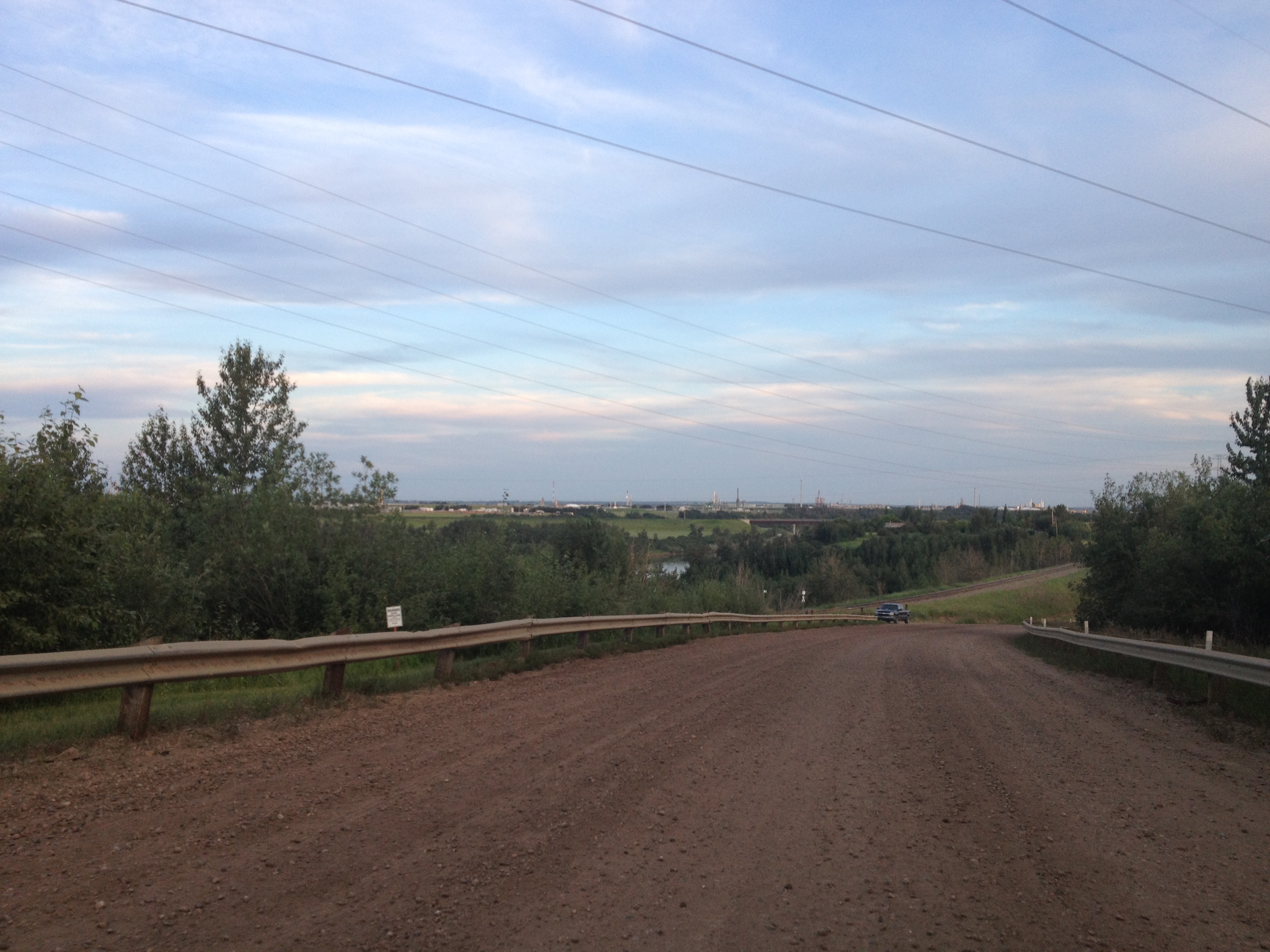
Aurora Driveway
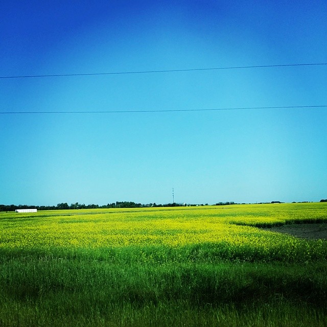
#canolafield #canola #field #farm #yellow #awesomeview #myphotography
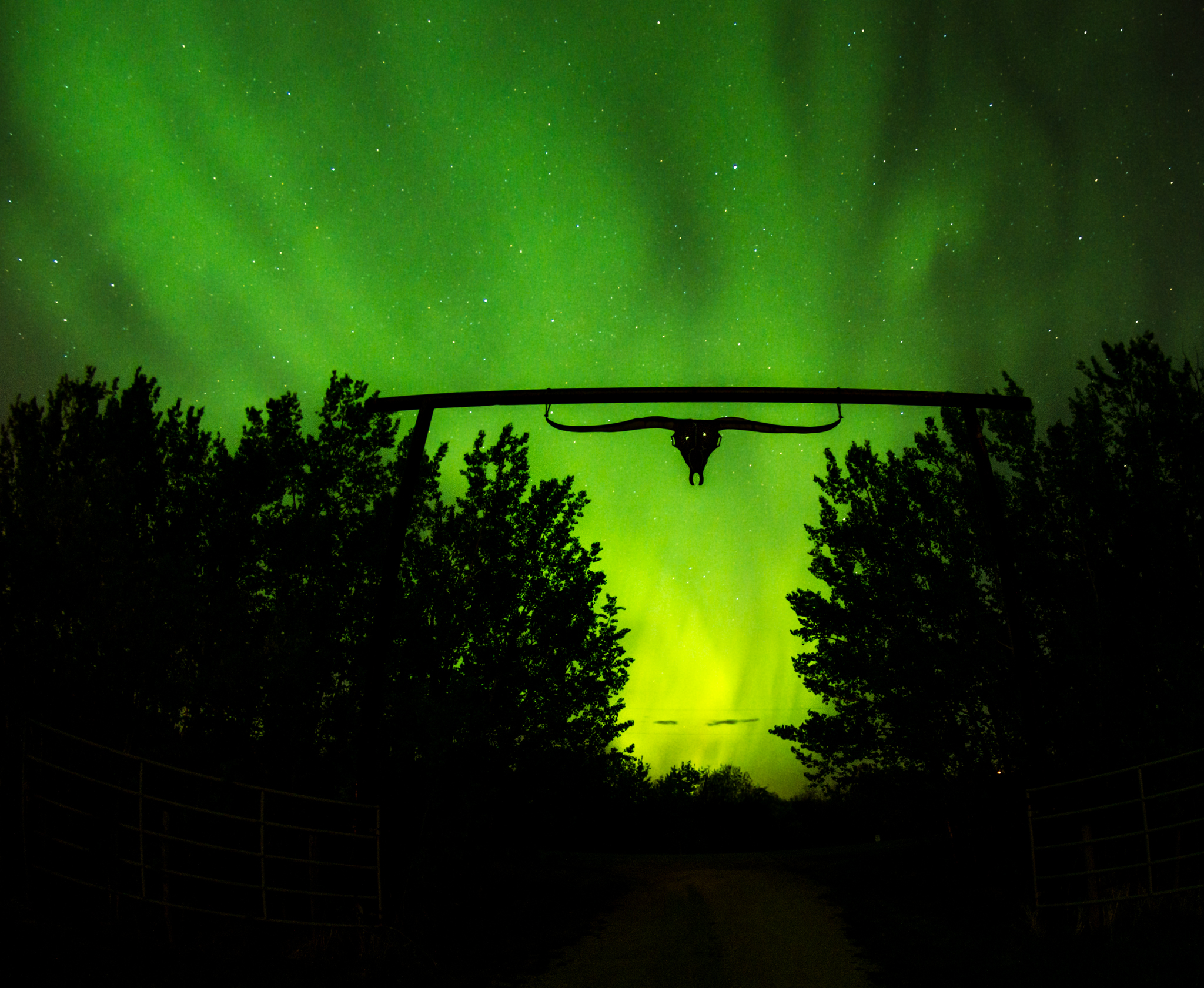
Angry Bull Aurora

Moon Halo
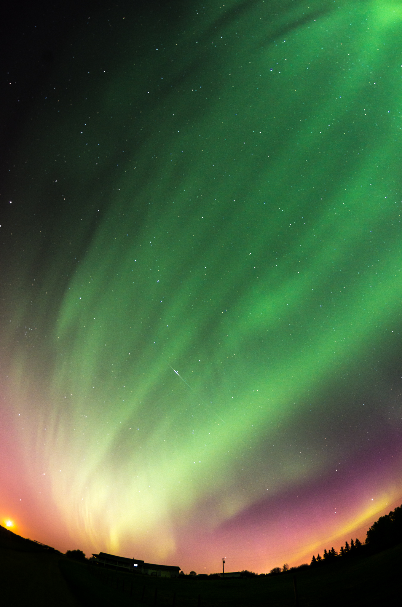
Aurora Satellite
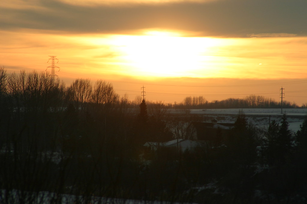
Sunset North Sask River_2408

Moon and Aurora

North West Mounted Police Fort
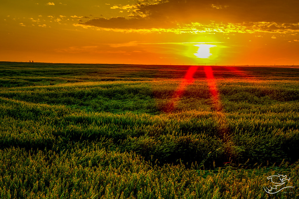
Wheat and Rays of Light
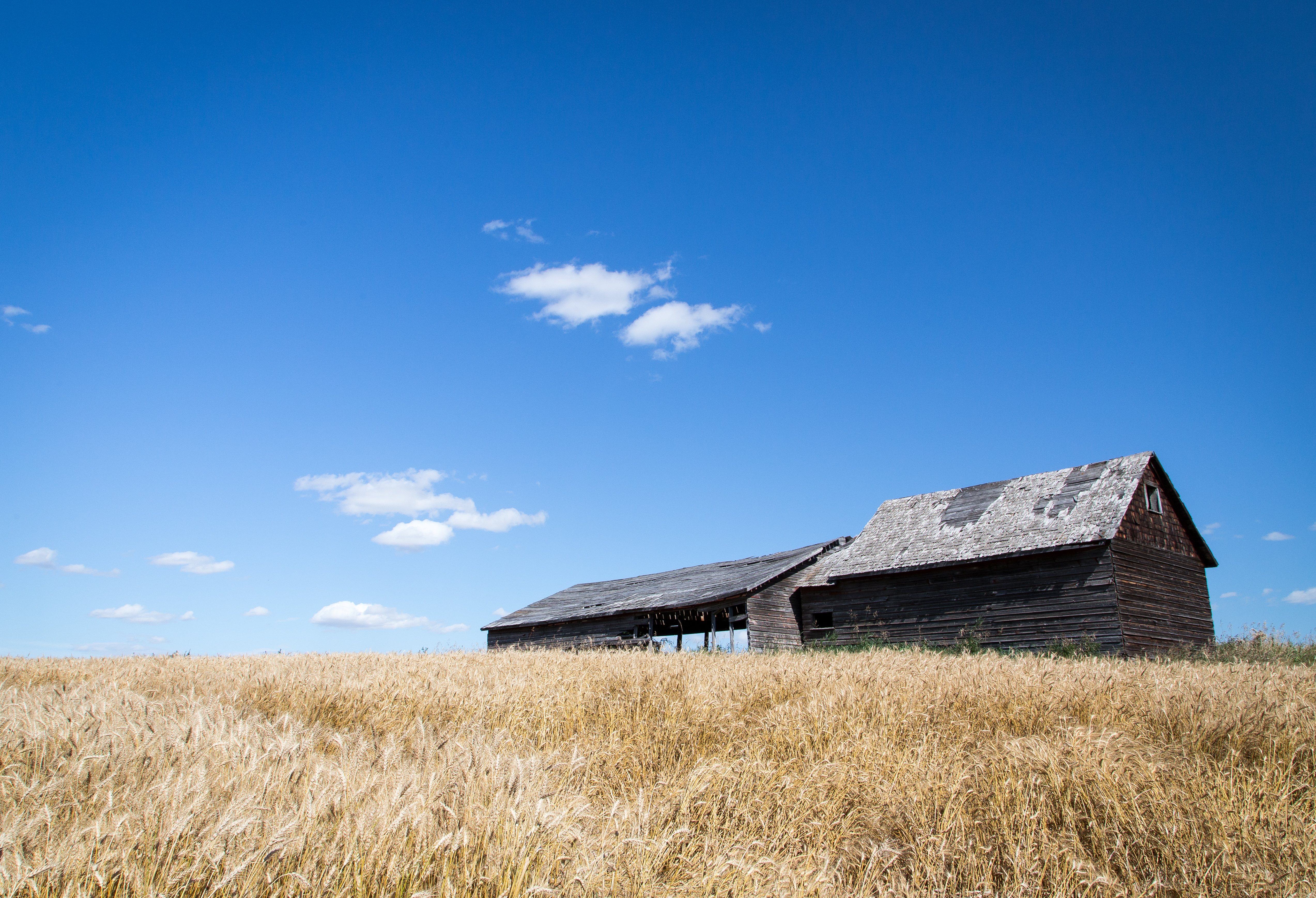
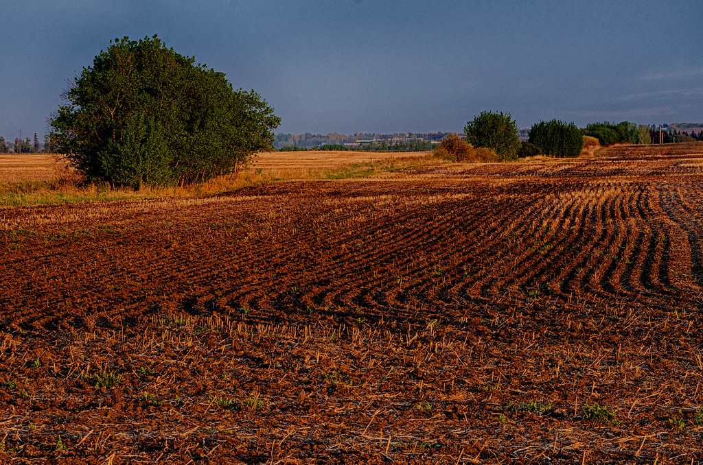
A harvest past
Bruderheim Morning
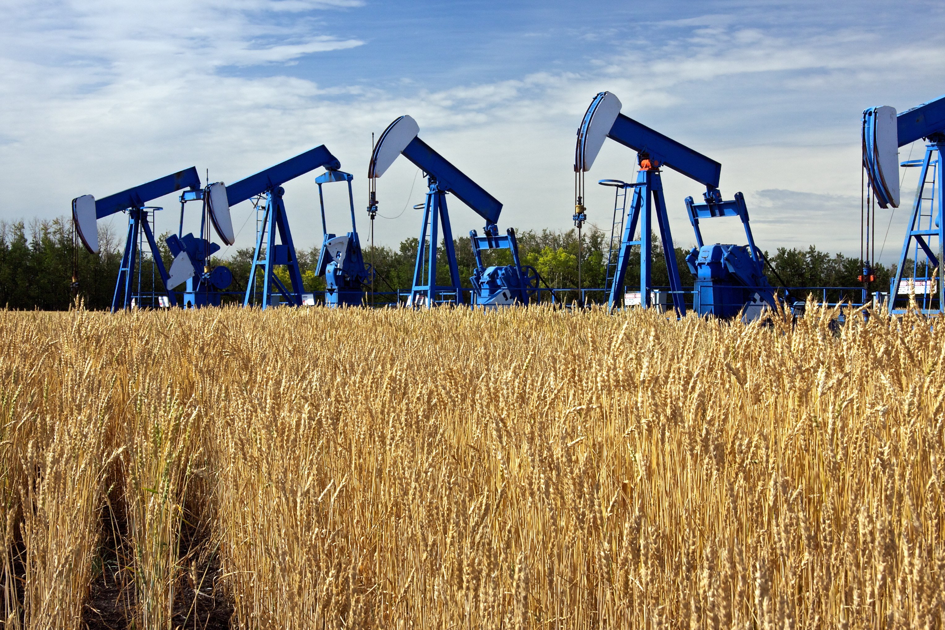
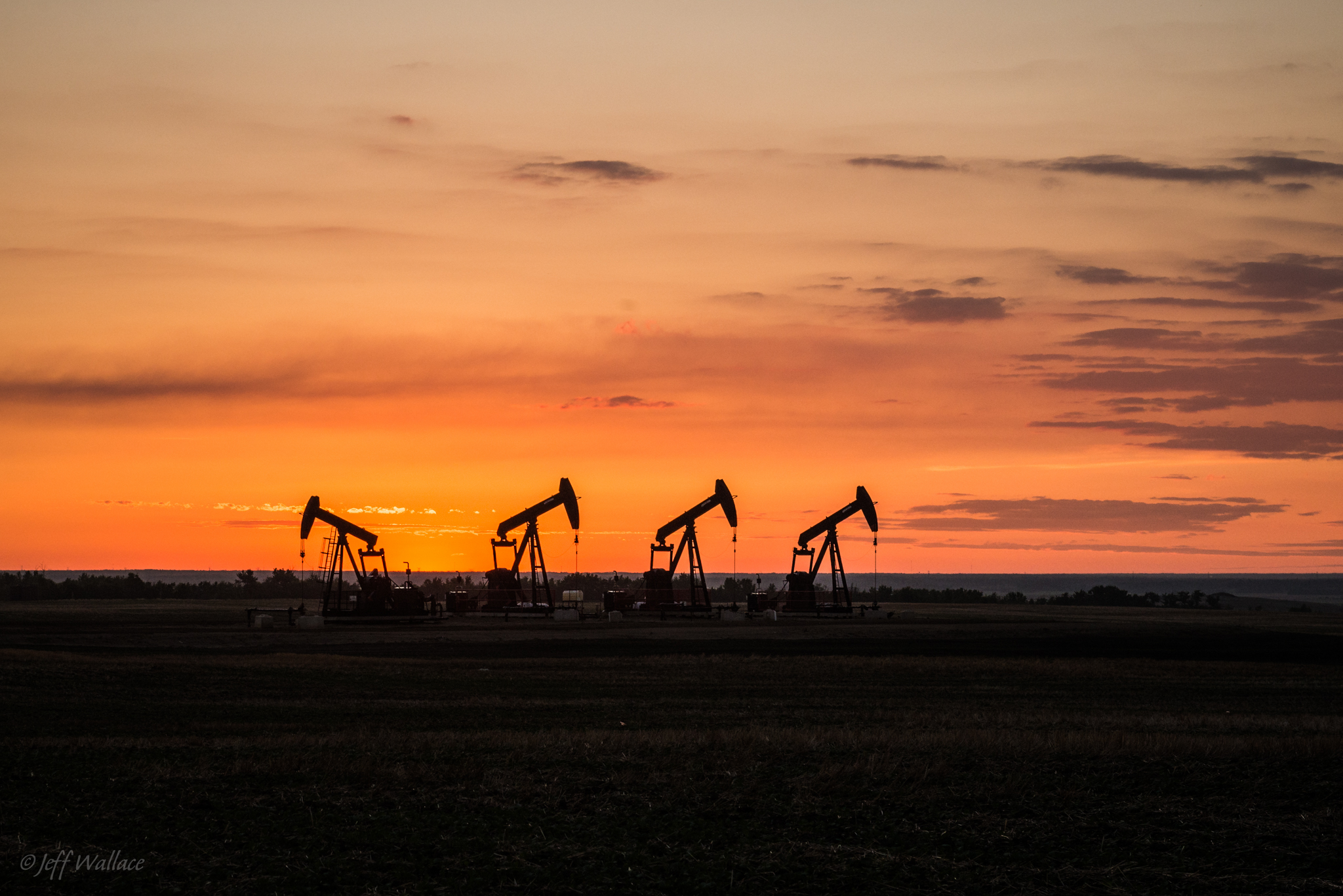
Oil Pumps
Personal-2009-06-14-Canon EOS-1D Mark III-0036-Edit

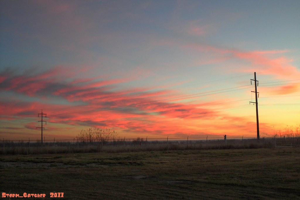
Strathcona County Sun Set
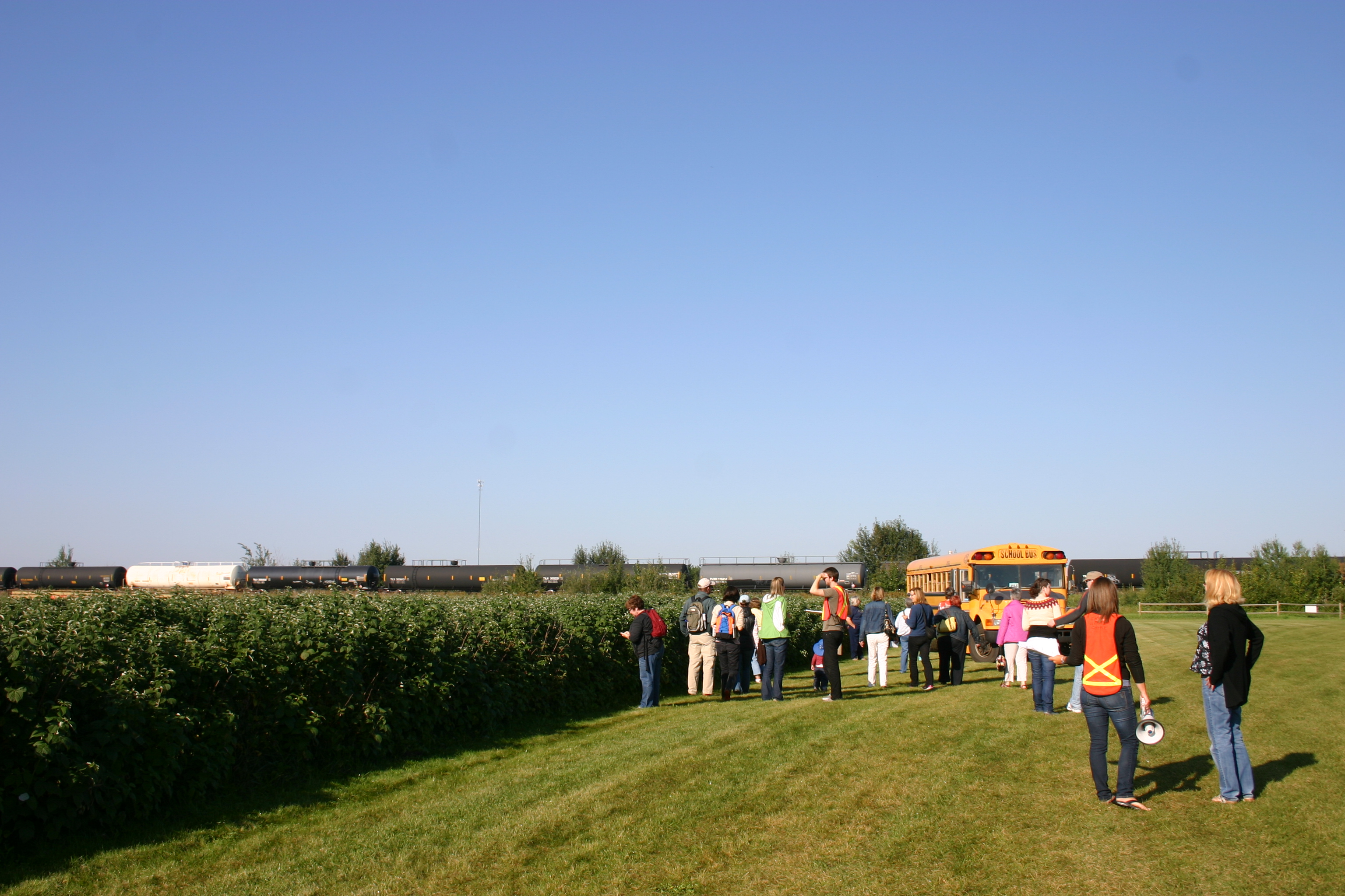
Farming in the City
Farming in the City
Farming in the City
Topographic Map of Josephburg, AB T8L, Canada
Find elevation by address:

Places in Josephburg, AB T8L, Canada:
Places near Josephburg, AB T8L, Canada:
4 2 St W, Fort Saskatchewan, AB T8L 4B9, Canada
Wild Rose Animal Clinic Ltd
35 Sienna Blvd
St, Fort Saskatchewan, AB T8L 2C5, Canada
Fort Saskatchewan
29 Greenfield Gate
8973 97 Ave
647 Meadowview Dr
Lindale Park, Strathcona County, AB T8E, Canada
66 Horton Pl
70 Horton Pl
Ardrossan
Pointe-Aux-Pins Estates, Fort Saskatchewan, AB T8L 4A1, Canada
30 Wilson Cl
Strathcona County
AB-21, Sherwood Park, AB T8H 0R3, Canada
117 Sumac Ln
85 Sumac Ln
367 Savoy Cres
44 Orchid Crescent
Recent Searches:
- Elevation of Corso Fratelli Cairoli, 35, Macerata MC, Italy
- Elevation of Tallevast Rd, Sarasota, FL, USA
- Elevation of 4th St E, Sonoma, CA, USA
- Elevation of Black Hollow Rd, Pennsdale, PA, USA
- Elevation of Oakland Ave, Williamsport, PA, USA
- Elevation of Pedrógão Grande, Portugal
- Elevation of Klee Dr, Martinsburg, WV, USA
- Elevation of Via Roma, Pieranica CR, Italy
- Elevation of Tavkvetili Mountain, Georgia
- Elevation of Hartfords Bluff Cir, Mt Pleasant, SC, USA