Elevation of John Matthews Rd, Limestone, TN, USA
Location: United States > Tennessee > Washington County > Limestone >
Longitude: -82.621985
Latitude: 36.202229
Elevation: -10000m / -32808feet
Barometric Pressure: 295KPa
Elevation Map:
Satellite Map:
Related Photos:

Earnest Fort House

Big Butt - Cold Spring Mountain

Big Butt - Cold Spring Mountain

Down By the Station

Feild View

Foggy View.

Ebenezer Methodist Church

The View Blows

View of Earnest Farms Area 05

Down in the Valley

Nolichucky River

Tennessee Landscape

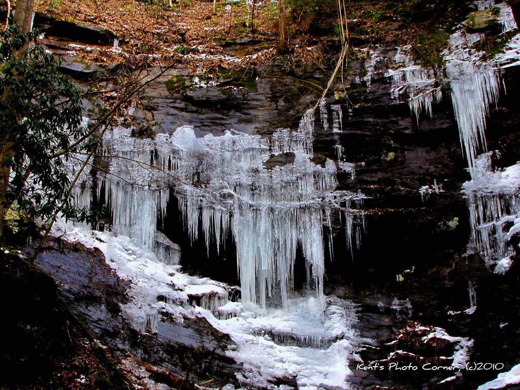
Small Cascade along Sill Branch

Small Fall on Long Arm Branch
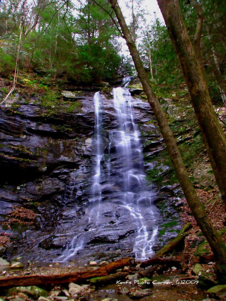
Sill Branch Falls

Clark's Creek

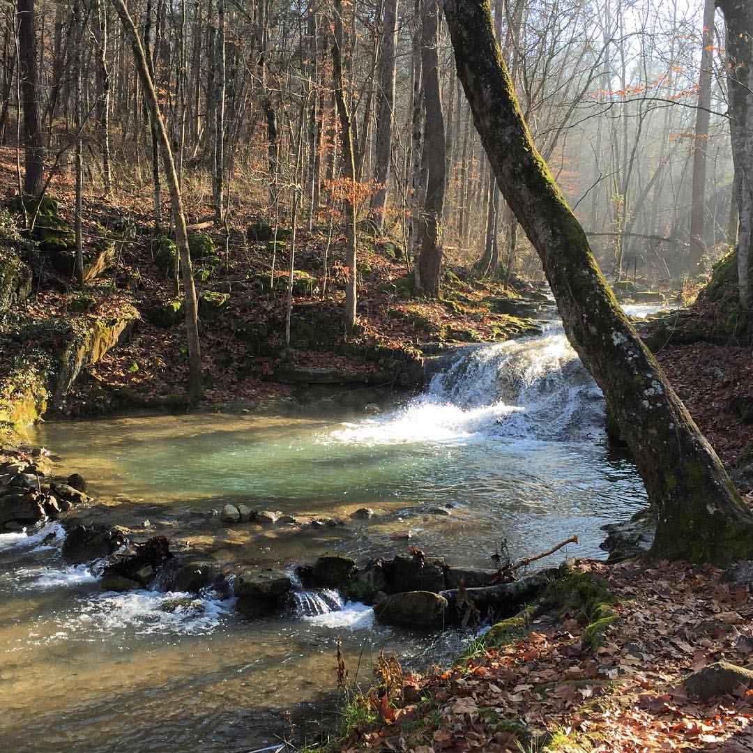
Side of Sill Branch Falls
Side of Sill Branch Falls

Clark's Creek
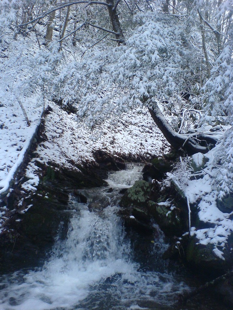
Sill Branch

Sill Branch Falls

Sill Branch Falls

East Tennessee Landscape (Greene County, Tennessee)

WP_20141123_063.JPG

WP_20151120_002 (2)
#oldmill

Sampson Mountain Wilderness - Horse Cove - Turkeypen Cove

#sunsets #sunset

Sill Branch Falls
Topographic Map of John Matthews Rd, Limestone, TN, USA
Find elevation by address:

Places near John Matthews Rd, Limestone, TN, USA:
509 Snapp Bridge Rd
885 Reece Rd
1775 Barren Valley Rd
261 Dunbar Rd
320 Mitchell Rd
275 Mitchell Rd
180 Ebenezer Loop
170 Ebenezer Loop
230 Ebenezer Loop
4200 Chuckey Pike
4200 Chuckey Pike
35 Earnest Rd
5640 Chuckey Pike
River Village Lane
Dunham Road
Dunham Road
584 Katie Ln
Old Jonesboro Road
Old Jonesboro Road
106 Faulkner Rd
Recent Searches:
- Elevation of Sunset Dr, Hernando, MS, USA
- Elevation of Lake Rotoroa, Tasman, New Zealand
- Elevation of George St, New Bern, NC, USA
- Elevation of Cove Rd, Jasper, GA, USA
- Elevation of Cove Rd, Jasper, GA, USA
- Elevation of South Yankee Meadow Road, Forest Road, Paragonah, UT, USA
- Elevation of SW Elderview Dr, Sherwood, OR, USA
- Elevation of Hickory St, Greenville, NC, USA
- Elevation of Poplar Ln, Guffey, CO, USA
- Elevation of Falling Spring Rd, Clyde, NC, USA