Elevation of Dunbar Rd, Chuckey, TN, USA
Location: United States > Tennessee > Greene County > Chuckey >
Longitude: -82.61848
Latitude: 36.153889
Elevation: 460m / 1509feet
Barometric Pressure: 96KPa
Elevation Map:
Satellite Map:
Related Photos:
2012.10.25.02 Erwin & Unicoi Co

Ebenezer Methodist Church

Appalachian Trail
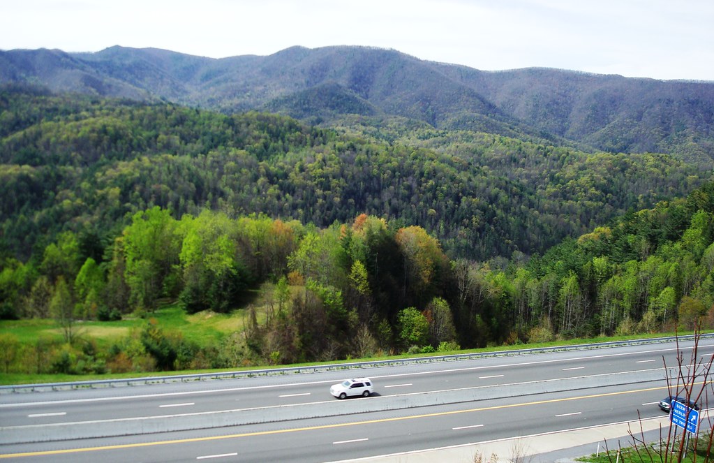
View of Earnest Farms Area 05
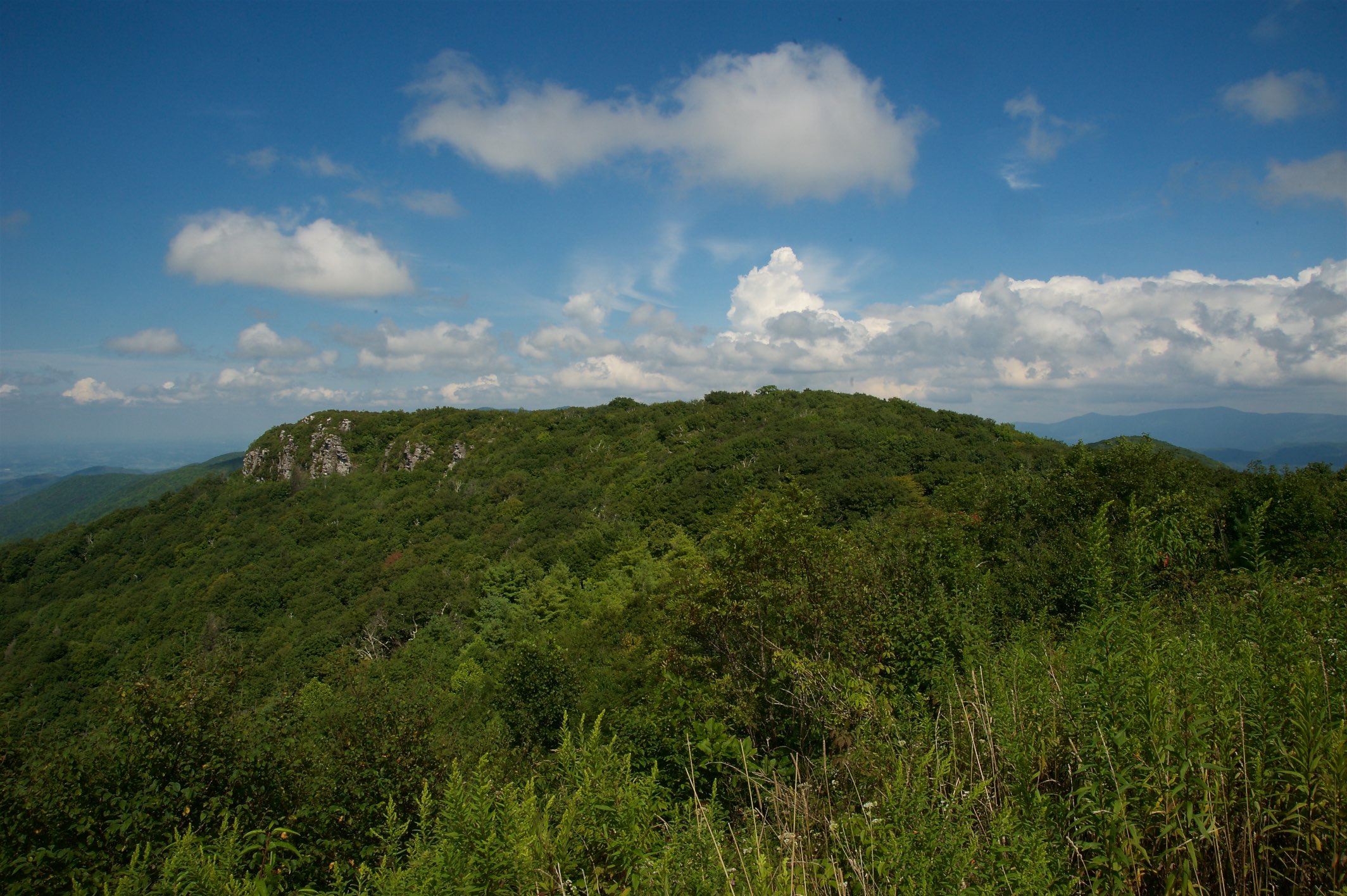
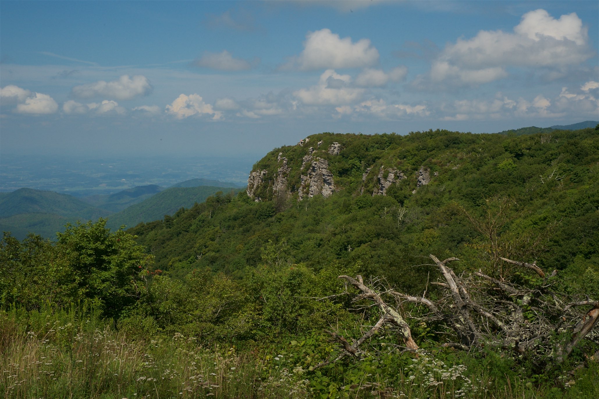
Whiterock Cliffs

Chuckey Doak High School

Big Butt - Cold Spring Mountain
Big Butt - Cold Spring Mountain
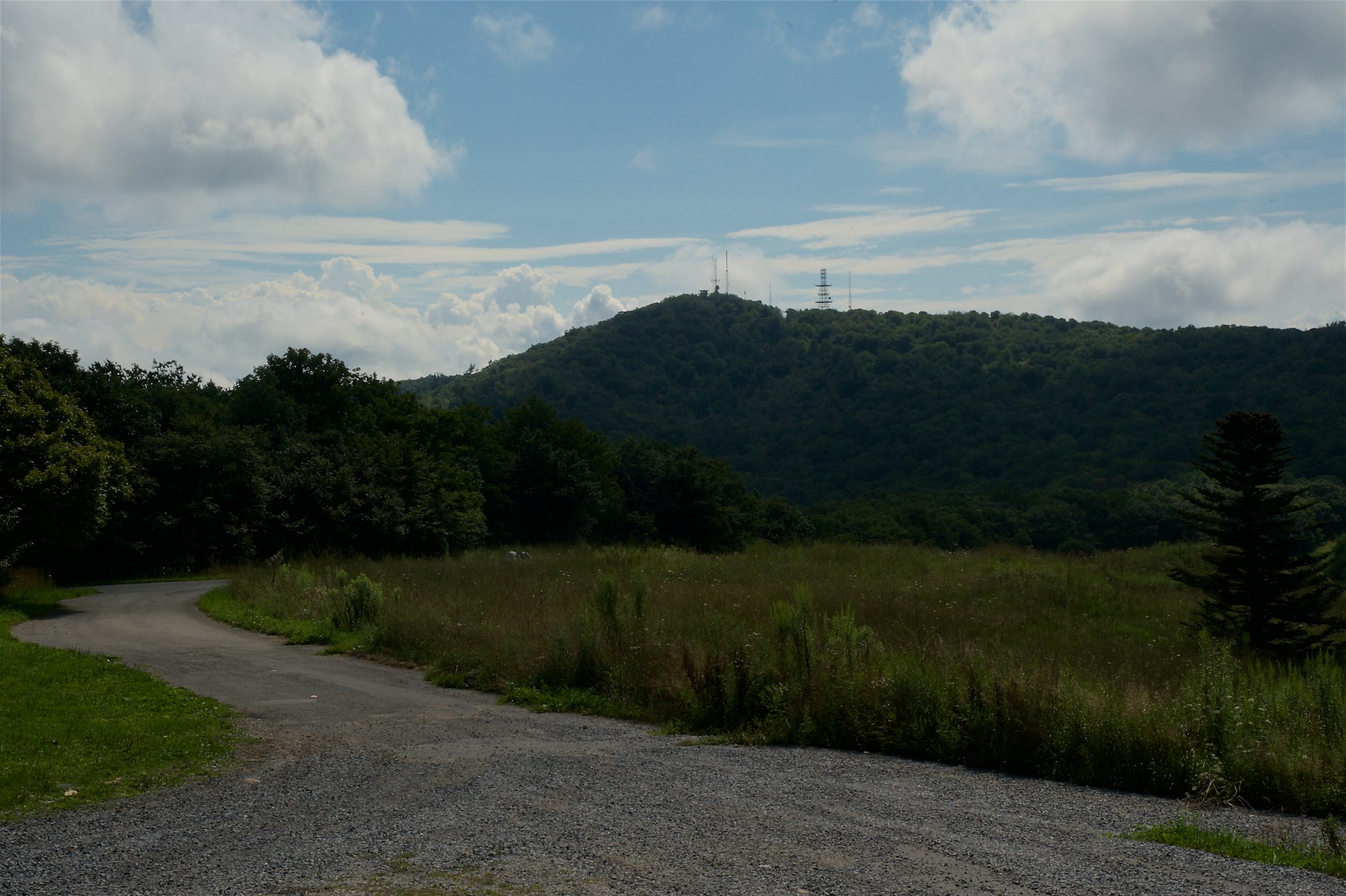
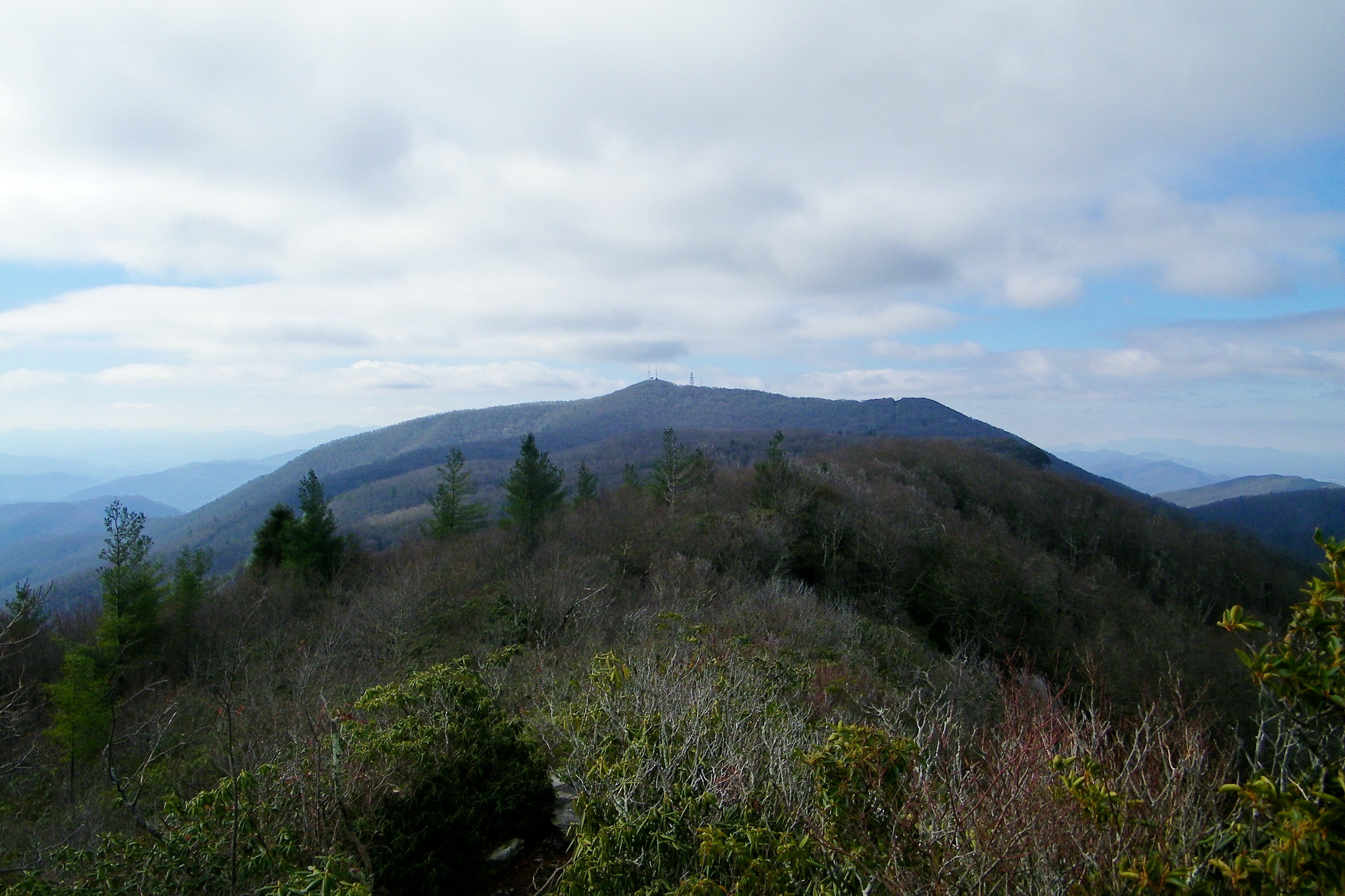
View of W4C/CM-028 - Camp Creek Bald
Blackstack Cliffs on Little Firescald Knob
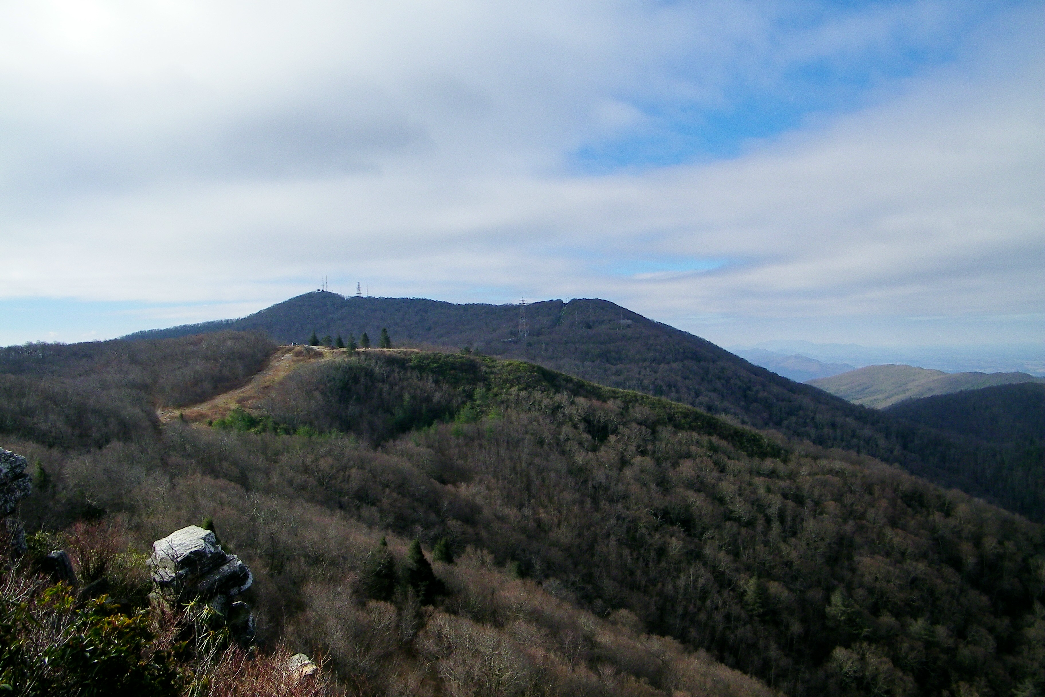
Big Firescald Knob

Blackstack Cliffs on Little Firescald Knob
Big Firescald Knob
2010.4.19.006402 Tooling Through Unicoi County

Blackstack Cliffs on Little Firescald Knob
View of Blackstack Cliffs
20100424-131516

20100424-131822
View of Blackstack Cliffs
View of Blackstack Cliffs
20100424-131824
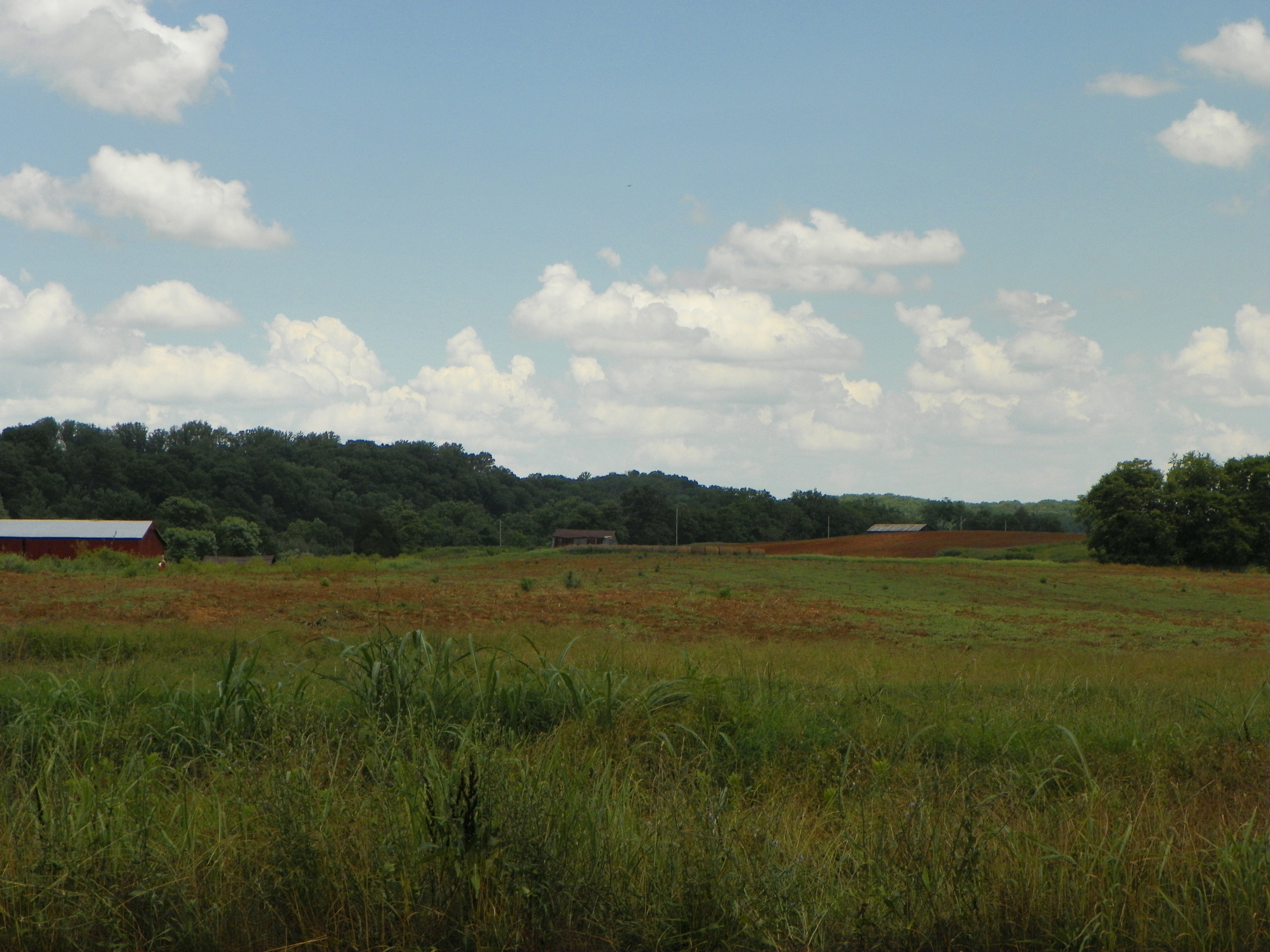
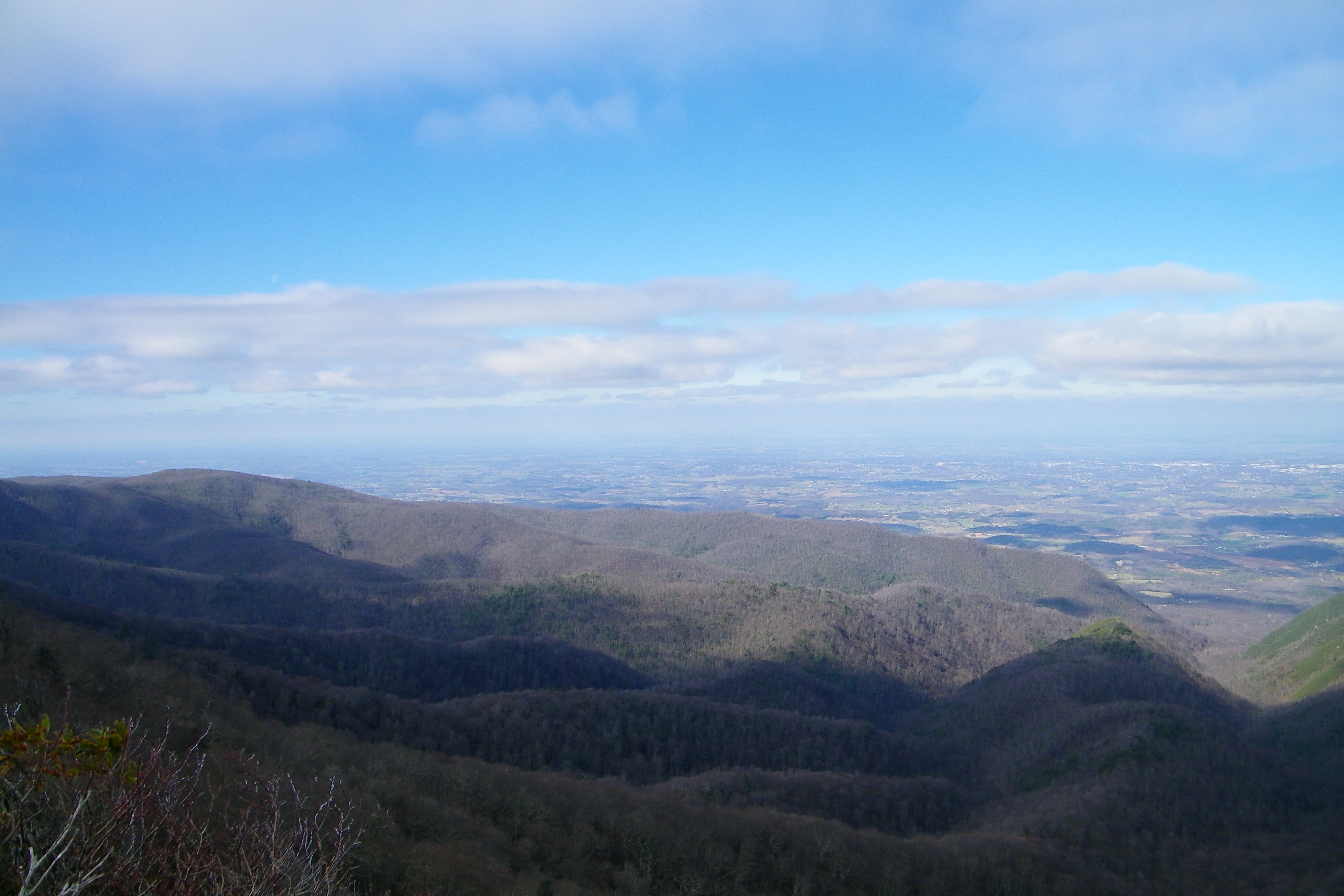
Down in the Valley
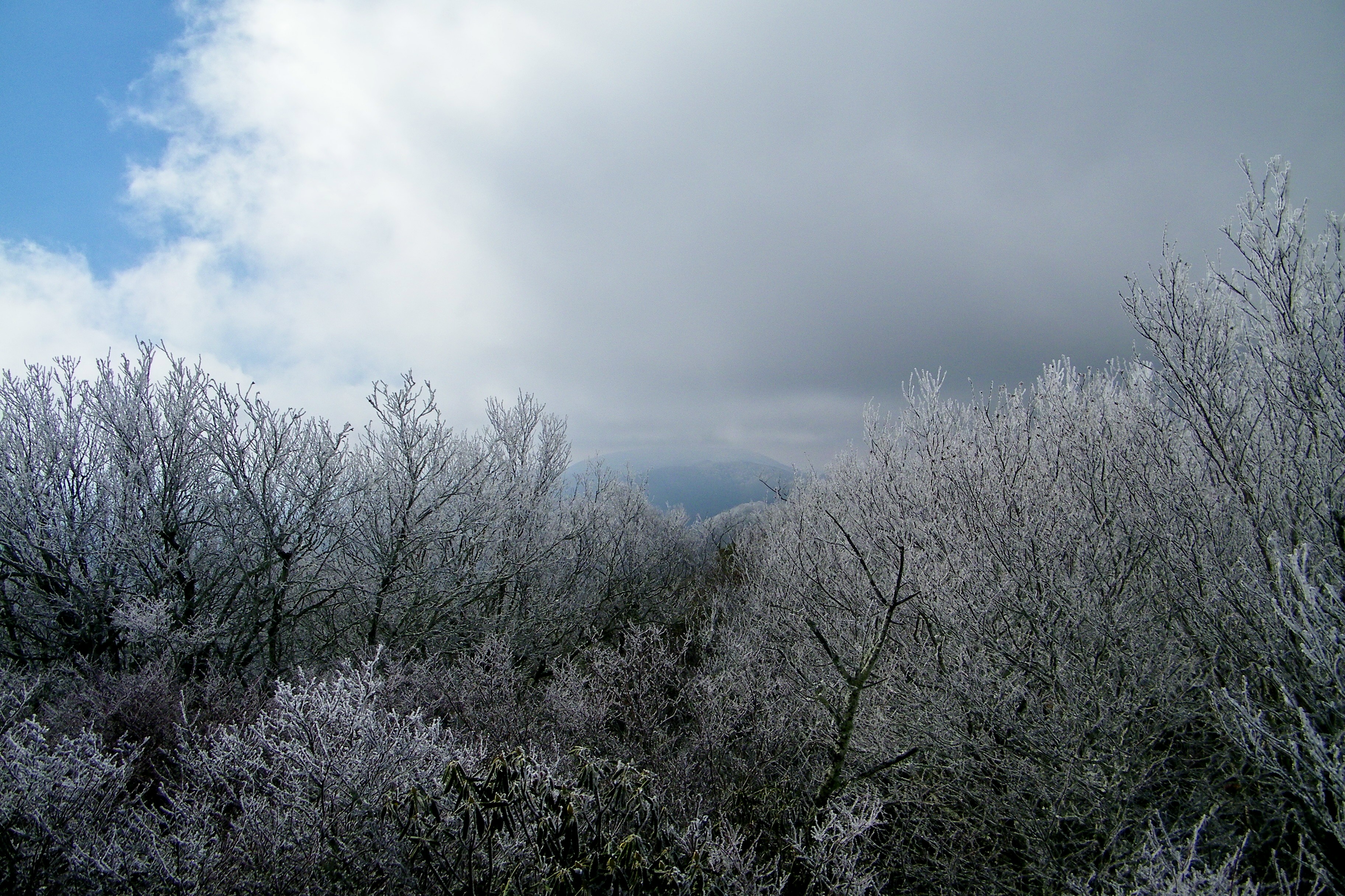
Autumn Frosting. . .

Rocky Fork

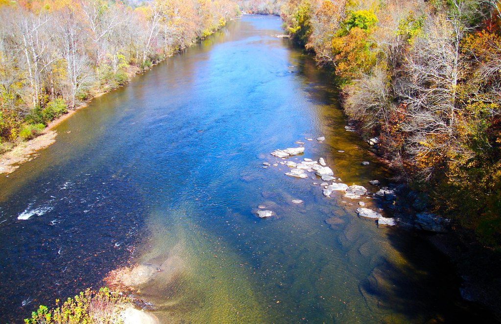
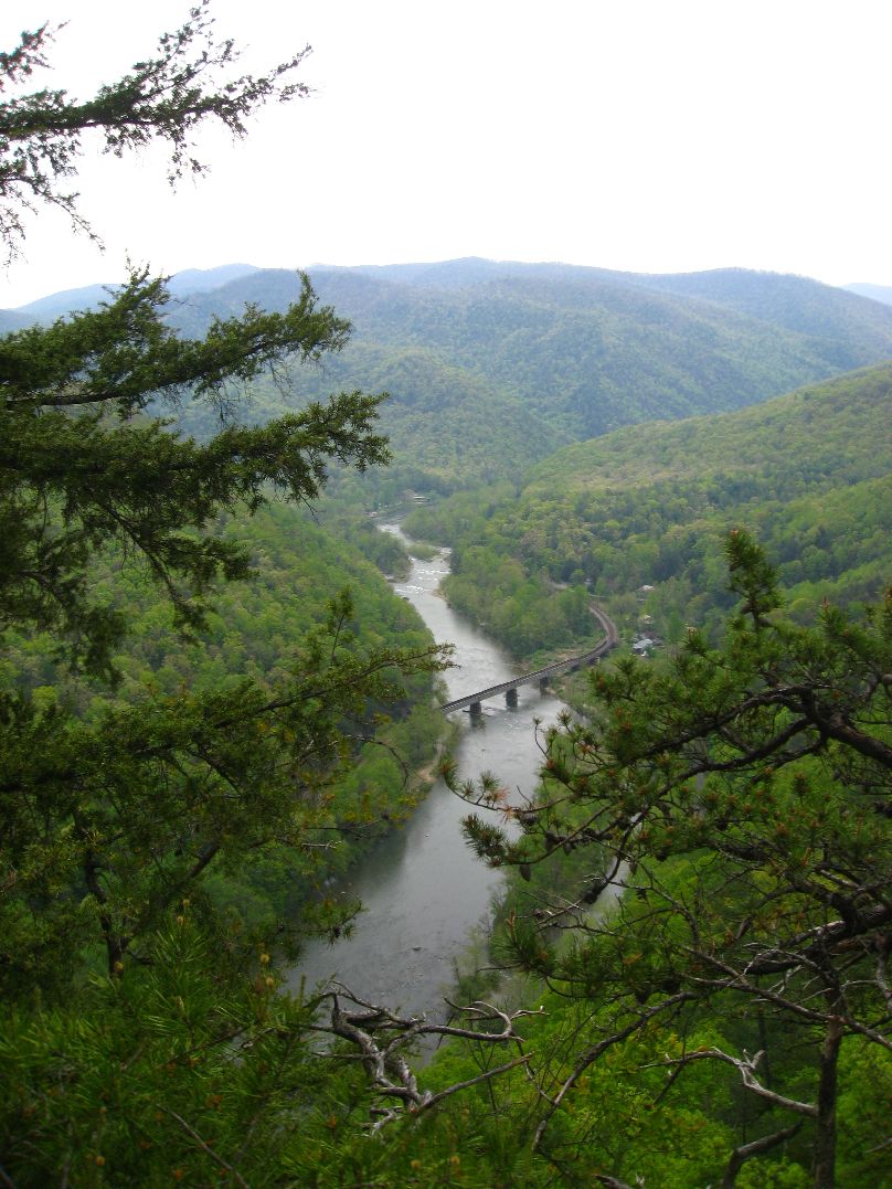
Nolichucky River

WP_20141124_040.JPG

Overlook in the Blue Ridge Mountains, NC/TN area
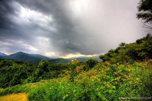
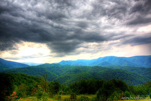
storm front moving over the blue ridge mountains...
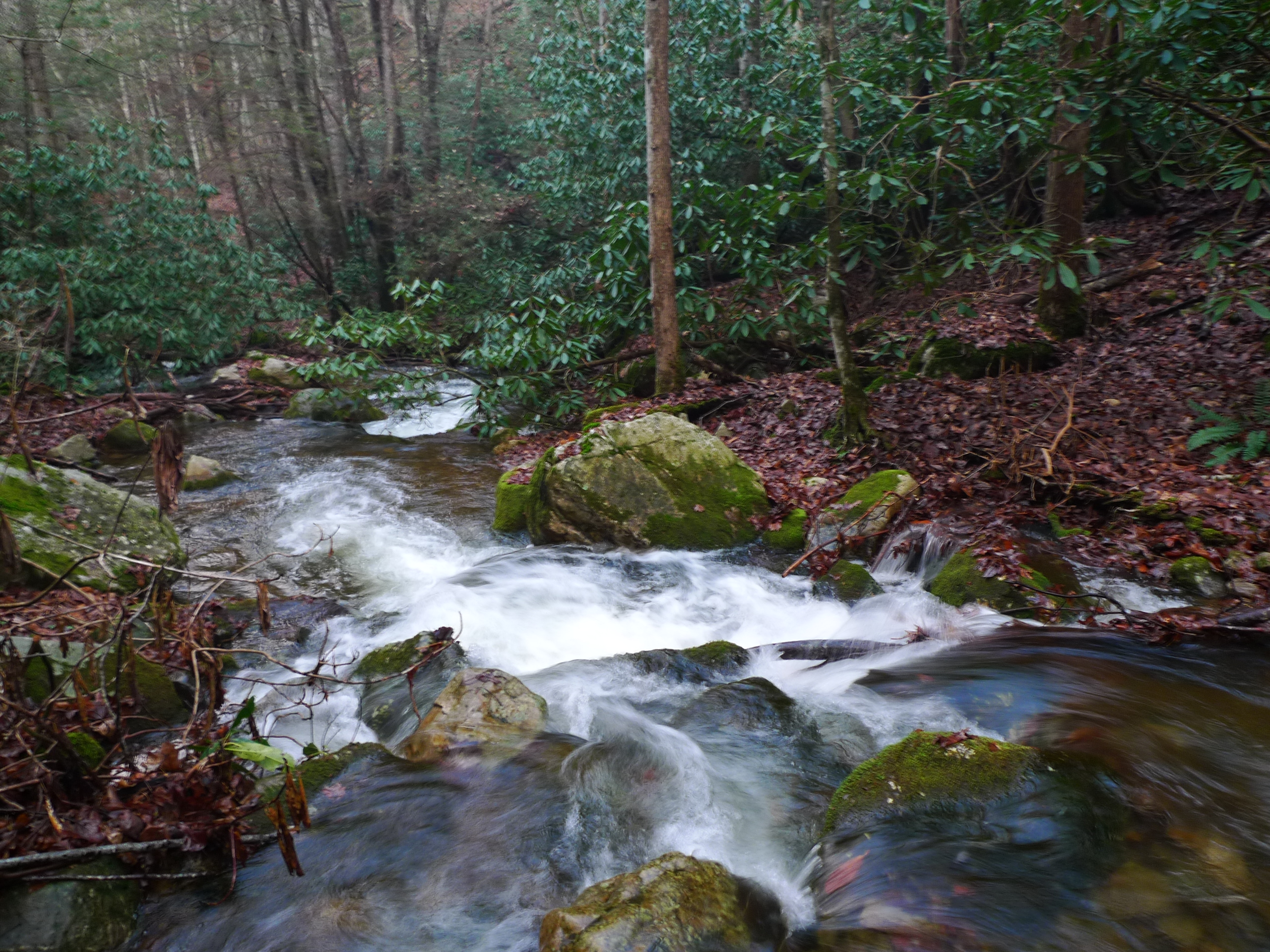
Squibb Creek

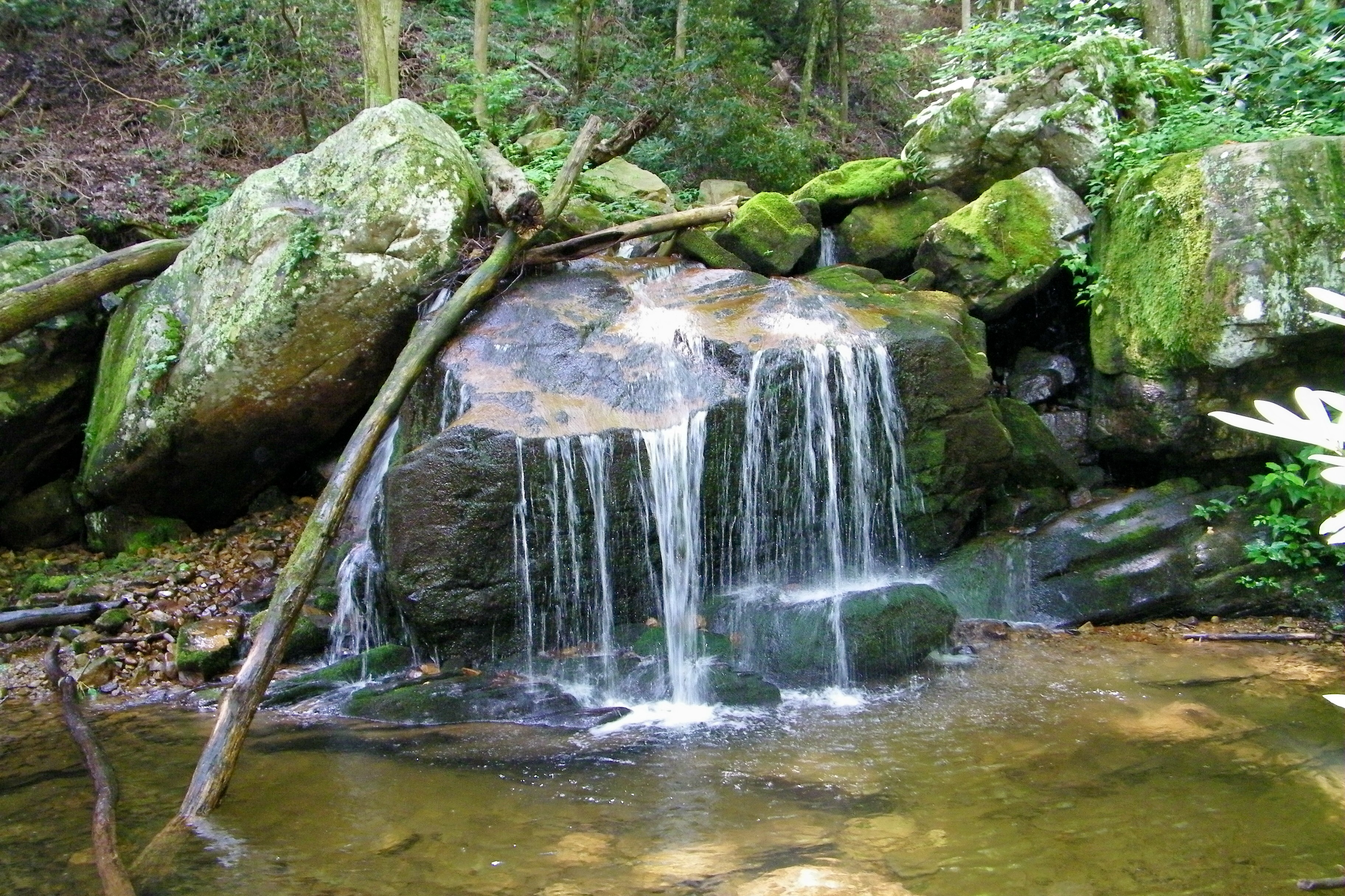
Petes Branch Falls
West Fork Dry Creek
Sampson Mountain Wilderness - Horse Cove - Turkeypen Cove
Small Cascade along Sill Branch
#sunsets #sunset

Sill Branch Falls
JFRM-2017-04-7044-Pano.jpg

Margarette Falls, TN

IMG_9063.JPG
Scribbles AT Hike 2011-05-06 @ 14-17-35
smoky mountain sunset...
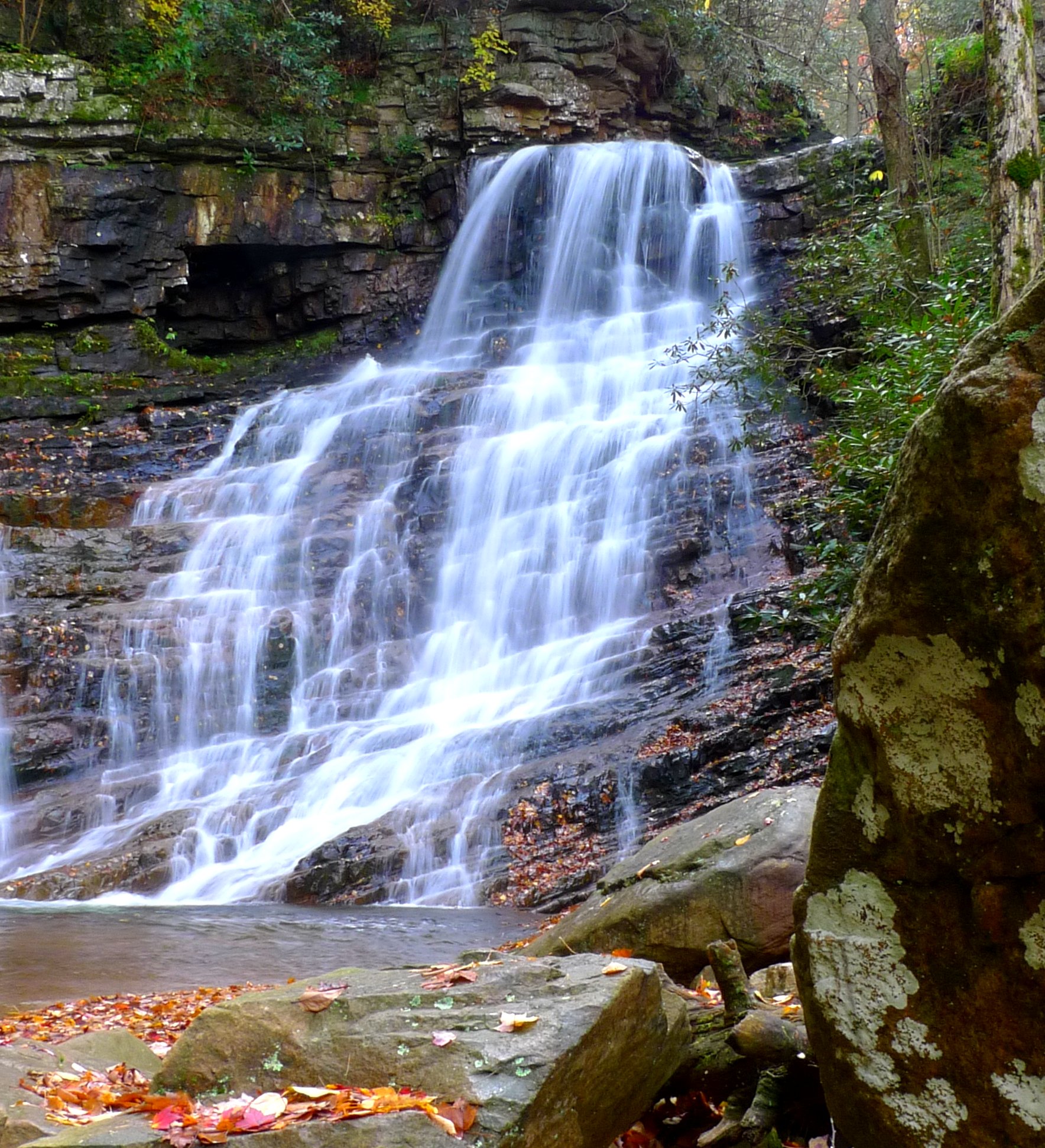
Margarette Falls
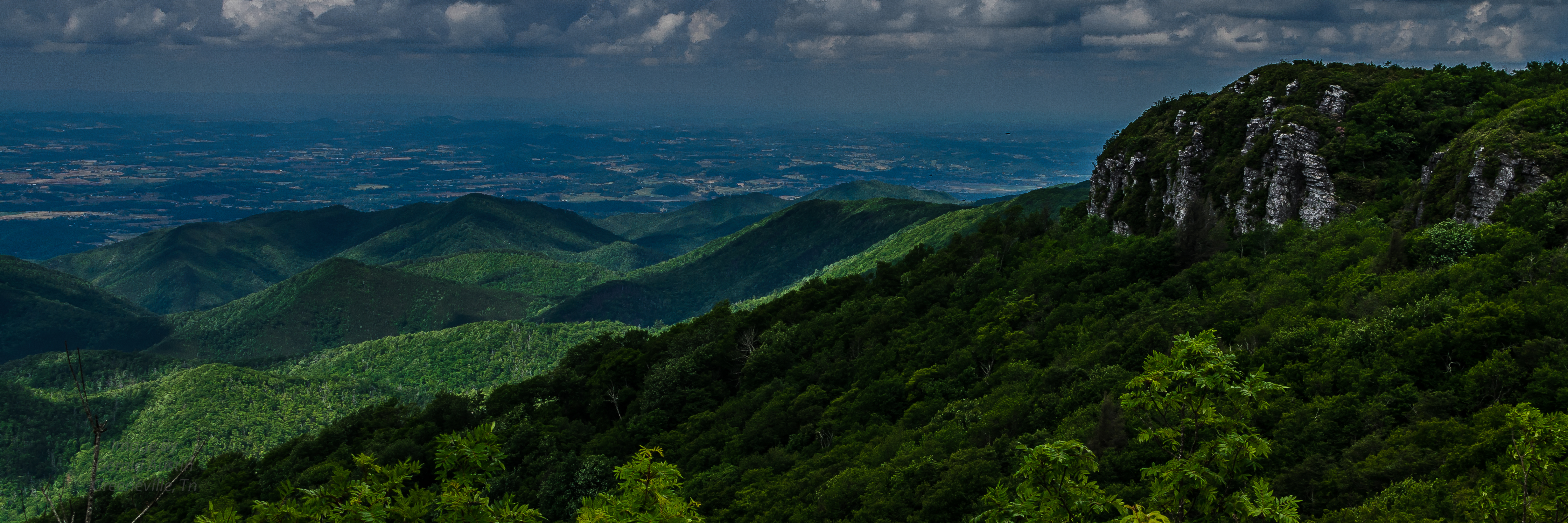
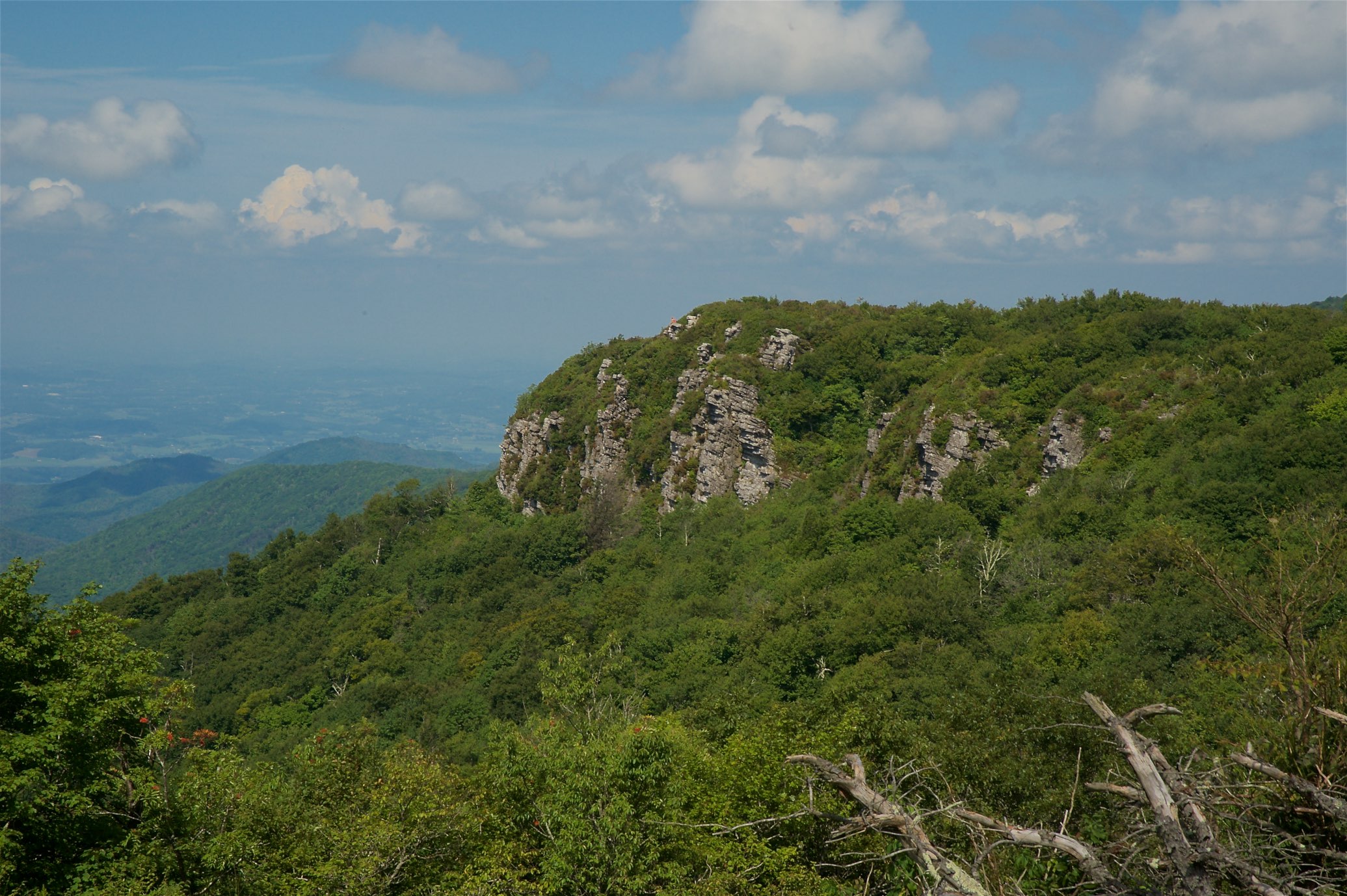
Blackstack Cliffs
Topographic Map of Dunbar Rd, Chuckey, TN, USA
Find elevation by address:

Places near Dunbar Rd, Chuckey, TN, USA:
509 Snapp Bridge Rd
1775 Barren Valley Rd
Dunham Road
Dunham Road
885 Reece Rd
173 John Matthews Rd
5640 Chuckey Pike
570 Anest Rd
320 Mitchell Rd
4200 Chuckey Pike
4200 Chuckey Pike
275 Mitchell Rd
35 Earnest Rd
584 Katie Ln
170 Ebenezer Loop
180 Ebenezer Loop
230 Ebenezer Loop
Old Jonesboro Road
Old Jonesboro Road
220 Jennings Creek Ln
Recent Searches:
- Elevation of Hobbyhorse Ct, Dover, DE, USA
- Elevation of Horseshoe Ln, Dahlonega, GA, USA
- Elevation of Village Point Dr, Daphne, AL, USA
- Elevation map of Kabardino-Balkarian Republic, Russia
- Elevation of Tyrnyauz, Kabardino-Balkarian Republic, Russia
- Elevation of Sunset Dr, Hernando, MS, USA
- Elevation of Lake Rotoroa, Tasman, New Zealand
- Elevation of George St, New Bern, NC, USA
- Elevation of Cove Rd, Jasper, GA, USA
- Elevation of Cove Rd, Jasper, GA, USA