Elevation of Jinsekikogen, Jinseki District, Hiroshima Prefecture, Japan
Location: Japan > Hiroshima Prefecture > Jinseki District >
Longitude: 133.247652
Latitude: 34.7036614
Elevation: 519m / 1703feet
Barometric Pressure: 95KPa
Elevation Map:
Satellite Map:
Related Photos:

帝釈峡15・Taisyakukyo Valley
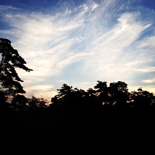
夜明け前の空。今日も暑くなりそうだ。

_DSC3967.jpg

帝釈峡2・Taisyakukyo Valley

_DSC4056.jpg

_DSC4170.jpg

_DSC4127.jpg

_DSC4005.jpg

_DSC4112.jpg

_DSC3927.jpg

帝釈峡4・Taisyakukyo Valley

_DSC4152.jpg

_DSC4151.jpg

帝釈峡3・Taisyakukyo Valley

_DSC4047.jpg

_DSC3955.jpg

帝釈峡9・Taisyakukyo Valley

帝釈峡5・Taisyakukyo Valley

_DSC4160.jpg

帝釈峡11・Taisyakukyo Valley

_DSC4014.jpg
Topographic Map of Jinsekikogen, Jinseki District, Hiroshima Prefecture, Japan
Find elevation by address:

Places in Jinsekikogen, Jinseki District, Hiroshima Prefecture, Japan:
Yasuda, Jinsekikōgen-chō, Jinseki-gun, Hiroshima-ken -, Japan
Shimotoyomatsu, Jinsekikōgen-chō, Jinseki-gun, Hiroshima-ken -, Japan
Japan, 〒- Hiroshima-ken, Jinseki-gun, Jinsekikōgen-chō, Yuki, 乙1776−4
甲1418
Places near Jinsekikogen, Jinseki District, Hiroshima Prefecture, Japan:
Jinseki District
Yasuda, Jinsekikōgen-chō, Jinseki-gun, Hiroshima-ken -, Japan
甲1418
Japan, 〒- Hiroshima-ken, Jinseki-gun, Jinsekikōgen-chō, Yuki, 乙1776−4
Shimotoyomatsu, Jinsekikōgen-chō, Jinseki-gun, Hiroshima-ken -, Japan
861 Jōgechō Jōge
府中市役所上下支所
Fuchu
Shinichichō Ōaza Sagata, Fukuyama-shi, Hiroshima-ken -, Japan
1175 Tōjōchō Kawahigashi
庄原市役所東城支所
Gōbunchō, Fukuyama-shi, Hiroshima-ken -, Japan
-2 Haradachō Obara, Onomichi-shi, Hiroshima-ken -, Japan
尾道市役所御調支所
245 Mitsugichōichi
Kannabechō Ōaza Kawaminami, Fukuyama-shi, Hiroshima-ken -, Japan
Sera
13-9 Kōzan, Sera-chō, Sera-gun, Hiroshima-ken -, Japan
Minetachō, Shōbara-shi, Hiroshima-ken -, Japan
Hongō, Sera-chō, Sera-gun, Hiroshima-ken -, Japan
Recent Searches:
- Elevation of Congressional Dr, Stevensville, MD, USA
- Elevation of Bellview Rd, McLean, VA, USA
- Elevation of Stage Island Rd, Chatham, MA, USA
- Elevation of Shibuya Scramble Crossing, 21 Udagawacho, Shibuya City, Tokyo -, Japan
- Elevation of Jadagoniai, Kaunas District Municipality, Lithuania
- Elevation of Pagonija rock, Kranto 7-oji g. 8"N, Kaunas, Lithuania
- Elevation of Co Rd 87, Jamestown, CO, USA
- Elevation of Tenjo, Cundinamarca, Colombia
- Elevation of Côte-des-Neiges, Montreal, QC H4A 3J6, Canada
- Elevation of Bobcat Dr, Helena, MT, USA