Elevation of Sera, Sera District, Hiroshima Prefecture, Japan
Location: Japan > Hiroshima Prefecture > Sera District >
Longitude: 133.056651
Latitude: 34.5868282
Elevation: 337m / 1106feet
Barometric Pressure: 97KPa
Elevation Map:
Satellite Map:
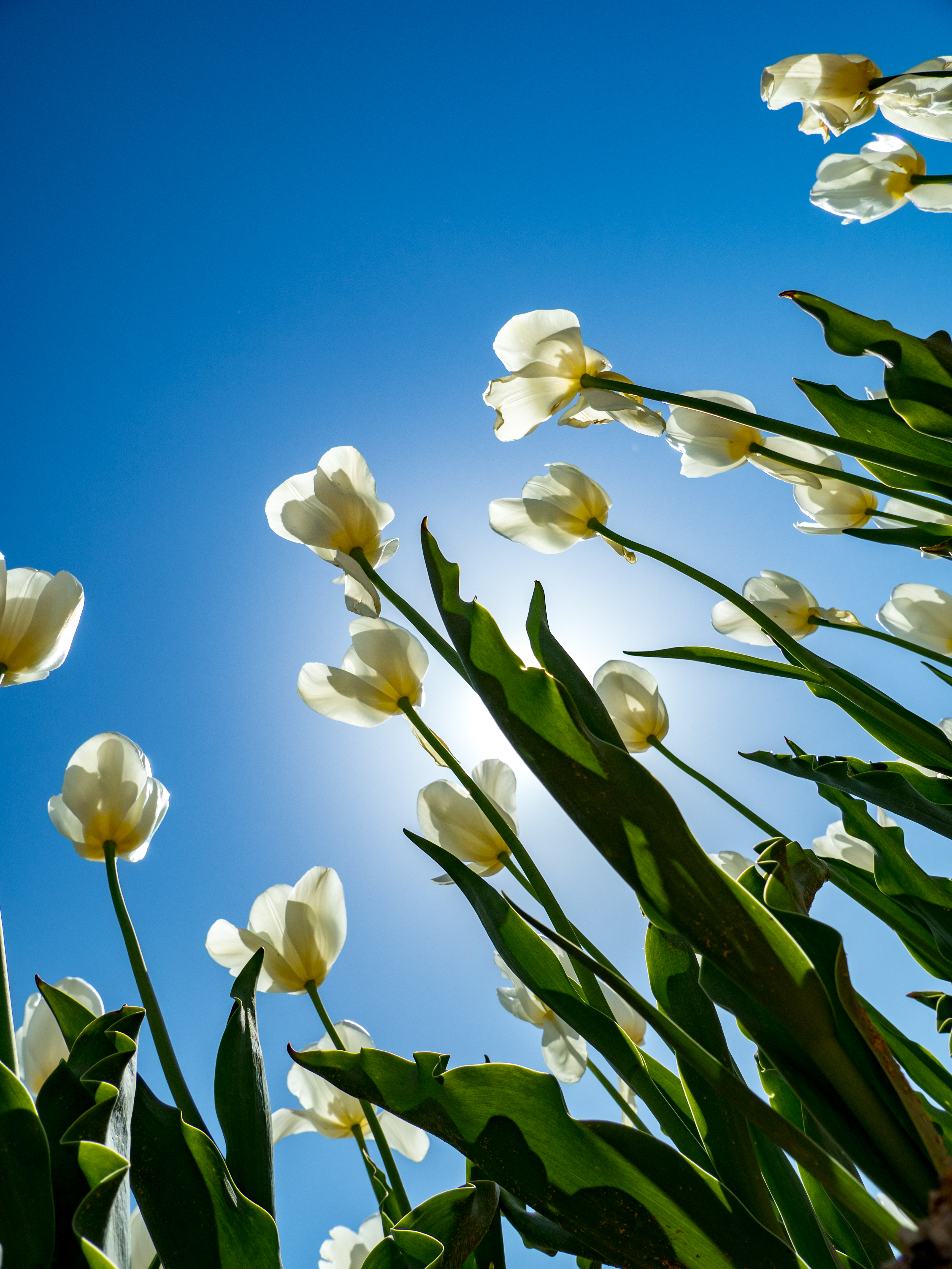
Related Photos:
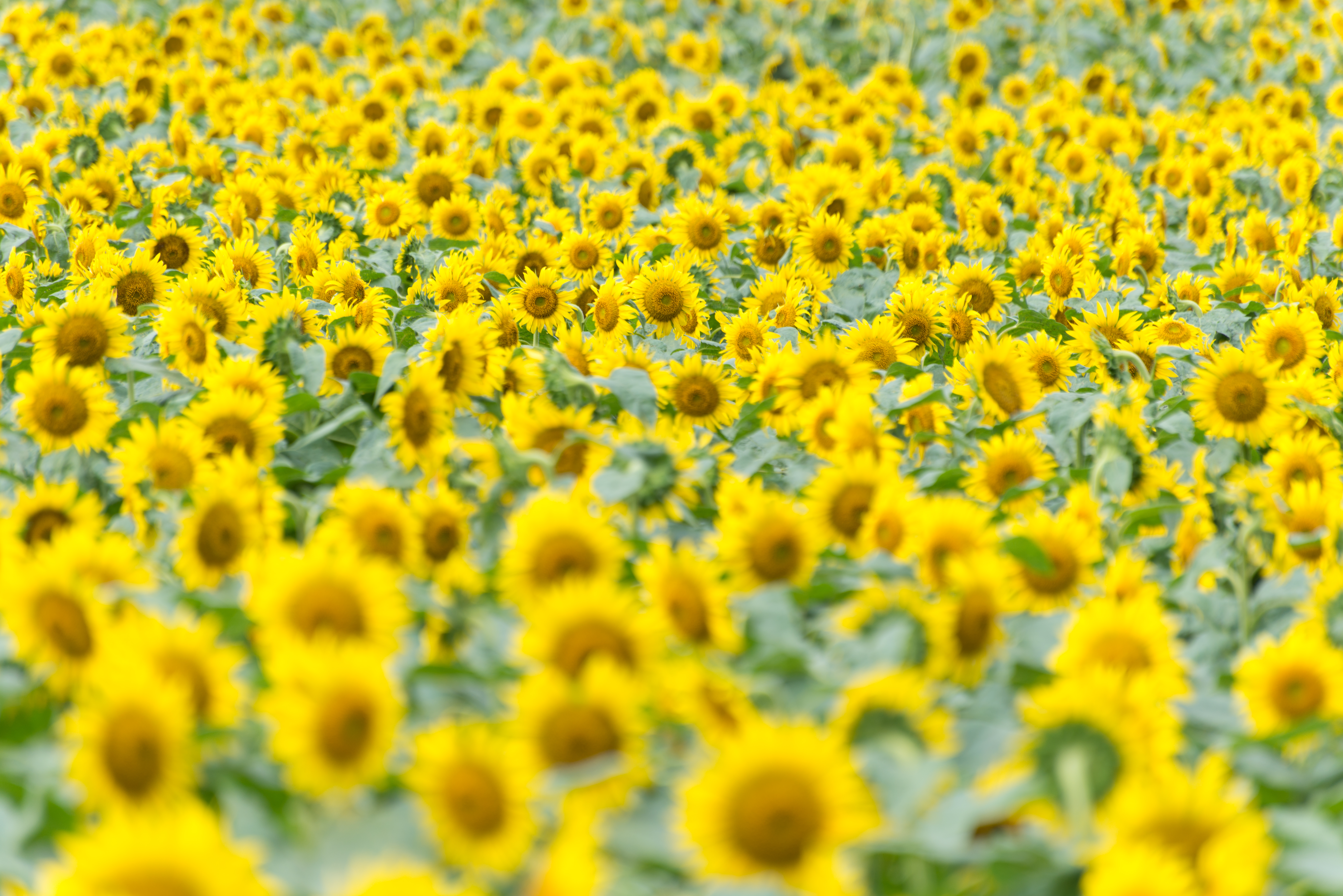
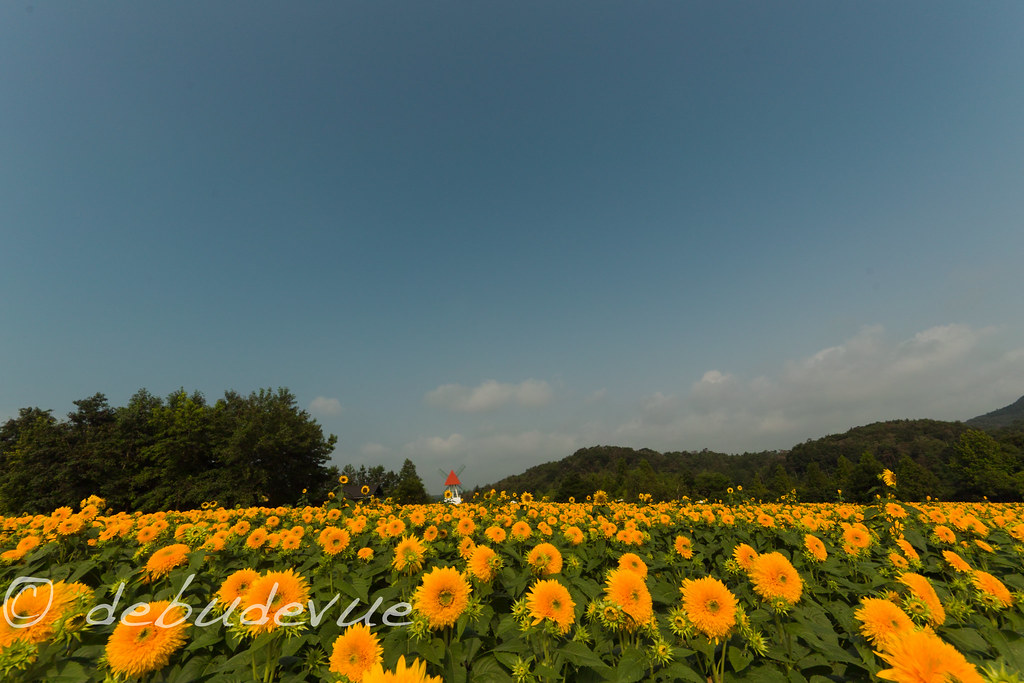
Sunflower(世羅高原農場)
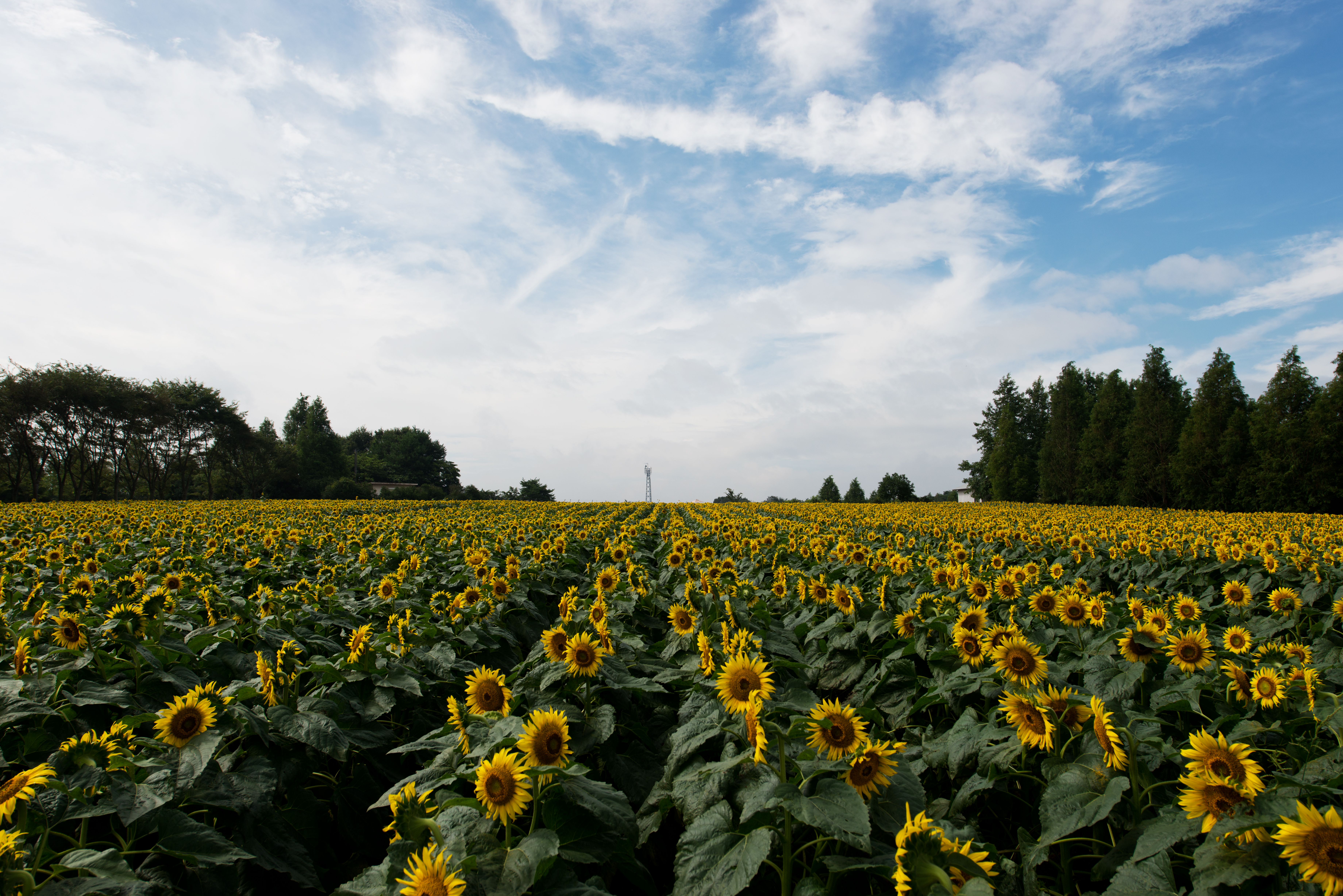
Sunflower farm(世羅高原農場)

Float Trees
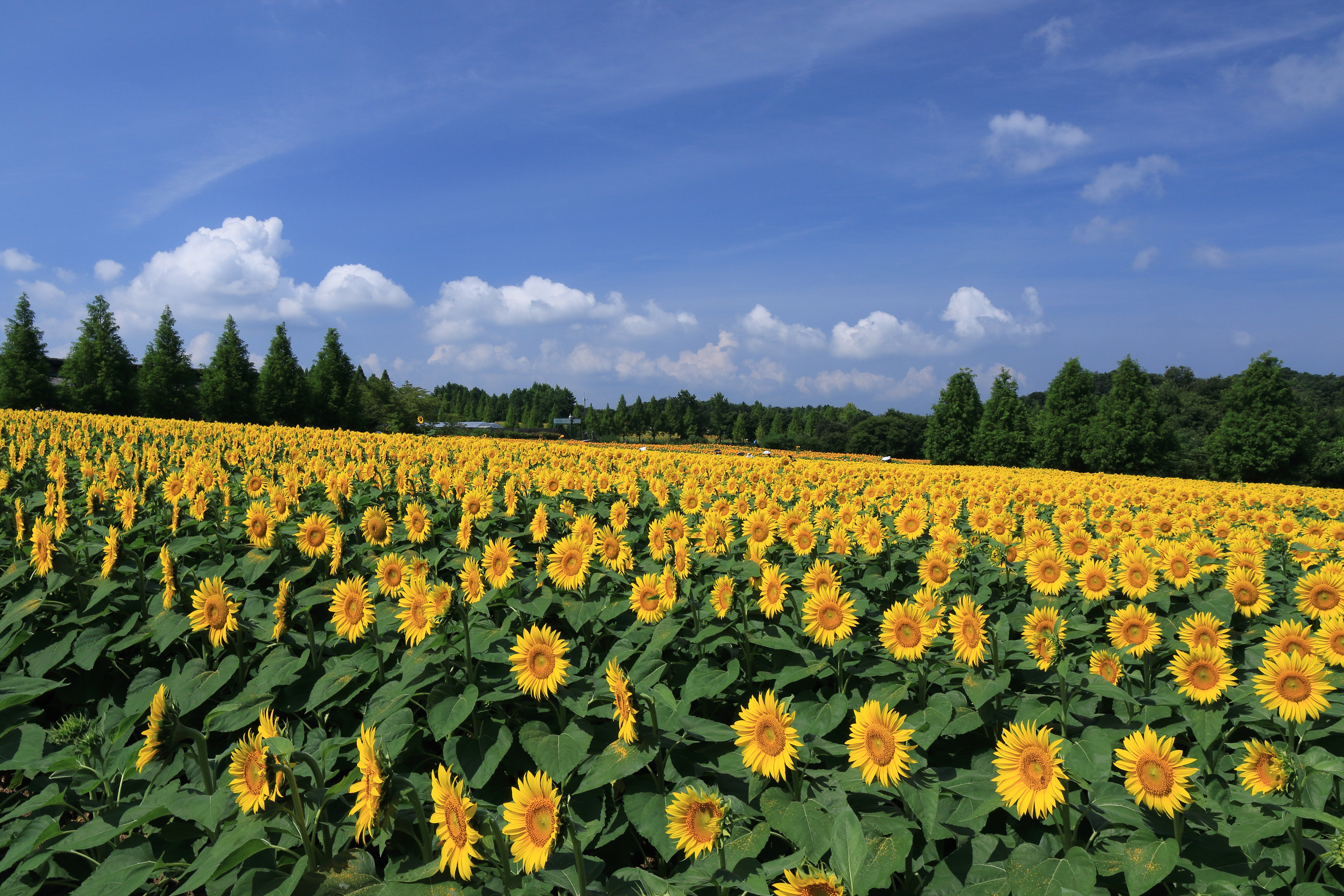
Sunflower at Sera Heights Farm
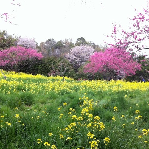
黄色とピンク。 #sanin_ensoku
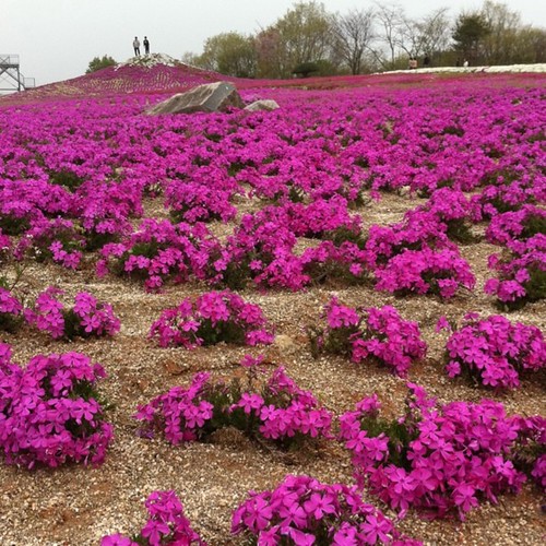
一面の芝桜。綺麗。 #sanin_ensoku

DSC_5527.jpg
PhoTones Works #7843

DSC_5622.jpg

DSC_5669.jpg
20110810-Hiroshima Sera3.jpg
Topographic Map of Sera, Sera District, Hiroshima Prefecture, Japan
Find elevation by address:

Places in Sera, Sera District, Hiroshima Prefecture, Japan:
13-9 Kōzan, Sera-chō, Sera-gun, Hiroshima-ken -, Japan
Hongō, Sera-chō, Sera-gun, Hiroshima-ken -, Japan
Yamanakafukuda, Sera-chō, Sera-gun, Hiroshima-ken -, Japan
Places near Sera, Sera District, Hiroshima Prefecture, Japan:
13-9 Kōzan, Sera-chō, Sera-gun, Hiroshima-ken -, Japan
Hongō, Sera-chō, Sera-gun, Hiroshima-ken -, Japan
Sera District
三原市役所久井支所
2042 Kuichō Wasō
Yamanakafukuda, Sera-chō, Sera-gun, Hiroshima-ken -, Japan
尾道市役所御調支所
245 Mitsugichōichi
861 Jōgechō Jōge
府中市役所上下支所
Seranishi Choyakuba Seranishi Town Center
3381 Oguni
Takasakachō Shinra, Mihara-shi, Hiroshima-ken -, Japan
Fuchu
-2 Haradachō Obara, Onomichi-shi, Hiroshima-ken -, Japan
Mihara
甲1418
20-24 Hisayamadachō, Onomichi-shi, Hiroshima-ken -, Japan
-9 Kouchichō Nakagouchi, Higashihiroshima-shi, Hiroshima-ken -, Japan
21-7 Mondenchō, Onomichi-shi, Hiroshima-ken -, Japan
Recent Searches:
- Elevation of S Layton Cir W, Layton, UT, USA
- Elevation of F36W+3M, Mussoorie, Uttarakhand, India
- Elevation of Fairland Ave, Fairhope, AL, USA
- Elevation of Sunset Dr, Richmond, VA, USA
- Elevation of Grodna District, Hrodna Region, Belarus
- Elevation of Hrodna, Hrodna Region, Belarus
- Elevation of Sandia Derby Estates, Tijeras, NM, USA
- Elevation of 23 Sunrise View Ct, Tijeras, NM, USA
- Elevation of Lytham Ln, Katy, TX, USA
- Elevation of Tater Hill, Oklahoma, USA