Elevation of Jim Cummings Hwy, Bradyville, TN, USA
Location: United States > Tennessee > Cannon County > Bradyville >
Longitude: -86.054955
Latitude: 35.7375275
Elevation: 358m / 1175feet
Barometric Pressure: 97KPa
Elevation Map:
Satellite Map:
Related Photos:

Cannon County, TN Courthouse - Woodbury, TN

See Beautiful Rock City
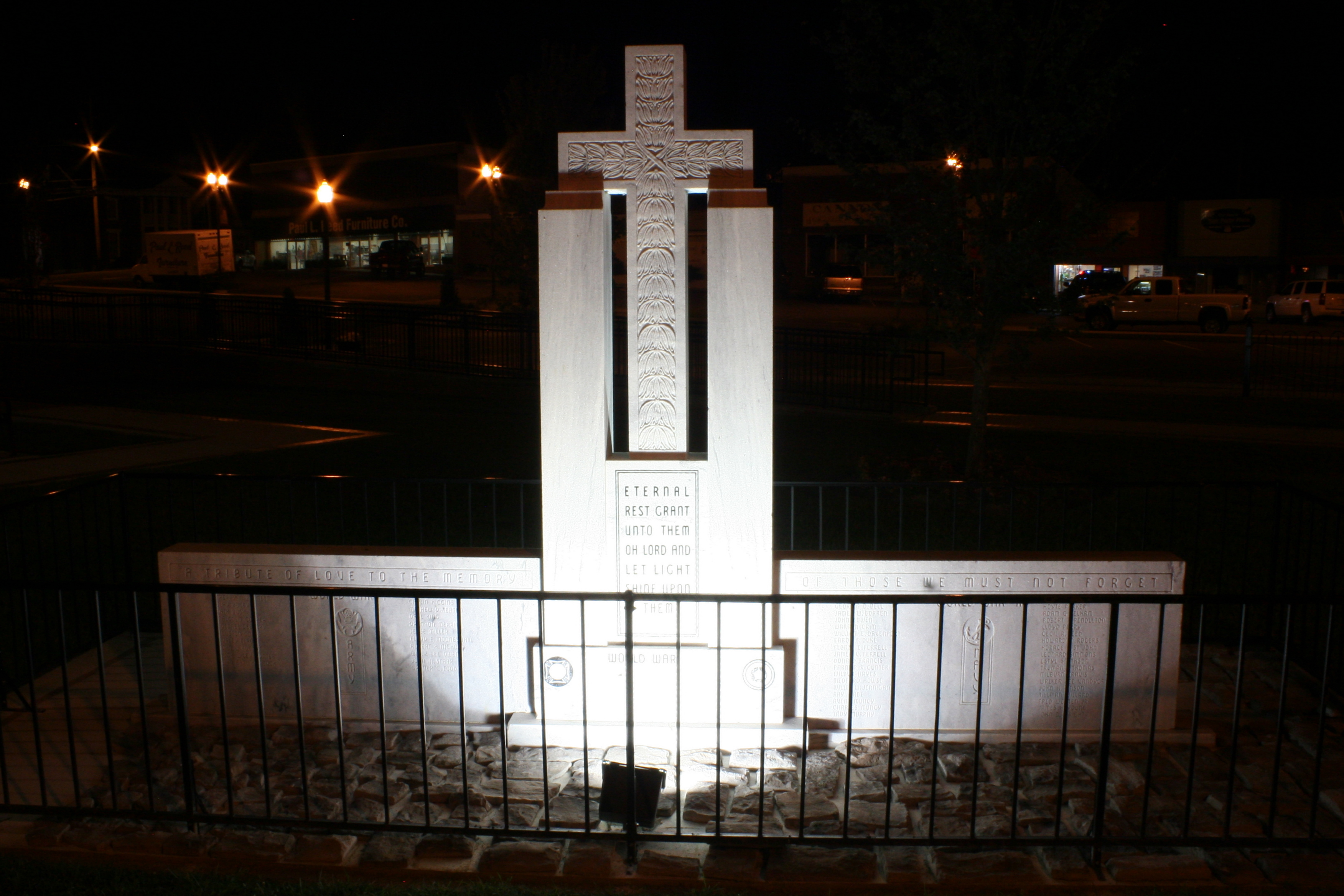
Cannon County War Memorial (at night)

The View from my Table

#stonesriver #woodbury #tn

Winter Sunset

Cannon County Court House Tennessee

TNapr07 001

TNapr07 043
TNapr07 080
Topographic Map of Jim Cummings Hwy, Bradyville, TN, USA
Find elevation by address:

Places near Jim Cummings Hwy, Bradyville, TN, USA:
6621 Jim Cummings Hwy
6621 Jim Cummings Hwy
6621 Jim Cummings Hwy
200 Petty Gap Rd
1452 Red Hill Rd
130 Conley Rd
Cove Hill Road
McMahan Rd, Morrison, TN, USA
Cannon County
Woodbury, TN, USA
5440 Mcminnville Hwy
165 Fair Oak Ln
212 S College St
Woodbury
Nashville Hwy, McMinnville, TN, USA
231 Tenpenny Rd
1915 Short Mountain Rd
1915 Short Mountain Rd
W Green Hill Rd, McMinnville, TN, USA
155 Patton Rd
Recent Searches:
- Elevation of Lampiasi St, Sarasota, FL, USA
- Elevation of Elwyn Dr, Roanoke Rapids, NC, USA
- Elevation of Congressional Dr, Stevensville, MD, USA
- Elevation of Bellview Rd, McLean, VA, USA
- Elevation of Stage Island Rd, Chatham, MA, USA
- Elevation of Shibuya Scramble Crossing, 21 Udagawacho, Shibuya City, Tokyo -, Japan
- Elevation of Jadagoniai, Kaunas District Municipality, Lithuania
- Elevation of Pagonija rock, Kranto 7-oji g. 8"N, Kaunas, Lithuania
- Elevation of Co Rd 87, Jamestown, CO, USA
- Elevation of Tenjo, Cundinamarca, Colombia