Elevation of W Green Hill Rd, McMinnville, TN, USA
Location: United States > Tennessee > Warren County > Mcminnville >
Longitude: -85.885074
Latitude: 35.803947
Elevation: 338m / 1109feet
Barometric Pressure: 97KPa
Elevation Map:
Satellite Map:
Related Photos:

Best Saturday Afternoon Football Around!!
Short Mountain, Cannon County, Tennessee
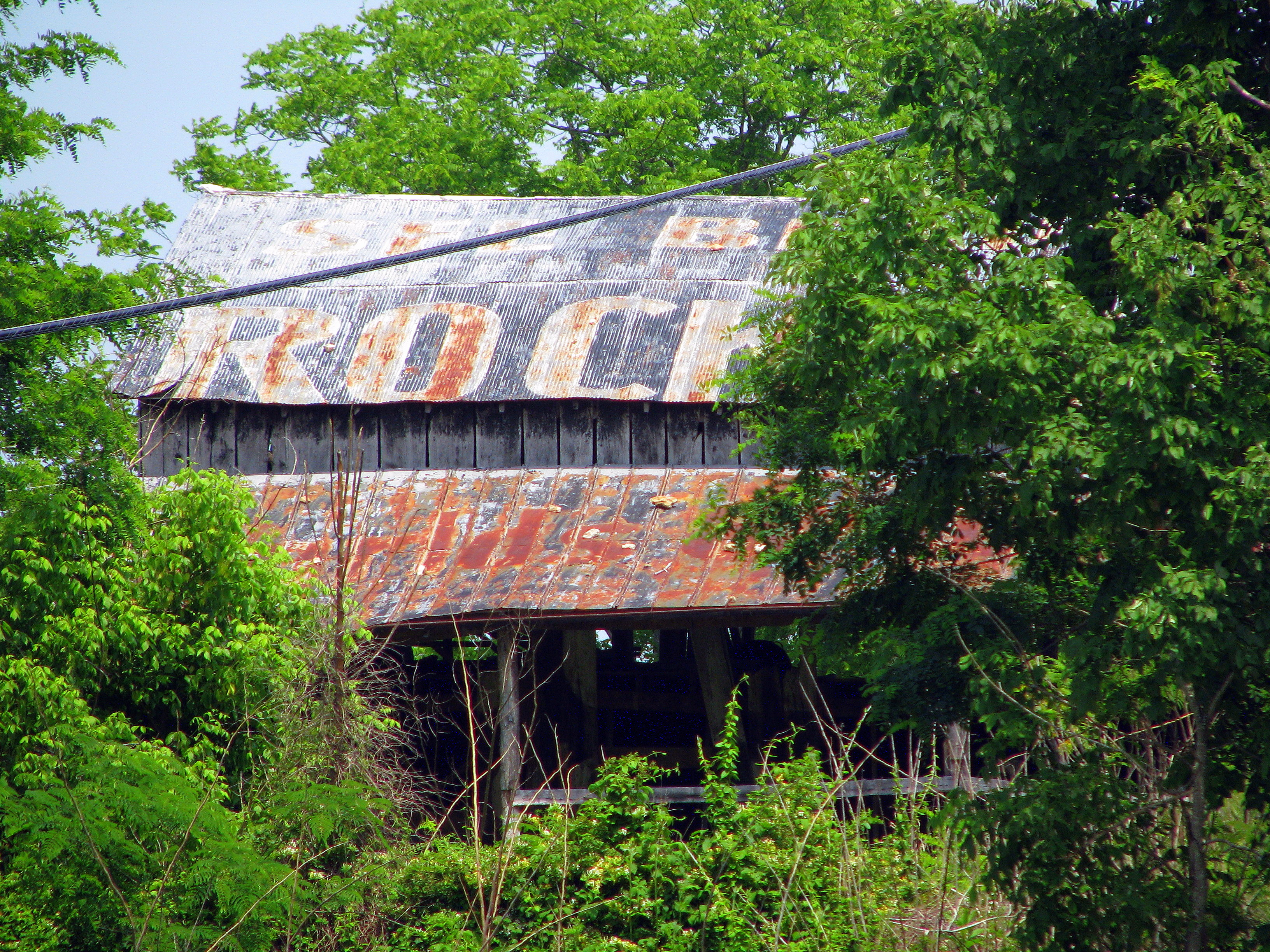
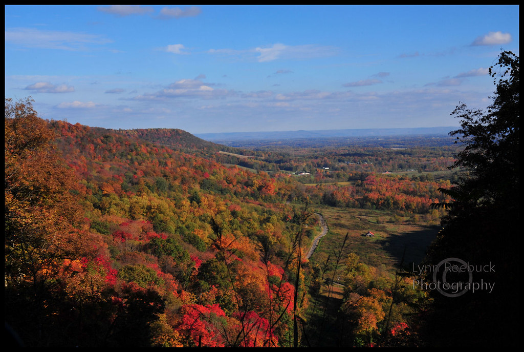
See Beautiful Rock City

Winter Sunset
Short Mountain Distillery
Short Mountain Distillery

Old Bildad Cemetery
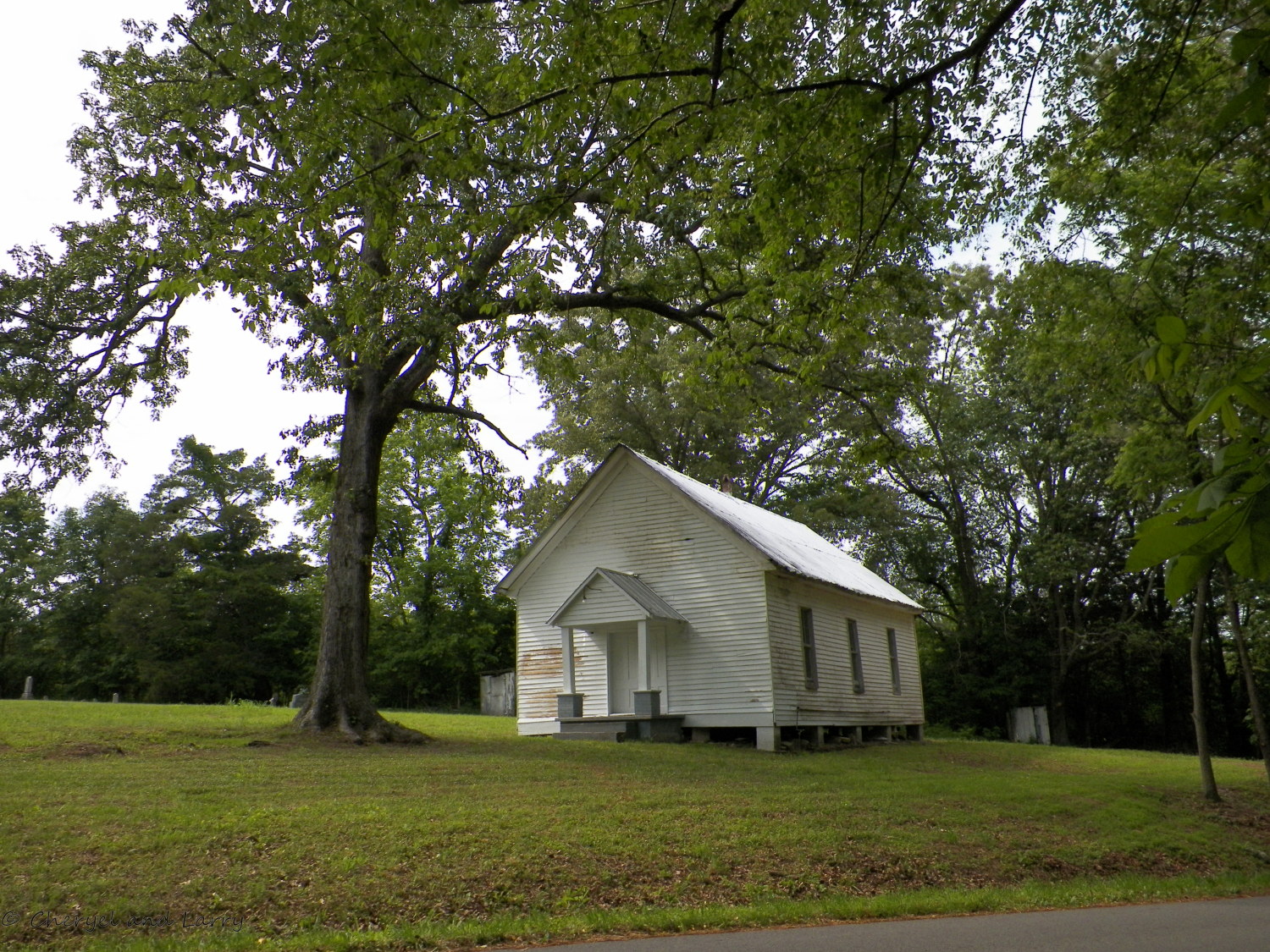
Old Bildad Church
Topographic Map of W Green Hill Rd, McMinnville, TN, USA
Find elevation by address:

Places near W Green Hill Rd, McMinnville, TN, USA:
1915 Short Mountain Rd
1915 Short Mountain Rd
Tennessee 56
Tennessee 56
Nashville Hwy, McMinnville, TN, USA
165 Fair Oak Ln
5440 Mcminnville Hwy
Warren County
231 Tenpenny Rd
155 Patton Rd
551 Patton Rd
Post Road
624 W Main St
1452 Red Hill Rd
Cannon County
Woodbury, TN, USA
McMahan Rd, Morrison, TN, USA
200 Petty Gap Rd
6621 Jim Cummings Hwy
6621 Jim Cummings Hwy
Recent Searches:
- Elevation of Corso Fratelli Cairoli, 35, Macerata MC, Italy
- Elevation of Tallevast Rd, Sarasota, FL, USA
- Elevation of 4th St E, Sonoma, CA, USA
- Elevation of Black Hollow Rd, Pennsdale, PA, USA
- Elevation of Oakland Ave, Williamsport, PA, USA
- Elevation of Pedrógão Grande, Portugal
- Elevation of Klee Dr, Martinsburg, WV, USA
- Elevation of Via Roma, Pieranica CR, Italy
- Elevation of Tavkvetili Mountain, Georgia
- Elevation of Hartfords Bluff Cir, Mt Pleasant, SC, USA