Elevation map of Jhang, Punjab, Pakistan
Location: Pakistan > Punjab > Jhang >
Longitude: 72.236379
Latitude: 31.3700829
Elevation: 157m / 515feet
Barometric Pressure: 99KPa
Elevation Map:
Satellite Map:
Related Photos:
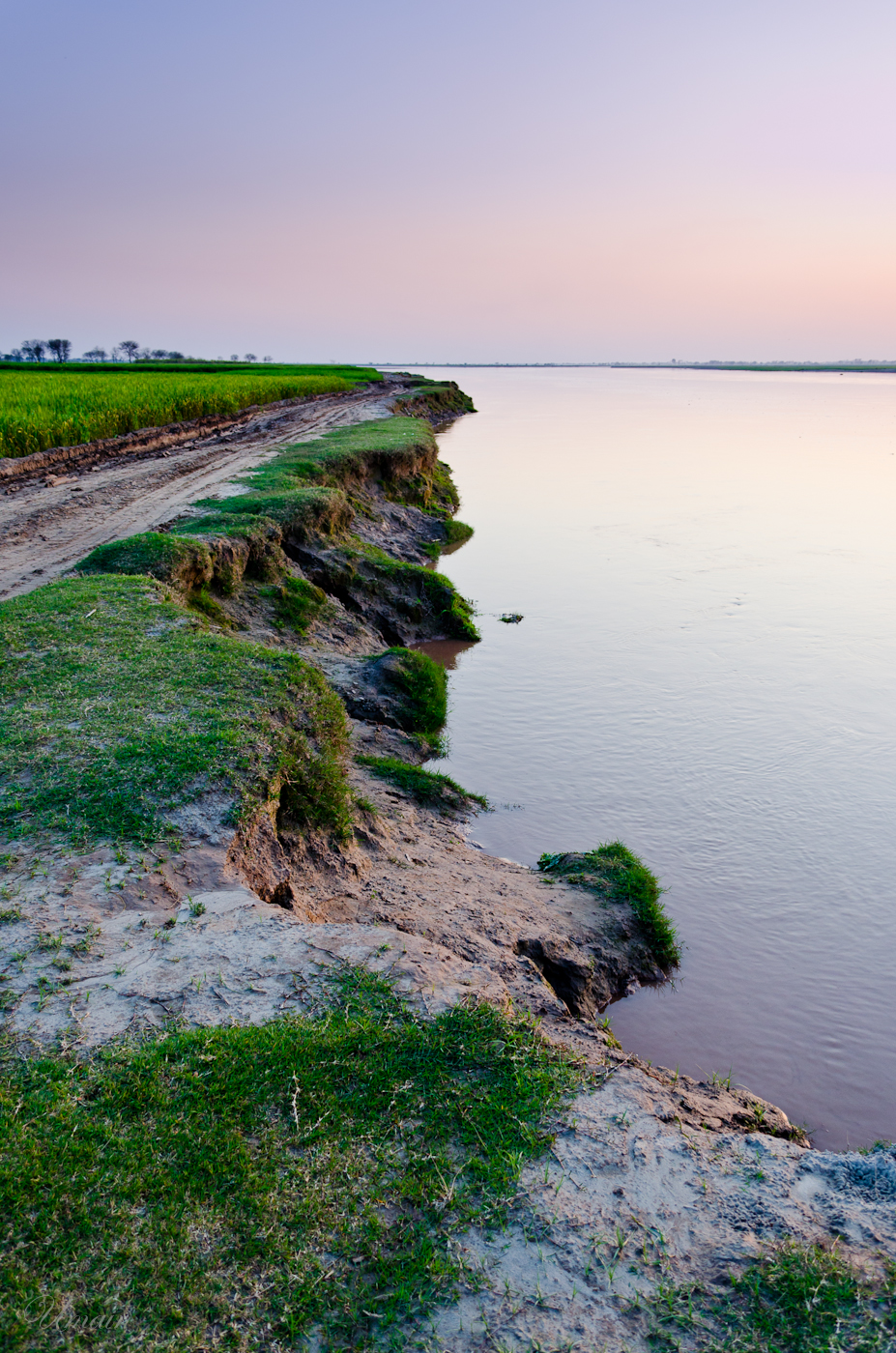
The Edge

IMG_20200122_163742_086-01-02

28-03-10_1831

03-09-09_1148

26-02-08_1746

25-10-06_0505
15-10-06

25-10-06, MRTJGPK.

13-02-07_1458.My Home.

15-03-05. Rahmat Ullah

Tombstone and bangles

Photo-0005

Photo-0028
Topographic Map of Jhang, Punjab, Pakistan
Find elevation by address:

Places in Jhang, Punjab, Pakistan:
Places near Jhang, Punjab, Pakistan:
Jhang
Nime Wala
Trimmu Head Works (chenab River)
Muhammad Wala
Toba Tek Singh District
Punjab
Chiniot
Chiniot
Butul Hamd Park
Chenab Nagar
Peer Shah Burhan
Omar Hayat Mahal
Garden Park
Chiniot
Block A
Dakkan Park
Sargodha
University Of Agriculture - Uaf
Unzila Park
Faisalabad Saddar
Recent Searches:
- Elevation of 7 Waterfall Way, Tomball, TX, USA
- Elevation of SW 57th Ave, Portland, OR, USA
- Elevation of Crocker Dr, Vacaville, CA, USA
- Elevation of Pu Ngaol Community Meeting Hall, HWHM+3X7, Krong Saen Monourom, Cambodia
- Elevation of Royal Ontario Museum, Queens Park, Toronto, ON M5S 2C6, Canada
- Elevation of Groblershoop, South Africa
- Elevation of Power Generation Enterprises | Industrial Diesel Generators, Oak Ave, Canyon Country, CA, USA
- Elevation of Chesaw Rd, Oroville, WA, USA
- Elevation of N, Mt Pleasant, UT, USA
- Elevation of 6 Rue Jules Ferry, Beausoleil, France