Elevation map of Jhang, Punjab, Pakistan
Location: Pakistan > Punjab >
Longitude: 72.236379
Latitude: 31.1929214
Elevation: 151m / 495feet
Barometric Pressure: 100KPa
Elevation Map:
Satellite Map:
Related Photos:
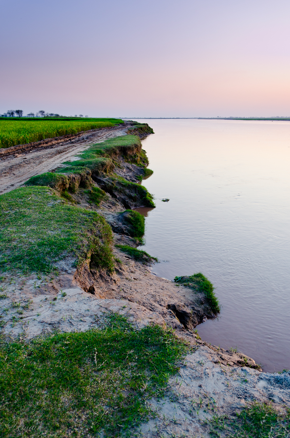
The Edge

IMG_20200122_163742_086-01-02

28-03-10_1831

03-09-09_1148

26-02-08_1746

25-10-06_0505
15-10-06

25-10-06, MRTJGPK.

13-02-07_1458.My Home.

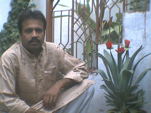
15-03-05. Rahmat Ullah

Heer Ranjha Shrine-I

Tombstone and bangles

Photo-0005

Photo-0028
Topographic Map of Jhang, Punjab, Pakistan
Find elevation by address:

Places in Jhang, Punjab, Pakistan:
Places near Jhang, Punjab, Pakistan:
Nime Wala
Trimmu Head Works (chenab River)
Jhang
Toba Tek Singh District
Punjab
Muhammad Wala
Chiniot
Chiniot
Garden Park
Dakkan Park
Block A
Butul Hamd Park
University Of Agriculture - Uaf
Chenab Nagar
Unzila Park
Peer Shah Burhan
Faisalabad Saddar
Omar Hayat Mahal
Madina Central Park
Chiniot
Recent Searches:
- Elevation of Mamala II, Sariaya, Quezon, Philippines
- Elevation of Sarangdanda, Nepal
- Elevation of 7 Waterfall Way, Tomball, TX, USA
- Elevation of SW 57th Ave, Portland, OR, USA
- Elevation of Crocker Dr, Vacaville, CA, USA
- Elevation of Pu Ngaol Community Meeting Hall, HWHM+3X7, Krong Saen Monourom, Cambodia
- Elevation of Royal Ontario Museum, Queens Park, Toronto, ON M5S 2C6, Canada
- Elevation of Groblershoop, South Africa
- Elevation of Power Generation Enterprises | Industrial Diesel Generators, Oak Ave, Canyon Country, CA, USA
- Elevation of Chesaw Rd, Oroville, WA, USA