Elevation of Jetty Way, Bybee, TN, USA
Location: United States > Tennessee > Cocke County > Bybee >
Longitude: -83.160131
Latitude: 36.114118
Elevation: 359m / 1178feet
Barometric Pressure: 97KPa
Elevation Map:
Satellite Map:
Related Photos:

Hag Moth Caterpillar side view

View from the cabin 2
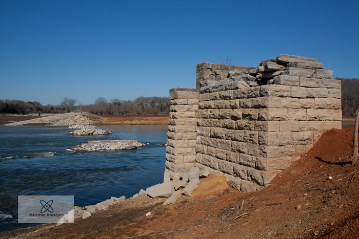
A Forgotten Bridge
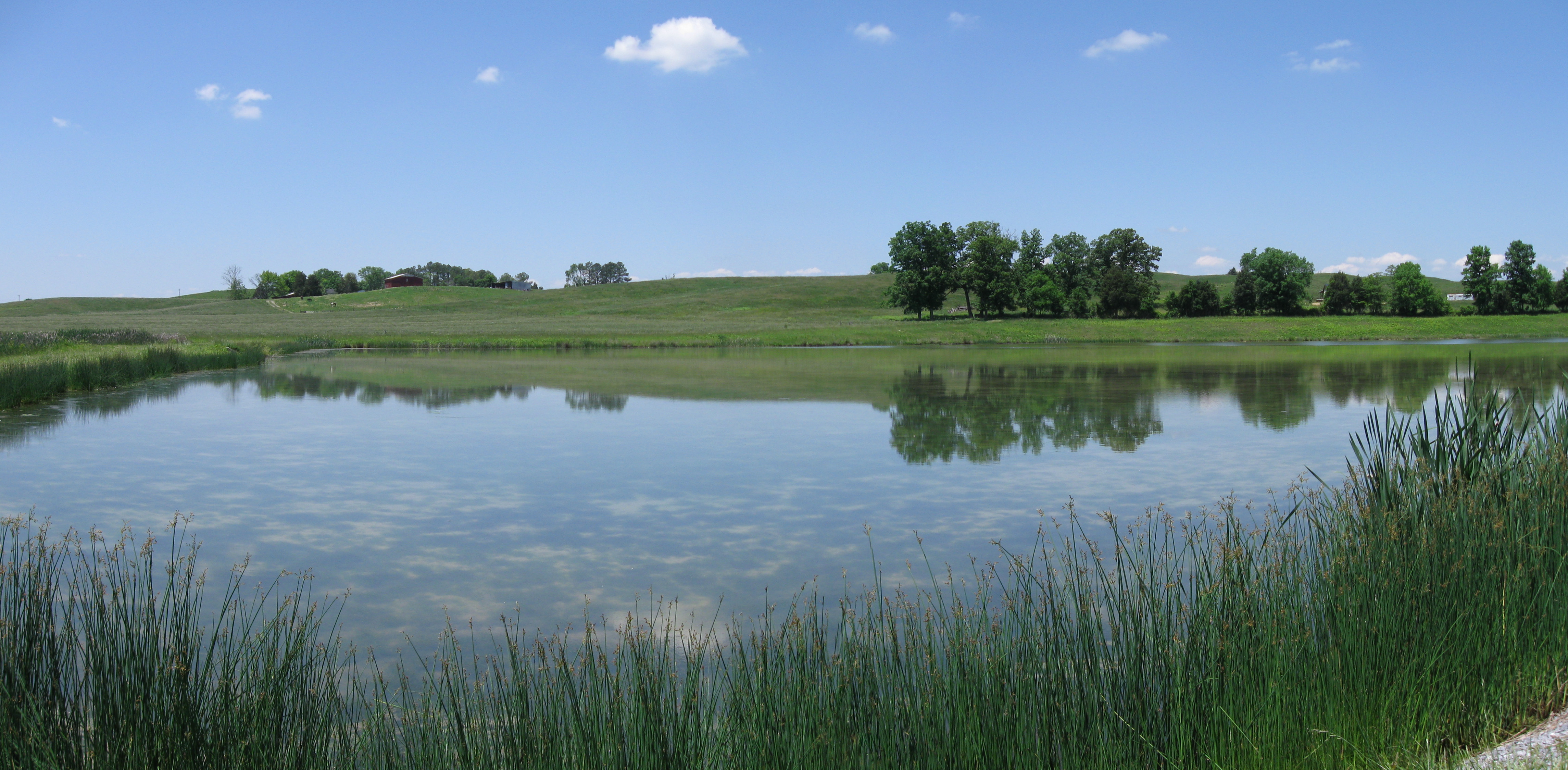
Midway Pastoral
rural tennessee

IMG_0612.JPG

woods(022)

Parrottsville Country
#stormyweather #clouds_of_our_world #cloudscape #fallweather

#sunsetlovers #sunsets
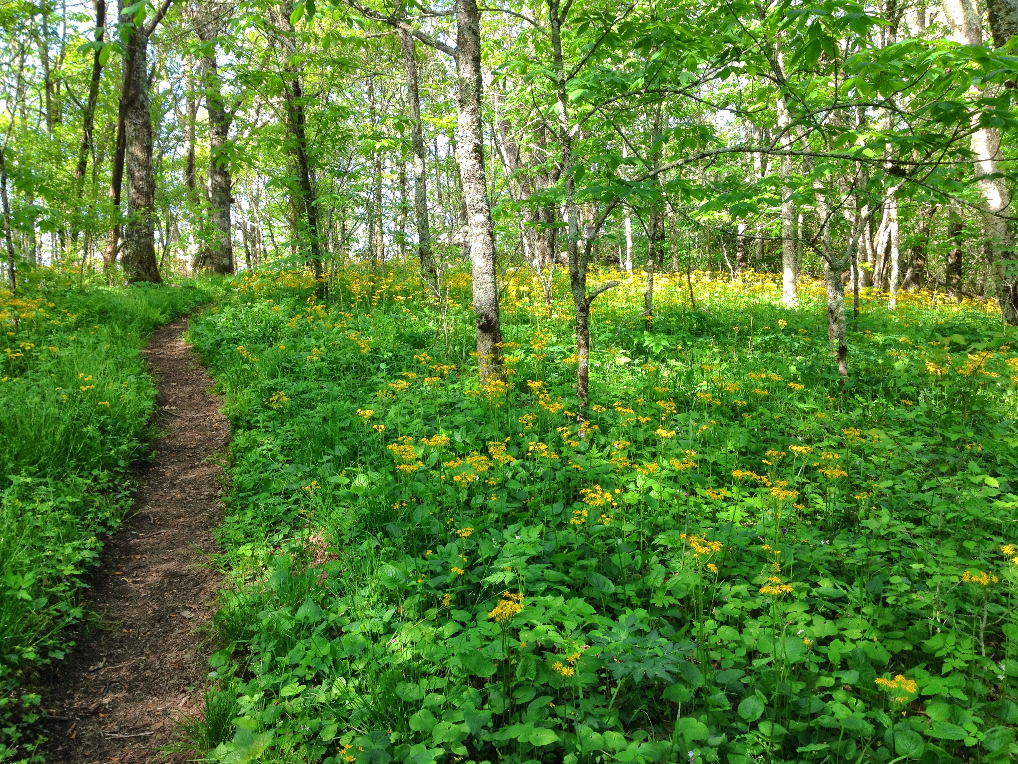
Wildflowers on Bluff Mountain

French Broad River
DC 6039

#forestfires #smoke #dryleaves

IMG_1012.JPG
Topographic Map of Jetty Way, Bybee, TN, USA
Find elevation by address:

Places near Jetty Way, Bybee, TN, USA:
104 Briar Thicket Rd
4154 High Point Way
White Rd, Bybee, TN, USA
555 Airport Rd
841 Briar Thicket Rd
841 Briar Thicket Rd
Fish Hatchery Road
3218 Duck Way
485 Foxgate Trail
1030 Creek Rd
3801 Point Pleasant Rd
3801 Point Pleasant Rd
3801 Point Pleasant Rd
3801 Point Pleasant Rd
3801 Point Pleasant Rd
Flea Ridge Rd, Mohawk, TN, USA
Bybee
TN-, Bybee, TN, USA
5712 Fishing Rod Ln
1172 Palmer Hollow Rd
Recent Searches:
- Elevation of Tenjo, Cundinamarca, Colombia
- Elevation of Côte-des-Neiges, Montreal, QC H4A 3J6, Canada
- Elevation of Bobcat Dr, Helena, MT, USA
- Elevation of Zu den Ihlowbergen, Althüttendorf, Germany
- Elevation of Badaber, Peshawar, Khyber Pakhtunkhwa, Pakistan
- Elevation of SE Heron Loop, Lincoln City, OR, USA
- Elevation of Slanický ostrov, 01 Námestovo, Slovakia
- Elevation of Spaceport America, Co Rd A, Truth or Consequences, NM, USA
- Elevation of Warwick, RI, USA
- Elevation of Fern Rd, Whitmore, CA, USA