Elevation of Briar Thicket Rd, Bybee, TN, USA
Location: United States > Tennessee > Cocke County > Bybee >
Longitude: -83.124682
Latitude: 36.11857
Elevation: 330m / 1083feet
Barometric Pressure: 97KPa
Elevation Map:
Satellite Map:
Related Photos:
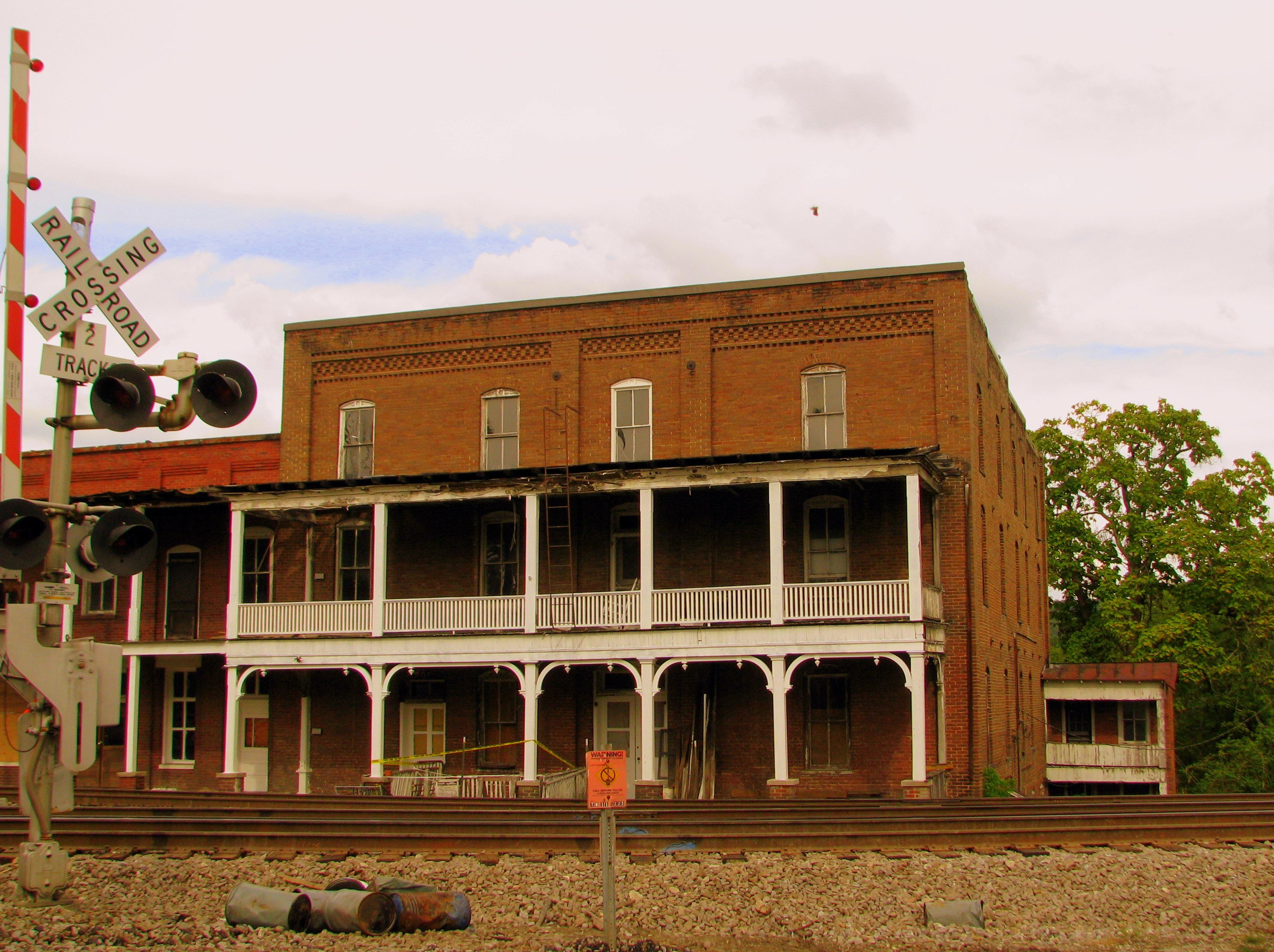
Gilley's Hotel - Bull's Gap, TN
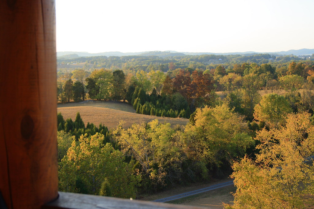
View from the cabin 1

View from the cabin 2
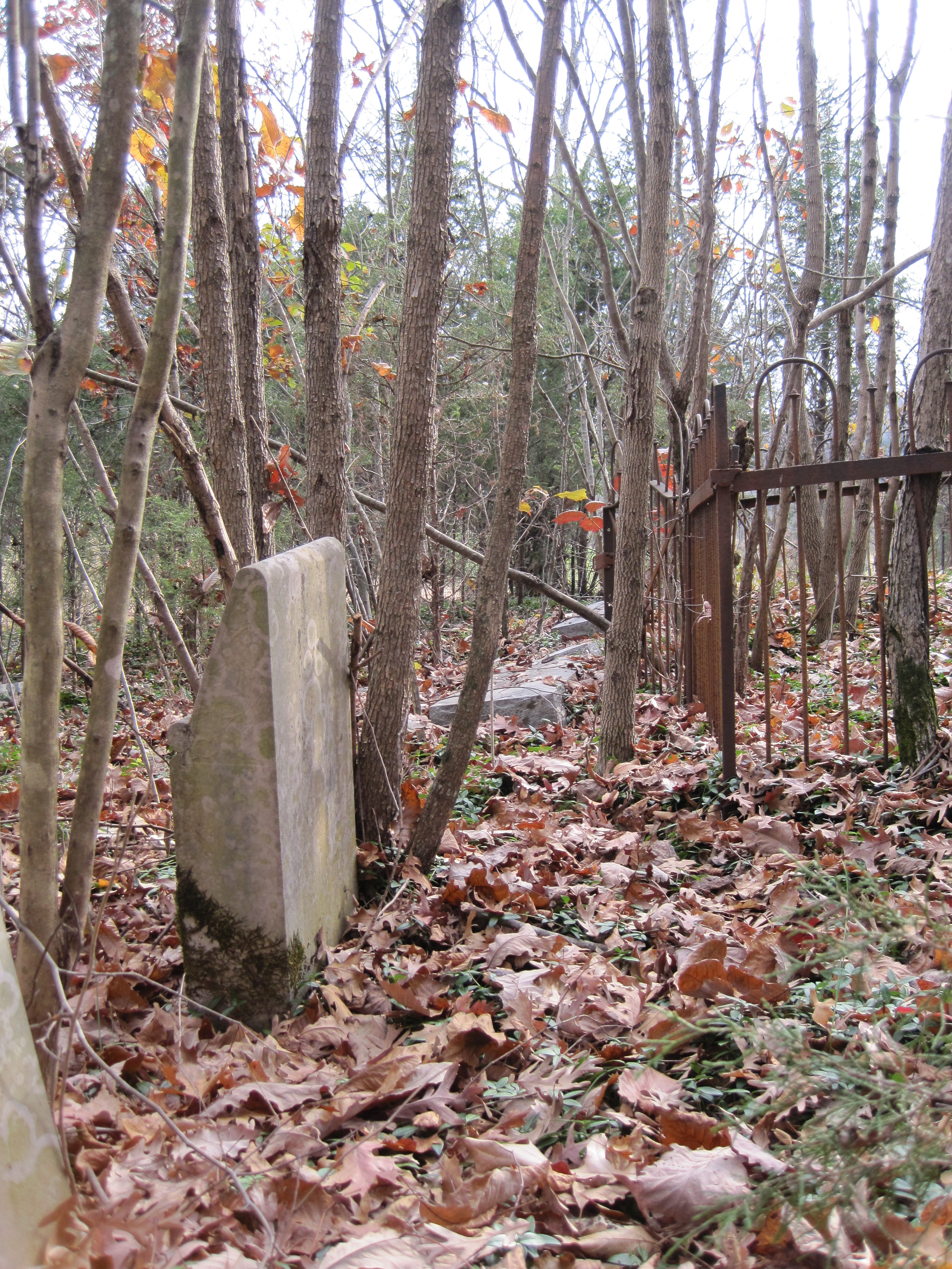
A view near the front of the forgotten cemetery.
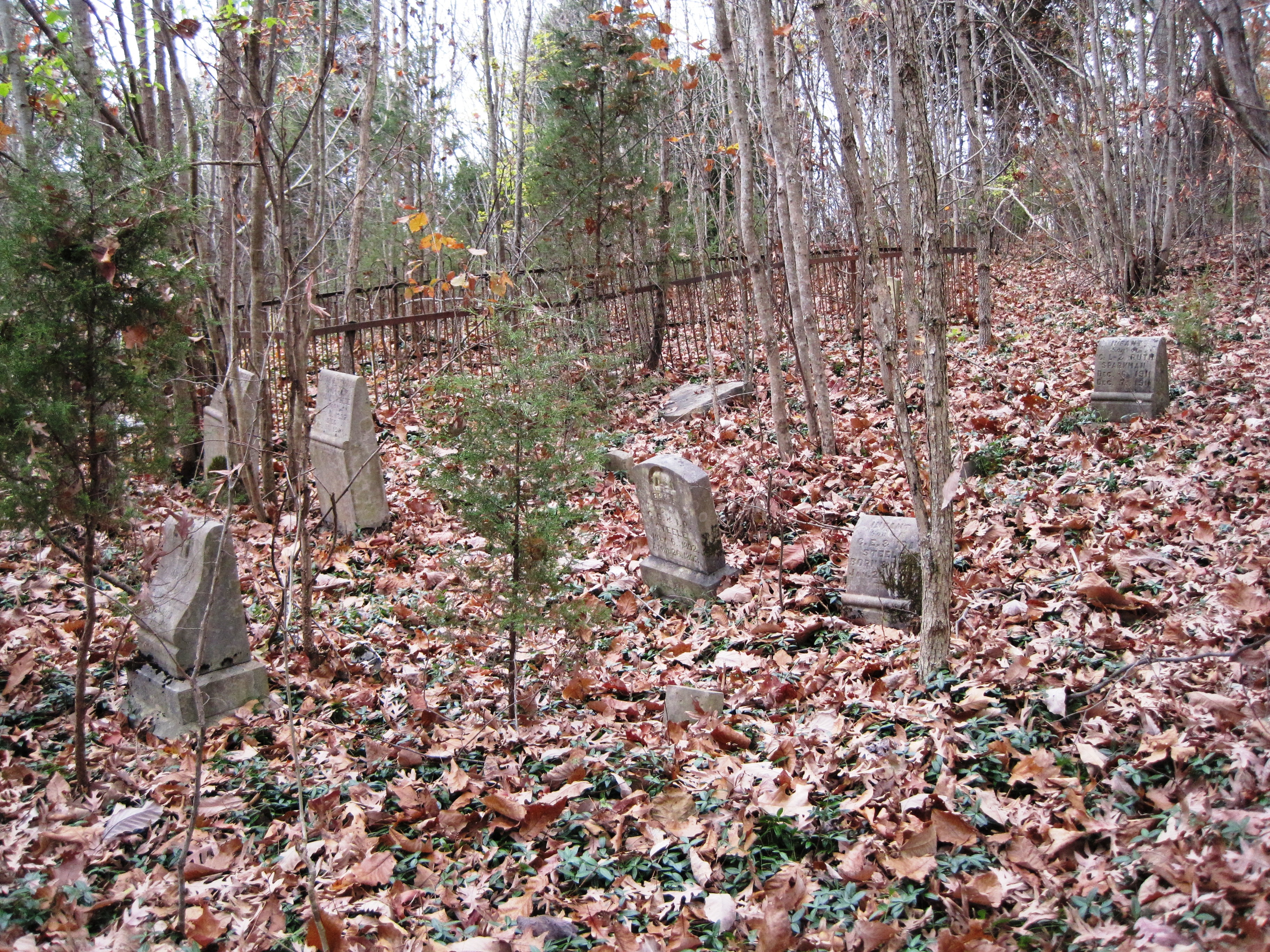
A wide view of marked graves, mostly infants, on Cemetery Ridge.
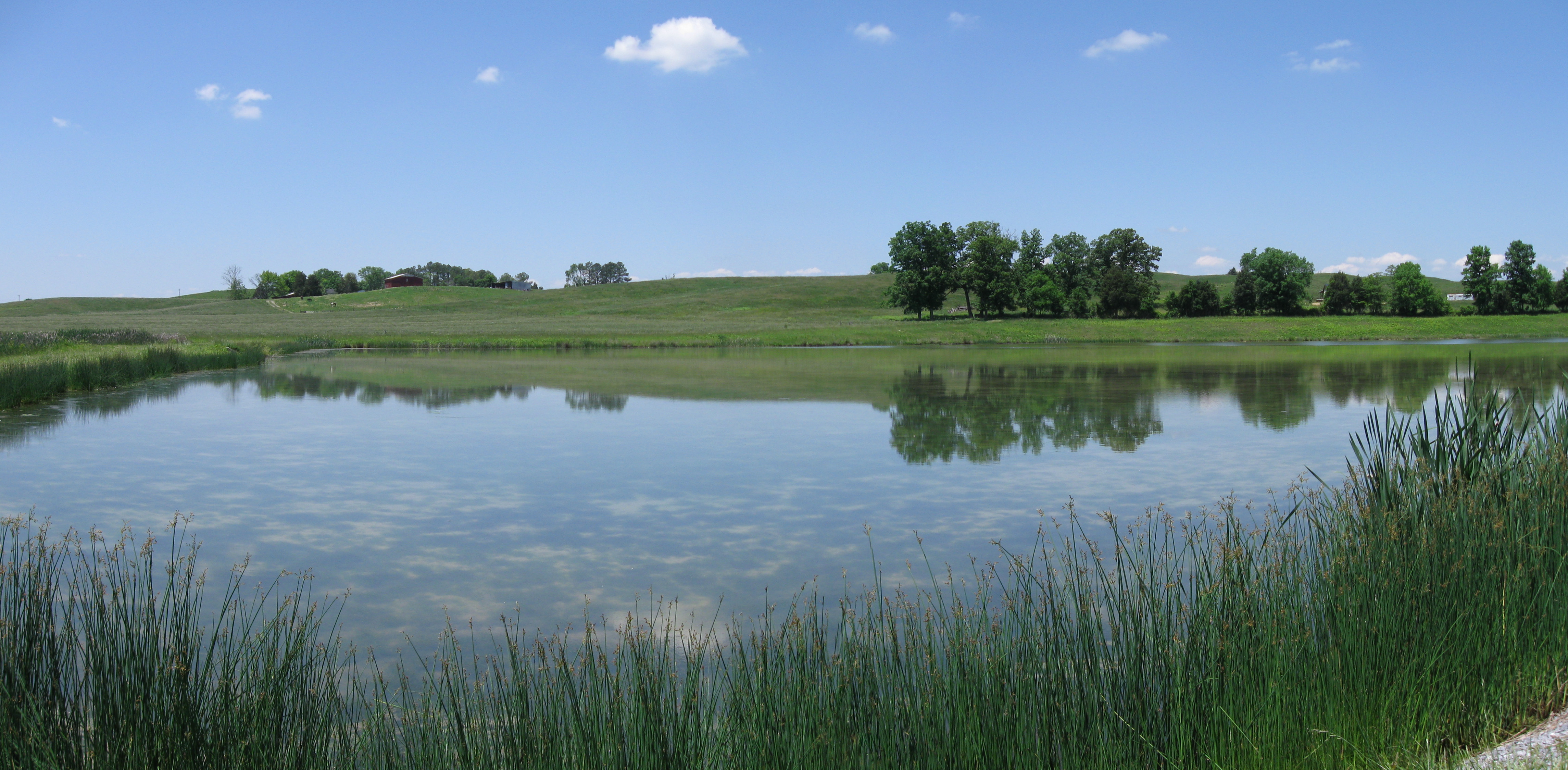
Midway Pastoral
Tiger Moth
DC 6039
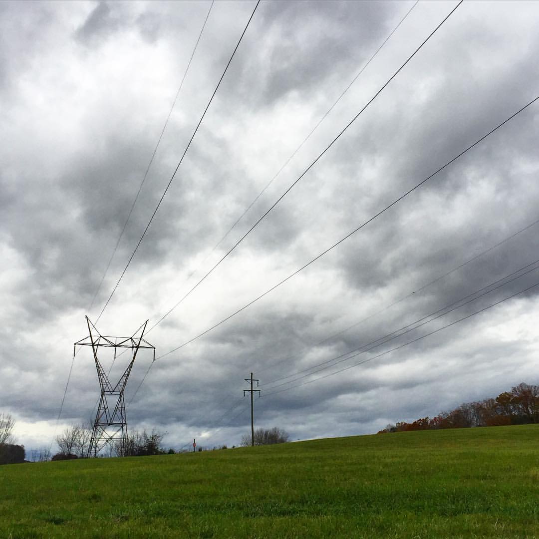
#stormyweather #clouds_of_our_world #cloudscape #fallweather
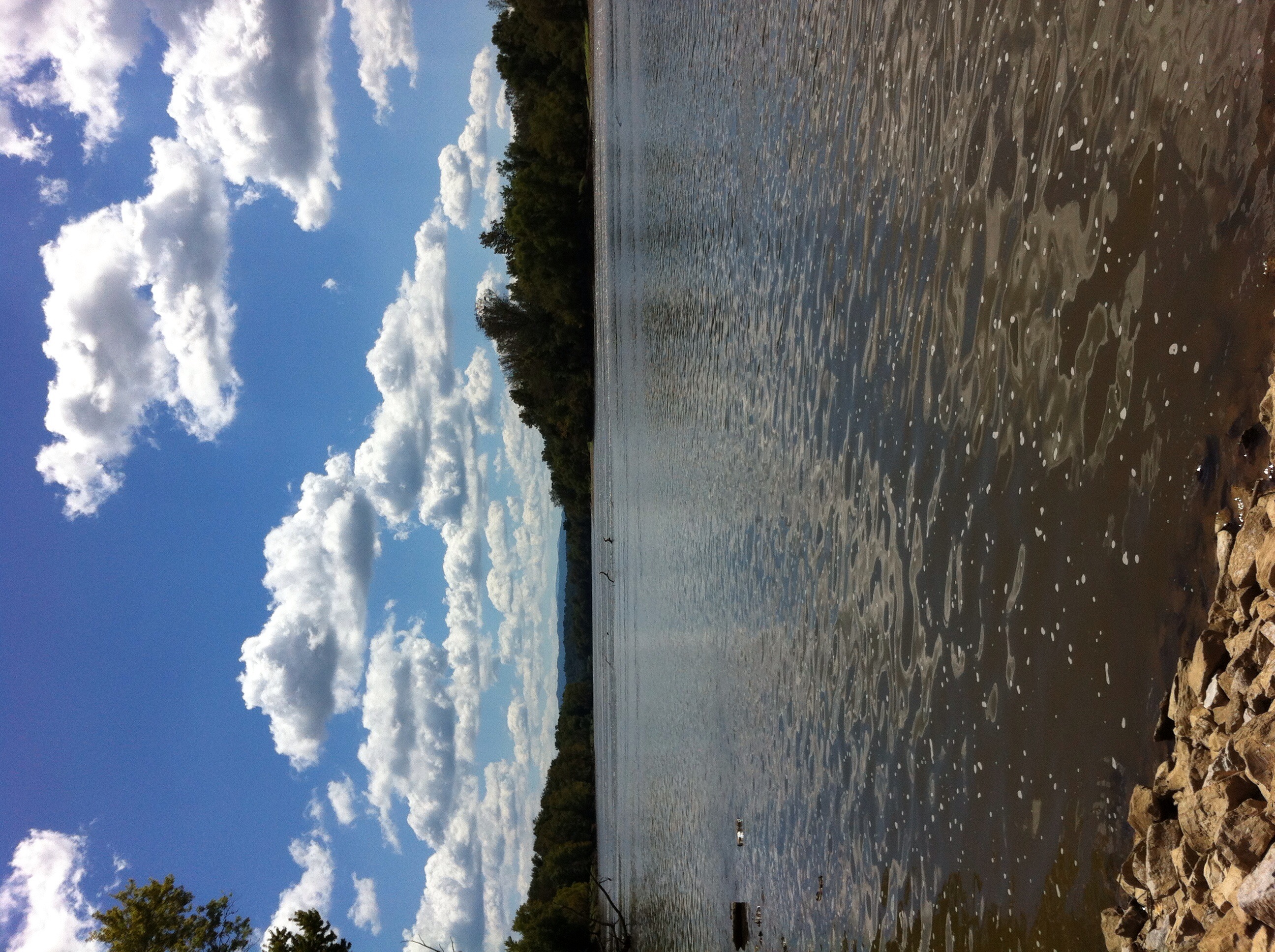
French Broad River

#sunsetlovers #sunsets
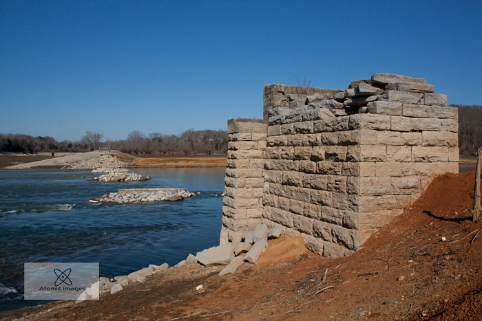
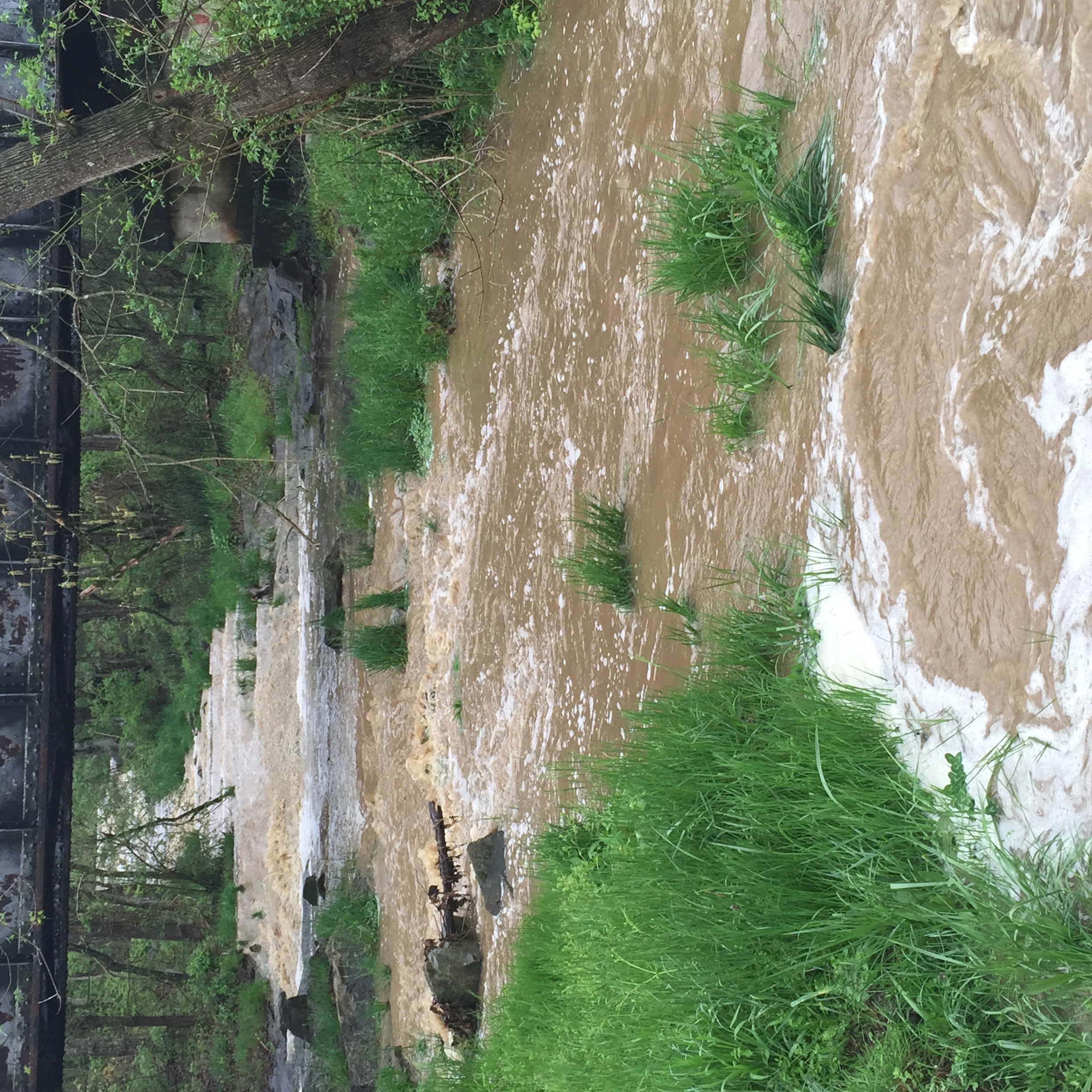
A Forgotten Bridge
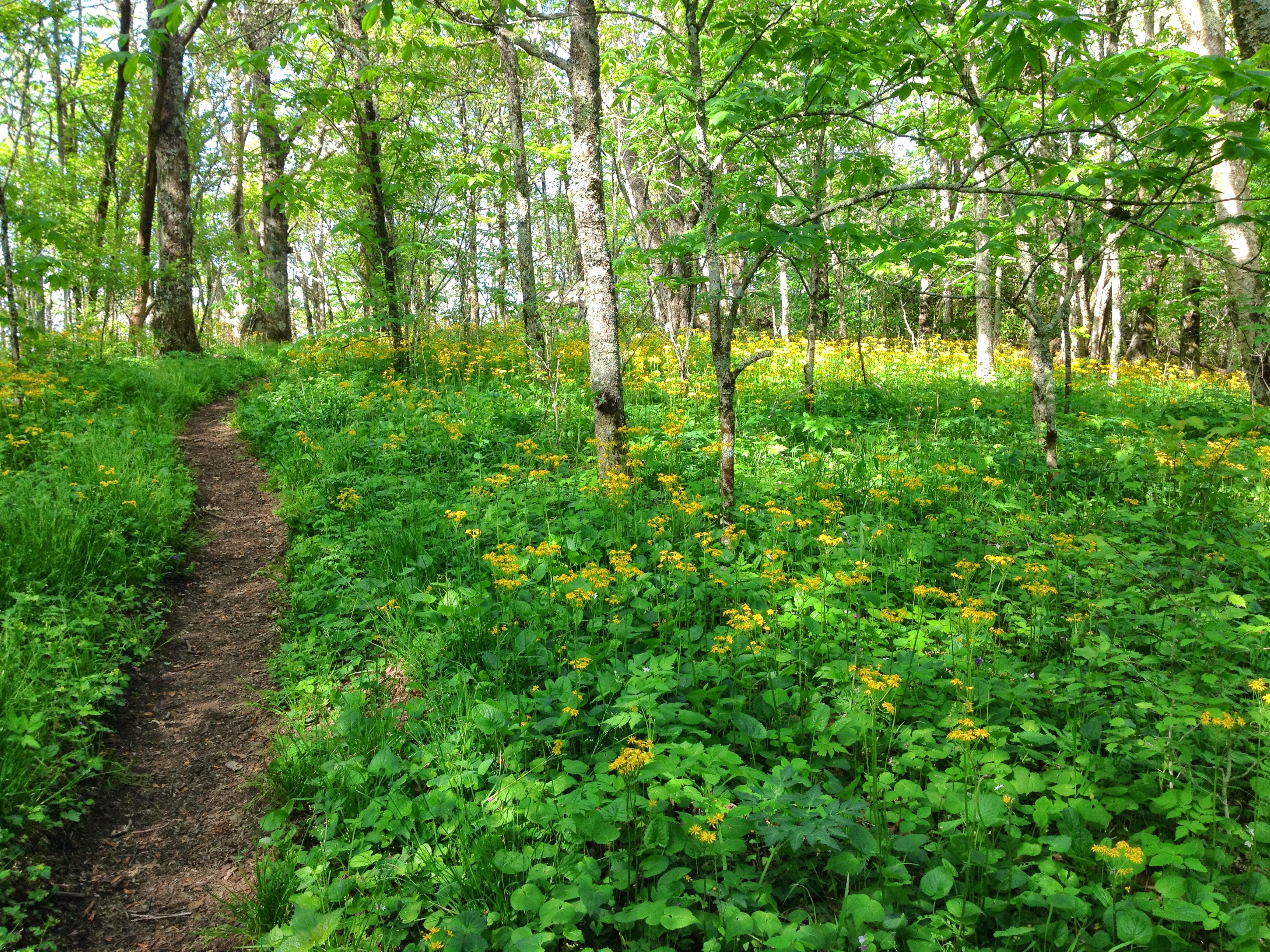
Wildflowers on Bluff Mountain
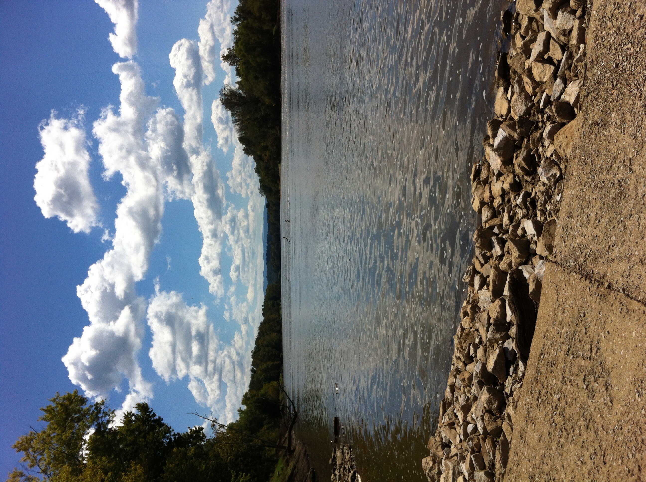
French Broad River
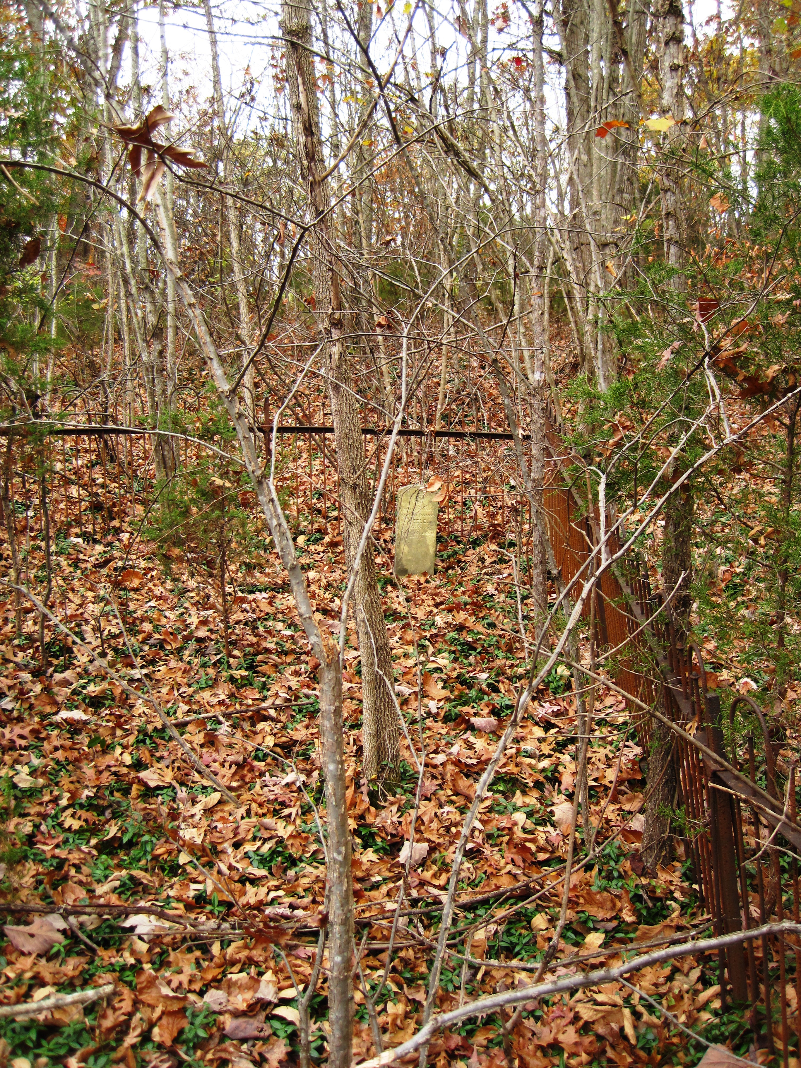
An old iron fence surrounding the marked and unmarked graves of infants.
IMG_1012.JPG

IMG_0612.JPG
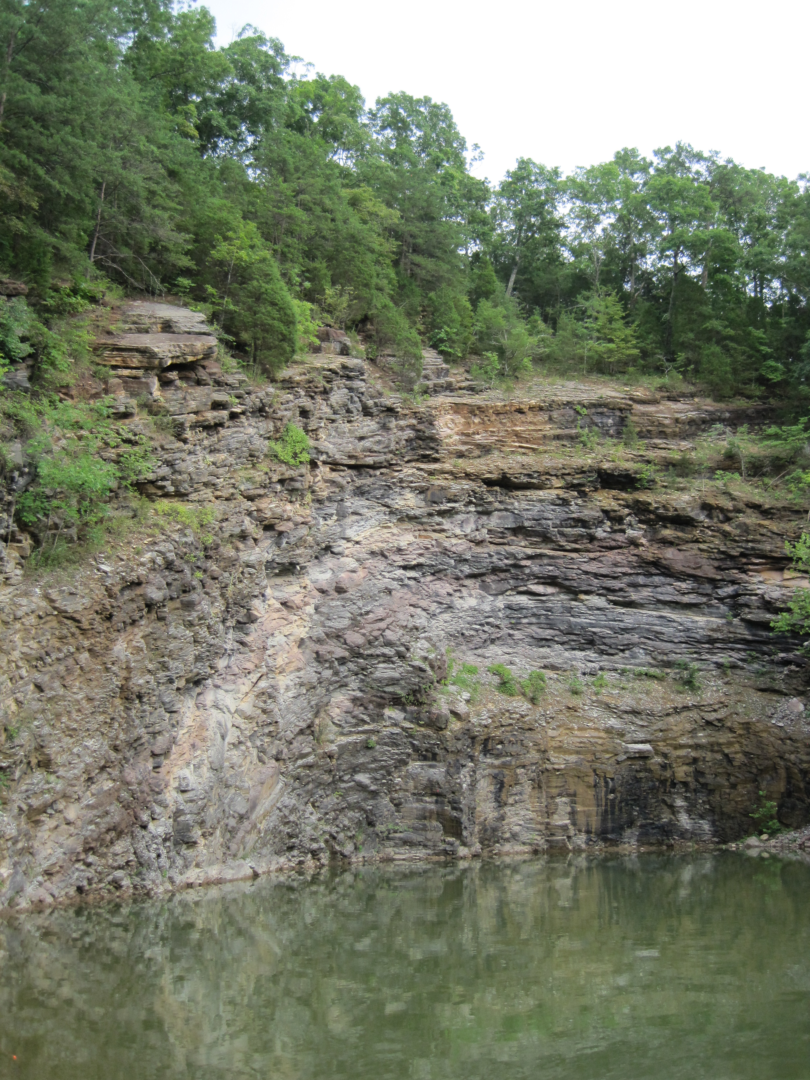
Stone Mtn. Quarry
rural tennessee
Topographic Map of Briar Thicket Rd, Bybee, TN, USA
Find elevation by address:

Places near Briar Thicket Rd, Bybee, TN, USA:
841 Briar Thicket Rd
White Rd, Bybee, TN, USA
1030 Creek Rd
485 Foxgate Trail
555 Airport Rd
135 Jetty Way
104 Briar Thicket Rd
1316 Murray Bridge Rd
Murray Bridge Road
1346 Goodwater Rd
1428 Goodwater Rd
12315 Warrensburg Rd
4154 High Point Way
Fish Hatchery Road
1172 Palmer Hollow Rd
1763 Goodwater Rd
1244 Bruner Grove Rd
Flea Ridge Rd, Mohawk, TN, USA
575 Lonesome Pine Rd
545 Oven Creek Ln
Recent Searches:
- Elevation of Elwyn Dr, Roanoke Rapids, NC, USA
- Elevation of Congressional Dr, Stevensville, MD, USA
- Elevation of Bellview Rd, McLean, VA, USA
- Elevation of Stage Island Rd, Chatham, MA, USA
- Elevation of Shibuya Scramble Crossing, 21 Udagawacho, Shibuya City, Tokyo -, Japan
- Elevation of Jadagoniai, Kaunas District Municipality, Lithuania
- Elevation of Pagonija rock, Kranto 7-oji g. 8"N, Kaunas, Lithuania
- Elevation of Co Rd 87, Jamestown, CO, USA
- Elevation of Tenjo, Cundinamarca, Colombia
- Elevation of Côte-des-Neiges, Montreal, QC H4A 3J6, Canada