Elevation of Jester Ct N E, Ranger, GA, USA
Location: United States > Georgia > Gordon County > Ranger >
Longitude: -84.672327
Latitude: 34.5724031
Elevation: 399m / 1309feet
Barometric Pressure: 97KPa
Elevation Map:
Satellite Map:
Related Photos:
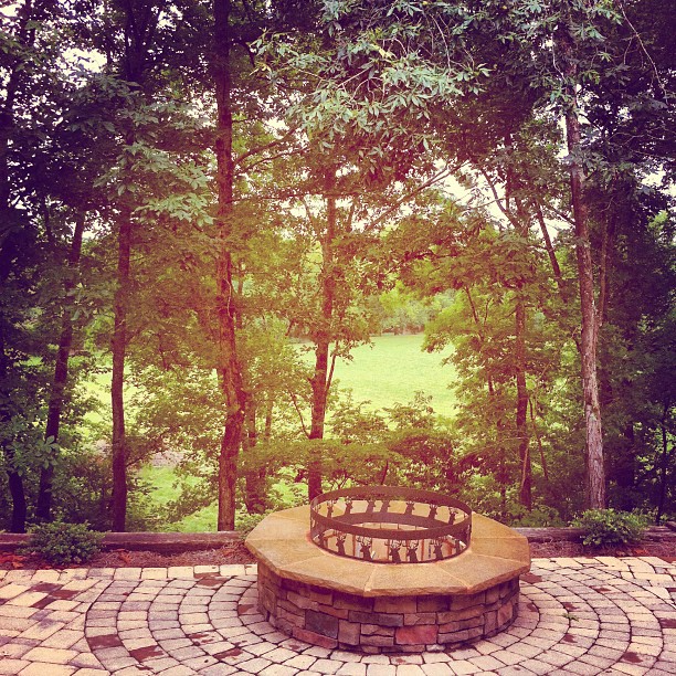
This view never gets old. #home
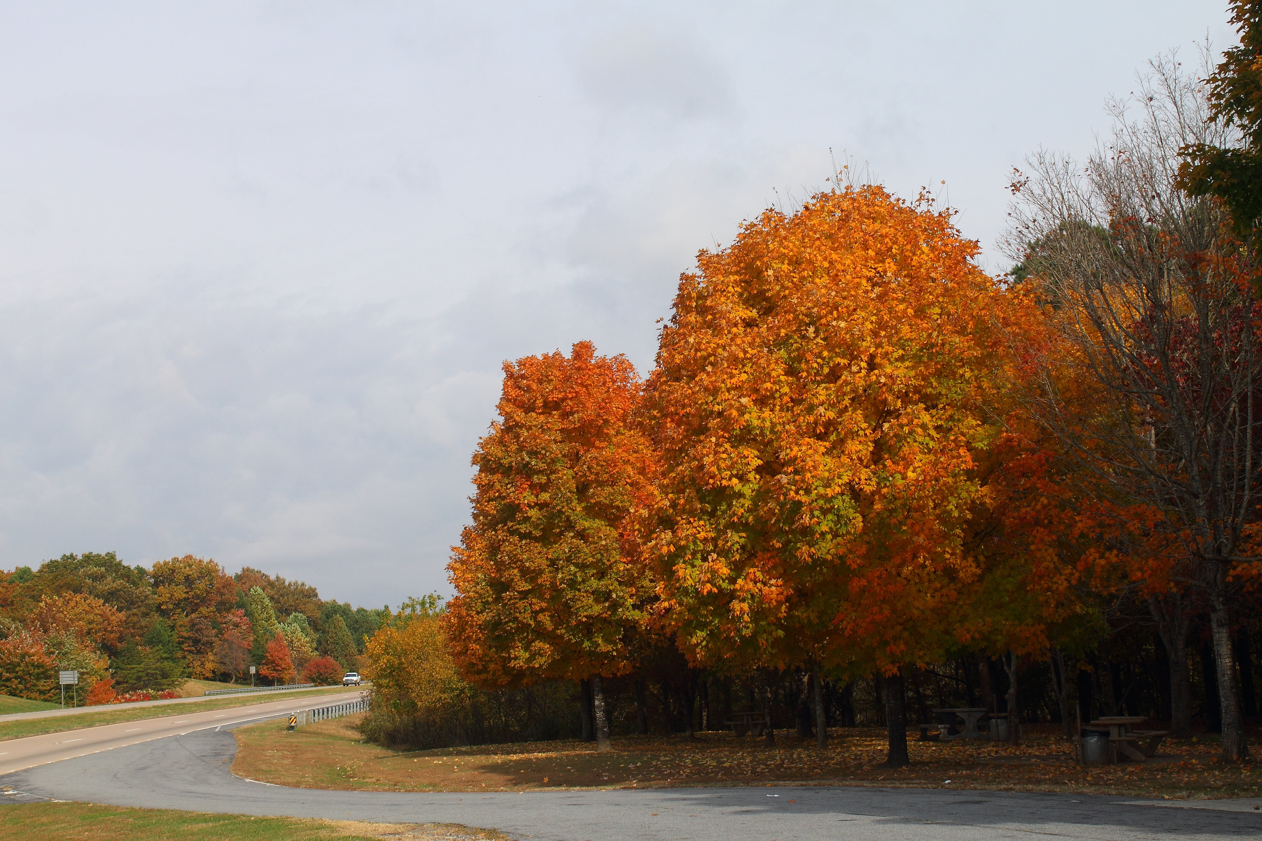
Approaching Ellijay, GA
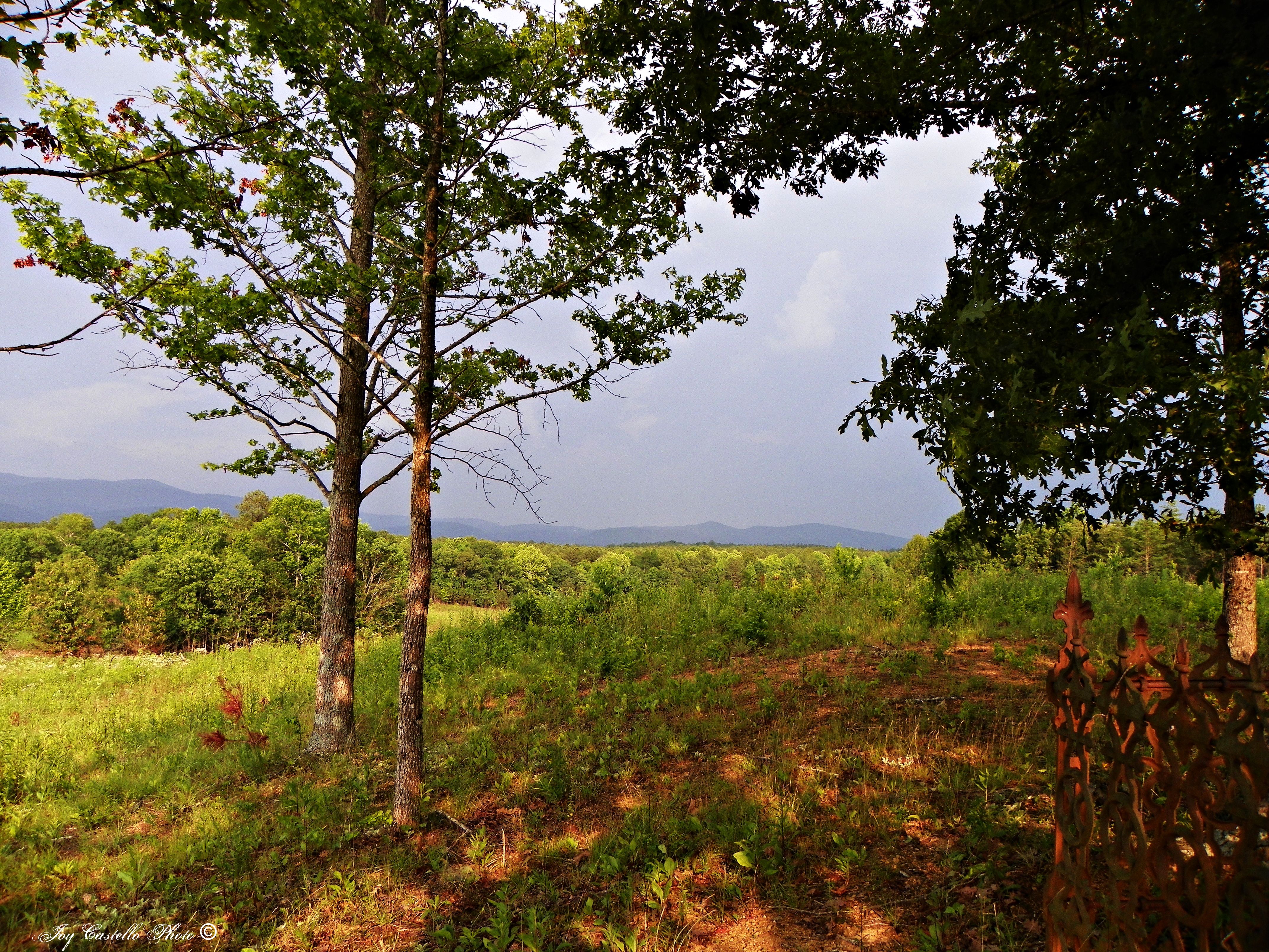
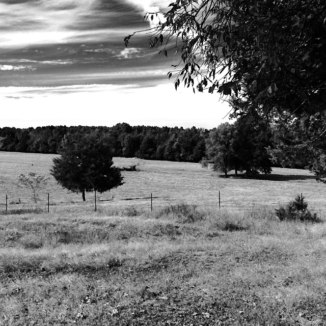
View From Connally Cemetery

A Lamp, A Birdhouse, A Tree, And A view
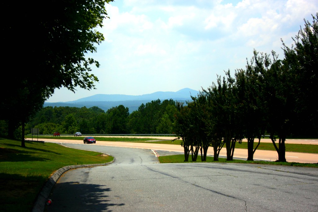
Scenic View

Scenic View
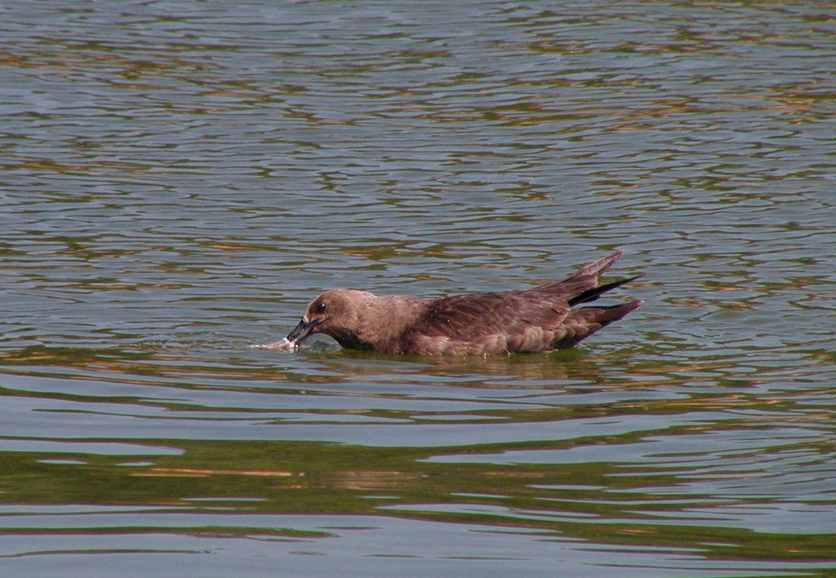
South Polar Skua. GMNH 6988. Carter's Lake, Gilmer County, 23 June 2007. Photoby Ken Blankenship

#cycling #calhoun #hugefarm @georgia_proud

This is my blow up hole. @sladefamily @falconcat1 #anazinggolf #cheating #gitrdun
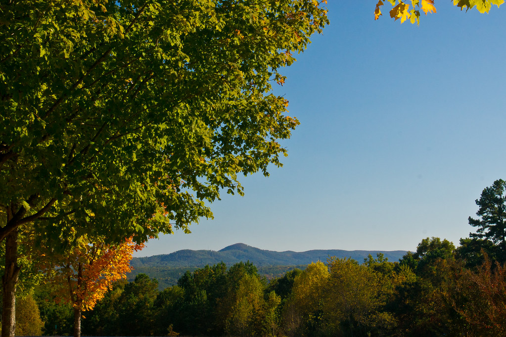
288/365 North Georgia Mountains
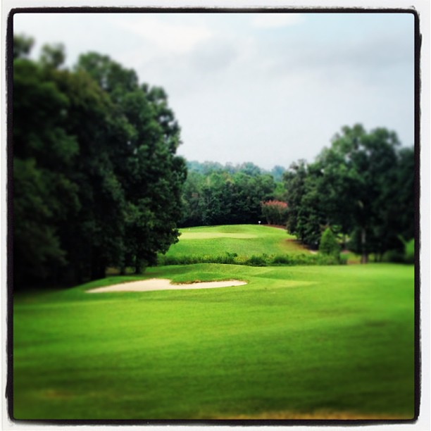
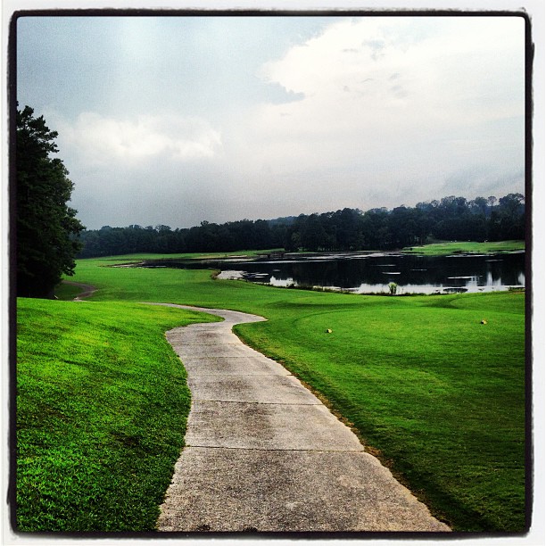
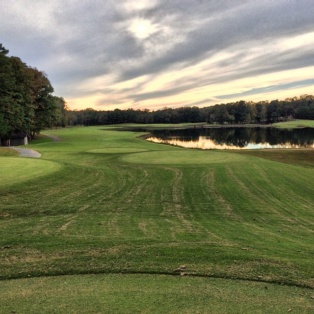
Behind T box on #6
The number 8 dog left. I lay up from here.
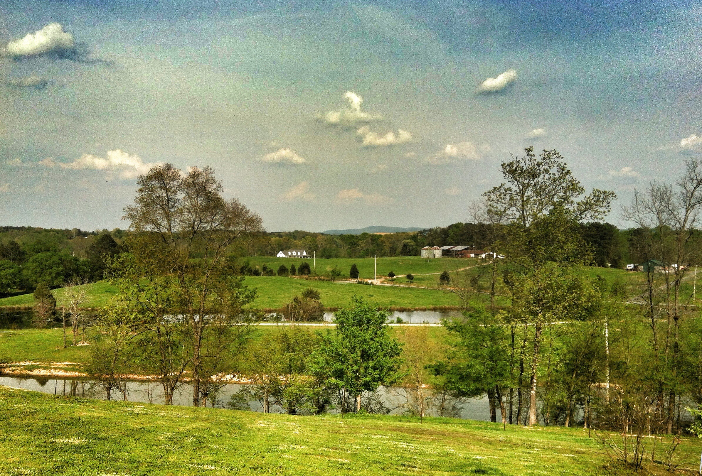
I'm grateful for the rolling hills that our friends show us...
Number 17 T. Are you kidding me? @falconcat1 @tmoss1214 @sladefamily
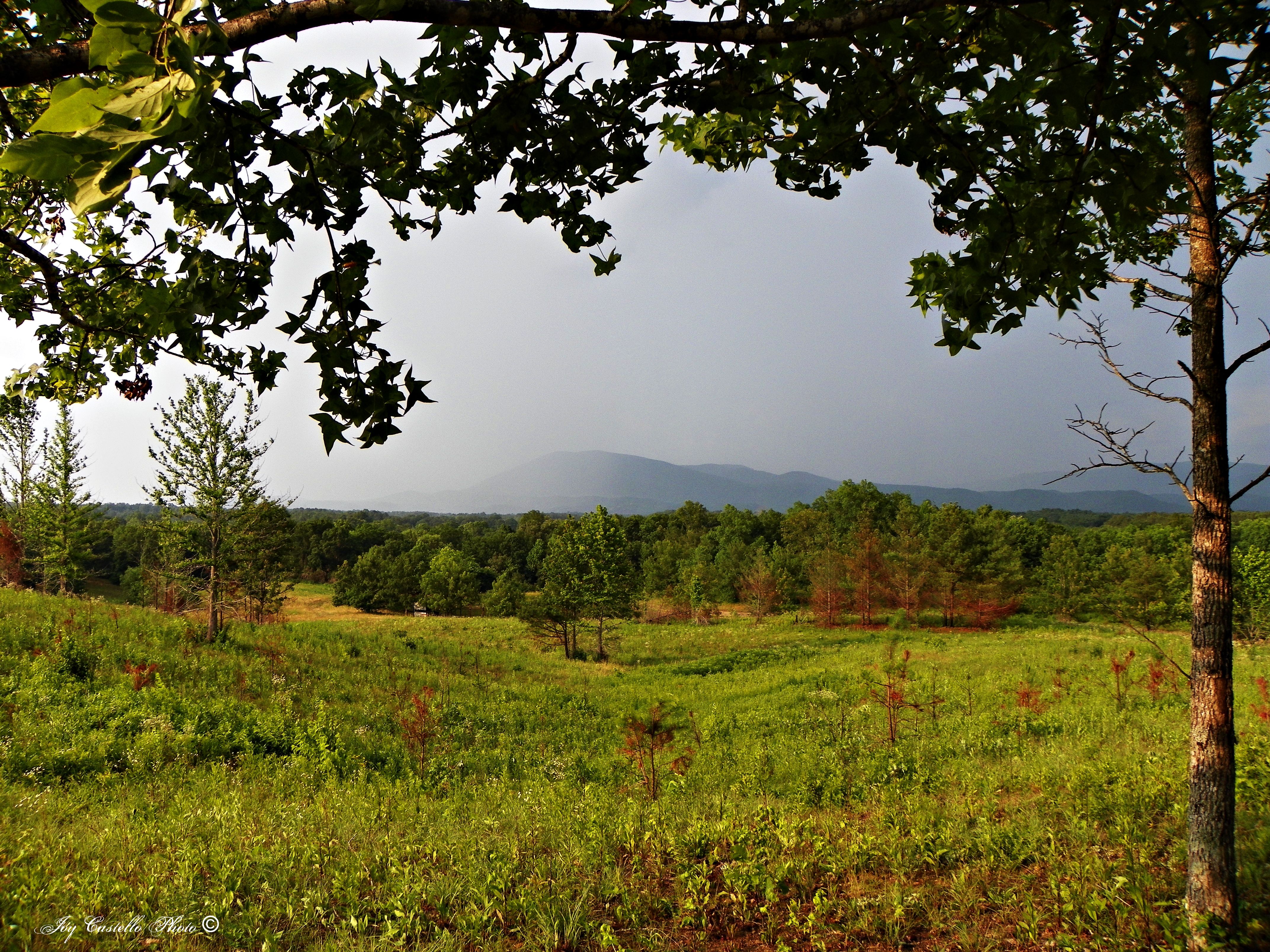
Fort Mountain From Connally Road
Number 3 T box.

Time for some Golf!
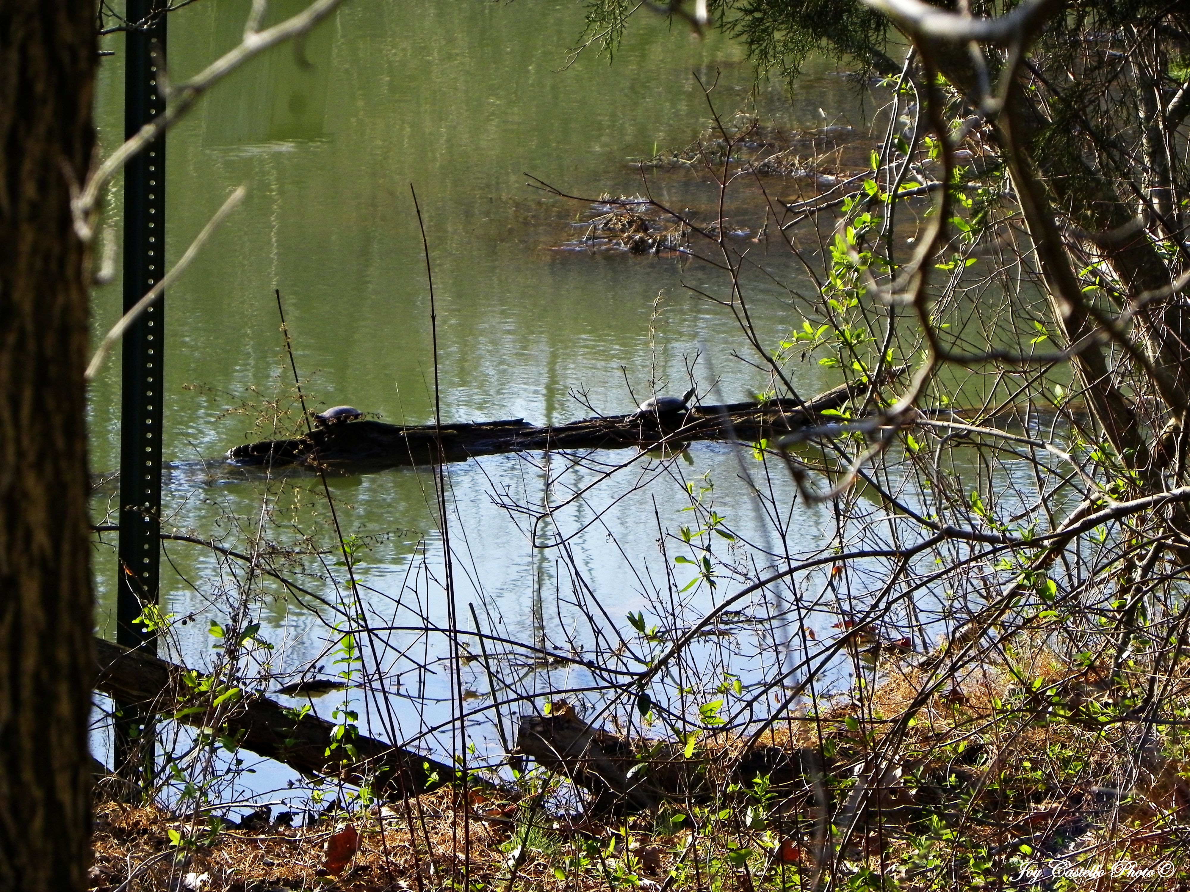
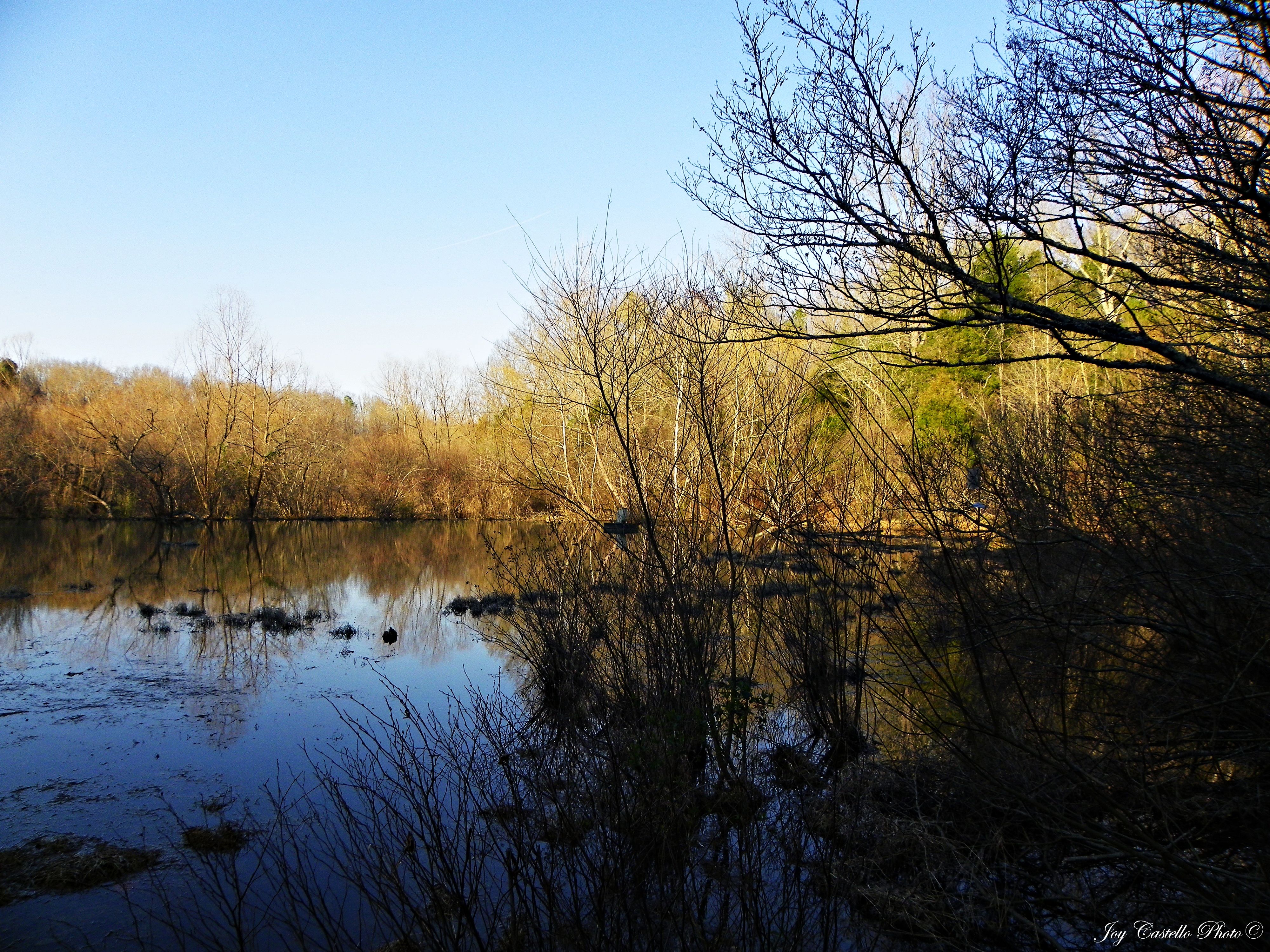
Turtles Sunning Themselves on a Log

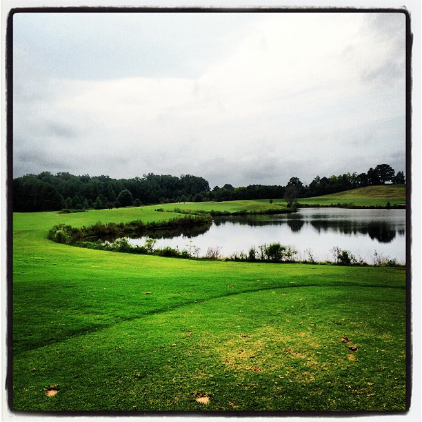
One can putt on these fairways. Amazing place. @bigbenny65 #backyardgolf @tmoss1214
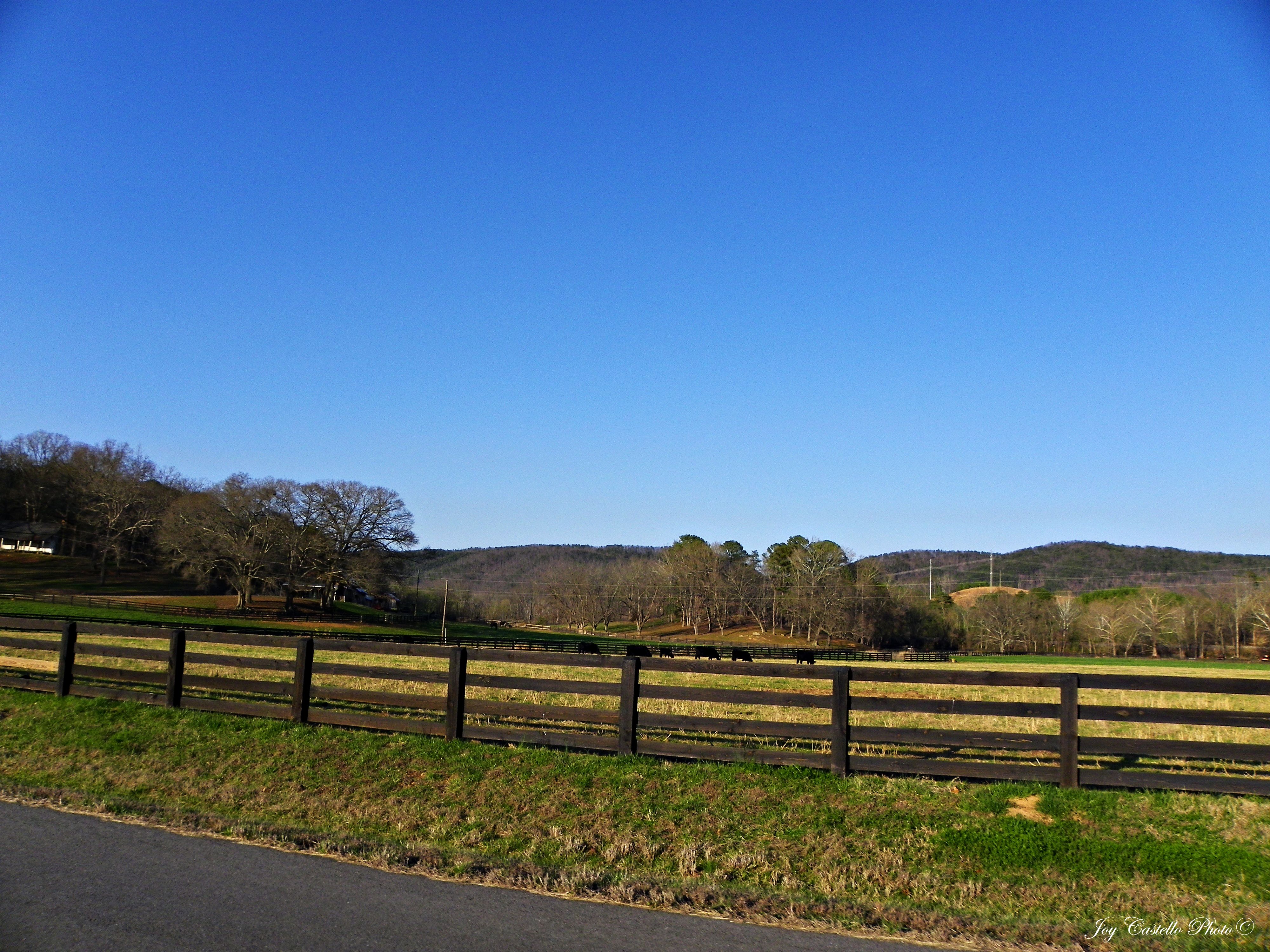
Cows on Farm: Murray County, Georgia
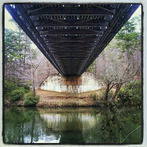
Fife Bridge i-phone

Sunset - May 23rd -
Ridgeway at Carters Lake-5
Wildlife Area Below Carters Lake Dam: Murray County, Georgia
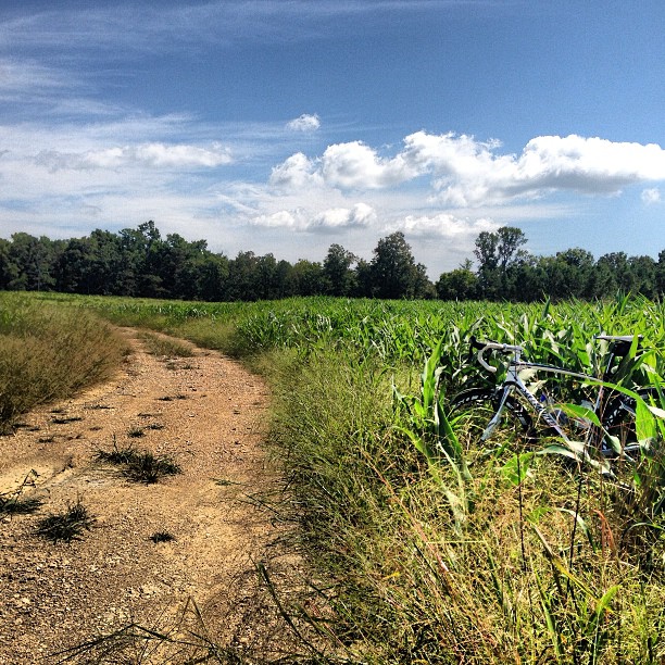
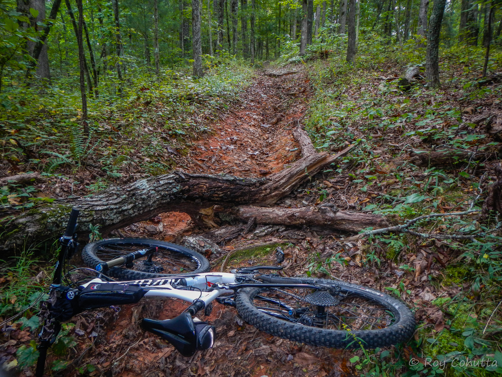
Garmin's mapping software for route planning blows. #epicfail #ridingcornfields
#16 again. "So I backtracked a tad" #cheating #dumbanddumber

infinity plus one
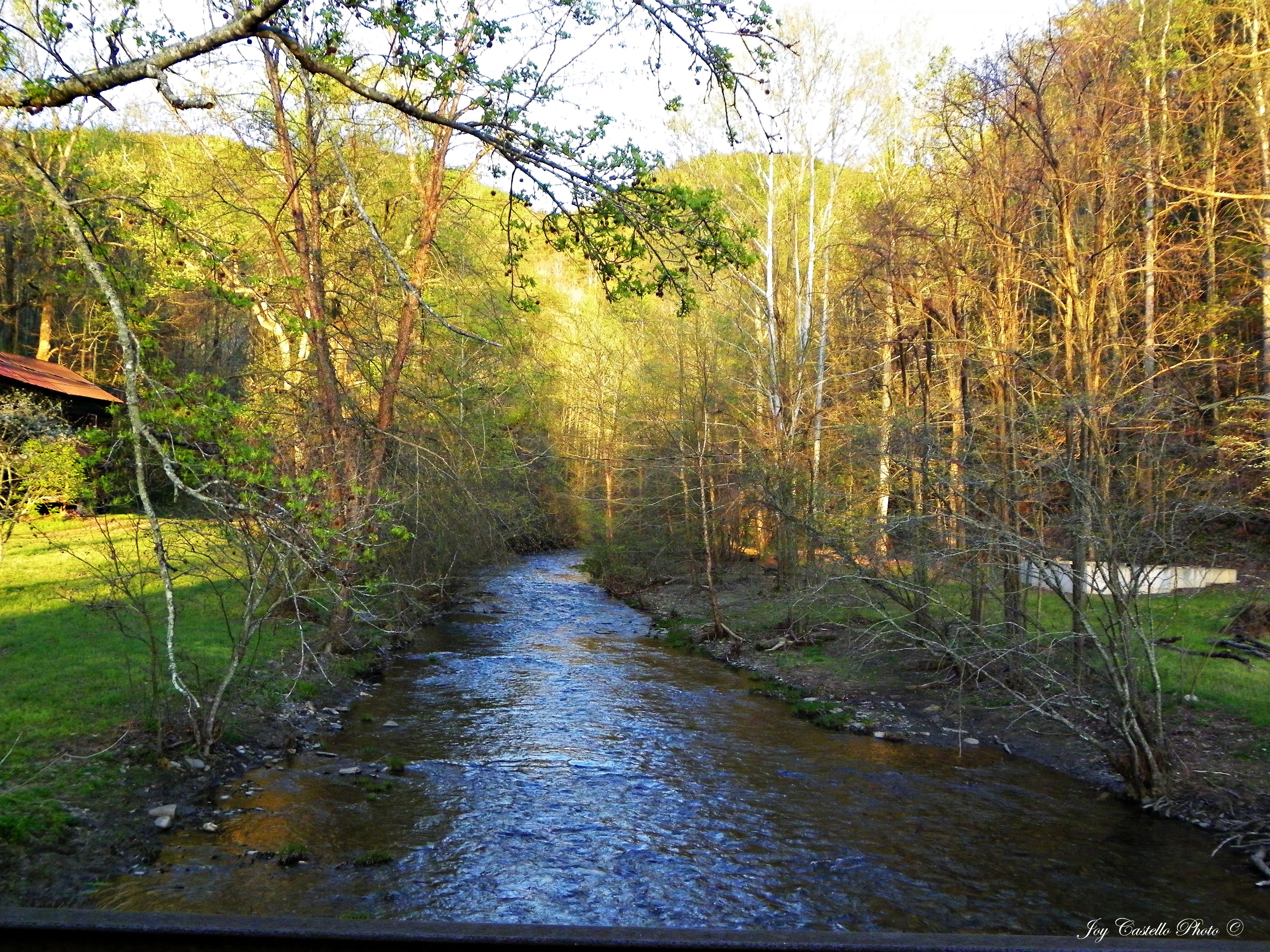
Rock Creek & Dennis Mill: Dennis Mill Road
Topographic Map of Jester Ct N E, Ranger, GA, USA
Find elevation by address:

Places near Jester Ct N E, Ranger, GA, USA:
314 Oberlin Ct
1586 Paladin Dr Ne
733 Nettles Ln
251 Dally Cove Rd Ne
Carters Dam Road
Rebekah Ridge Road
Riverbend Cabin
87 Cougar Ln
1421 Hannah Dr Ne
US-, Fairmount, GA, USA
590 Finale St
590 Finale St
1363 Foxhound Trail Ne #0
490 Finale St
Camp Branch Road
Big Ridge Rd, Talking Rock, GA, USA
1421 Hanna Dr
1353 Hunter Dr
Carters Rd, Chatsworth, GA, USA
1341 Hunter Dr
Recent Searches:
- Elevation of Côte-des-Neiges, Montreal, QC H4A 3J6, Canada
- Elevation of Bobcat Dr, Helena, MT, USA
- Elevation of Zu den Ihlowbergen, Althüttendorf, Germany
- Elevation of Badaber, Peshawar, Khyber Pakhtunkhwa, Pakistan
- Elevation of SE Heron Loop, Lincoln City, OR, USA
- Elevation of Slanický ostrov, 01 Námestovo, Slovakia
- Elevation of Spaceport America, Co Rd A, Truth or Consequences, NM, USA
- Elevation of Warwick, RI, USA
- Elevation of Fern Rd, Whitmore, CA, USA
- Elevation of 62 Abbey St, Marshfield, MA, USA