Elevation of Carters Dam Road, Carters Dam Rd, Chatsworth, GA, USA
Location: United States > Georgia > Murray County > Chatsworth >
Longitude: -84.661350
Latitude: 34.5982033
Elevation: 317m / 1040feet
Barometric Pressure: 98KPa
Elevation Map:
Satellite Map:
Related Photos:
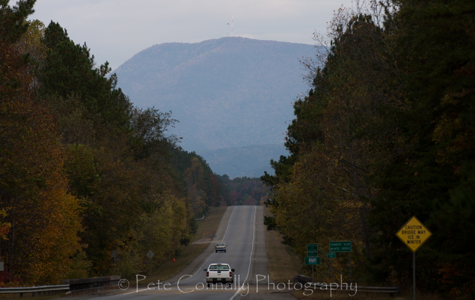
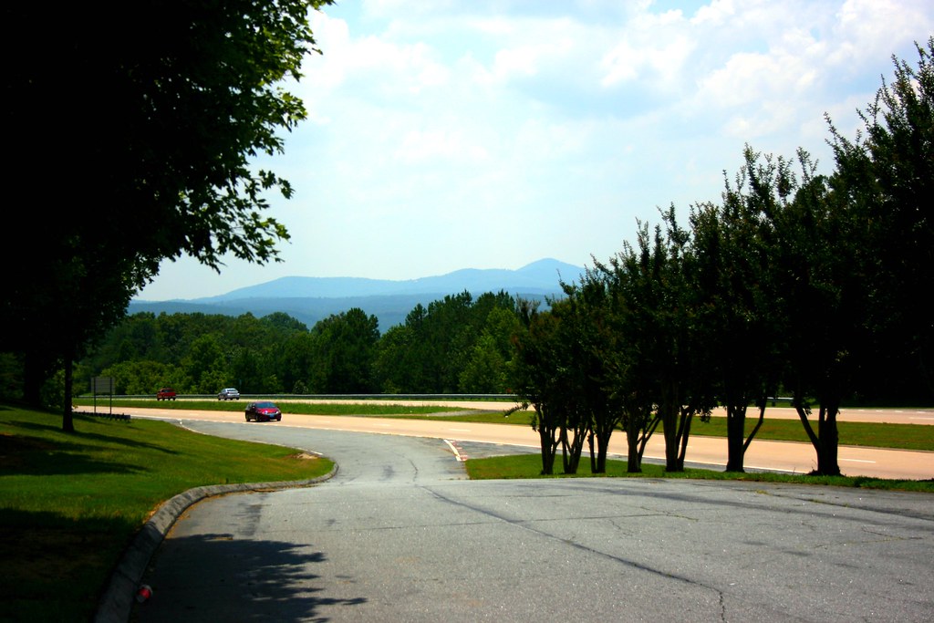
Road to Chatsworth
A nice view. Worth the stop. #sufferfest #cycling @georgia_proud
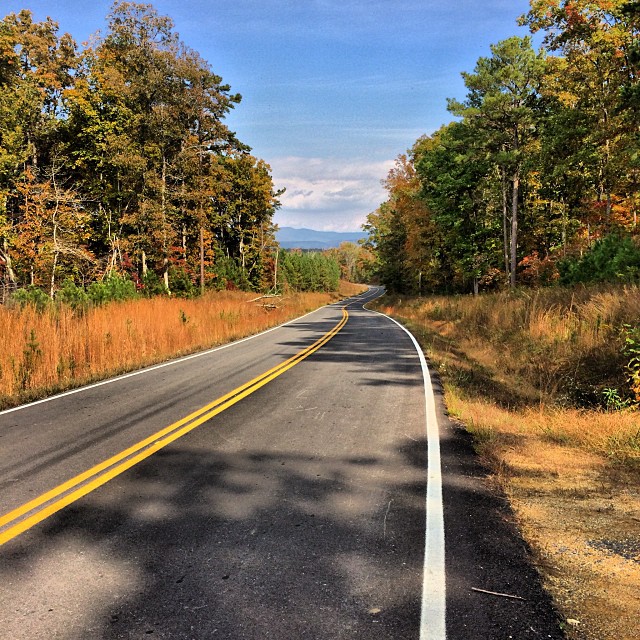
Approaching Ellijay, GA
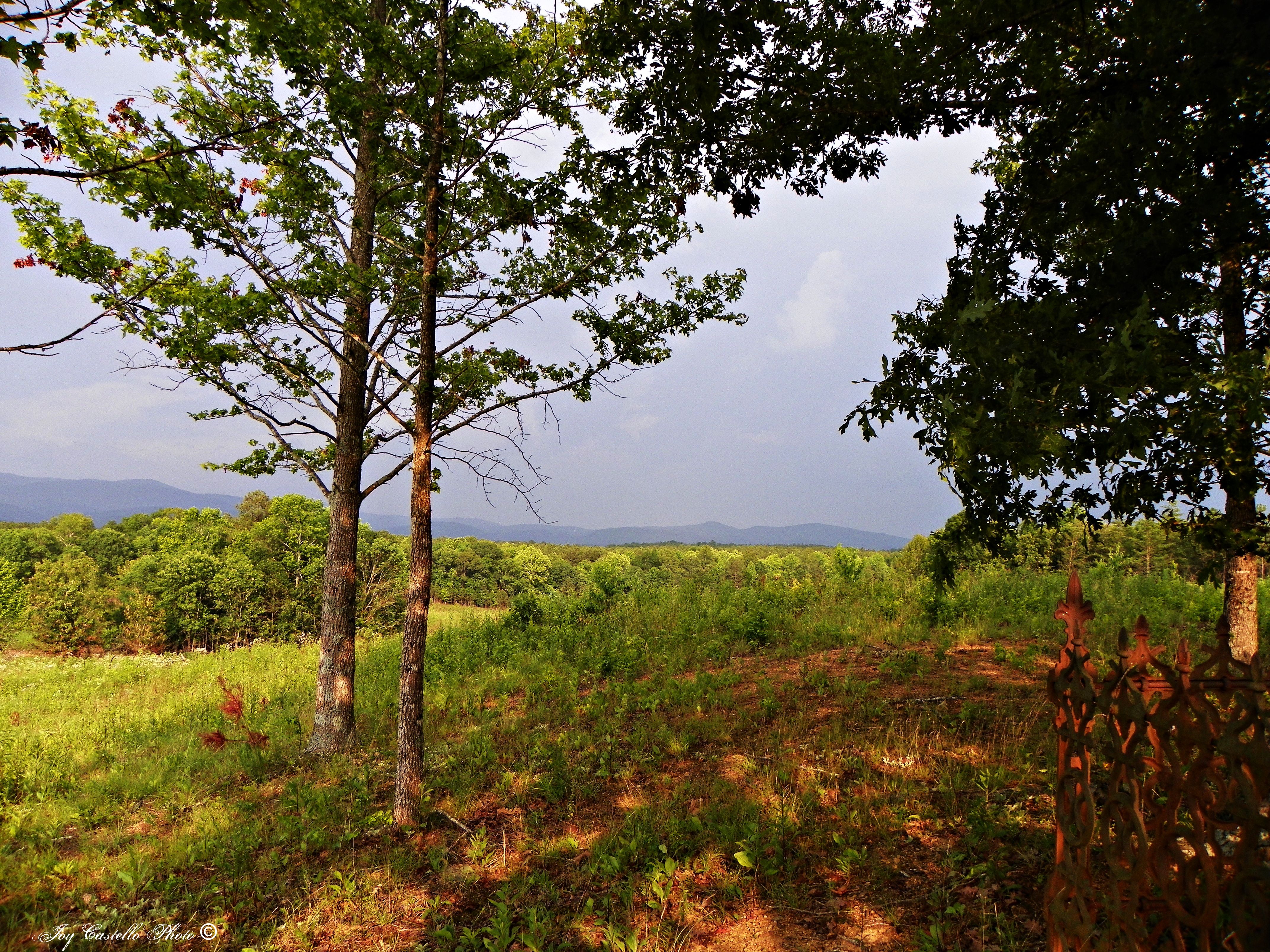
View From Connally Cemetery
The View From the Window
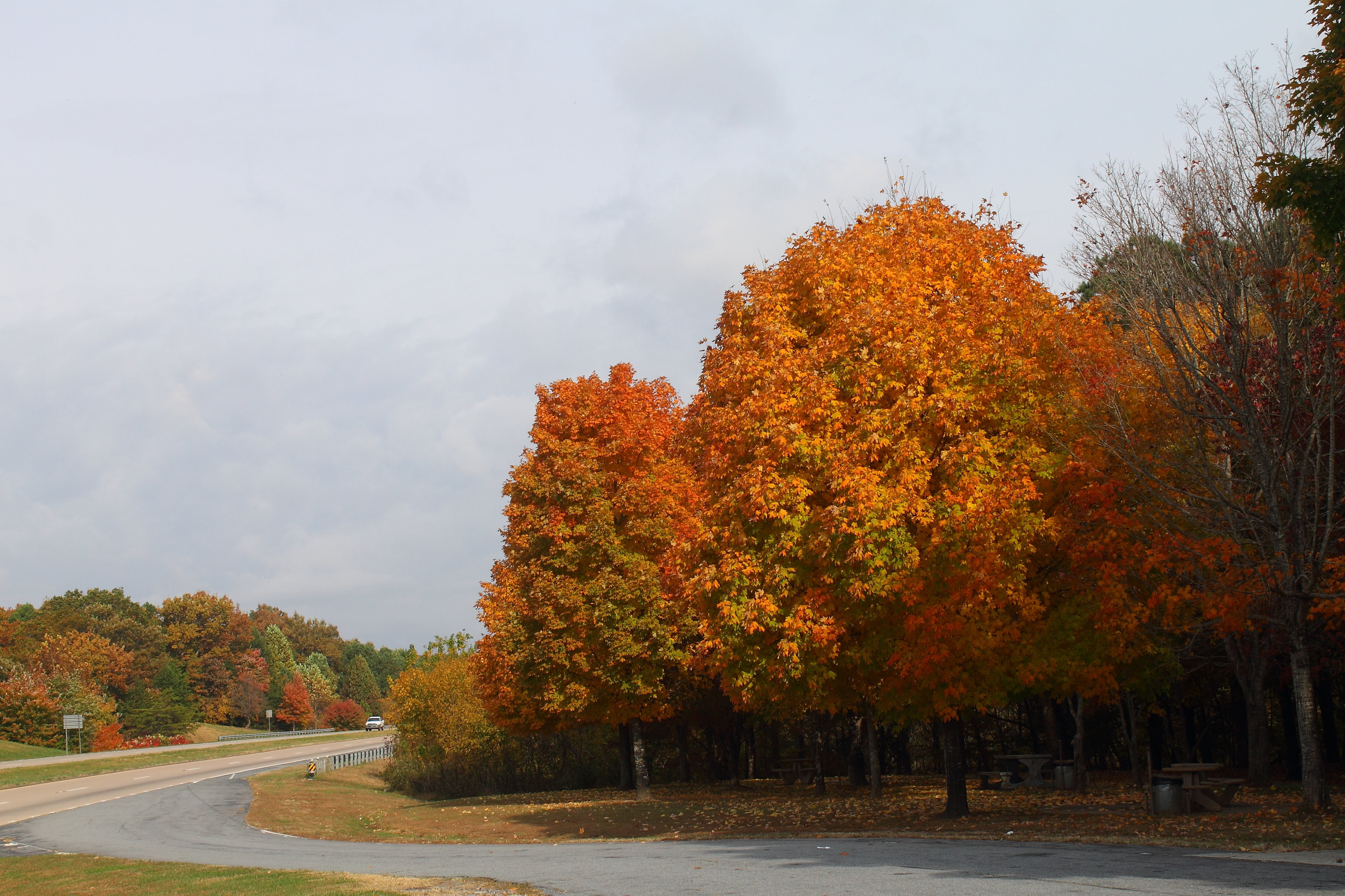
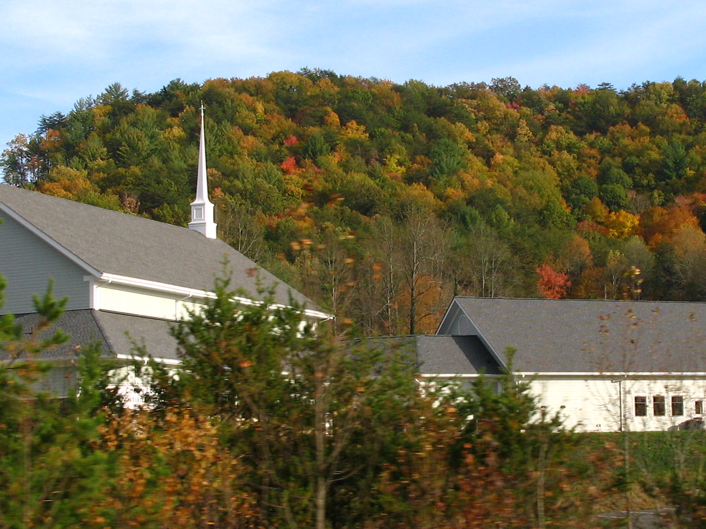
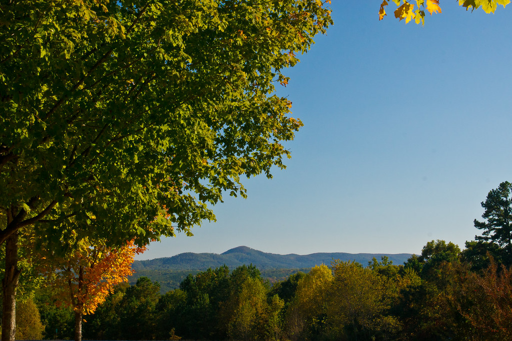
Scenic View

South Polar Skua. GMNH 6988. Carter's Lake, Gilmer County, 23 June 2007. Photoby Ken Blankenship
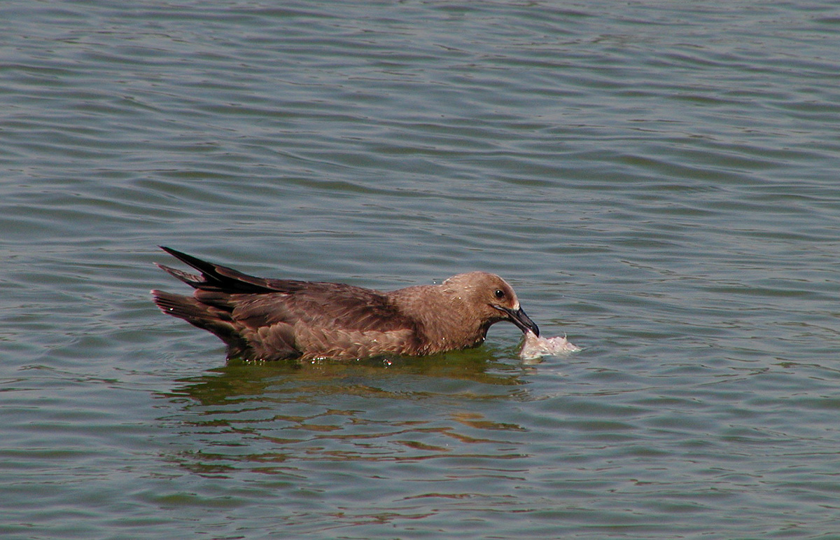
South Polar Skua. GMNH 6988. Carter's Lake, Gilmer County, 23 June 2007. Photoby Ken Blankenship

A Lamp, A Birdhouse, A Tree, And A view

Scenic View
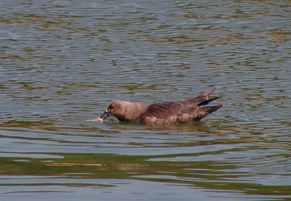
South Polar Skua. GMNH 6988. Carter's Lake, Gilmer County, 23 June 2007. Photoby Ken Blankenship
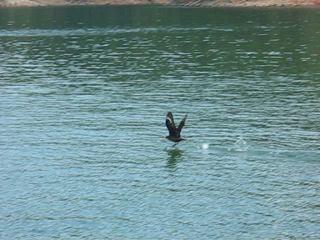
South Polar Skua. GMNH 6988. Carter's Lake, Gilmer County, 23 June 2007. Video by Rachel Cass (Holzman)
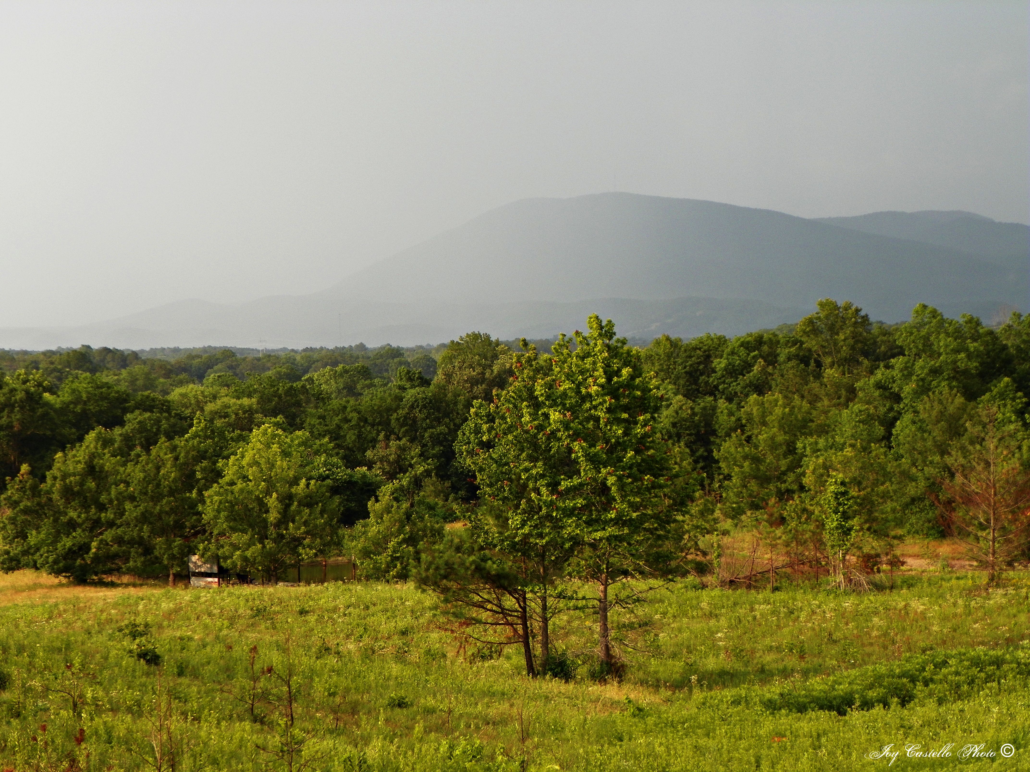
Fort Mountain: Taken on Connally Road

#cycling #calhoun #hugefarm @georgia_proud
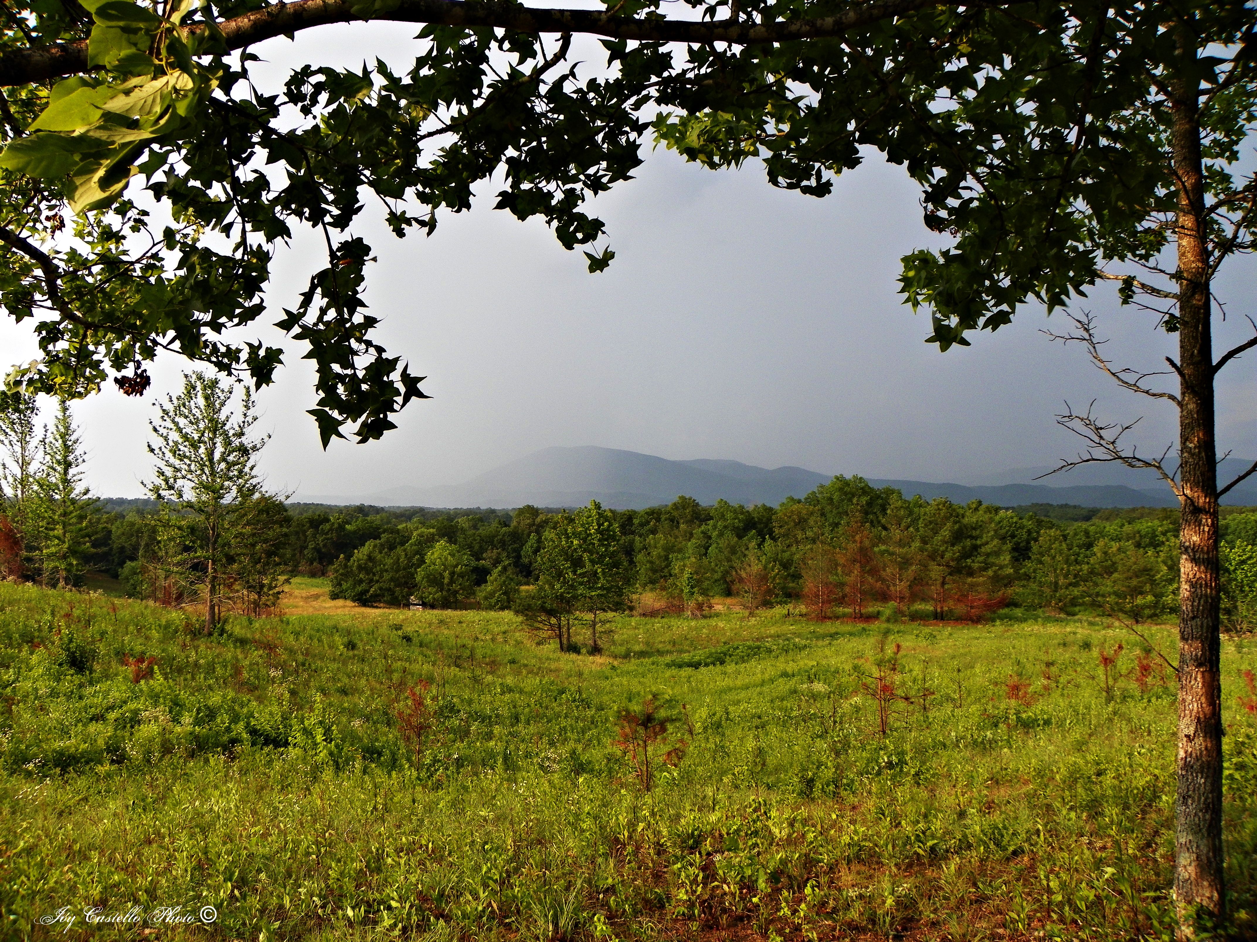
288/365 North Georgia Mountains
Fort Mountain From Connally Road
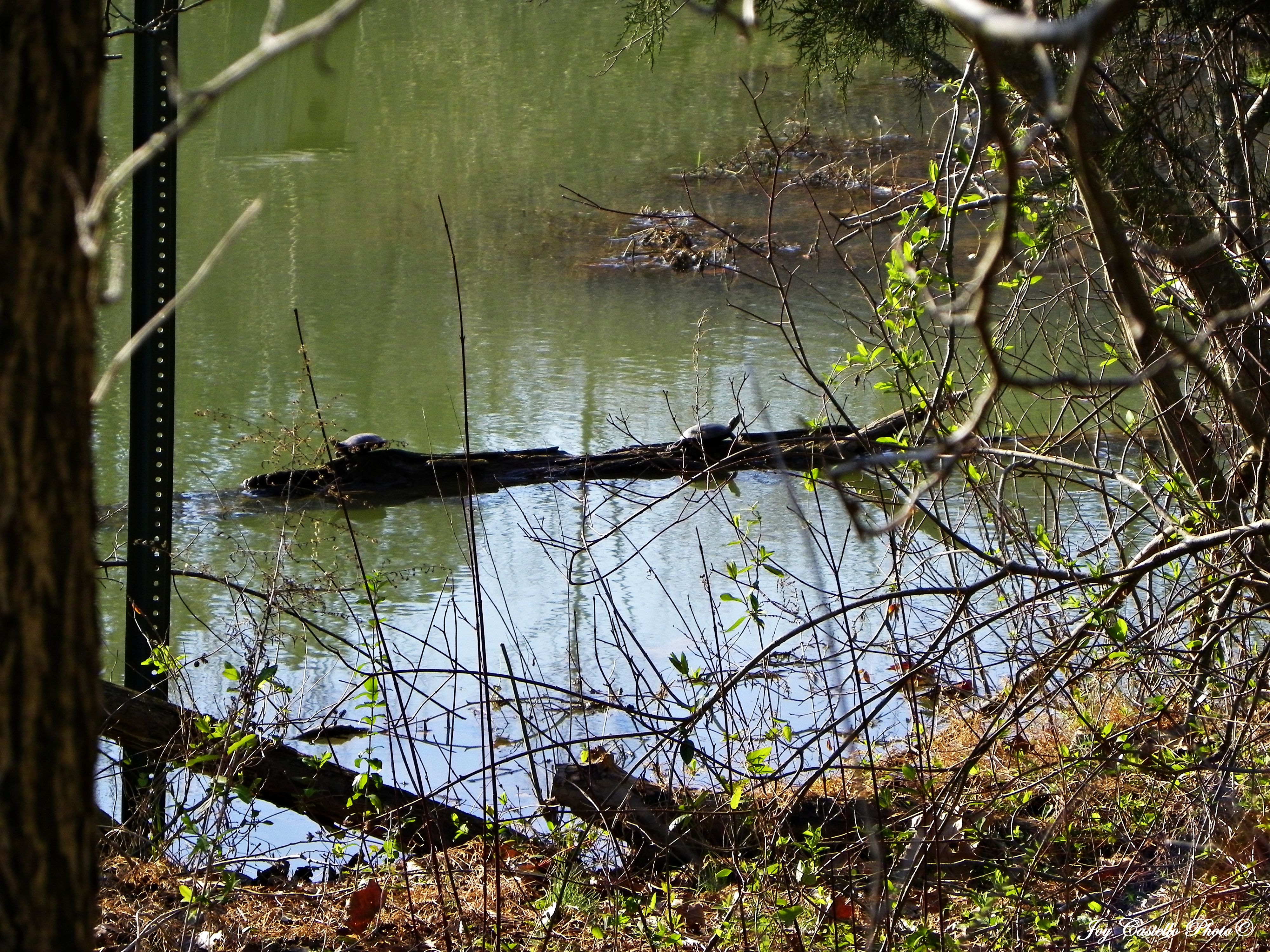
Turtles Sunning Themselves on a Log
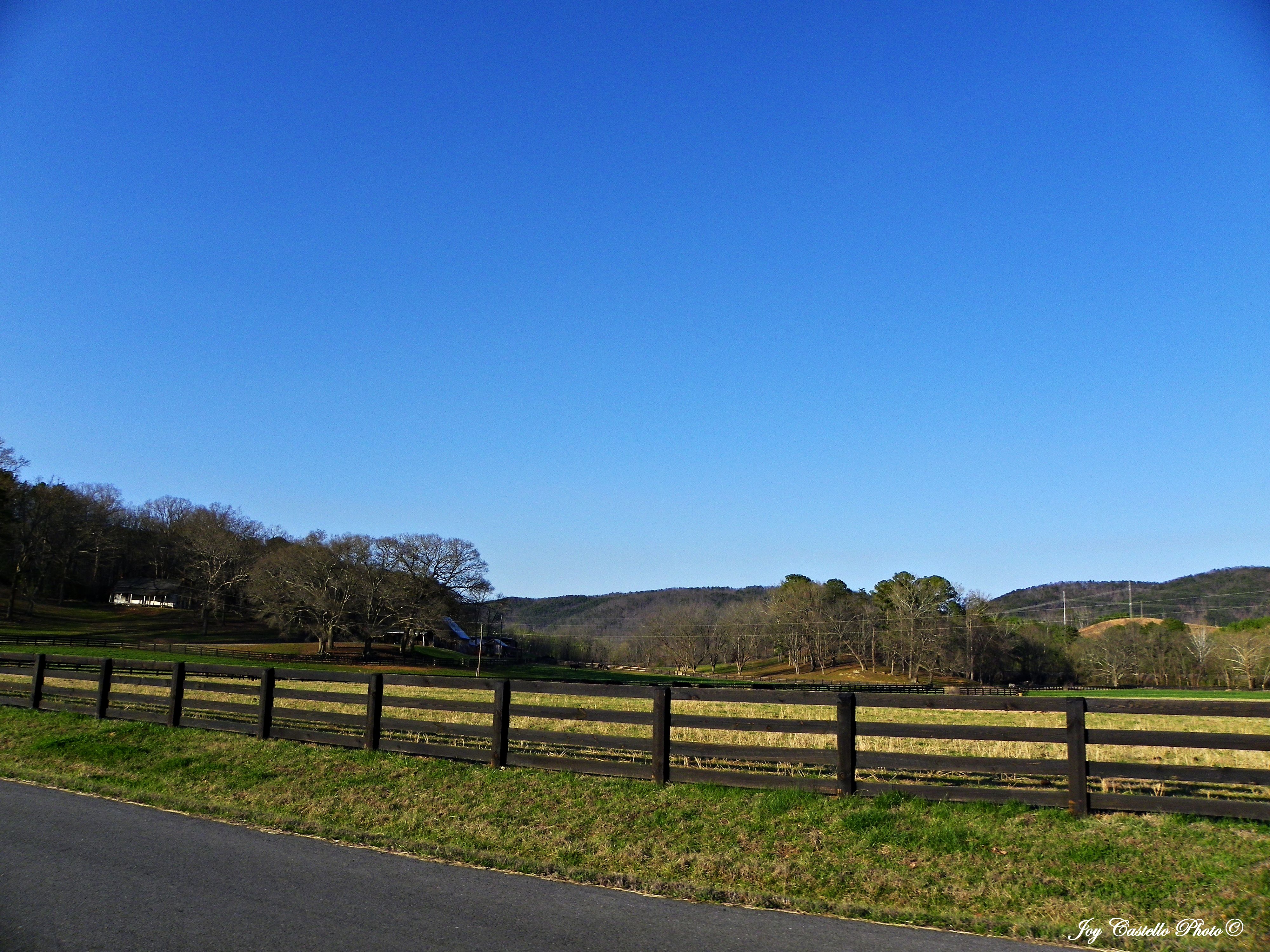
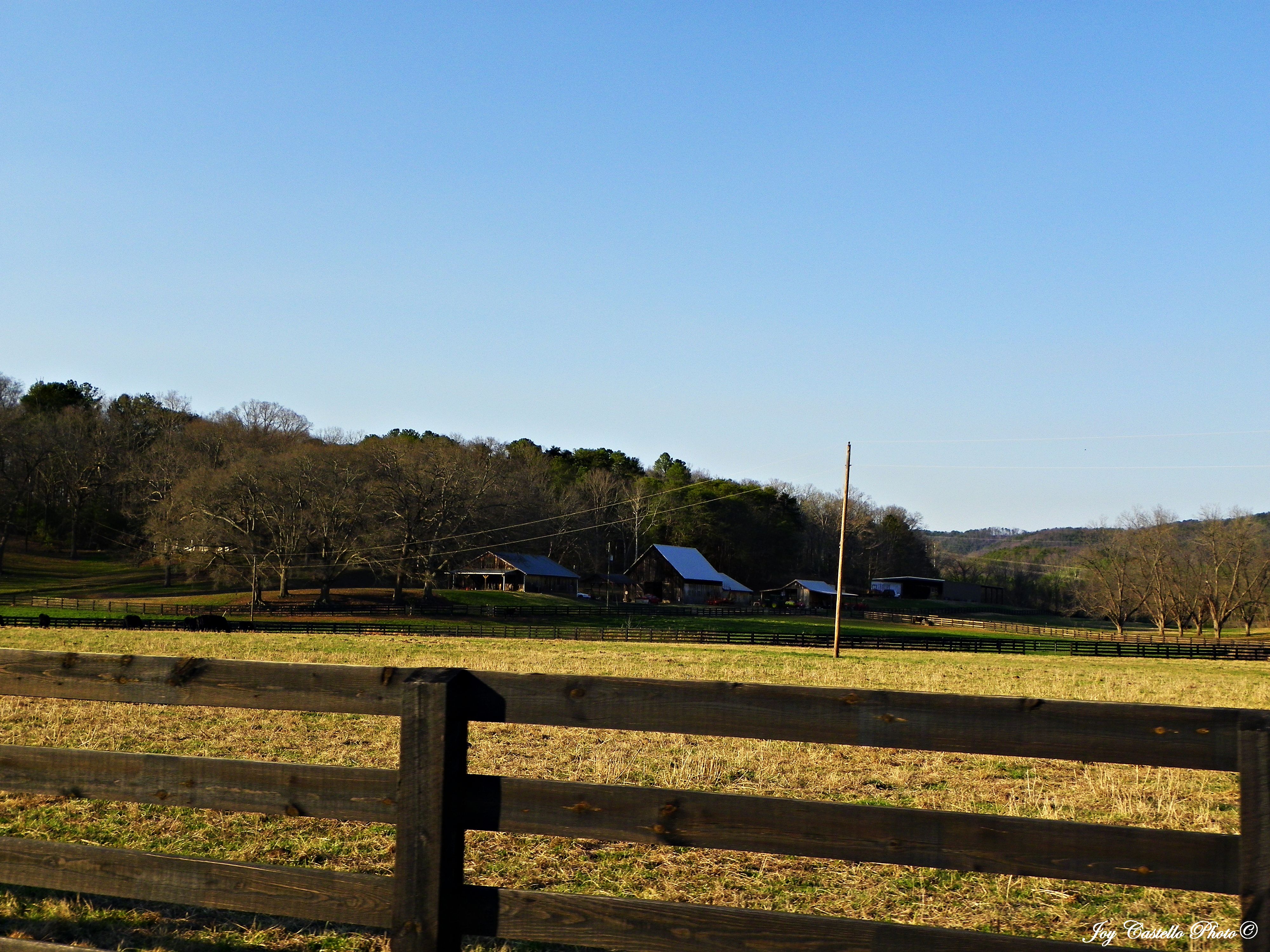
Farm in Murray County, Georgia

Sunset - May 23rd -
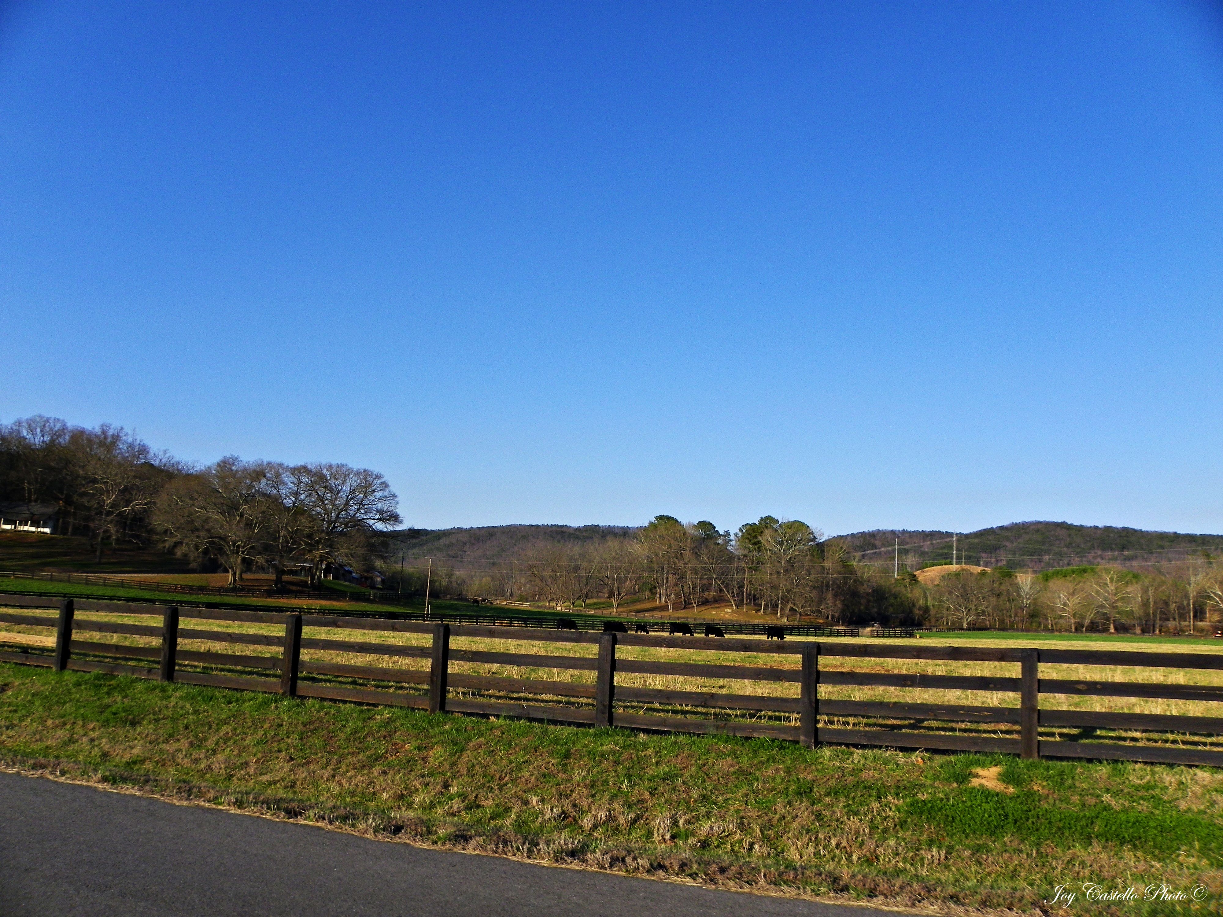
Cows on Farm: Murray County, Georgia
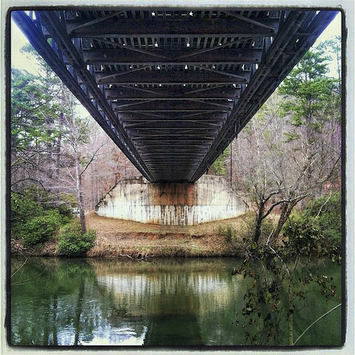
Fife Bridge i-phone
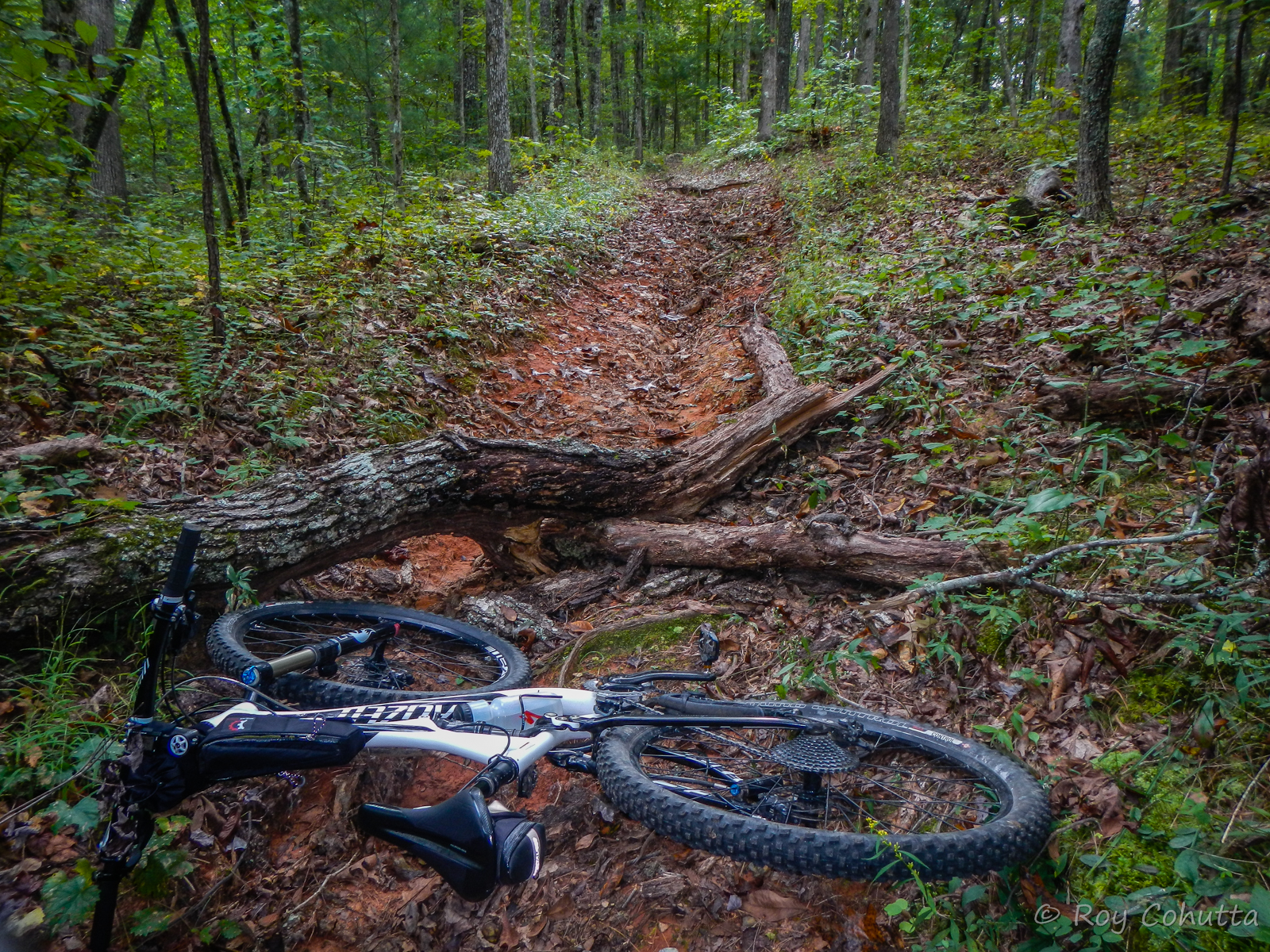
Ridgeway at Carters Lake-5
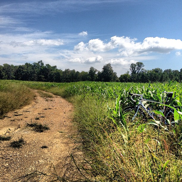
Garmin's mapping software for route planning blows. #epicfail #ridingcornfields
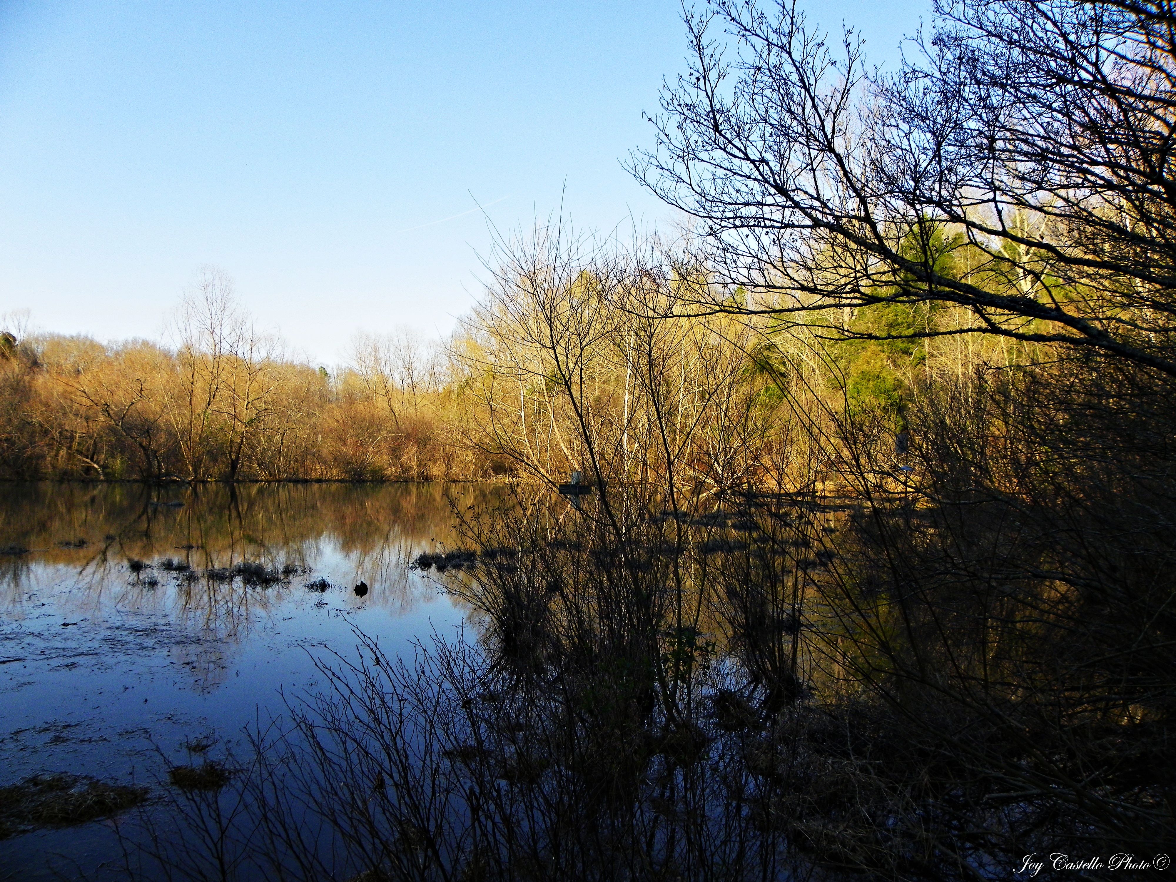
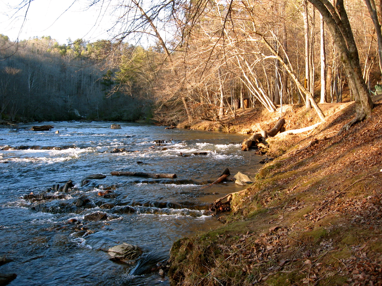
Wildlife Area Below Carters Lake Dam: Murray County, Georgia
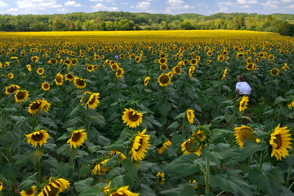
hide and seek

infinity plus one
Farm: Murray County, Georgia

Canada Geese in Field: Murray County, Georgia
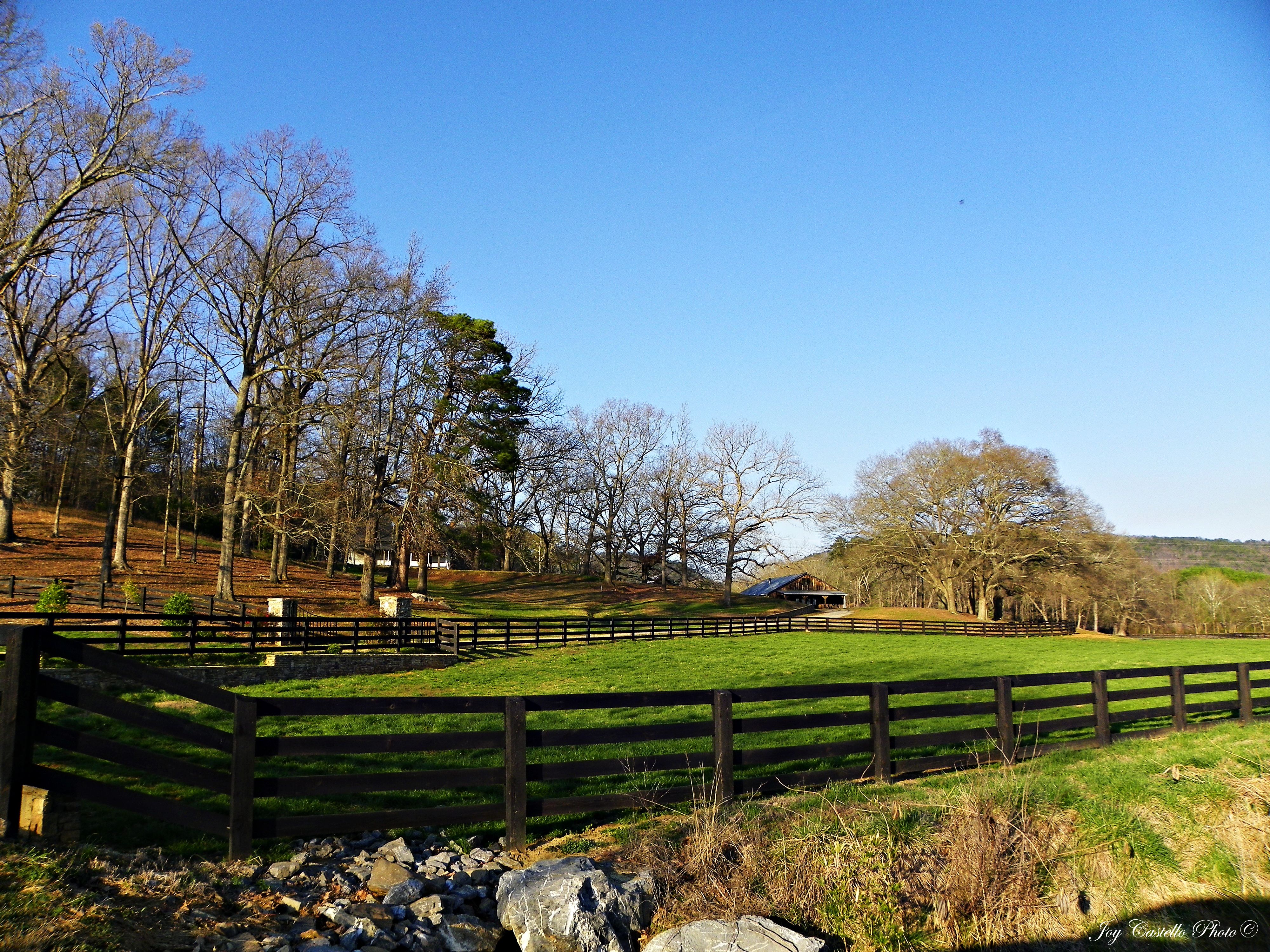
Fence & Barns: Murray County, Georgia
IMG_1432.JPG

Ridgeway at Carters Lake-4

Overlook Descending into Dennis Mill
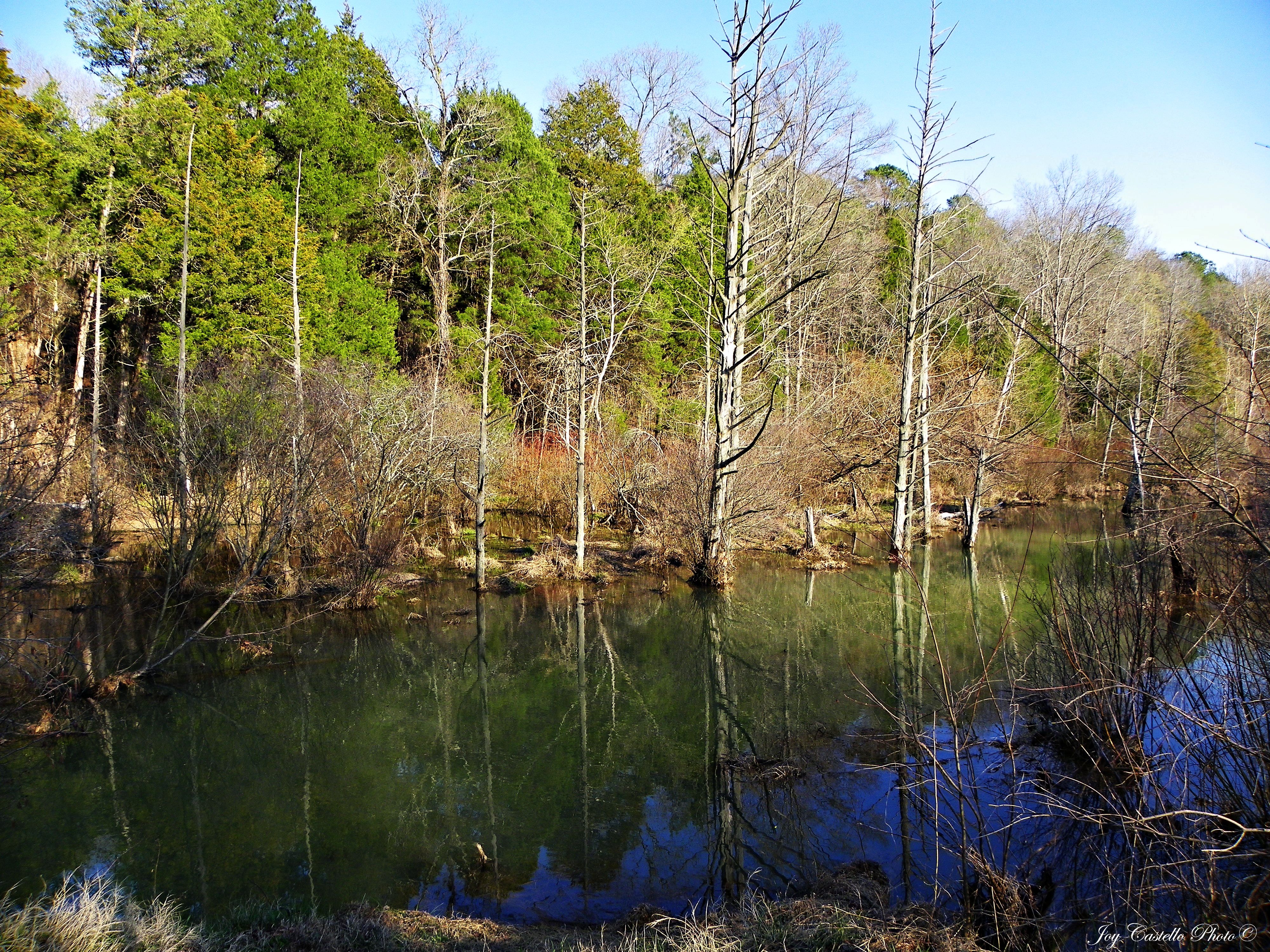
Wildlife Area Below Carters Lake Dam: Murray County, Georgia
Topographic Map of Carters Dam Road, Carters Dam Rd, Chatsworth, GA, USA
Find elevation by address:

Places near Carters Dam Road, Carters Dam Rd, Chatsworth, GA, USA:
314 Oberlin Ct
1586 Paladin Dr Ne
394 Jester Ct N E
Camp Branch Road
254 Scott Dr
Carters Rd, Chatsworth, GA, USA
Woodring Branch Camp Ground
733 Nettles Ln
251 Dally Cove Rd Ne
76 Lake Ridge Dr
Riverbend Cabin
471 Camp Branch Rd
471 Camp Branch Rd
2375 Camp Branch Rd
Rebekah Ridge Road
87 Cougar Ln
590 Finale St
590 Finale St
490 Finale St
Banks Chapel Rd NE, Ranger, GA, USA
Recent Searches:
- Elevation of Zimmer Trail, Pennsylvania, USA
- Elevation of 87 Kilmartin Ave, Bristol, CT, USA
- Elevation of Honghe National Nature Reserve, QP95+PJP, Tongjiang, Heilongjiang, Jiamusi, Heilongjiang, China
- Elevation of Hercules Dr, Colorado Springs, CO, USA
- Elevation of Szlak pieszy czarny, Poland
- Elevation of Griffing Blvd, Biscayne Park, FL, USA
- Elevation of Kreuzburger Weg 13, Düsseldorf, Germany
- Elevation of Gateway Blvd SE, Canton, OH, USA
- Elevation of East W.T. Harris Boulevard, E W.T. Harris Blvd, Charlotte, NC, USA
- Elevation of West Sugar Creek, Charlotte, NC, USA