Elevation of Jarogo Waterfall, Jarogo Valley، Swat, Khyber Pakhtunkhwa, Pakistan
Location: Pakistan > Khyber Pakhtunkhwa > Swat >
Longitude: 72.2115925
Latitude: 35.103334
Elevation: -10000m / -32808feet
Barometric Pressure: 295KPa
Elevation Map:
Satellite Map:
Related Photos:

Human(s) of Pakistan - Harnoi Khwar - Khyber Pakhtunkhwa - Pakistan
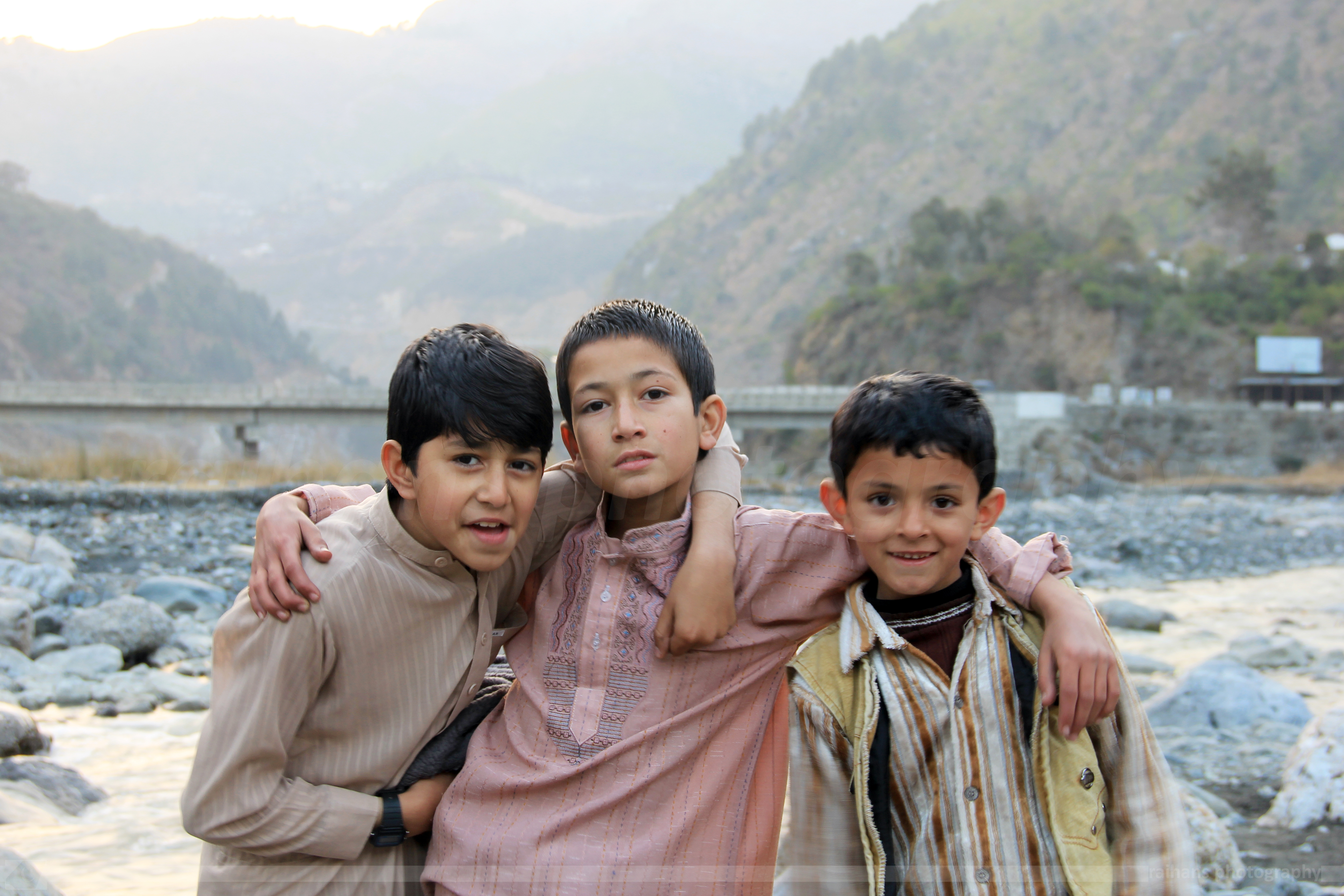
Human(s) of Pakistan - Harnoi Khwar - Khyber Pakhtunkhwa - Pakistan

Mesmerizing Eyes...

Expressive..

At Hotel Mid-Hills, Kalam, Swat.
Topographic Map of Jarogo Waterfall, Jarogo Valley، Swat, Khyber Pakhtunkhwa, Pakistan
Find elevation by address:

Places near Jarogo Waterfall, Jarogo Valley، Swat, Khyber Pakhtunkhwa, Pakistan:
Kakad
Khyber Pakhtunkhwa
Wari
Darora
Kabal
Toormang
Bibyawar
Asbanr
Kanju
Cadet College Swat
Chukiatan Bazaar
Kabal
Saidu Sharif Airport
Madyan
Ningolai Village
Ningolai Village
Swat
Hotel Swat Regency
Khyber Shinwari Restaurant
Relax Food Point
Recent Searches:
- Elevation of Elwyn Dr, Roanoke Rapids, NC, USA
- Elevation of Congressional Dr, Stevensville, MD, USA
- Elevation of Bellview Rd, McLean, VA, USA
- Elevation of Stage Island Rd, Chatham, MA, USA
- Elevation of Shibuya Scramble Crossing, 21 Udagawacho, Shibuya City, Tokyo -, Japan
- Elevation of Jadagoniai, Kaunas District Municipality, Lithuania
- Elevation of Pagonija rock, Kranto 7-oji g. 8"N, Kaunas, Lithuania
- Elevation of Co Rd 87, Jamestown, CO, USA
- Elevation of Tenjo, Cundinamarca, Colombia
- Elevation of Côte-des-Neiges, Montreal, QC H4A 3J6, Canada