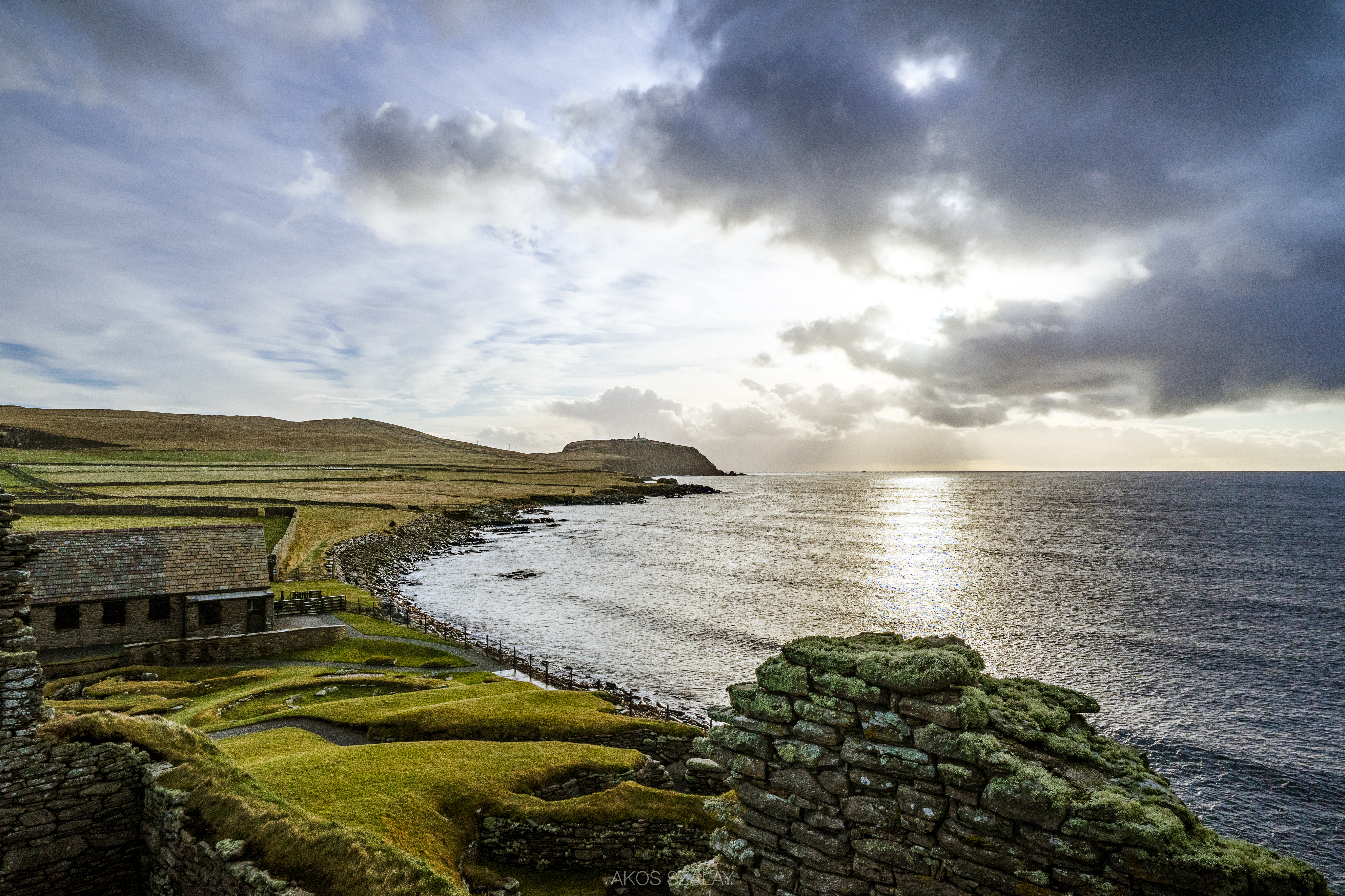
Elevation of Jarlshof Prehistoric and Norse Settlement, Sumburgh, Shetland ZE3 9JN, UK
Location: United Kingdom > Scotland > Shetland Islands > Virkie >
Longitude: -1.2903168
Latitude: 59.8690734
Elevation: 5m / 16feet
Barometric Pressure: 101KPa
Elevation Map:
Satellite Map:
Related Photos:
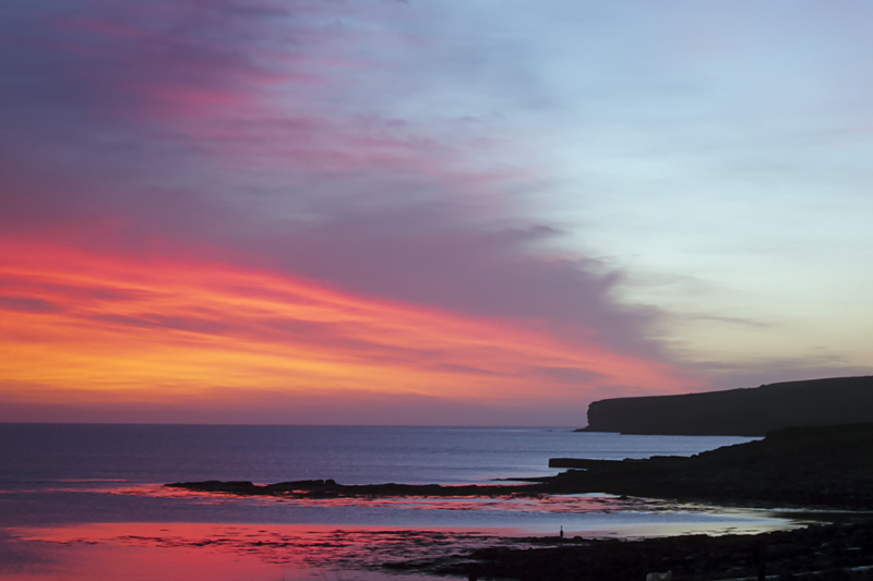
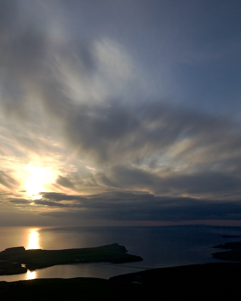
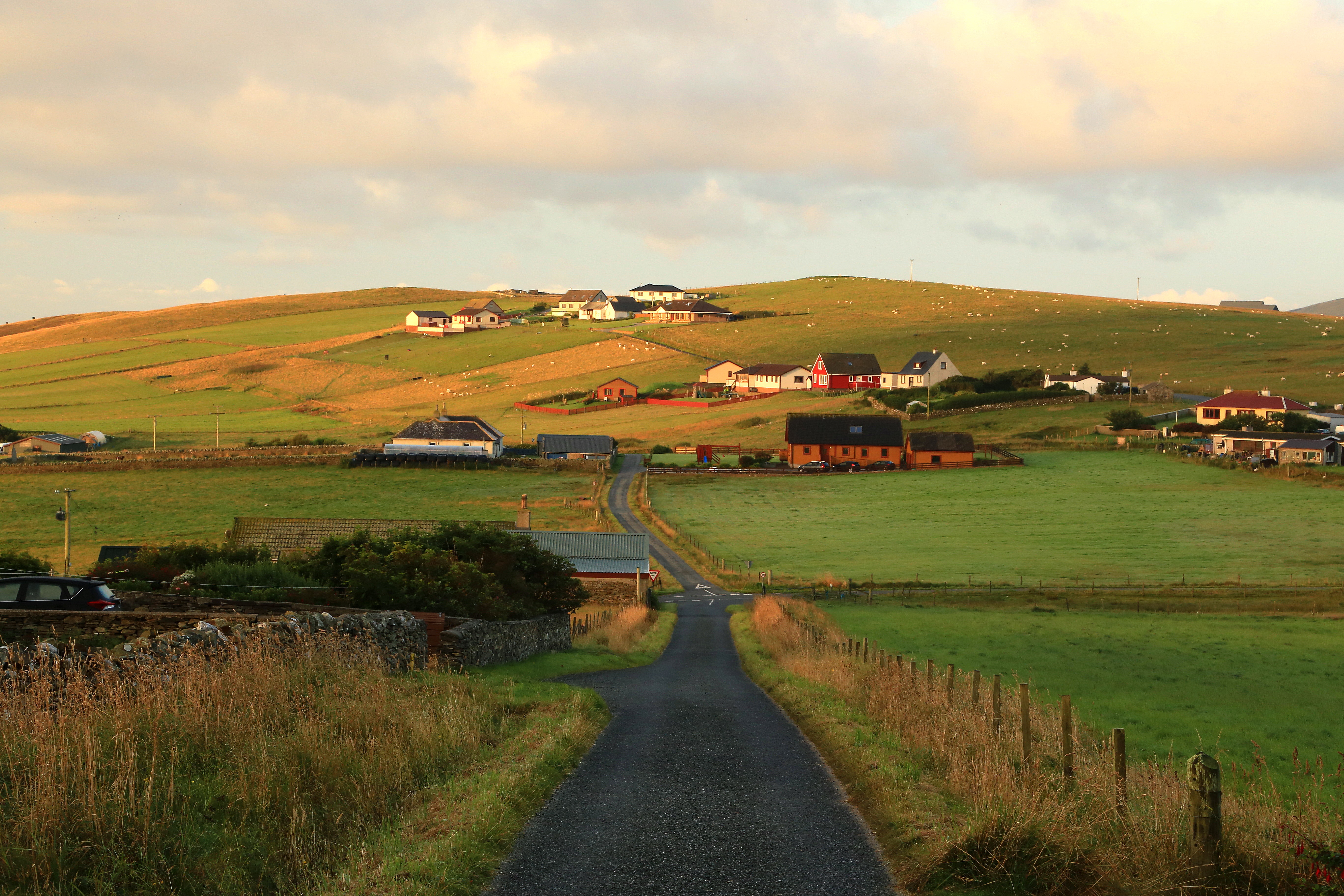
Boddam Sunrise
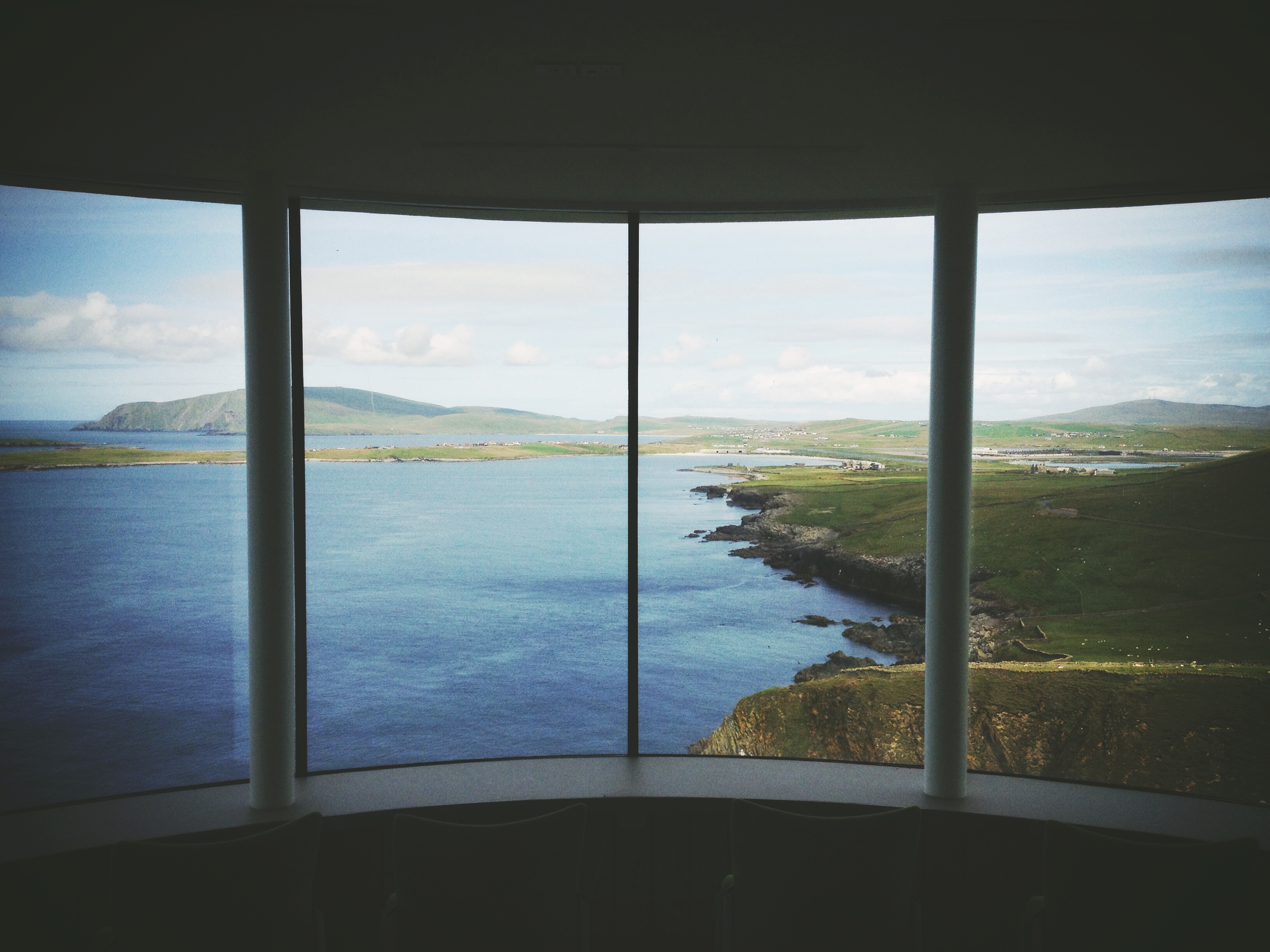
Sumburgh Lighthouse view

View from Scousburgh Hill

Scottish Sketches 4 of 26 - Levenwick, Shetland

carte postale d'Ecosse - PPL
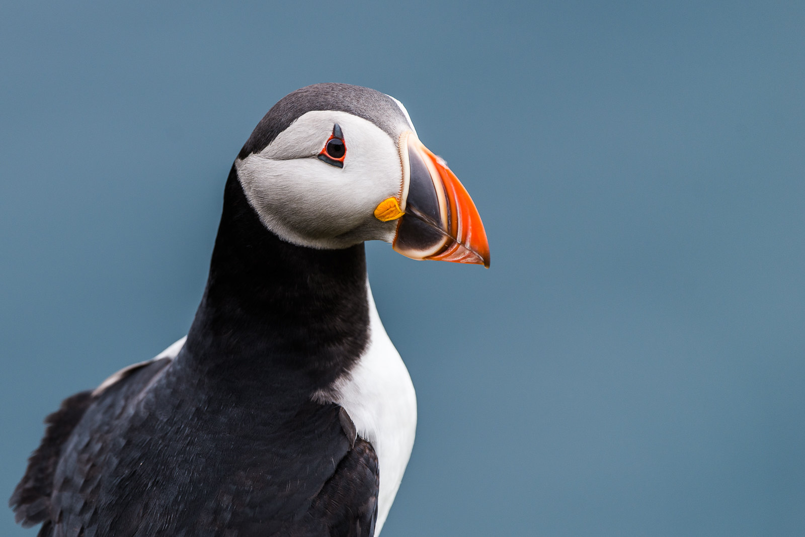
Puffin at Sumburgh
View from Scousburgh Hill

View from Scousburgh Hill
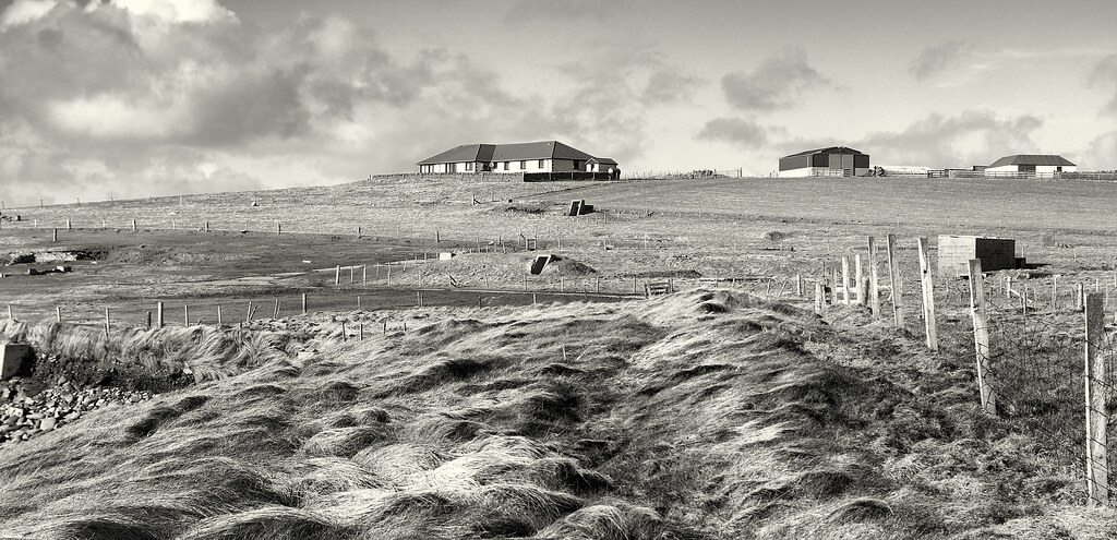
Banks Broo View IMG_4309
View from Scousburgh Hill

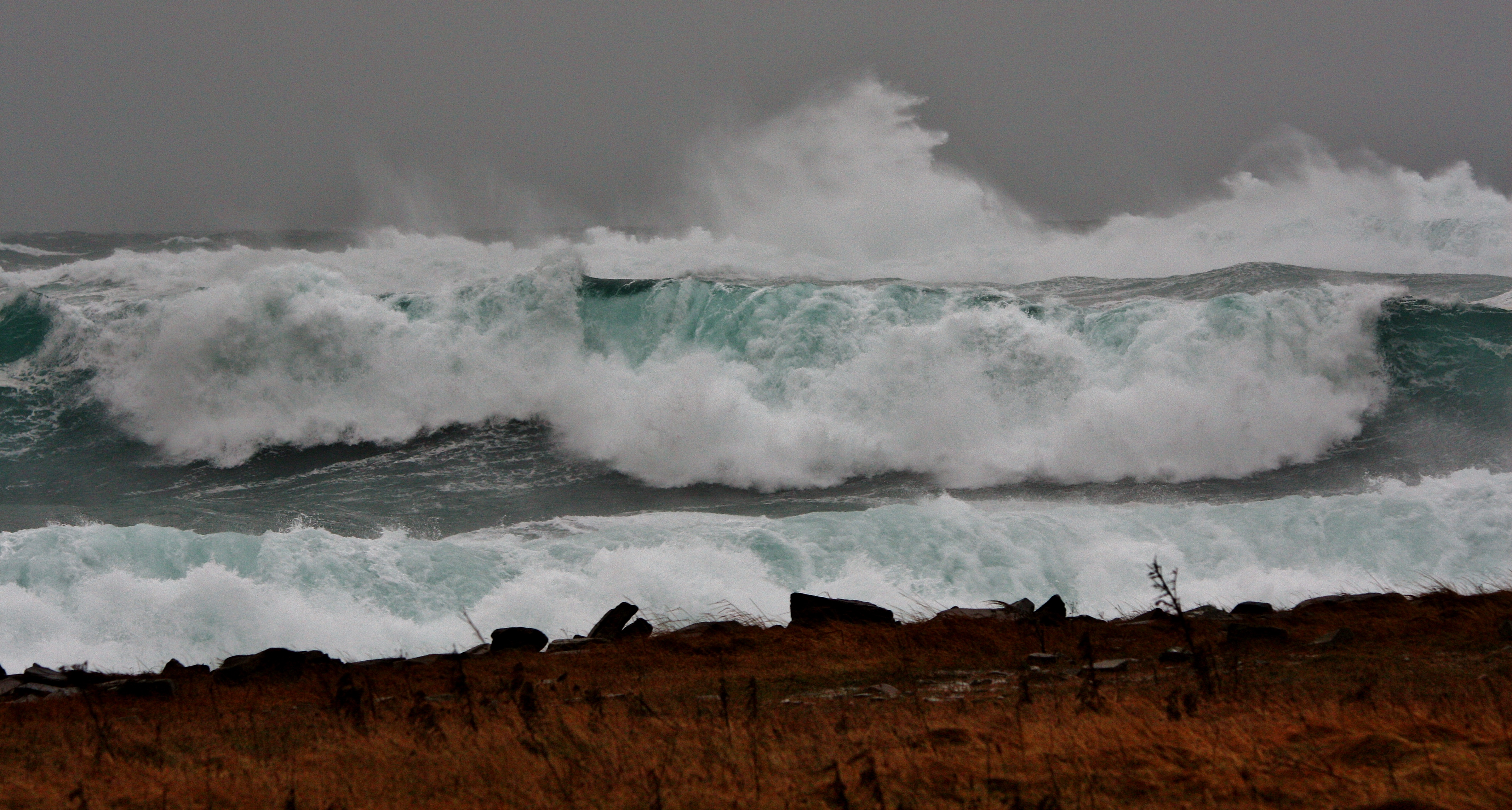
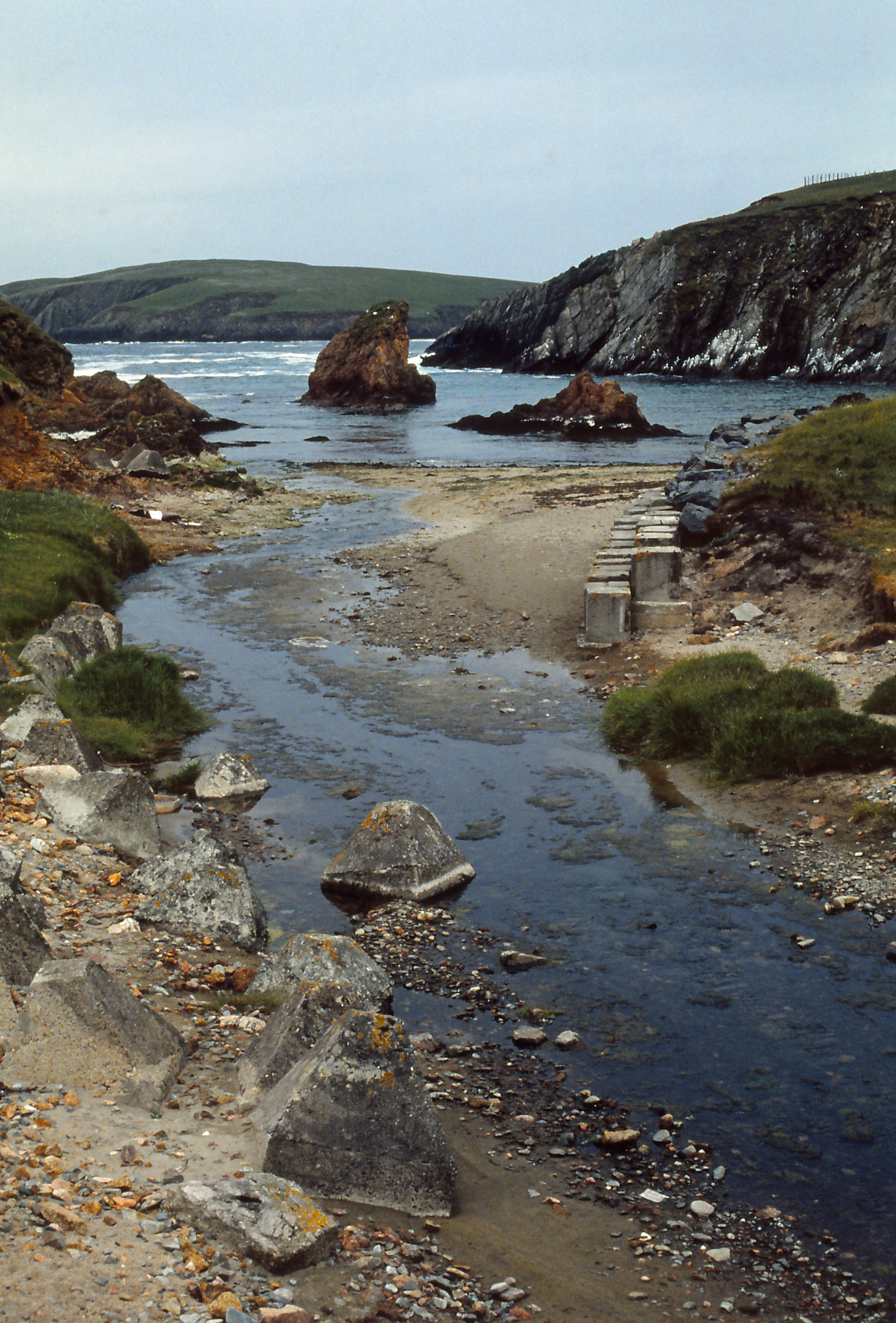
Ebb Tide at Tumblewick IMG_4117
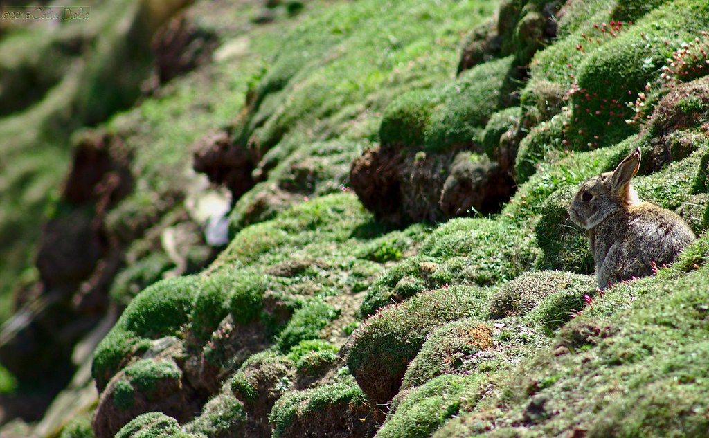
Rabbit #2, Sumburgh Head, Shetland

Banks Broo View IMG_4308
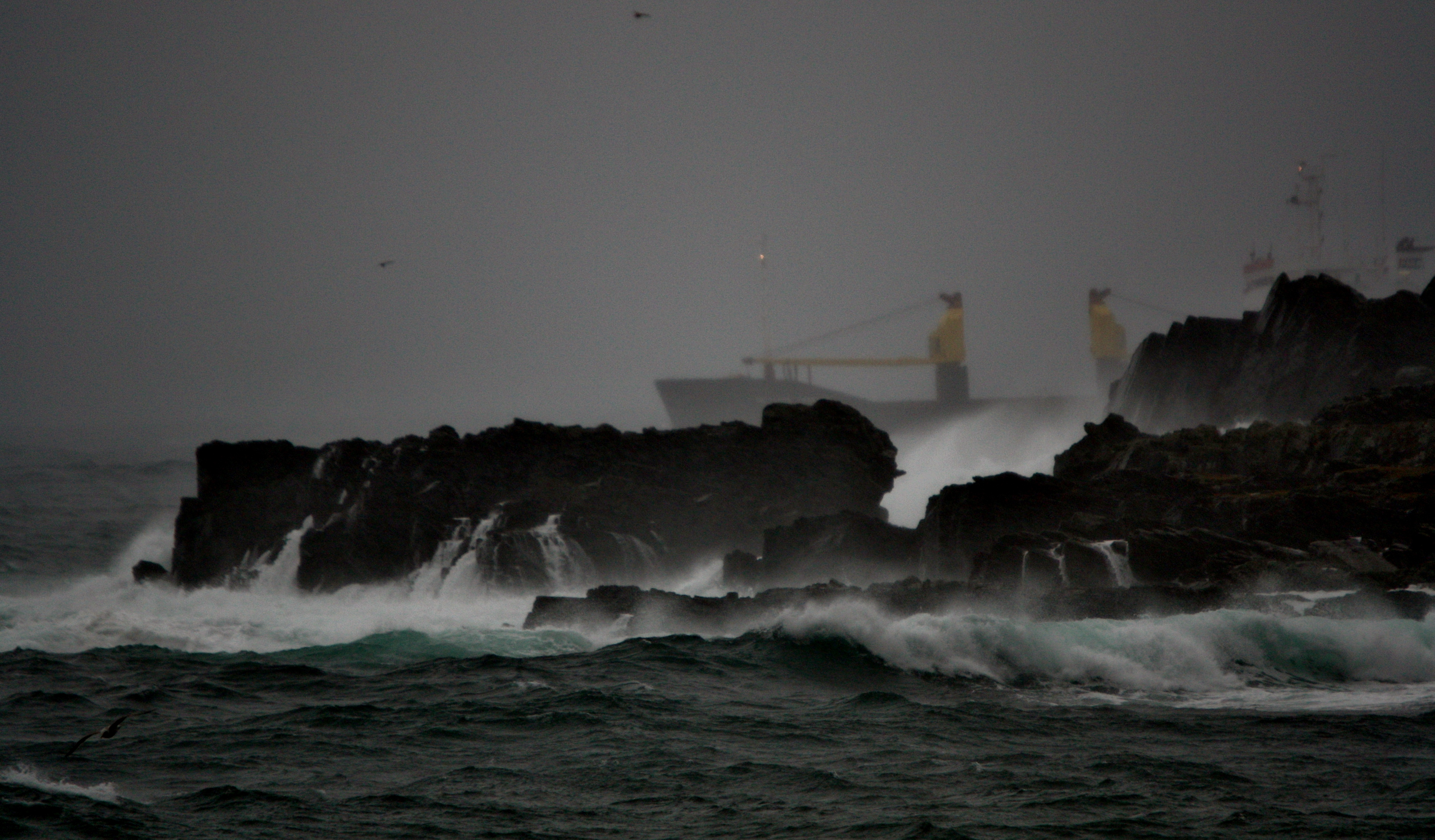
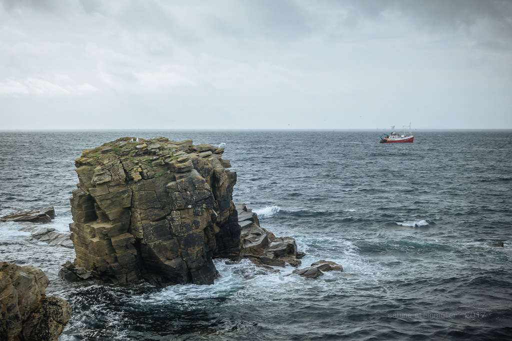
Mekhanik Tyulenev IMG_1258

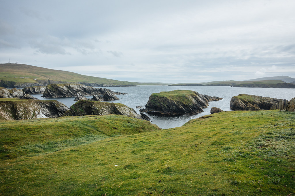
View from Mousa Broch
View from Sumburgh Head
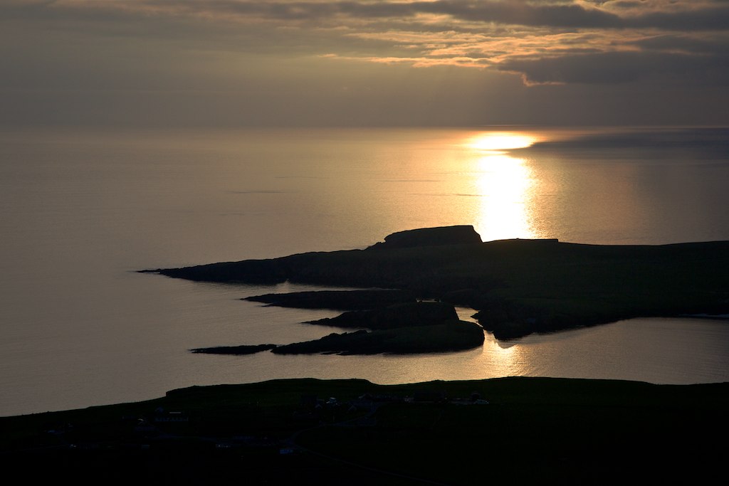
View from Scousburgh Hill
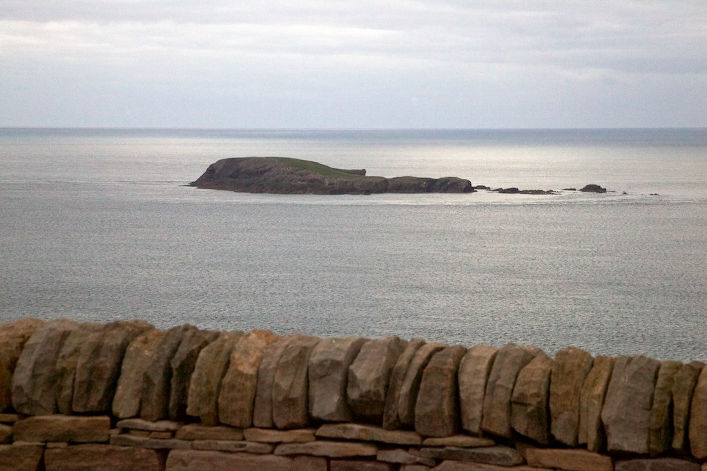
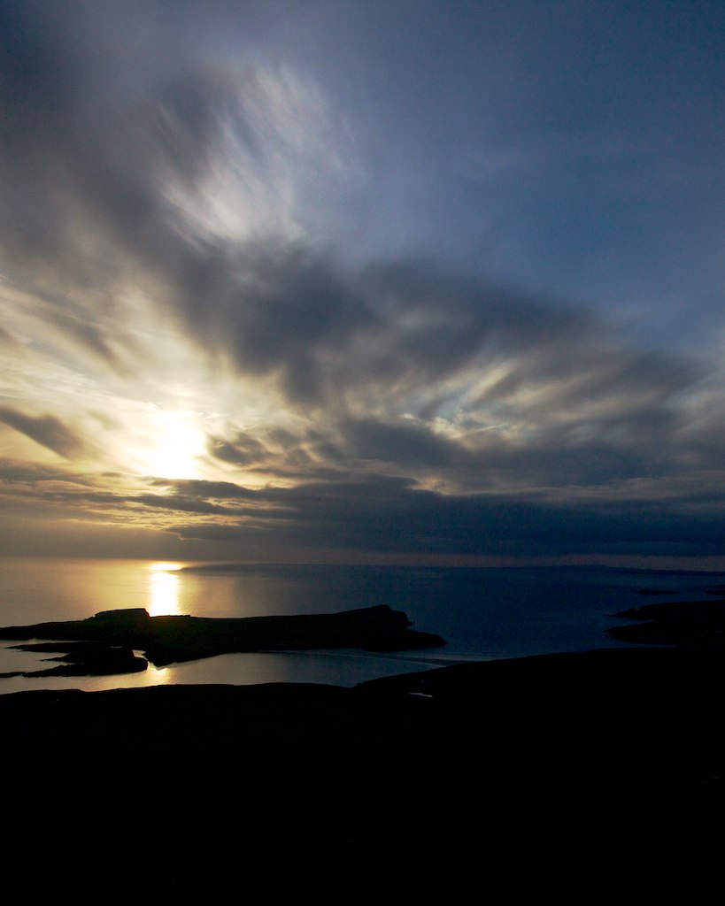
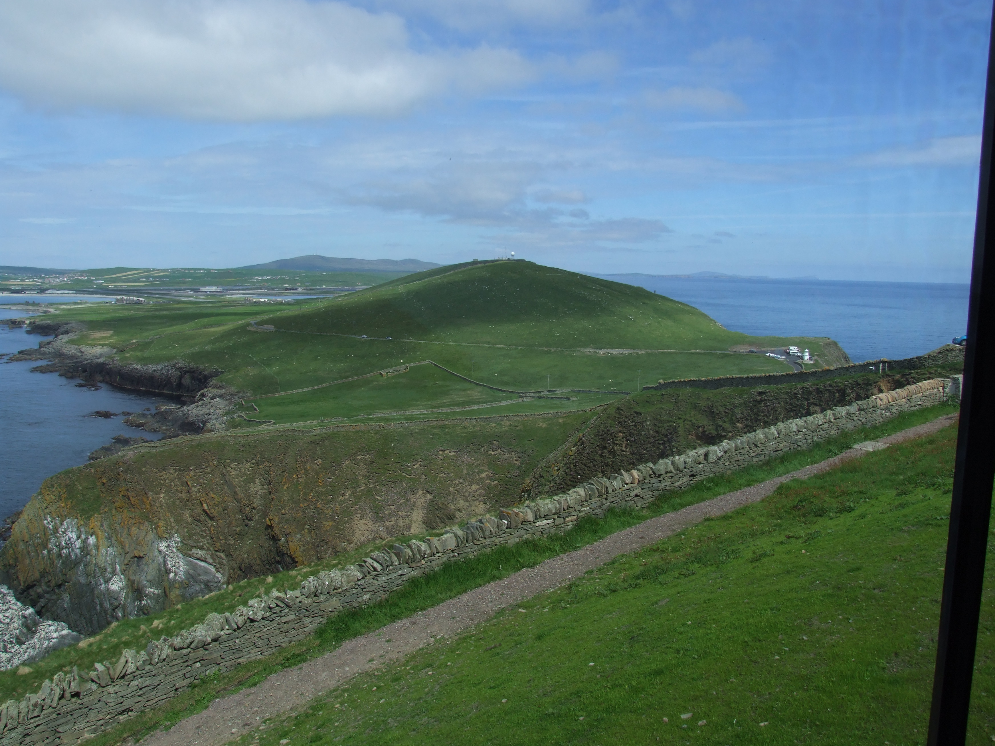
View from Sumburgh Head
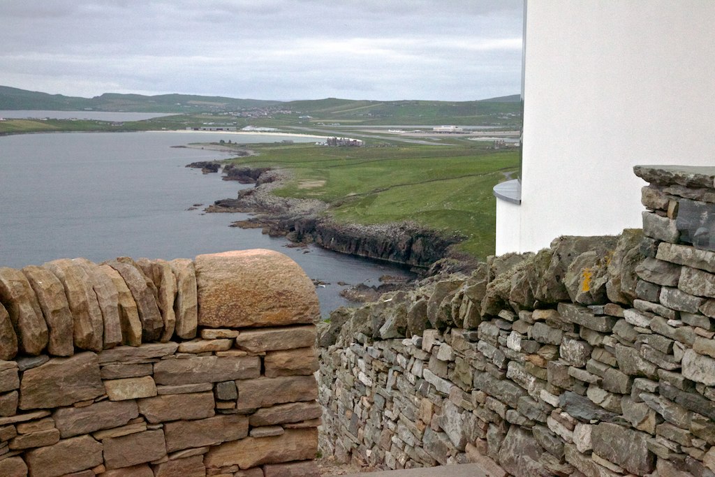
View from Jarlshof
View towards Scatsa

View North
Toab Shetland

Spiggie Loch
st ninians isle | shetland, scotland
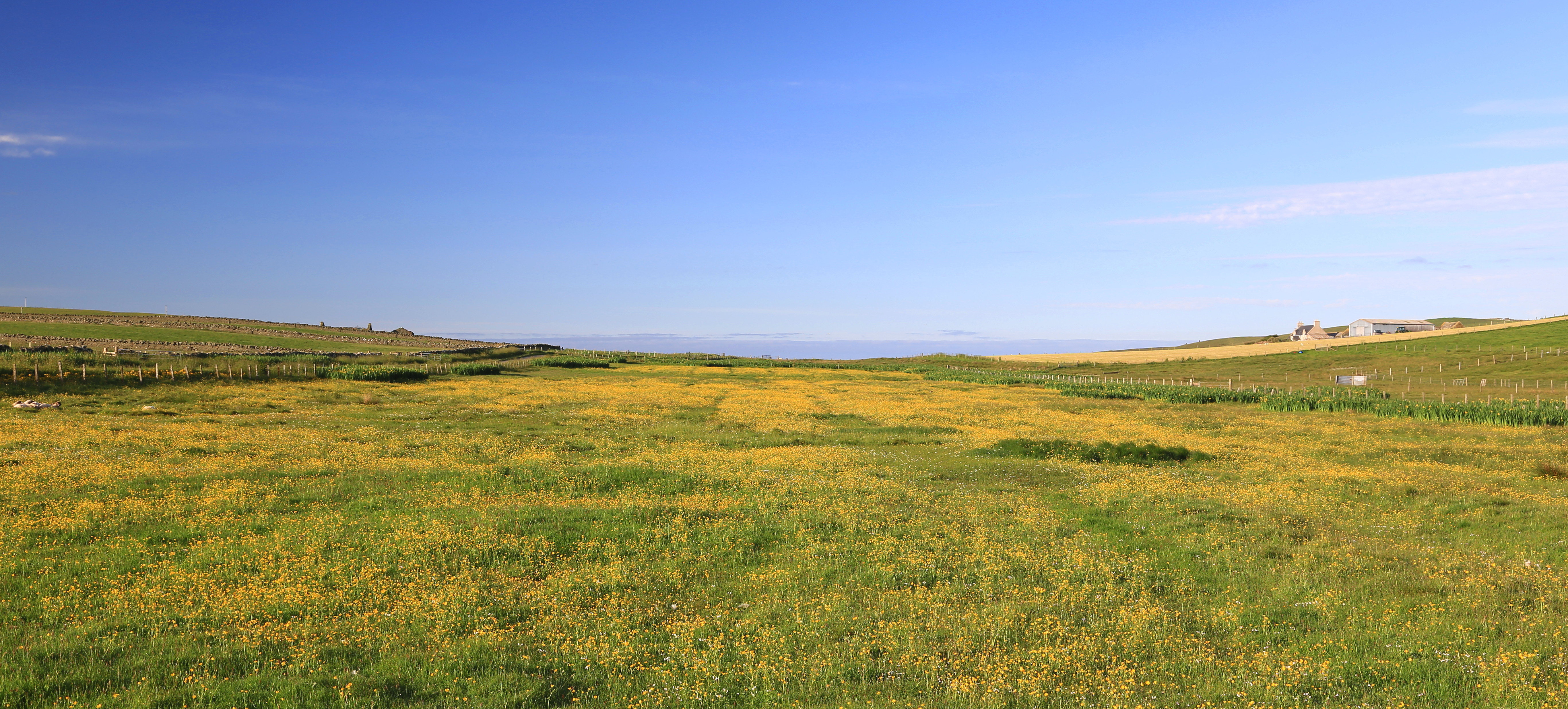
Buttercup Meadow
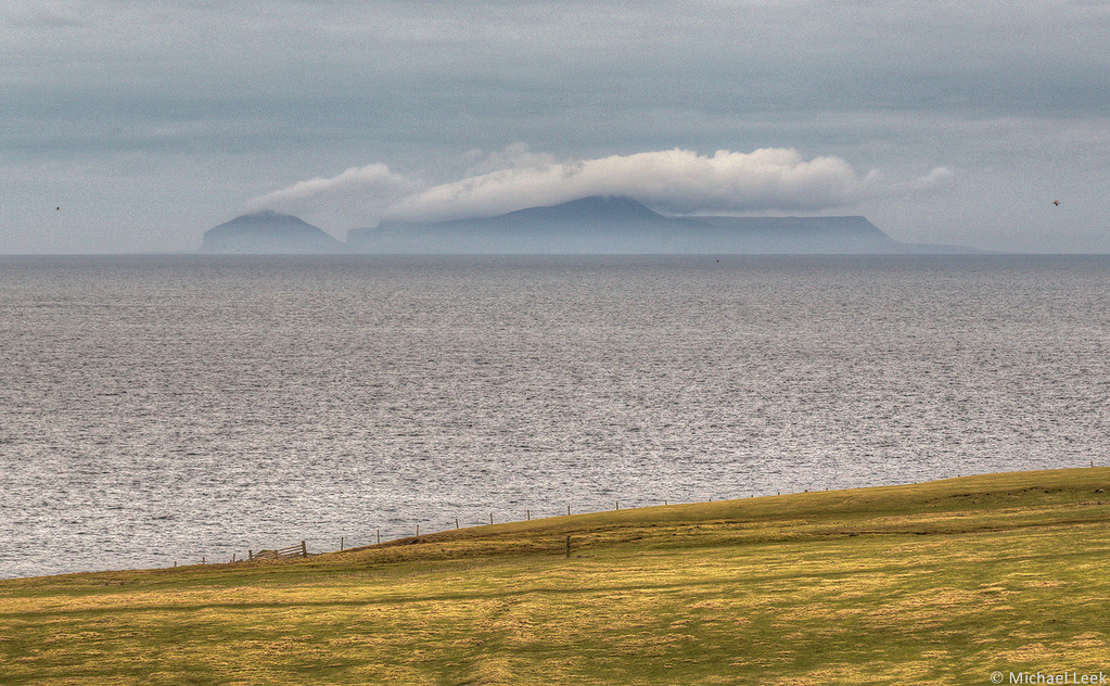
Foula; off the west coast of the Shetland Islands, North Atlantic,

60 common seals

Quendale mill
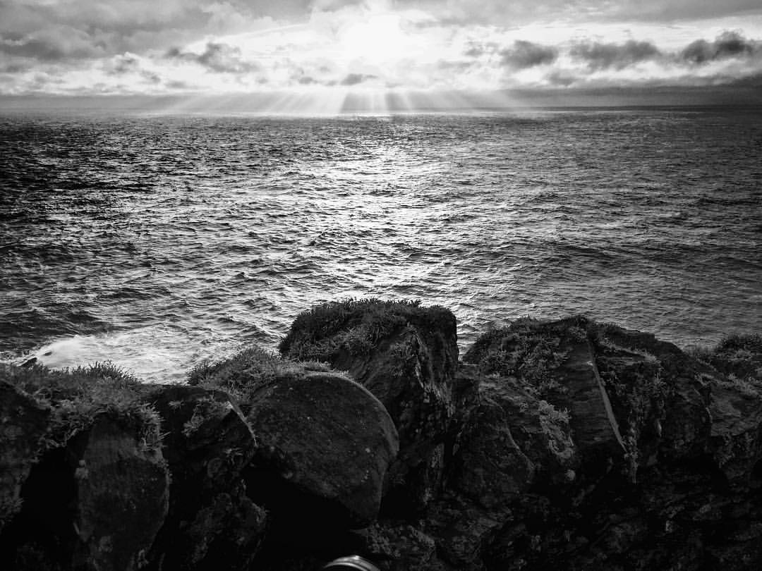
Sky is god's canvas
. | shetland, scotland
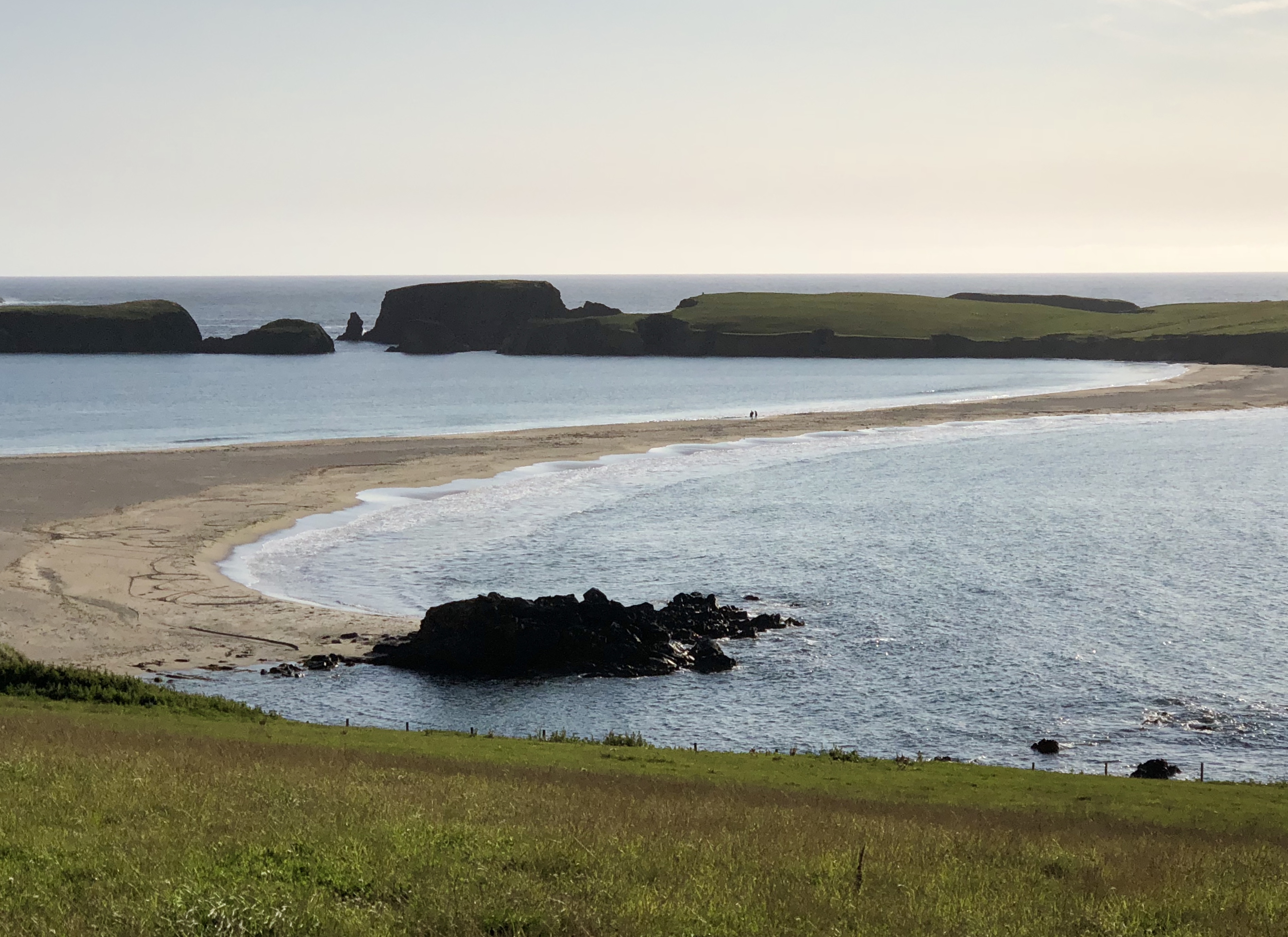
St Ninian’s Isle Beach
Sunset from the beach
Vatnabrekk June 2014

Broonies Taing

St Ninian's Beach
Burland Broch
Waves in the sunset
Park Road
Burn at Spiggie (23 mod)
Topographic Map of Jarlshof Prehistoric and Norse Settlement, Sumburgh, Shetland ZE3 9JN, UK
Find elevation by address:

Places near Jarlshof Prehistoric and Norse Settlement, Sumburgh, Shetland ZE3 9JN, UK:
Sumburgh Airport
Old Scatness
Virkie
6 Toabsgeo, Virkie, Shetland ZE3 9JJ, UK
St Ninians Isle
Ze2 9nz
Sandwick
Mousa
Ze2 9ey
Scalloway
Craigpark Road
Ze1 0ey
Clickimin Loch
Hoofields
Lerwick
Knab Road
2 Queens Pl
Ze2
Shetland
Ze2 9qj
Recent Searches:
- Elevation of Falling Spring Rd, Clyde, NC, USA
- Elevation of Kingsfield St, Castle Rock, CO, USA
- Elevation of AMELIA CT HSE, VA, USA
- Elevation of Abbey Dr, Virginia Beach, VA, USA
- Elevation of Brooks Lp, Spearfish, SD, USA
- Elevation of Panther Dr, Maggie Valley, NC, USA
- Elevation of Jais St - Wadi Shehah - Ras al Khaimah - United Arab Emirates
- Elevation of Shawnee Avenue, Shawnee Ave, Easton, PA, USA
- Elevation of Scenic Shore Dr, Kingwood Area, TX, USA
- Elevation of W Prive Cir, Delray Beach, FL, USA