Elevation of Grunnablett, Brae, Shetland ZE2 9QJ, UK
Location: United Kingdom > Scotland > Shetland Islands > Brae >
Longitude: -1.349152
Latitude: 60.3887892
Elevation: 19m / 62feet
Barometric Pressure: 101KPa
Elevation Map:
Satellite Map:
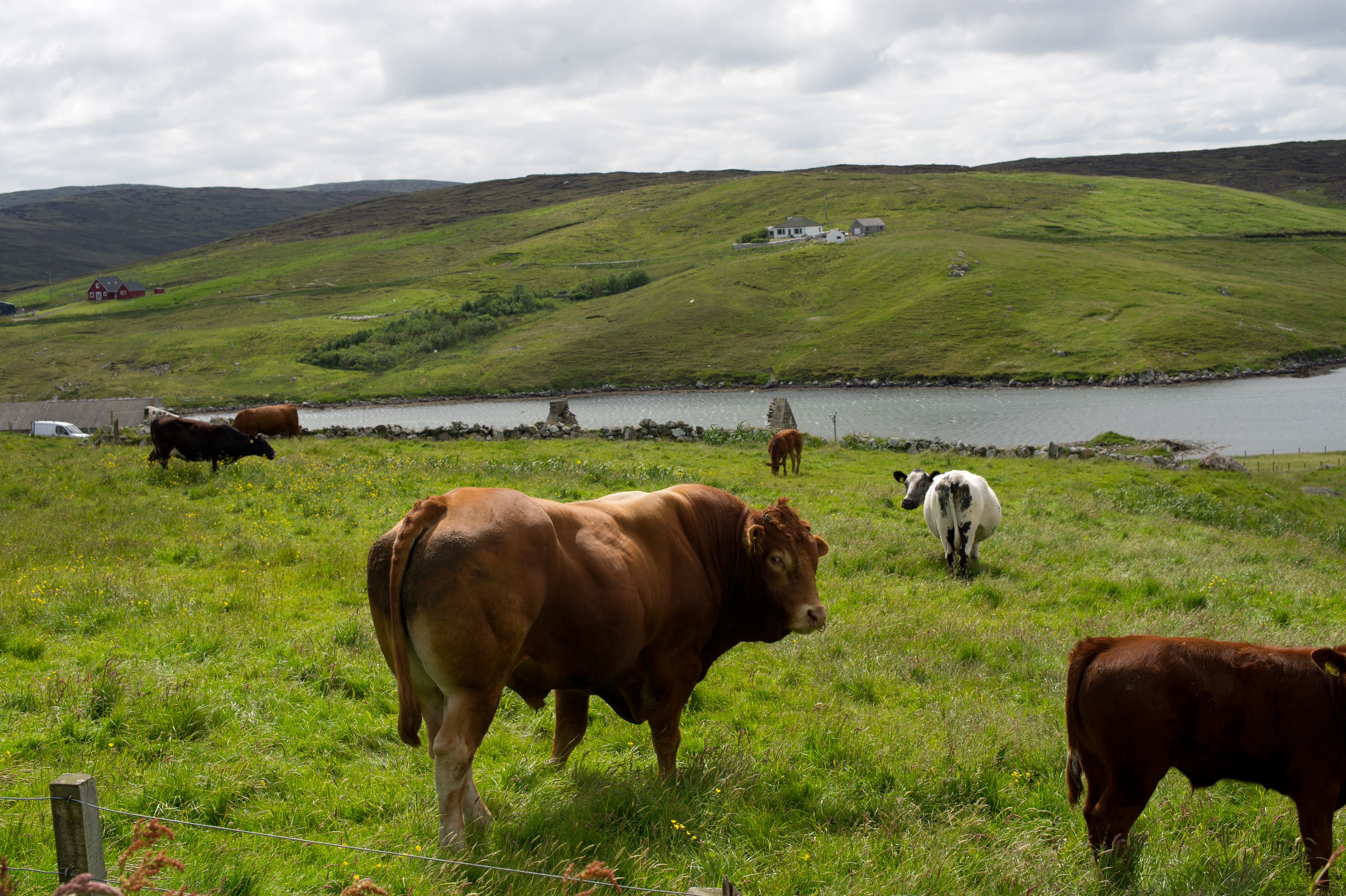
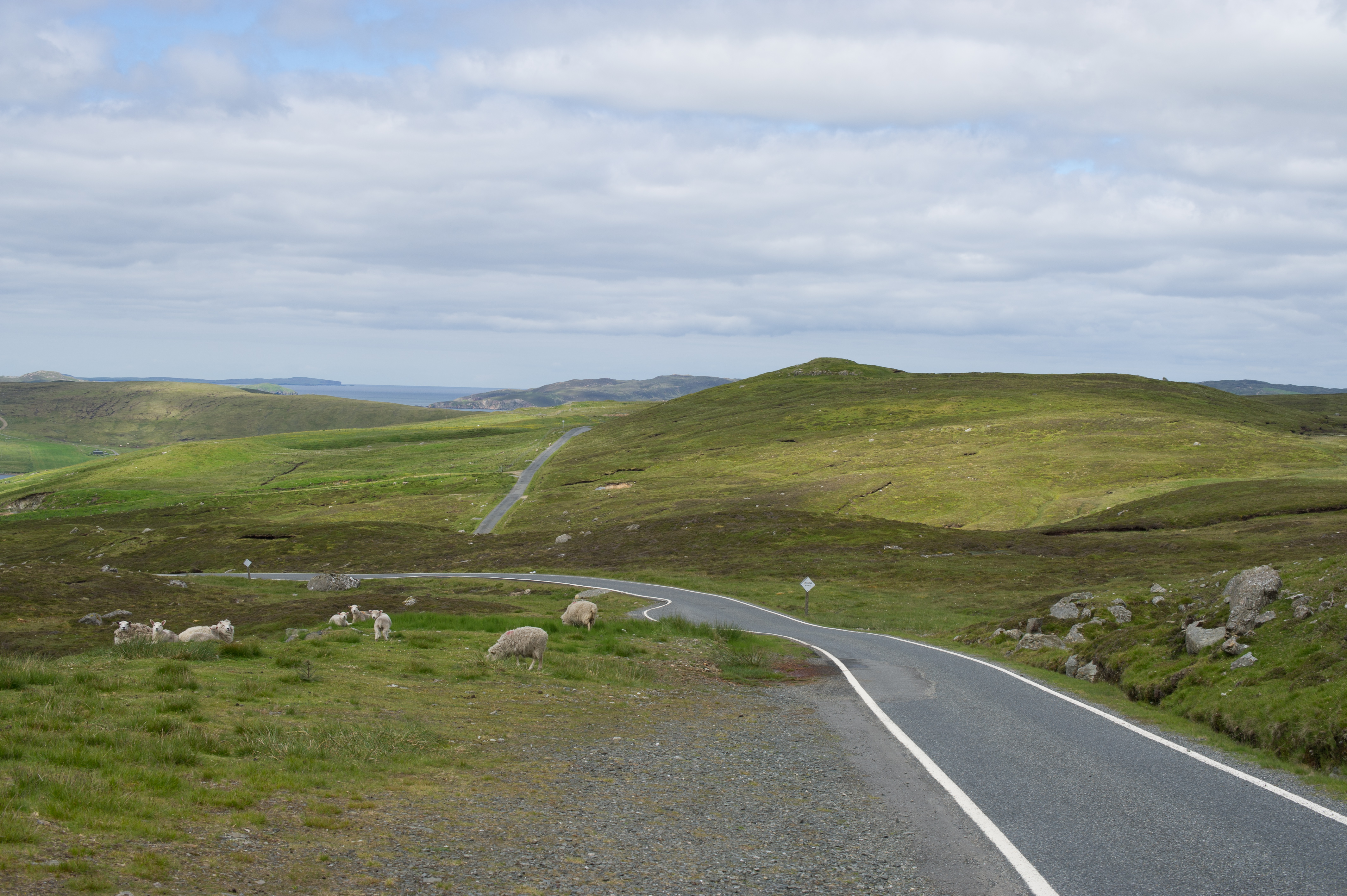
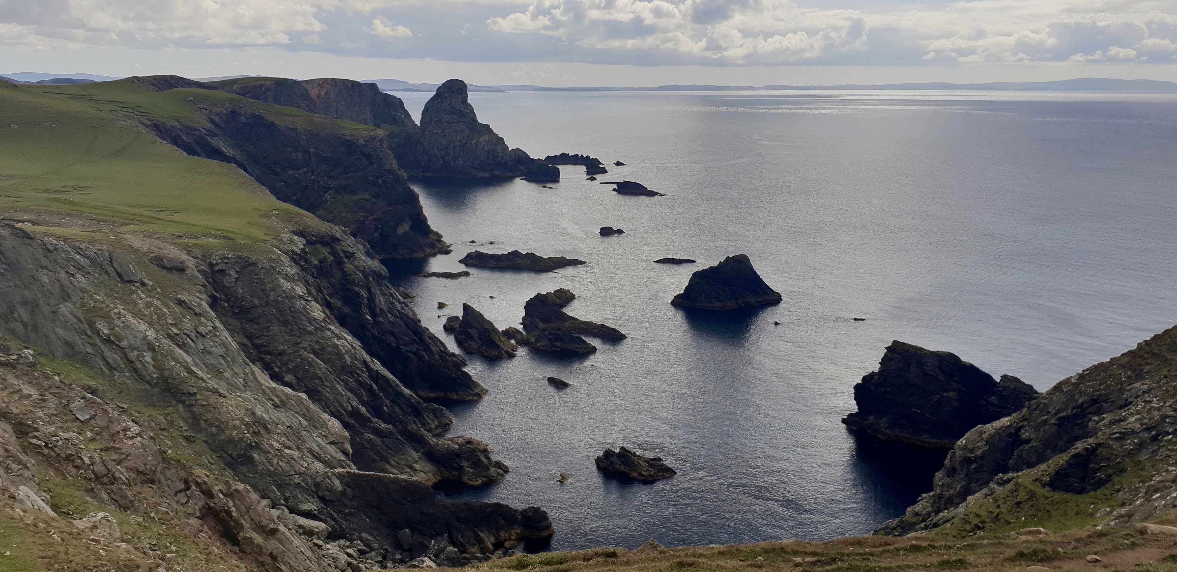
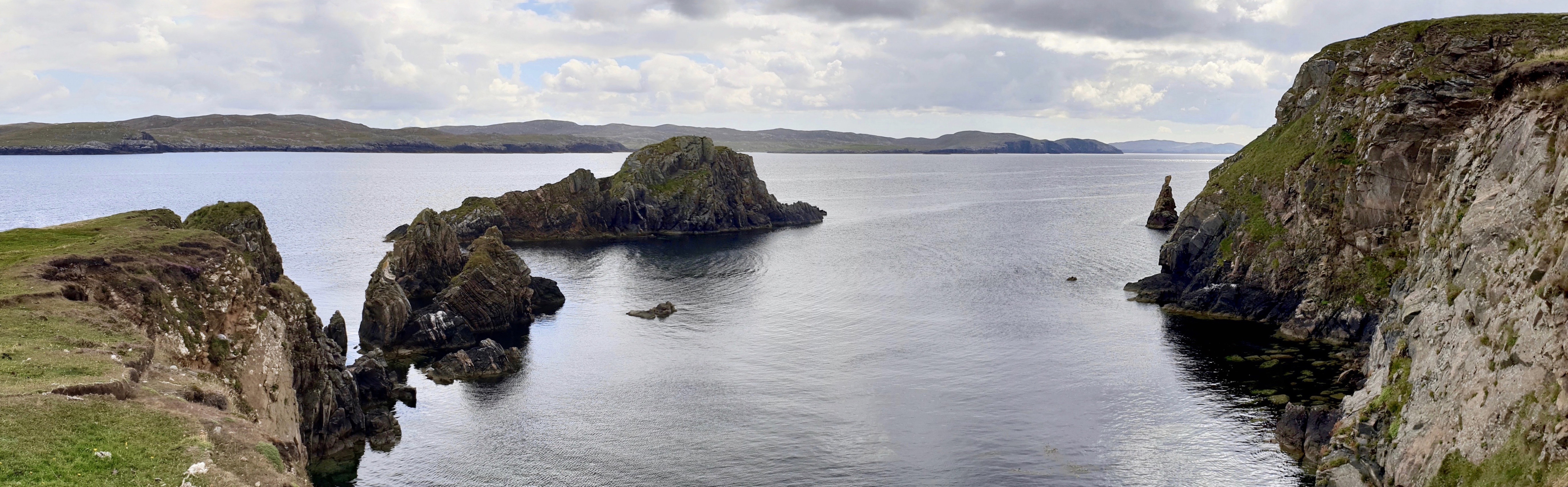
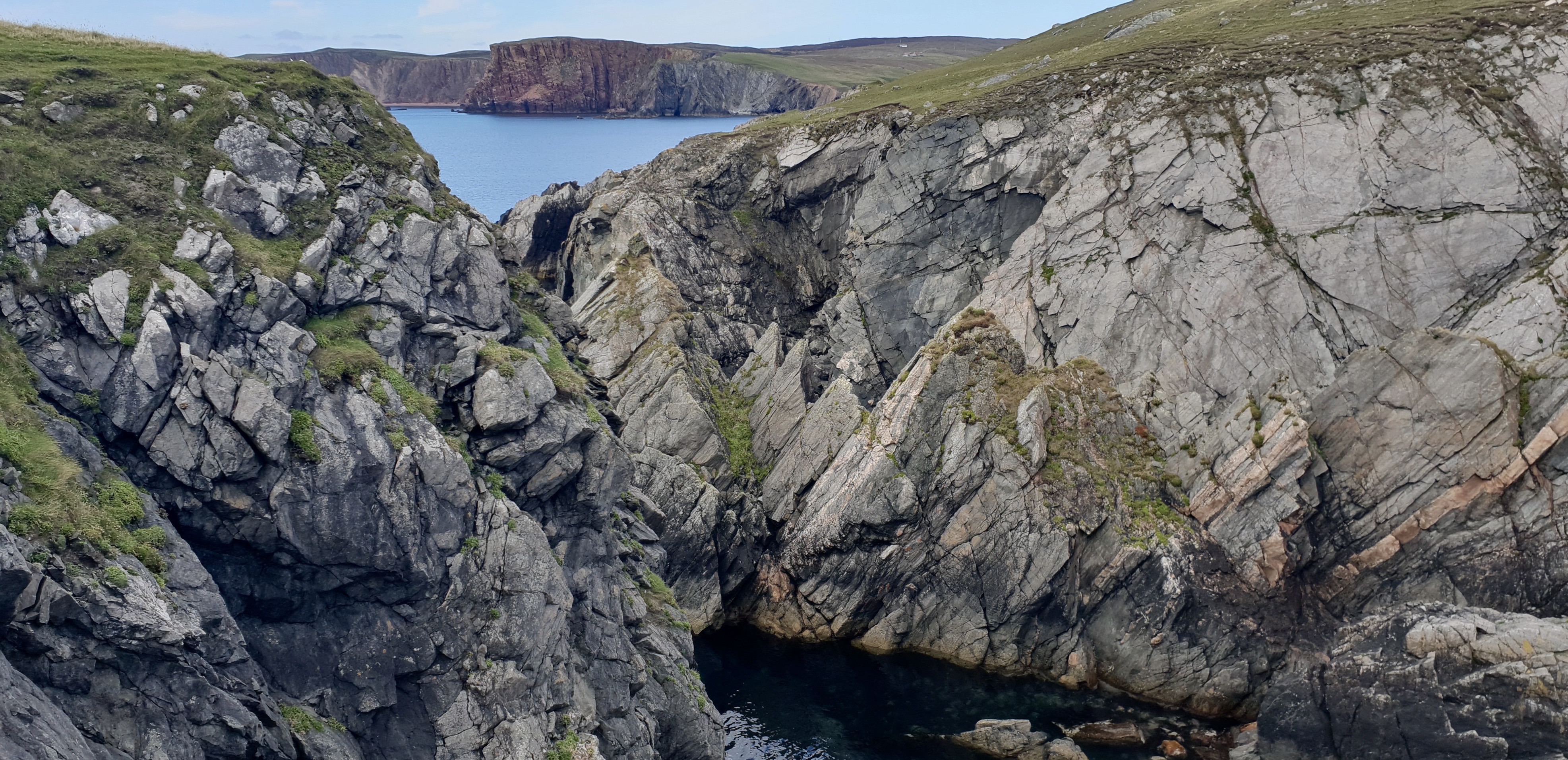
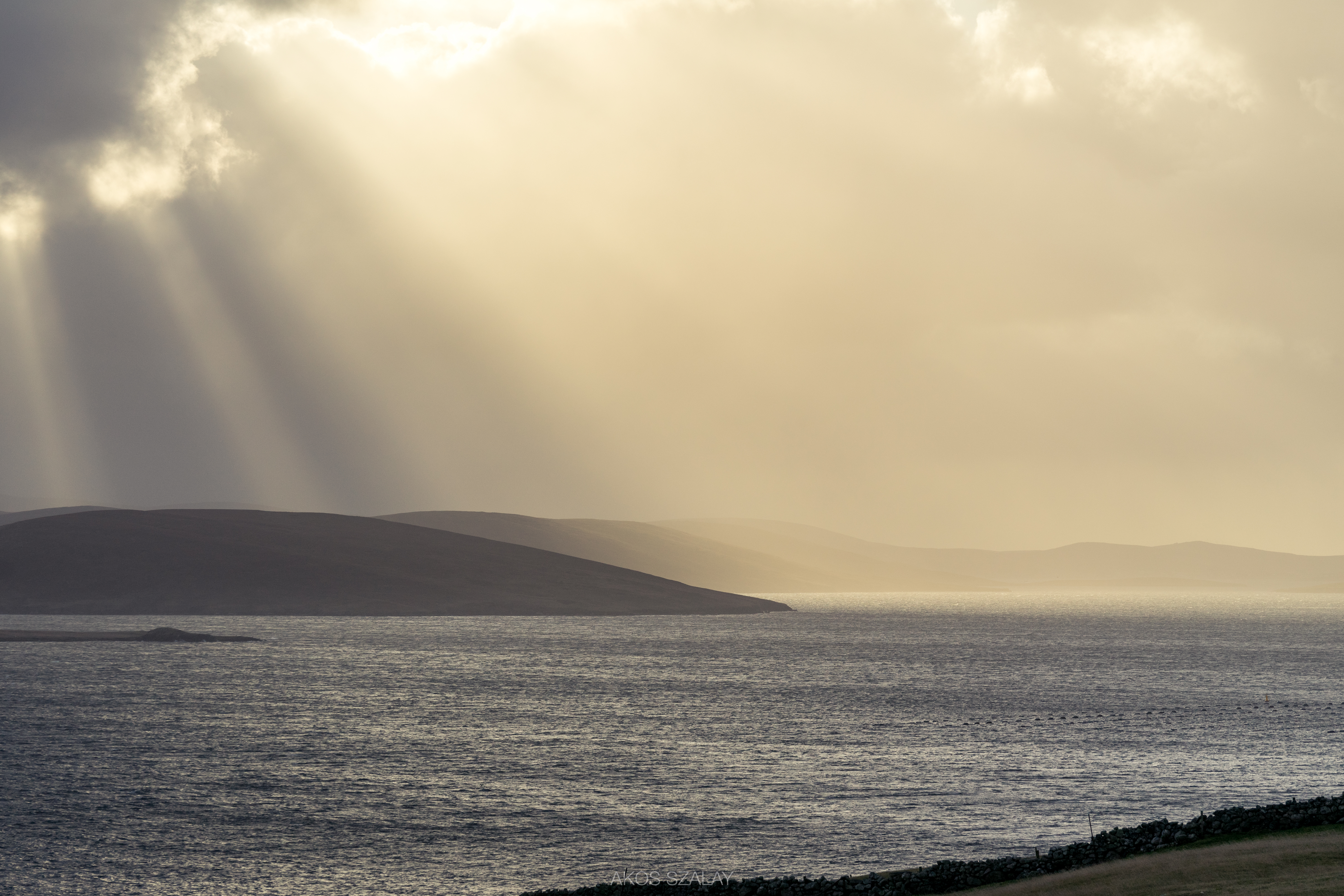
Related Photos:
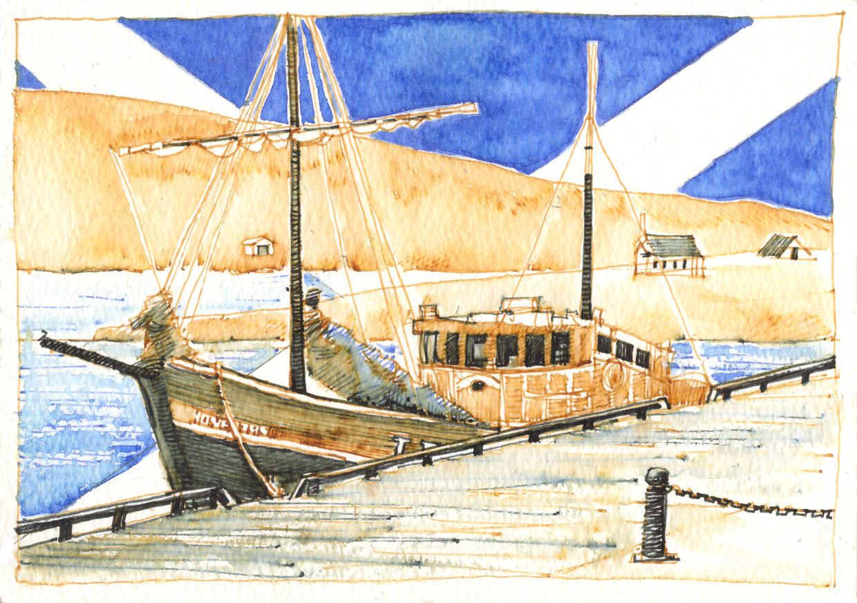
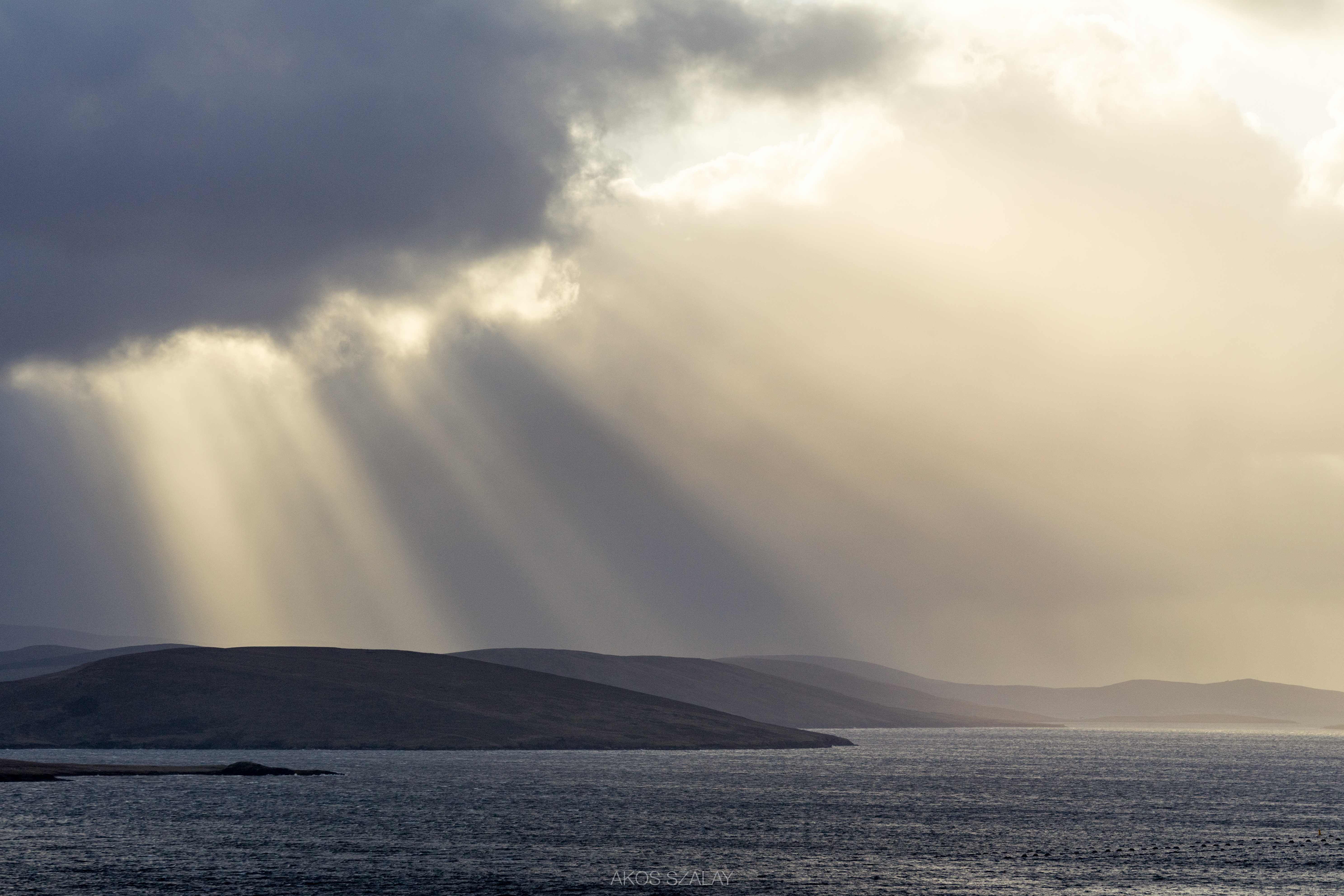
Scottish Sketches 8 of 26 - Voe, Shetland

Eiders, Sullom Voe
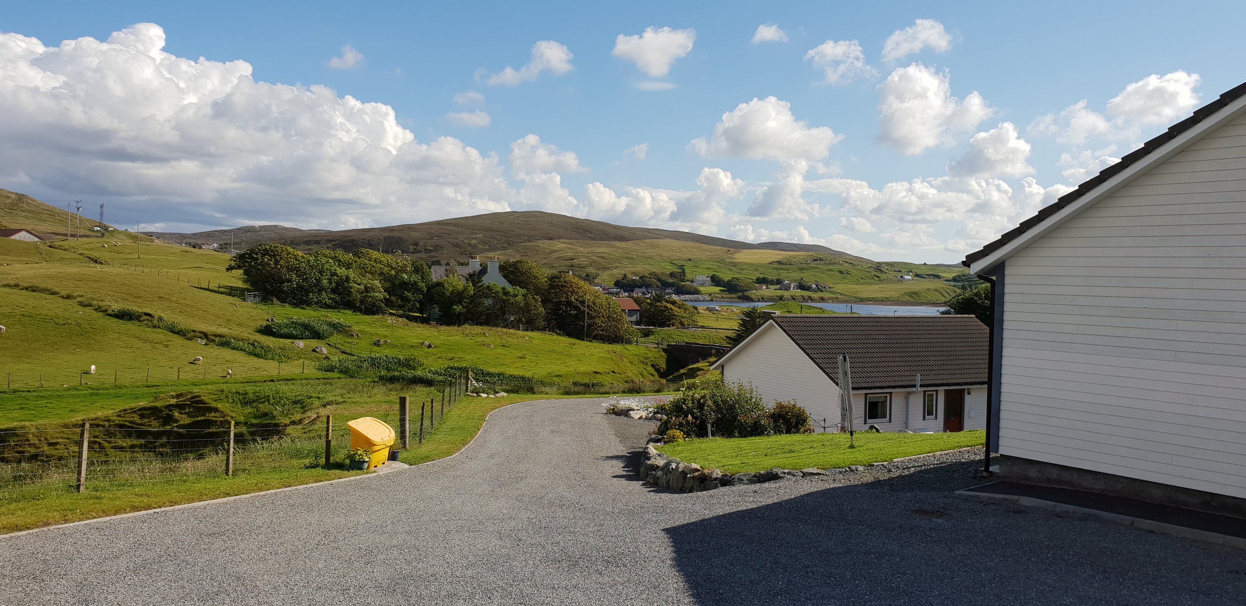
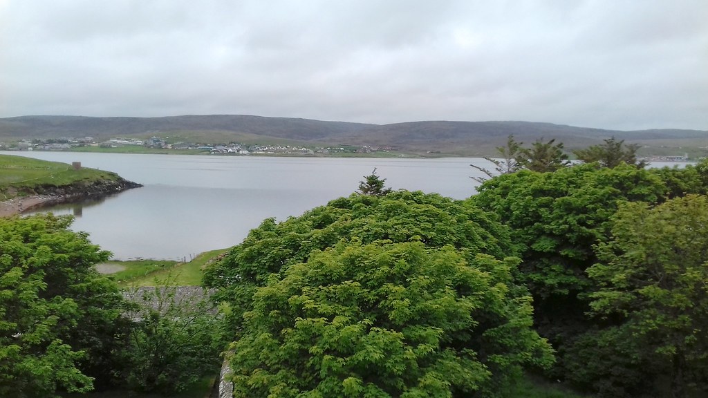
view from North Ham

Eiders, Sullom Voe
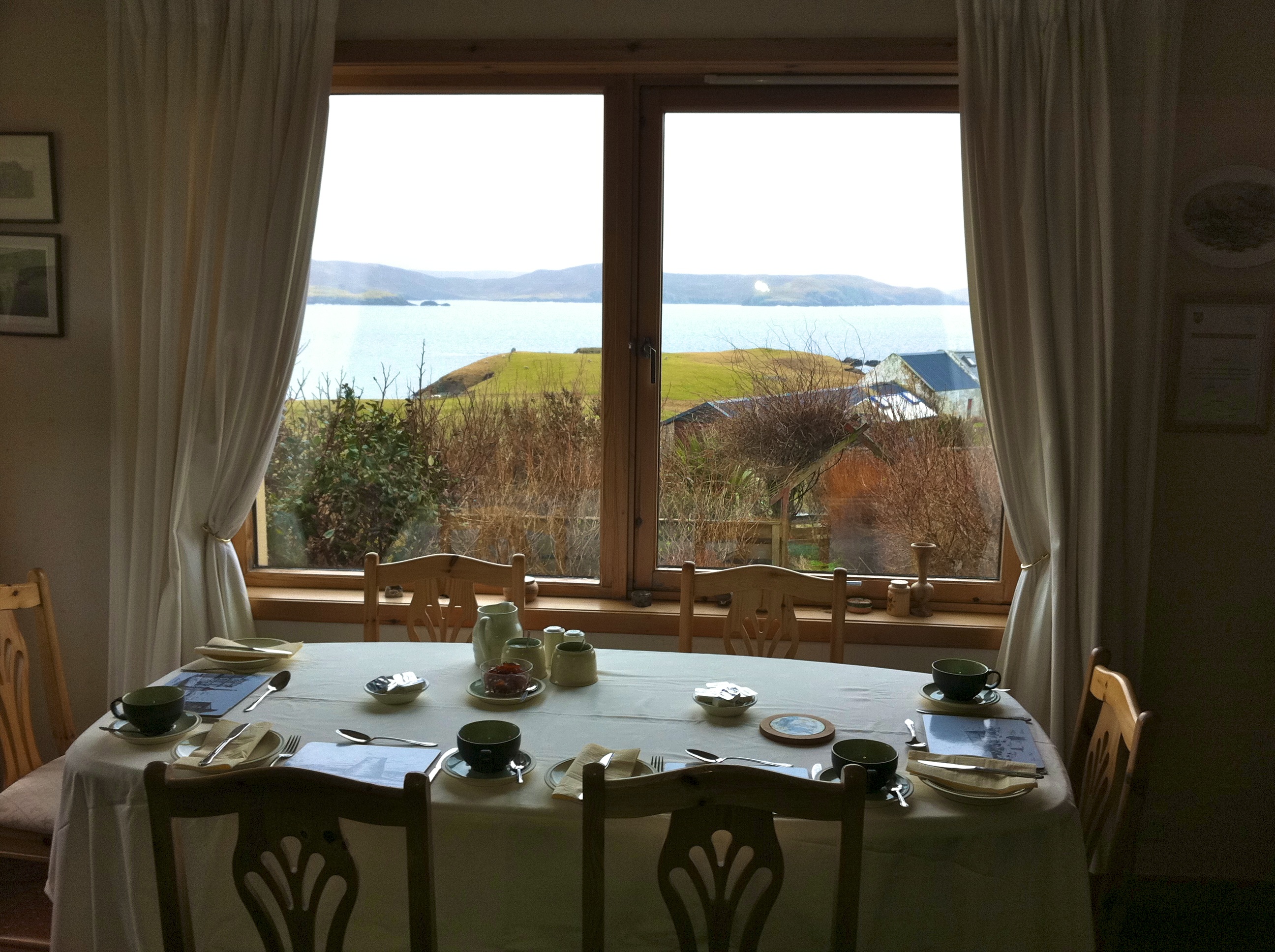
Breakfast Table at Elsie's Splendid B&B
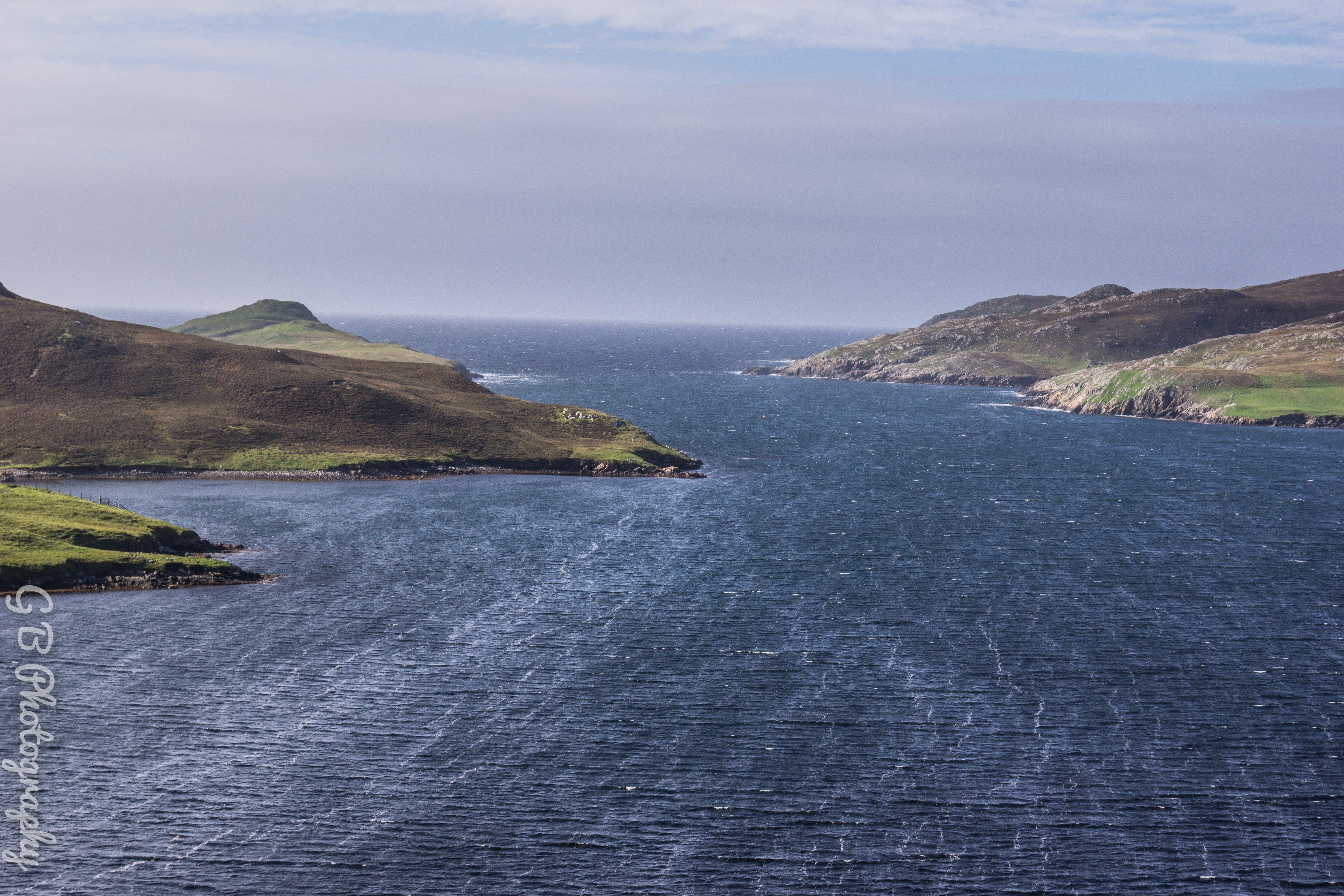
View from Mavis Grind towards Atlantic Ocean
View from Hytte
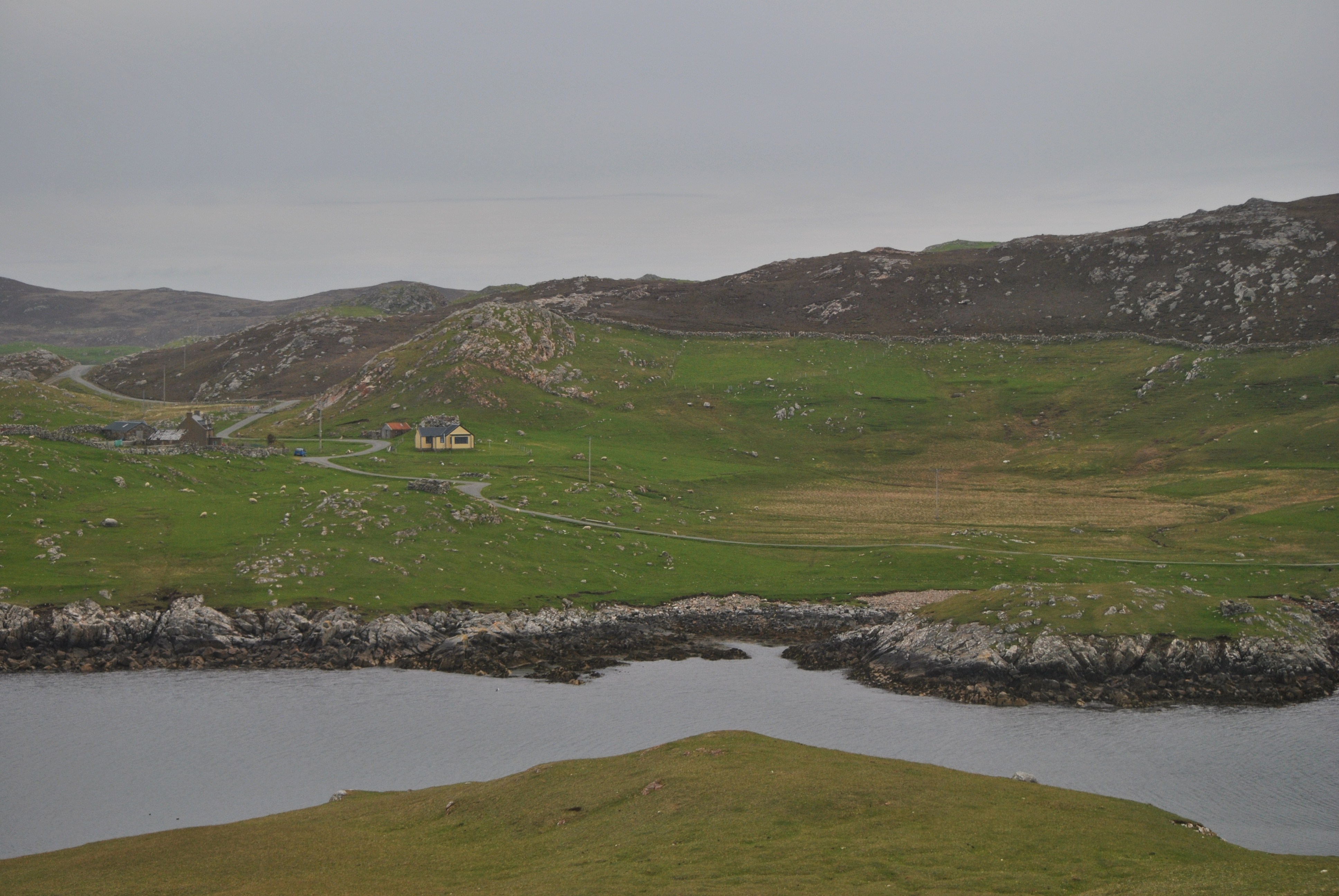
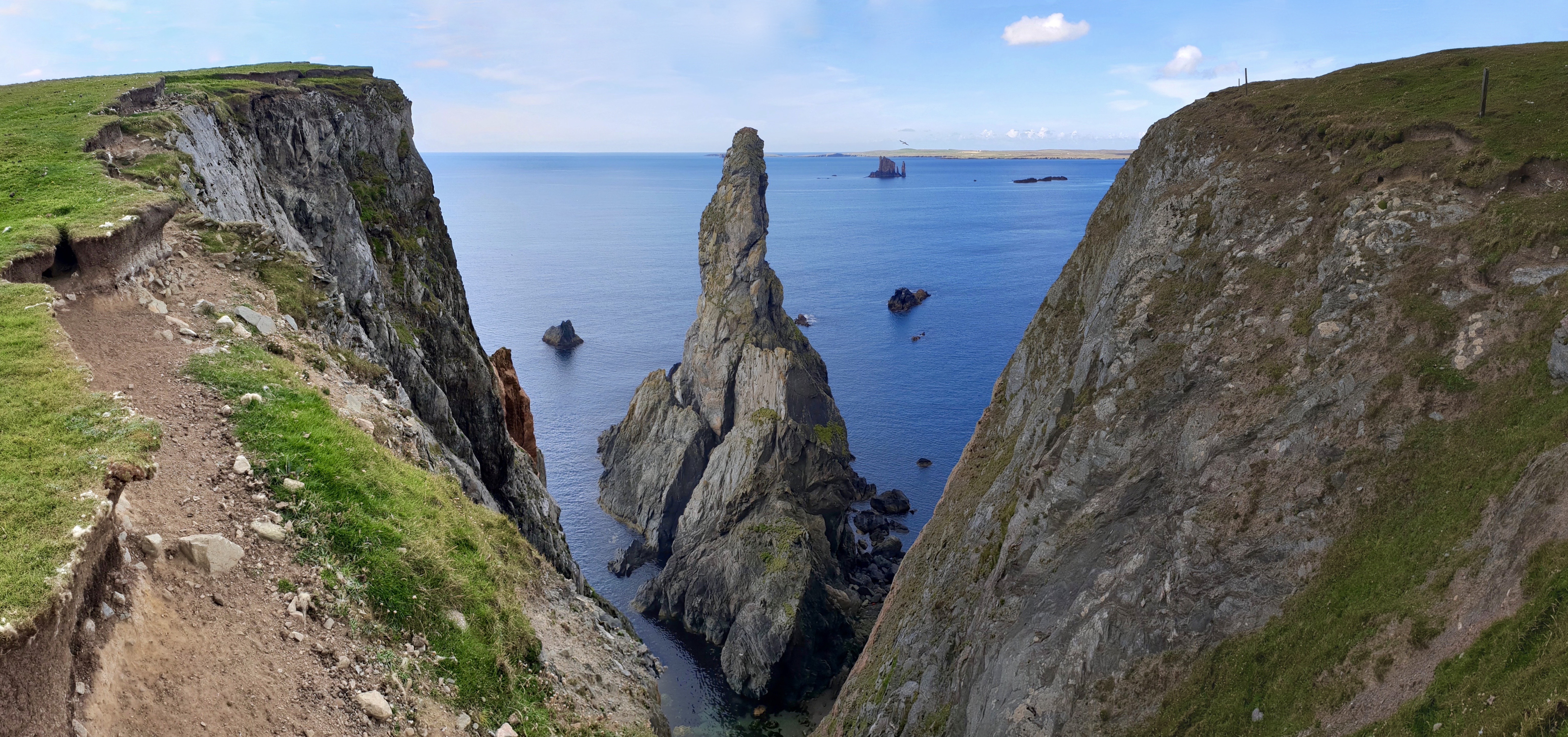
Isle of Nibon

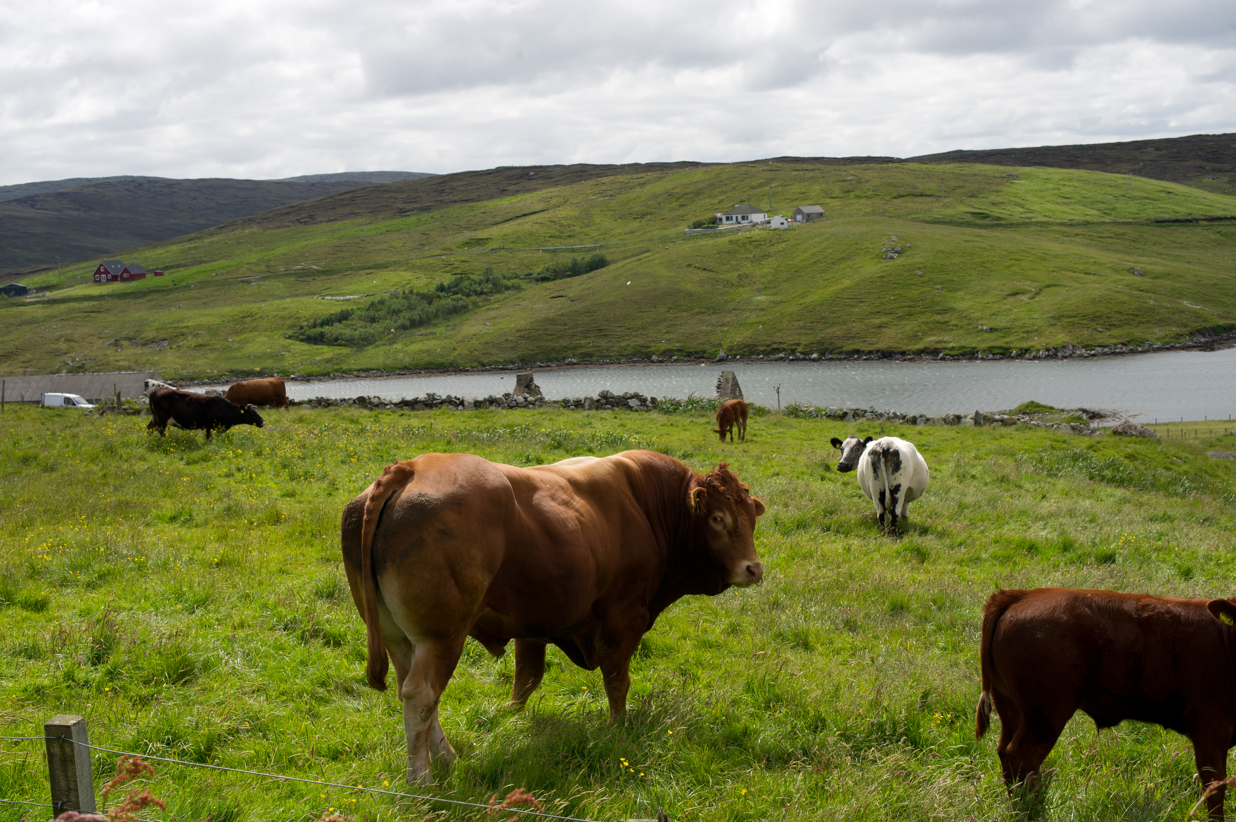
View over Kirkabister, Shetland
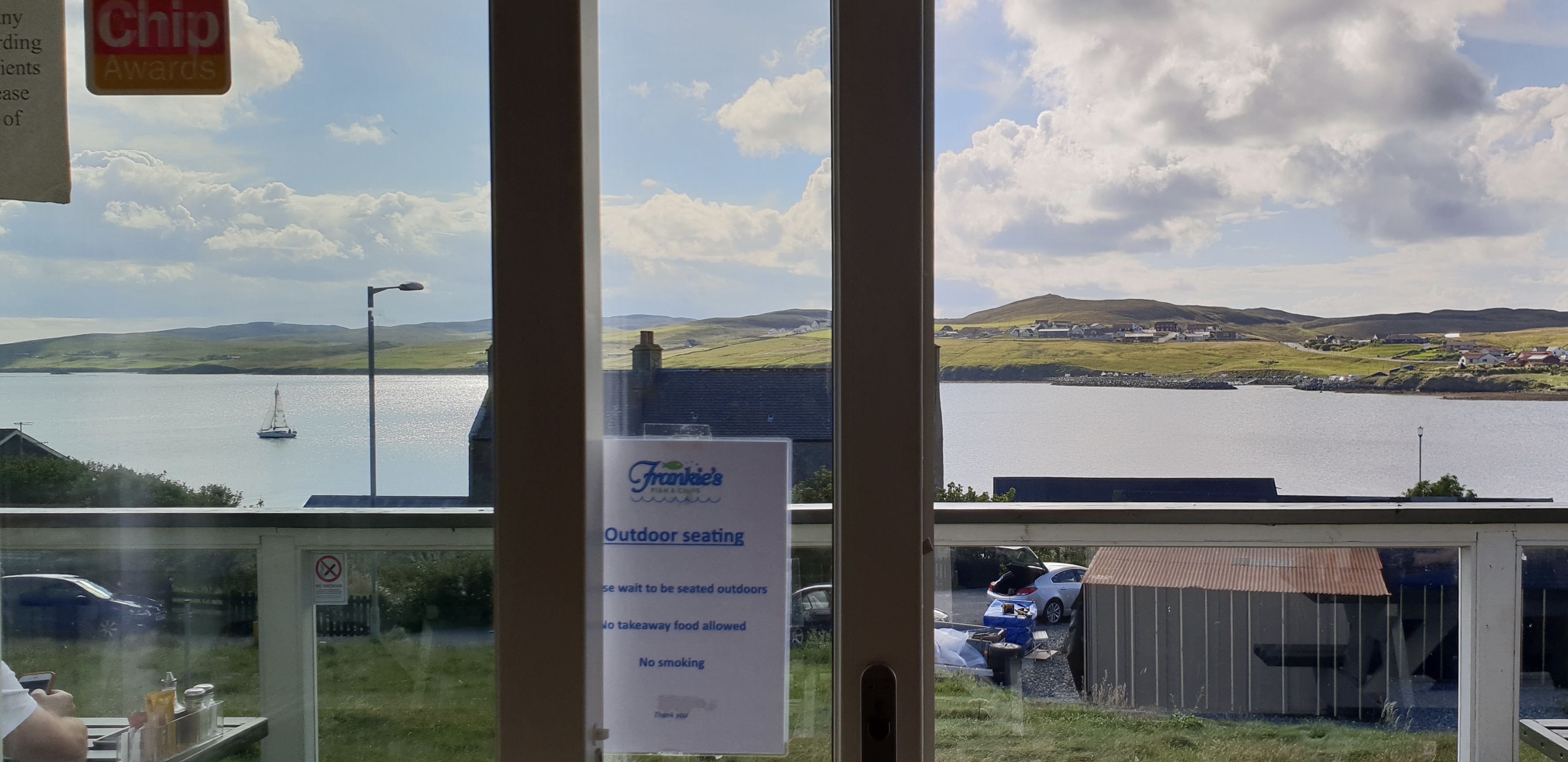
Frankie's View

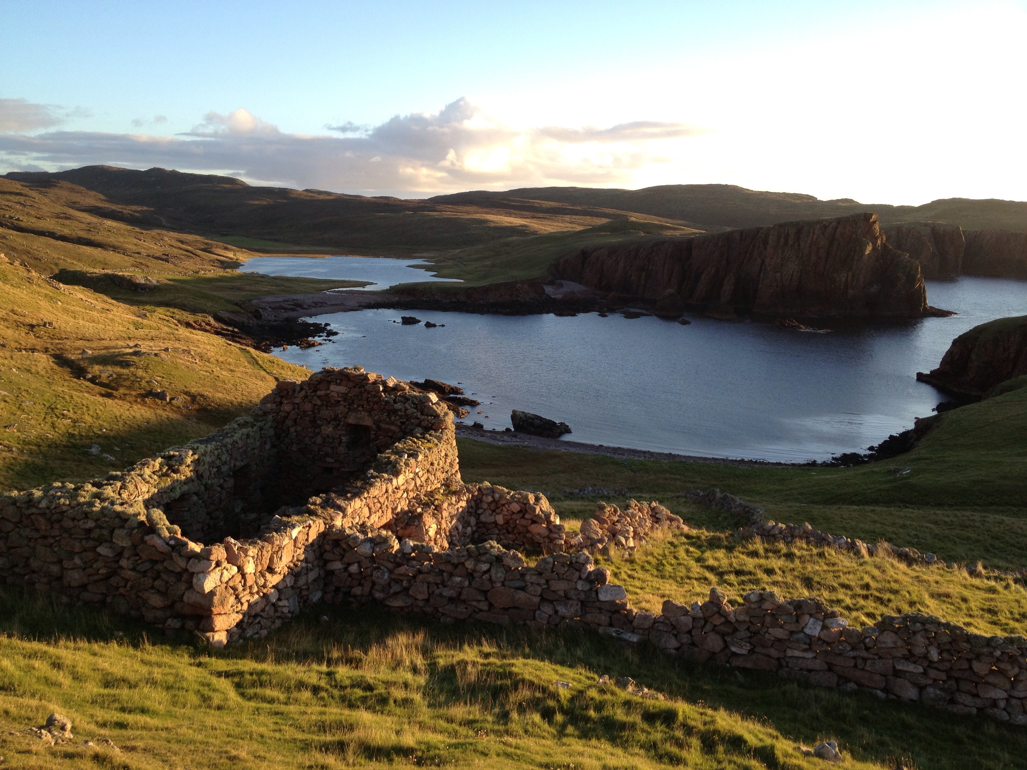
View from the Derelict house.
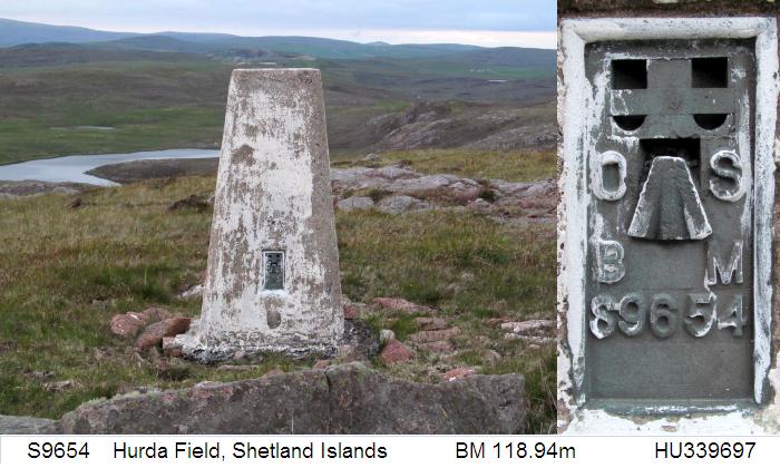
S9654 - Hurda Field

View from the Derelict house.
View towards Brae from Busta House Hotel

View from the Derelict house.

View from the Derelict house.
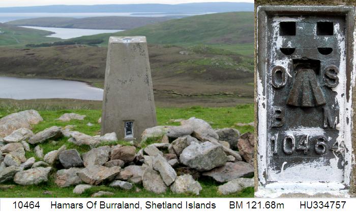
10464 - Hamars Of Burraland
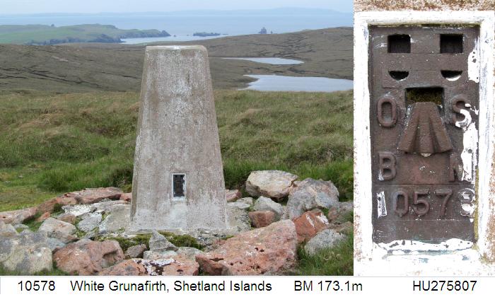
10578 - White Grunafirth
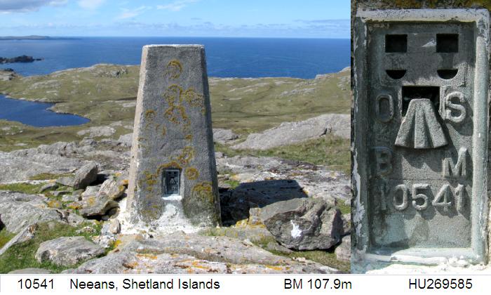
10541 - Neeans
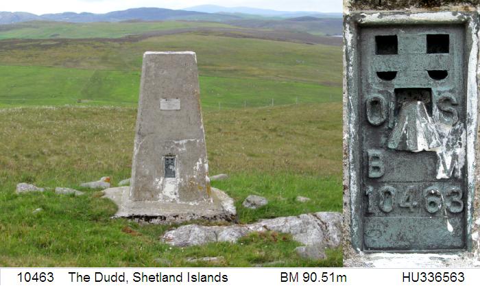
10463 - The Dudd
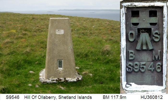
S9546 - Hill Of Ollaberry

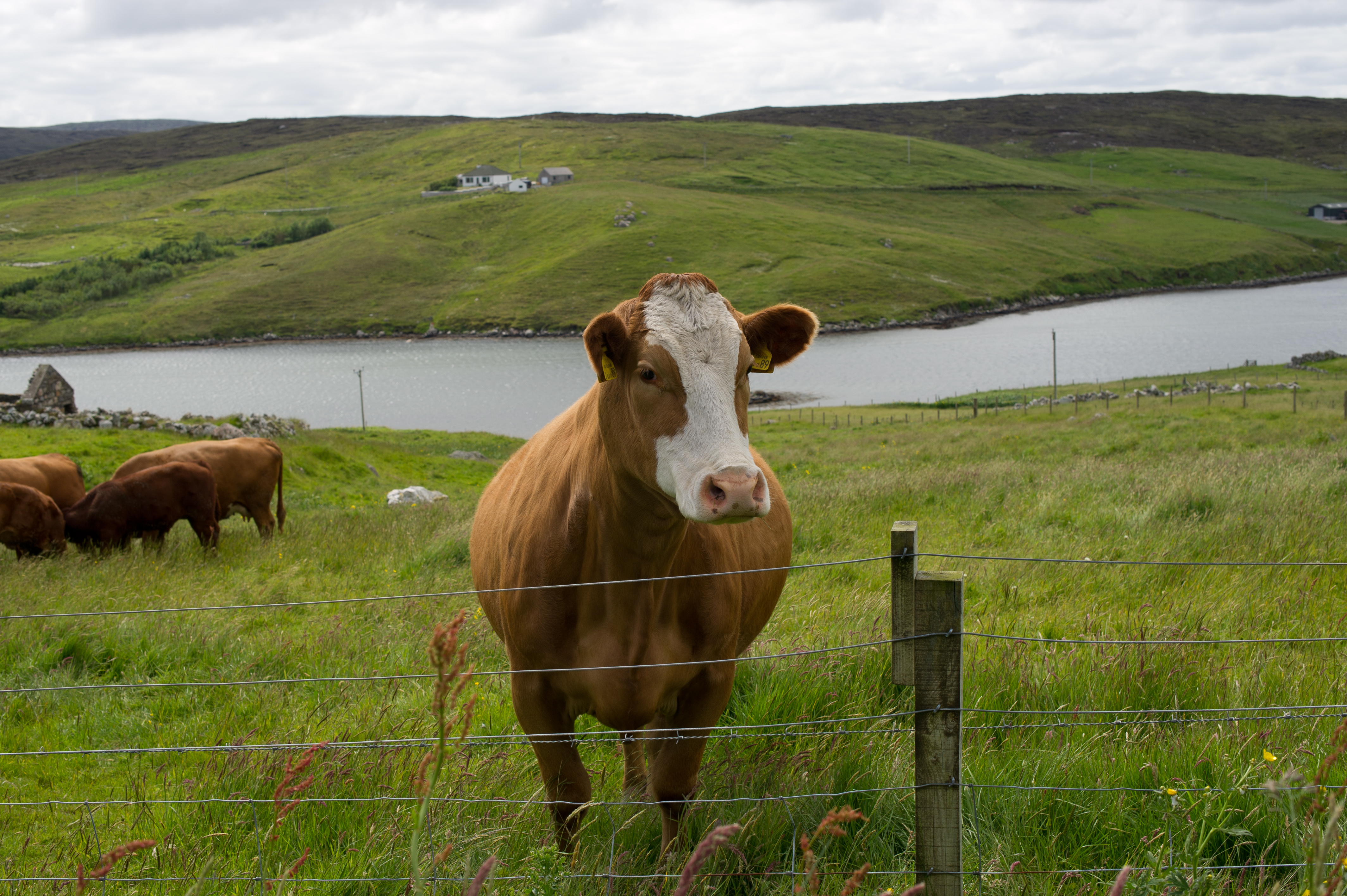
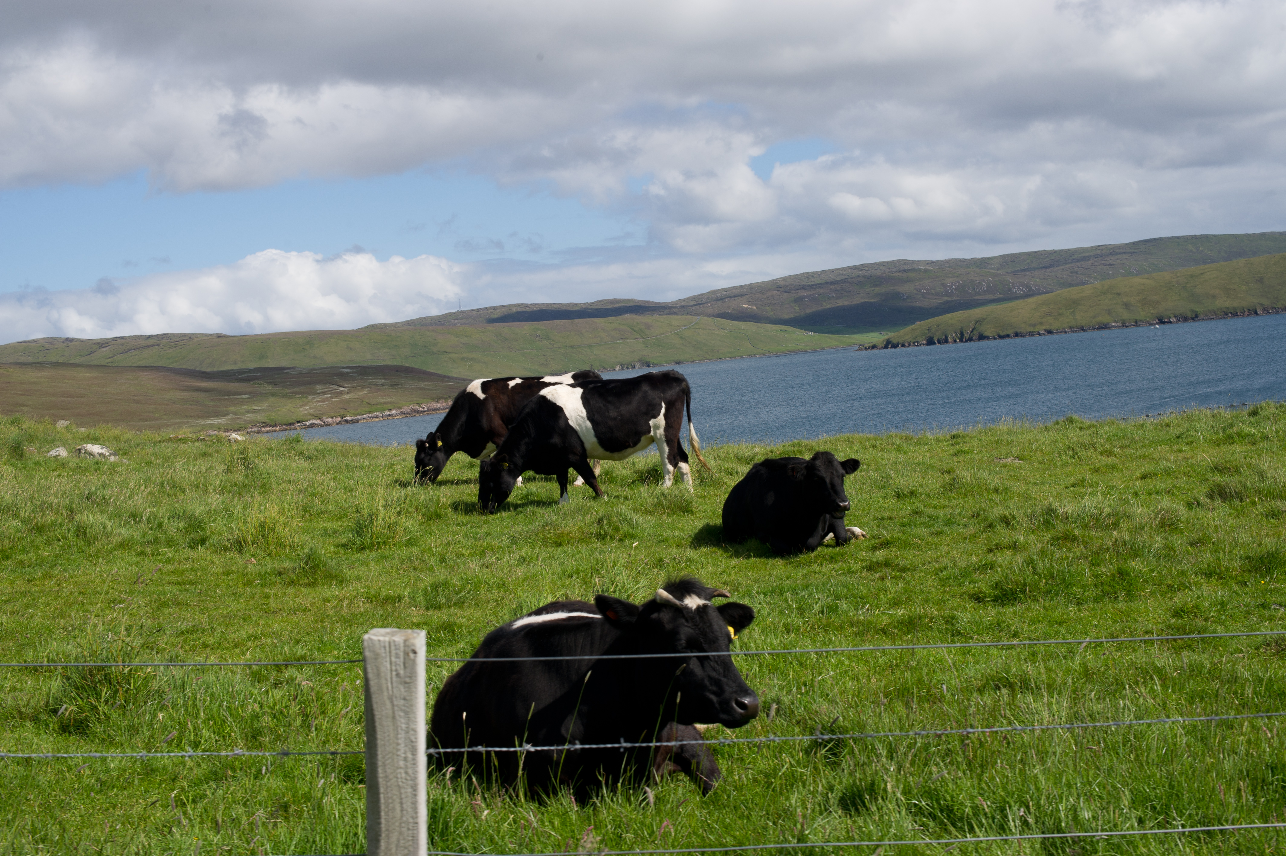
North Ham, Muckle Roe, Shetland
Winter light over Mangaster Voe; Shetland Islands

Shetland In The Snow 1

Shetland In The Snow 2
Baa Taing Lighthouse
Seeing the Light
2017-06-n5-0550
2017-06-n5-0611
2017-06-n5-0576
2017-06-n5-0577
2017-06-n5-0508
Ness of Hillswick Coastline
The Quilse II
Gordi Stack VI
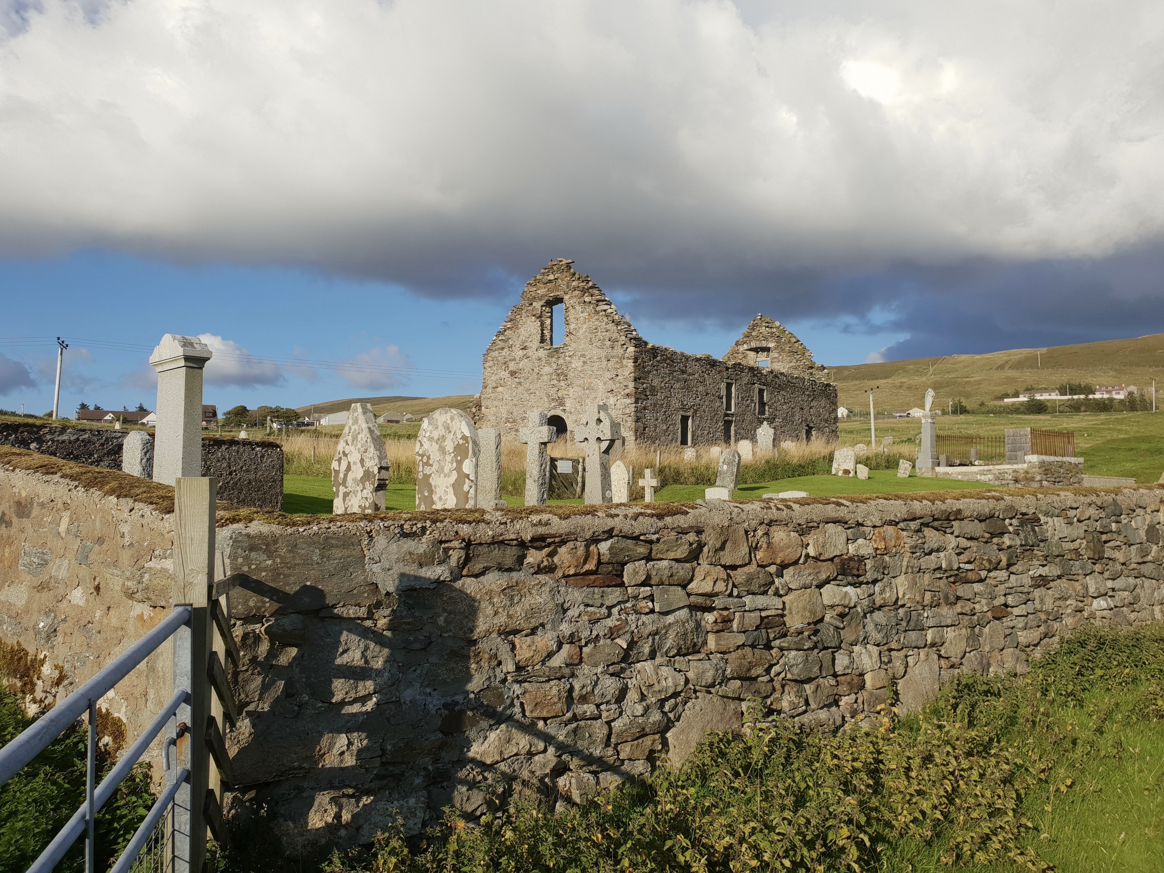
Voe Kirk Ruin I
2017-06-n5-9646
2017-06-n5-9648

P_20170407_175915_HDR.jpg
Cliffs at Sand Wick

2017-06-n5-0557
Seeing the Light II
Topographic Map of Grunnablett, Brae, Shetland ZE2 9QJ, UK
Find elevation by address:

Places near Grunnablett, Brae, Shetland ZE2 9QJ, UK:
Brae
Shetland
Sullom Voe Oil Terminal
Ze2
Craigpark Road
Scalloway
Hoofields
Ze1 0ey
Clickimin Loch
Lerwick
Ze2 9ey
2 Queens Pl
Knab Road
Whalsay
2 Vevoe, Brough, Whalsay, Shetland ZE2 9AN, UK
Sandwick
Ze2 9nz
St Ninians Isle
Mousa
6 Toabsgeo, Virkie, Shetland ZE3 9JJ, UK
Recent Searches:
- Elevation of Keene Point Drive, Keene Point Dr, Grant, AL, USA
- Elevation of State St, Zanesville, OH, USA
- Elevation of Austin Stone Dr, Haslet, TX, USA
- Elevation of Bydgoszcz, Poland
- Elevation of Bydgoszcz, Poland
- Elevation of Calais Dr, Del Mar, CA, USA
- Elevation of Placer Mine Ln, West Jordan, UT, USA
- Elevation of E 63rd St, New York, NY, USA
- Elevation of Elk City, OK, USA
- Elevation of Erika Dr, Windsor, CA, USA