Elevation of Japan, 〒- Shimane-ken, Gōtsu-shi, Kakushichō, イ715
Location: Japan > Shimane Prefecture > Gotsu >
Longitude: 132.217119
Latitude: 35.0004437
Elevation: 19m / 62feet
Barometric Pressure: 101KPa
Elevation Map:
Satellite Map:
Related Photos:
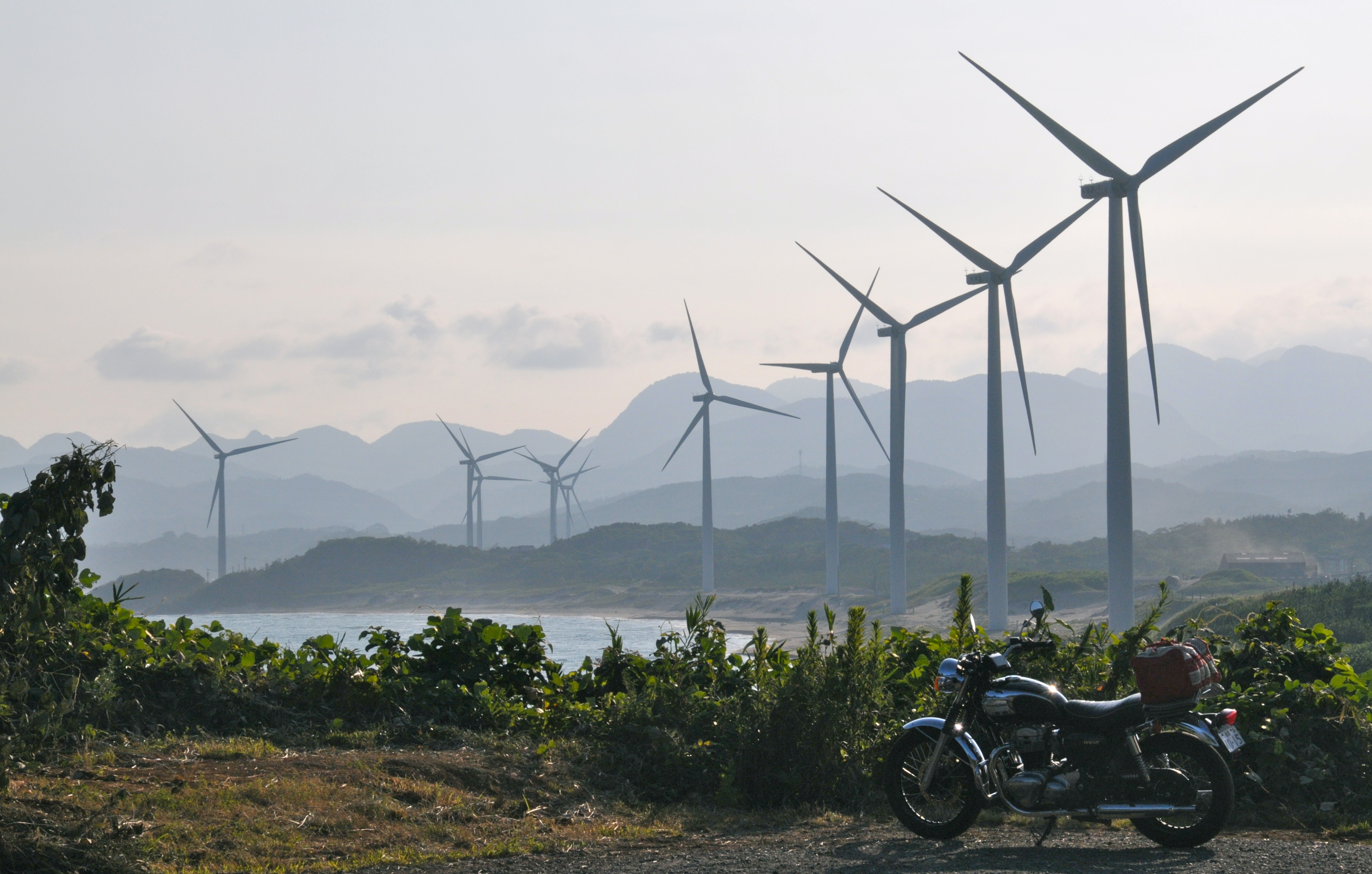
view of windmills with my W650

Street view, Yunotsu, Japan
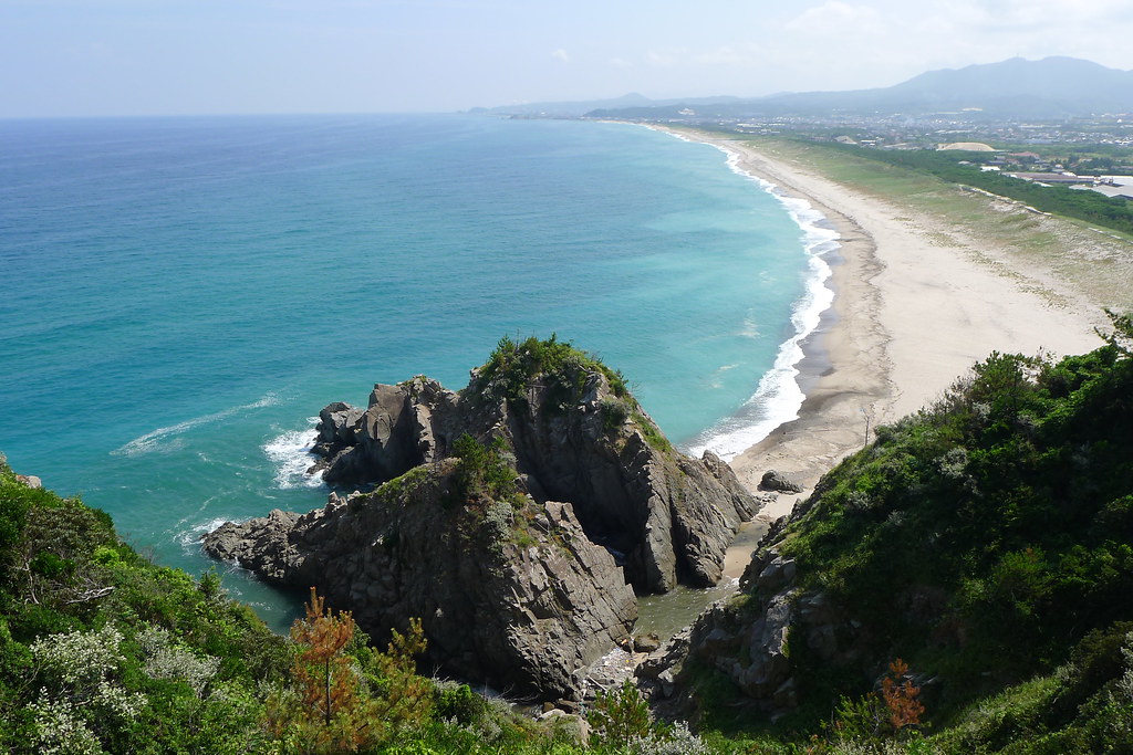
Tununoura (角の浦)

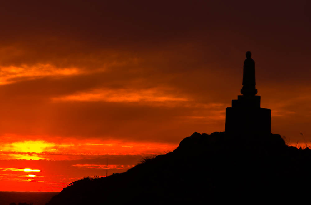
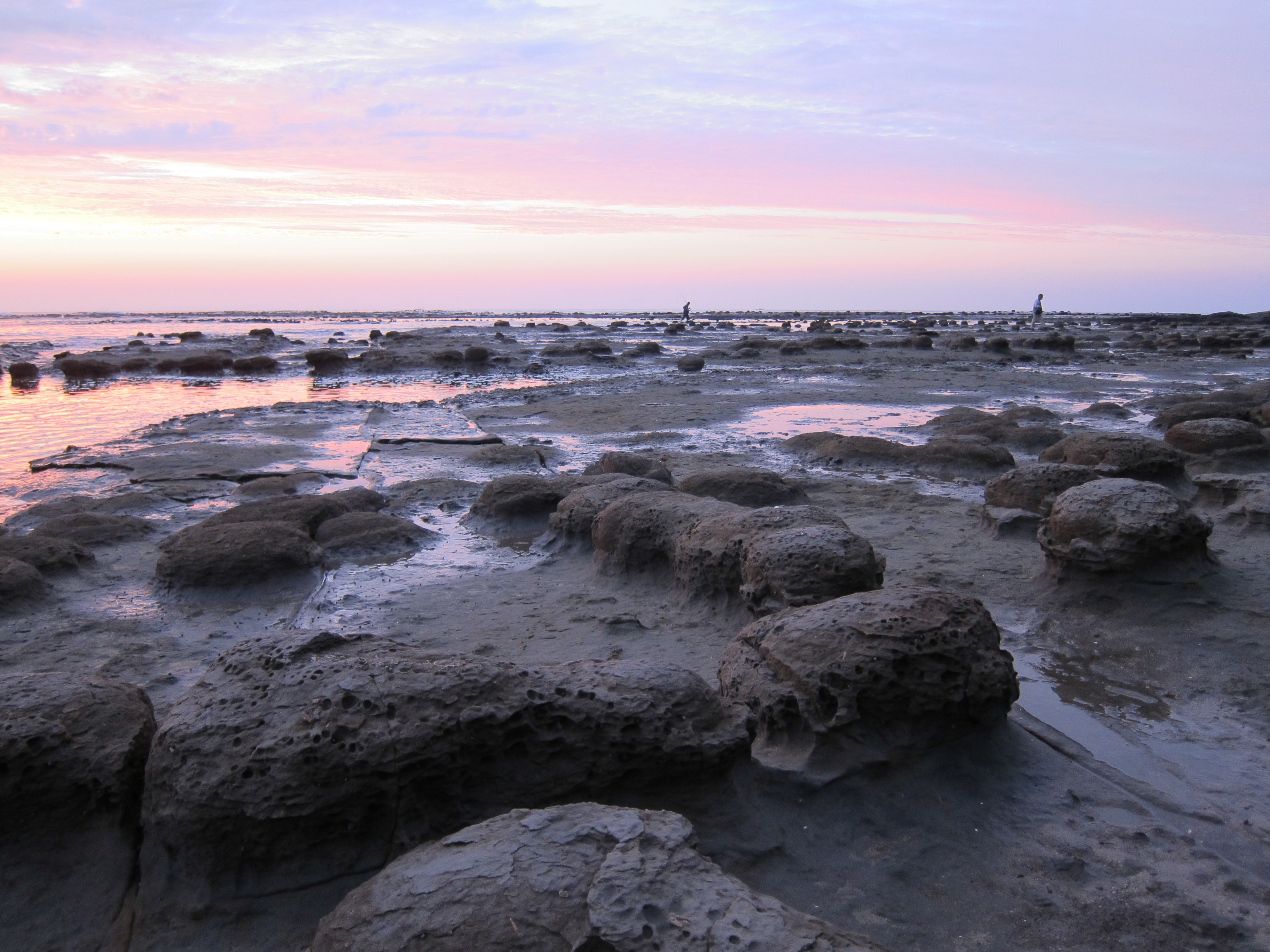
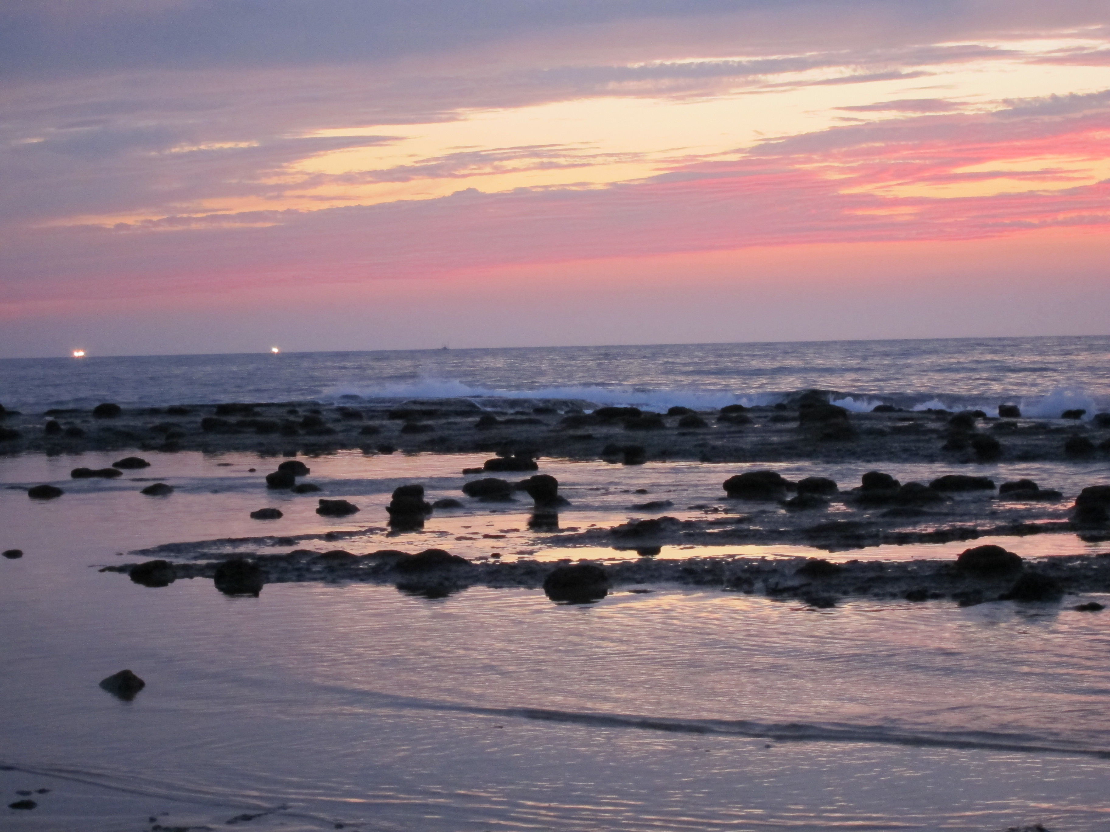
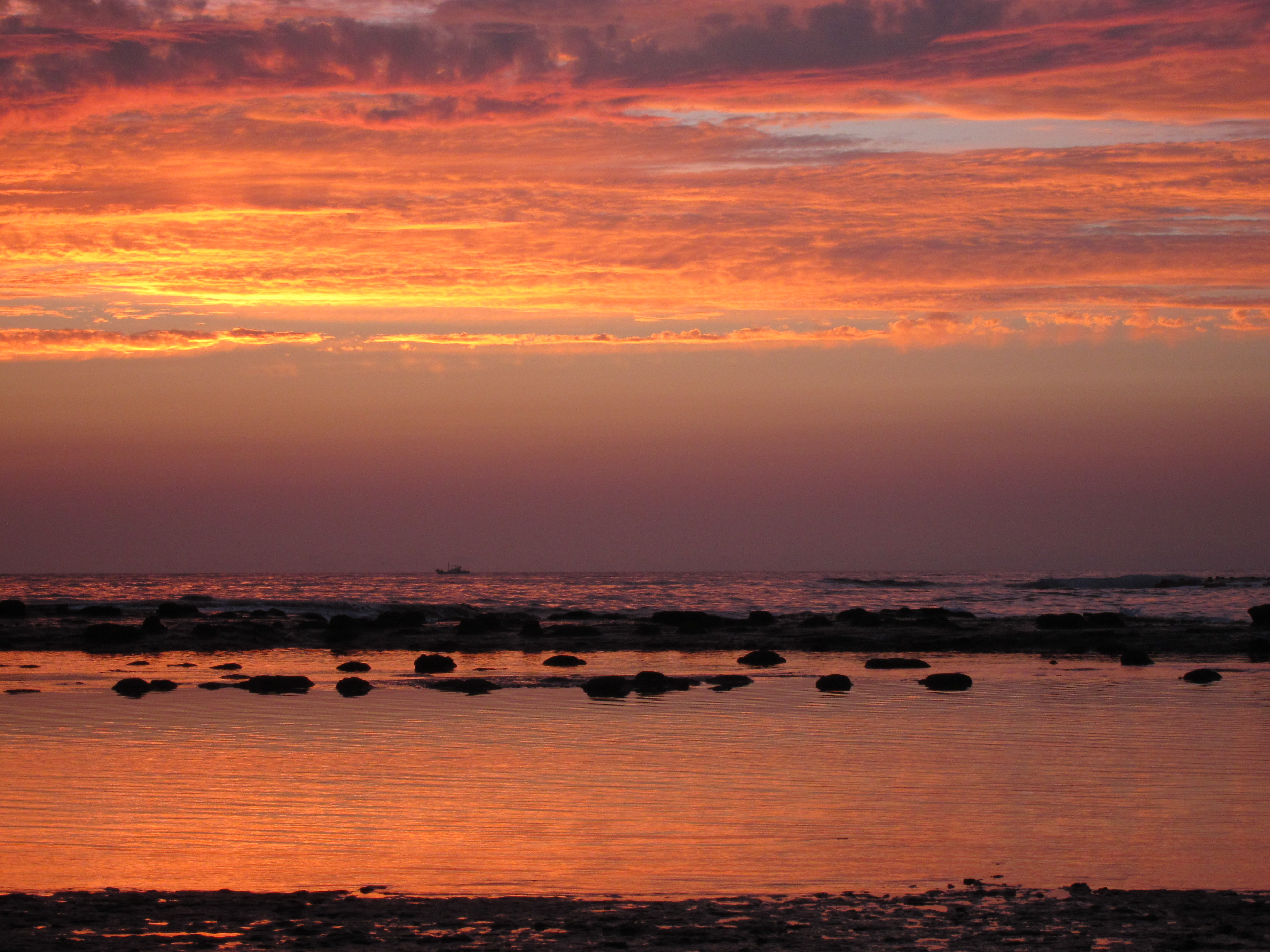
Winter Sunse in the Sea Of Japan 冬の日本海に落ちる夕日

Sunset Japan Sea
Autumn Sunset in Japan Sea

R0010176.jpg
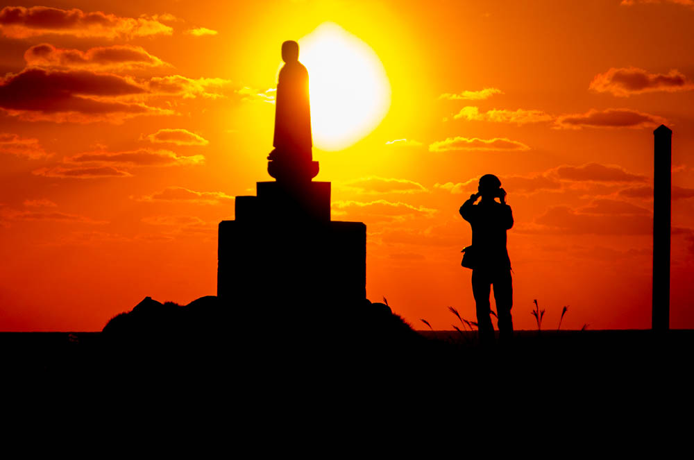
Jizou & Photographer

名称未設定-3059.JPG

Today's Sunset Oct 25th 日本海の日没
IMG_4719.jpg

The landscape of Shimane

IMG_4705-2.jpg

IMG_4709-2.jpg
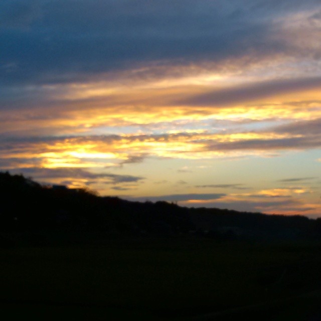
現場から帰り、工場で明日の準備を済ませての帰り道、空は綺麗な夕焼けでした。明日も晴れます〜!

The landscape of Shimane
IMG_4722-2.jpg

The landscape of Shimane

IMG_4715-2.jpg
IMG_4716.jpg
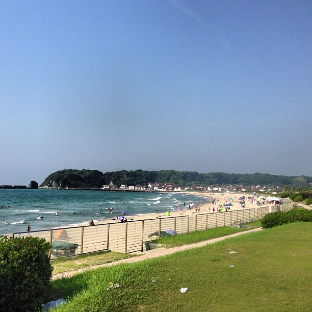
Kokufu beach Hamada, Shimane

A stream in A forest #3
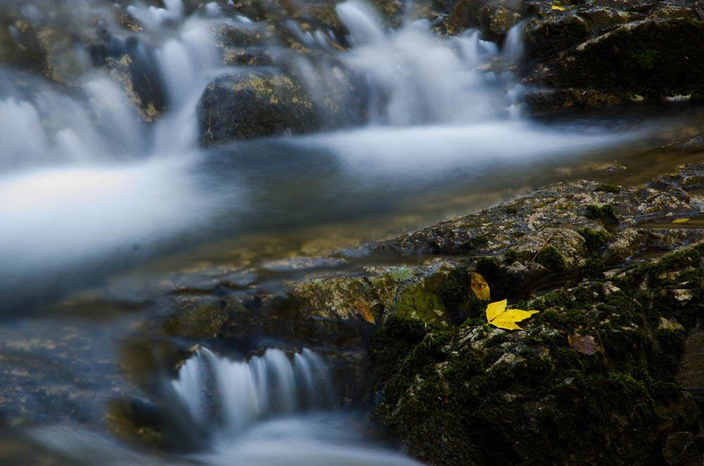
Stream and a leaf 渓谷にて
Topographic Map of Japan, 〒- Shimane-ken, Gōtsu-shi, Kakushichō, イ715
Find elevation by address:

Places near Japan, 〒- Shimane-ken, Gōtsu-shi, Kakushichō, イ715:
ワークステーション江津
1525 Gōtsuchō
Gotsu
Nimachō Nima, Ōda-shi, Shimane-ken -, Japan
Onan
Yakami, Ōnan-chō, Ōchi-gun, Shimane-ken -, Japan
Kawamoto
-1 Kawamoto, Kawamoto-machi, Ōchi-gun, Shimane-ken -, Japan
76 Kataragai, Misato-chō, Ōchi-gun, Shimane-ken -, Japan
Kyōranbara, Misato-chō, Ōchi-gun, Shimane-ken -, Japan
Jitōsho, Misato-chō, Ōchi-gun, Shimane-ken -, Japan
Ochi District
Minato, Misato-chō, Ōchi-gun, Shimane-ken -, Japan
Kobayashi, Misato-chō, Ōchi-gun, Shimane-ken -, Japan
Komatsuji, Misato-chō, Ōchi-gun, Shimane-ken -, Japan
Sōmori, Misato-chō, Ōchi-gun, Shimane-ken -, Japan
Beppu, Misato-chō, Ōchi-gun, Shimane-ken -, Japan
Yamagata District
Shigimi, Misato-chō, Ōchi-gun, Shimane-ken -, Japan
Yanaze, Misato-chō, Ōchi-gun, Shimane-ken -, Japan
Recent Searches:
- Elevation of Groblershoop, South Africa
- Elevation of Power Generation Enterprises | Industrial Diesel Generators, Oak Ave, Canyon Country, CA, USA
- Elevation of Chesaw Rd, Oroville, WA, USA
- Elevation of N, Mt Pleasant, UT, USA
- Elevation of 6 Rue Jules Ferry, Beausoleil, France
- Elevation of Sattva Horizon, 4JC6+G9P, Vinayak Nagar, Kattigenahalli, Bengaluru, Karnataka, India
- Elevation of Great Brook Sports, Gold Star Hwy, Groton, CT, USA
- Elevation of 10 Mountain Laurels Dr, Nashua, NH, USA
- Elevation of 16 Gilboa Ln, Nashua, NH, USA
- Elevation of Laurel Rd, Townsend, TN, USA