Elevation of Yamagata District, Hiroshima Prefecture, Japan
Location: Japan > Hiroshima Prefecture >
Longitude: 132.349
Latitude: 34.689
Elevation: 776m / 2546feet
Barometric Pressure: 92KPa
Elevation Map:
Satellite Map:
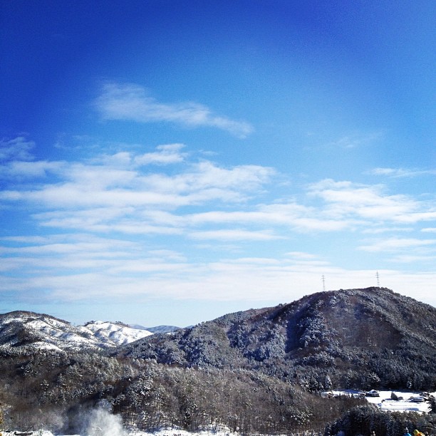
Related Photos:
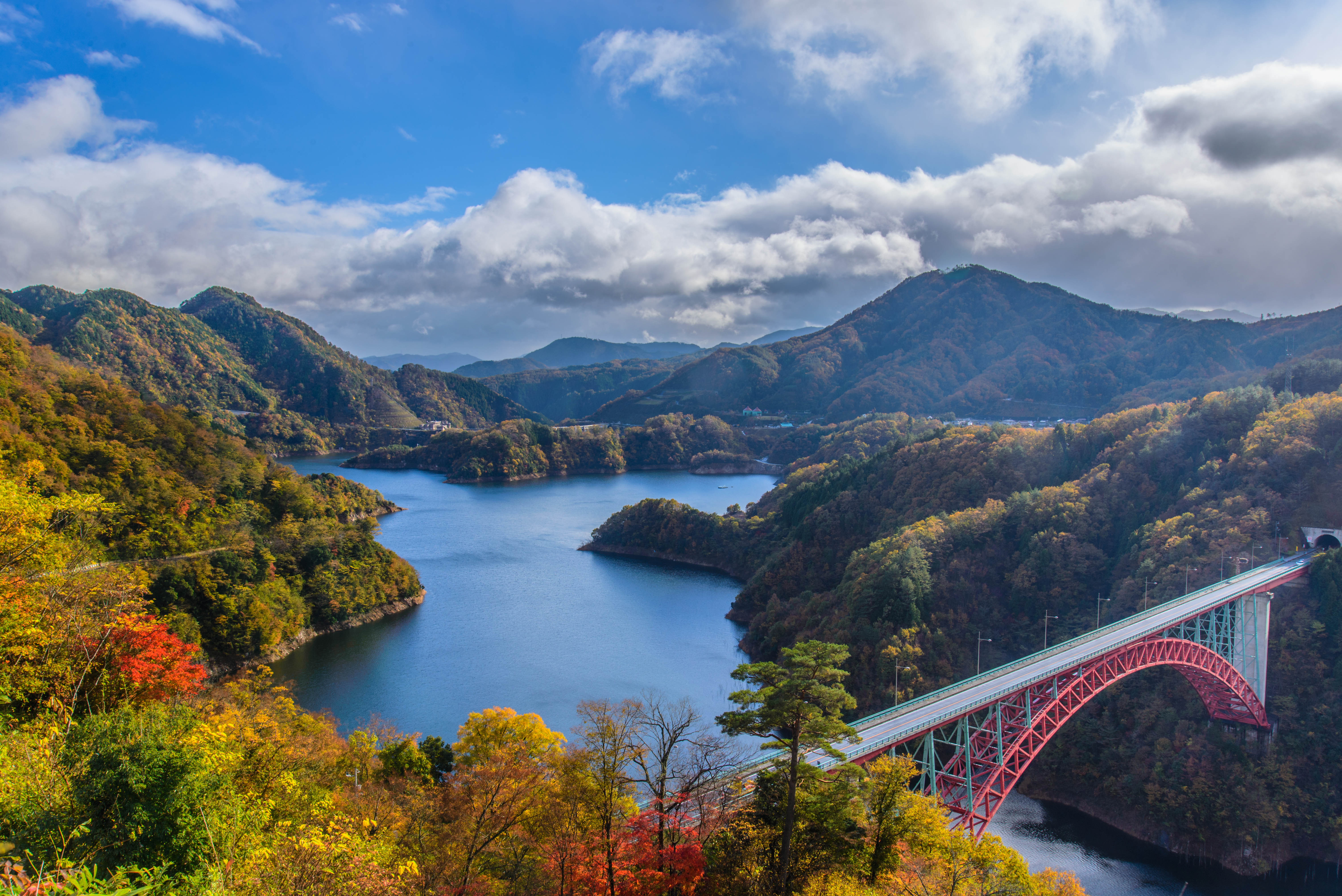
Colorful autumn Dam
Autumn fall 深山峡の秋

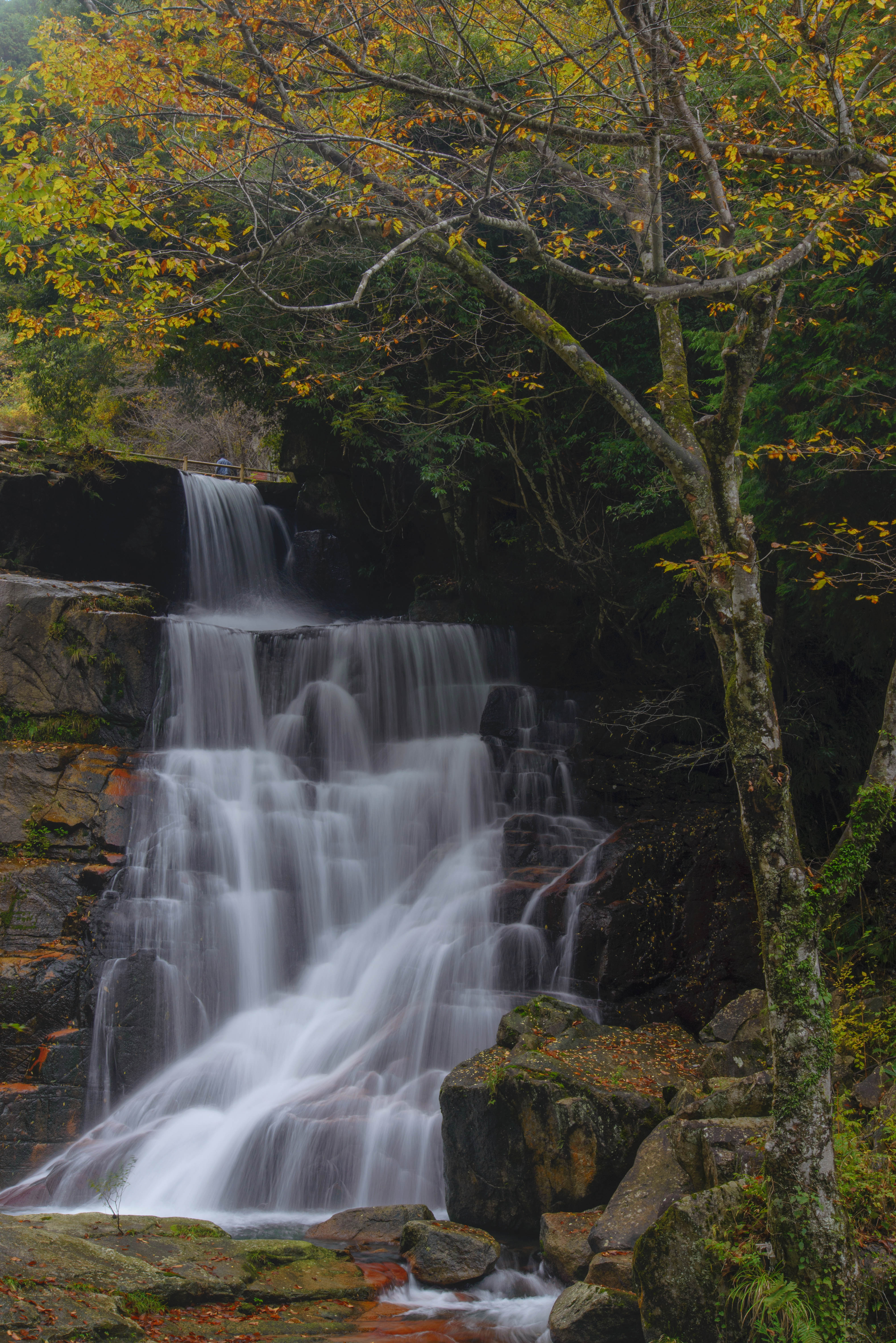
雑木林の紅葉♪( ´▽`)

ユウスゲ

d110722429 - バージョン 2

d110722428 - バージョン 2

d081014248-ap3
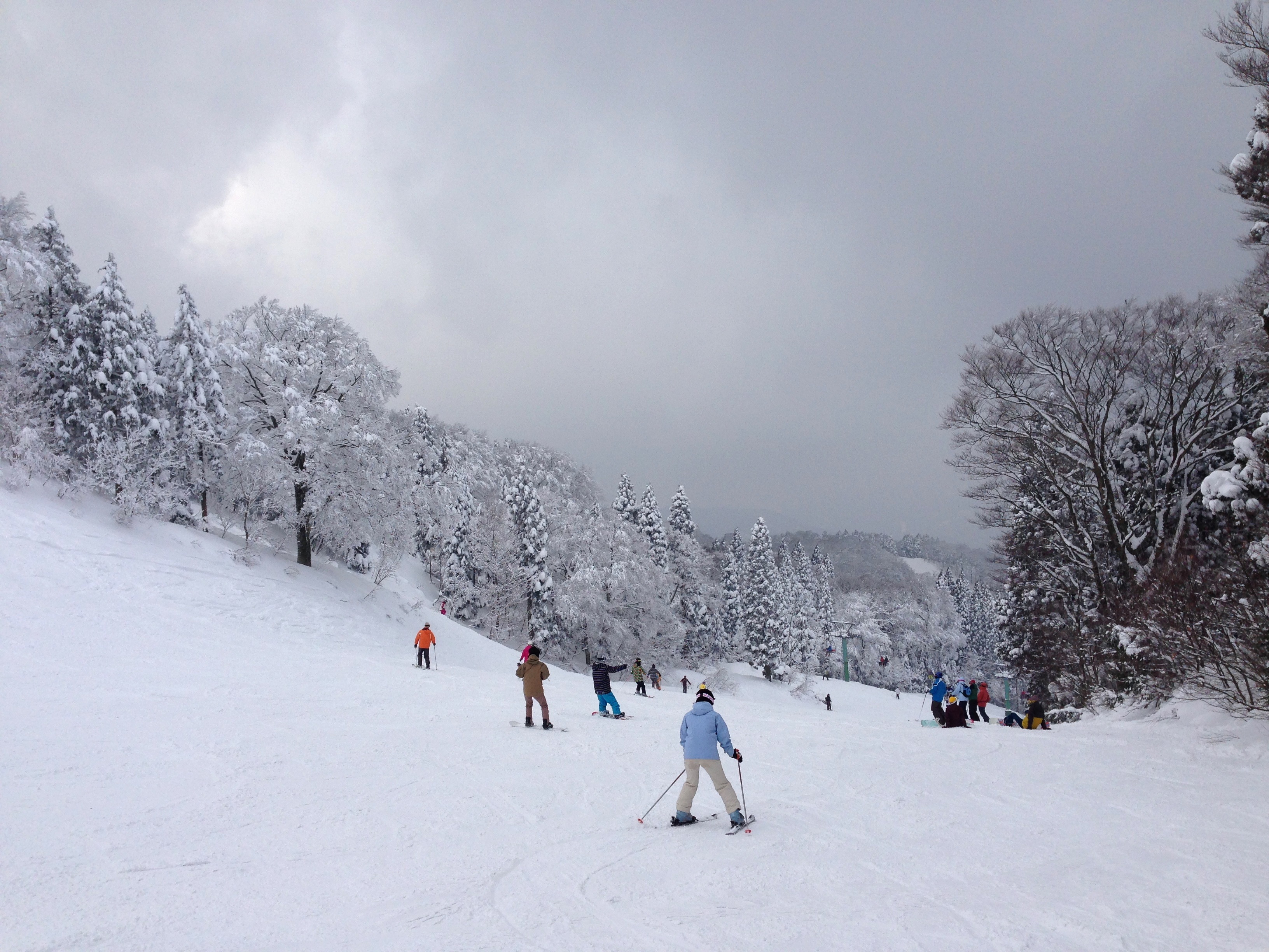
2014 ASAHI TENGUSUTON Ski Area
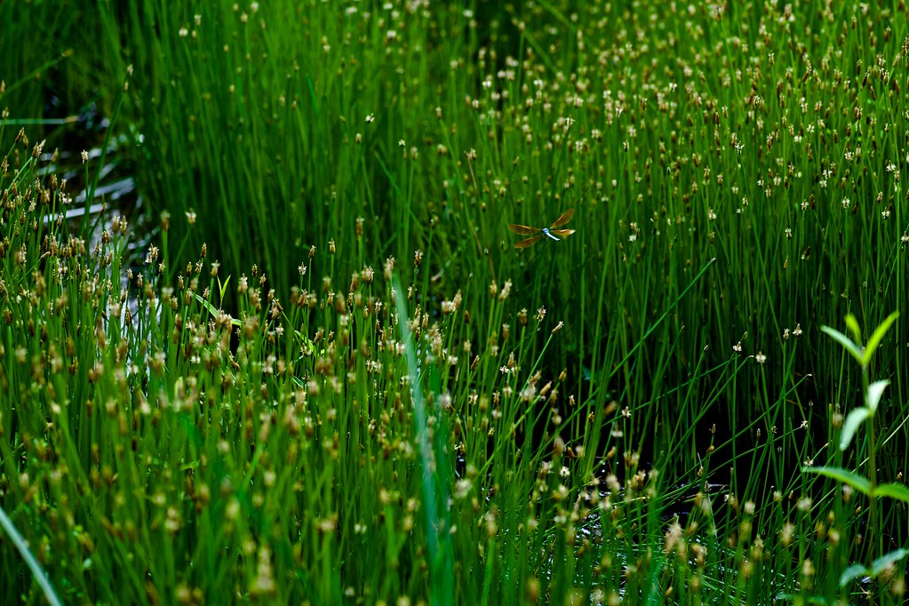
とんぼ
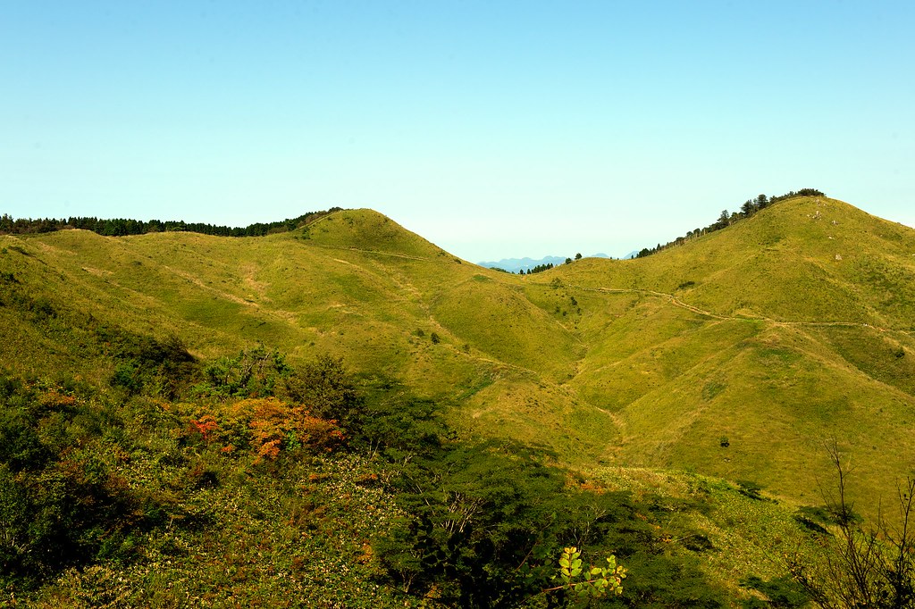
岩倉山と高山
いい天気です(^^)
Topographic Map of Yamagata District, Hiroshima Prefecture, Japan
Find elevation by address:

Places in Yamagata District, Hiroshima Prefecture, Japan:
Places near Yamagata District, Hiroshima Prefecture, Japan:
Inoshiyama, Akiōta-chō, Yamagata-gun, Hiroshima-ken -, Japan
Shijihara, Kitahiroshima-chō, Yamagata-gun, Hiroshima-ken -, Japan
Jiryō, Akiōta-chō, Yamagata-gun, Hiroshima-ken -, Japan
1896-3 Asachō Ōaza Suzuhari
今橋一級建築士事務所
Asachō Ōaza Imuro, Asakita-ku, Hiroshima-shi, Hiroshima-ken -, Japan
Akiota
87 Doi, Akiōta-chō, Yamagata-gun, Hiroshima-ken -, Japan
Asachō Ōaza Kuchi, Asakita-ku, Hiroshima-shi, Hiroshima-ken -, Japan
Asachō Ōaza Kegi, Asakita-ku, Hiroshima-shi, Hiroshima-ken -, Japan
Kitahiroshima
ヨシムラガラス
18-21 Asachō Ōaza Kusunokidai
- Kabechō Ōaza Katsugi, Asakita-ku, Hiroshima-shi, Hiroshima-ken -, Japan
Kabechō Ōaza Ayagatani, Asakita-ku, Hiroshima-shi, Hiroshima-ken -, Japan
9 Chome-15-8 Asahigaoka, Asakita-ku, Hiroshima-shi, Hiroshima-ken -, Japan
9 Chome-23-4 Kameyama, Asakita-ku, Hiroshima-shi, Hiroshima-ken -, Japan
1 Chome-25-7 Asahigaoka, Asakita-ku, Hiroshima-shi, Hiroshima-ken -, Japan
7 Chome-9-41-5 Kameyama, Asakita-ku, Hiroshima-shi, Hiroshima-ken -, Japan
-37 Kabechō Ōaza Imaida, Asakita-ku, Hiroshima-shi, Hiroshima-ken -, Japan
Recent Searches:
- Elevation of Rojo Ct, Atascadero, CA, USA
- Elevation of Flagstaff Drive, Flagstaff Dr, North Carolina, USA
- Elevation of Avery Ln, Lakeland, FL, USA
- Elevation of Woolwine, VA, USA
- Elevation of Lumagwas Diversified Farmers Multi-Purpose Cooperative, Lumagwas, Adtuyon, RV32+MH7, Pangantucan, Bukidnon, Philippines
- Elevation of Homestead Ridge, New Braunfels, TX, USA
- Elevation of Orchard Road, Orchard Rd, Marlborough, NY, USA
- Elevation of 12 Hutchinson Woods Dr, Fletcher, NC, USA
- Elevation of Holloway Ave, San Francisco, CA, USA
- Elevation of Norfolk, NY, USA