Elevation of Janesville, KS, USA
Location: United States > Kansas > Greenwood County >
Longitude: -96.216359
Latitude: 38.0048071
Elevation: 355m / 1165feet
Barometric Pressure: 97KPa
Elevation Map:
Satellite Map:
Related Photos:
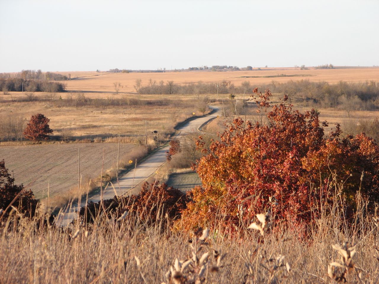
Road
DSC04782
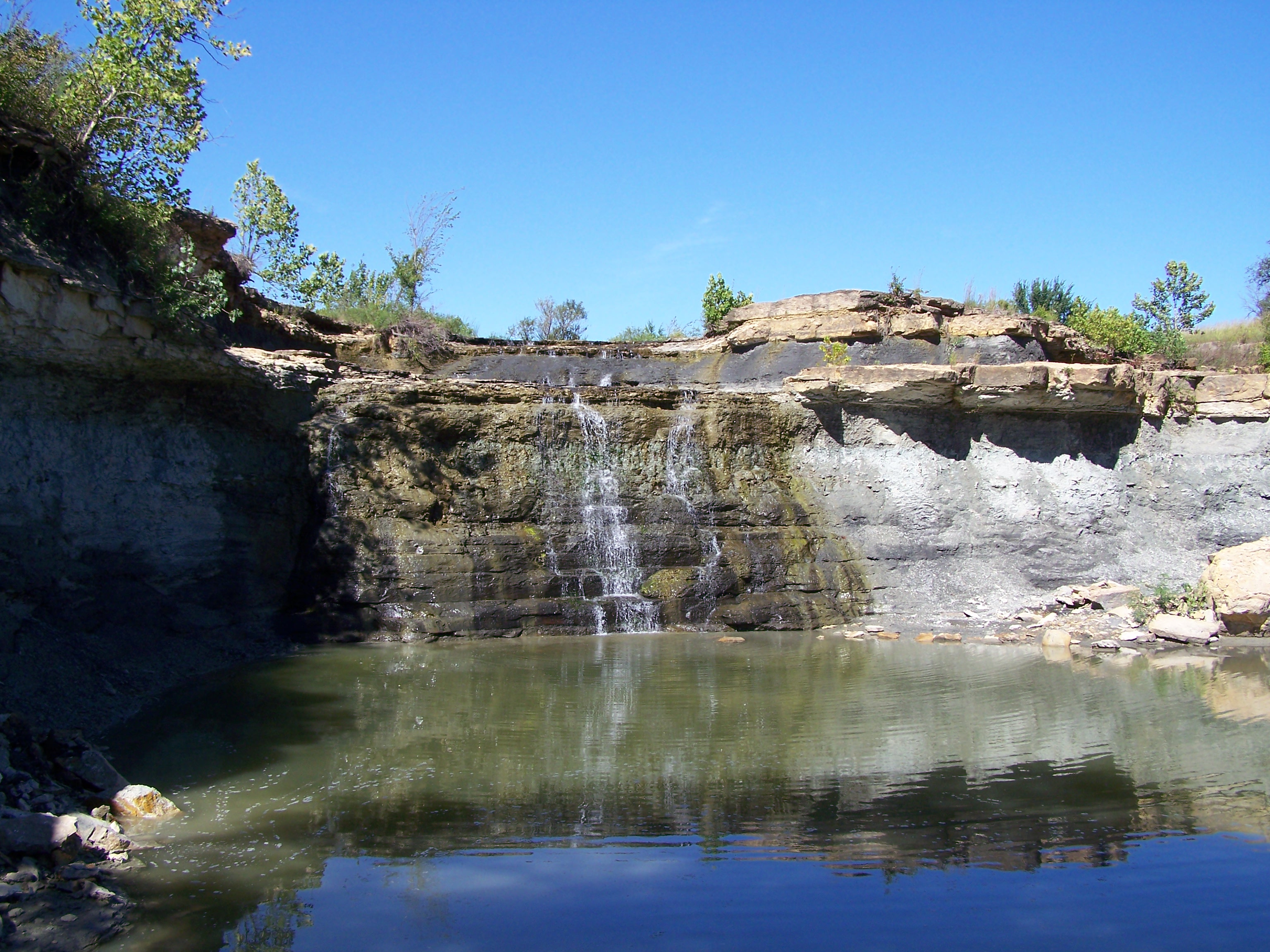
Spillway Eureka Lake
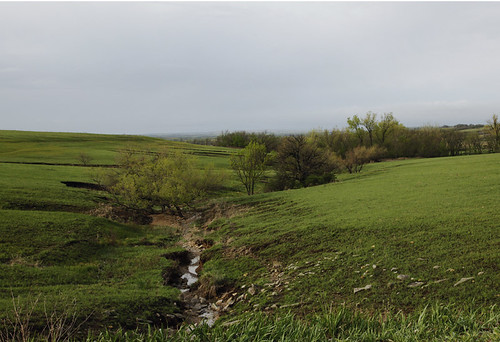
Creek in the valley _MG_2839R
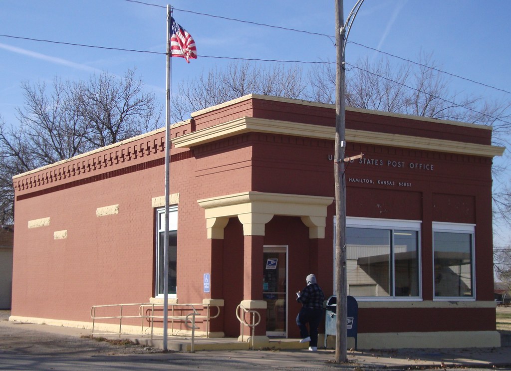
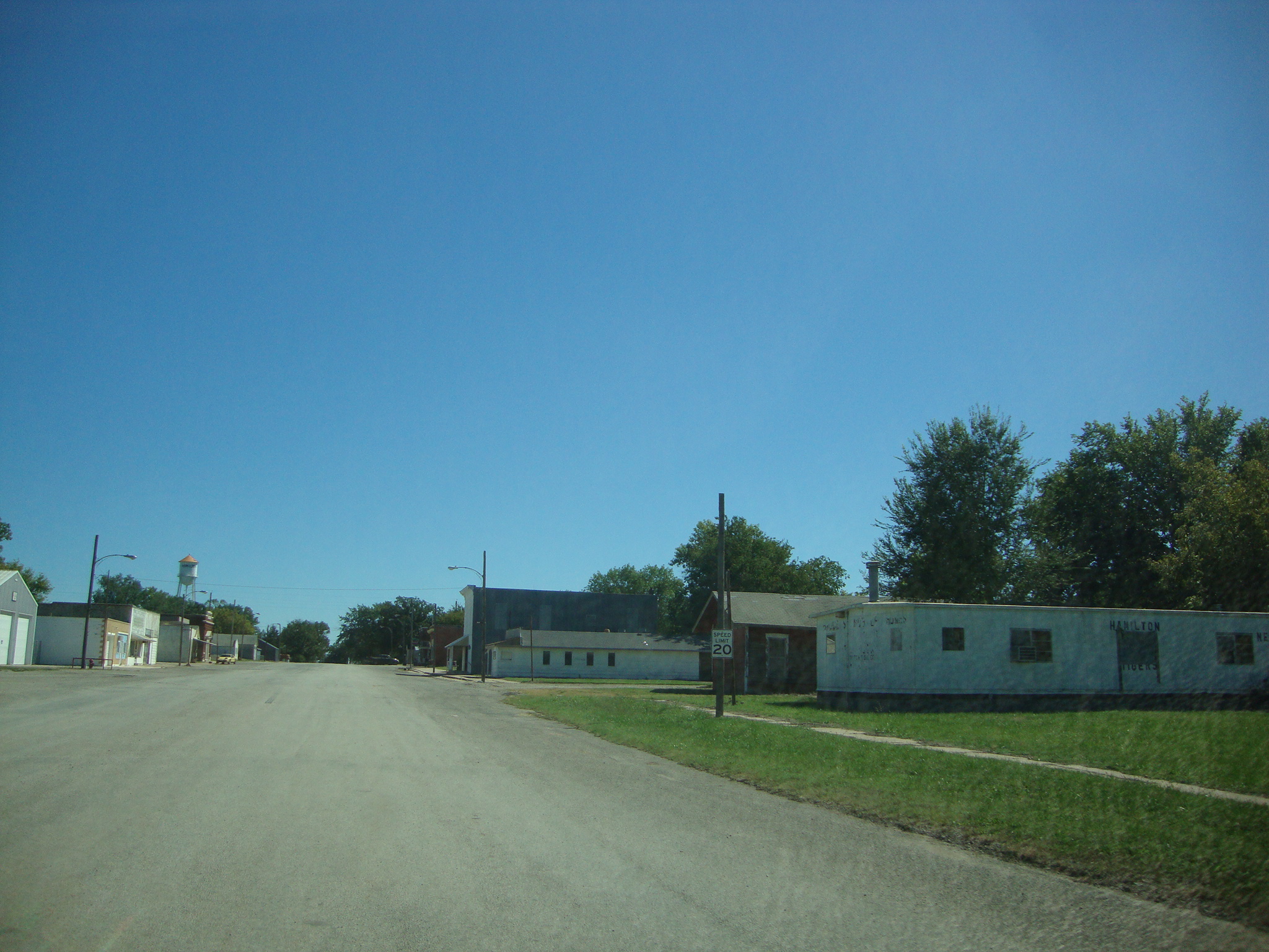
Post Office 66853 (Hamilton, Kansas)
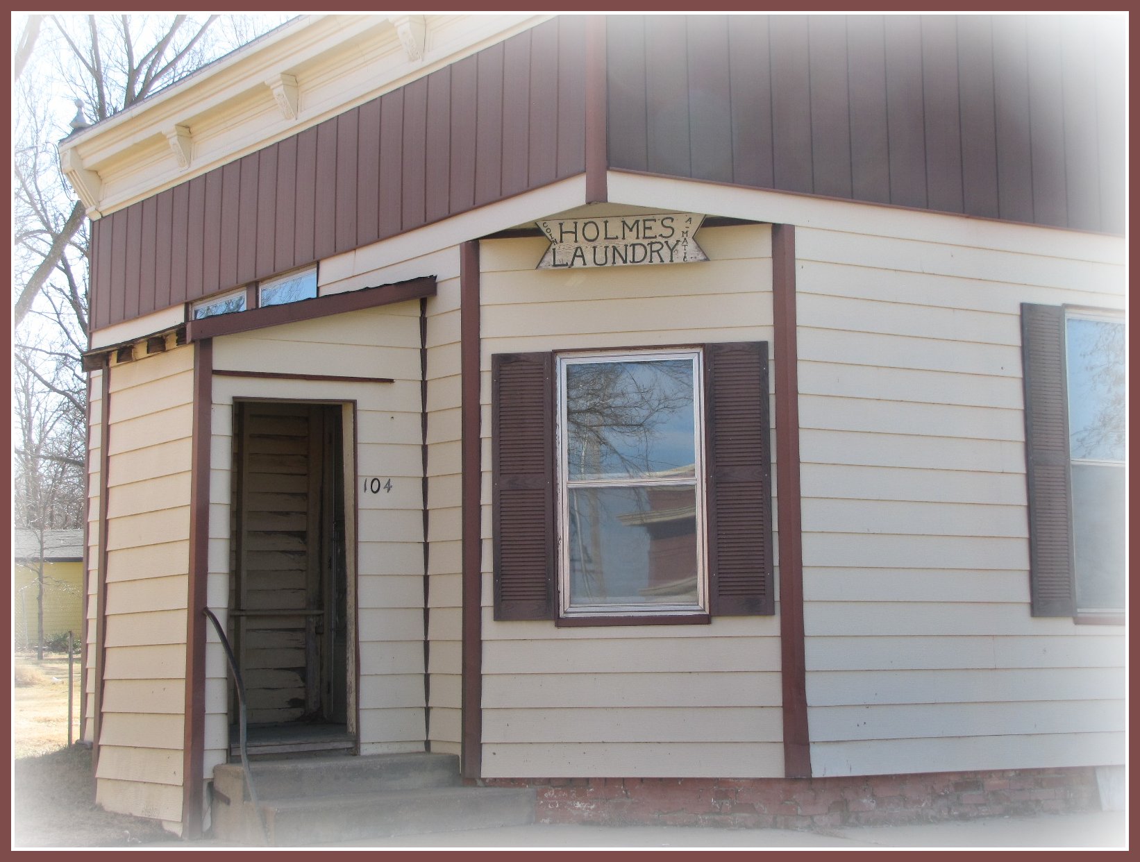
Holmes Laundry

Sundries and soda
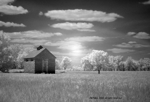
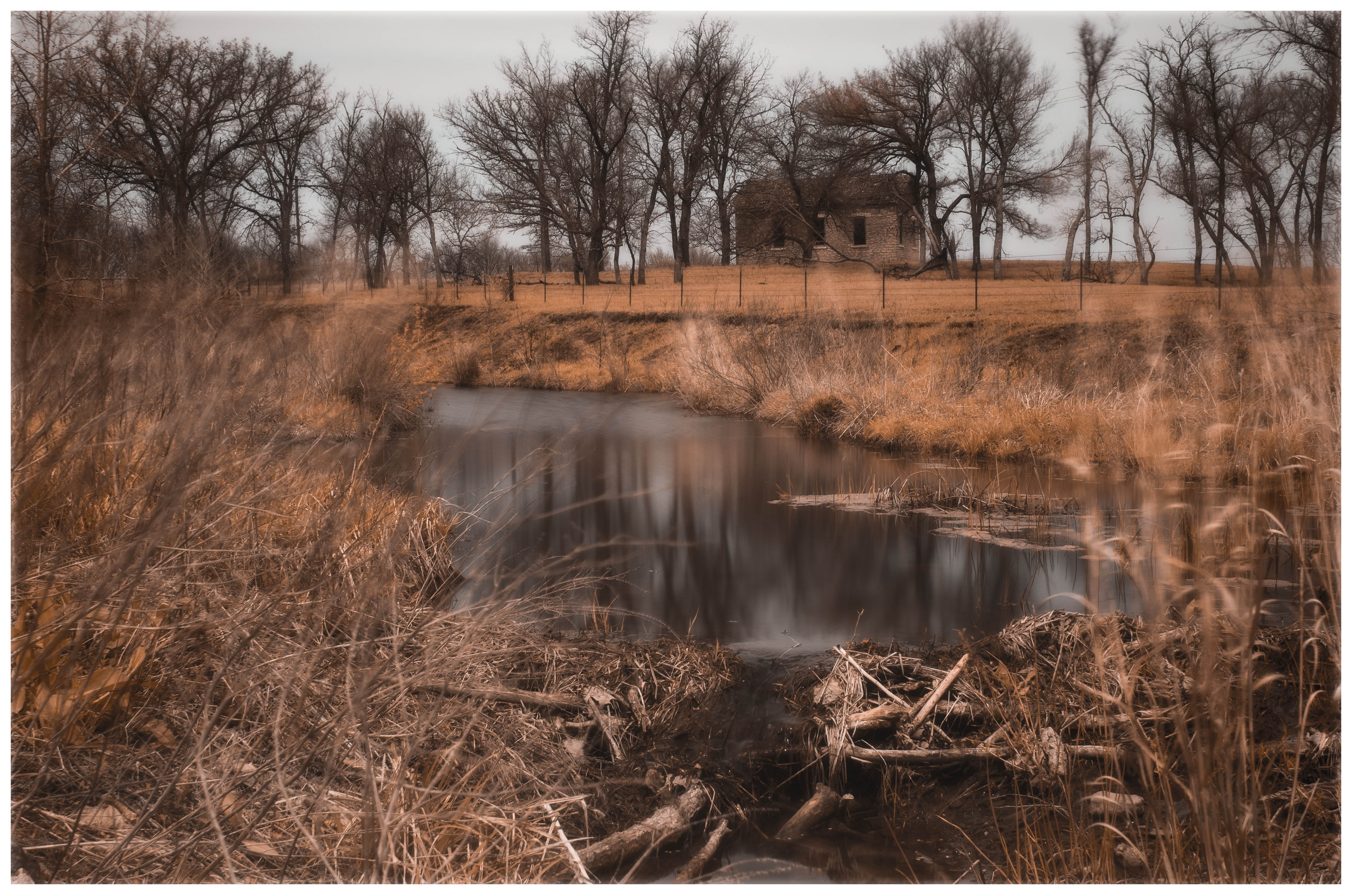
IR Little House IMG_9065c19x13IR

Holmes Sundry - Hamilton, Kansas
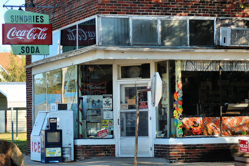
Holmes Sundry - Hamilton, Kansas

Swimming at the Madison lake
By the Creek
Topographic Map of Janesville, KS, USA
Find elevation by address:

Places in Janesville, KS, USA:
Places near Janesville, KS, USA:
Hamilton
13 Main St, Hamilton, KS, USA
3054 Co Rd 4
3054 W Rd
Leiser Construction. Llc
Madison
U Road
Center
9 W Attendorn St, Olpe, KS, USA
Olpe
Matfield
1st St, Gridley, KS, USA
Gridley
Liberty
Matfield Green
Bocook St, Matfield Green, KS, USA
Pike
120 Commercial St
Flint Hills Lanes
Emporia
Recent Searches:
- Elevation of Corso Fratelli Cairoli, 35, Macerata MC, Italy
- Elevation of Tallevast Rd, Sarasota, FL, USA
- Elevation of 4th St E, Sonoma, CA, USA
- Elevation of Black Hollow Rd, Pennsdale, PA, USA
- Elevation of Oakland Ave, Williamsport, PA, USA
- Elevation of Pedrógão Grande, Portugal
- Elevation of Klee Dr, Martinsburg, WV, USA
- Elevation of Via Roma, Pieranica CR, Italy
- Elevation of Tavkvetili Mountain, Georgia
- Elevation of Hartfords Bluff Cir, Mt Pleasant, SC, USA