Elevation of Center, KS, USA
Location: United States > Kansas > Lyon County >
Longitude: -96.258836
Latitude: 38.2552288
Elevation: 410m / 1345feet
Barometric Pressure: 96KPa
Elevation Map:
Satellite Map:
Related Photos:
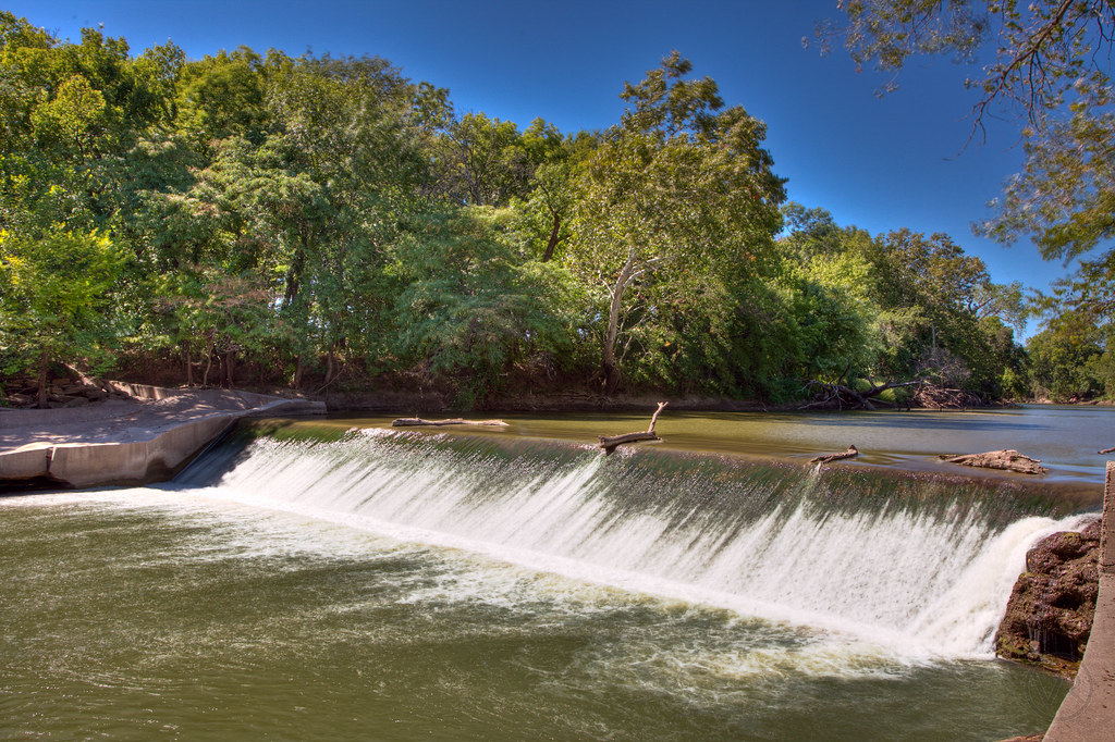
Waterfall at Emporia
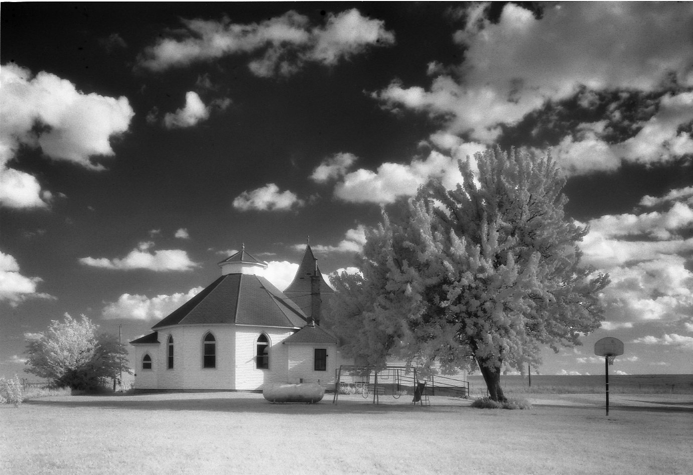
ebenezer infared june 25
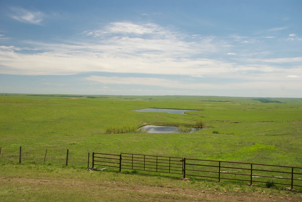
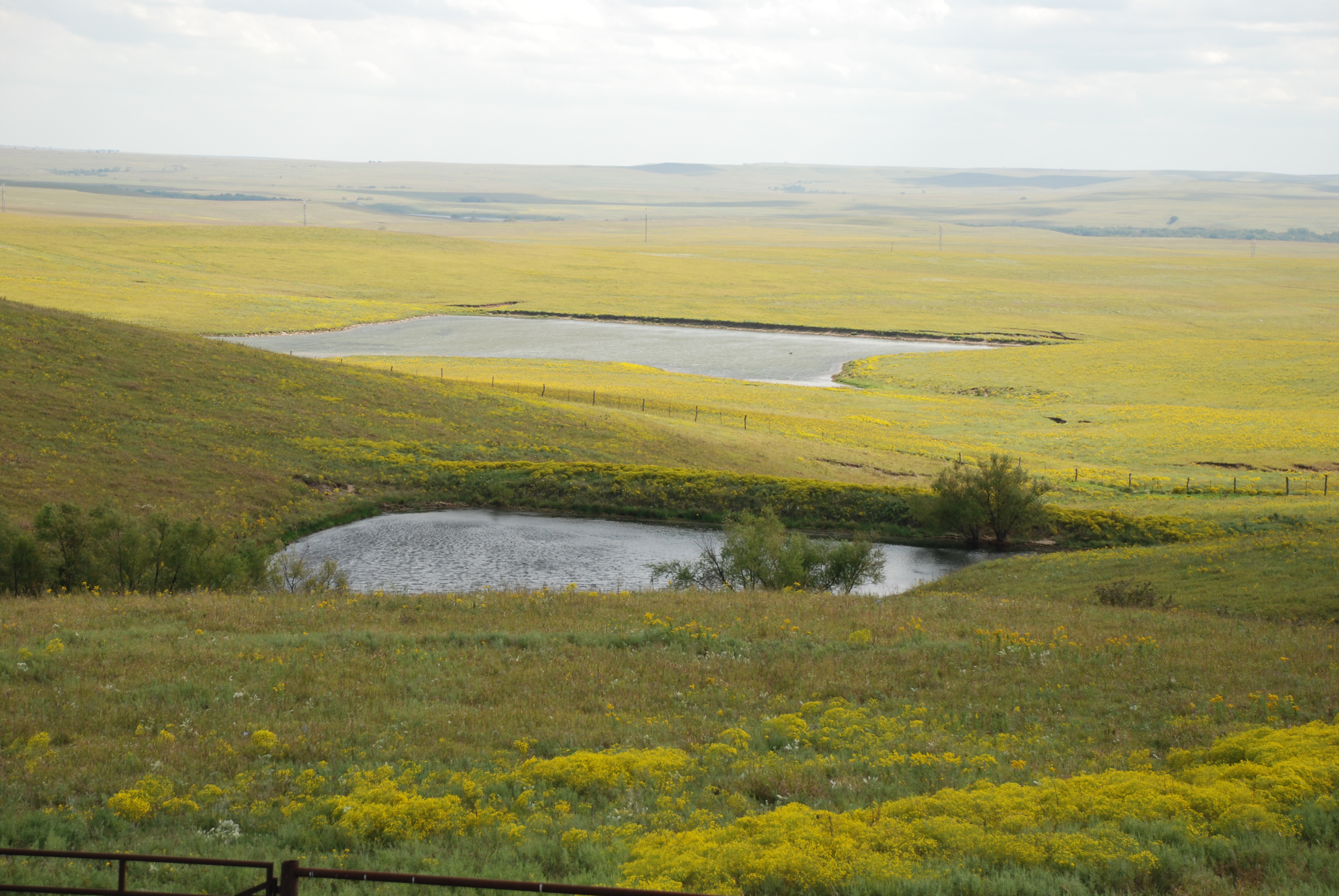
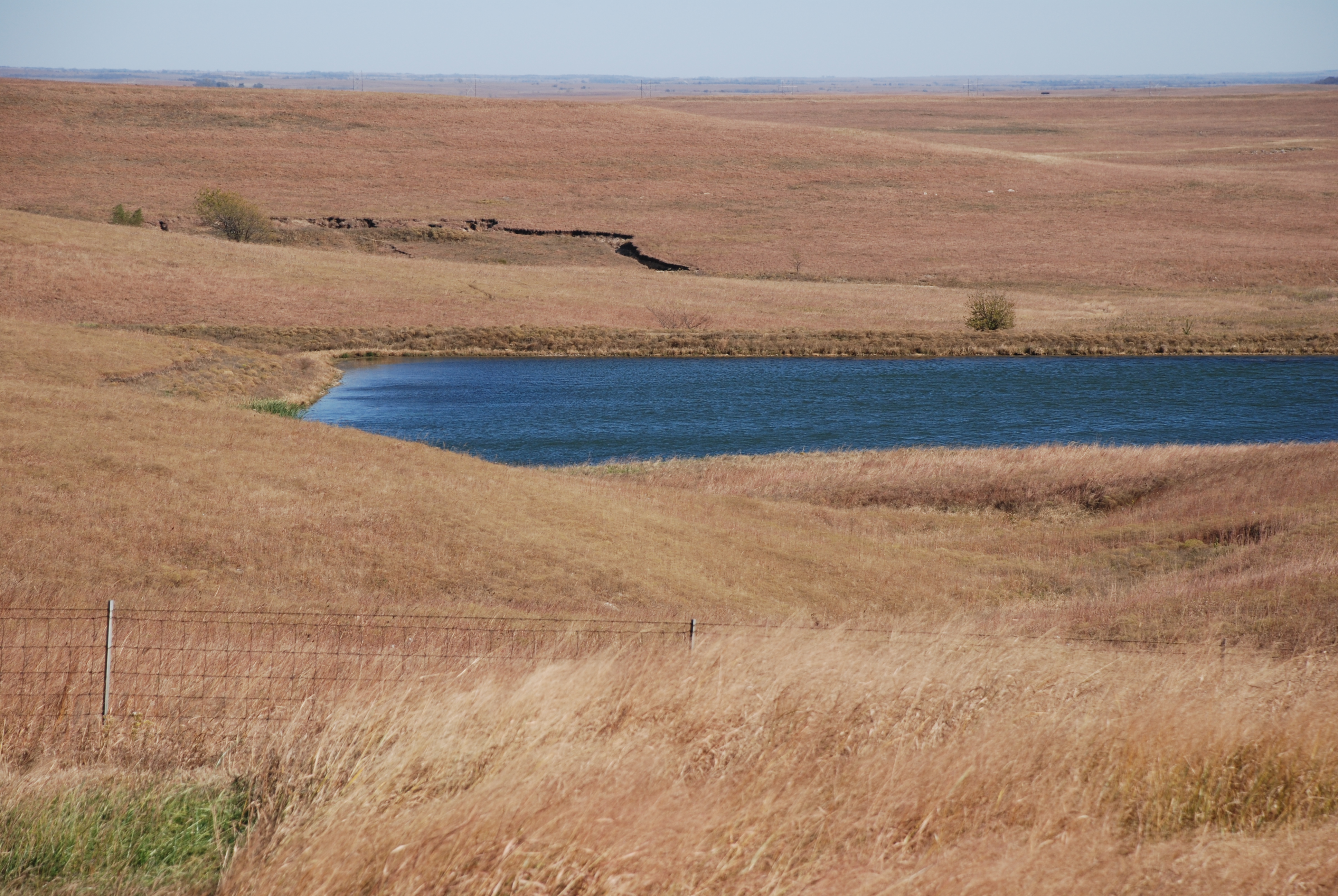
Flint Hills at Cattle Pen
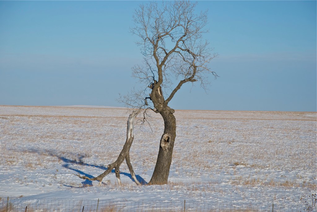
I-35 Prehistoric feeding in Winter
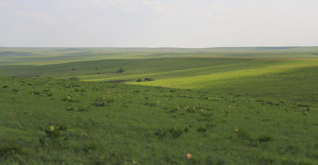
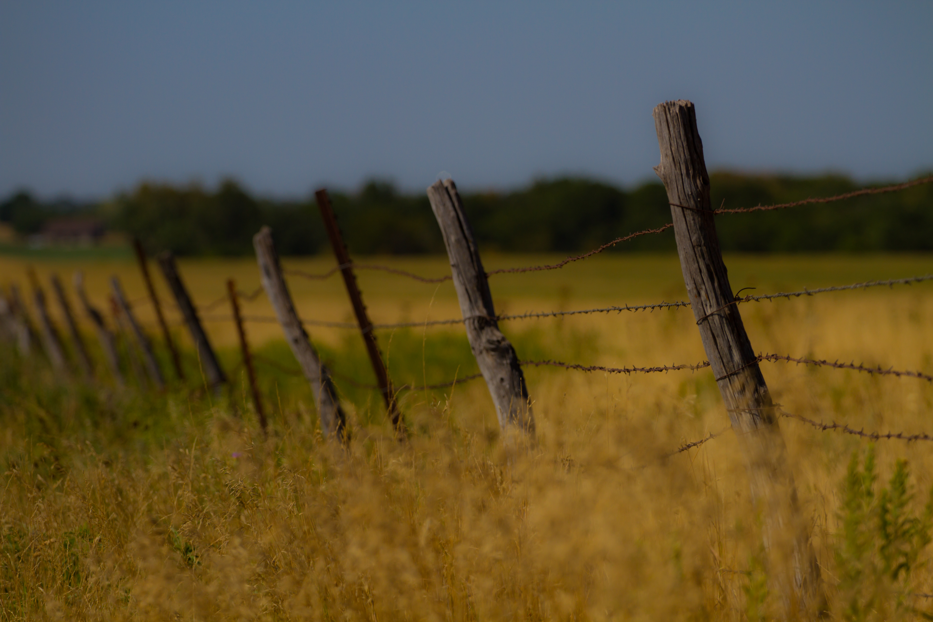
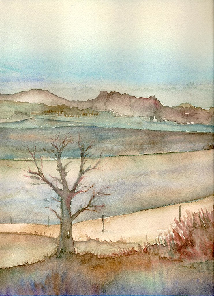
Growing Wild
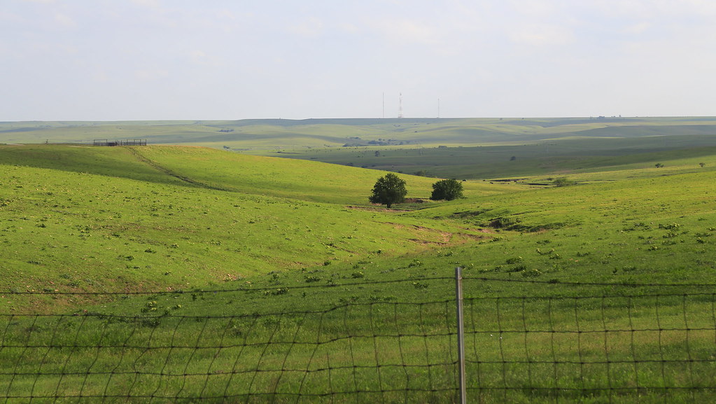
Flint Hills of Kansas @ Cattle Pens

A drive to Wichita wouldn't be complete without stopping at one of the most scenic places in the state.
Flint hills
Flint Hills of Kansas @ Cattle Pens

IMG_0251 adj 3 16x9

IMG_0251 adj 2 16x9
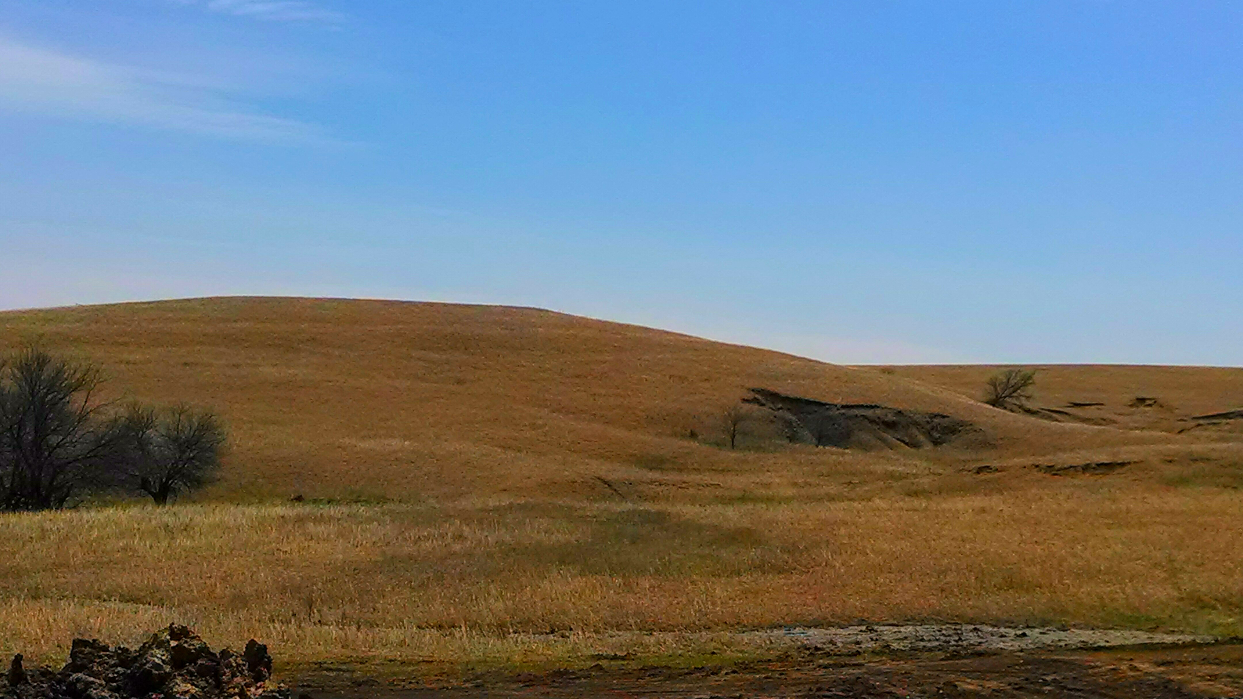
Late Summer in the Flint Hills
Kansas Highway 99 to Emporia
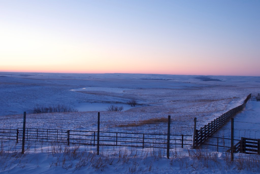
Daybreak at the cattle pens
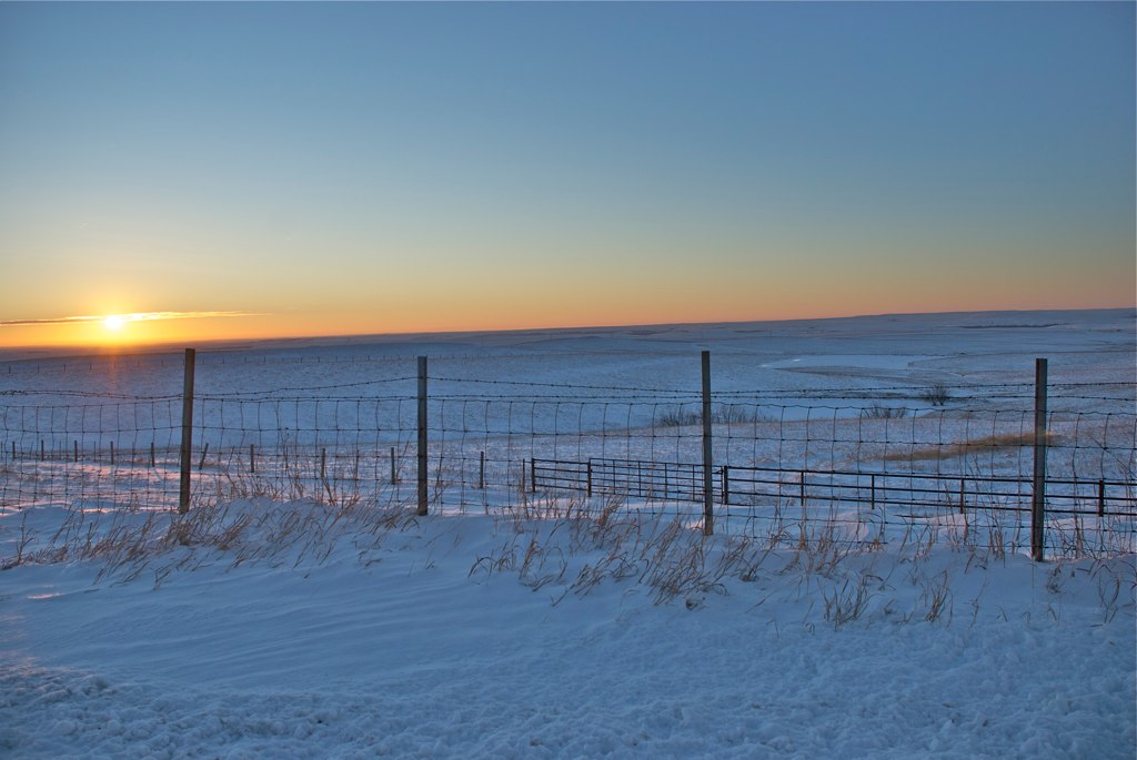
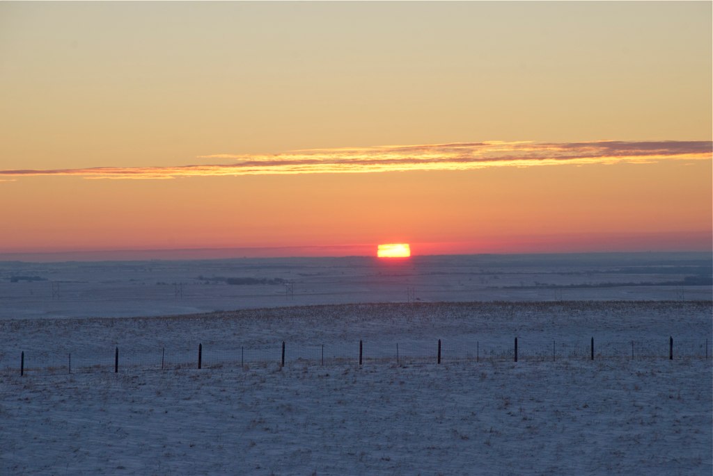
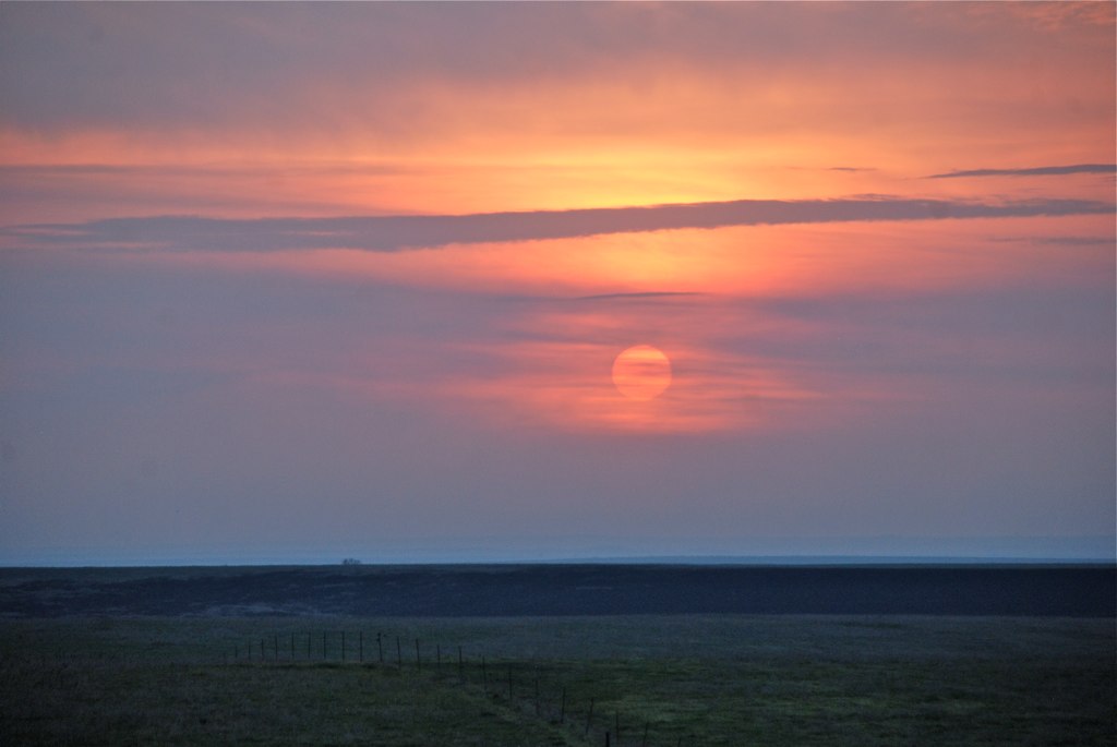
Sunrise in the Flint Hills
Kansas Landscape
Sunrise at Zoom

nothing, kansas

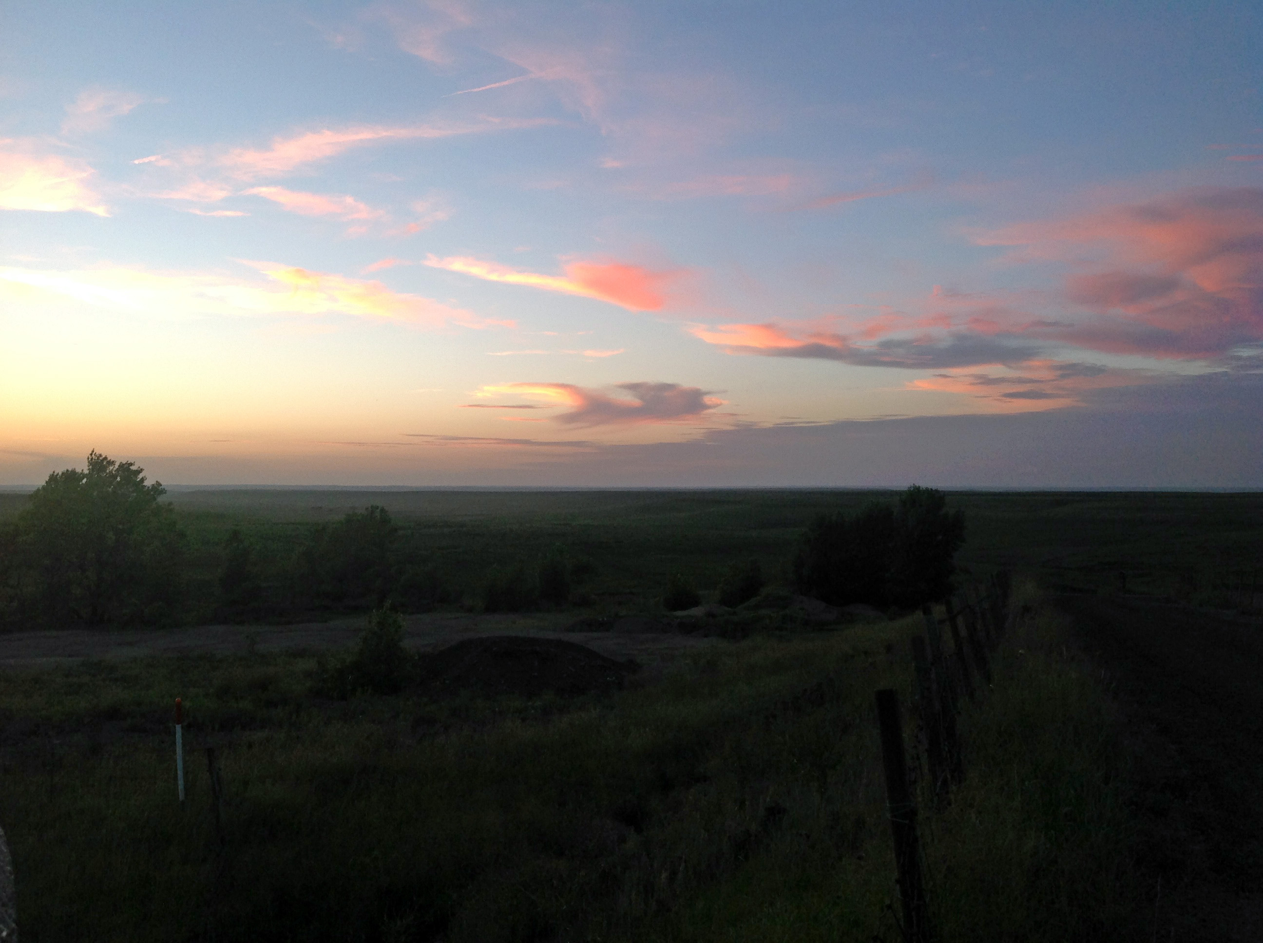
Dusk Over I-35
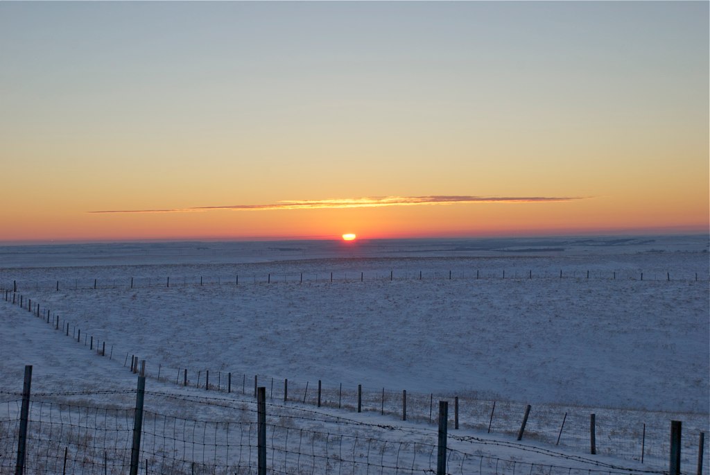
Sunrise at 7:19 AM
working in Lyon county.
Late Fall at Cattle Pen overlook
IMG_0252 adj
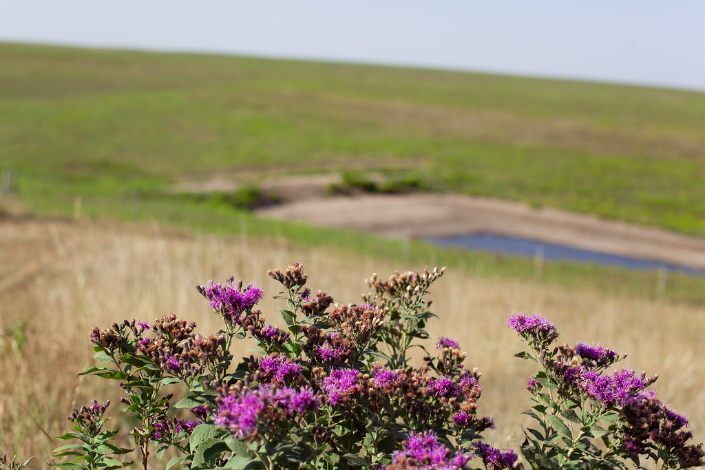
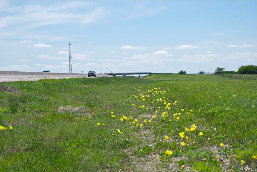
Flower at Cattle Pen 2
Days End by The Keeper of Lights
Topographic Map of Center, KS, USA
Find elevation by address:

Places in Center, KS, USA:
Places near Center, KS, USA:
Olpe
9 W Attendorn St, Olpe, KS, USA
U Road
Pike
Leiser Construction. Llc
7th Avenue Storage
Flint Hills Lanes
1129 Janice St
120 Commercial St
Emporia
Jimmy John's
Madison
Tortas El Toro
Red Rocks State Historic Site
Rd B2, Emporia, KS, USA
Carter St, Emporia, KS, USA
Lyon County
2055 Rd M
3054 W Rd
Locust St, Americus, KS, USA
Recent Searches:
- Elevation of Congressional Dr, Stevensville, MD, USA
- Elevation of Bellview Rd, McLean, VA, USA
- Elevation of Stage Island Rd, Chatham, MA, USA
- Elevation of Shibuya Scramble Crossing, 21 Udagawacho, Shibuya City, Tokyo -, Japan
- Elevation of Jadagoniai, Kaunas District Municipality, Lithuania
- Elevation of Pagonija rock, Kranto 7-oji g. 8"N, Kaunas, Lithuania
- Elevation of Co Rd 87, Jamestown, CO, USA
- Elevation of Tenjo, Cundinamarca, Colombia
- Elevation of Côte-des-Neiges, Montreal, QC H4A 3J6, Canada
- Elevation of Bobcat Dr, Helena, MT, USA