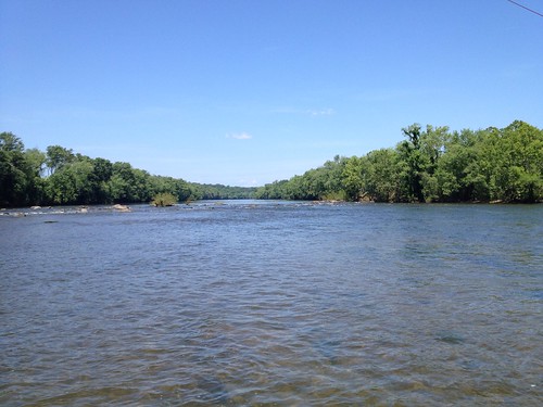
Elevation of James River Rd, Howardsville, VA, USA

Location: United States > Virginia > Albemarle County > Scottsville > Howardsville >

Longitude: -78.622551

Latitude: 37.756633

Elevation: 120m / 394feet

Barometric Pressure: 100KPa

Elevation Map:

elevation map of James River Rd, Howardsville, VA, USA

Satellite Map:

Satellite map of James River Rd, Howardsville, VA, USA

Related Photos:

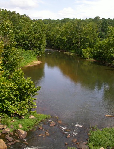
colour nature beauty digital landscape virginia paradise schuyler johnprine konicaminoltadimagez6 rockfishriver nelsoncounty filmtocome digitalstoday
Rockfish River - Schuyler, Virginia
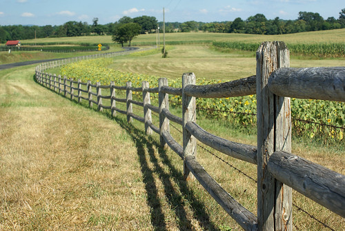
pie geotagged day favorites sv08 piedayfavorites geo:lat=377851583333309 geo:lon=785726874999963 openspacefarm
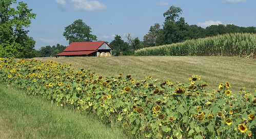
Sunflowers on 626
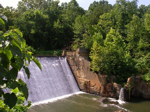
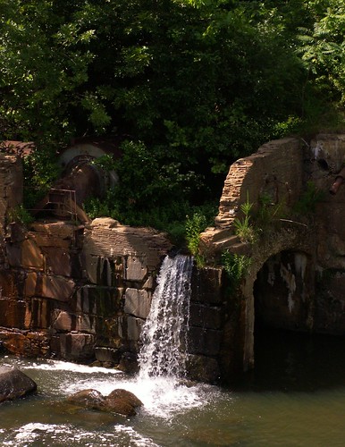
colour abandoned water beauty digital landscape virginia paradise dam decay schuyler johnprine konicaminoltadimagez6 rockfishriver nelsoncounty
Dam - Schuyler, Virginia
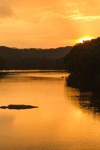
virginia unitedstates wingina
Sundown at Wingina
pie geotagged day favorites sv08 piedayfavorites geo:lat=377872133333315 geo:lon=785766874999795 openspacefarm
Sunflowers & Barn
geotagged geo:lat=377331772058832 geo:lon=786453031862764
Baber's Landing
va yogavillebuckingham
Buckingham, VA 028
geotagged geo:lat=377351329787231 geo:lon=786497326241129
George Lodge 32, Howardsville
family reunion virginia uploaded:by=flickrmobile flickriosapp:filter=nofilter
View from Farrar Bridge Road
geotagged geo:lat=377353403669725 geo:lon=786460998470947
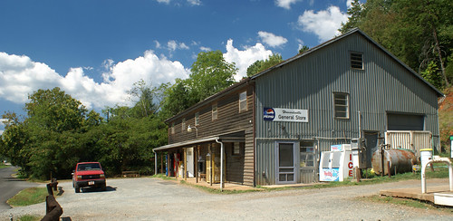
Howardsville General Store
jamesriver beerble
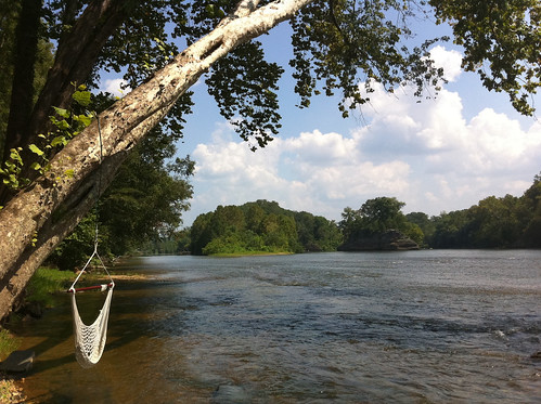
The view from the campsite
geotagged geo:lat=37735269938838 geo:lon=786462205810397
Howardsville Tracks
geotagged geo:lat=377852439024409 geo:lon=78584258536582
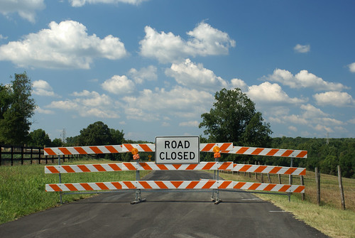
Route 626 Detour
trees hot green nature water leaves creek river landscape virginia scenery view sandbar peaceful foliage frame vegetation warren trunks slant tranquil muggy placid confluence shrubbery humid jamesriver lean almostsummer boles tributary albemarlecounty ballengercreek warrenferryroad
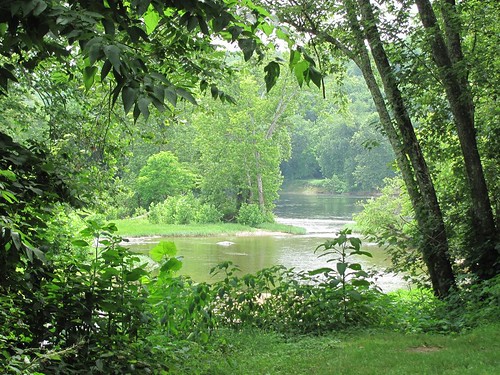
Where Ballenger Creek Meets the James River
2010 yancey spring2010 dsbk
Fisheye Classroom
ashram
View.
virginia postoffice schuyler rockfish 9920rockfishriverrd
IMG_3695.CR2
virginia jamesriver scottsville albemarlecounty buckinghamcounty
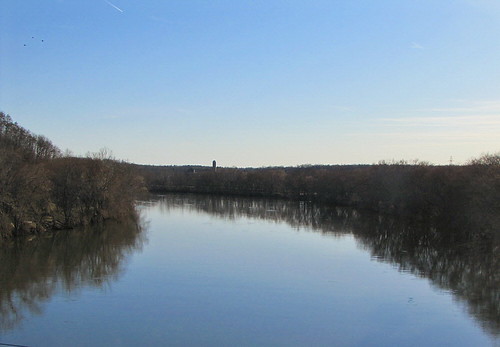
Calm Day on the James
geotagged geo:lat=378072500383318 geo:lon=784988768935909
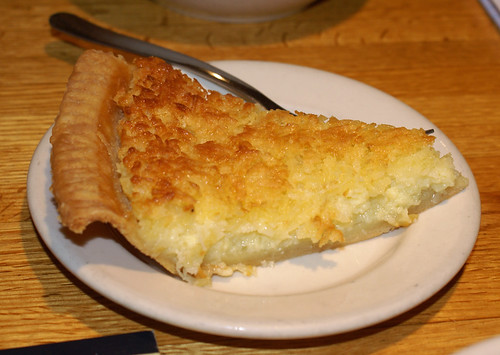
Coconut Custard
pie geotagged day favorites piedayfavorites geo:lat=378072736583871 geo:lon=784988587243176
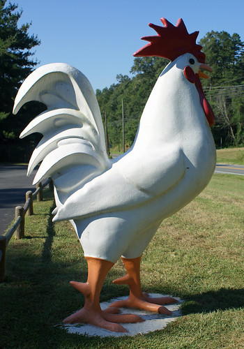
Lumpkin's Chicken
geotagged geo:lat=377975475915221 geo:lon=784940241811178
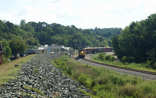
Scottsville Levee
square squareformat mayfair iphoneography instagramapp uploaded:by=instagram foursquare:venue=4fc0212ce4b014a2d62ff4d1
#AvonHill #Howardsville #AppalachianTrail #RockFish #Valley #Landscape #Thursday #Hike #Travel #Explore #Adventure #Instatravel
2013-10-06 13.36.15
colour abandoned water beauty digital landscape virginia dam decay schuyler konicaminoltadimagez6 rockfishriver nelsoncounty
Abandoned - Schuyler, Virginia
art church landscape virginia us unitedstates fineart fine va schuyler
Waltons Mountain Church
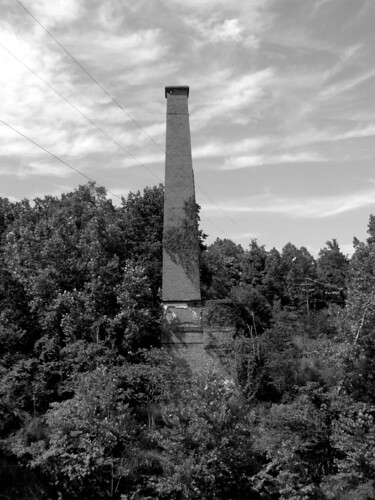
bw abandoned film landscape virginia blackwhite kodak ruin bn d76 smokestack vintagecamera 4x5 delta100 ilford largeformat graflex speedgraphic selfdeveloped ektarf47127mmlens thelastoftheschylurseries schuylernelsoncounty
Smokestack - Schuyler, Virginia
countryroads centralvirginia albemarlecountyva esmontva
Flood Plain
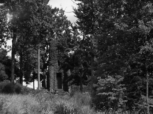
trees bw tower film church landscape virginia blackwhite kodak bn d76 vintagecamera 4x5 delta100 schuyler ilford largeformat graflex speedgraphic selfdeveloped farfromperfect nelsoncounty ektarf47127mmlens
Church Tower - Schuyler, Virginia
square lofi squareformat iphoneography instagramapp uploaded:by=instagram foursquare:venue=4fc0212ce4b014a2d62ff4d1
#FamilyTies #Virginia #Happy #GoodTimes #Instafamily #Saturday #May #2014 #FamilyPicture #Appalachian #Mountains
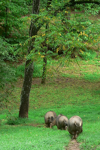
three orderly pigs
countryroads centralvirginia albemarlecountyva esmontva
Mill Race
uploaded:by=flickrmobile flickriosapp:filter=nofilter
Cicada Ride...or Hatton Ferry & Yogaville or Bust