Elevation map of Jalpaiguri Division, West Bengal, India
Location: India > West Bengal >
Longitude: 89.2467191
Latitude: 26.6061824
Elevation: 100m / 328feet
Barometric Pressure: 100KPa
Elevation Map:
Satellite Map:
Related Photos:

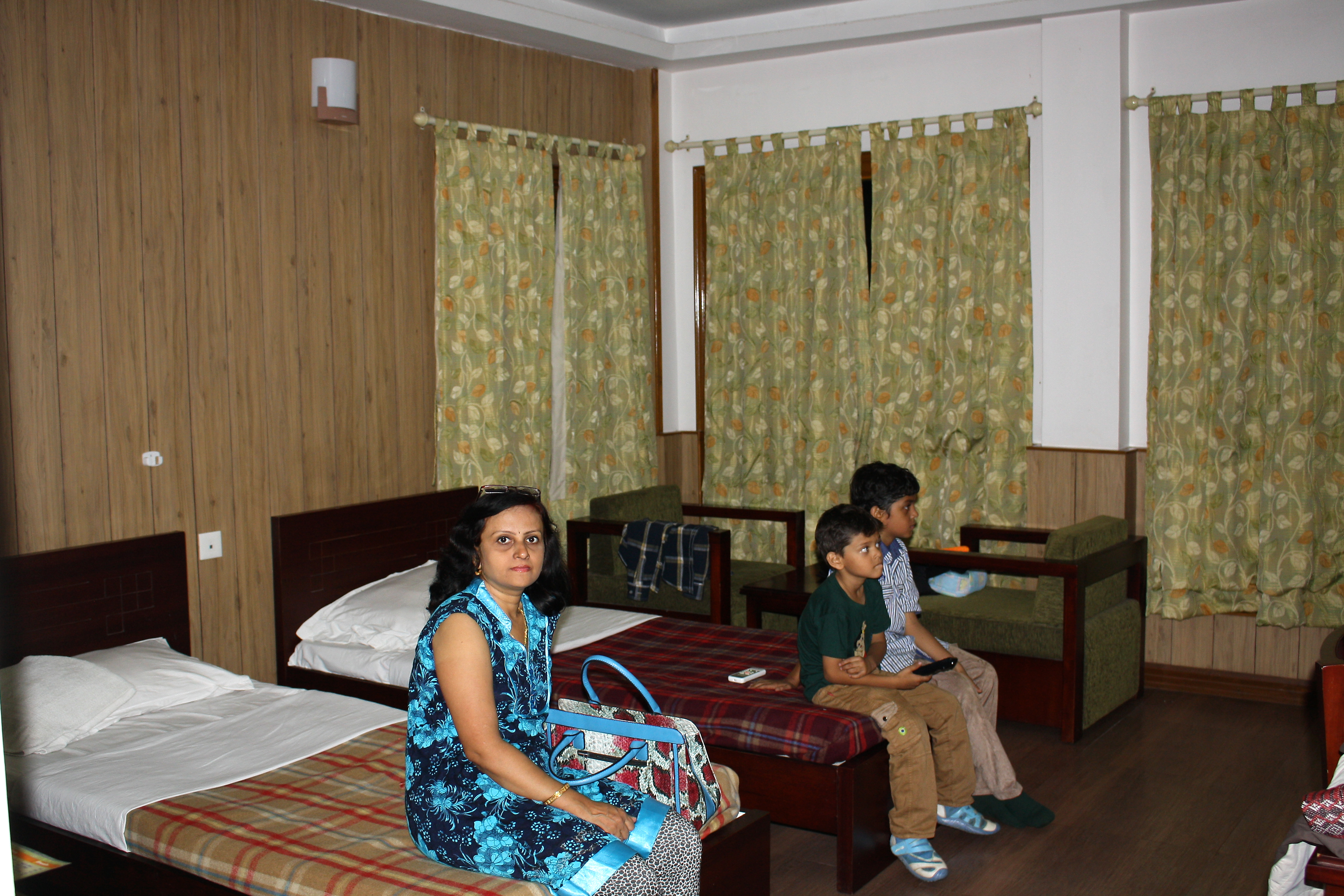
Hollong lodge room view

Flow of water, flow of life

Rhino at Hollong tourist lodge, Jaldapara

ספטמבר 9 - 16·30 - Rickshawrun4 152

ספטמבר 9 - 15·30 - Rickshawrun4 148

Cycling Bengal to Dhupguri

Siliguri Cooch Behar

Hollong river

A man cannot be comfortable without his own approval. #man #style #menstyle #instagood #tee #fashion #shades #goggles
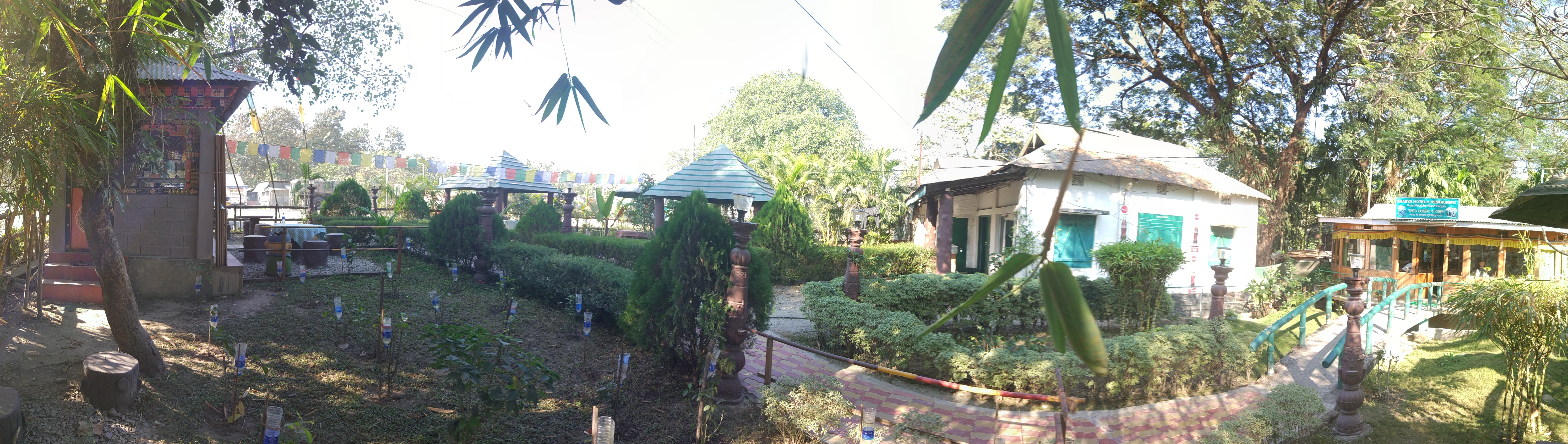
PANO_20171221_134726.jpg

#KeepChilling

Jaldapara tourist lodge
Cottage at Jaldapara tourist lodge

End of Jeep safari at Jaldapara

A Rhino visits the Hollong tourist lodge

Lone worker

Cycling Bengal to Dhupguri

Cycling Bengal to Dhupguri

Cycling Bengal to Dhupguri

Cycling Bengal to Dhupguri

Cycling Bengal to Dhupguri

Cycling Bengal to Dhupguri

Cycling Bengal to Dhupguri

Cycling Bengal to Dhupguri
Topographic Map of Jalpaiguri Division, West Bengal, India
Find elevation by address:

Places in Jalpaiguri Division, West Bengal, India:
Places near Jalpaiguri Division, West Bengal, India:
Dakshin Madarihat
The Mystic Forest - A Tea Garden Resort
Madhya Madarihat
Dalgaon
Cooch Behar Tea Garden Factory
Bara Saulmari
Dalgaon Tea Garden
Gopalpur Tea Garden
Dalgaon Forest
Birpara Tea Garden
Ethelbari Tea Garden
Alipurduar
Madhu Tea Garden
Nimtijhora Tea Garden
Paitkapara Tea Garden
Bhatkhawa Tea Garden
Gairkata
Atiabari Tea Garden
Purba Daukimari
Dhupguri
Recent Searches:
- Elevation of Elwyn Dr, Roanoke Rapids, NC, USA
- Elevation of Congressional Dr, Stevensville, MD, USA
- Elevation of Bellview Rd, McLean, VA, USA
- Elevation of Stage Island Rd, Chatham, MA, USA
- Elevation of Shibuya Scramble Crossing, 21 Udagawacho, Shibuya City, Tokyo -, Japan
- Elevation of Jadagoniai, Kaunas District Municipality, Lithuania
- Elevation of Pagonija rock, Kranto 7-oji g. 8"N, Kaunas, Lithuania
- Elevation of Co Rd 87, Jamestown, CO, USA
- Elevation of Tenjo, Cundinamarca, Colombia
- Elevation of Côte-des-Neiges, Montreal, QC H4A 3J6, Canada