Elevation of Jal, NM, USA
Location: United States > New Mexico > Lea County >
Longitude: -103.19351
Latitude: 32.1131814
Elevation: 936m / 3071feet
Barometric Pressure: 91KPa
Elevation Map:
Satellite Map:
Related Photos:

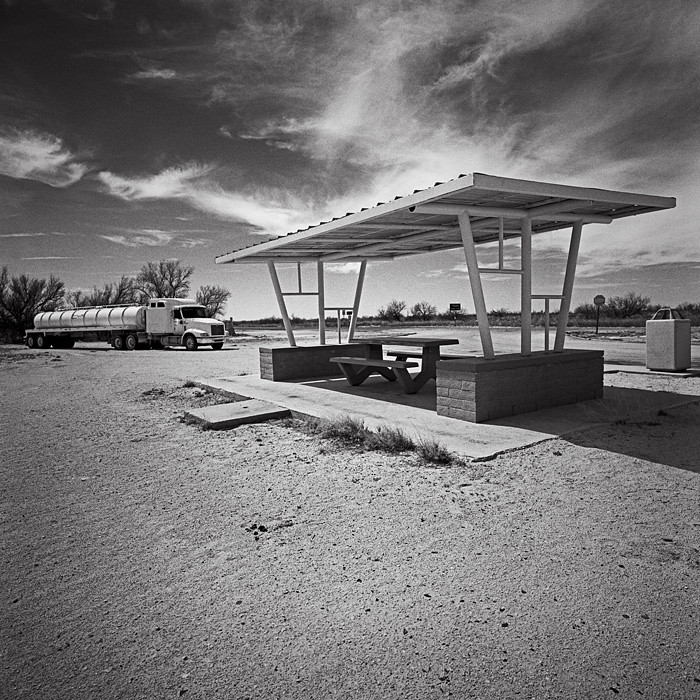
The Trail Ahead, Jal NM

Woolworth Library, Jal, NM
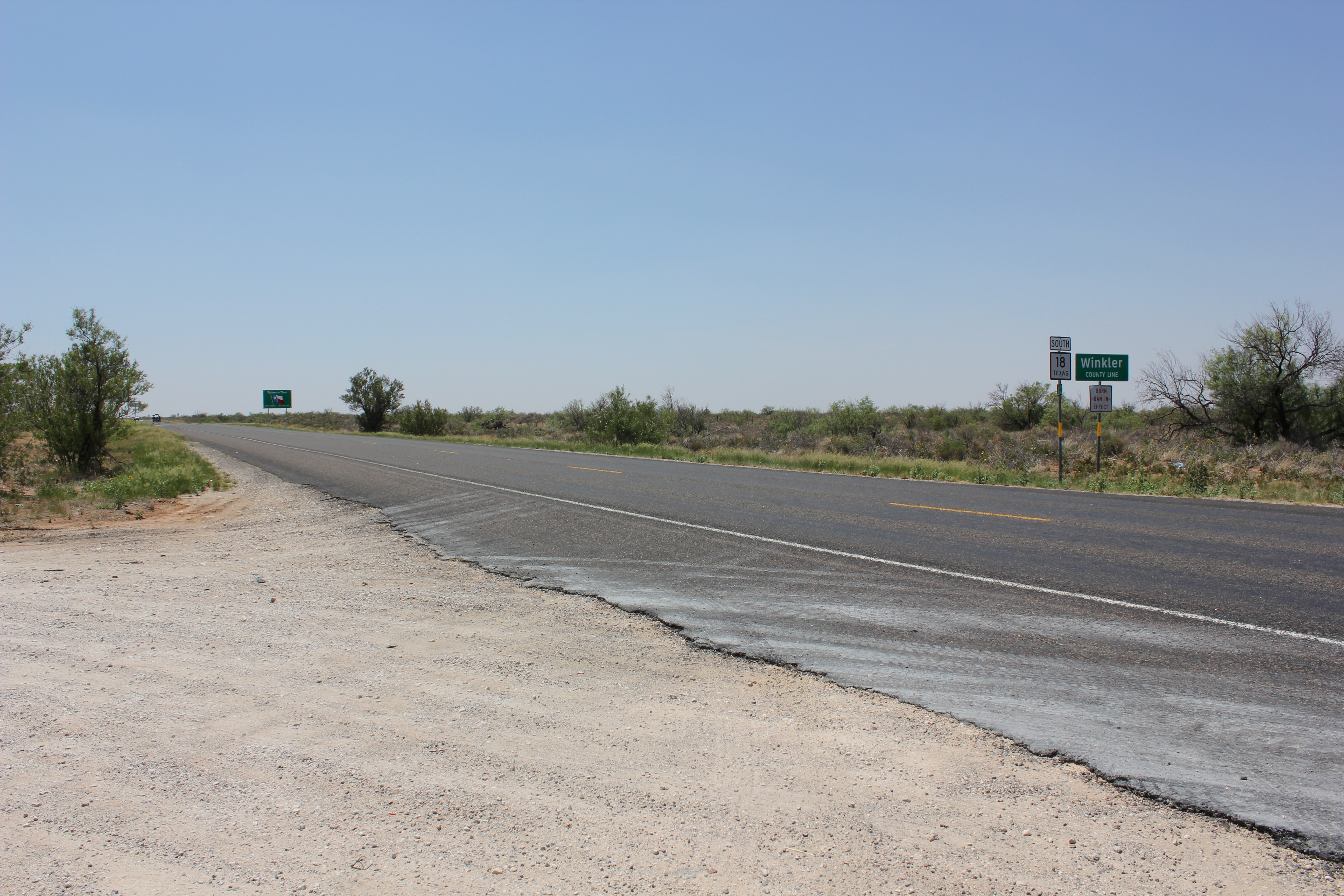
Texas State Line. New Mexico 18, Jal, NM 88252

Holland Hotel
Entering Texas
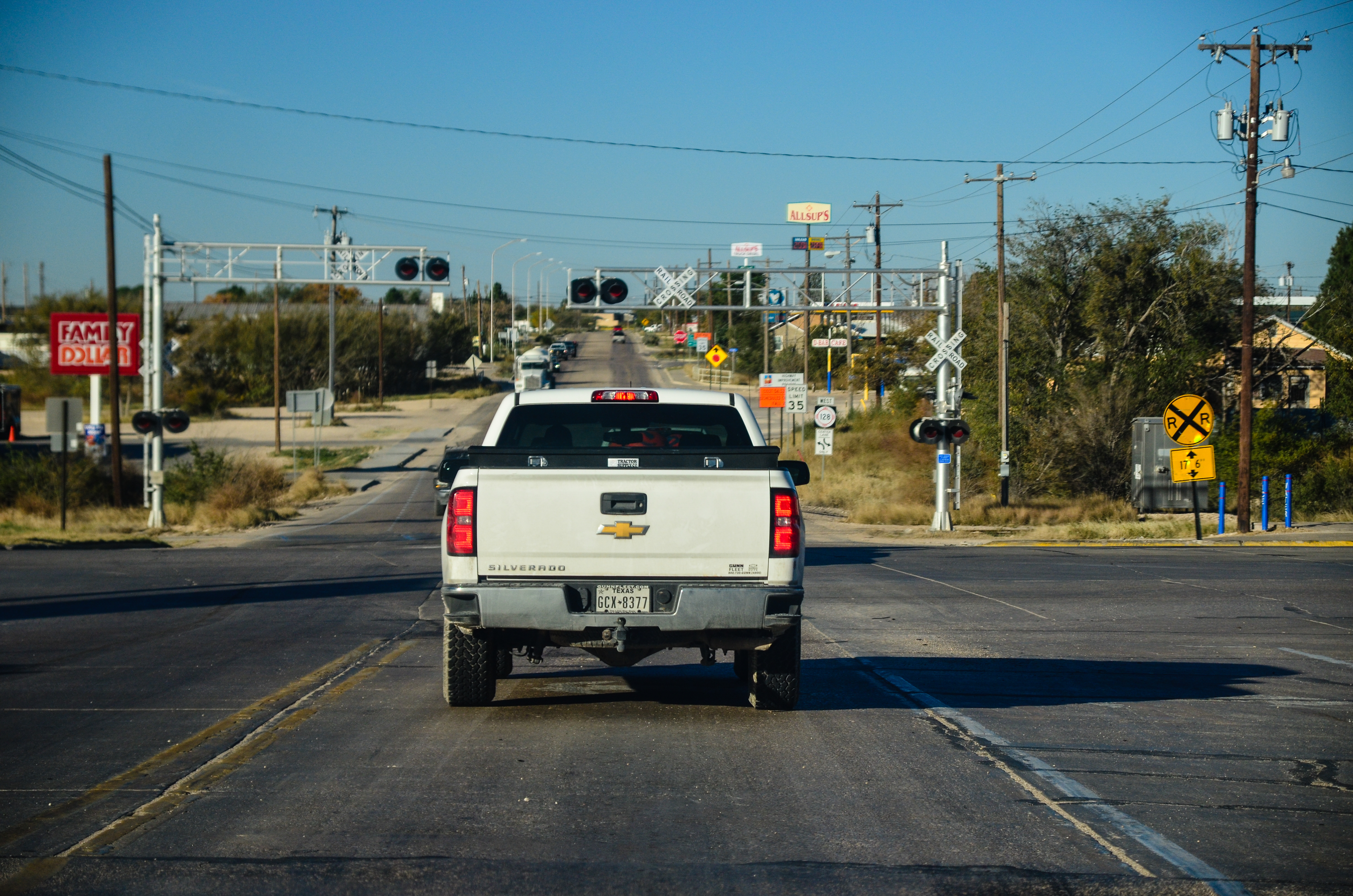
West Texas Trip, Day 4 - 14
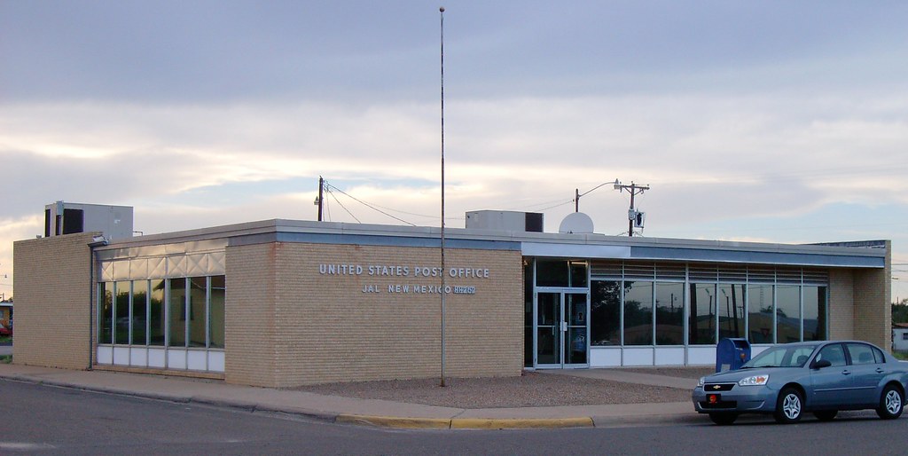
Post Office 88252 (Jal, New Mexico)
Carlsbad Caverns
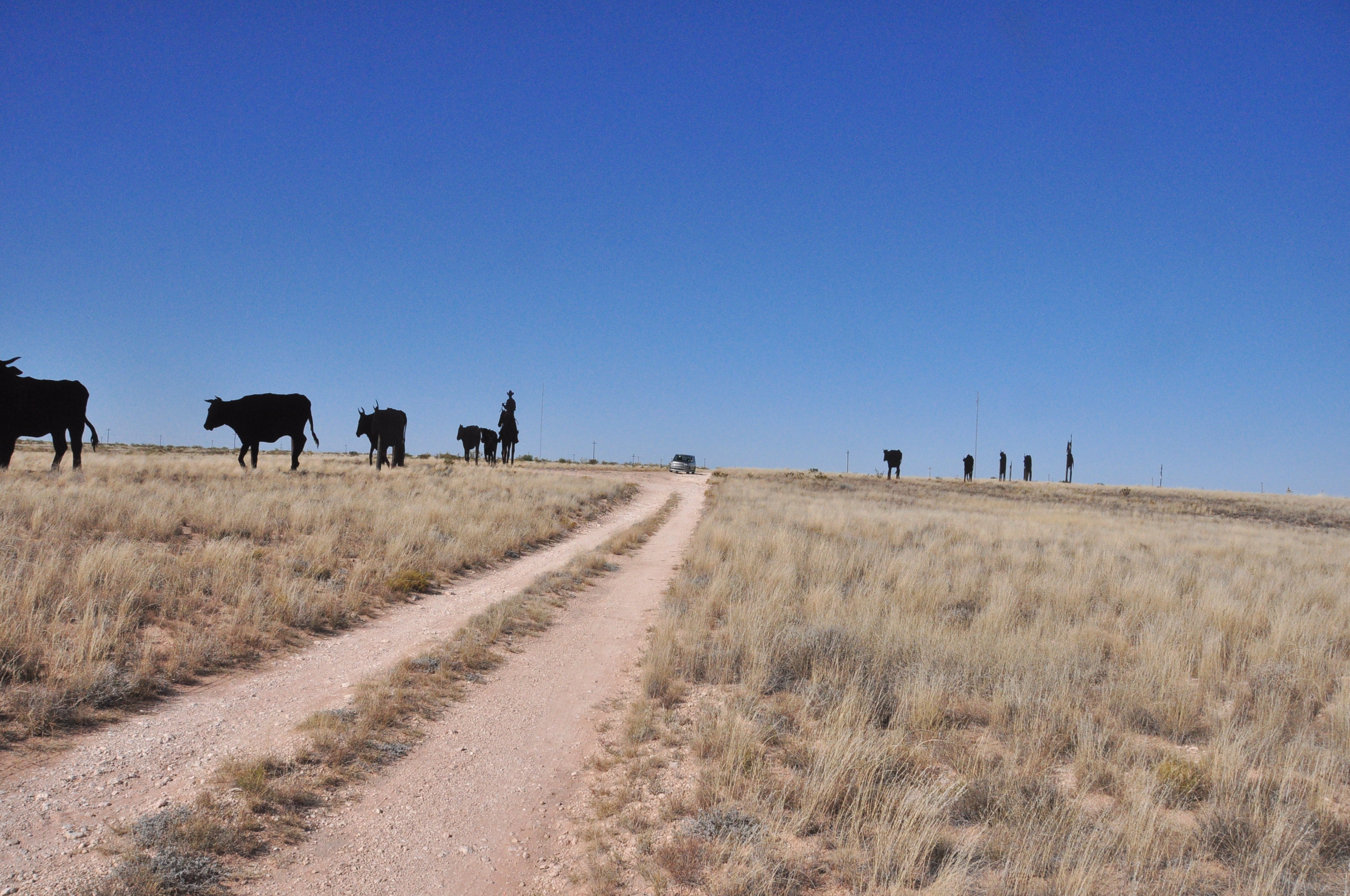
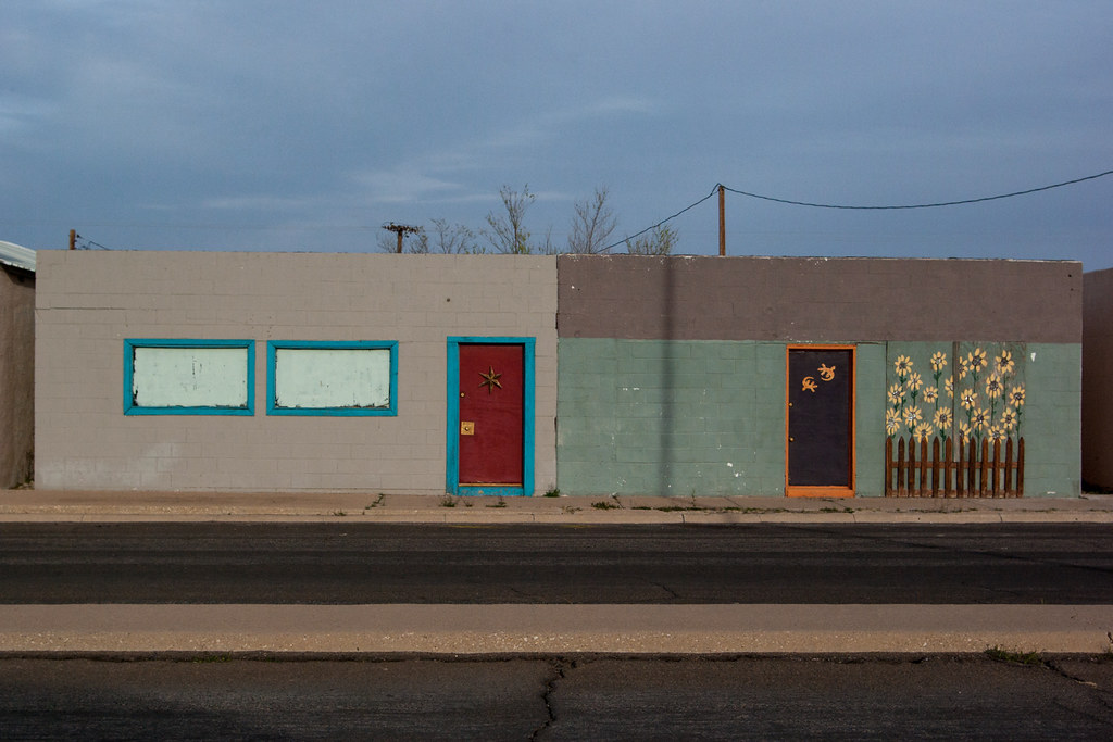
Cowboy Art (3)
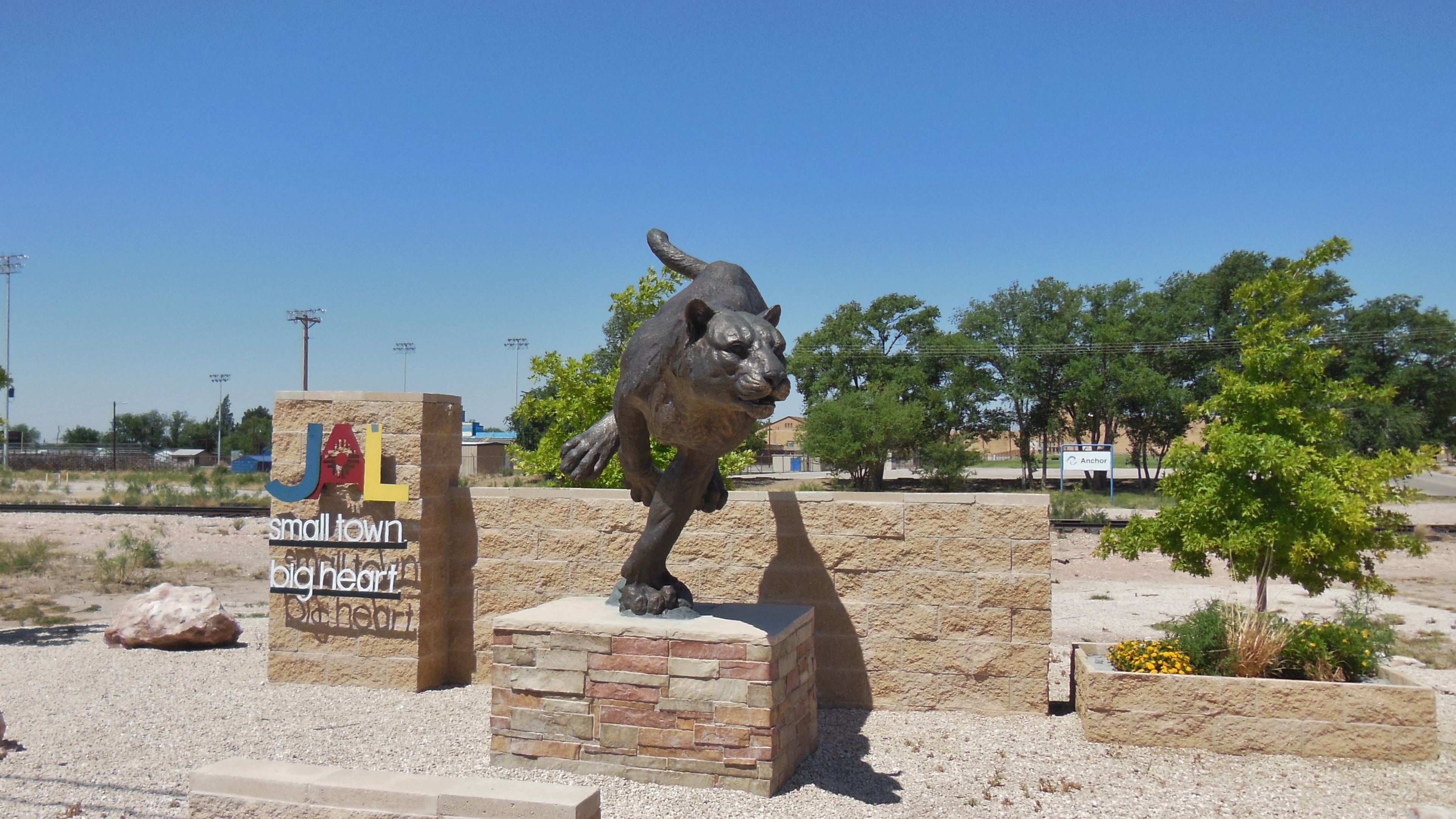
Welcome Jal New Mexico
Topographic Map of Jal, NM, USA
Find elevation by address:

Places in Jal, NM, USA:
Places near Jal, NM, USA:
East Merryman Avenue
Unnamed Road
E Austin St, Kermit, TX, USA
Kermit
Winkler County
Loving County
Ranch Road 2355
Andrews County
Bell St, Mentone, TX, USA
Mentone
Wickett
Ward County
Alpine Ave, Wickett, TX, USA
Pyote
Pyote Flats
Monahans
County Road 421
Pecos
S Cedar St, Pecos, TX, USA
Unnamed Road
Recent Searches:
- Elevation of Spaceport America, Co Rd A, Truth or Consequences, NM, USA
- Elevation of Warwick, RI, USA
- Elevation of Fern Rd, Whitmore, CA, USA
- Elevation of 62 Abbey St, Marshfield, MA, USA
- Elevation of Fernwood, Bradenton, FL, USA
- Elevation of Felindre, Swansea SA5 7LU, UK
- Elevation of Leyte Industrial Development Estate, Isabel, Leyte, Philippines
- Elevation of W Granada St, Tampa, FL, USA
- Elevation of Pykes Down, Ivybridge PL21 0BY, UK
- Elevation of Jalan Senandin, Lutong, Miri, Sarawak, Malaysia