Elevation of Andrews County, TX, USA
Location: United States > Texas >
Longitude: -102.71351
Latitude: 32.342627
Elevation: 986m / 3235feet
Barometric Pressure: 90KPa
Elevation Map:
Satellite Map:
Related Photos:
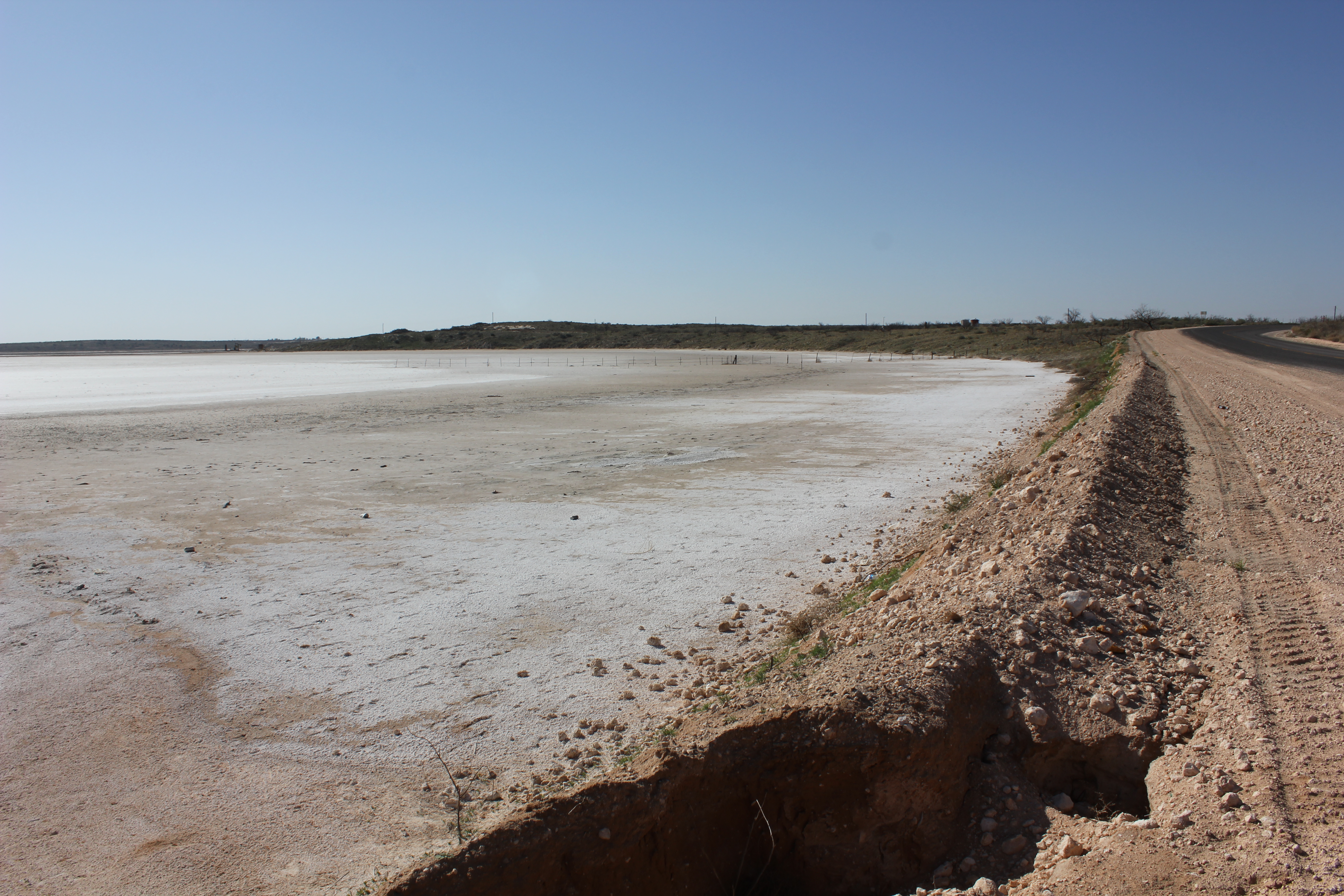
Shafter Lake, Texas
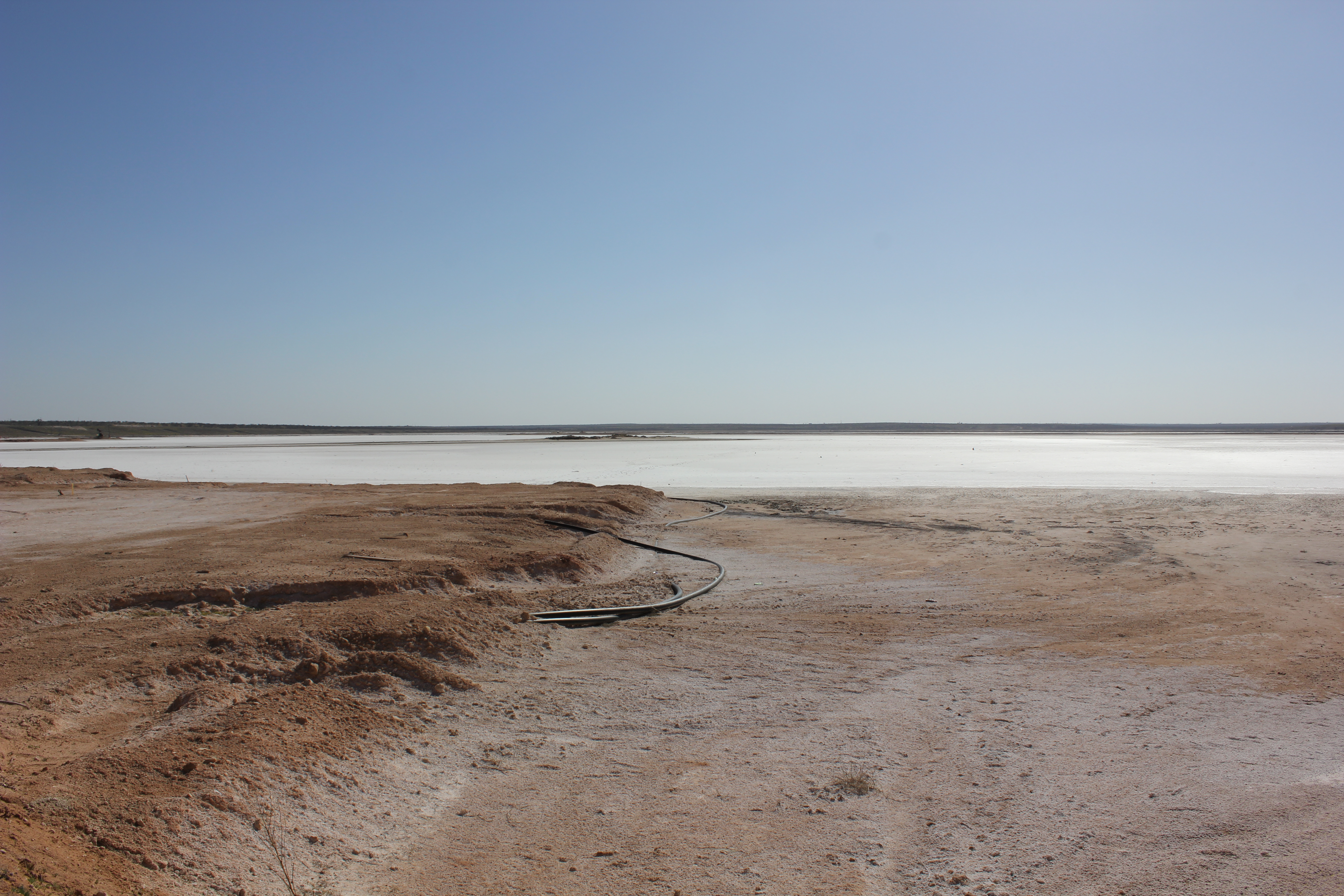
Shafter Lake, Texas
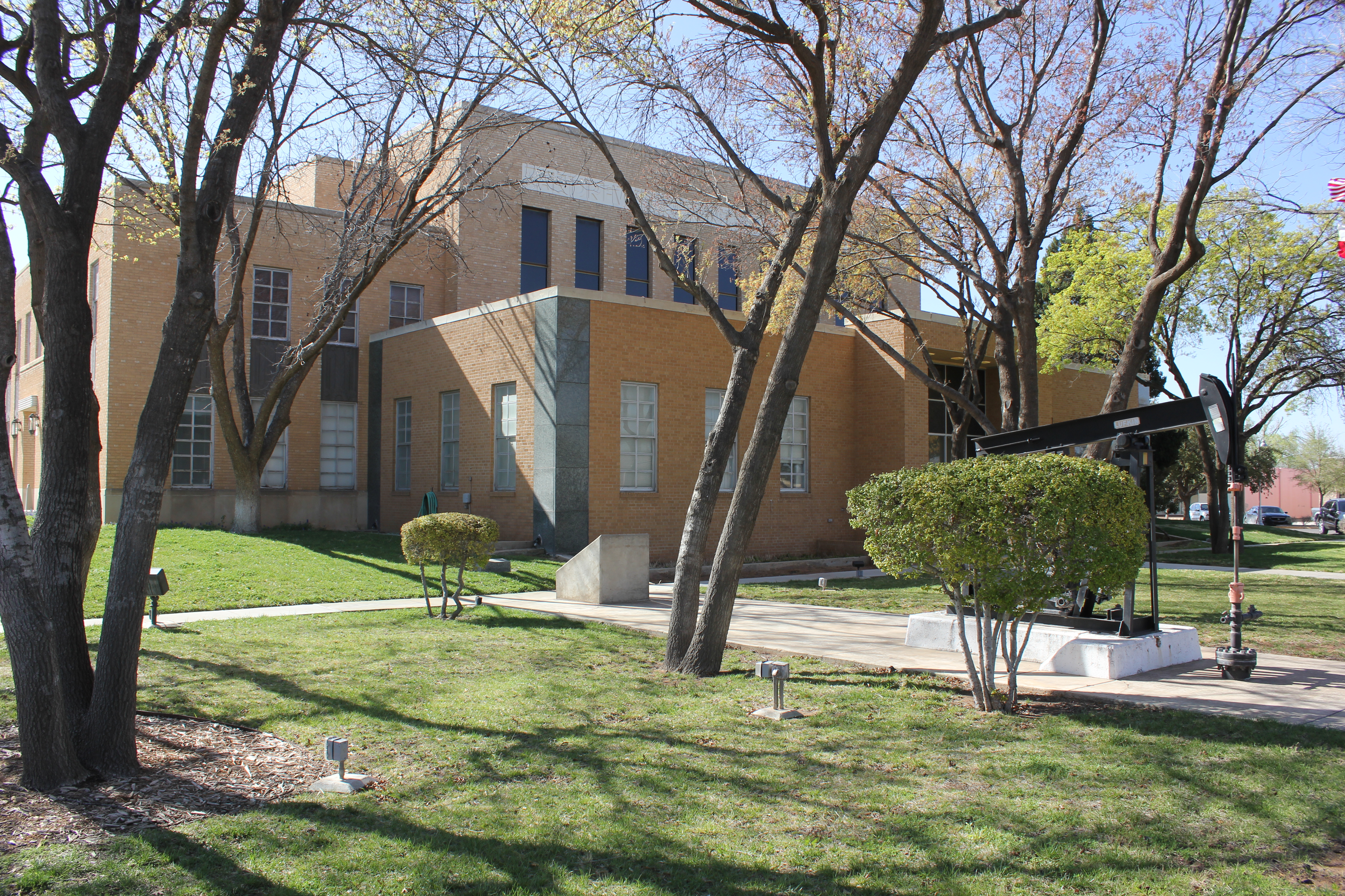
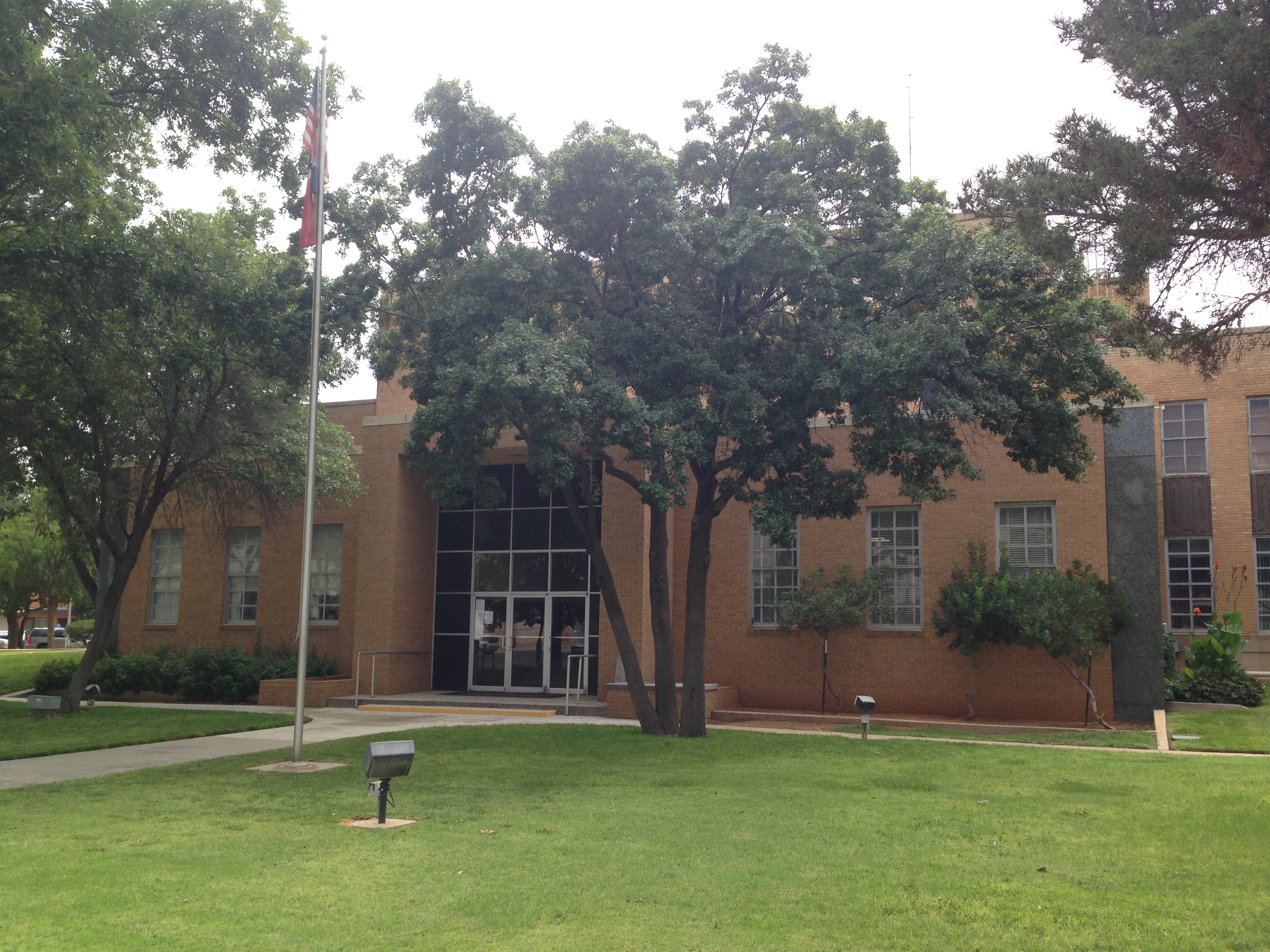
Andrews County Courthouse, Andrews, Texas

Dumas Demons Prevost H3-45 #CH-1
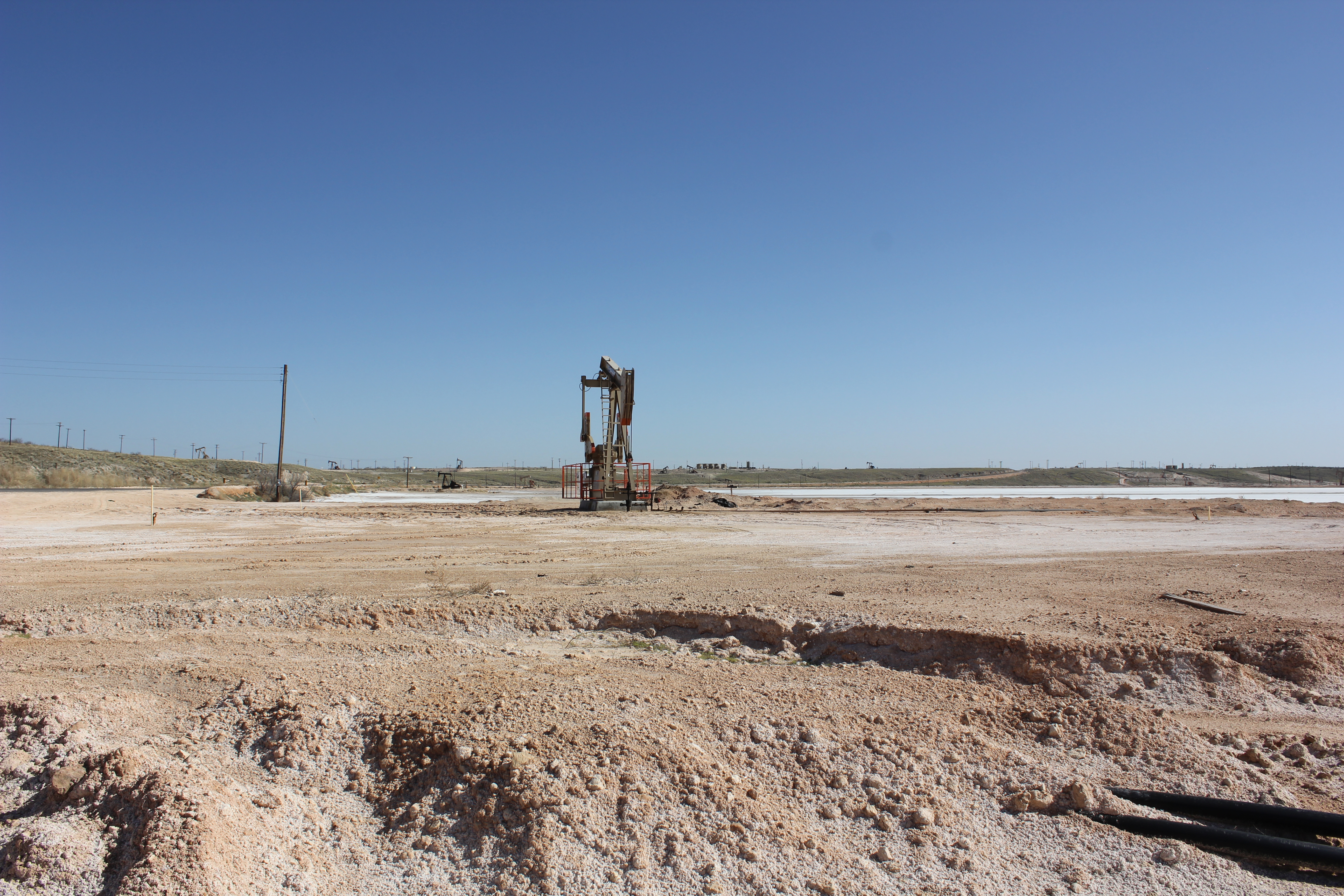
Shafter Lake, Texas

WP_20160214_007.jpg

Seminole Indians Blue Bird Micro Bird

Pecos Eagles Blue Bird All American T3RE #E4

Midland Christian School Mustangs Van Hool T835 #11
Andrews - Andrews

Lilivey Menchaca Cell phone photography
Topographic Map of Andrews County, TX, USA
Find elevation by address:

Places in Andrews County, TX, USA:
Places near Andrews County, TX, USA:
East Merryman Avenue
Jal
E Austin St, Kermit, TX, USA
Kermit
Unnamed Road
Winkler County
Monahans
Wickett
Alpine Ave, Wickett, TX, USA
Ward County
Pyote
Ranch Road 2355
Pyote Flats
D Ave, Grandfalls, TX, USA
Grandfalls
Loving County
Imperial
Bell St, Mentone, TX, USA
Mentone
Border Road
Recent Searches:
- Elevation of Rojo Ct, Atascadero, CA, USA
- Elevation of Flagstaff Drive, Flagstaff Dr, North Carolina, USA
- Elevation of Avery Ln, Lakeland, FL, USA
- Elevation of Woolwine, VA, USA
- Elevation of Lumagwas Diversified Farmers Multi-Purpose Cooperative, Lumagwas, Adtuyon, RV32+MH7, Pangantucan, Bukidnon, Philippines
- Elevation of Homestead Ridge, New Braunfels, TX, USA
- Elevation of Orchard Road, Orchard Rd, Marlborough, NY, USA
- Elevation of 12 Hutchinson Woods Dr, Fletcher, NC, USA
- Elevation of Holloway Ave, San Francisco, CA, USA
- Elevation of Norfolk, NY, USA