Elevation of Jadis Township, MN, USA
Location: United States > Minnesota > Roseau County >
Longitude: -95.796235
Latitude: 48.8756728
Elevation: 316m / 1037feet
Barometric Pressure: 98KPa
Elevation Map:
Satellite Map:
Related Photos:

"After The Sunset" Roseau, Minnesota

"After The Sunset" Minnesota

Sympetrum madidum
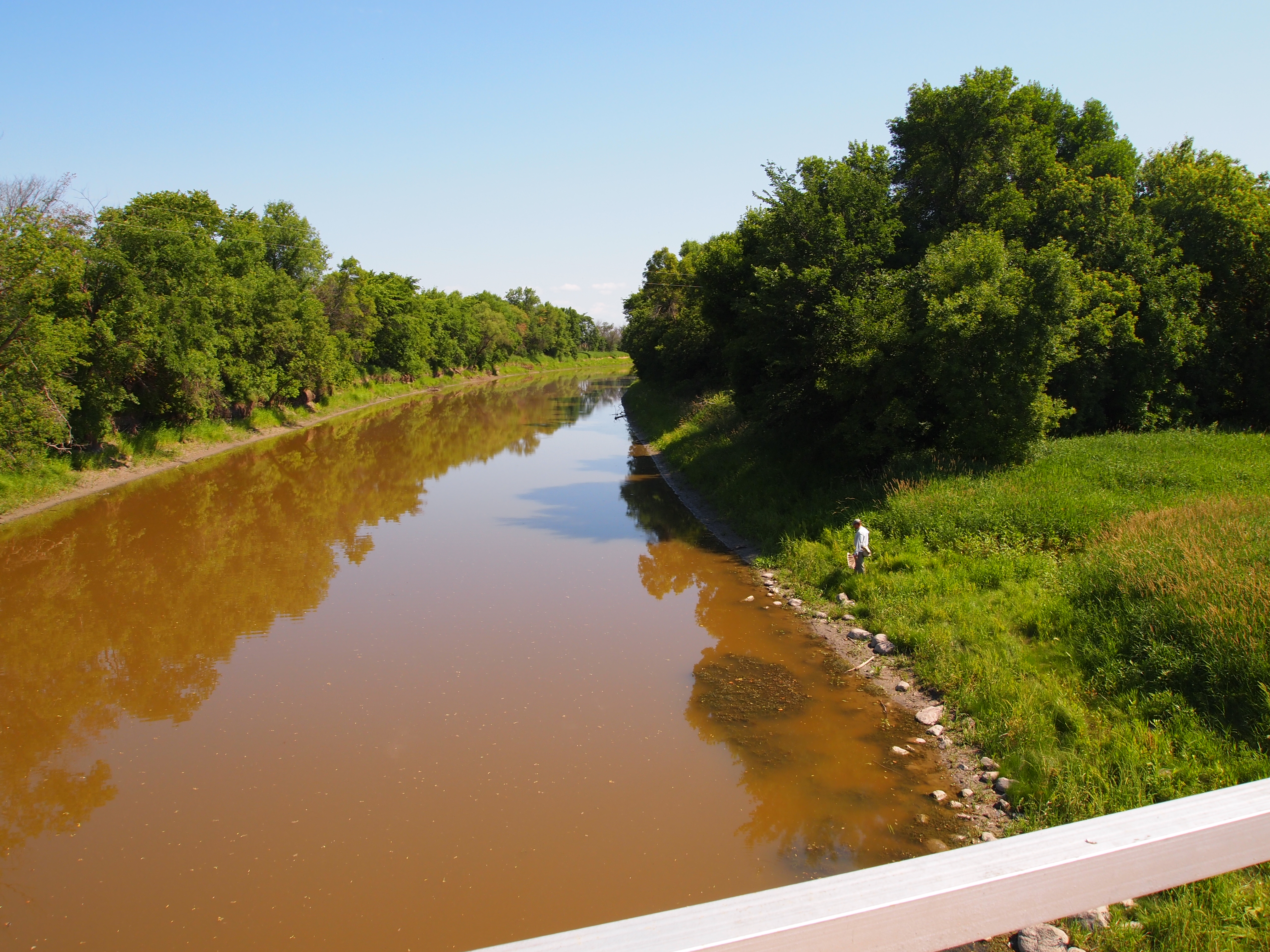
Roseau River

Sympetrum danae

A weekend at the Lake of the Woods

Sympetrum danae
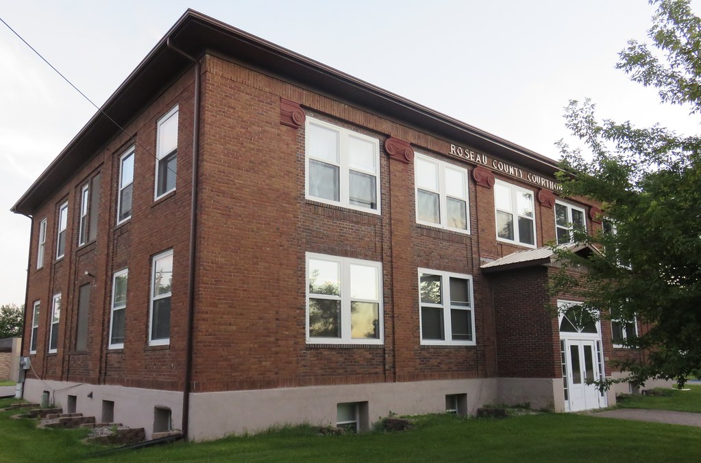
Old Roseau County Courthouse (Roseau, Minnesota)

Sympetrum madidum

Sympetrum danae
Topographic Map of Jadis Township, MN, USA
Find elevation by address:

Places near Jadis Township, MN, USA:
35613 Co Rd 16
1088 Mn-11
N Main St, Badger, MN, USA
Badger
Mickinock Township
Roseau County
Co Rd 20, Roseau, MN, USA
Main St N, Greenbush, MN, USA
Strathcona
38 Woodland Dr, Menisino, MB R0A 1A0, Canada
Hill Ave, Middle River, MN, USA
Lincoln Ave, Newfolden, MN, USA
New Maine Township
Goodridge
Goodridge Township
14548 360th St Nw
W Bakke Ave, Newfolden, MN, USA
15115 229th St Ne
Strandquist
1st Ave, Strandquist, MN, USA
Recent Searches:
- Elevation of Woodland Oak Pl, Thousand Oaks, CA, USA
- Elevation of Brownsdale Rd, Renfrew, PA, USA
- Elevation of Corcoran Ln, Suffolk, VA, USA
- Elevation of Mamala II, Sariaya, Quezon, Philippines
- Elevation of Sarangdanda, Nepal
- Elevation of 7 Waterfall Way, Tomball, TX, USA
- Elevation of SW 57th Ave, Portland, OR, USA
- Elevation of Crocker Dr, Vacaville, CA, USA
- Elevation of Pu Ngaol Community Meeting Hall, HWHM+3X7, Krong Saen Monourom, Cambodia
- Elevation of Royal Ontario Museum, Queens Park, Toronto, ON M5S 2C6, Canada