Elevation of Goodridge, MN, USA
Location: United States > Minnesota > Pennington County > Goodridge Township >
Longitude: -95.806481
Latitude: 48.1441587
Elevation: 355m / 1165feet
Barometric Pressure: 97KPa
Elevation Map:
Satellite Map:
Related Photos:

"Reiner Town Hall" Minnesota
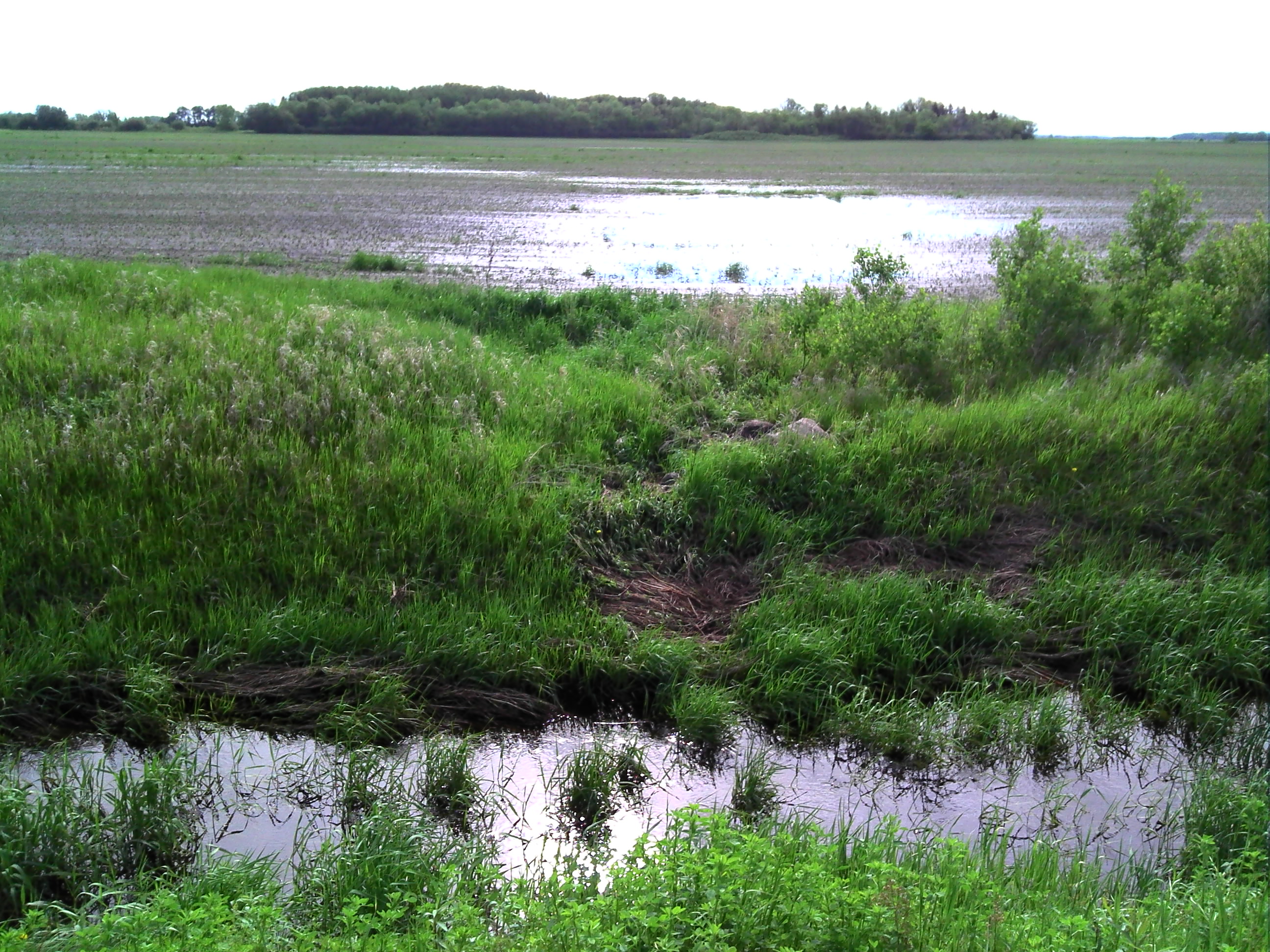
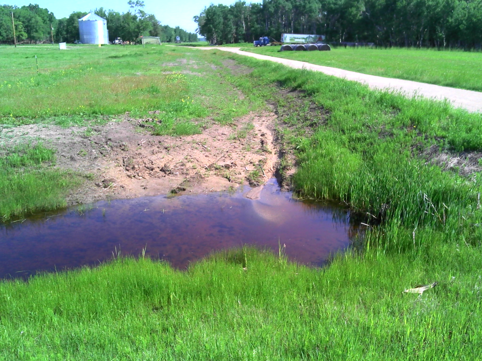
GPS pictures 994
GPS pictures 995
GPS pictures 1000

GPS pictures 1001
GPS pictures 1015
GPS pictures 993

GPS pictures 996

GPS pictures 1002
GPS pictures 1013

GPS pictures 1014

Visitor Meanwhile
Topographic Map of Goodridge, MN, USA
Find elevation by address:

Places near Goodridge, MN, USA:
Goodridge Township
Co Rd 3, Oklee, MN, USA
Co Rd 1, Oklee, MN, USA
Pennington County
Co Rd 52, Plummer, MN, USA
Emardville Township
15115 229th St Ne
Se200th Street
Evergreen St, Thief River Falls, MN, USA
Thief River Falls
201 Main Ave S
Thief River Falls, MN, USA
Minnesota Ave, Brooks, MN, USA
Brooks
Excel Township
3001 Sanford Parkway
Lincoln Ave, Newfolden, MN, USA
Red Lake County
16081 Center Ave N
Hill Ave, Middle River, MN, USA
Recent Searches:
- Elevation of Woodland Oak Pl, Thousand Oaks, CA, USA
- Elevation of Brownsdale Rd, Renfrew, PA, USA
- Elevation of Corcoran Ln, Suffolk, VA, USA
- Elevation of Mamala II, Sariaya, Quezon, Philippines
- Elevation of Sarangdanda, Nepal
- Elevation of 7 Waterfall Way, Tomball, TX, USA
- Elevation of SW 57th Ave, Portland, OR, USA
- Elevation of Crocker Dr, Vacaville, CA, USA
- Elevation of Pu Ngaol Community Meeting Hall, HWHM+3X7, Krong Saen Monourom, Cambodia
- Elevation of Royal Ontario Museum, Queens Park, Toronto, ON M5S 2C6, Canada