Elevation of Co Rd 52, Plummer, MN, USA
Location: United States > Minnesota > Red Lake County >
Longitude: -96.039774
Latitude: 47.9113661
Elevation: 344m / 1129feet
Barometric Pressure: 97KPa
Elevation Map:
Satellite Map:
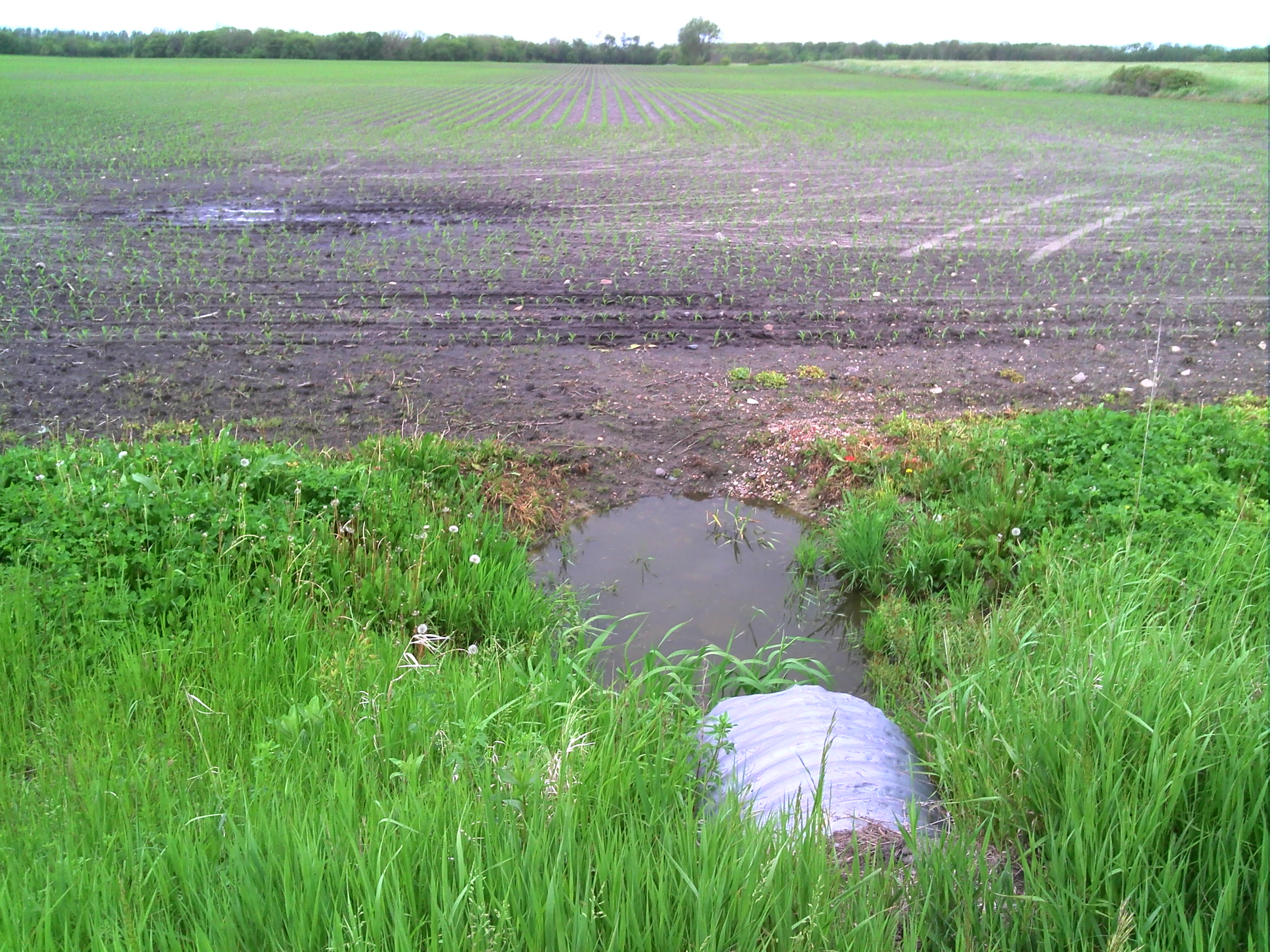
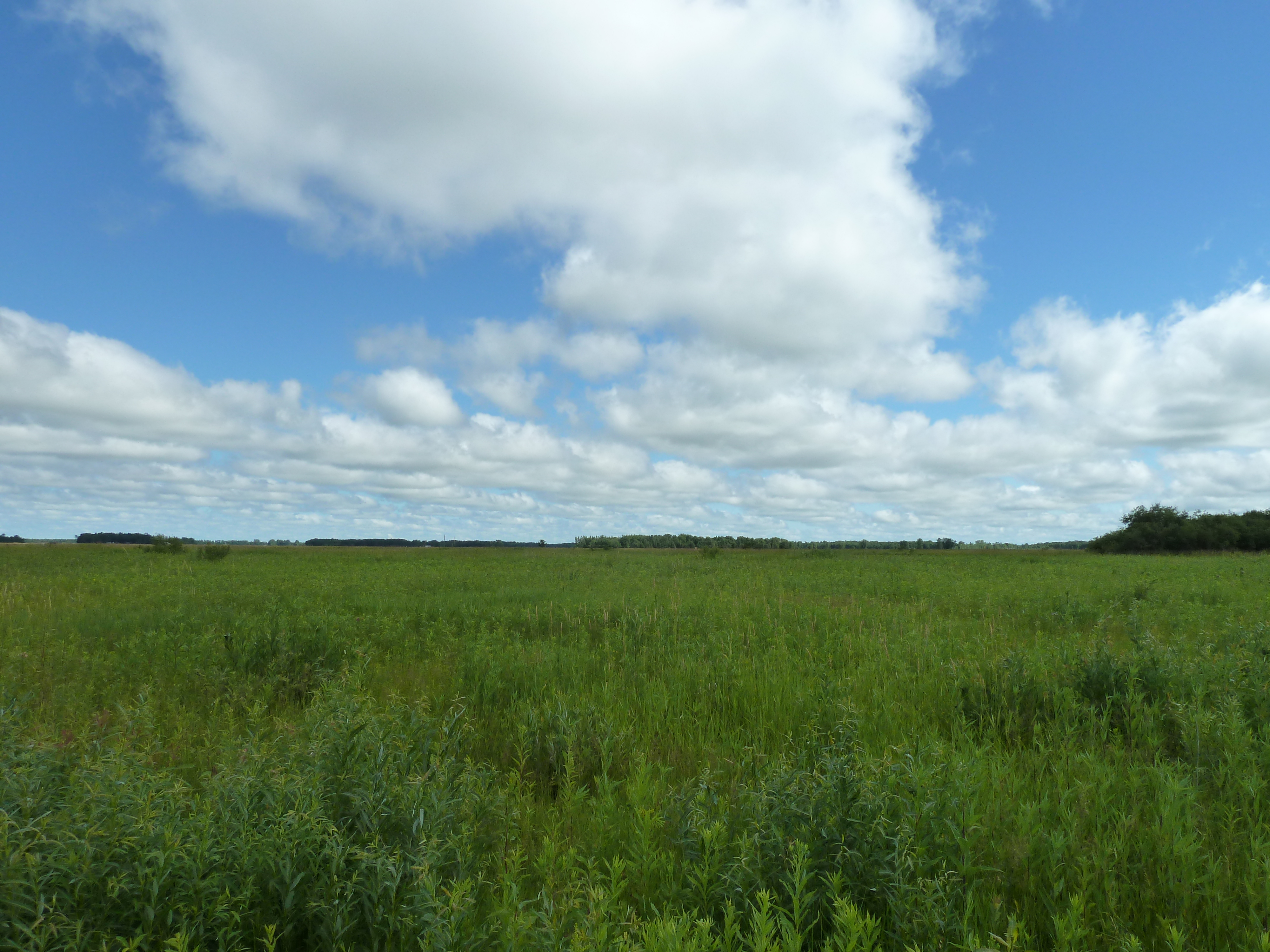
Related Photos:
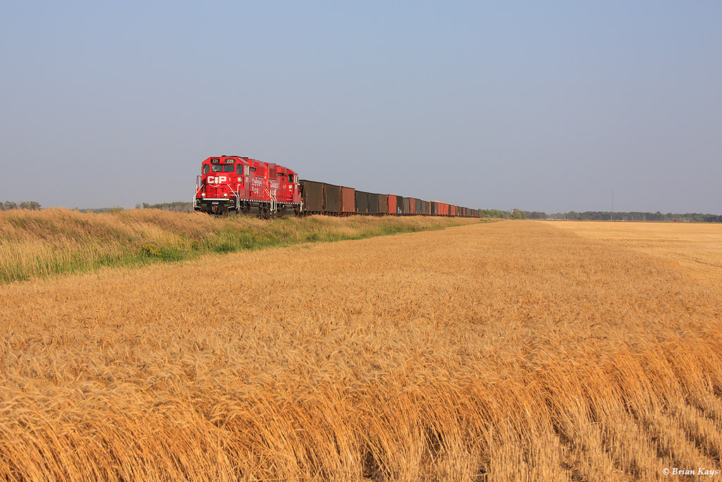
Trail Turn (H54) Among the Wheat - Oklee, MN

White-tailed deer running through grasslands
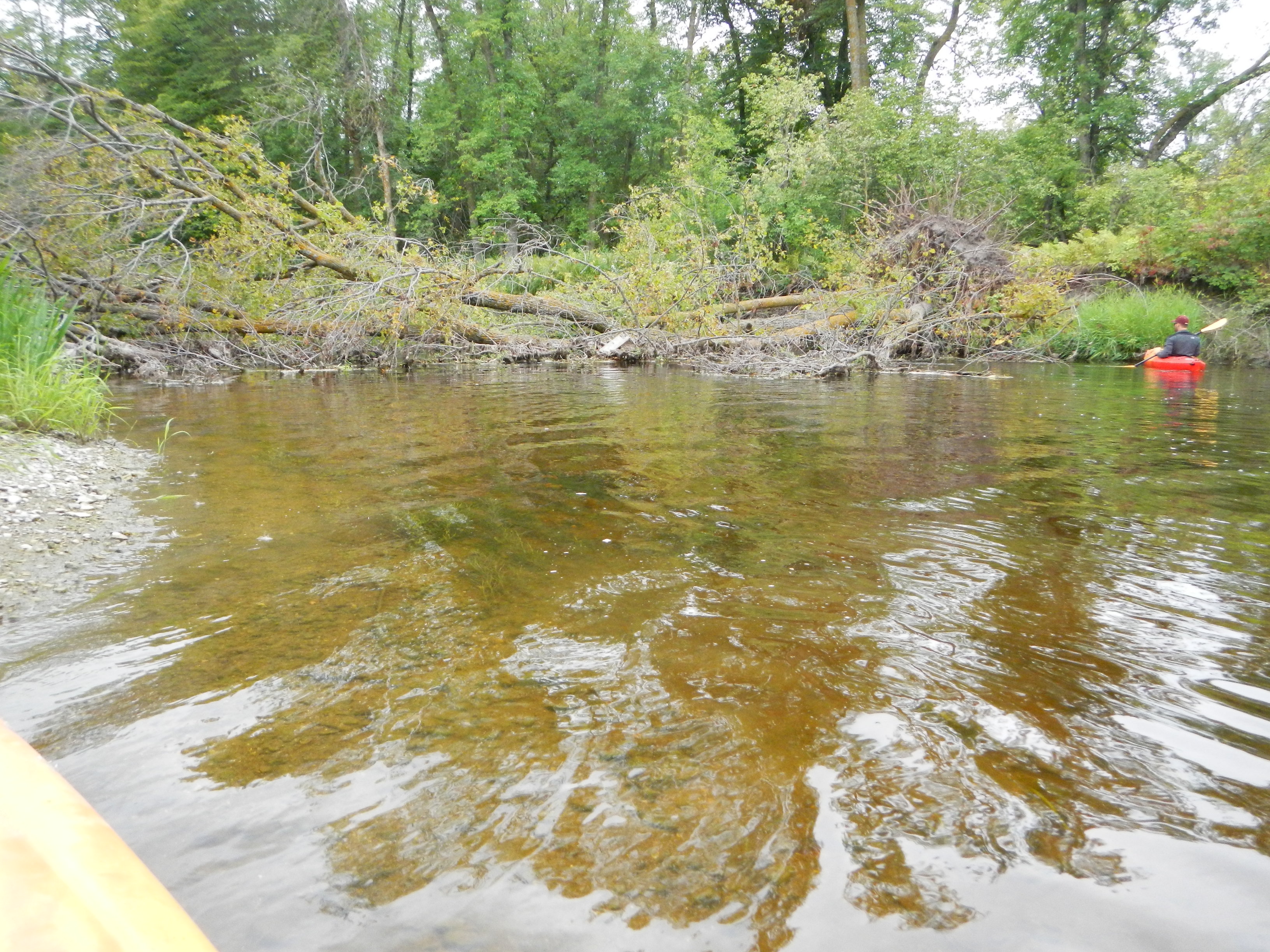
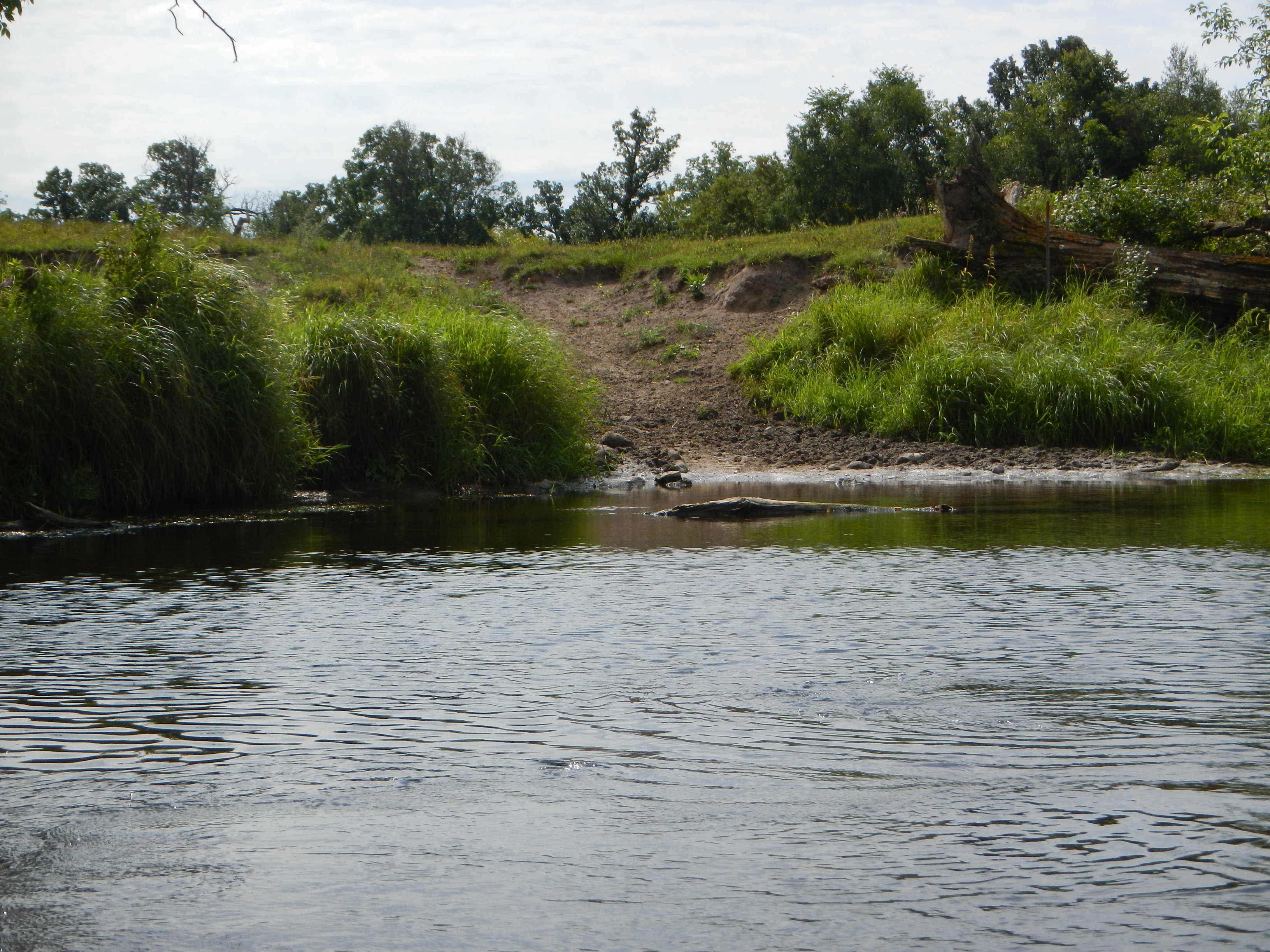
Tree Snag Across River
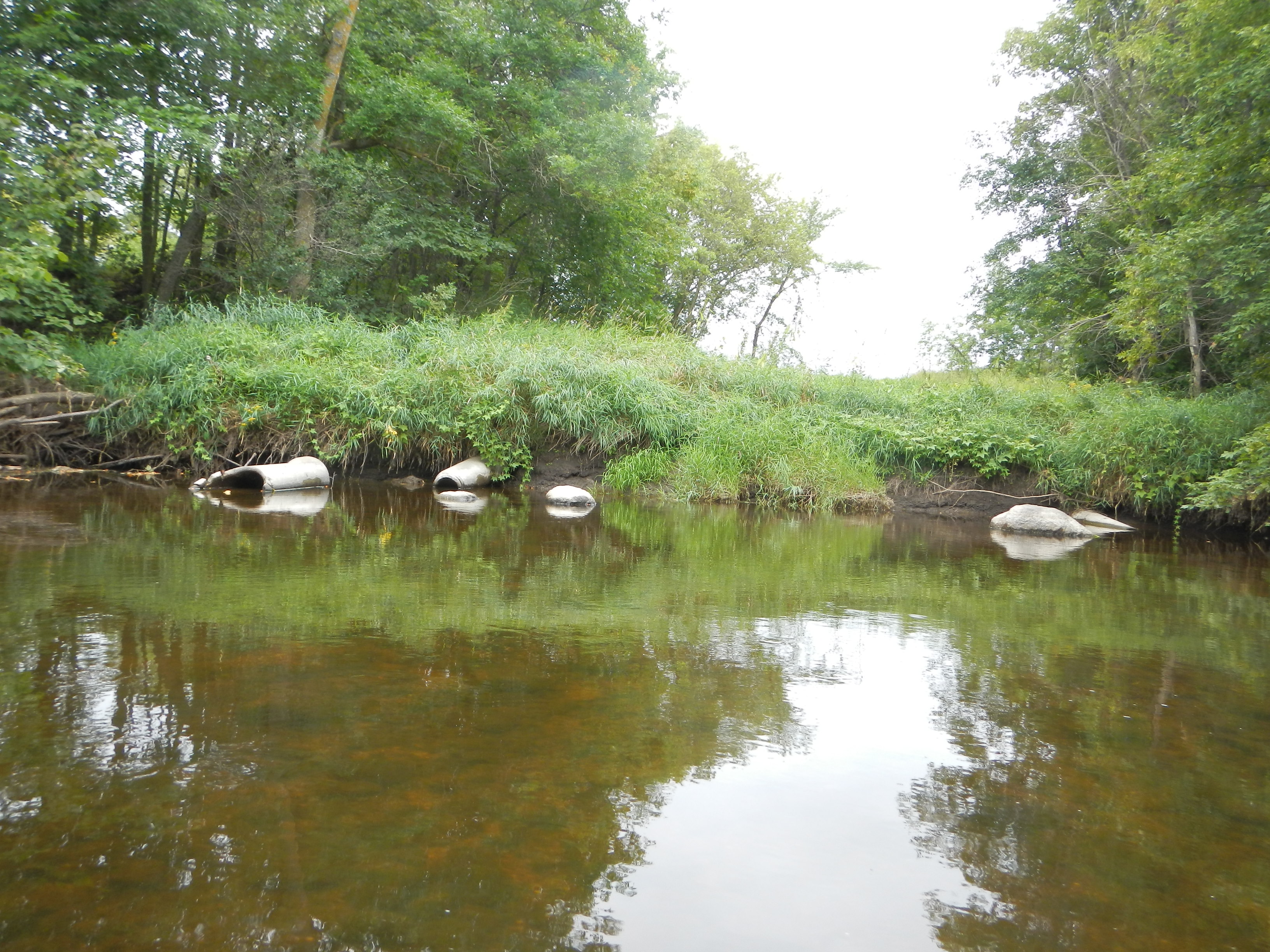
Old Pipes
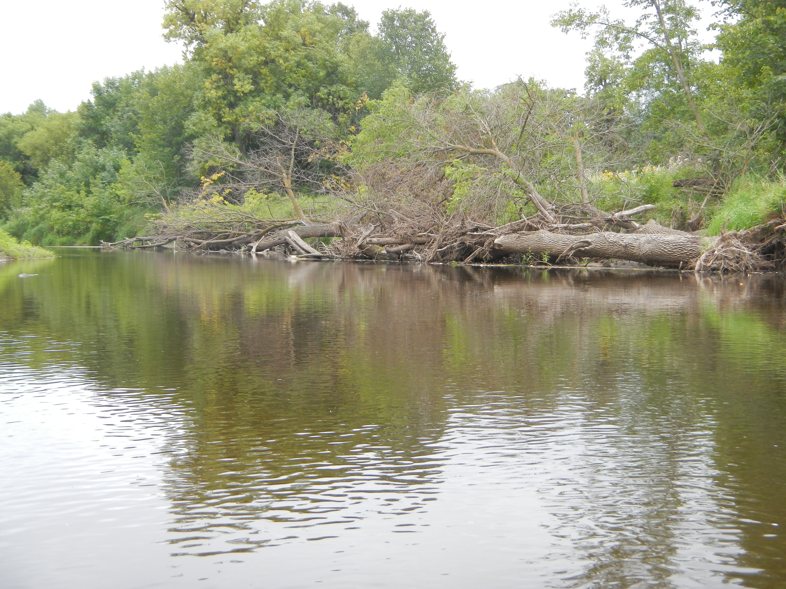
Downed Trees
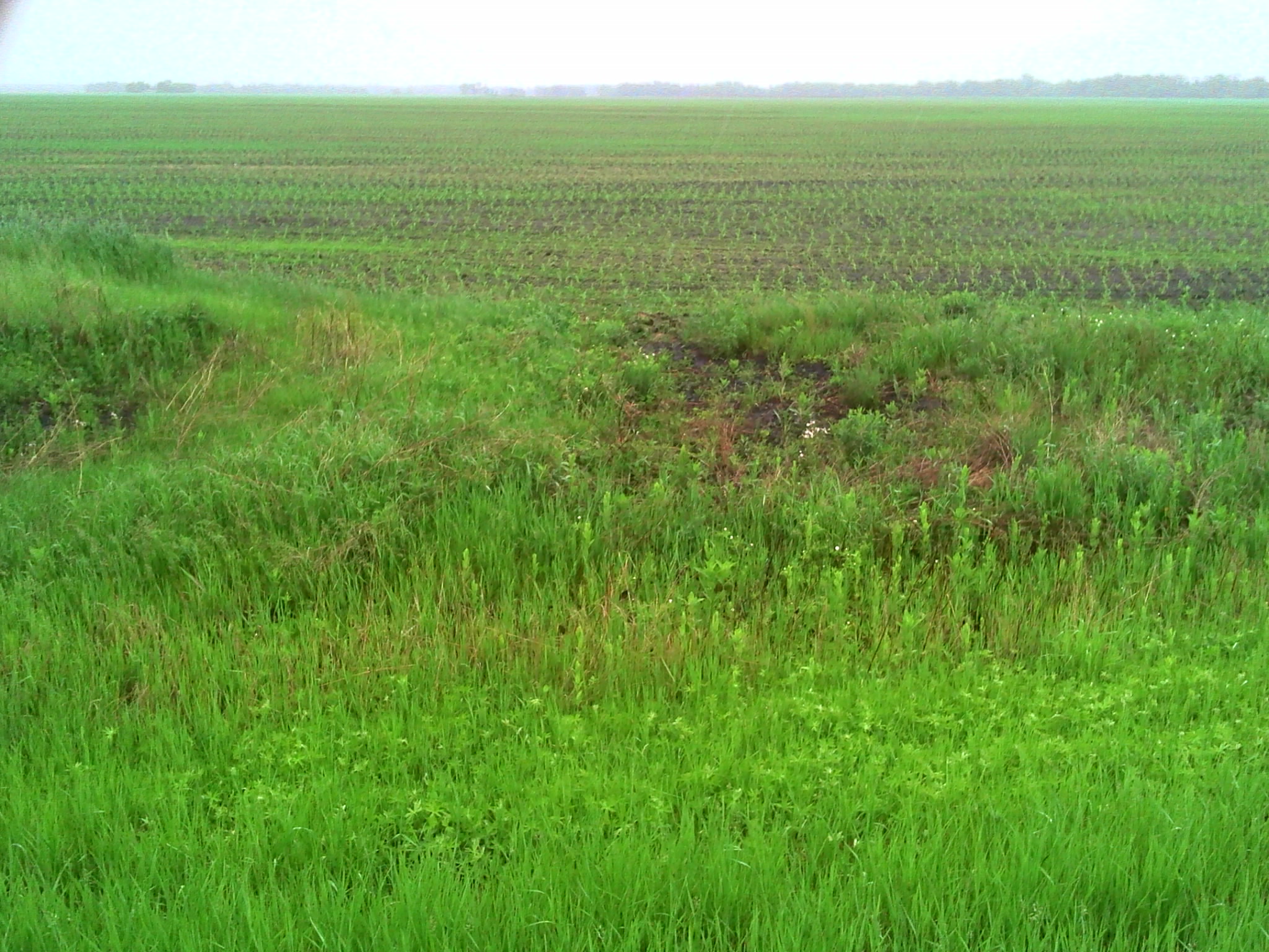
Cattle Access

Asclepias incarnata
GPS pictures 1394

GPS pictures 1395
GPS pictures 1399
GPS pictures 1397
GPS pictures 1383
Jack Snipe WMA

Sympetrum madidum

Sympetrum internum

Libellula pulchella
Topographic Map of Co Rd 52, Plummer, MN, USA
Find elevation by address:

Places near Co Rd 52, Plummer, MN, USA:
Emardville Township
Se200th Street
Red Lake County
Brooks
Minnesota Ave, Brooks, MN, USA
Pennington County
Co Rd 1, Oklee, MN, USA
Evergreen St, Thief River Falls, MN, USA
2nd St SE, Red Lake Falls, MN, USA
3001 Sanford Parkway
Thief River Falls, MN, USA
201 Main Ave S
Thief River Falls
Co Rd 3, Oklee, MN, USA
16081 Center Ave N
15115 229th St Ne
Goodridge
Excel Township
Goodridge Township
Lincoln Ave, Newfolden, MN, USA
Recent Searches:
- Elevation of Dog Leg Dr, Minden, NV, USA
- Elevation of Dog Leg Dr, Minden, NV, USA
- Elevation of Kambingan Sa Pansol Atbp., Purok 7 Pansol, Candaba, Pampanga, Philippines
- Elevation of Pinewood Dr, New Bern, NC, USA
- Elevation of Mountain View, CA, USA
- Elevation of Foligno, Province of Perugia, Italy
- Elevation of Blauwestad, Netherlands
- Elevation of Bella Terra Blvd, Estero, FL, USA
- Elevation of Estates Loop, Priest River, ID, USA
- Elevation of Woodland Oak Pl, Thousand Oaks, CA, USA