Elevation of Jackson Township, OH, USA
Location: United States > Ohio > Perry County >
Longitude: -82.3234843
Latitude: 39.7069825
Elevation: 293m / 961feet
Barometric Pressure: 0KPa
Related Photos:
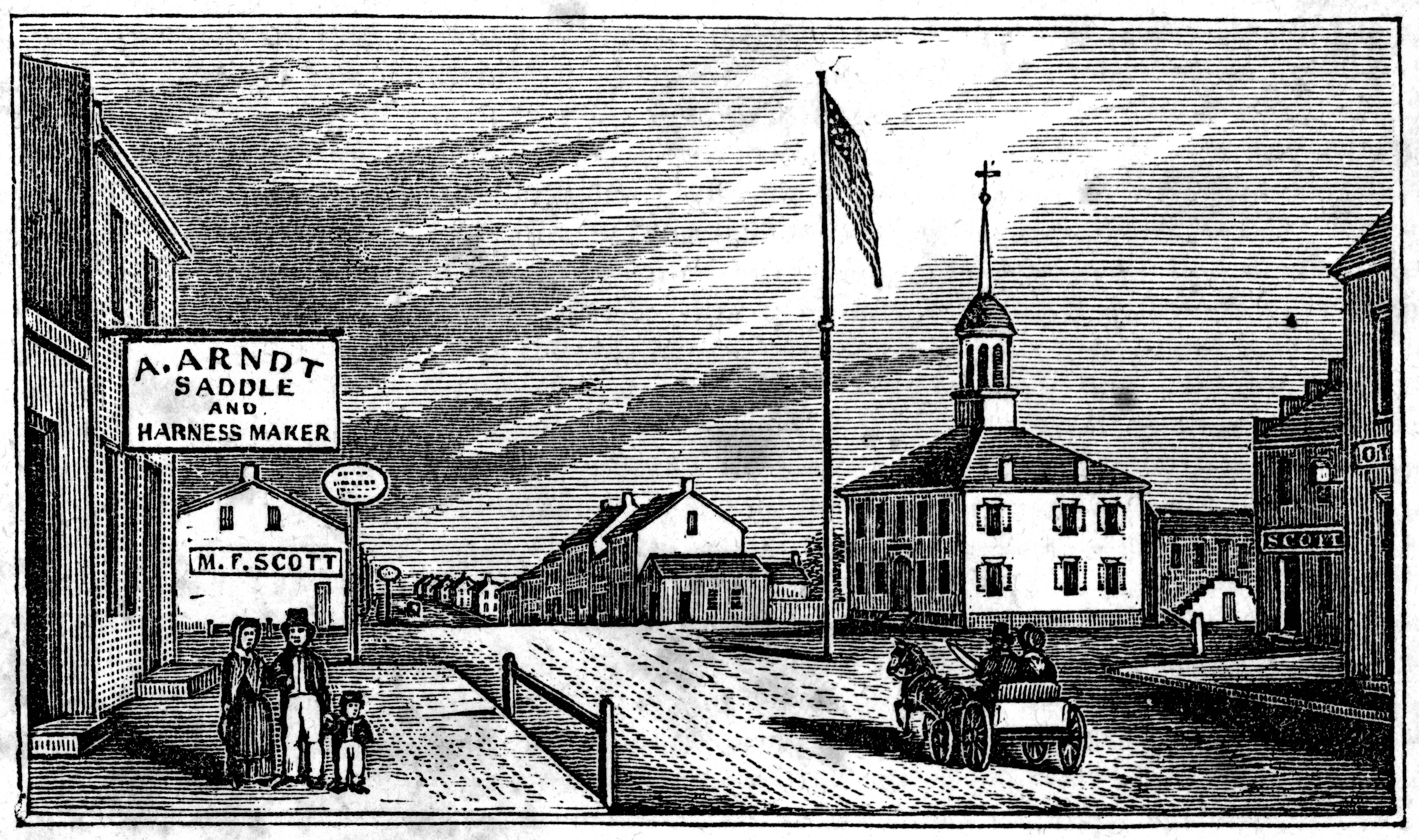
View in Somerset
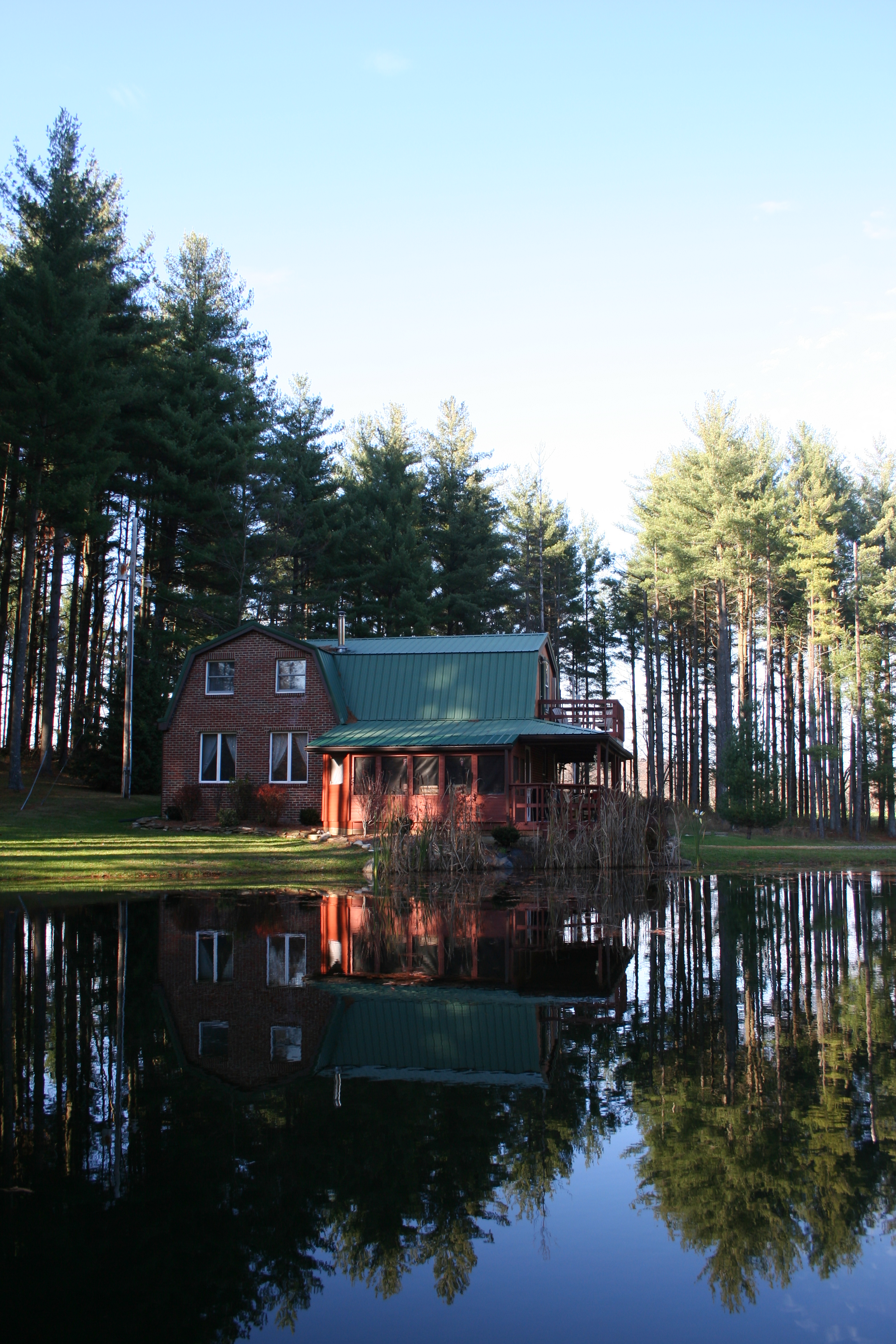
Daylight view across the pond of the cottage
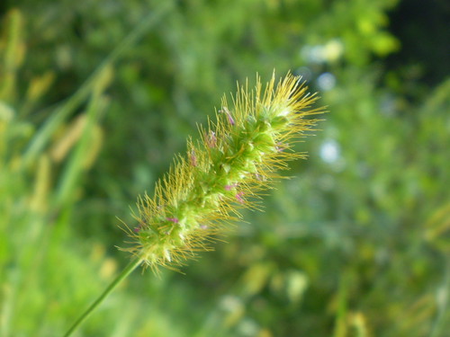
Pretty Weed

Reba and Snazzy

The Bug Lady
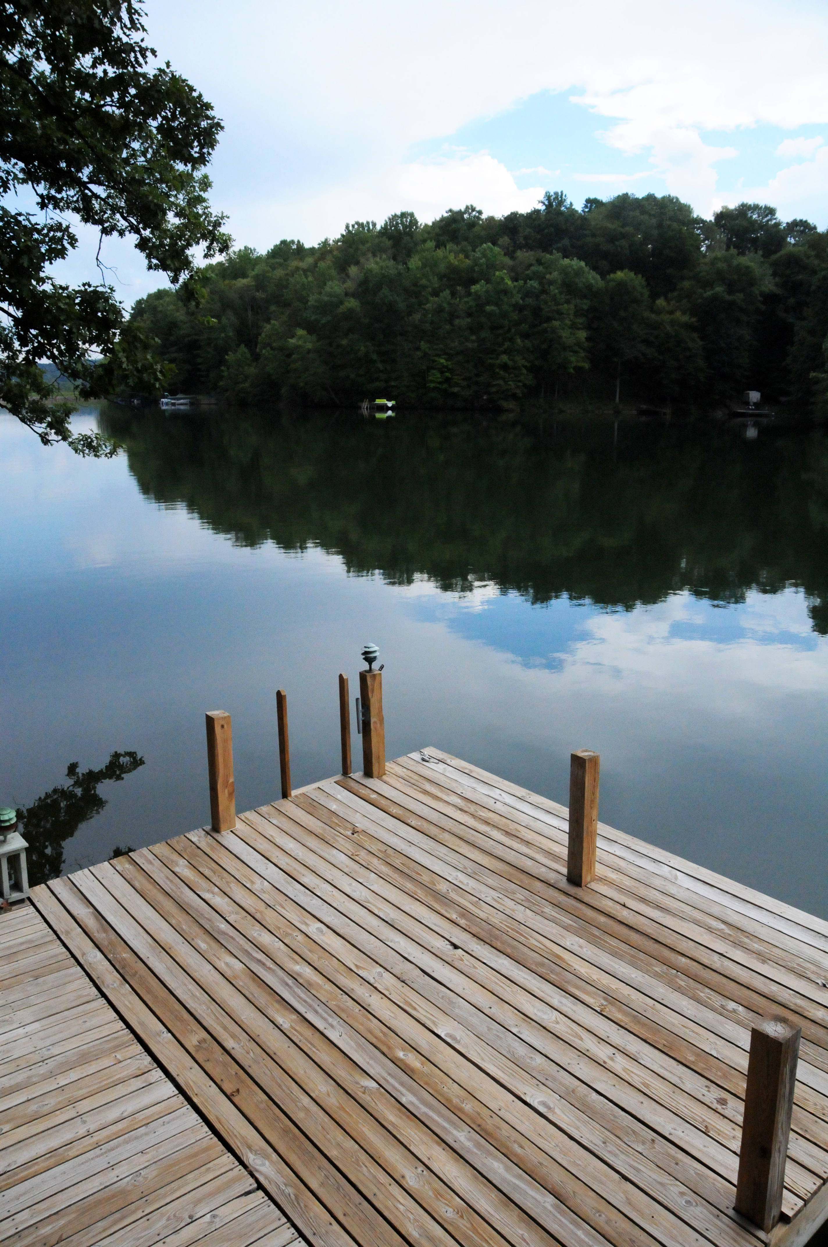
Lakehouse 31 - Sept 11
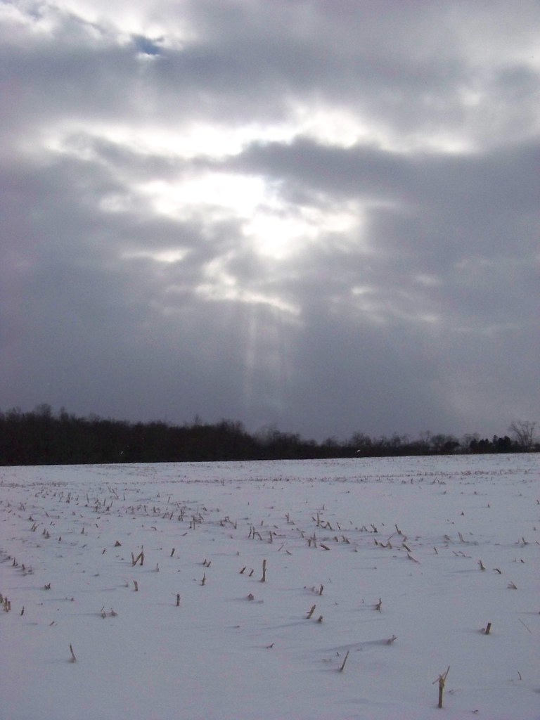
Snowy Field and Shining Sun

OLYMPUS DIGITAL CAMERA

Blended Bug
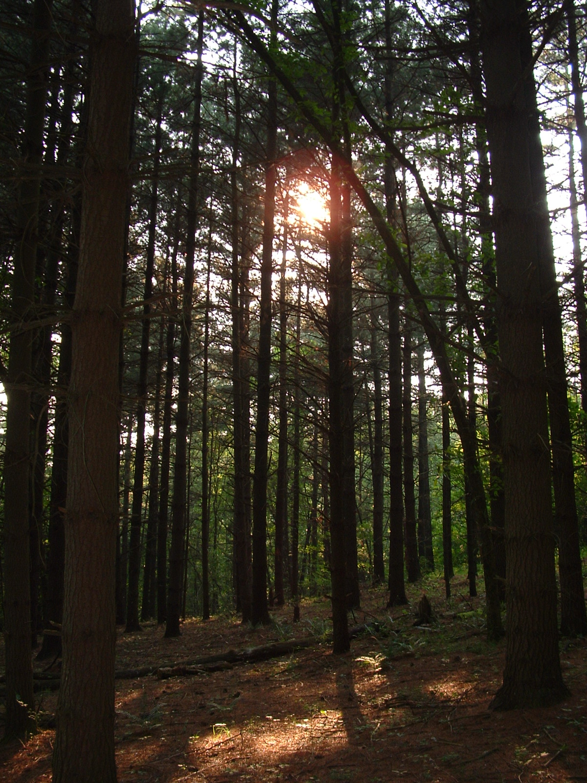
Pine Trees

Raab Bridge 2001 0426 002
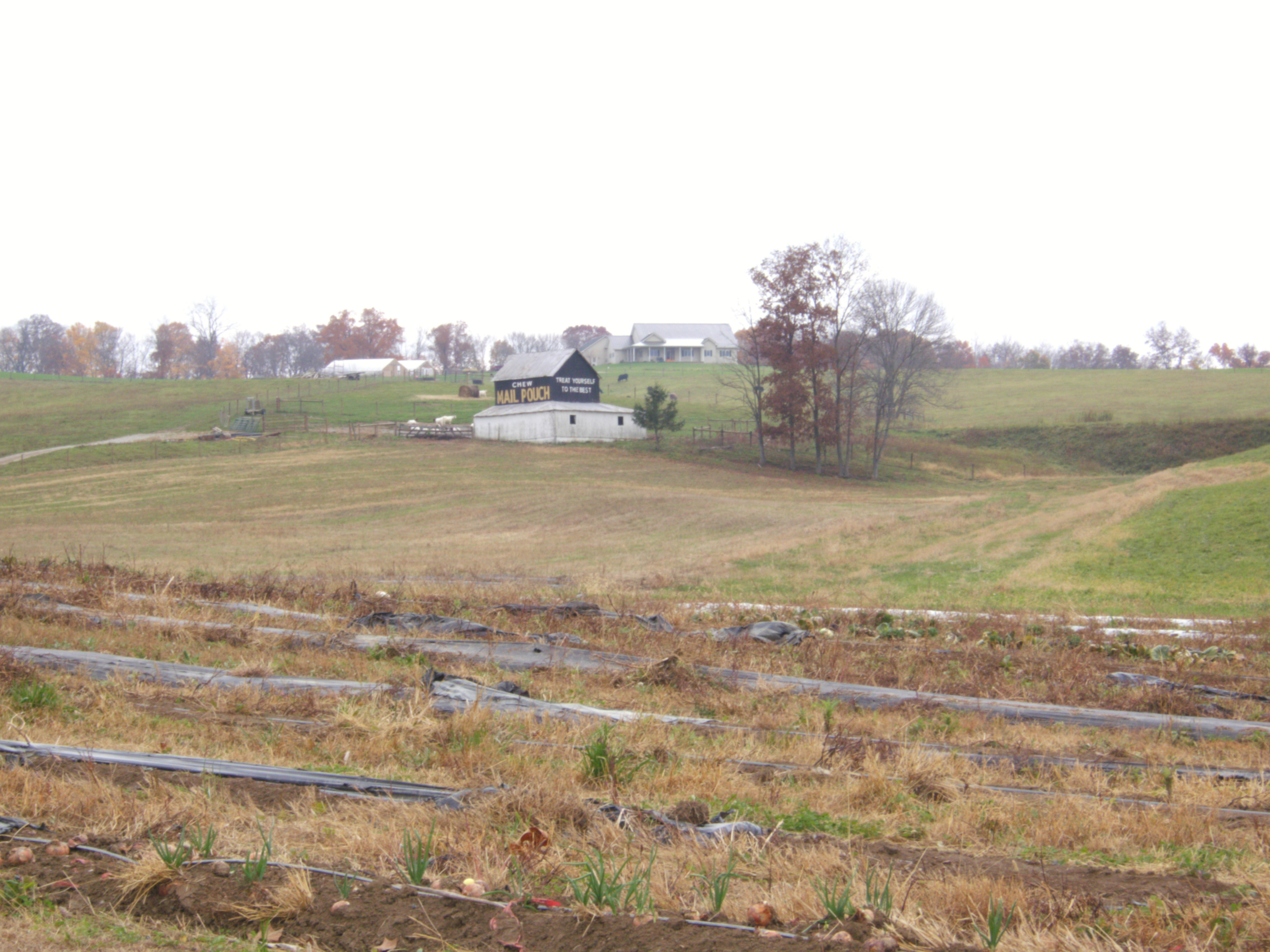
MPB 35-64-01, Perry County, Ohio
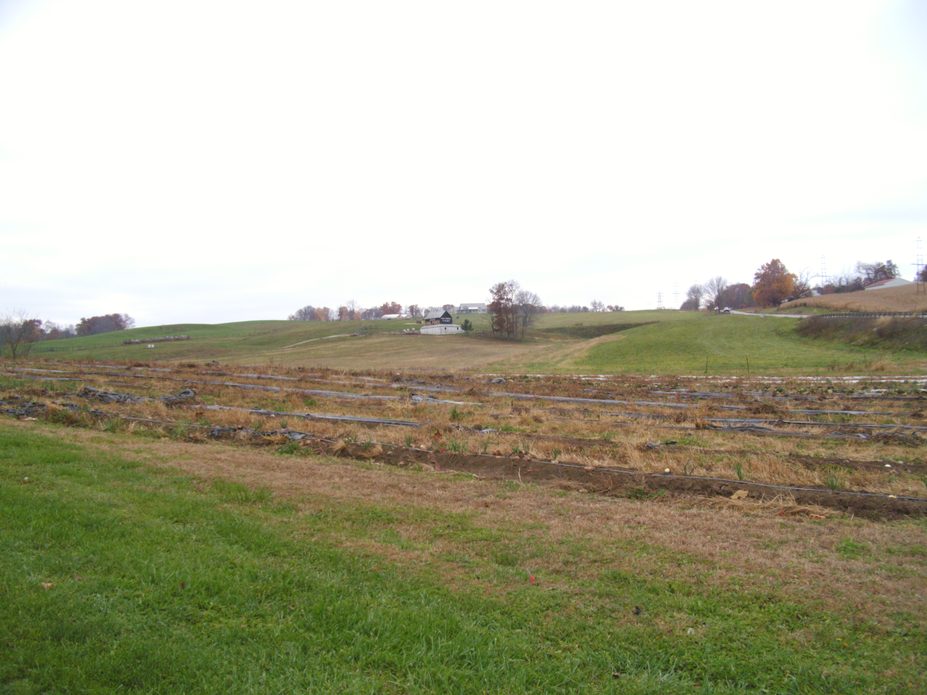
MPB 35-64-01, Perry County, Ohio
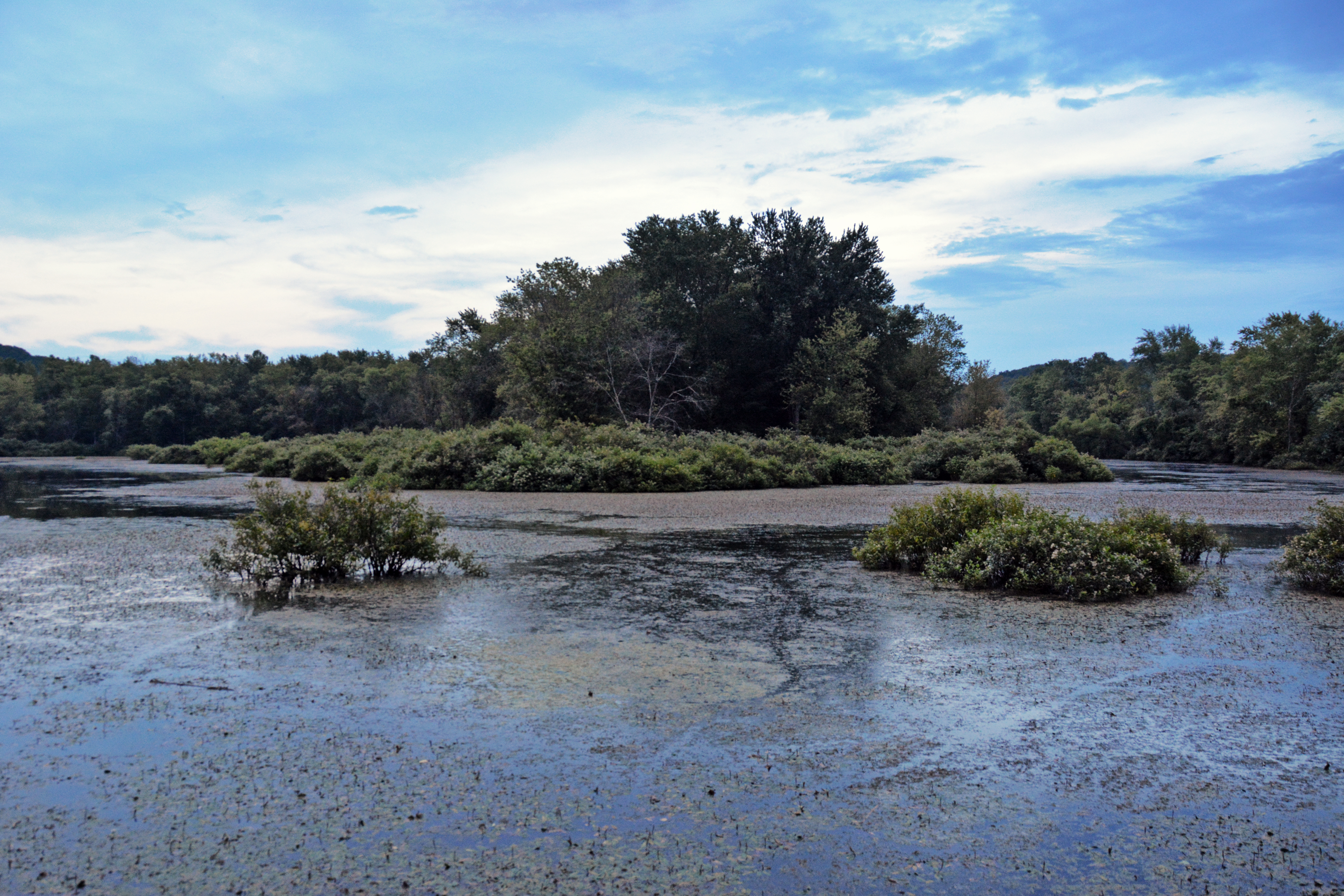
Kessler Swamp
Topographic Map of Jackson Township, OH, USA
Find elevation by address:

Places in Jackson Township, OH, USA:
Places near Jackson Township, OH, USA:
Jackson Township
Jackson Township
E Main St, Junction City, OH, USA
Junction City
Junction City
Junction City
11678 Mccullough Rd Se
Rush Creek Township
9998 Webb Summit Rd Se
Bremen
Boch Hollow State Nature Preserve
Nutter-Boring Rd, Logan, OH, USA
OH-93, New Straitsville, OH, USA
5521 Sheets Rd
Marion Township
37376 Maysville-greendale Rd
608 Catawba Ln
608 Catawba Ln
34650 True Rd
1602 Kato Ln
Recent Searches:
- Elevation map of Greenland, Greenland
- Elevation of Sullivan Hill, New York, New York, 10002, USA
- Elevation of Morehead Road, Withrow Downs, Charlotte, Mecklenburg County, North Carolina, 28262, USA
- Elevation of 2800, Morehead Road, Withrow Downs, Charlotte, Mecklenburg County, North Carolina, 28262, USA
- Elevation of Yangbi Yi Autonomous County, Yunnan, China
- Elevation of Pingpo, Yangbi Yi Autonomous County, Yunnan, China
- Elevation of Mount Malong, Pingpo, Yangbi Yi Autonomous County, Yunnan, China
- Elevation map of Yongping County, Yunnan, China
- Elevation of North 8th Street, Palatka, Putnam County, Florida, 32177, USA
- Elevation of 107, Big Apple Road, East Palatka, Putnam County, Florida, 32131, USA
- Elevation of Jiezi, Chongzhou City, Sichuan, China
- Elevation of Chongzhou City, Sichuan, China
- Elevation of Huaiyuan, Chongzhou City, Sichuan, China
- Elevation of Qingxia, Chengdu, Sichuan, China
- Elevation of Corso Fratelli Cairoli, 35, Macerata MC, Italy
- Elevation of Tallevast Rd, Sarasota, FL, USA
- Elevation of 4th St E, Sonoma, CA, USA
- Elevation of Black Hollow Rd, Pennsdale, PA, USA
- Elevation of Oakland Ave, Williamsport, PA, USA
- Elevation of Pedrógão Grande, Portugal