Elevation of E Main St, Junction City, OH, USA
Location: United States > Ohio > Perry County > Jackson Township > Junction City >
Longitude: -82.298998
Latitude: 39.7212236
Elevation: 257m / 843feet
Barometric Pressure: 98KPa
Elevation Map:
Satellite Map:
Related Photos:
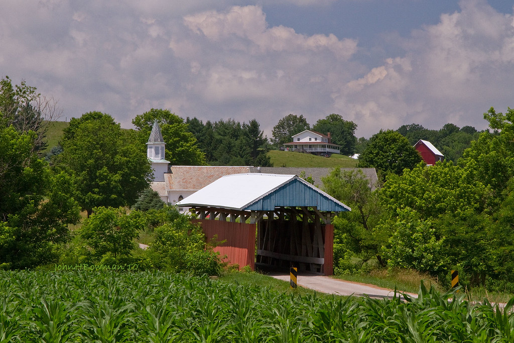
Hopewell Church Covered Bridge - Plus Church & Farm
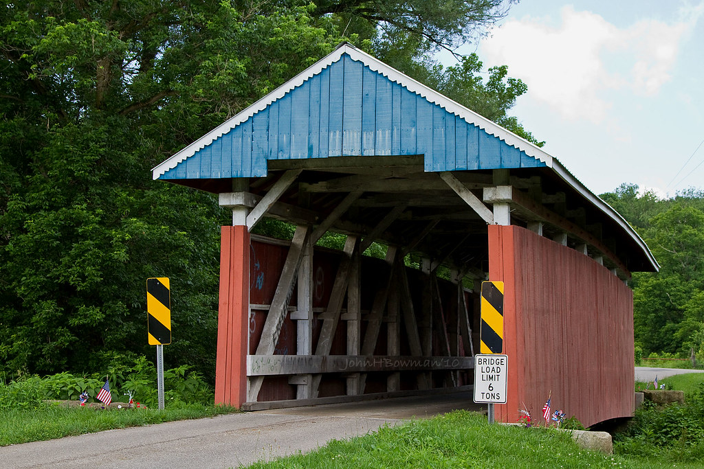
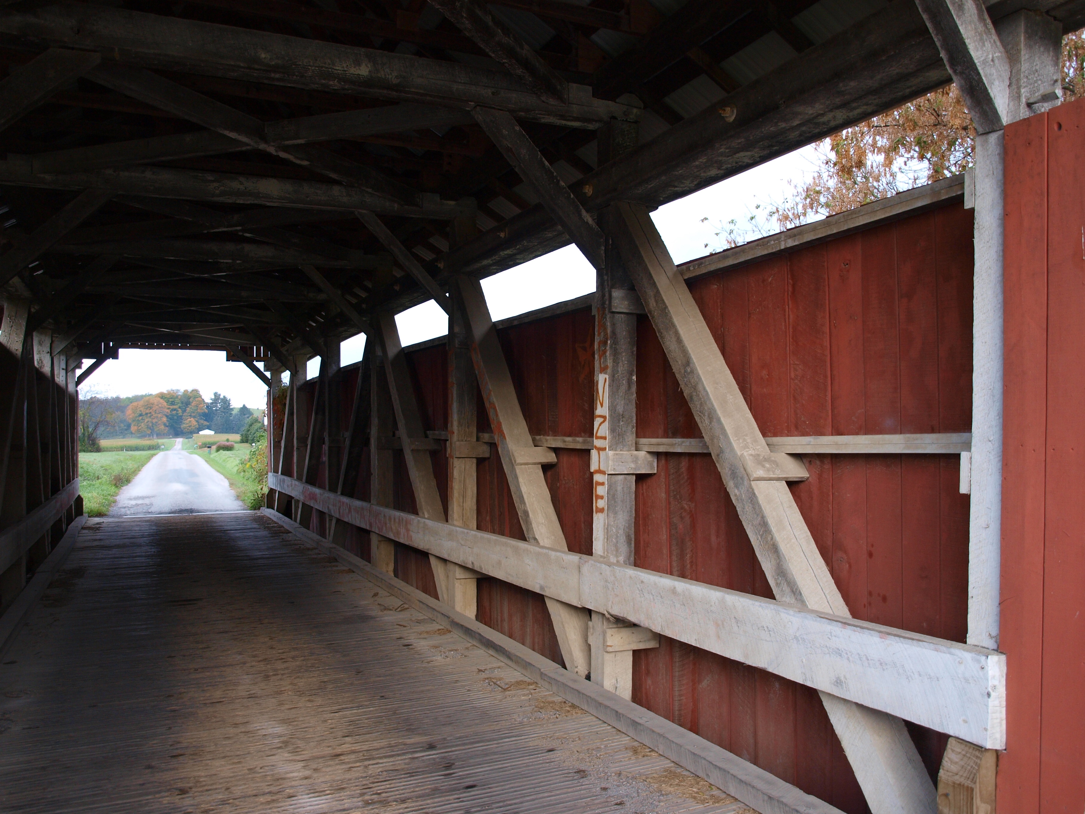
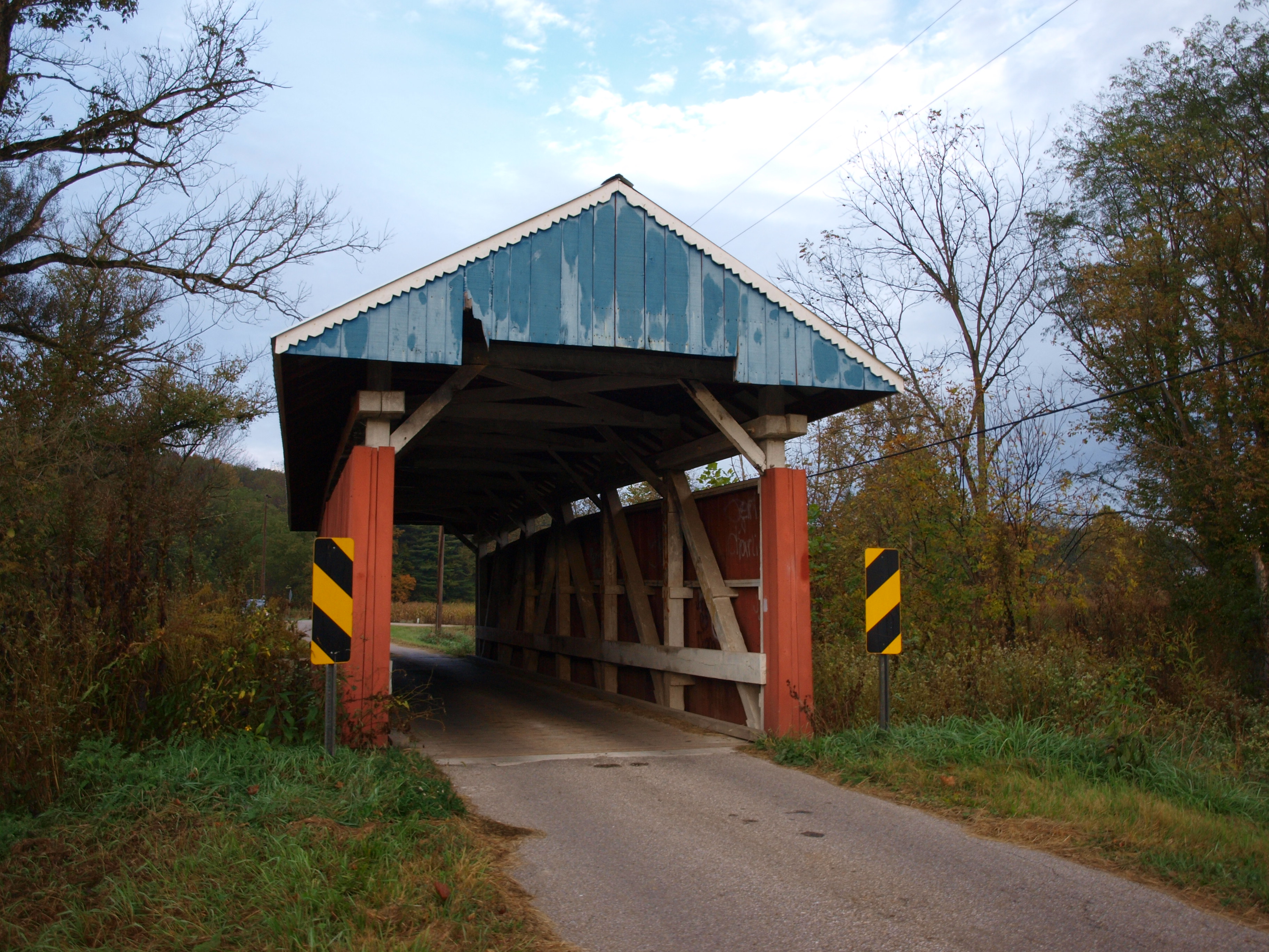
Parks Covered Bridge
Hopewell Church Covered Bridge, cross creek view, Perry County, Ohio
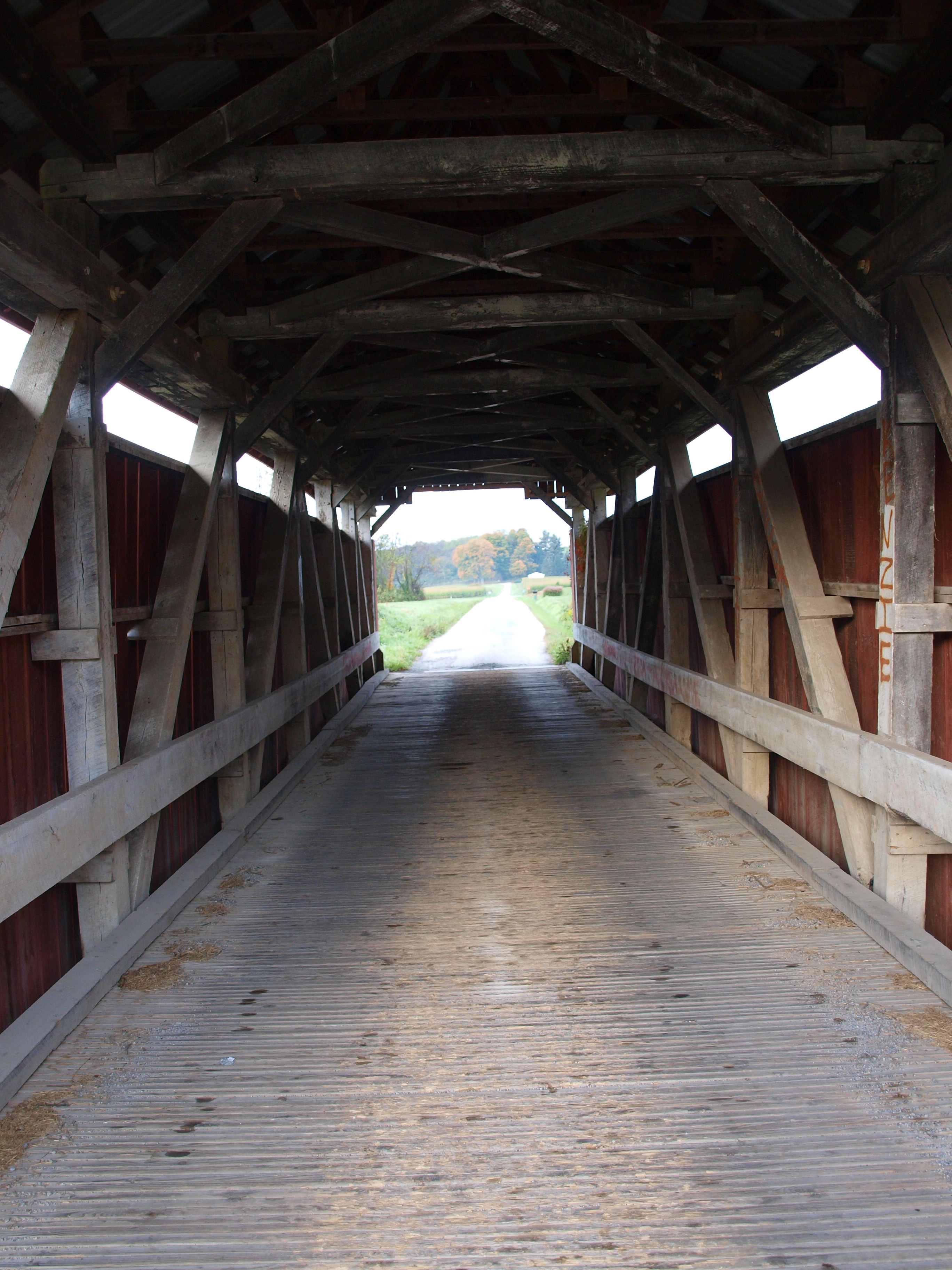
Parks Covered Bridge, barrel view, Perry County, Ohio
Hopewell Church Covered Bridge, barrel view, Perry County, Ohio
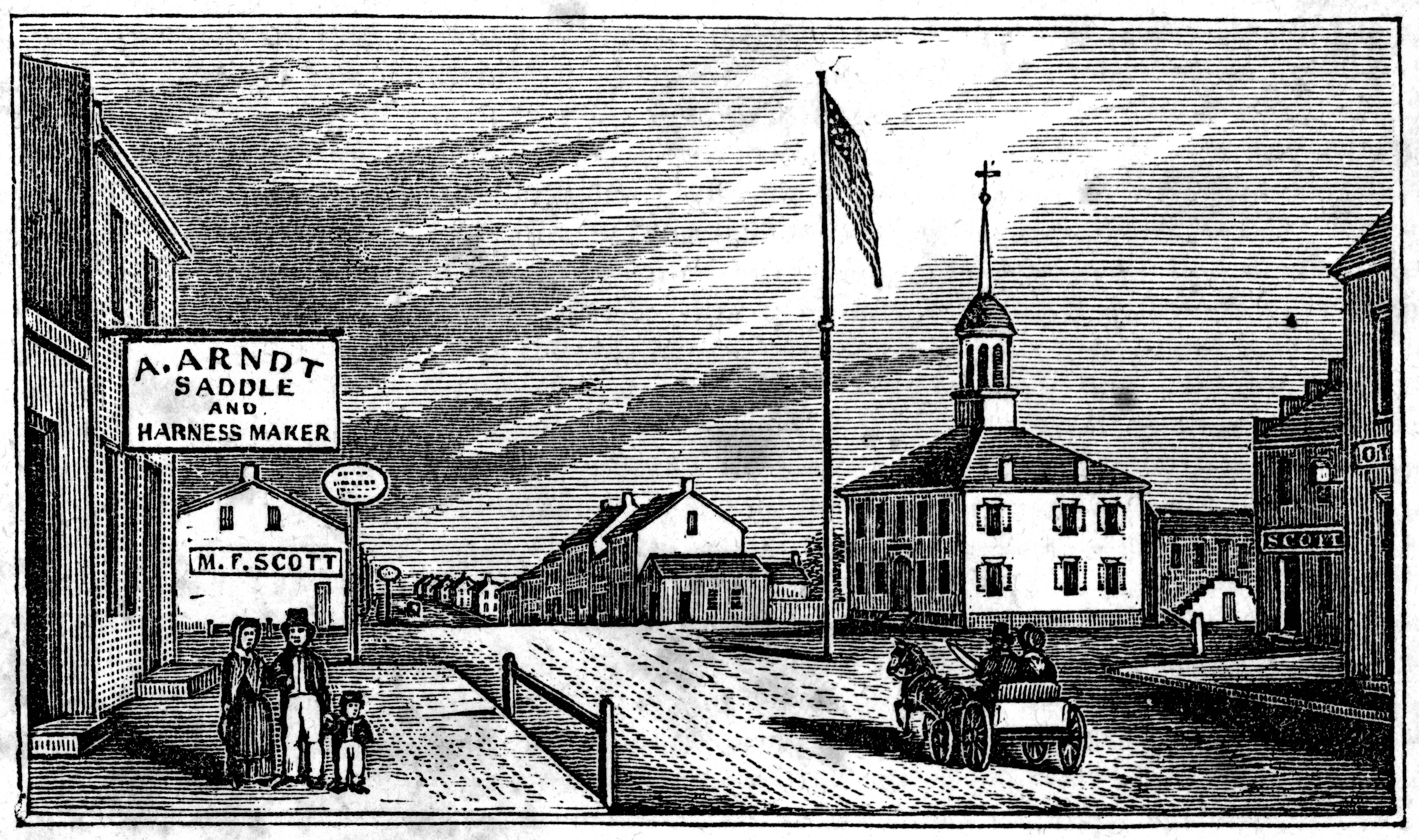
View in Somerset
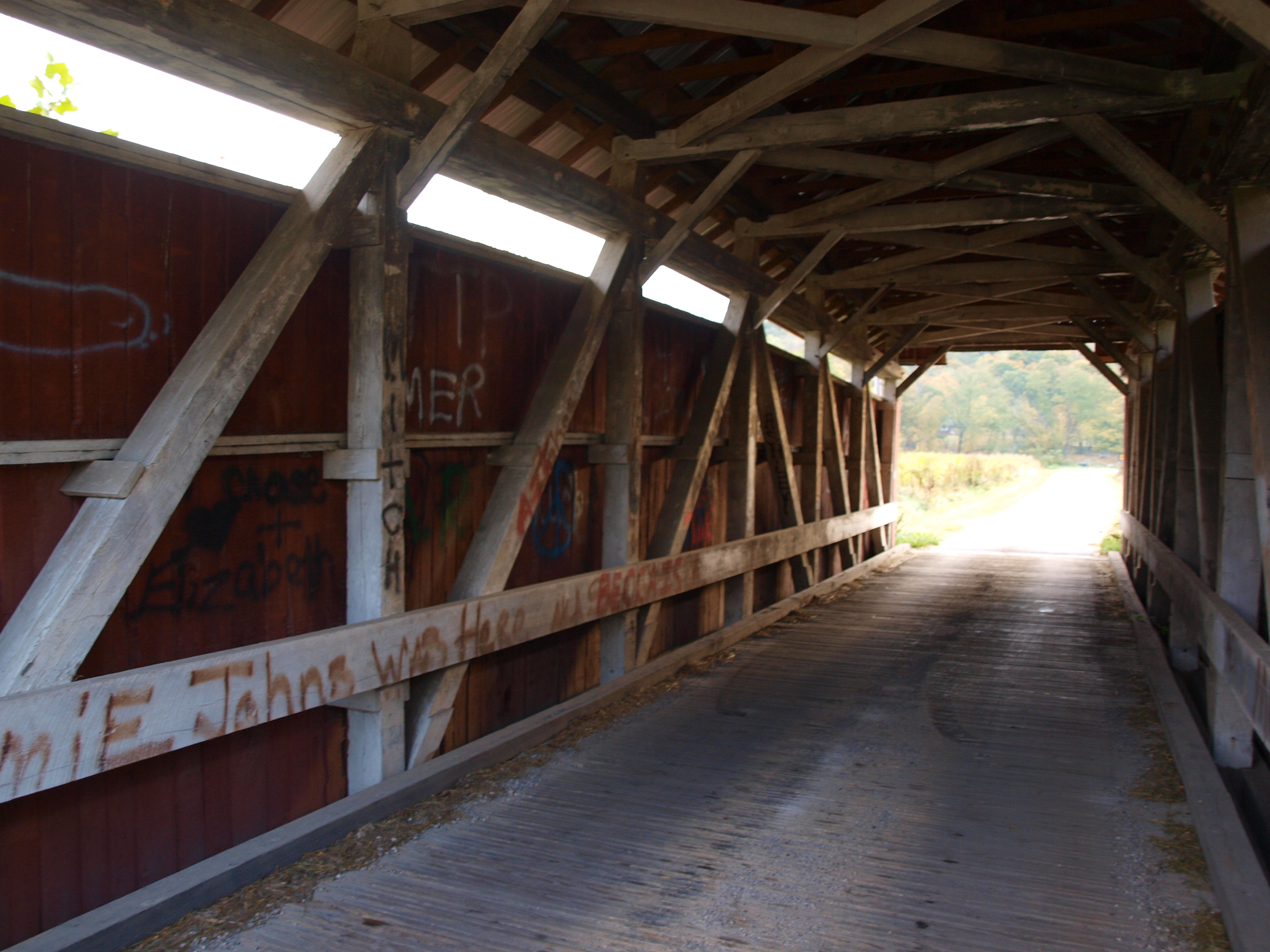
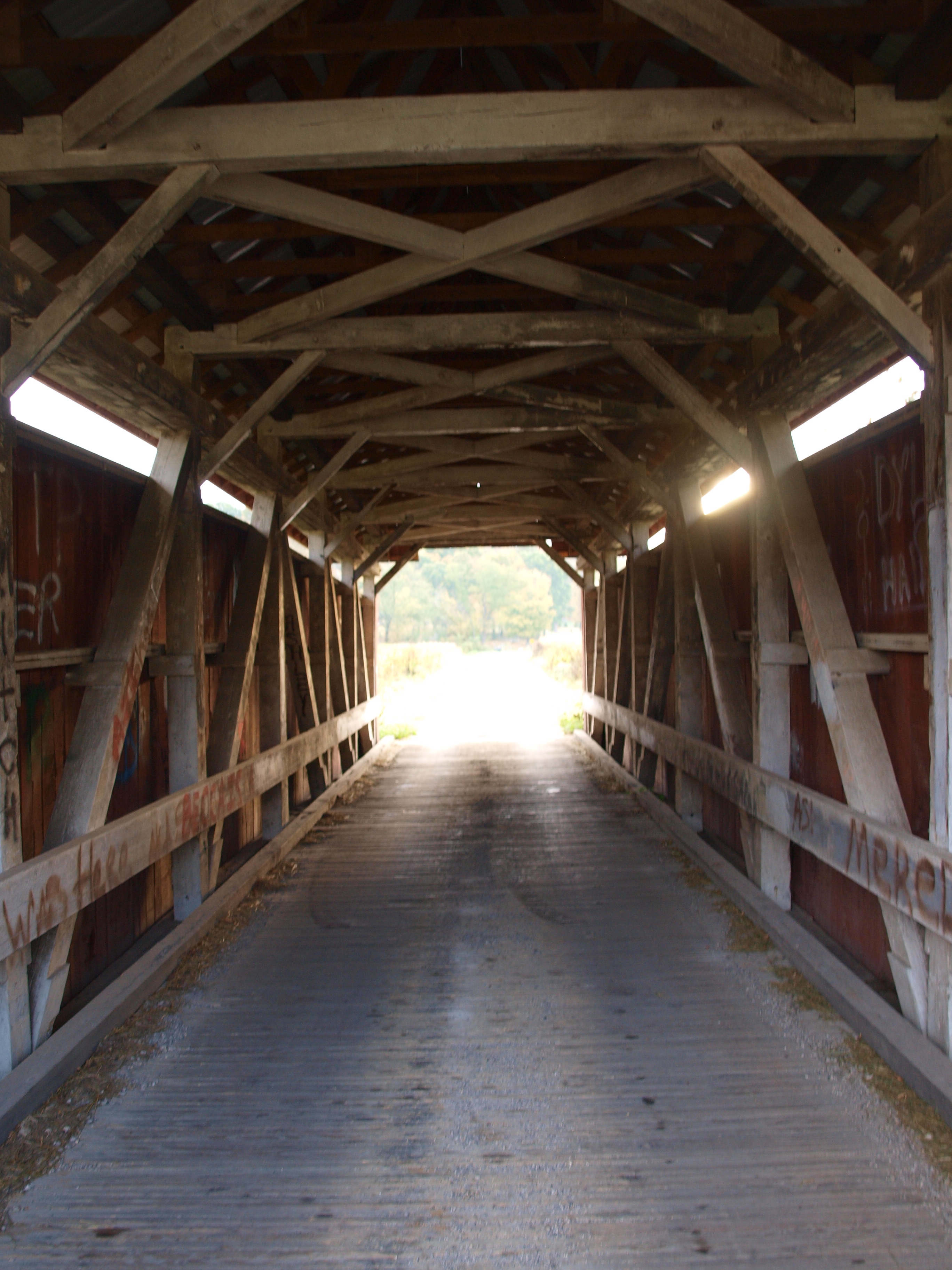
Parks Covered Bridge, truss view, Perry County, Ohio
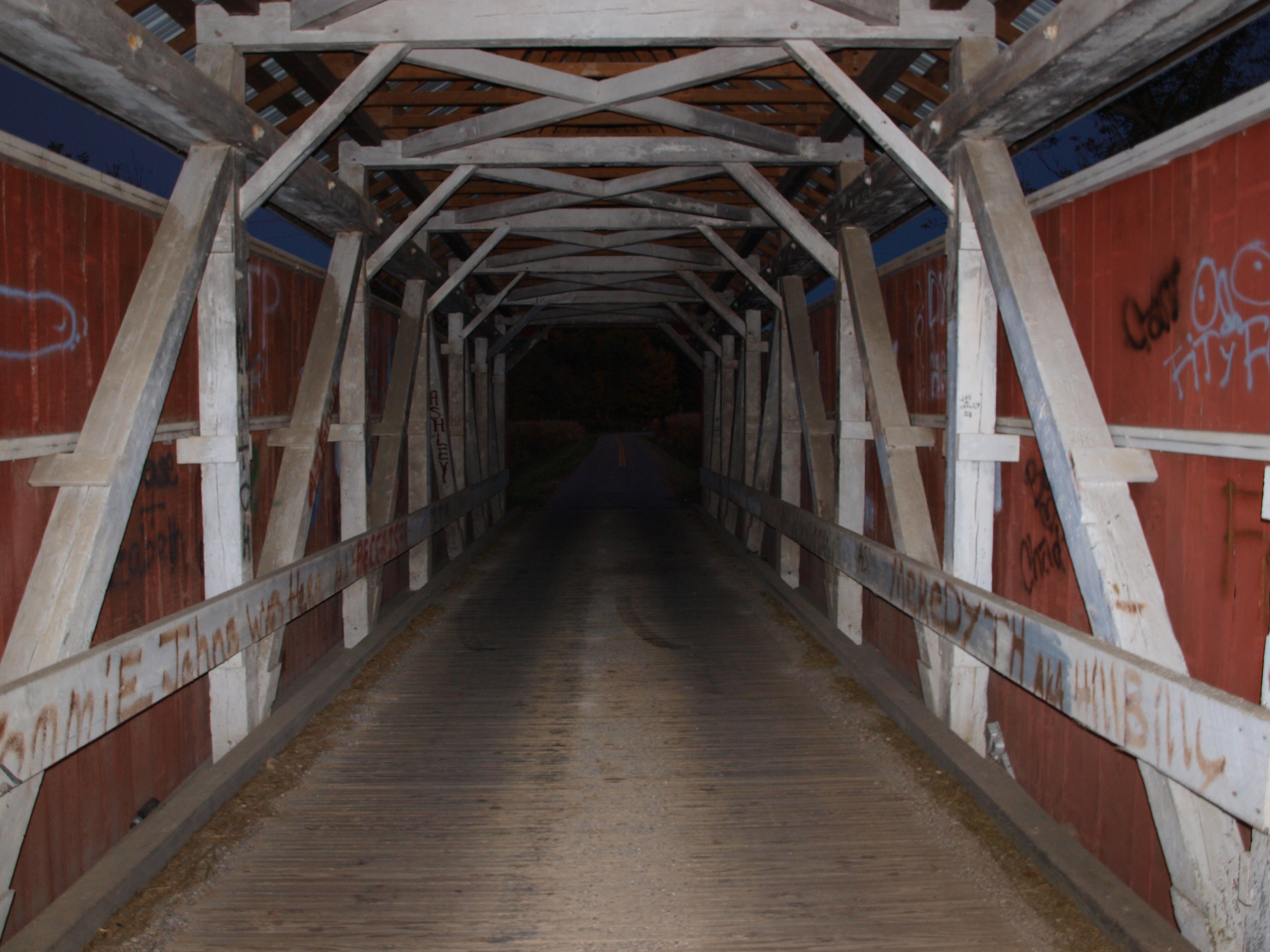
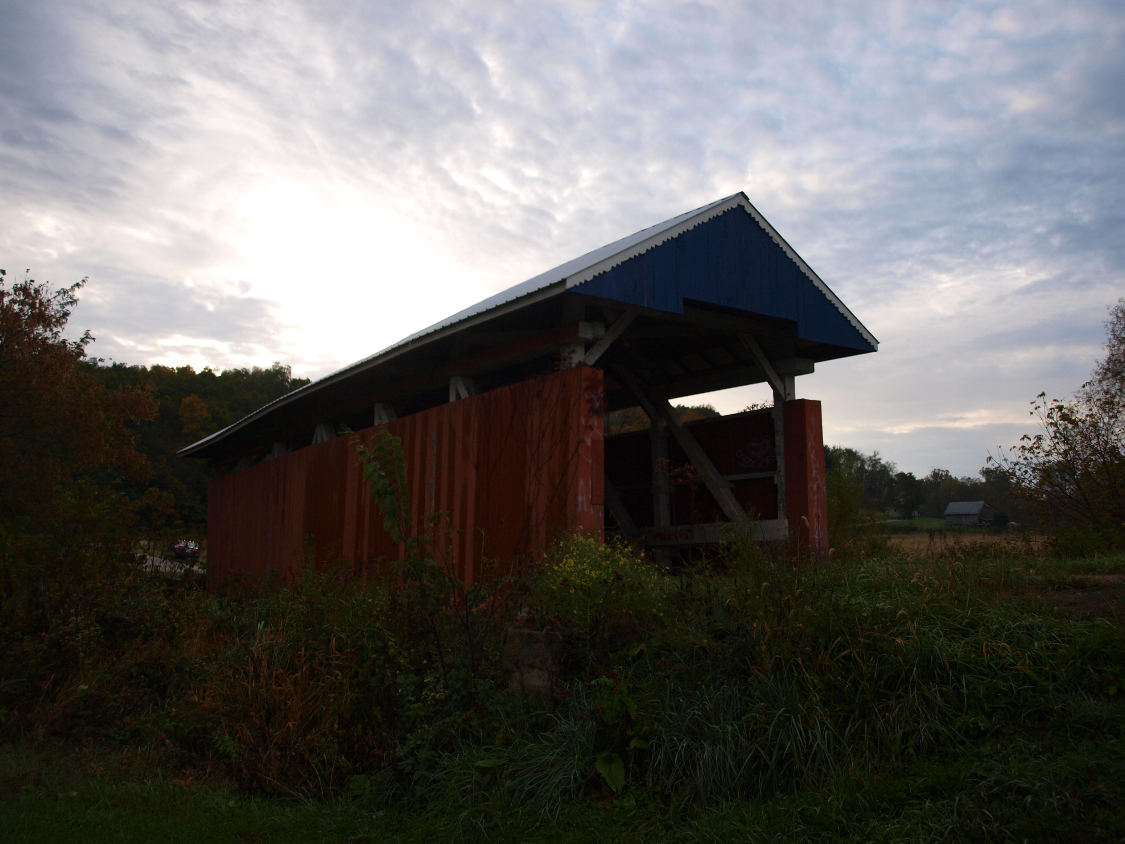
Parks Covered Bridge, night barrel view, Perry County, Ohio
Hopewell Church Covered Bridge, truss view, Perry County, Ohio

Parks Covered Bridge, night truss view, Perry County, Ohio
Parks Covered Bridge, cross creek view, Perry County, Ohio
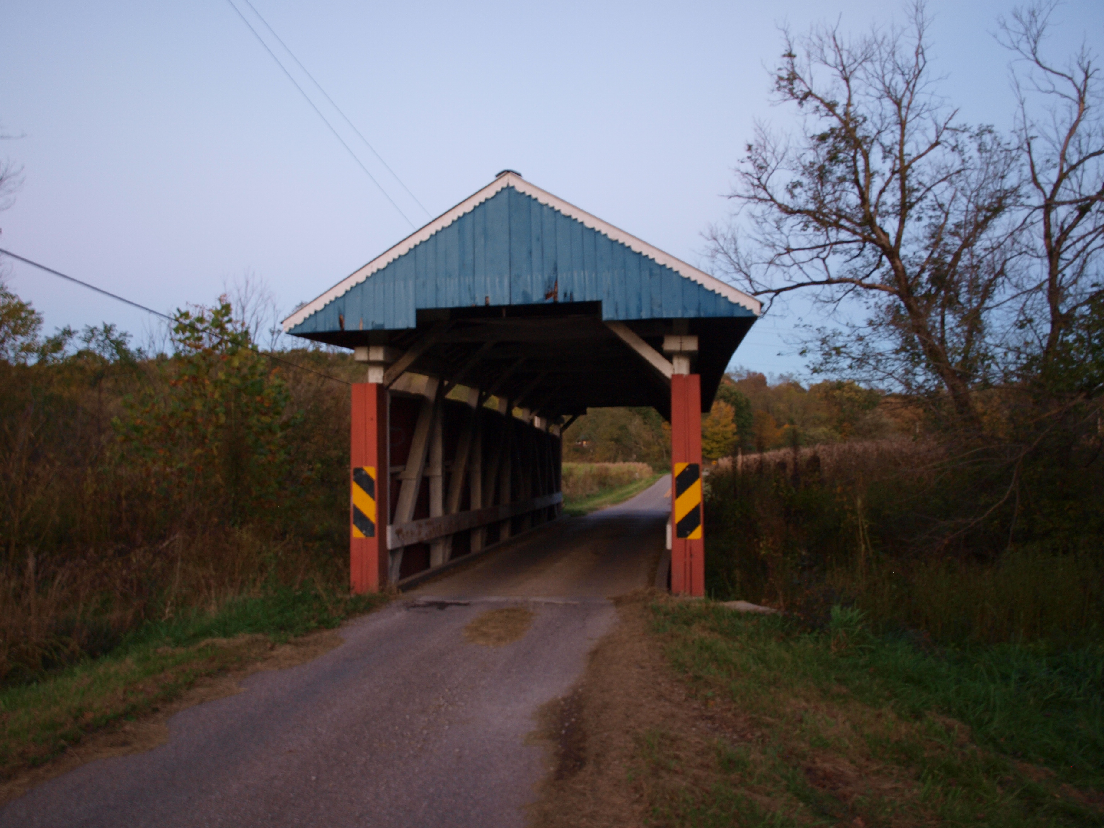
Parks Covered Bridge, night view, Perry County, Ohio
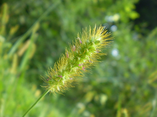
Pretty Weed

Reba and Snazzy

The Bug Lady

Snowy Field and Shining Sun

OLYMPUS DIGITAL CAMERA

Blended Bug

Raab Bridge 2001 0426 002
MPB 35-64-01, Perry County, Ohio
MPB 35-64-01, Perry County, Ohio
Topographic Map of E Main St, Junction City, OH, USA
Find elevation by address:

Places near E Main St, Junction City, OH, USA:
Junction City
Junction City
Junction City
Jackson Township
Jackson Township
Jackson Township
11678 Mccullough Rd Se
Rush Creek Township
9998 Webb Summit Rd Se
Bremen
OH-93, New Straitsville, OH, USA
Nutter-Boring Rd, Logan, OH, USA
Boch Hollow State Nature Preserve
5521 Sheets Rd
37376 Maysville-greendale Rd
Marion Township
34650 True Rd
608 Catawba Ln
608 Catawba Ln
1602 Kato Ln
Recent Searches:
- Elevation of Corso Fratelli Cairoli, 35, Macerata MC, Italy
- Elevation of Tallevast Rd, Sarasota, FL, USA
- Elevation of 4th St E, Sonoma, CA, USA
- Elevation of Black Hollow Rd, Pennsdale, PA, USA
- Elevation of Oakland Ave, Williamsport, PA, USA
- Elevation of Pedrógão Grande, Portugal
- Elevation of Klee Dr, Martinsburg, WV, USA
- Elevation of Via Roma, Pieranica CR, Italy
- Elevation of Tavkvetili Mountain, Georgia
- Elevation of Hartfords Bluff Cir, Mt Pleasant, SC, USA