Elevation of J Slagle Rd NE, Calhoun, GA, USA
Location: United States > Georgia > Gordon County > Ranger >
Longitude: -84.806617
Latitude: 34.5446317
Elevation: 201m / 659feet
Barometric Pressure: 99KPa
Elevation Map:
Satellite Map:
Related Photos:

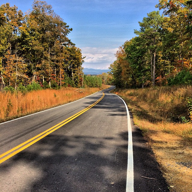
Road to Chatsworth

Resaca Confederates

A Lamp, A Birdhouse, A Tree, And A view

iPhone UGA Game

Photoceramic of a 16 Year Old

Supreme Court of the Cherokee Nation

Red - Laser

Yellow Mustang Roush Conversion

Another wreck. Car in the creek out of view. Saw a woman crawl out and walk back up to the road. Crazy.

Red-tailed Hawk (Kriders). GMNH 6960. Fite Bend Rd, Gordon County, 11 December 2005. Photo by Ken Blankenship

Red-tailed Hawk (Kriders). GMNH 6960. Fite Bend Rd, Gordon County, 11 December 2005. Photo by Ken Blankenship

RJ the Cat-2

Monument to Unknown at Resaca

This view never gets old. #home

The view Belle and I have from the upper back deck this evening.

Lake Star Trail Stack

The view.
A nice view. Worth the stop. #sufferfest #cycling @georgia_proud

Today's view.

I love my lake

Talking Rock Nature Trail

I love my lake

Spring in the mountains

Grasshopper sparrow

Moss Lake in Calhoun Georgia

May 14, 1864

Aiden at cemetery

Night Landscapes-3
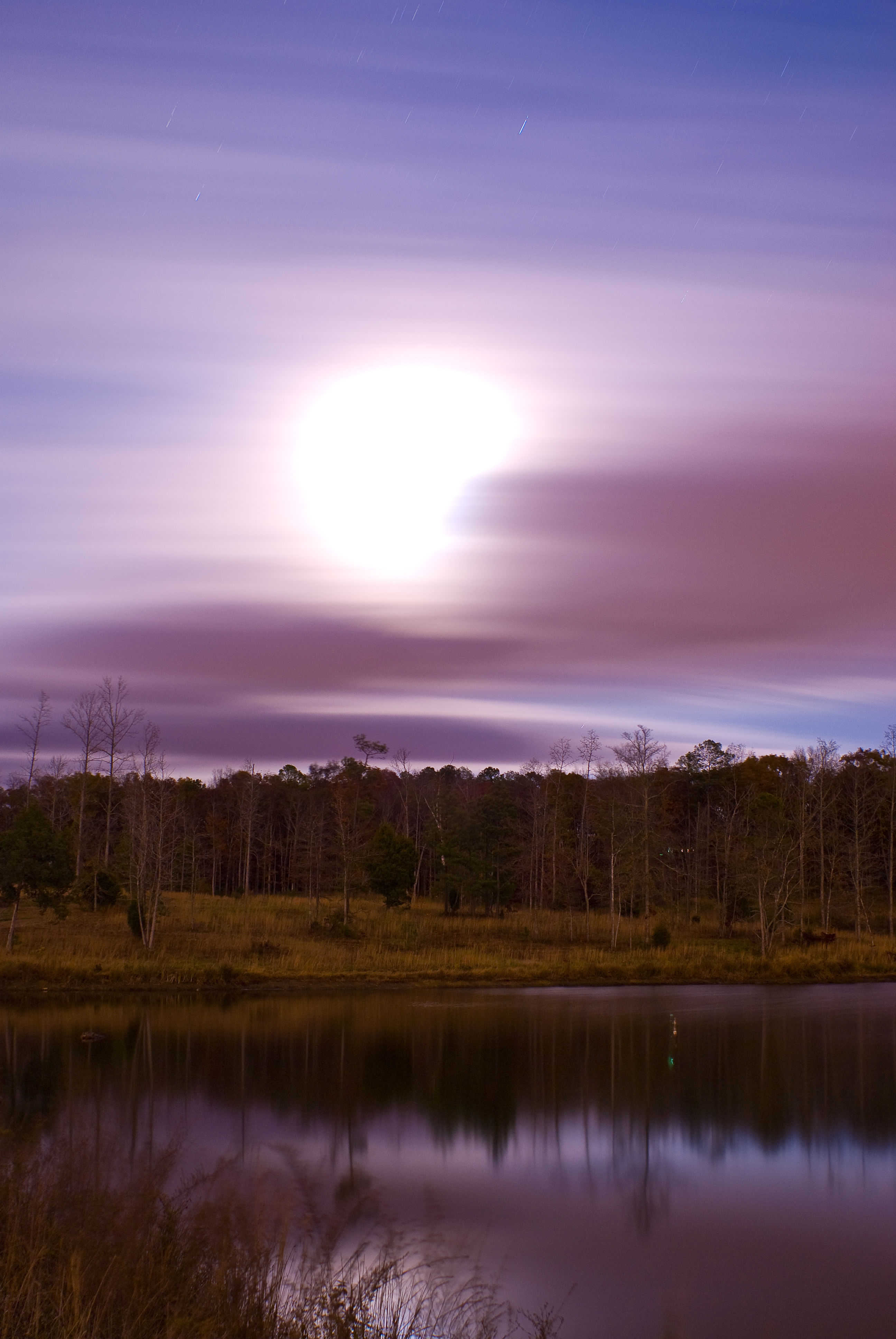
Cloudy Moon-2

Reregulation Dam & Carters Lake Dam: Murray County, Georgia

Dogwood Tree in Bloom #Spring #dogwood #newechota

2011 Battle of Resaca,GA

2011 Battle of Resaca,GA

Cloudy Moon-3

2011 Battle of Resaca,GA

Cloudy Moon-1

20150126-DSCF3238.jpg

20150127-DSCF3266.jpg

Purple Flowers in Field: Murray County, Georgia
Topographic Map of J Slagle Rd NE, Calhoun, GA, USA
Find elevation by address:

Places near J Slagle Rd NE, Calhoun, GA, USA:
Cash Rd NE, Calhoun, GA, USA
Nesbit Loop NE, Resaca, GA, USA
905 Taylor Town Rd Ne
Cash Rd SE, Calhoun, GA, USA
Spring St, Fairmount, GA, USA
Pine Chapel Rd NE, Calhoun, GA, USA
1706 Cash Rd Se
3822 Nicklesville Rd Ne
3808 Nicklesville Rd Ne
Gordon County
337 Brookshire Rd Ne
954 White Graves Rd Ne
Davis Ln NE, Calhoun, GA, USA
Haygood Road
Haygood Road
314 Allen Loop Se
1100 Dews Pond Rd
Fairmount Hwy SE, Calhoun, GA, USA
Resaca
200 Fred Hurley Rd
Recent Searches:
- Elevation of Congressional Dr, Stevensville, MD, USA
- Elevation of Bellview Rd, McLean, VA, USA
- Elevation of Stage Island Rd, Chatham, MA, USA
- Elevation of Shibuya Scramble Crossing, 21 Udagawacho, Shibuya City, Tokyo -, Japan
- Elevation of Jadagoniai, Kaunas District Municipality, Lithuania
- Elevation of Pagonija rock, Kranto 7-oji g. 8"N, Kaunas, Lithuania
- Elevation of Co Rd 87, Jamestown, CO, USA
- Elevation of Tenjo, Cundinamarca, Colombia
- Elevation of Côte-des-Neiges, Montreal, QC H4A 3J6, Canada
- Elevation of Bobcat Dr, Helena, MT, USA