Elevation of Resaca, GA, USA
Location: United States > Georgia > Gordon County >
Longitude: -84.943276
Latitude: 34.5803628
Elevation: 195m / 640feet
Barometric Pressure: 99KPa
Elevation Map:
Satellite Map:
Related Photos:
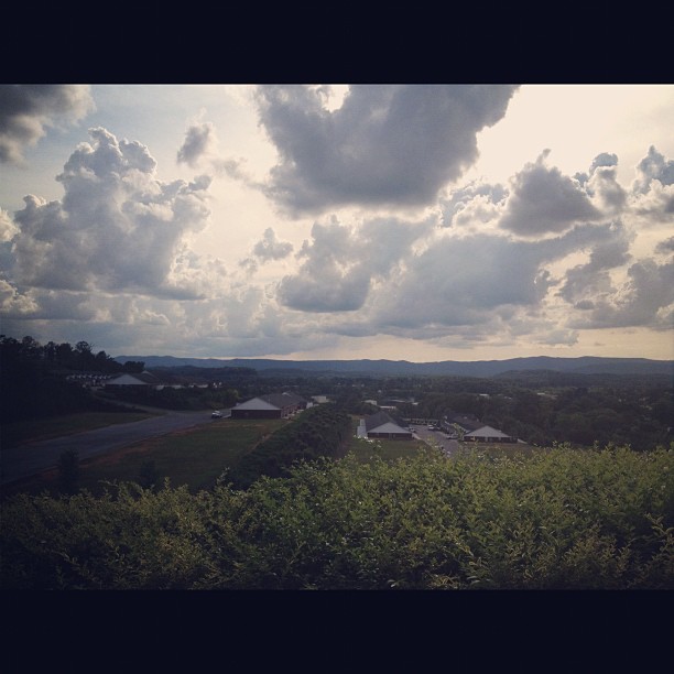
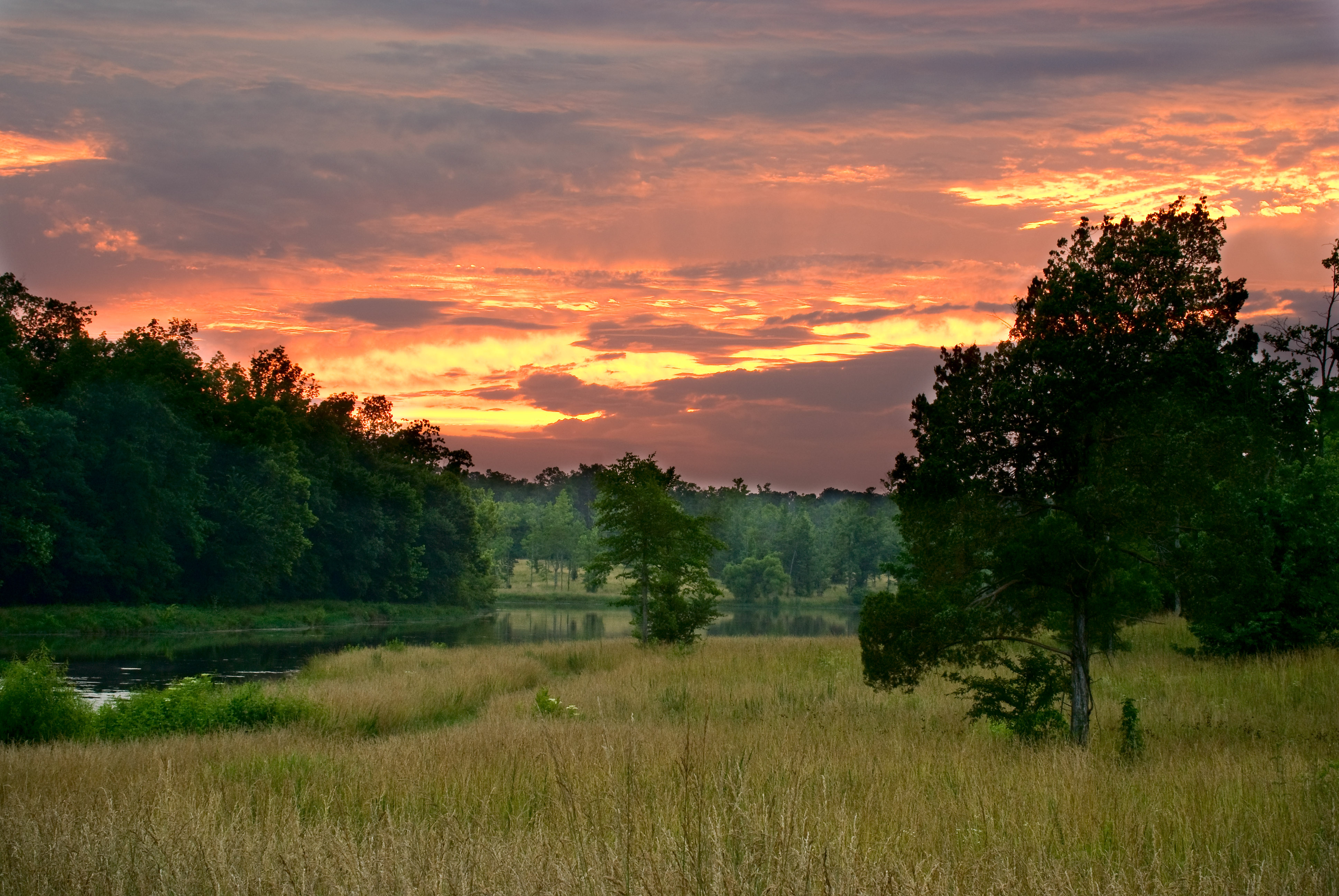
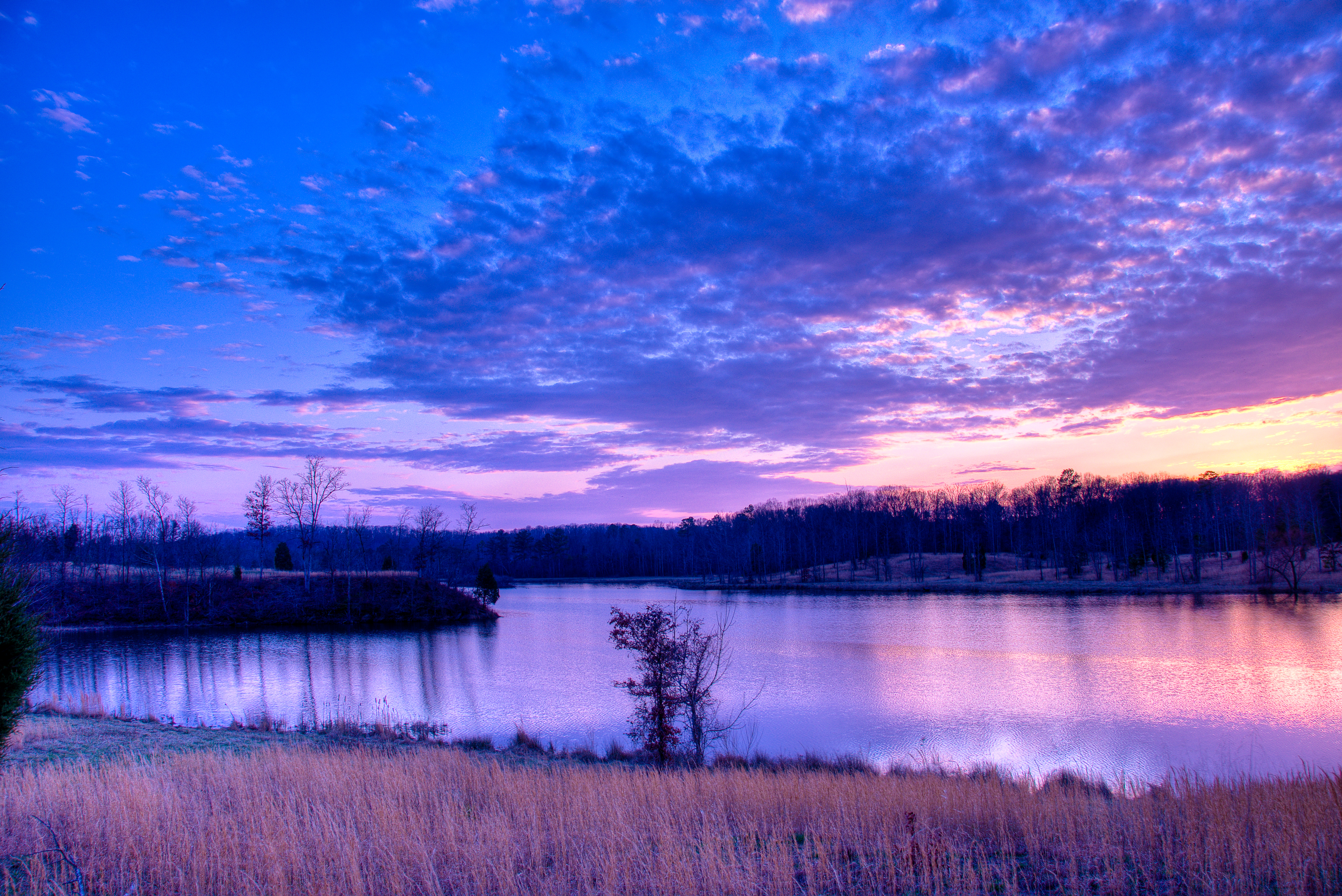
The view.
"When the power of love overcomes the love of power, the world will know peace." Jimi Hendrix

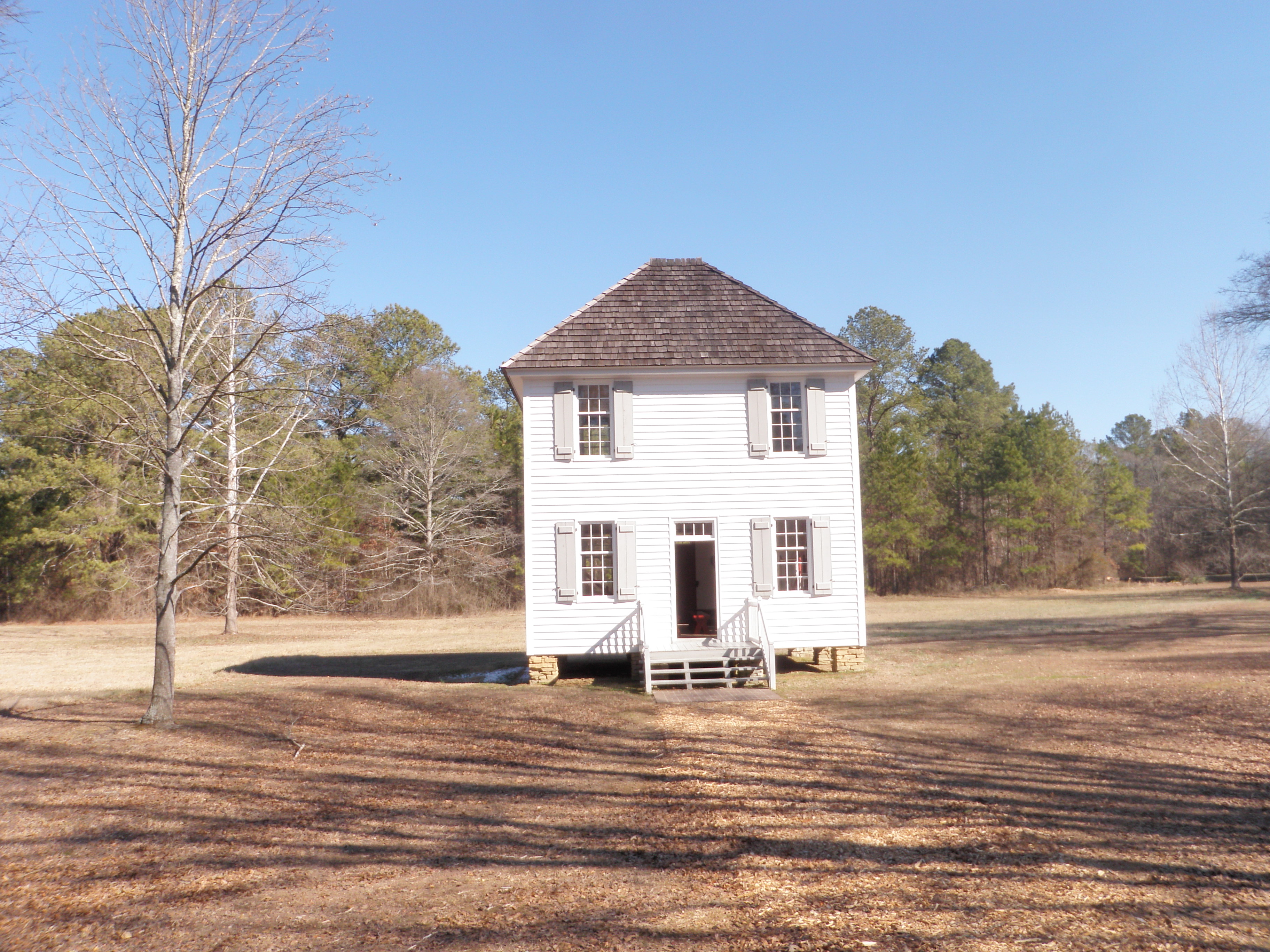
Fence At New Echota

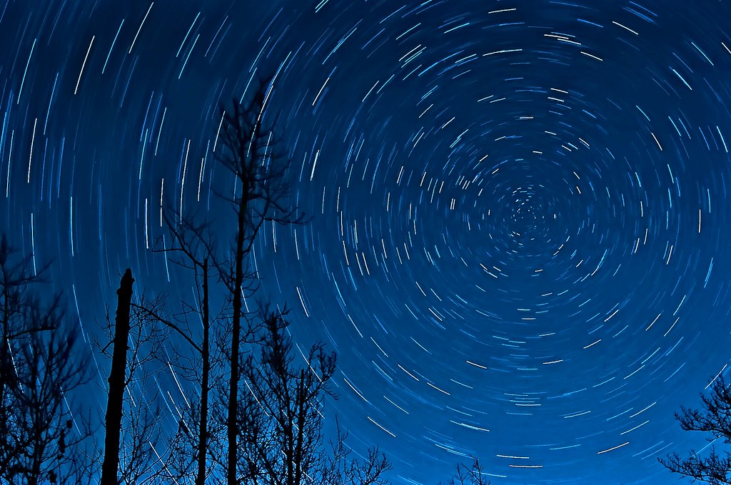
Lake Star Trail Stack

Photoceramic of a 16 Year Old
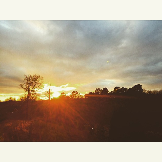
The view Belle and I have from the upper back deck this evening.
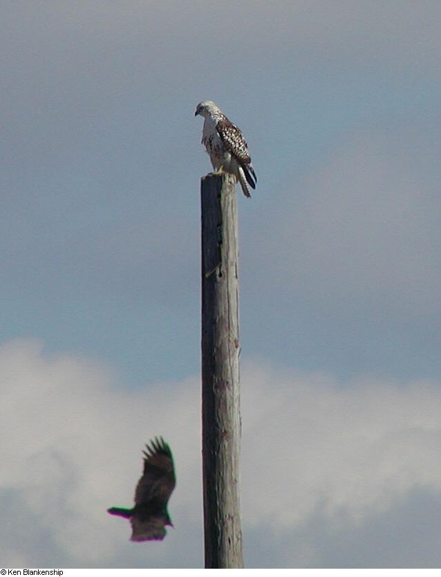
Red-tailed Hawk (Kriders). GMNH 6960. Fite Bend Rd, Gordon County, 11 December 2005. Photo by Ken Blankenship

Red - Laser
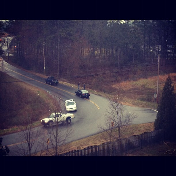
Another wreck. Car in the creek out of view. Saw a woman crawl out and walk back up to the road. Crazy.

Yellow Mustang Roush Conversion

RJ the Cat-2
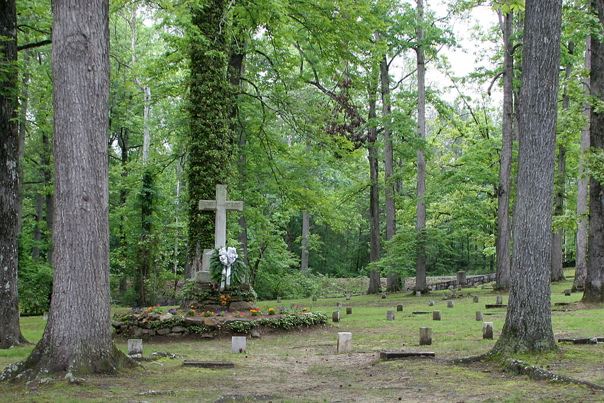
Monument to Unknown at Resaca
Today's view.

iPhone UGA Game
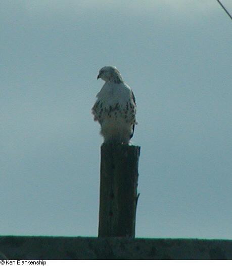
Red-tailed Hawk (Kriders). GMNH 6960. Fite Bend Rd, Gordon County, 11 December 2005. Photo by Ken Blankenship
Supreme Court of the Cherokee Nation
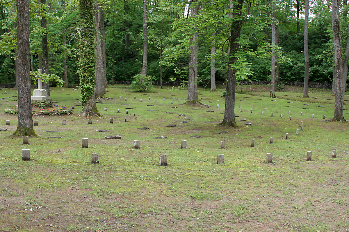
Resaca Confederates

Putting for par. Last time I had an 8 on this hole.
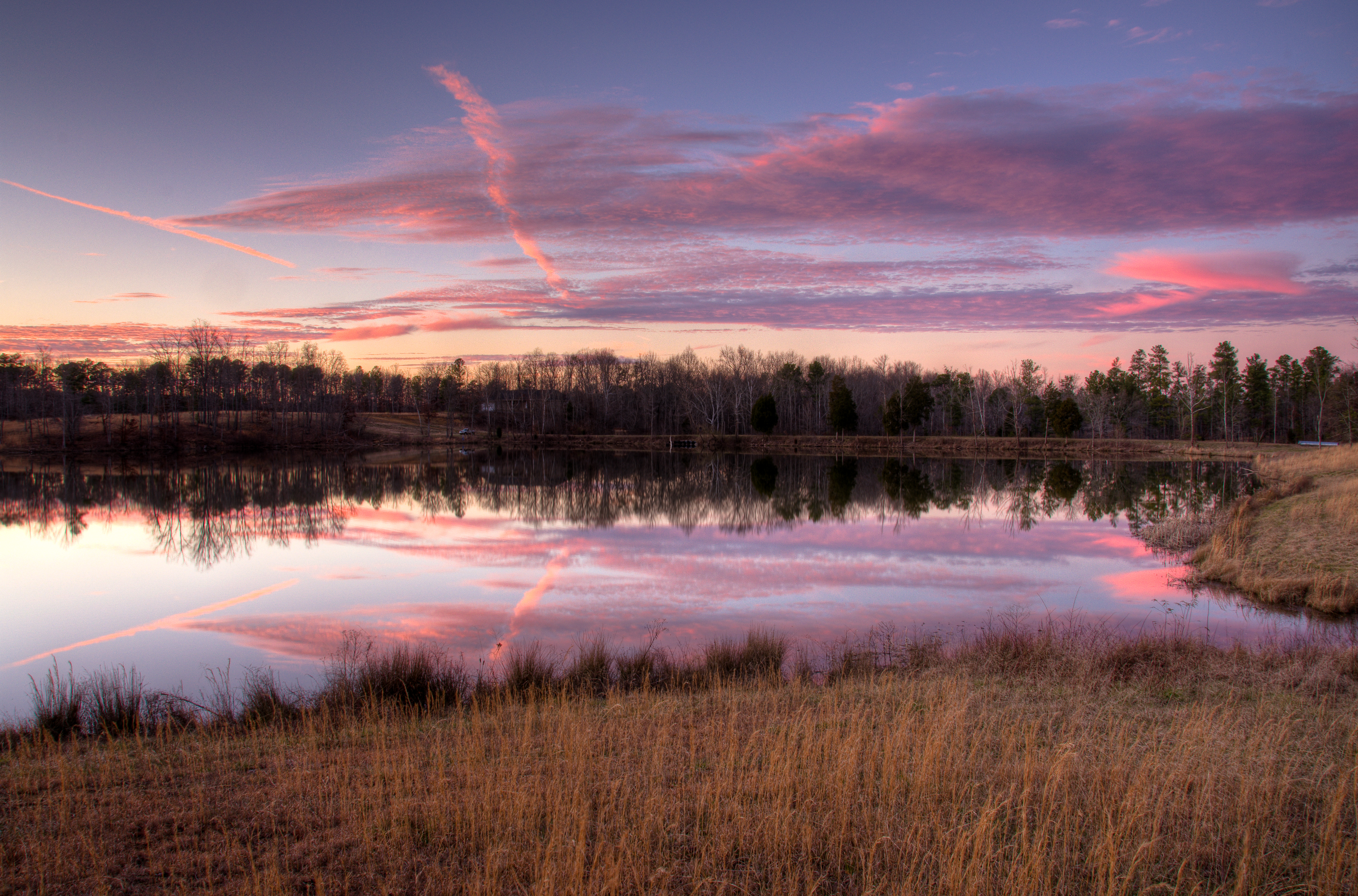
sunset 3

#cycling #calhoun #hugefarm @georgia_proud
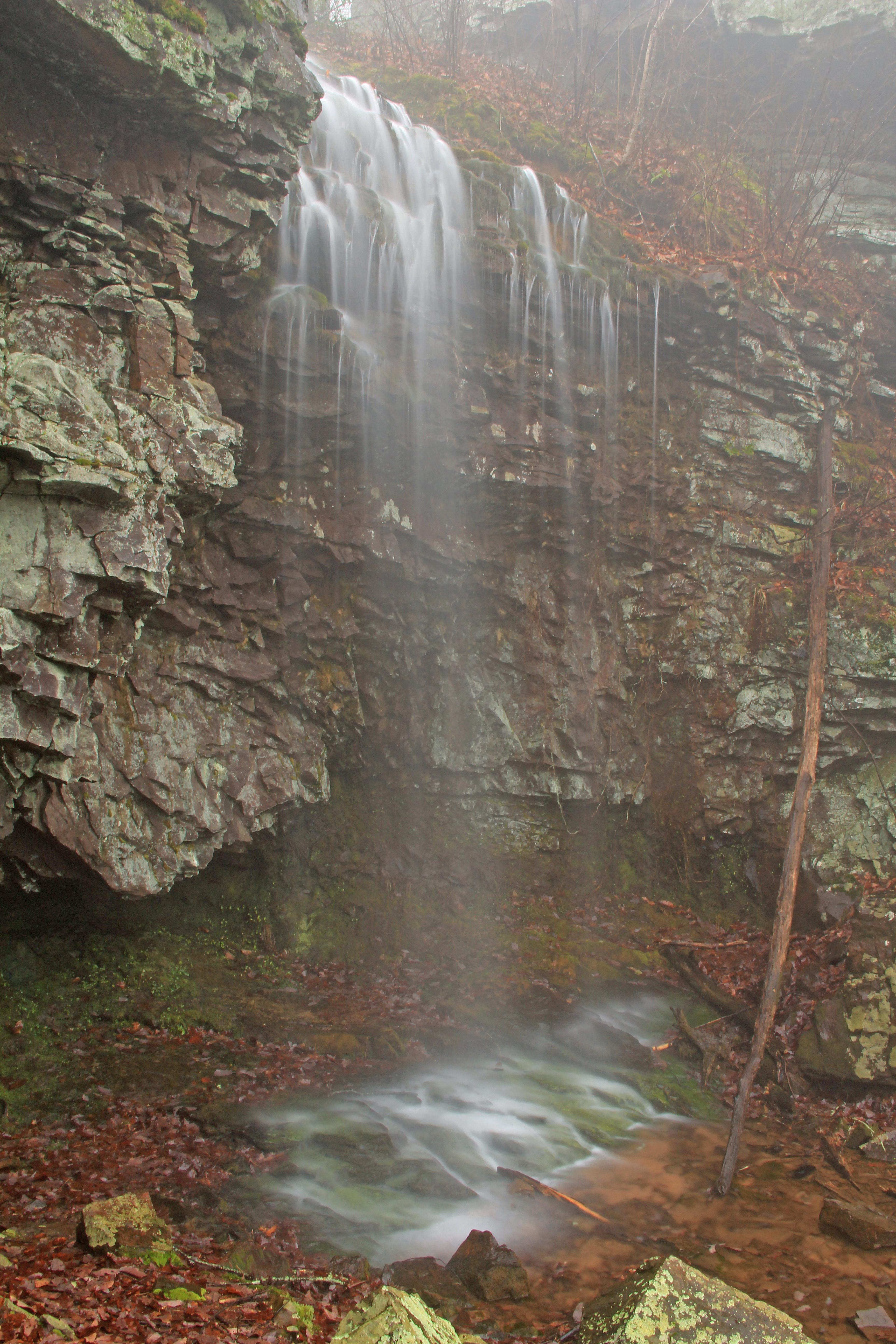
South Keown Falls, Johns Mountain, Keown Falls Recreation Area, Chattahoochee National Forest, Walker County, Georgia 1

This is my blow up hole. @sladefamily @falconcat1 #anazinggolf #cheating #gitrdun
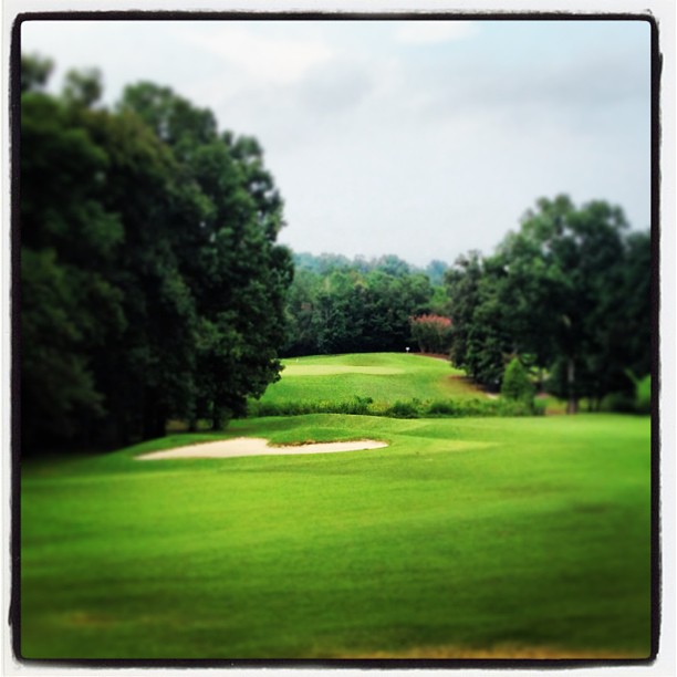
The number 8 dog left. I lay up from here.
2152009 Sunset HDR-4
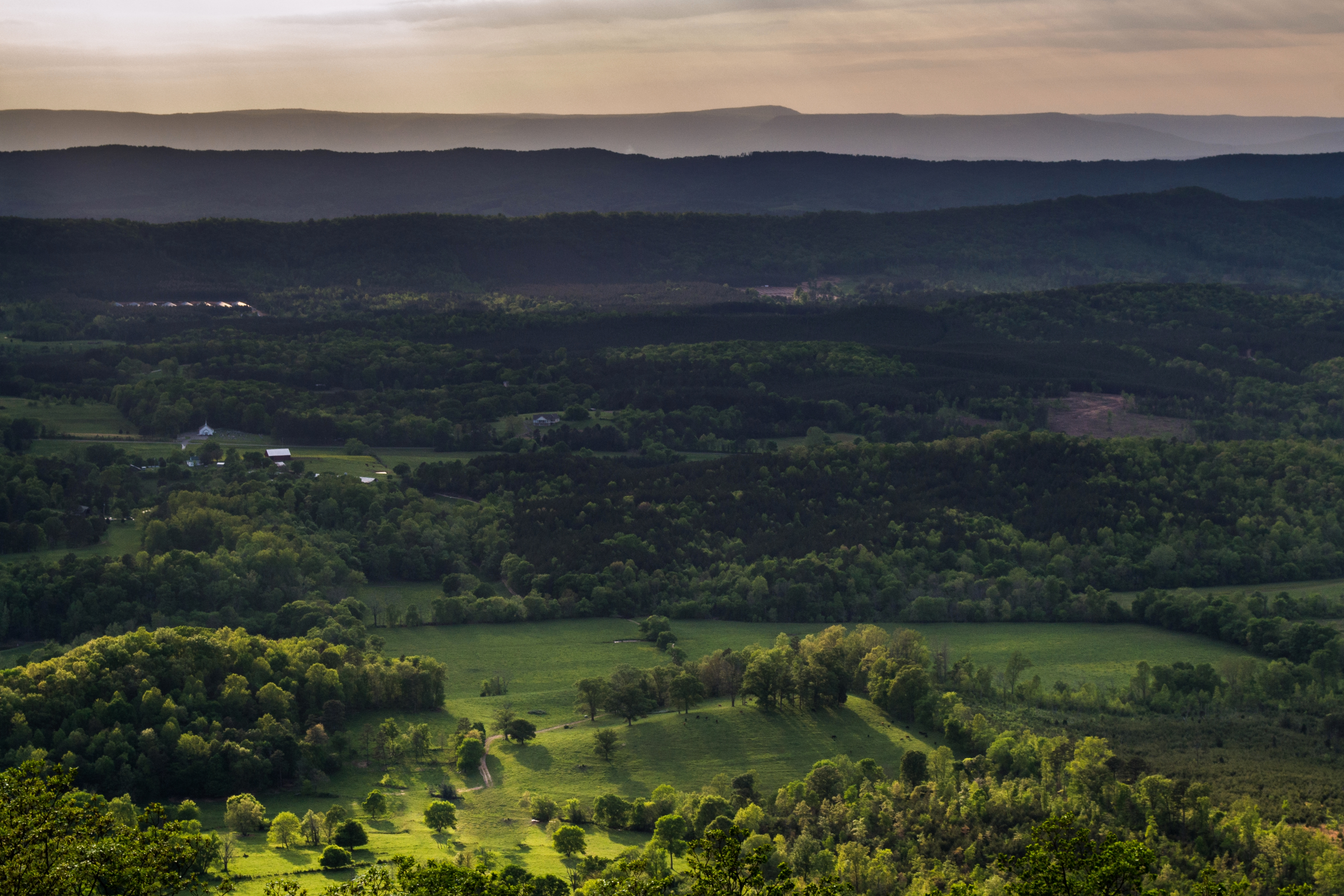
JMW Overlook, Johns Mountain Wilderness
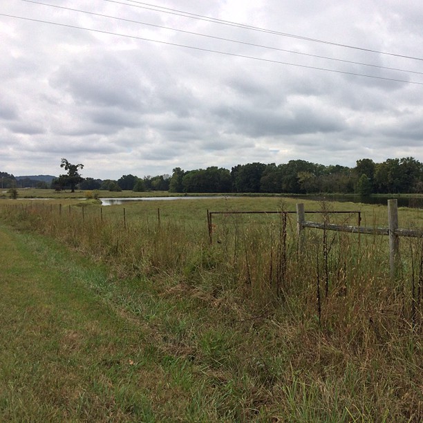
I love my lake
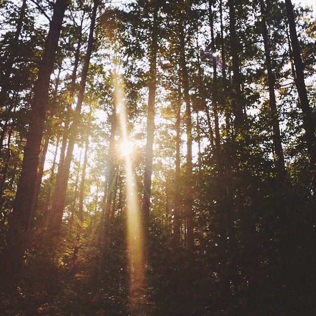
Light to guide
Topographic Map of Resaca, GA, USA
Find elevation by address:

Places in Resaca, GA, USA:
Places near Resaca, GA, USA:
136 Fain Brown Rd Nw
Gracie Rd SE, Dalton, GA, USA
200 Fred Hurley Rd
Davis Ln NE, Calhoun, GA, USA
Haygood Road
Haygood Road
1108 Hill City Rd Nw
Main St, Sugar Valley, GA, USA
Sugar Valley
117 Boston Rd
Calhoun
S Wall St, Calhoun, GA, USA
1100 Dews Pond Rd
Calhoun High School
Baugh Mountain Road
Pine Chapel Rd NE, Calhoun, GA, USA
3808 Nicklesville Rd Ne
3822 Nicklesville Rd Ne
Oostanaula, Calhoun, GA, USA
314 Allen Loop Se
Recent Searches:
- Elevation of W Granada St, Tampa, FL, USA
- Elevation of Pykes Down, Ivybridge PL21 0BY, UK
- Elevation of Jalan Senandin, Lutong, Miri, Sarawak, Malaysia
- Elevation of Bilohirs'k
- Elevation of 30 Oak Lawn Dr, Barkhamsted, CT, USA
- Elevation of Luther Road, Luther Rd, Auburn, CA, USA
- Elevation of Unnamed Road, Respublika Severnaya Osetiya — Alaniya, Russia
- Elevation of Verkhny Fiagdon, North Ossetia–Alania Republic, Russia
- Elevation of F. Viola Hiway, San Rafael, Bulacan, Philippines
- Elevation of Herbage Dr, Gulfport, MS, USA