Elevation of Isle Haute, Cumberland, Subd. A, NS B0M 1A0, Canada
Location: Canada > Nova Scotia > Cumberland County > Cumberland, Subd. A > Advocate Harbour >
Longitude: -65.003146
Latitude: 45.2500529
Elevation: 69m / 226feet
Barometric Pressure: 100KPa
Elevation Map:
Satellite Map:
Related Photos:
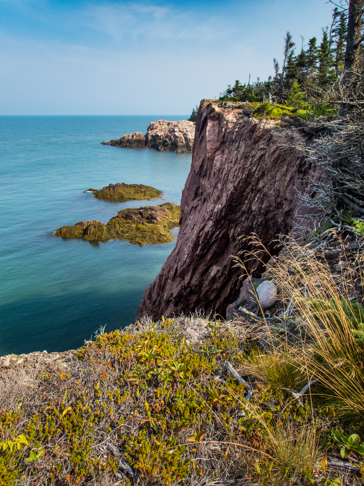
Cape Chignecto Cliffs
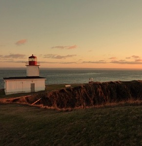
IMG_0013.JPG (2)
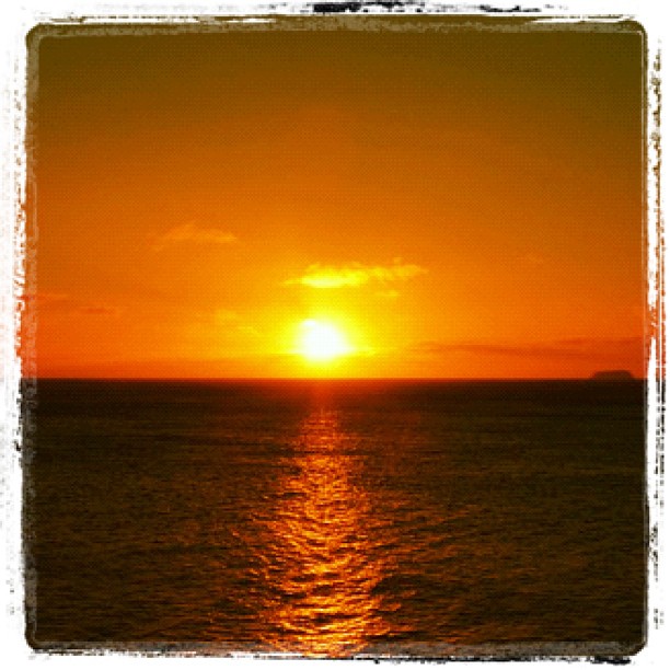
#atlantic #sunset at the #bayoffundy
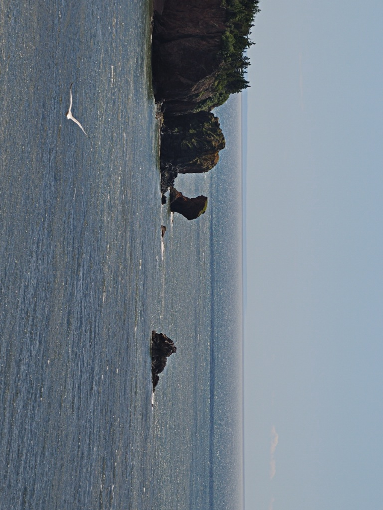
Bird cliff sea Thingy
Topographic Map of Isle Haute, Cumberland, Subd. A, NS B0M 1A0, Canada
Find elevation by address:

Places near Isle Haute, Cumberland, Subd. A, NS B0M 1A0, Canada:
McNally Rd, Kings, Subd. A, NS B0P 1C0, Canada
415 Seaman St
622 Seaman St
1157 W Advocate Rd
64 Seaman St
1 Seaman St, Margaretsville, NS B0S 1N0, Canada
Margaretsville
Cape D'or Sustainable Seafoods Inc
NS-, Advocate Harbour, NS B0M 1A0, Canada
Russia Road
Advocate Harbour
Nova Scotia 221
Nova Scotia 221
Brooklyn St, Aylesford, NS B0P 1C0, Canada
NS-, Advocate Harbour, NS B0M 1A0, Canada
Aylesford
Brooklyn St, Aylesford, NS B0P 1C0, Canada
Alma Parish
4728 Brooklyn St
237 Main St
Recent Searches:
- Elevation of Mamala II, Sariaya, Quezon, Philippines
- Elevation of Sarangdanda, Nepal
- Elevation of 7 Waterfall Way, Tomball, TX, USA
- Elevation of SW 57th Ave, Portland, OR, USA
- Elevation of Crocker Dr, Vacaville, CA, USA
- Elevation of Pu Ngaol Community Meeting Hall, HWHM+3X7, Krong Saen Monourom, Cambodia
- Elevation of Royal Ontario Museum, Queens Park, Toronto, ON M5S 2C6, Canada
- Elevation of Groblershoop, South Africa
- Elevation of Power Generation Enterprises | Industrial Diesel Generators, Oak Ave, Canyon Country, CA, USA
- Elevation of Chesaw Rd, Oroville, WA, USA