Elevation of Irumu, Democratic Republic of the Congo
Location: Democratic Republic Of The Congo > Orientale > Ituri >
Longitude: 29.8439109
Latitude: 1.4391476
Elevation: 914m / 2999feet
Barometric Pressure: 91KPa
Elevation Map:
Satellite Map:
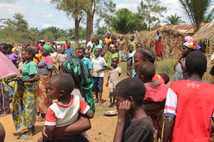
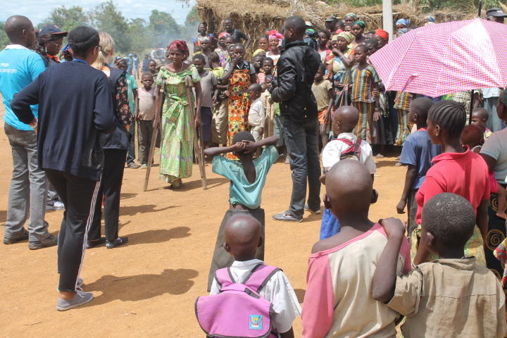
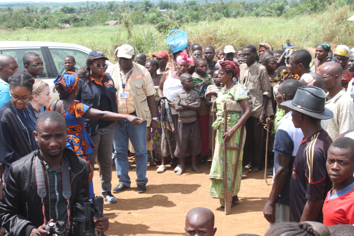
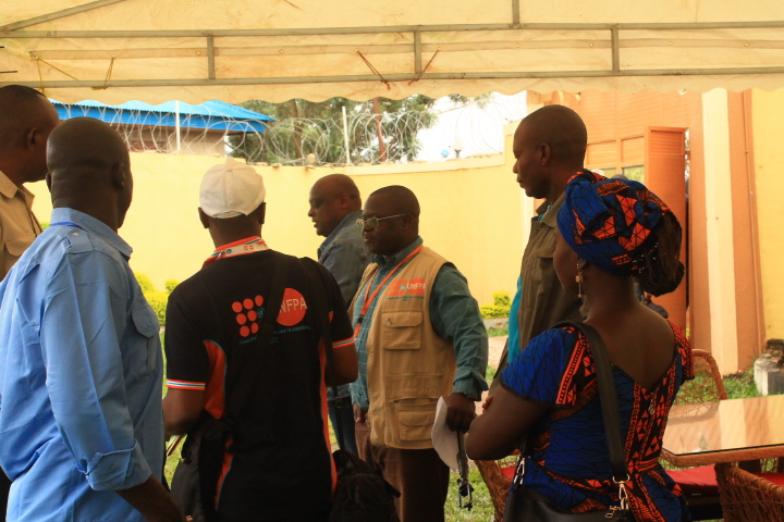
Related Photos:

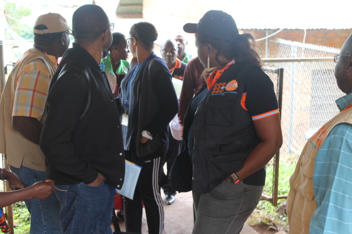
IMG_1729
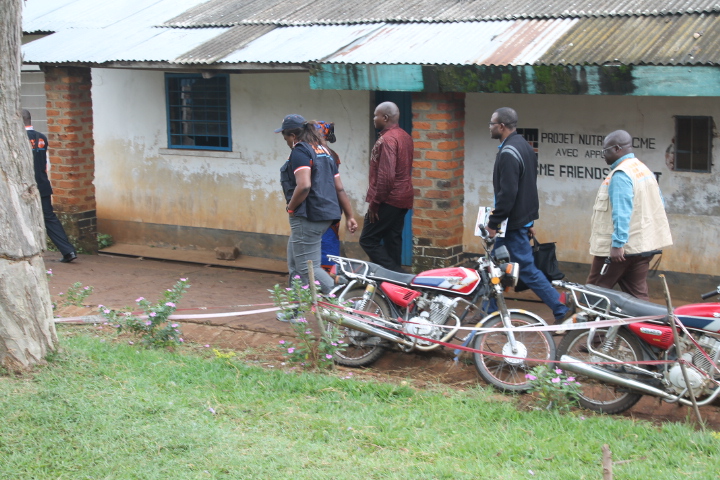
IMG_1730

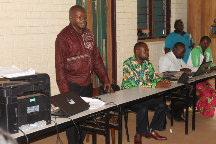
IMG_1731
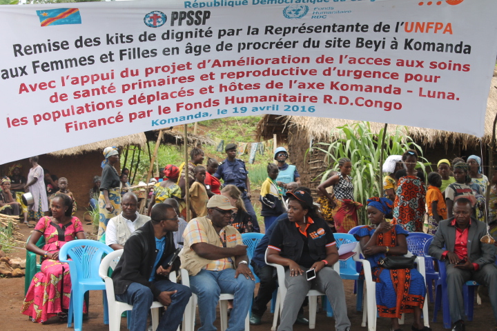
IMG_1732
IMG_1733
IMG_1737
IMG_1739
IMG_1740

IMG_1745
IMG_1746
IMG_1724
IMG_1727
IMG_1728
IMG_1736
IMG_1741
IMG_1742
Topographic Map of Irumu, Democratic Republic of the Congo
Find elevation by address:

Places near Irumu, Democratic Republic of the Congo:
Recent Searches:
- Elevation of Congressional Dr, Stevensville, MD, USA
- Elevation of Bellview Rd, McLean, VA, USA
- Elevation of Stage Island Rd, Chatham, MA, USA
- Elevation of Shibuya Scramble Crossing, 21 Udagawacho, Shibuya City, Tokyo -, Japan
- Elevation of Jadagoniai, Kaunas District Municipality, Lithuania
- Elevation of Pagonija rock, Kranto 7-oji g. 8"N, Kaunas, Lithuania
- Elevation of Co Rd 87, Jamestown, CO, USA
- Elevation of Tenjo, Cundinamarca, Colombia
- Elevation of Côte-des-Neiges, Montreal, QC H4A 3J6, Canada
- Elevation of Bobcat Dr, Helena, MT, USA